Adler’s Nest refuge (2365m), trail 7A
From Stafal to Rifugio Adler’s Nest, ex Rifugio del Lys

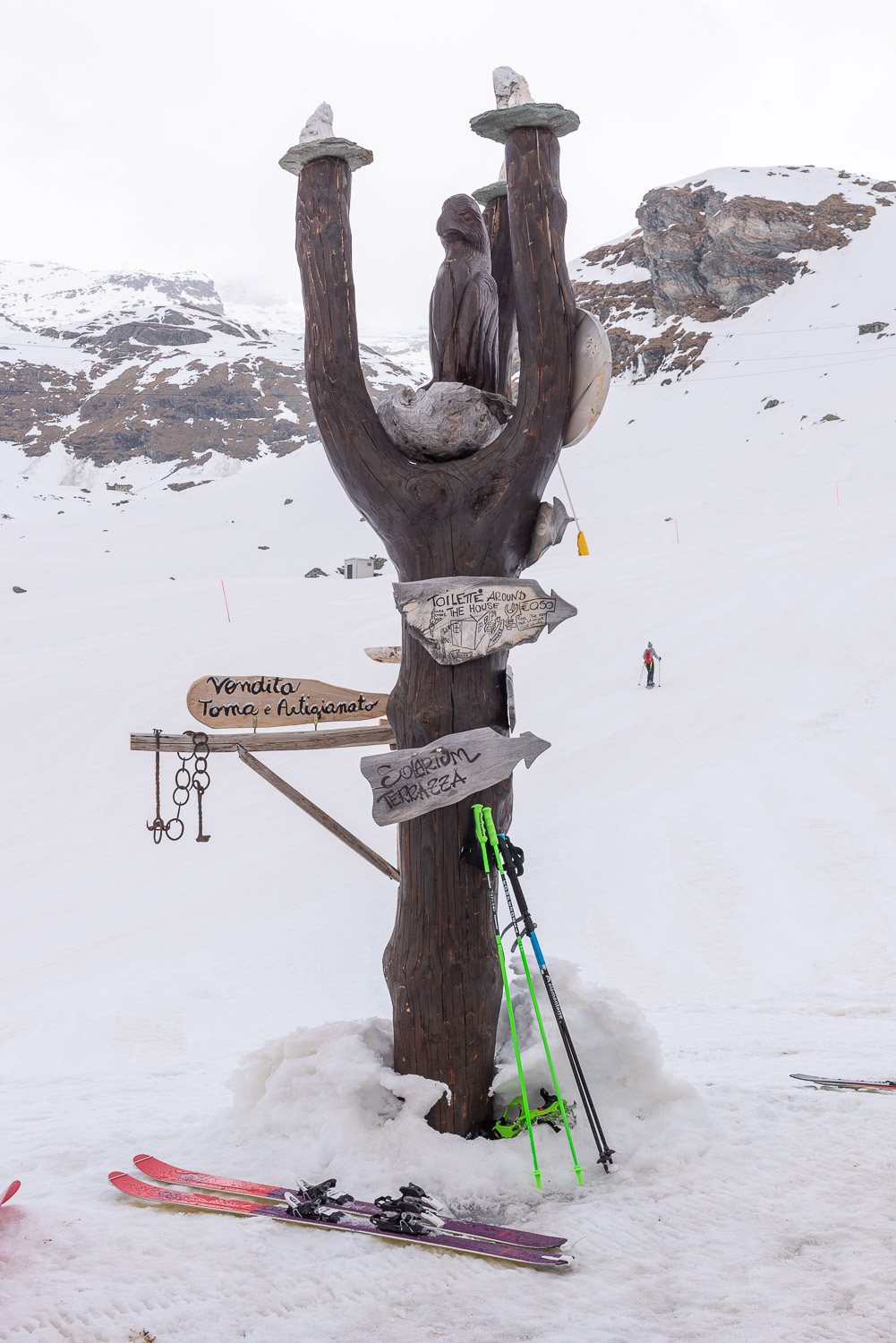
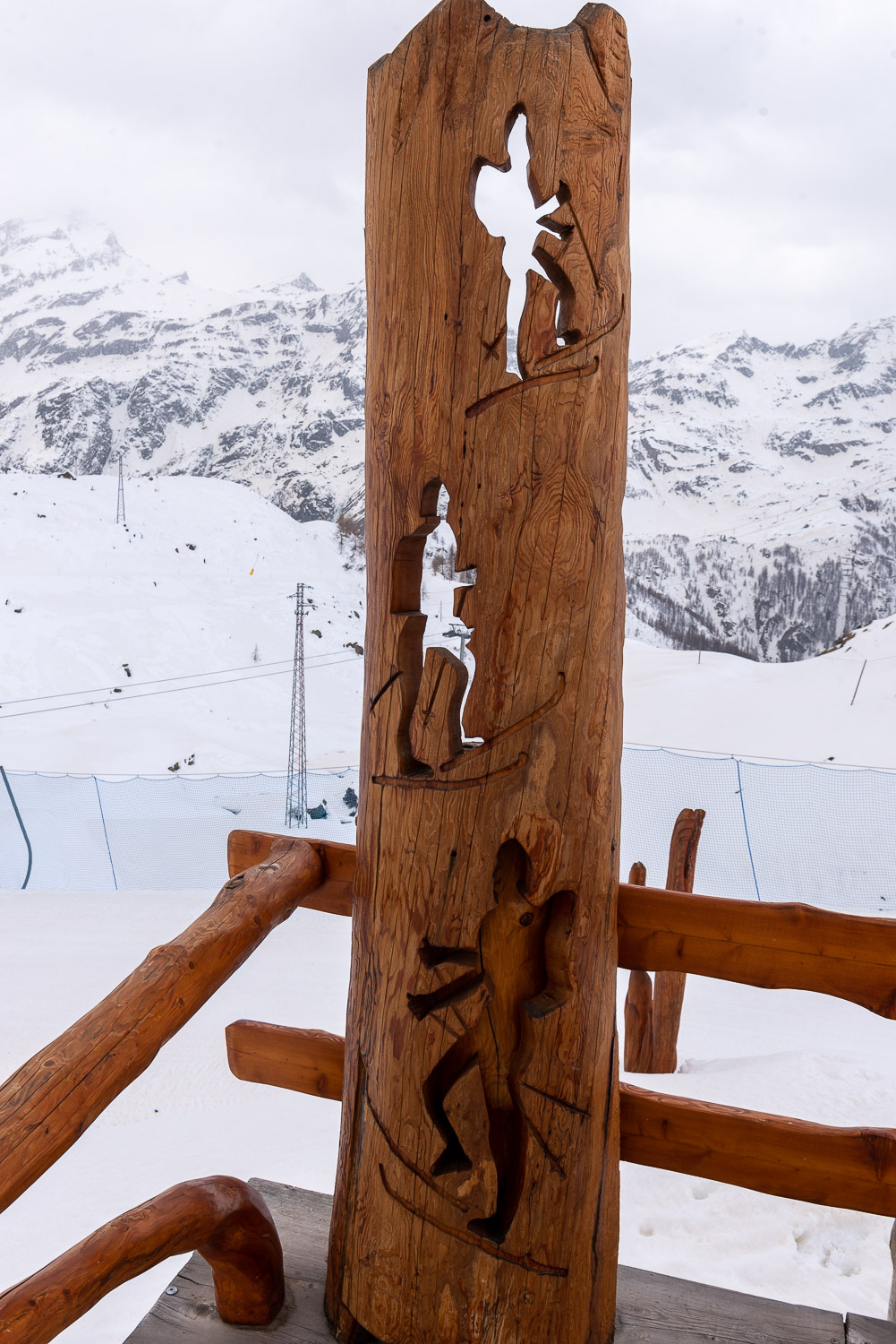
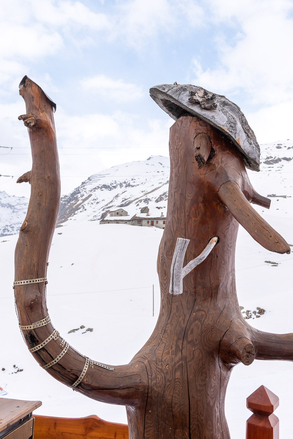
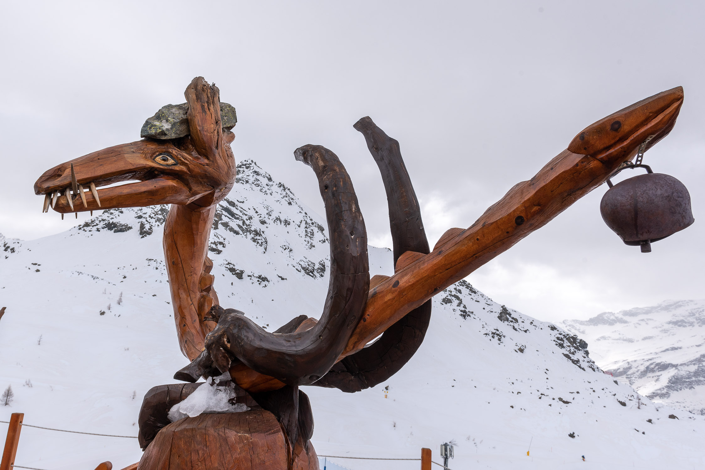
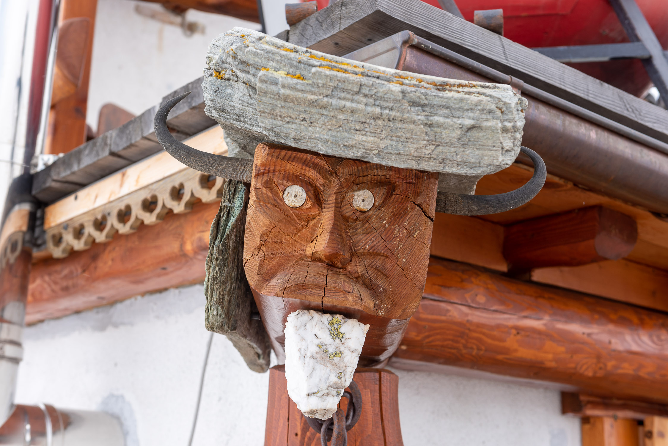
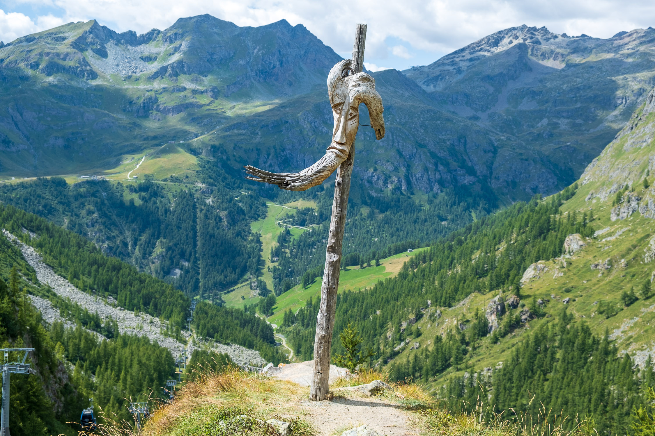
Adler’s Nest refuge
Trail 7A starts from Stafal and arrives at the Adler’s Nest refuge (2365m, formerly known as Rifugio del Lys, a name still used as the destination and starting point for this and several other trails in the Aosta Valley Trail Register). It is 3338m long and the total positive elevation gain is 539m.
The approximate time for the climb is 1h40. The trail is rated of difficulty E.
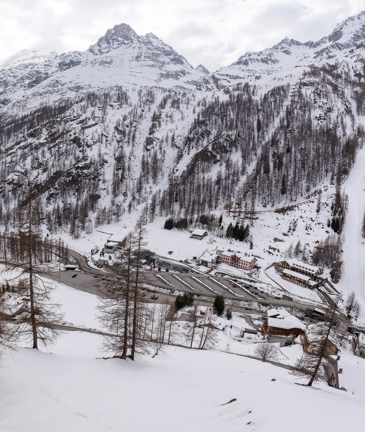
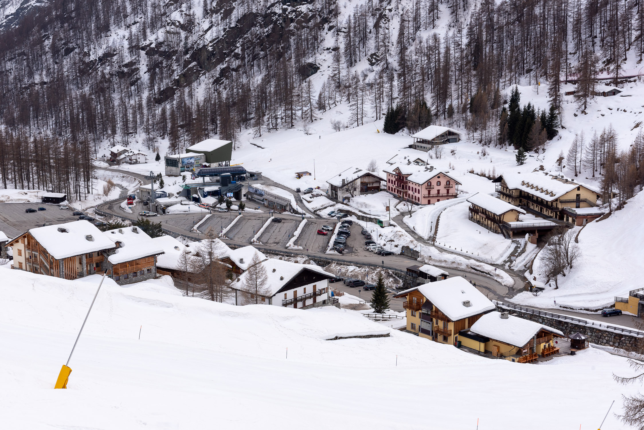
The Adler’s Nest is the current name of the Lys refuge, built in 1906 by the CAI of Gallarate (here you can find more information, and some photos showing the refuge at the beginning of its history). It is located a stone’s throw from the Stafal-Gabiet cable car station, Lake Gabiet, and other mountain huts/restaurants in the area: Bar Ristoro Gabiet See, Rifugio Gabiet (overnight stays available), and Albergo Del Ponte (overnight stays available). If you want to go further, following trail 6B in about an hour’s walk you will reach another hut with overnight accommodations, theOrestes Hutte (exclusively vegan cuisine).
The Adler’s Nest is the starting point for many trails that reach various destinations on this side of the mountain: among the main ones, Alta Luce (trail 7c), Lago Blu and Punta Telcio (trail 7B), Rifugio Città di Mantova and Capanna Gnifetti (trail 6A), Passo Zube and Rothore/Corno Rosso (trail 4), Col d’Olen and Passo dei Salati (trail 6).
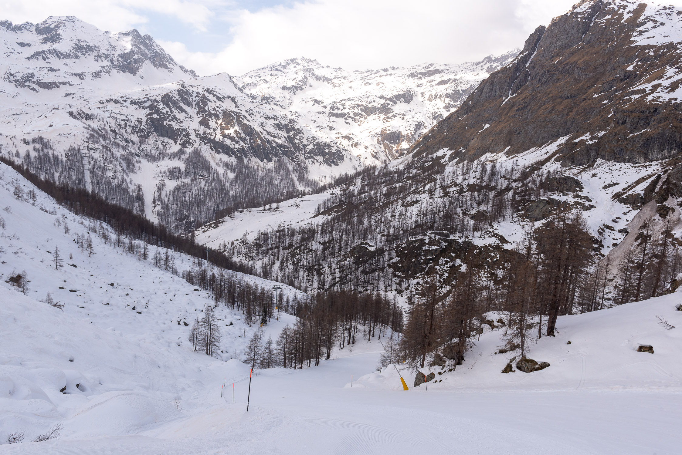
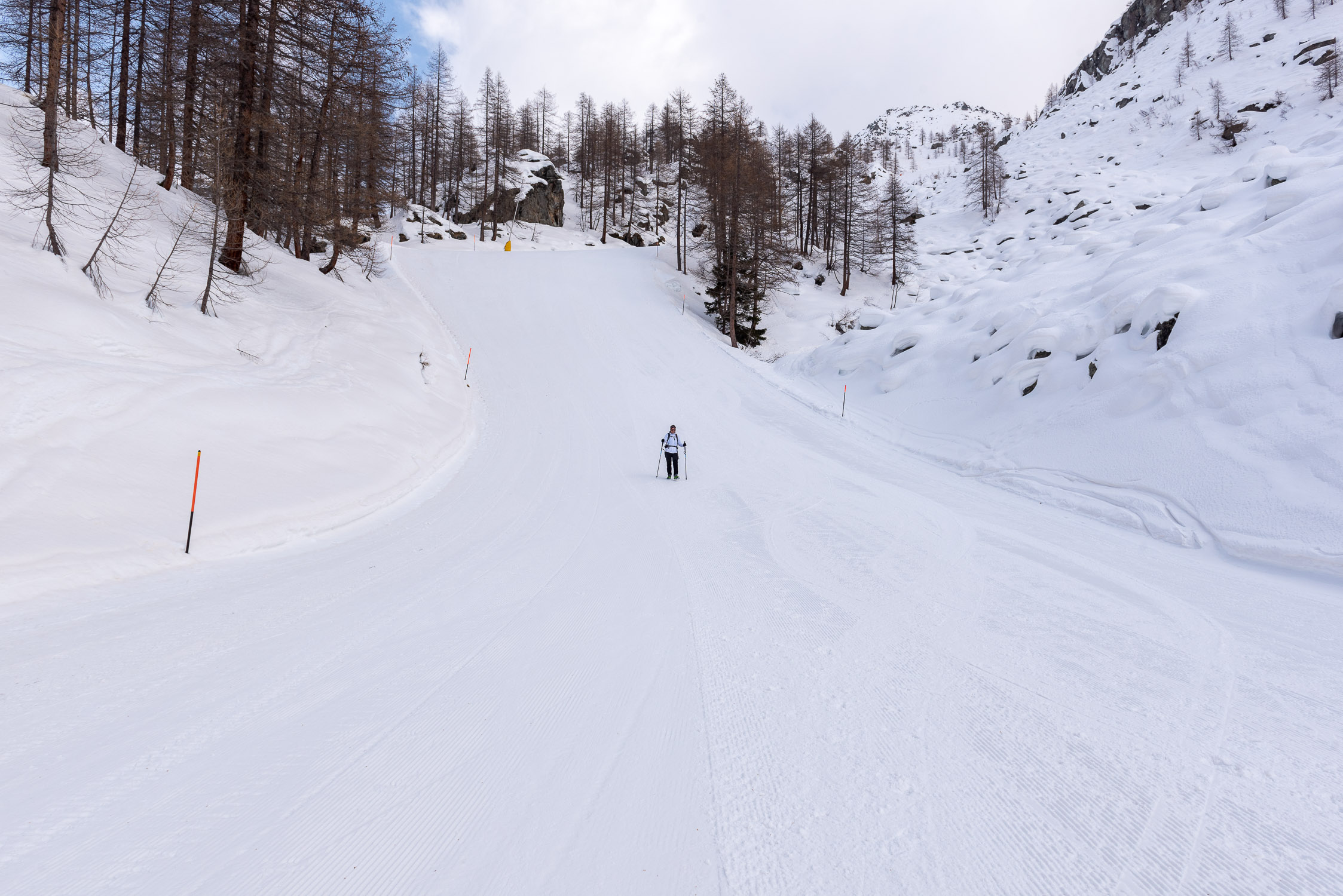
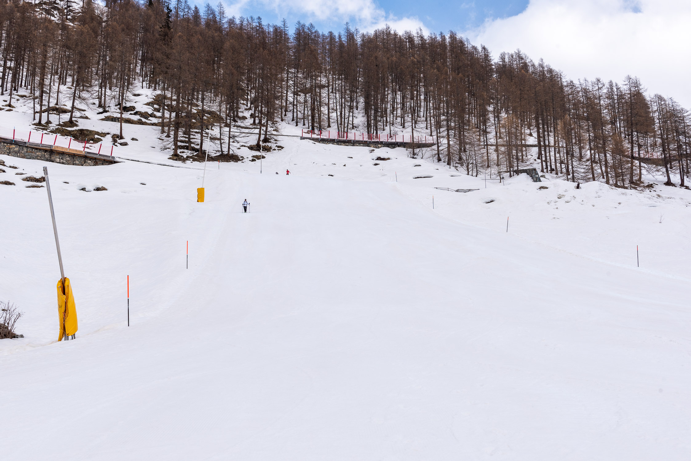
Being so close to the cable car station, few people decide to take trail 7A, which starts in Stafal and climbs up the entire Moos valley, just a short distance from the cable car route.
I, too, have never walked this trail uphill, except once in February 2021, during the lockdown for Covid: in fact, since it was completely snow-covered, I did not follow the entire trail but for the final two-thirds I simply walked up the Moos ski slope.
Instead, I have ridden it downhill several times, which allows me to give a couple of broad indications here. Undoubtedly I noticed that it is a trail without the slightest technical difficulty, for the first two-thirds very gentle and then rather steep in the last third, very well marked at least in the second half (from the point where you leave the Moos trail onwards). I never walked the initial section, because I always stayed without ever leaving it on the Moos track dirt road that runs practically parallel to it. I vow to walk it at least once uphill as soon as possible so that I can update this page with more detailed photos and information.


