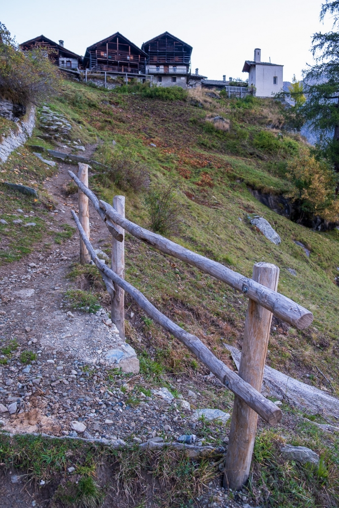
SITE INFORMATION

SITE INFORMATION

Ascent time is an extremely subjective value, being closely related to the athletic ability of the hiker.

The ascent times given on this site are taken from the Catasto Dei Sentieri della Valle D’Aosta, which reports ascent times calculated from the altimetric course of the route: this explains why reported times are very precise (example: 4 hours and 28 minutes, instead of 4 hours and 30 minutes)

Instead, on guidebooks and maps on the market, ascent times are calculated assuming that a trained walker, not including stops, can overcome 300 to 400 meters of elevation gain per hour of walking.

I have verified that the times given by the Cadastre Of Trails are always equal to or slightly longer than the times indicated by the Aosta Valley tourist office trail map: e.g., for the trail 4, from Obre Eselbode to Zube Pass, the Trail Cadastre reports a hiking time of 4 hours and 28 minutes (roughly equivalent to 4.5 hours) , while the trail map says it gets by in 4 hours split.

The total elevation gain reported by the Cadastre for this trail is 1315 meters, which is equivalent to 3.2 hours (climbing at a rate of 400 meters elevation gain per hour) or 4.3 hours (climbing at a rate of 300 meters elevation gain per hour). Thus it seems that the cadastre calculates the ascent time considering a speed of 300 meters of elevation gain per hour, while the trail map considers an intermediate speed between 300 and 400 meters.

I preferred to remain cautious, so I always reported the times of the Cadastre Of Trails .

This site uses the trail difficulty classification defined by this document prepared by the Central Hiking Commission of the Italian Alpine Club.

  • Blue trails are of difficulty T (Tourist).
  • Green trails are of difficulty E (Hiking).
  • Orange trails are of EE (Experienced Hikers) difficulty.
  • Red trails are of difficulty EEA (Experienced Hikers with Equipment).

Difficulty levels were taken from both the Aosta Valley Cadastre Of Tra ils and the Trail Map (2019 edition) distributed by theAosta Valley Tourism Office . In case of conflict on a single trail between the two sources, the higher classification was always reported.

Here is how the individual difficulty levels are described below:

T (Tourist)

  • FEATURES
    Routes on cart tracks, mule tracks or obvious paths that pose no uncertainties or problems of orientation, with modest inclines and moderate elevation changes.
  • SKILLS AND COMPETENCIES
    Require basic hiking knowledge and physical fitness for walking.
  • EQUIPMENT
    Appropriate clothing and footwear are still required.

E (Hiking)

  • FEATURES
    Routes that represent the majority of hiking routes, thus among the most varied in terms of natural environments. They take place on mule tracks, trails and sometimes tracks; on different terrain by geomorphological and vegetation context (e.g., pastures, undergrowth, debris, scree). They are generally marked and may have steep sections. Easy, unexposed rock passages can be encountered that require the use of hands for balance. Any exposed spots are usually protected. They can cross flat or shallowly sloping areas on residual snow.
  • SKILLS AND COMPETENCIES
    Require sense of direction and hiking experience and adequate training
  • EQUIPMENT
    Suitable equipment with special regard to footwear is required.

EE (Experienced Hikers)

  • FEATURES
    Almost always marked trails that require ability to move along trails and tracks over impervious and/or treacherous terrain (steep and/or slippery slopes of grass, rocks or stony debris), often unstable and uneven. They may have exposed sections, traverses, ledges or rocky sections with slight technical difficulties and/or equipped, while via ferratas proper are excluded. They are developed on medium to steep slopes.
    Crossing sections on snow may be necessary, while all glacier routes are excluded.
  • SKILLS AND COMPETENCIES
    Need excellent hiking experience, orienteering skills, knowledge of the characteristics of the mountain environment, sure-footedness and absence of vertigo, evaluative and decision-making skills as well as adequate physical fitness.
  • EQUIPMENT
    Require appropriate equipment and gear for the planned itinerary.

EEA (Experienced Hikers with Equipment)

  • FEATURES
    A ferrata is defined as a route whose sections on rock are specially equipped with metal structures: cables, chains, ladders, pegs and stirrups, which facilitate and enable its progression.
  • EQUIPMENT
    Provide for the use of personal protective equipment certified according to current regulations (harness, via ferrata kit and helmet) and adequate technical preparation.
    They are marked at the start by special signs and meet precise construction and regulatory criteria.

GPX trail plots have two sources: the “official” ones come from the Aosta Valley Trail Cadastre, a site that reports technical information on all trails in the Aosta Valley. The information contained is very interesting, it is just too bad that the site has a rather dated user interface that does not make it super easy to use without a fair amount of learning effort.

The other tracks reported in the “Personal Excursions” sections were collected by me from 2021 onward, mainly using a watch (a Garmin Fenix 5x) and in very rare cases a satellite communicator (a Garmin InReach Mini).

The site uses maps from different online services as the background of the tracks.

You can always change the map used as the background by clicking on the button at the top right of the map:

OpenStreetMaps is used by default only on pages where the overall view of all paths is shown, because being low in detail it does not confuse the viewer.
To get to the bottom of individual trails, I would certainly recommend switching to OpenTopoMaps, which is definitely the best for hiking use. In fact, OpenTopoMaps is used by default on all pages where individual trails are shown.

It is also possible to choose maps from Mapbox, a service that provides not only an elevation map but also a satellite map.

Both OpenStreetMaps and OpenTopoMaps are free open-source services. Mapbox, on the other hand, is a commercial service.

I am a great lover of Gressoney, which I have frequented for 30 years, skiing in the winter and hiking its trails in the other seasons.

It has long bothered me that there was no site dedicated to hiking practiced in the Gressoney Valley alone. In the late summer of 2021, perhaps intoxicated by the post-lock-down awakening, I thought I could build it myself: I made sure I had all the necessary materials (photographs, layouts, general information), checked that it was possible to build a website with the features I wanted it to have, and started with the work. I started in December, and finished in June: seven months in which I really enjoyed it, and regretted not thinking about it sooner….

Almost all of Gressoney’s trails are fairly busy and well-maintained, so once you take them, it is very easy to follow them to the end. For this reason, I did not find it necessary to detail in detail every turn of the route: the route descriptions, in addition to giving general directions, focus on delicate or dangerous points where special care must be taken. Each description is accompanied by numerous photos whose intent is to show precisely what the text describes.

All photographs on the site were taken by me, with the exception of images taken from Google Maps and Google Earth.

The official GPX tracks come from the Aosta Valley Cadastre Of Trails.

The tracks in the “Personal Excursions” sections were personally recorded by me.

The color set and logo are Andrea‘s work.

For some trails I have started to add videos from Youtube, especially from the channel of my friend Bruno Borello (another great lover of our valley). The work is still in progress.

I have tried to be as accurate and complete as possible, but it is likely that I have missed something: should you find any errors or inaccuracies on the site, or have any questions, please write to me: info@sentierigressoney.it.