Trail 7B starts from Stafal, just before the grocery store, see photo from Google Street View:

The departure of 7B from Stafal
Shortly after the start, a sign indicates a detour for the trail to the right: walk a short distance on level ground until you reach the wonderful chapel of San Grato, built in 1643, a virtually unknown jewel, hidden by a house that stands right in front.

The Chapel of San Grato
You reach the paved road and cross it, following the yellow marker post that invites you to climb along a dirt road. After a few dozen meters you can see signs on the left inviting you to climb to the right.

The detour on the initial dirt road
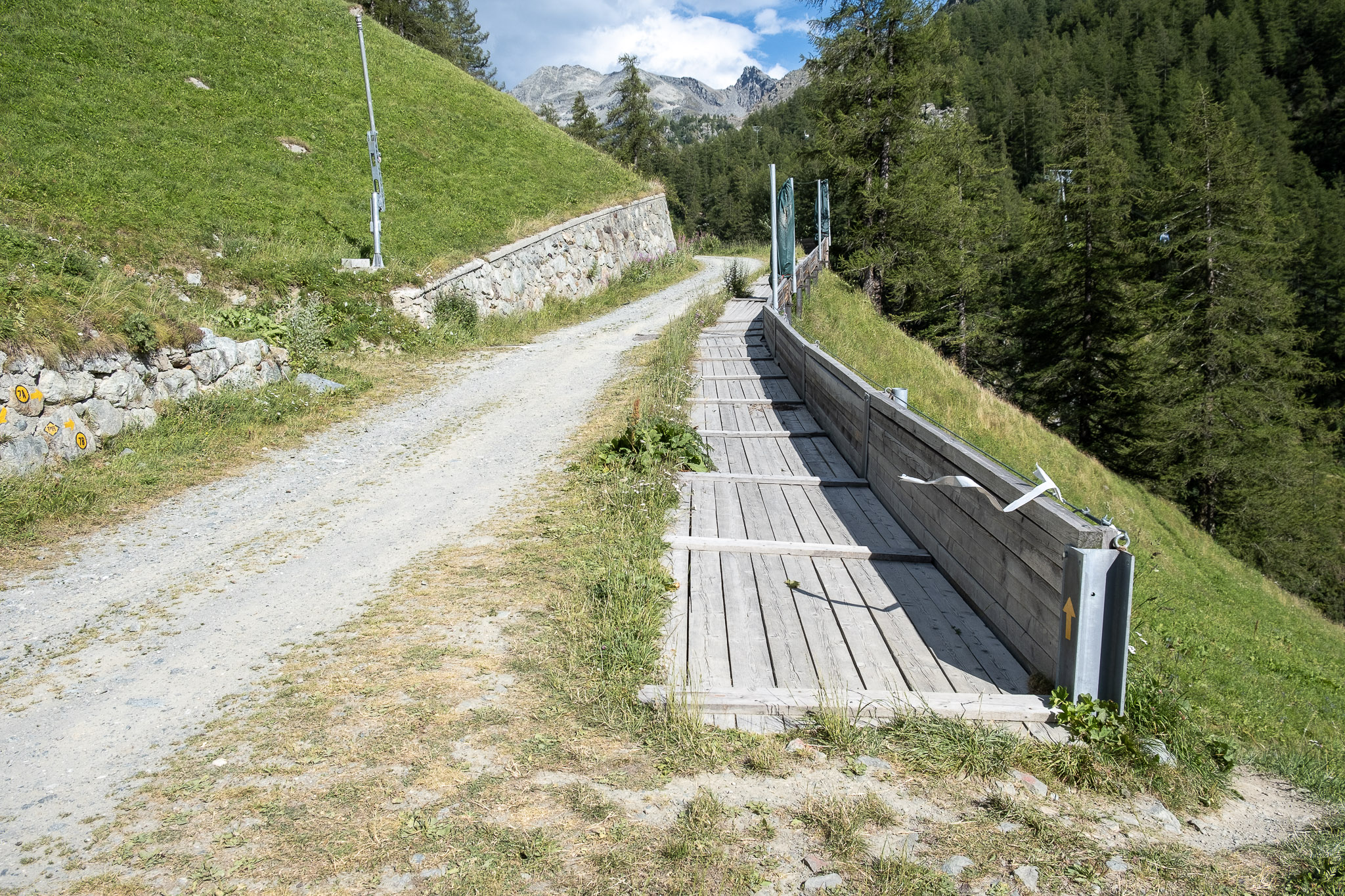
It climbs up a steep meadow with several turns until it reaches a wide dirt road, which in winter is part of the return ski slope to Staffal.

You go up the meadow until you reach the road visible above
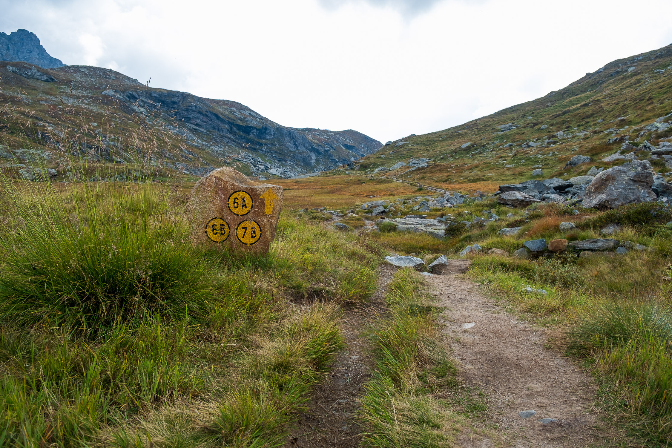
Continue along the dirt road for about two hundred meters: at a fork follow signs for trail 7A and 7B uphill true left.

Turn left at the fork
The signs for Trail 7A are left out: after about center meters, an uninhabited hut is reached, with signs for Trail 7B clearly visible next to it.

The lodge with directions to trail 7B
From here it starts to get serious. The trail climbs to the left of the hut, initially along the ridge (passing by other ruins), then moving to the center of the small valley on the left, until it passes the area of trees.

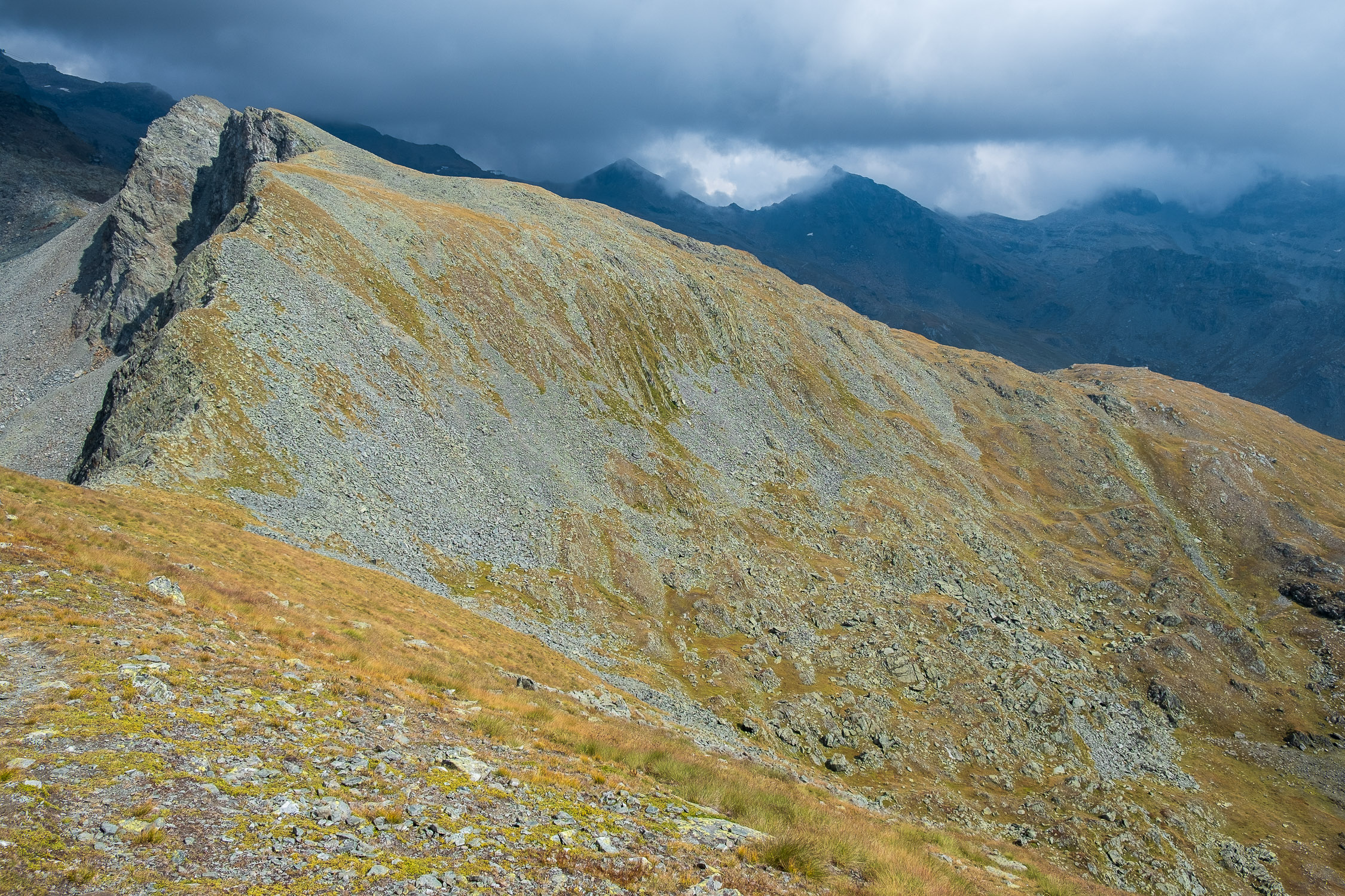
Abandoning the trees, the trail climbs halfway up the hillside
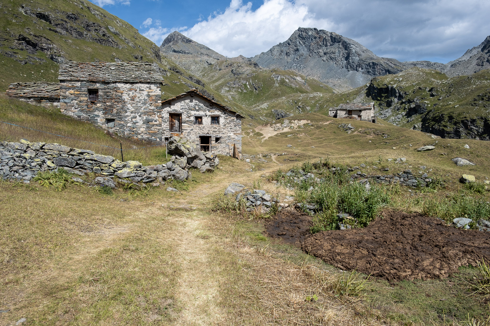
Once the trees are over (about 2140m), the trail continues at a gentler slope, skirting a rocky front on the left. One passes two rocky steps and, circling around the shoulder of the relief, finally comes to see the esplanade where the beautiful huts of Welfsch Gaveno (2643m) stand.

The lodges of Welfsch Gaveno, 2453m
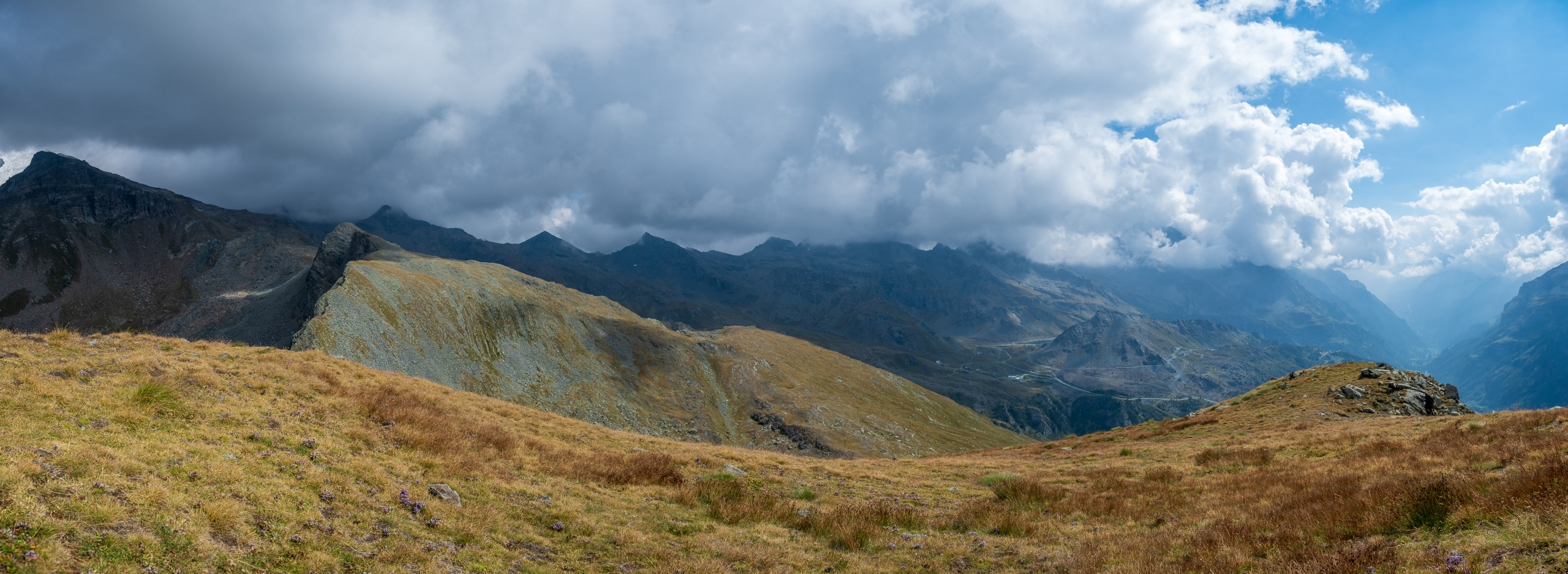
You reach the huts by following the trail, which at times is not very clear, passing them always continuing almost level, until you cross trail 6A coming from the right.

The intersection with trail 6A
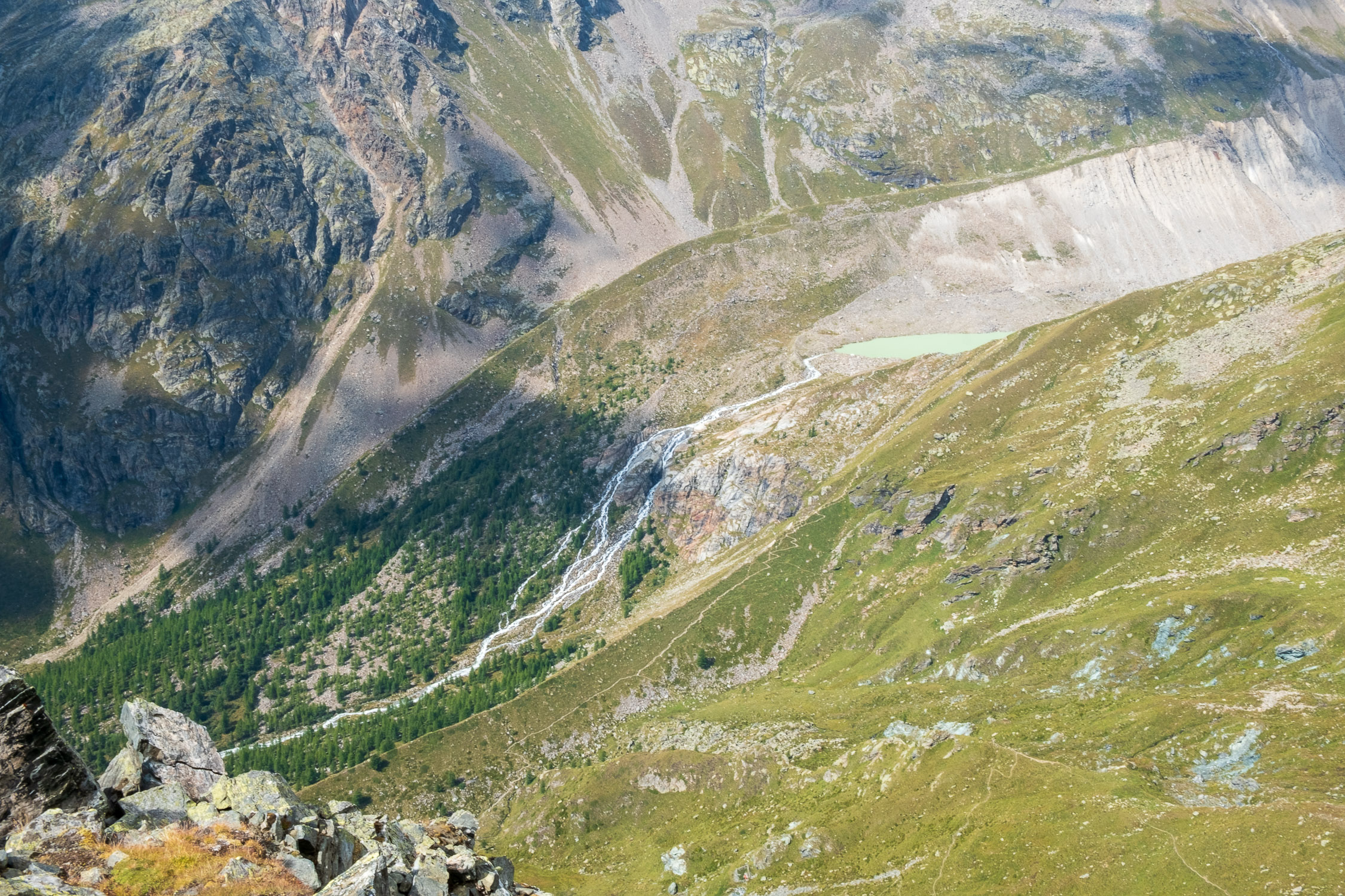
After passing a small and picturesque waterfall…

Waterfall on the Endrebach stream
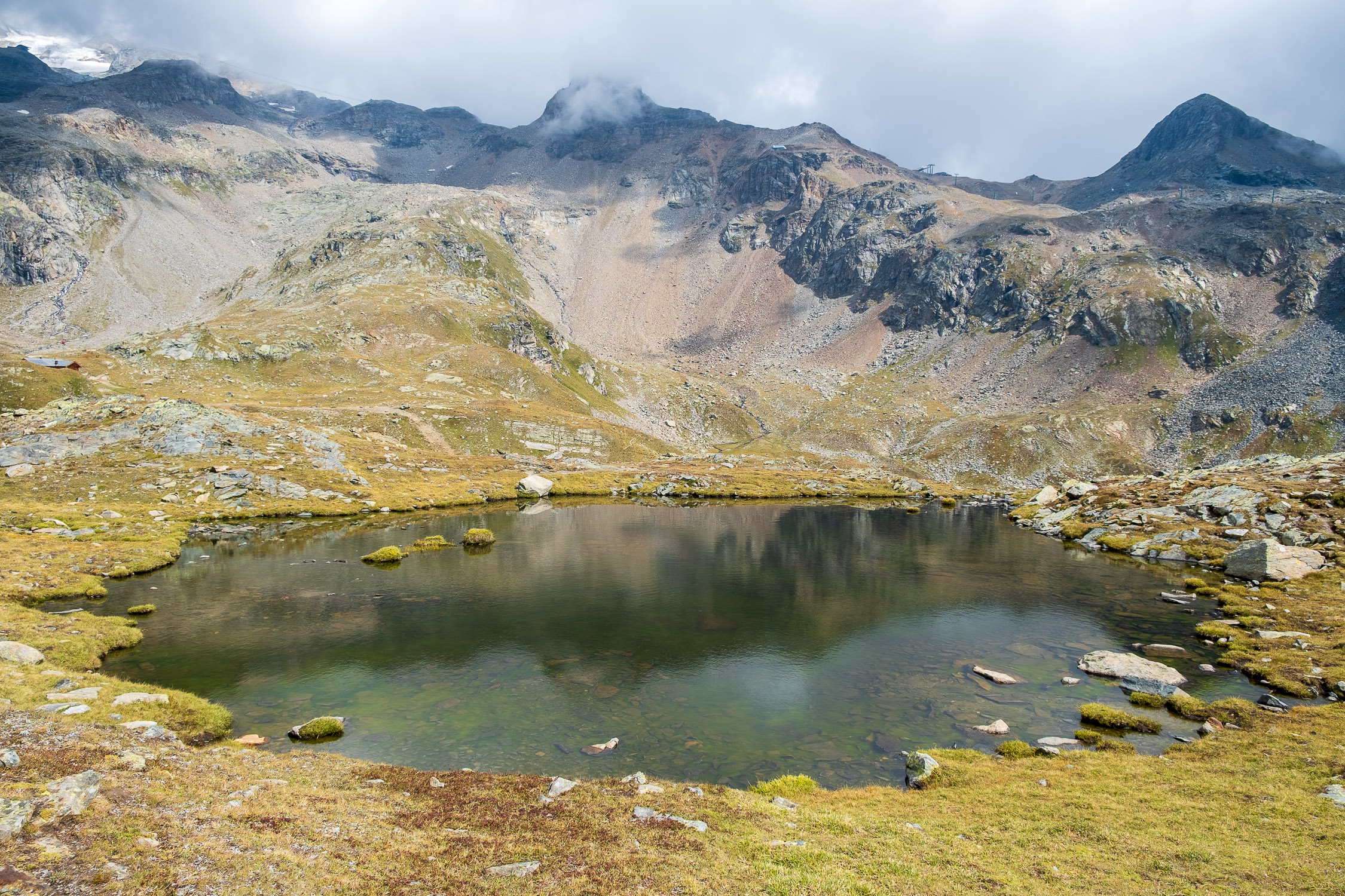
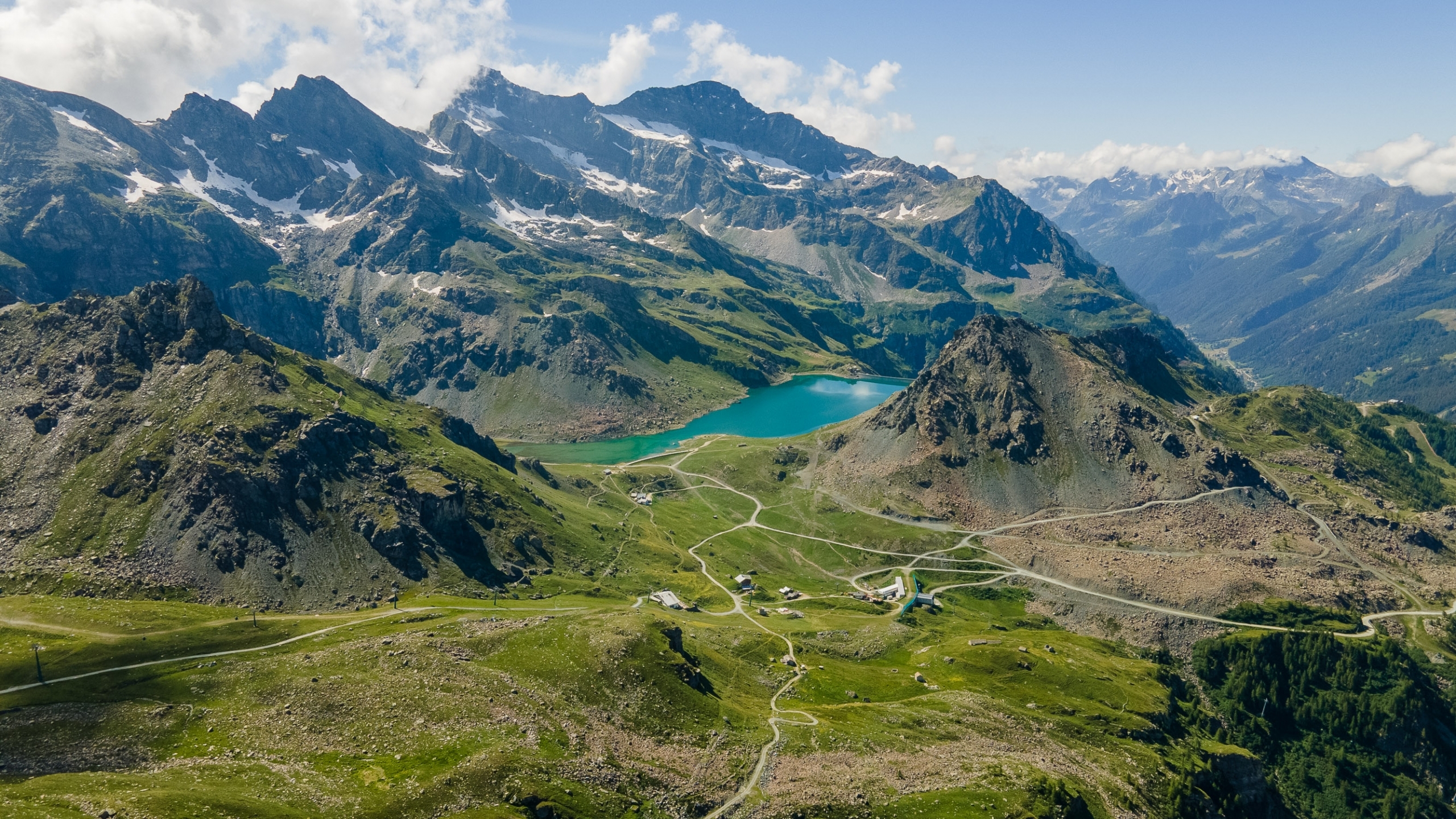
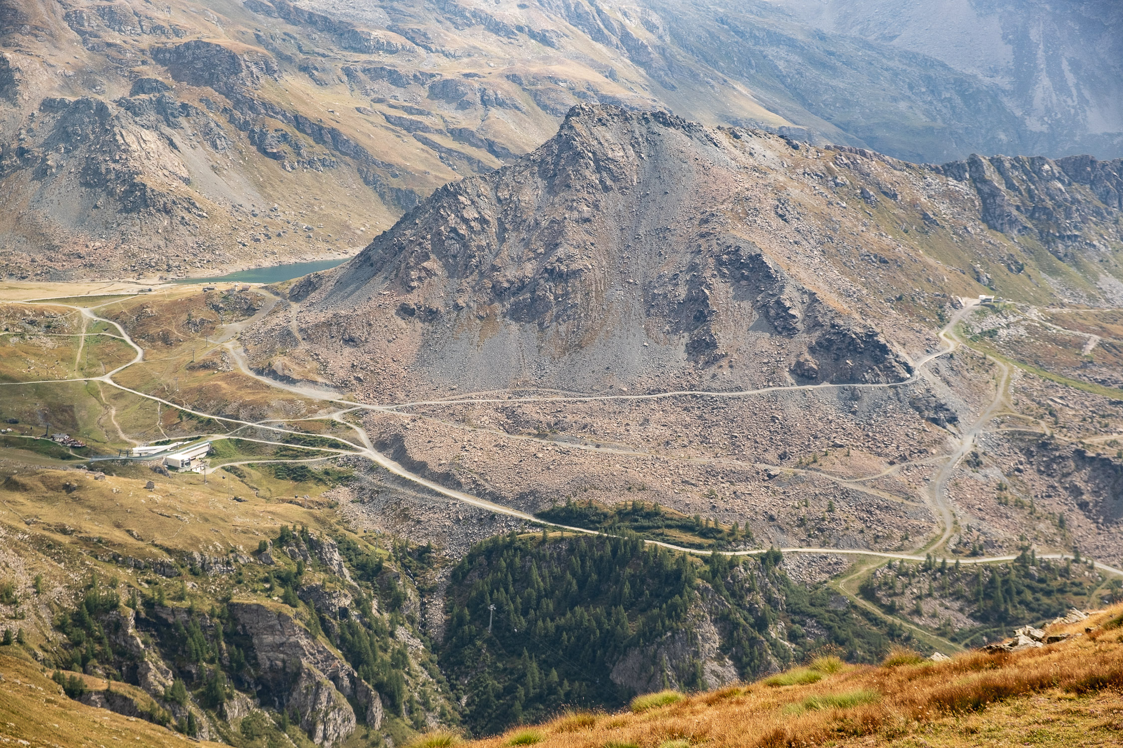
…The trail continues for a flat section until it reaches at 2511m a small dam that bars a small artificial lake.

The dam as seen from the top of trail 7B, the trail comes to it from the right
At the dam, the trail forks: 6B continues straight to the Orestes Hutte, we abandon it and continue on 6A/7B to the left. A little further on is another fork in the road: trail 6A, which we are following, goes straight ahead, toward the Mantova refuge. We again take the road to the left, along 7B, now no longer shared with other trails.

The junction between trail 6A and 7B
As soon as you take the left fork you will find a first unnamed pond (no, this is not Blue Lake): until 2020 on a boulder was a small wooden rooster, the homologue of the one we will find on the cairn at the top of Punta Telcio.

A first rooster is found near the anonymous pond
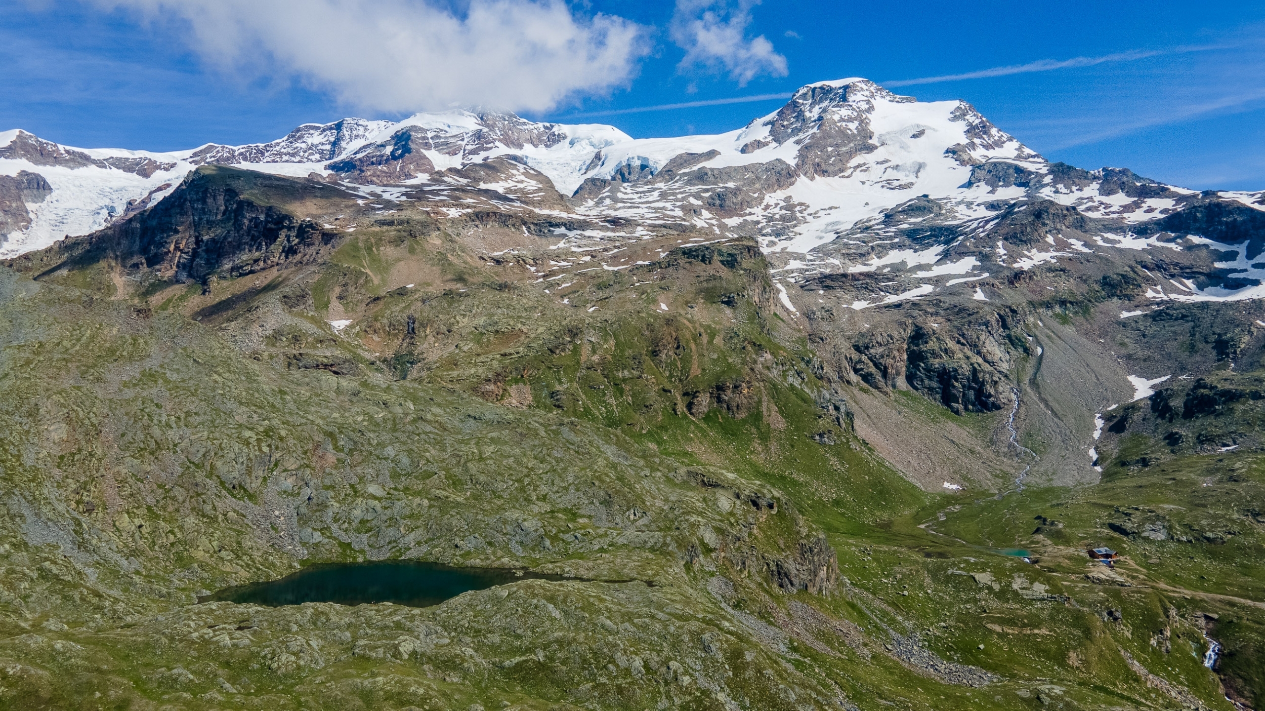
You contour around the pond on the left and follow the trail, which soon leads up a steep gully to Blue Lake (2687m) . On clear days the Vincent Pyramid is reflected there.

The Blue Lake
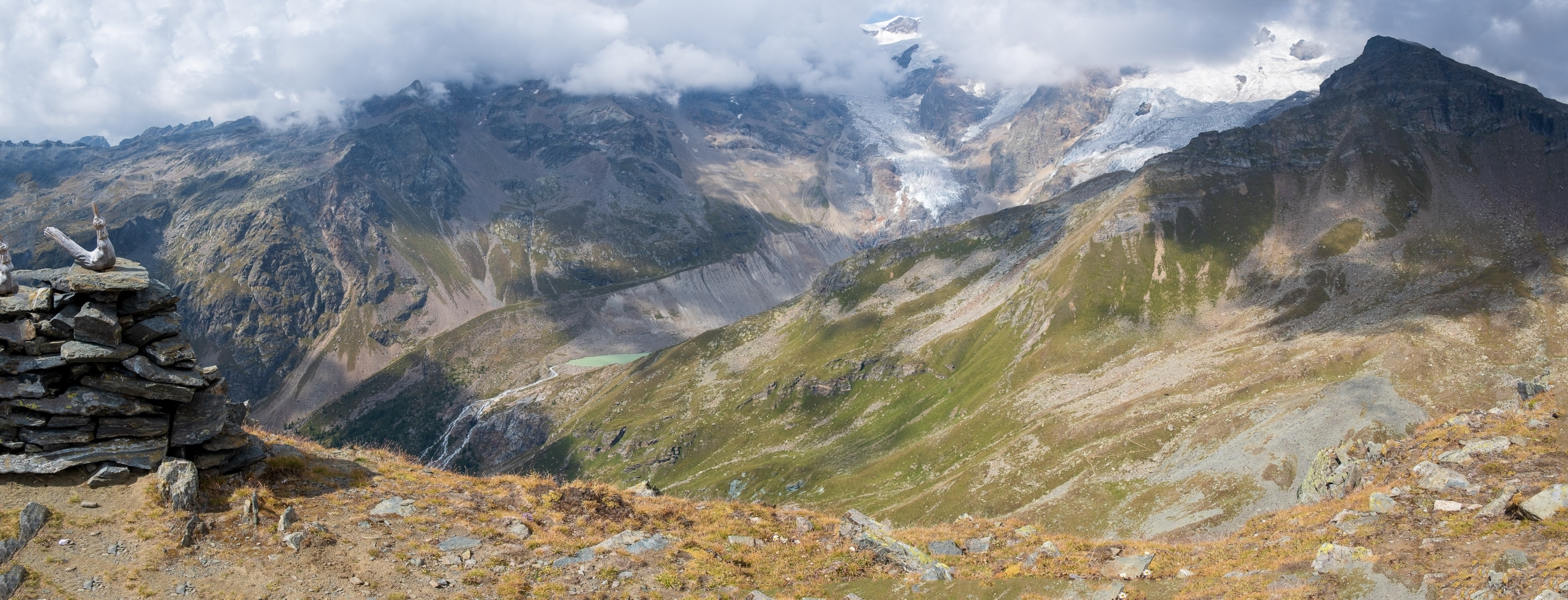
At this point, trail 7B, to reach Punta Telcio (which is about a kilometer as the crow flies west), would dictate momentarily lowering in elevation toward Green Lake (2634m) and then resuming climbing.

Green Lake, as seen from the Blue Lake elevation
Instead, when I go to Punta Telcio, I always prefer to continue along Blue Lake, pointing west and climbing, never losing altitude. There are faint traces of an unnamed trail that you can follow until, at an elevation of about 2740 meters, you rejoin trail 7B coming in from the left. At this point Punta Telcio is finally visible in the distance.

The ridge with Punta Telcio: to the right, the col which is reached from the traverse
The trail at this point turns to the northeast, traversing a long stony traverse (annoying because it is quite uneven), until it reaches the final ridge on a small pass at 2769 meters where you can finally cast an eye across, along the Salza pass, beyond which Alta Luce stands out.

Alta Luce from the pass for Punta Telcio
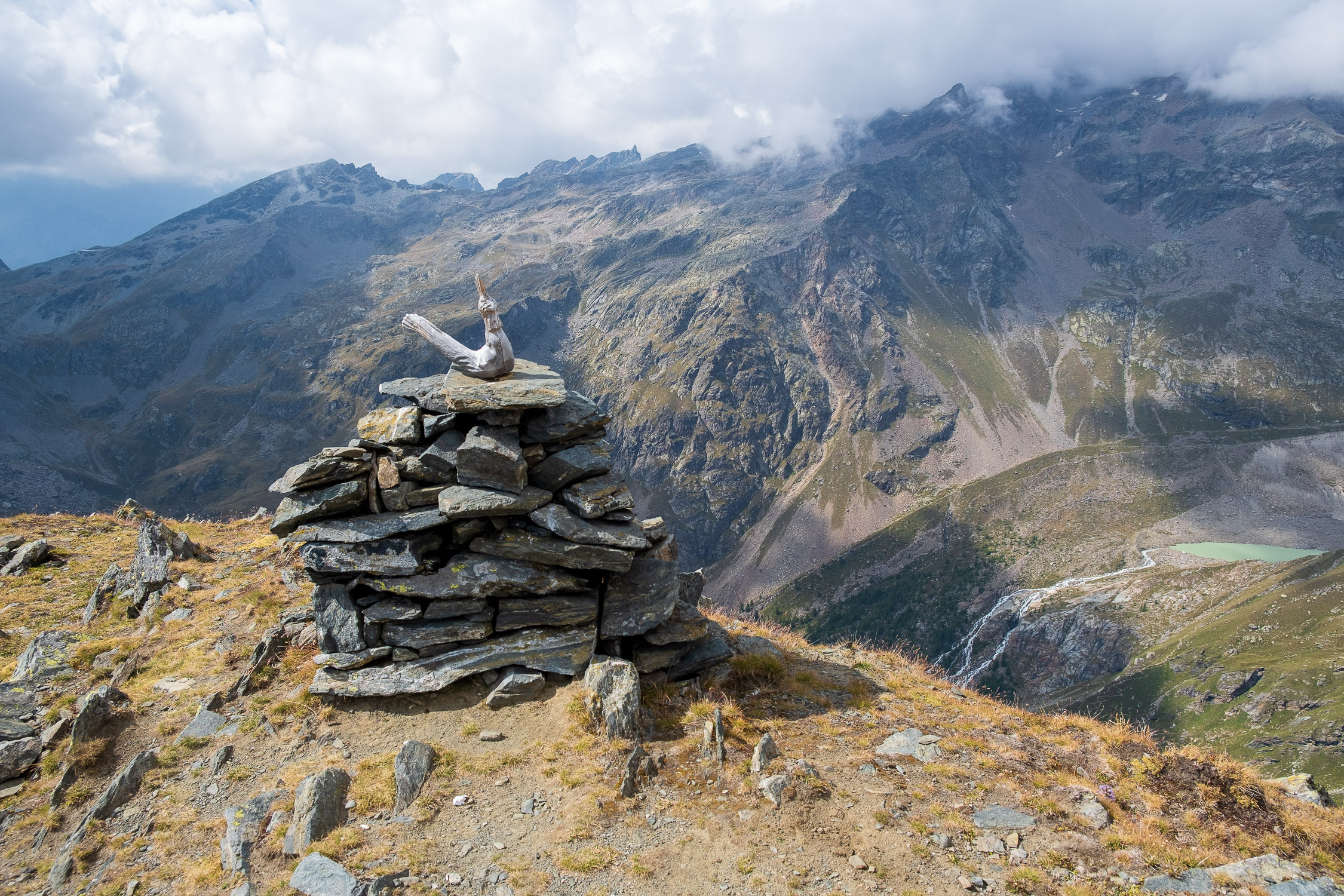
Once the pass is reached, Punta Telcio and the cockerel on the summit cairn are quickly reached by climbing the simple grassy ridge, staying to the left (to the right the mountain drops steeply).
Overview from Punta Telcio northward
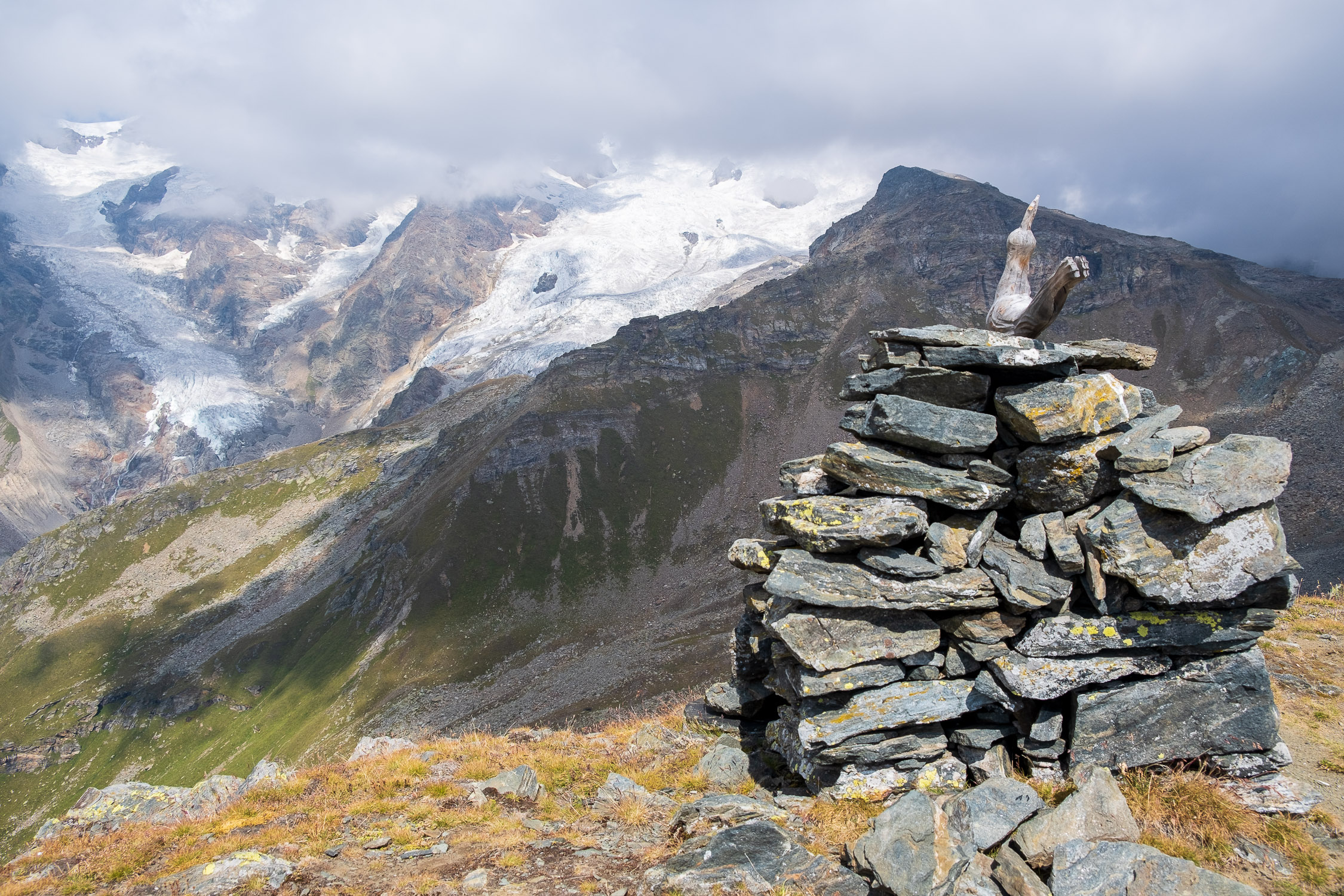
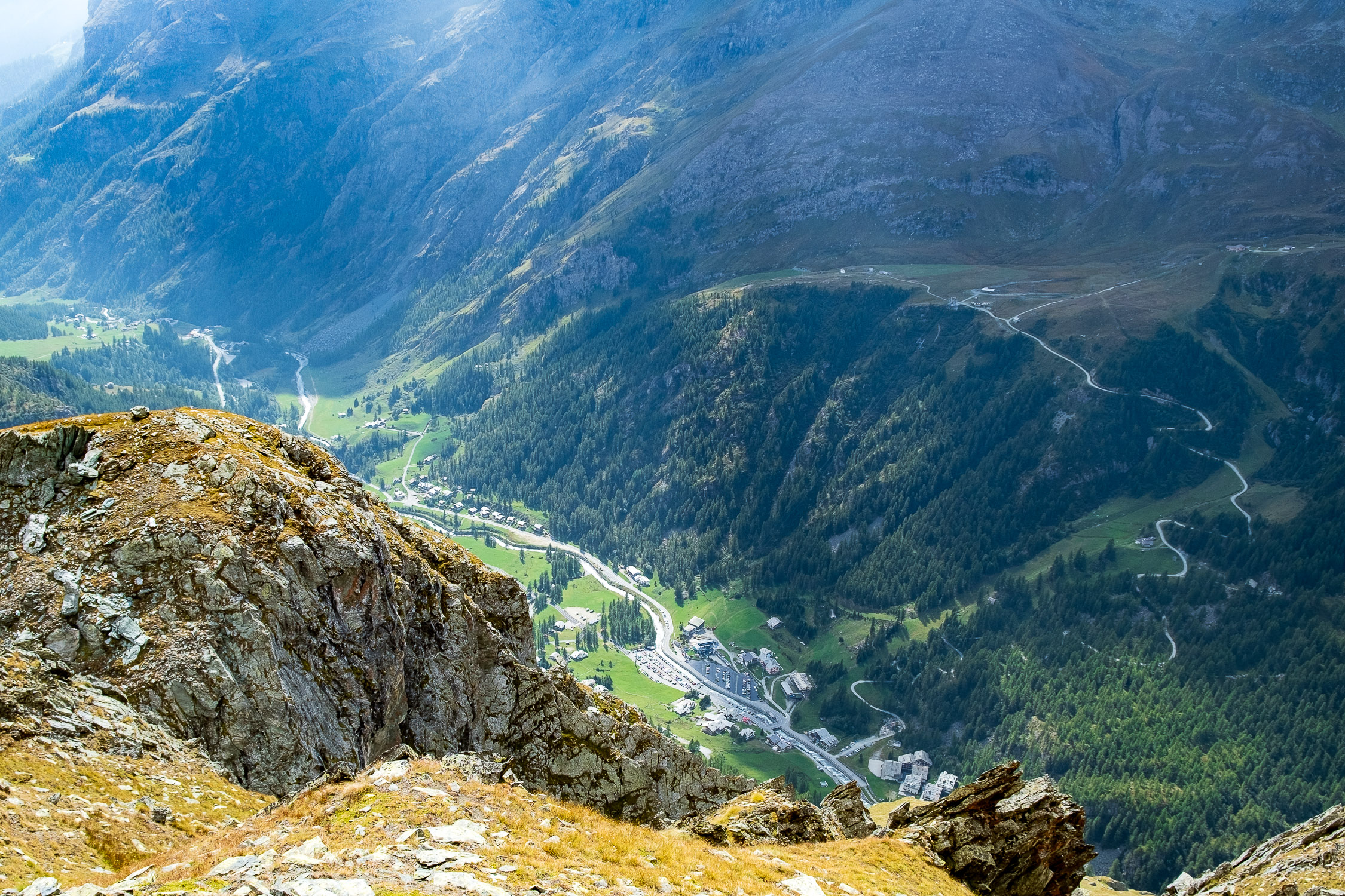
From the summit you can’t see (thankfully) the avalanche barriers; on the other hand, you’re really spoiled for choice: the 4000-meter peaks of Monte Rosa, the sources of the Lys, Testa Grigia, the Rothorn, Punta di Netscio, Punta Ciampono, Mont Nery, Stafal: on clear days everything is perfectly visible, thanks to the very central location of this, unfortunately, rather underrated peak.
Overview from Punta Telcio southward
In this 3D image the highlights of the last section of the route:


")
")
")


