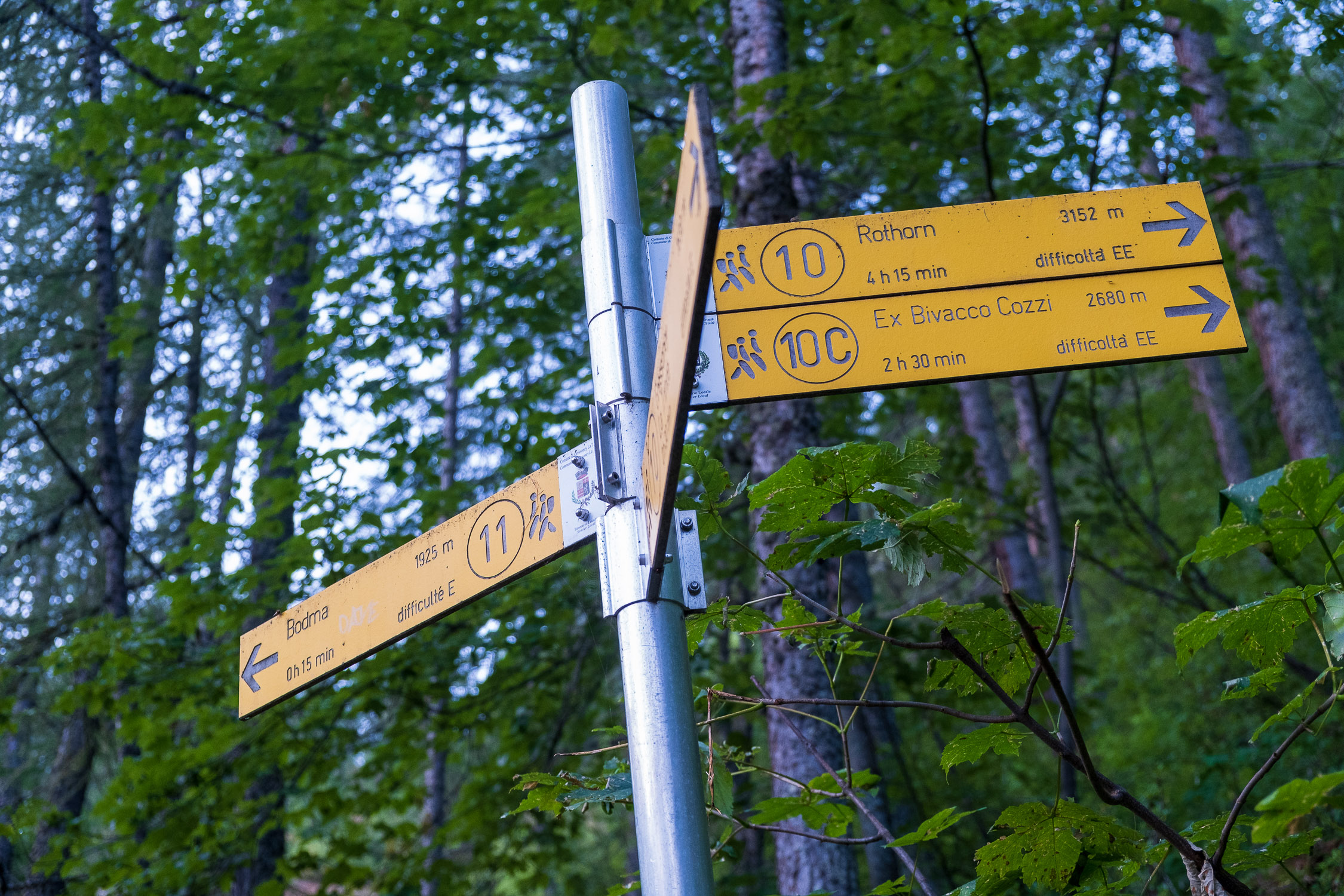
Piccolo Rothorn (3014m), trail 10
From Gressoney-La-Trinité to the Piccolo Rothorn
(you can go on to the Rothorn)
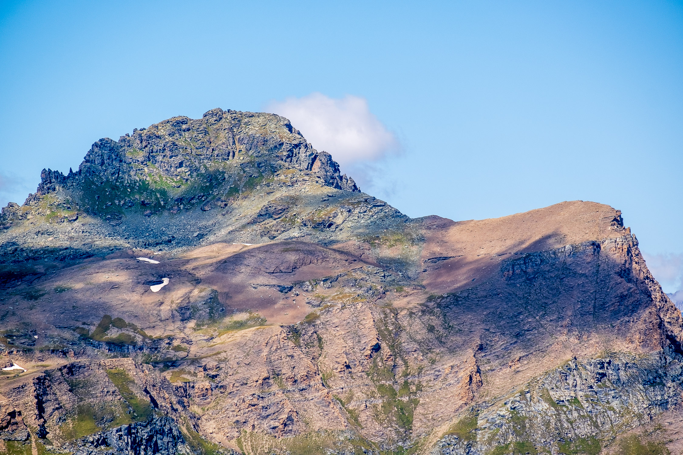
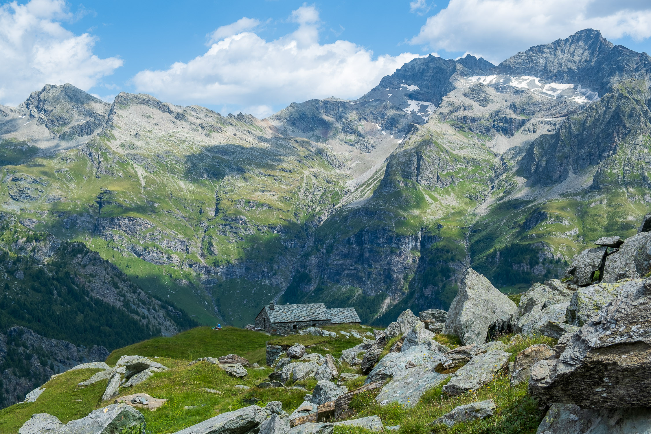
Rothorn and Piccolo Rothorn from the Splimannsberg
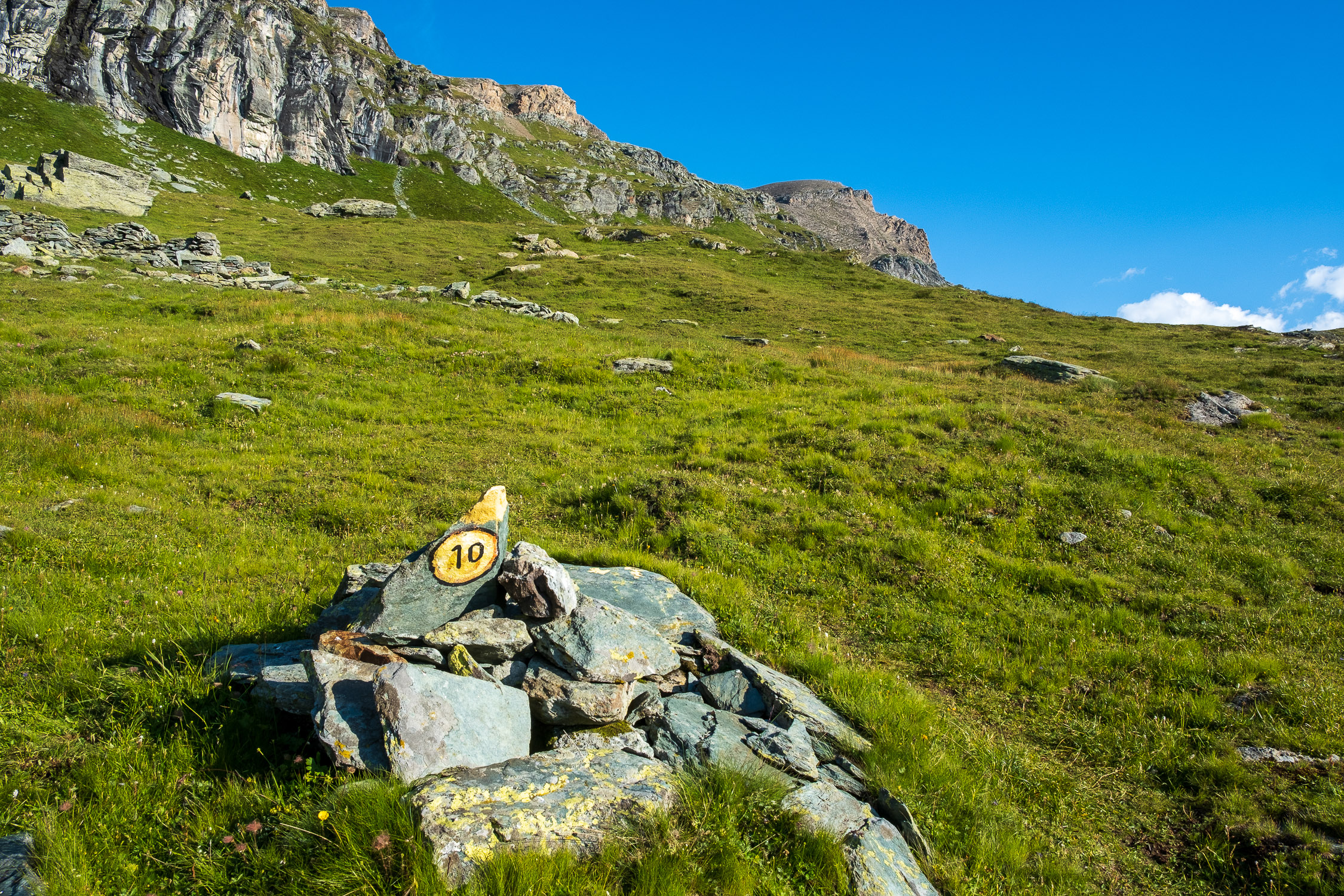
Trail 10 starts in Gressoney-La-Trinité and arrives at Piccolo Rothorn (3014m). It is 5395m long and the total positive elevation gain is 1403m.
The approximate time for the ascent is 4h11. The trail is rated EE difficulty.
WARNING: From August 1, 2023 until a date to be determined, Trail 10 is closed from Gressoney-La-Trinité to the junction with Trail 10B. If you want to reach this destination, take trail 10B that starts just before the tunnel that enters the main town of Gressoney-La-Trinité: follow it until it crosses trail 10 and then continue north.
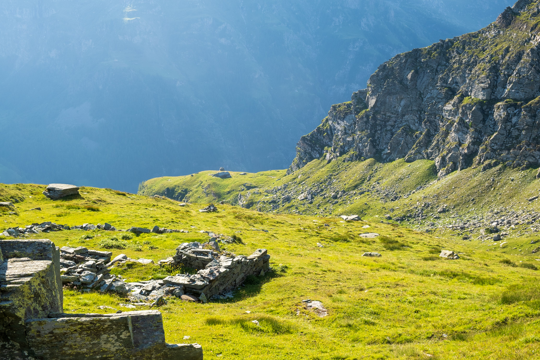
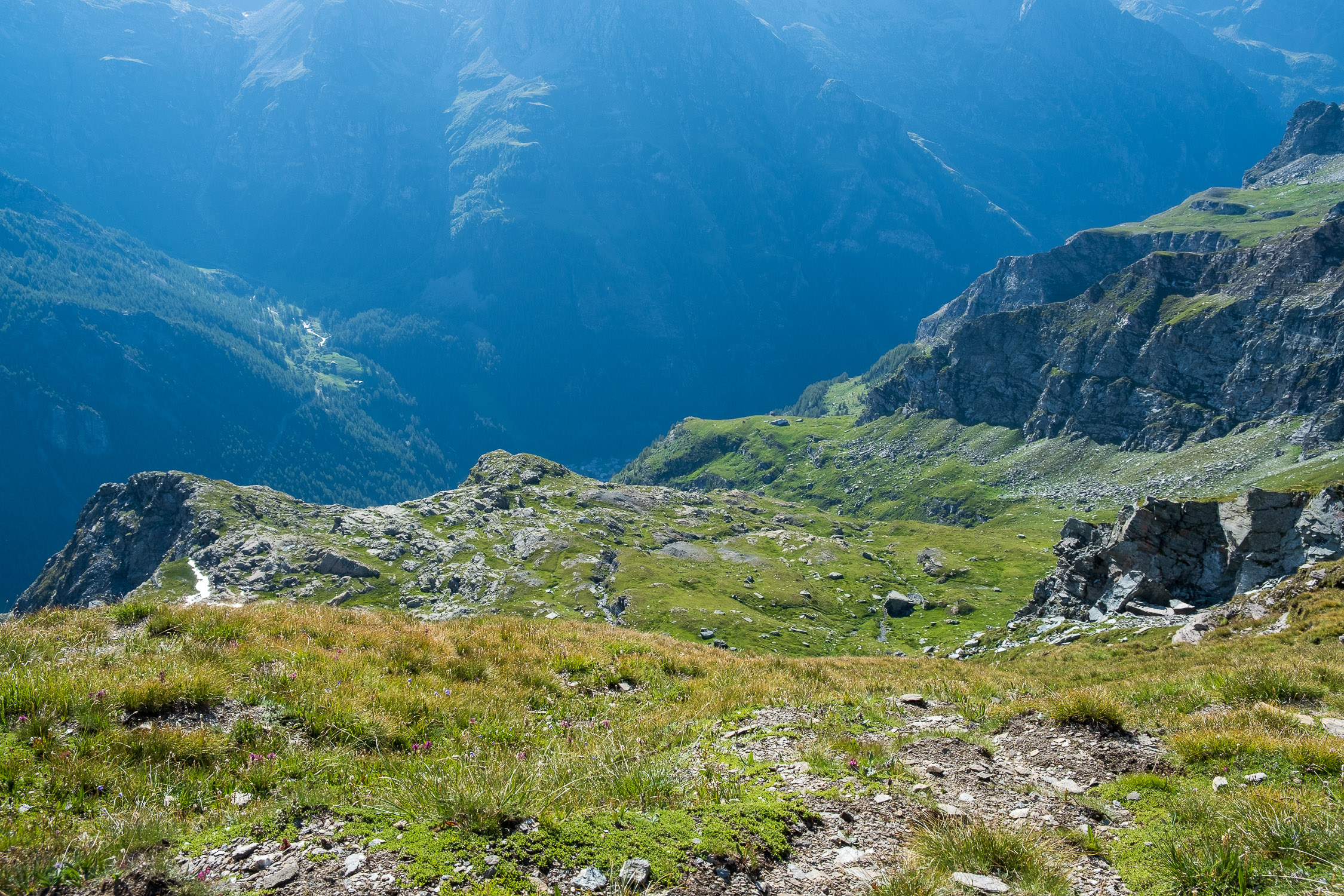
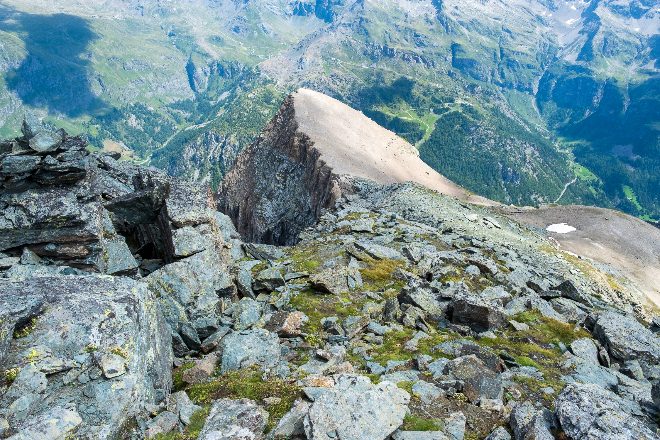
The Little Rothorn is a mountain that towers above Stafal: from below it looks scary, due to the sheer rock faces. Instead, the upper part presents itself as a harmless hill, which is reached without any problem from a barren plateau that on the opposite side is dominated by the silhouette of Testa Grigia.
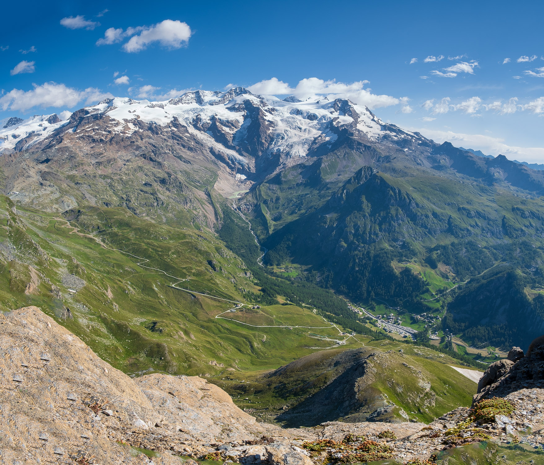
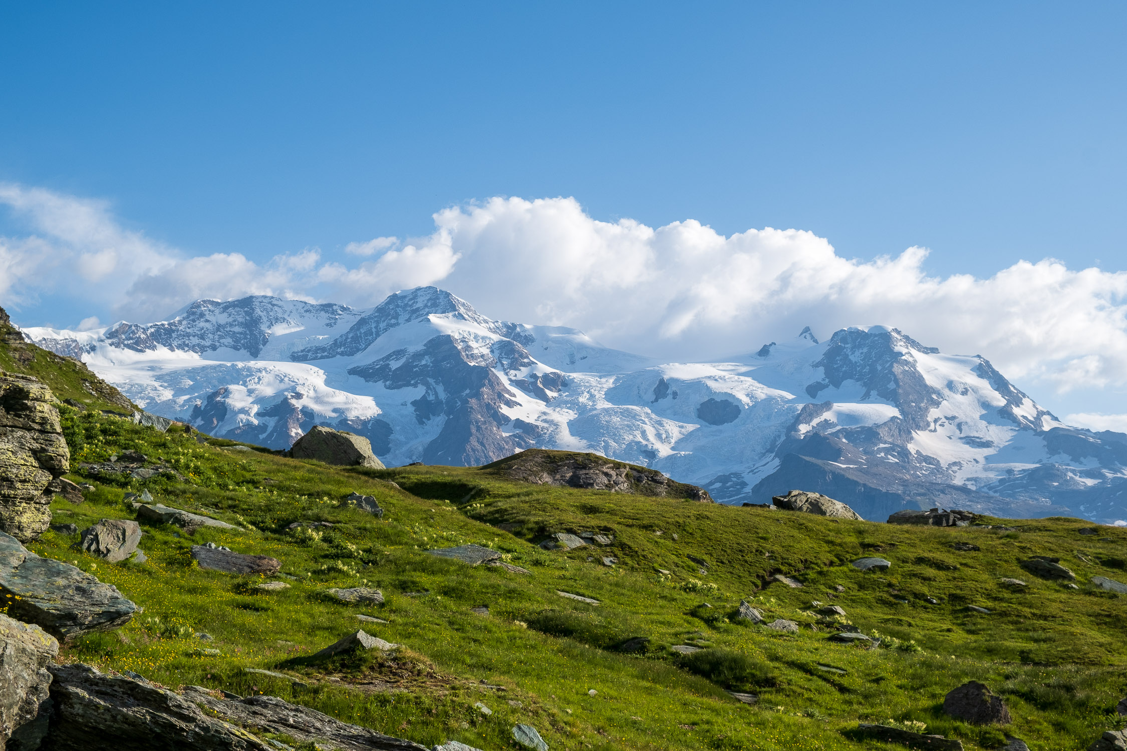
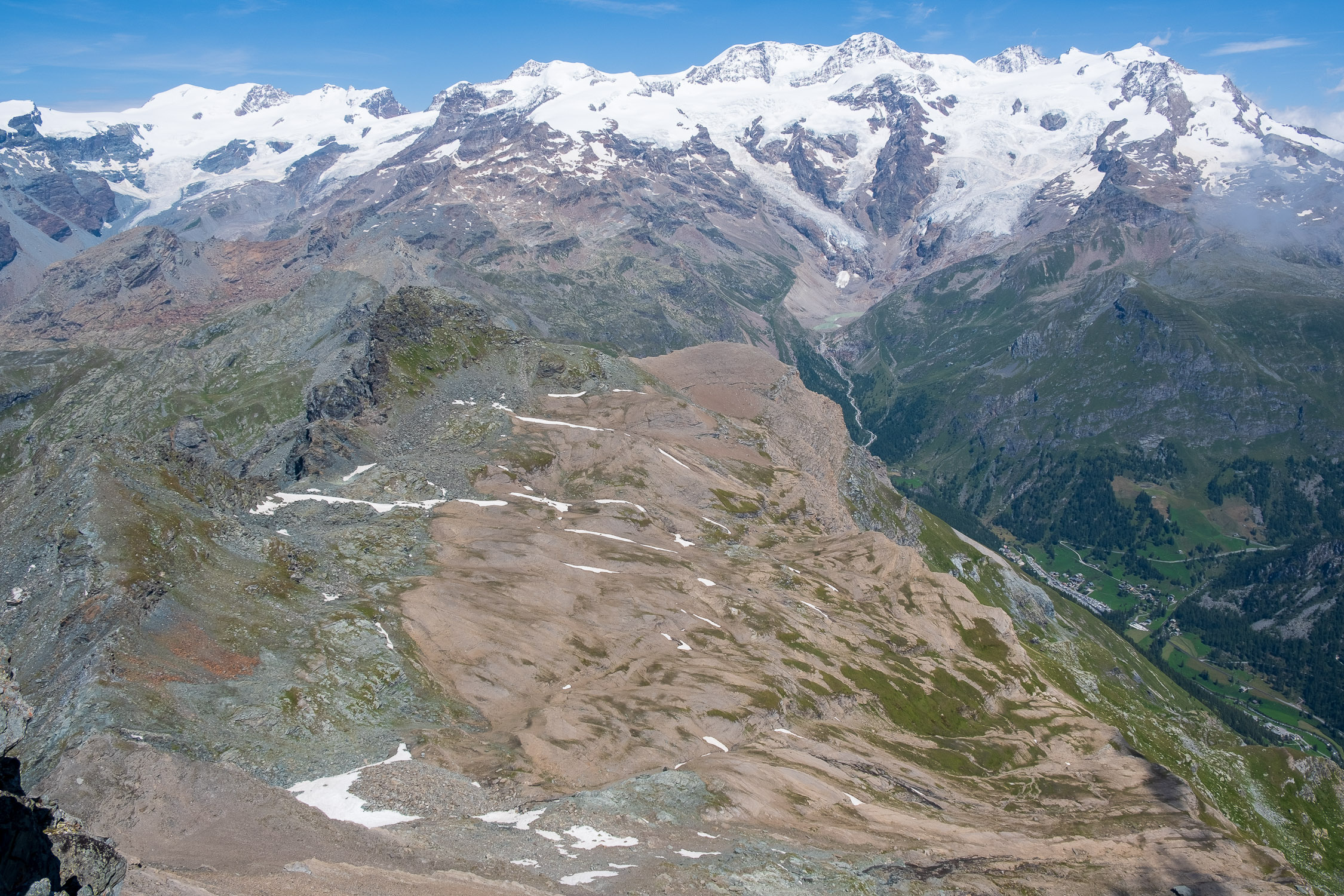
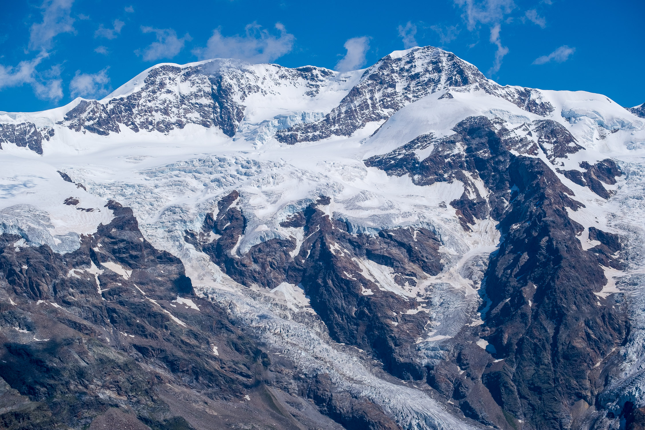
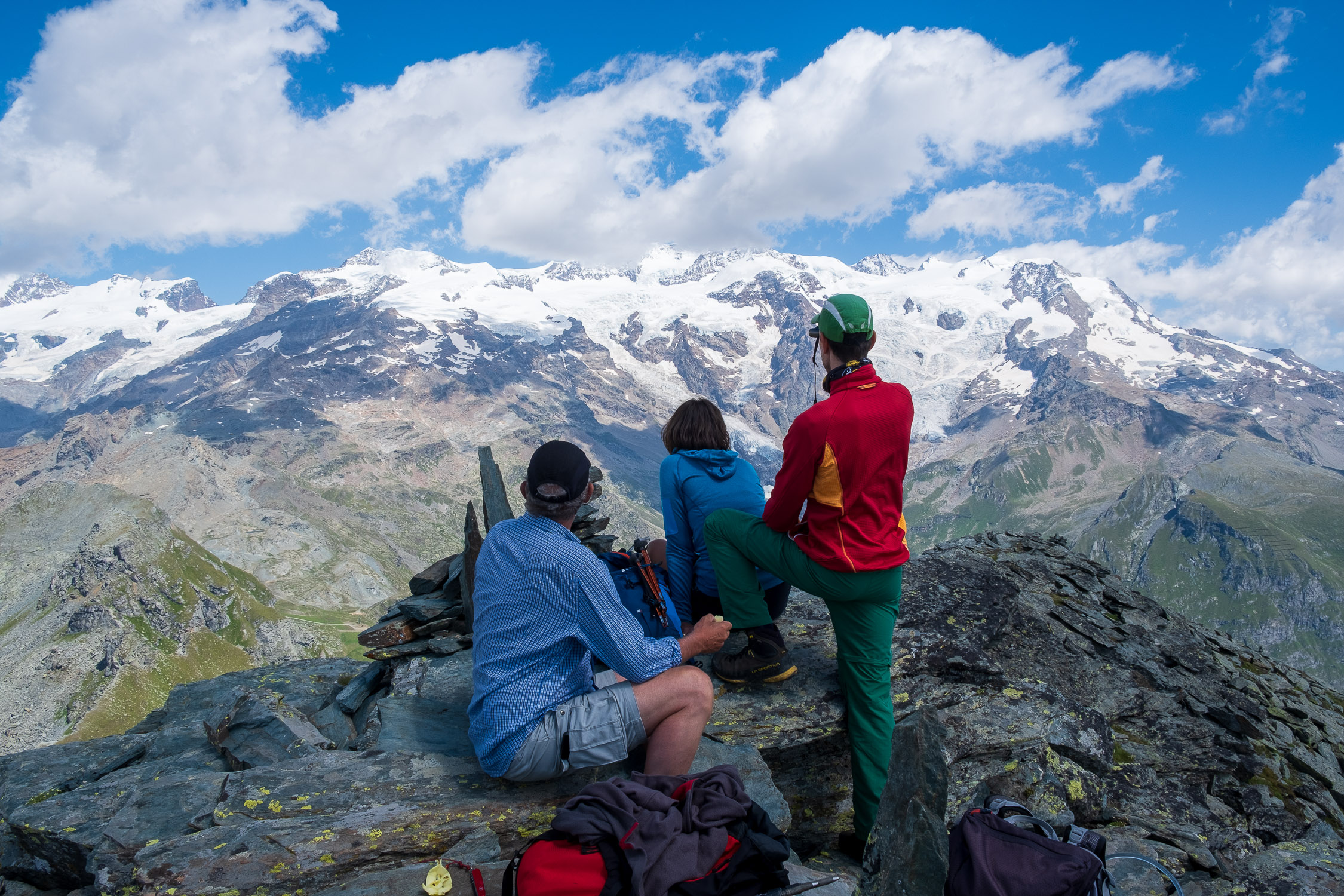
The view of Monte Rosa from the Piccolo Rothorn
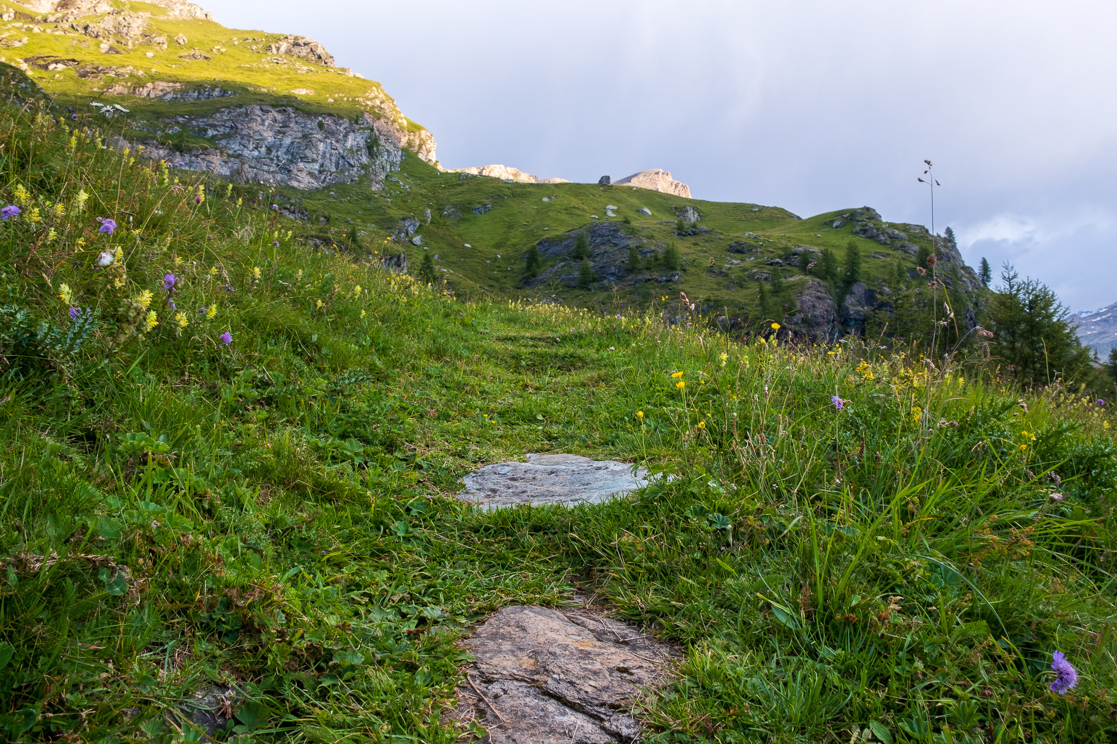
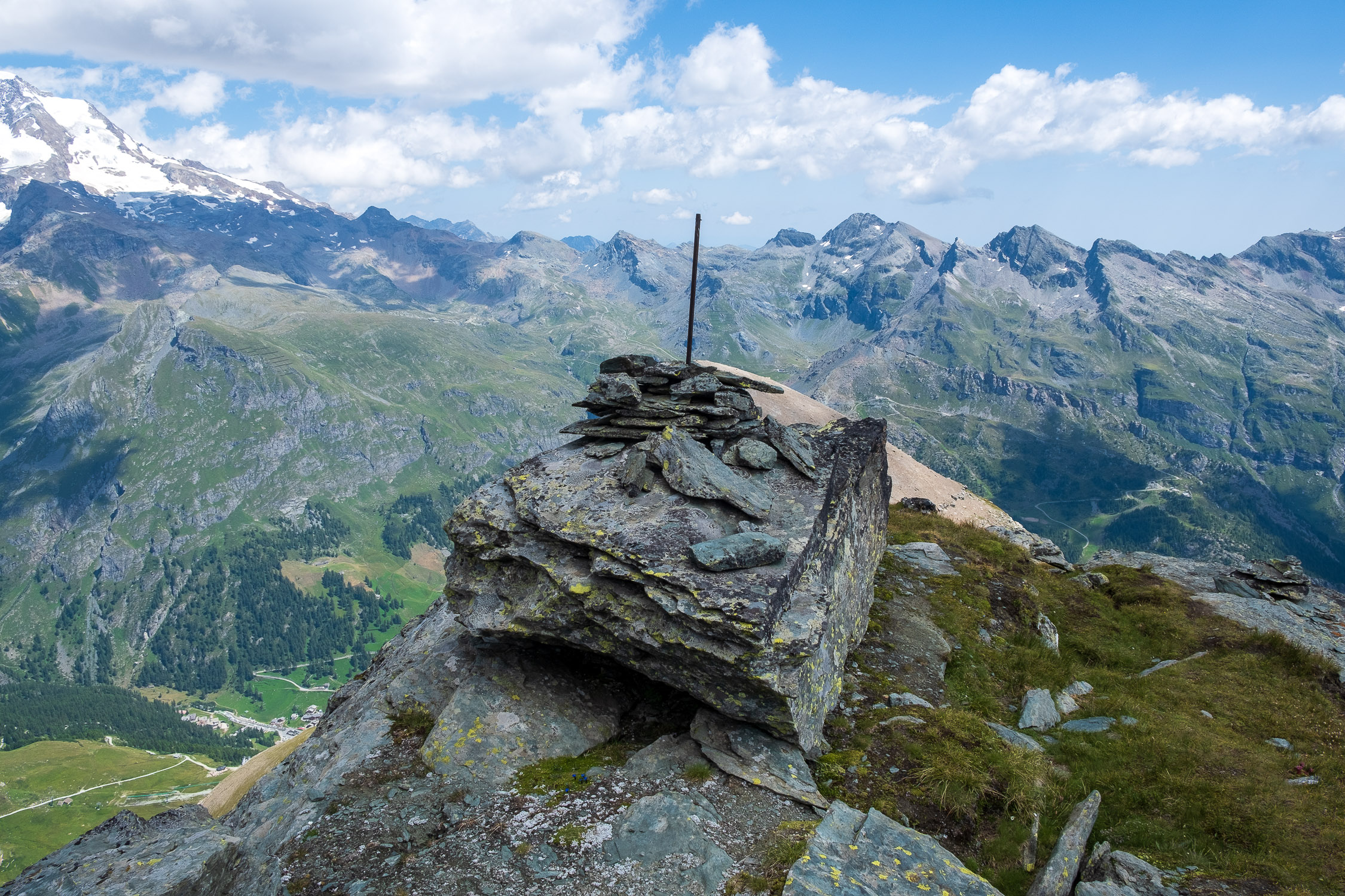
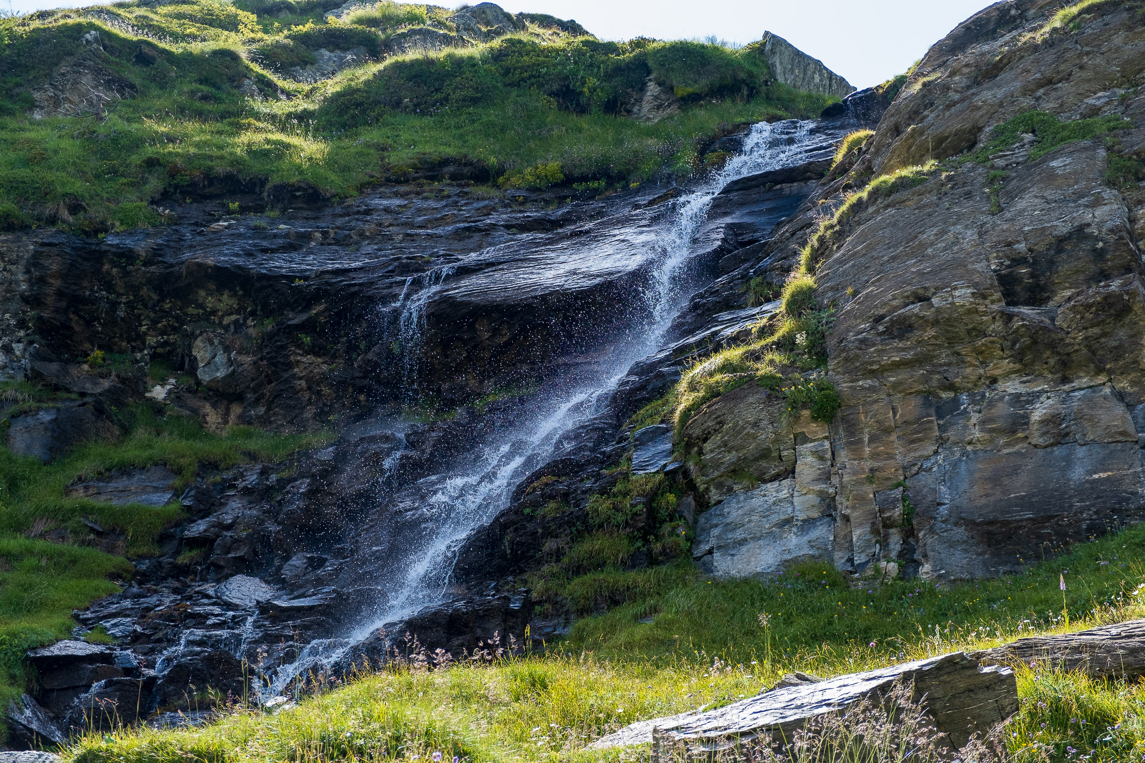
To reach the small Rothorn, the path is almost always well marked: below the summit, the vast plateau that you cross is completely devoid of vegetation, so there is no real path but a series of cairns and signs on rock that you can follow without problems. The only technical difficulty is a very short section (about twenty meters) equipped with a metal cable, not particularly worrying, that you face just before climbing to the final plateau.
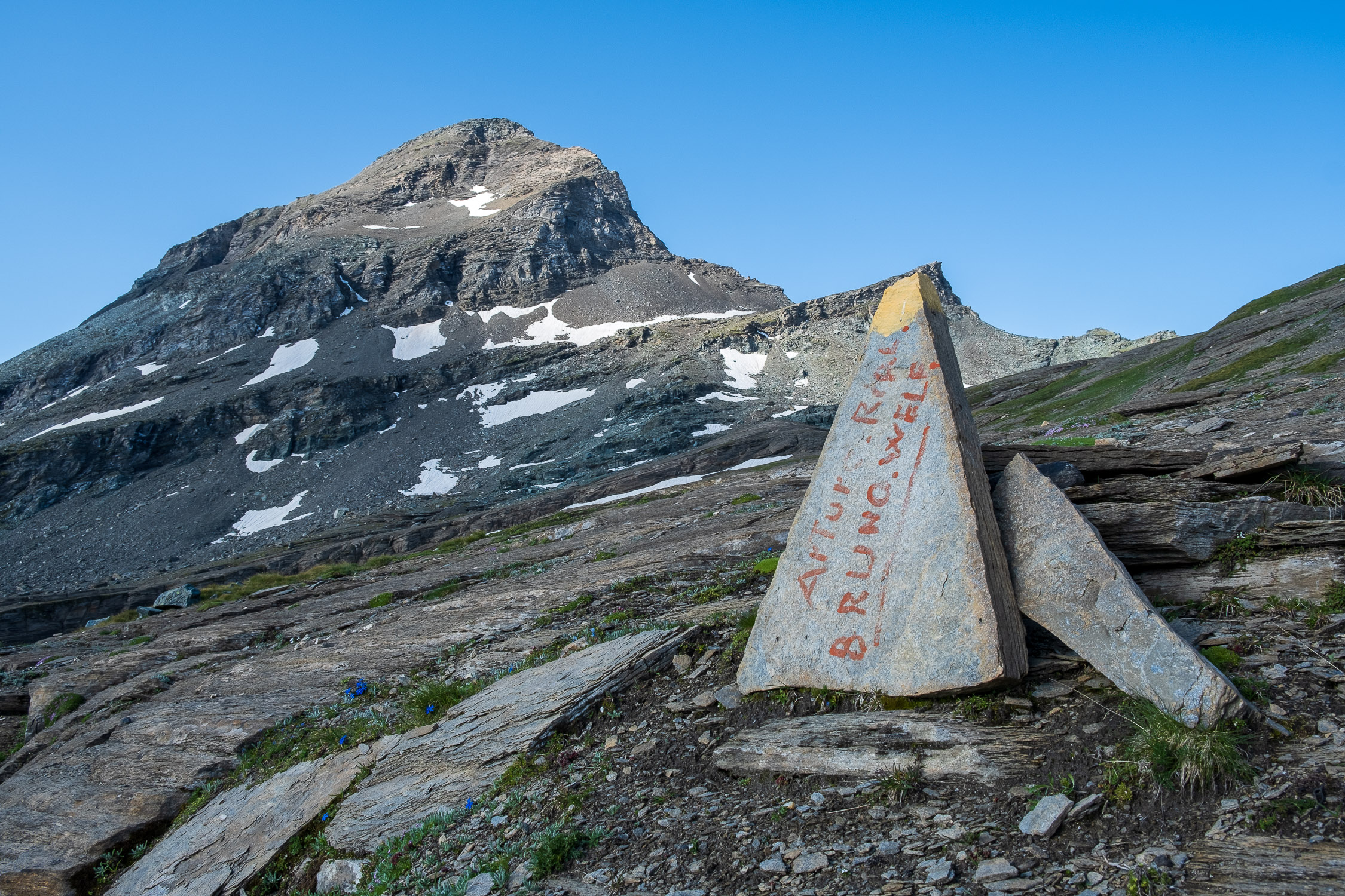
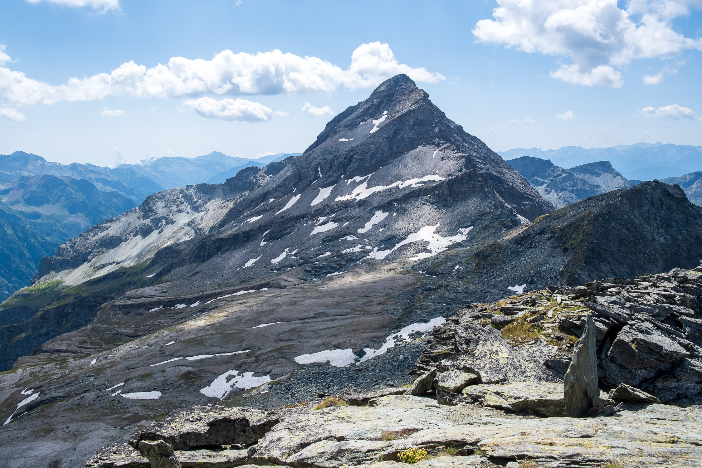
Once you reach the Piccolo Rothorn, if you are an expert hiker, you can continue along the rocky ridge until you reach the very nearby Rothorn (3152m, about 30 minutes from the Piccolo Rothorn), whose first ascent (17 August 1789) is officially attributed to the man considered the father of mountaineering: Horace-Bénédict de Saussure (even if in reality he did nothing more than follow existing hunting paths, marked out by a prelate from Gressoney).
There is no trail: one has to scout the route by following several cairns of stone that are fairly easily spotted. For this section, one needs to have what is called a “firm footing,” that is, not to be afraid of having to pass through slightly exposed points (not on vertiginous precipices, but on jumps of a dozen meters or so – certainly not harmless). There are also a couple of short (easy) passages where you have to hold on to rocks to proceed. It is certainly worth pushing up to the Rothorn: to the already extensive panorama is added the Ayas Valley side and all the distant peaks of the Aosta Valley.


 towers to the left.")

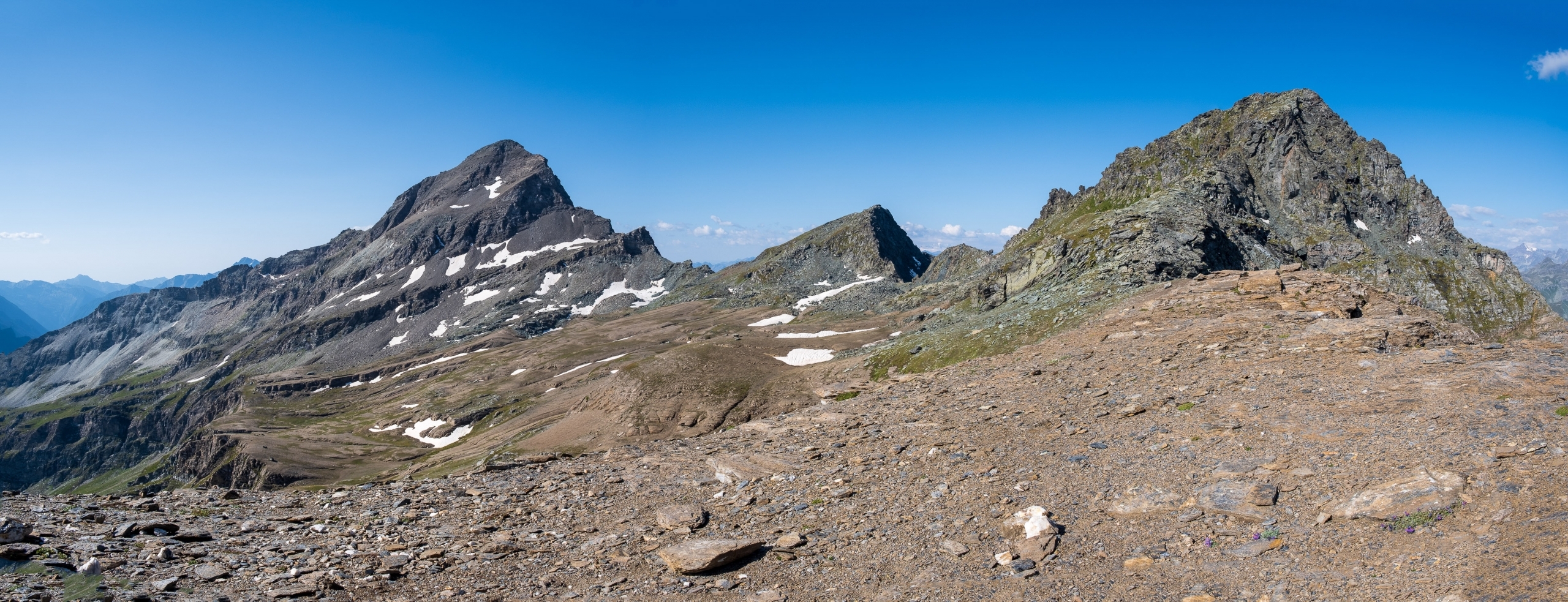
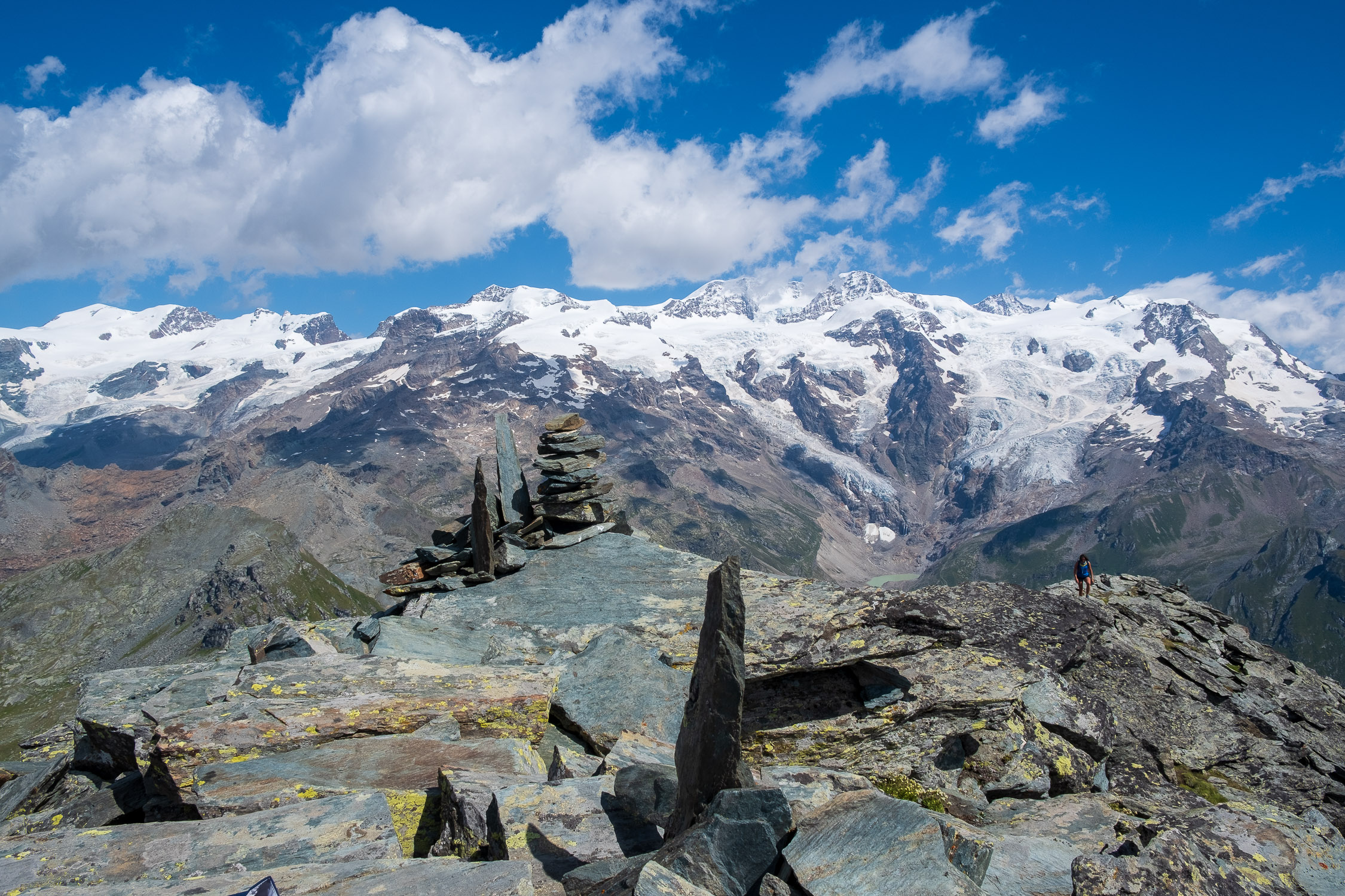
, on the right Piccolo Rothorn (3035m)")


, Bec Forcù (3106m), Rothorn (3152m)")


, Rothòre (3023m), Corno Horn (3018m) and Straling Peak (3115m)")

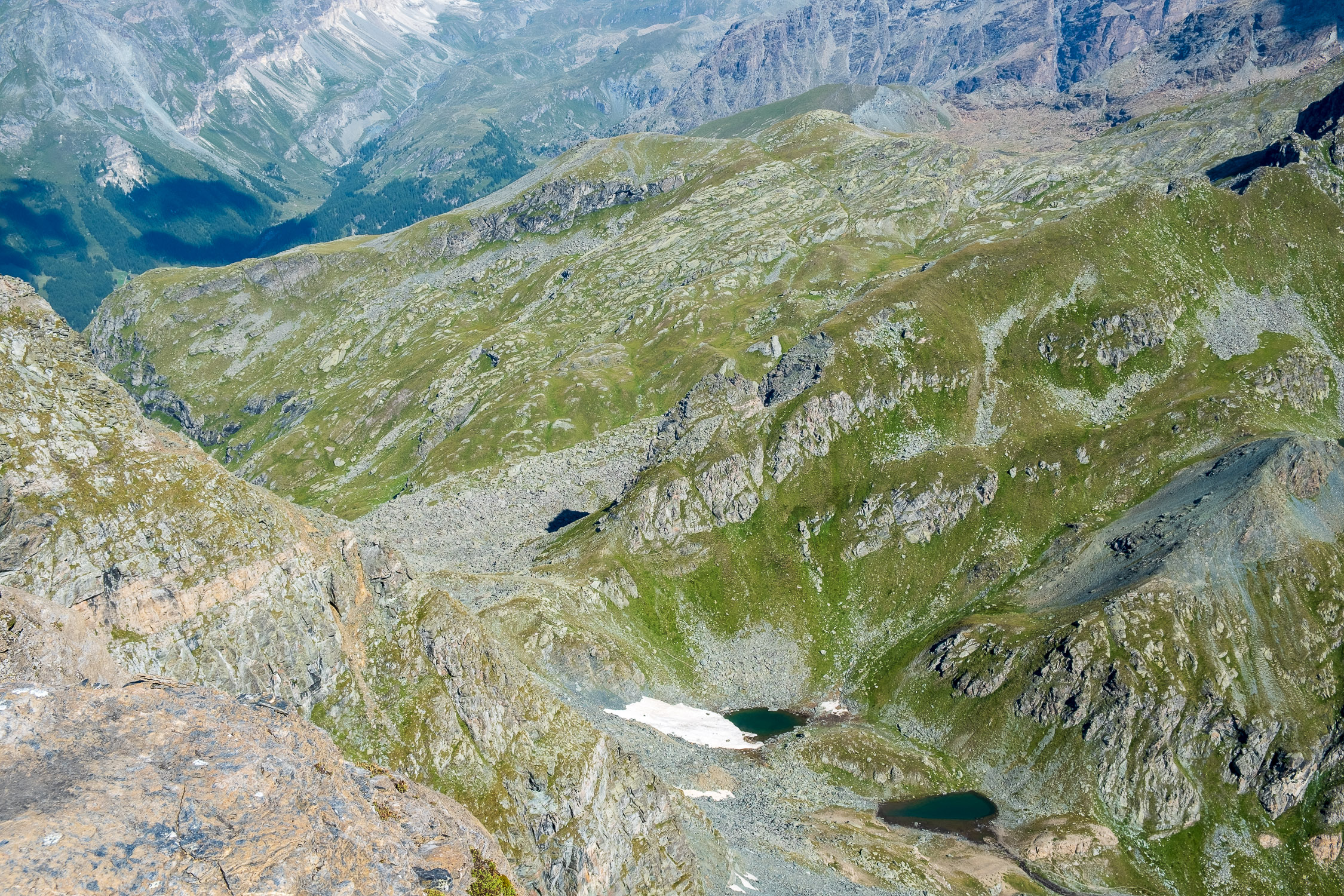
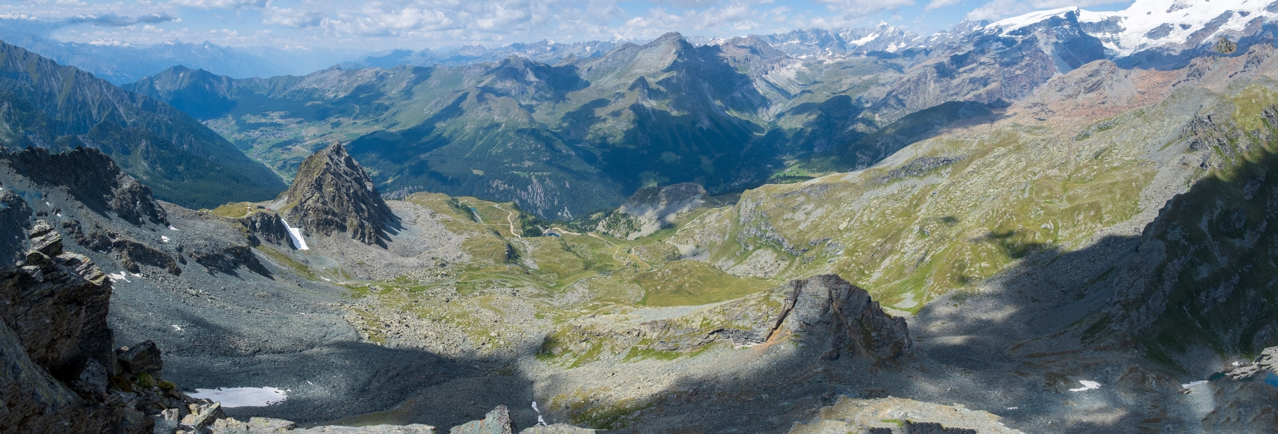
 on the desolate plateau. The trail descends to the left")


, Bec Forcù (3106m), Rothorn (3152m)")


