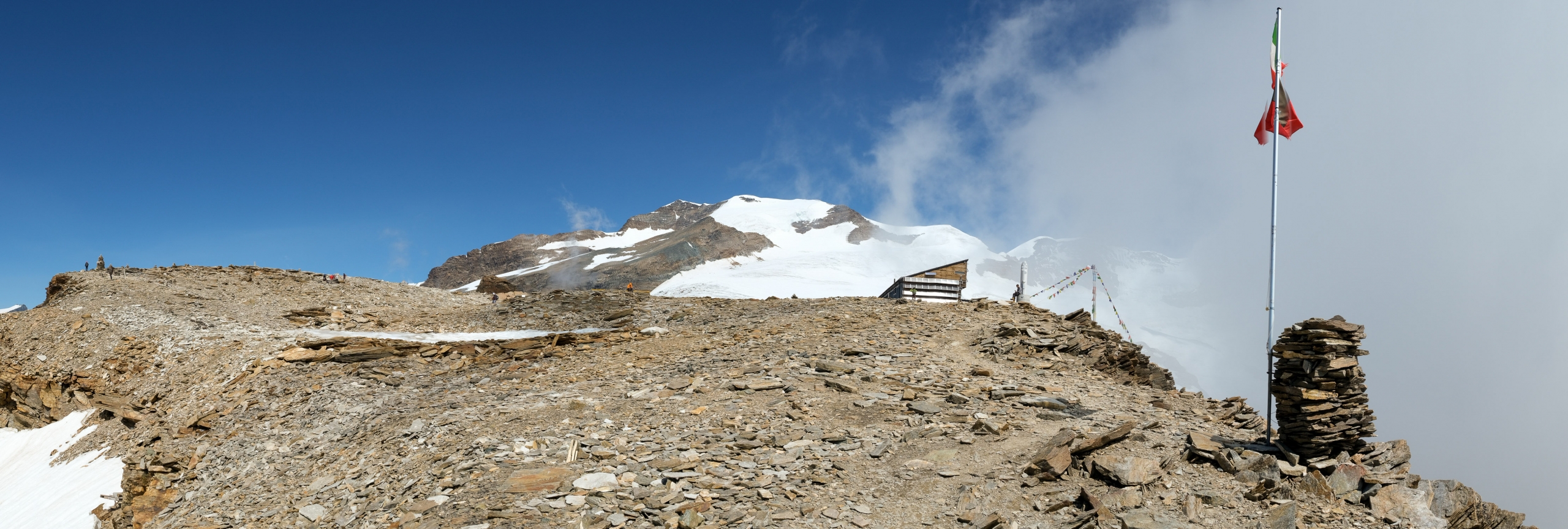
Quintino Sella Refuge (3591m), trail 9
from Biel to the Quintino Sella Refuge

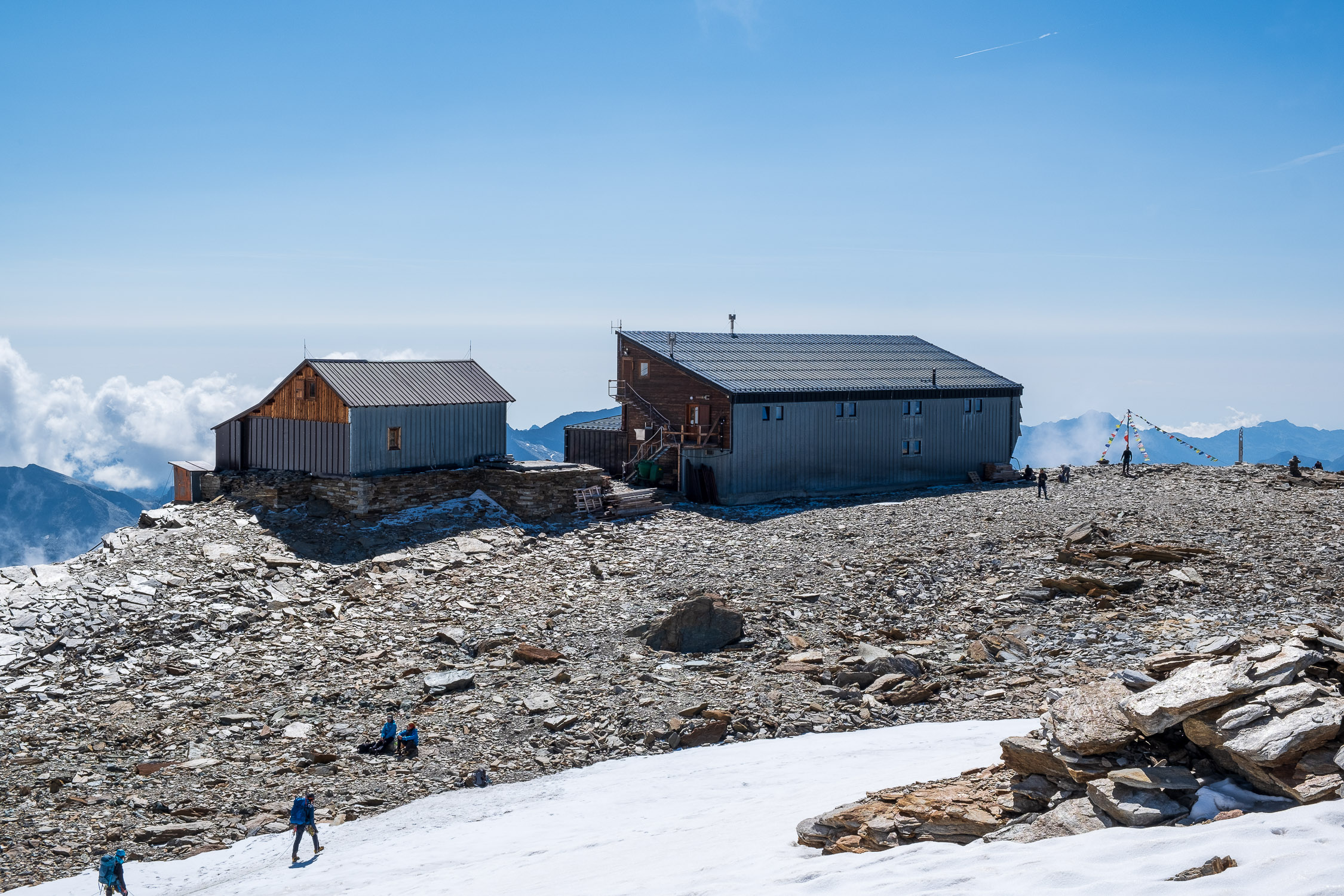
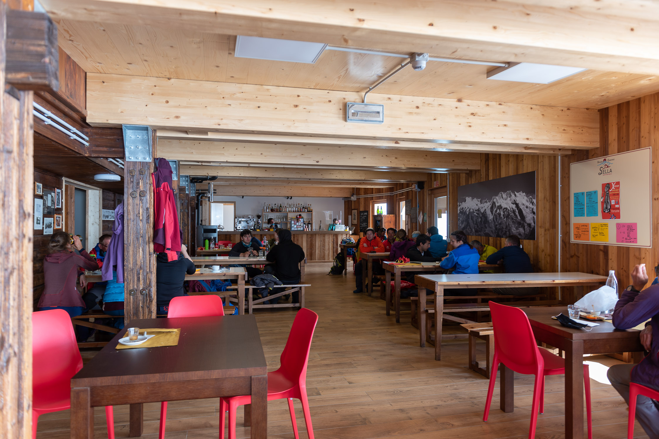
Close-up of the Quintino Sella Refuge
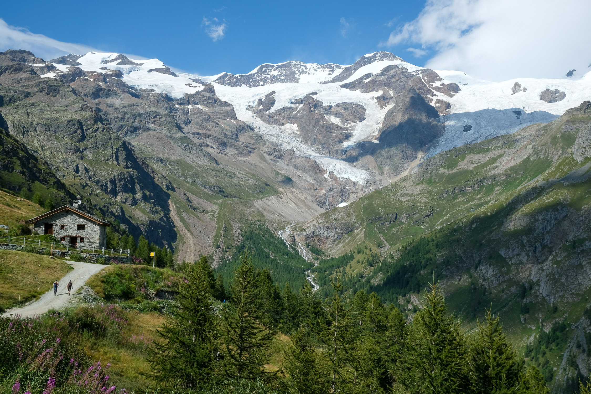
Trail 9 starts from Biel (1780m), a hamlet just below Stafal, and arrives at the Quintino Sella Refuge (3591m). It is 9429m long and the total positive elevation gain is 1837m.
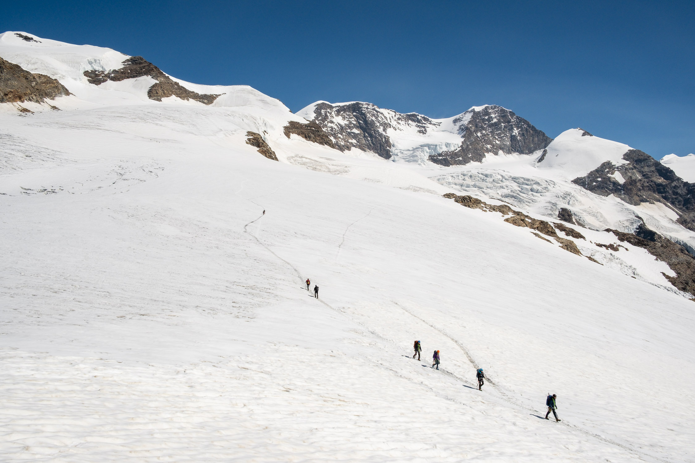
The approximate time for the climb is 5h29. The trail is classified as being of EEA difficulty.
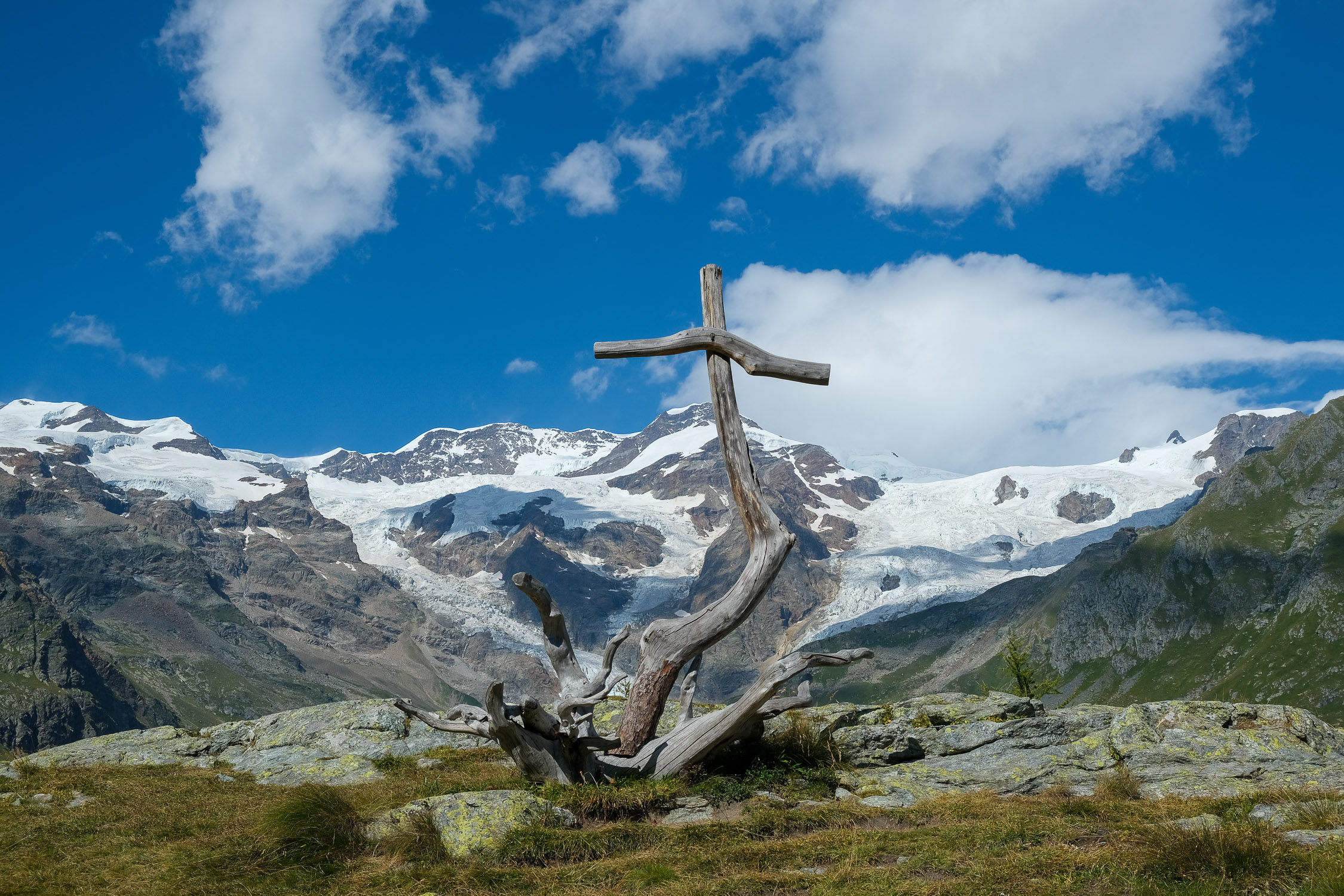
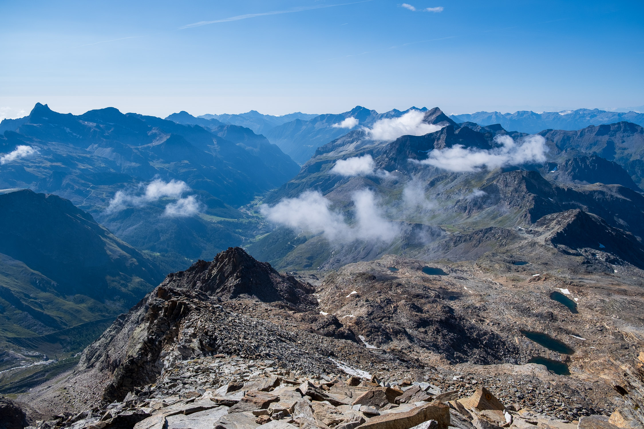
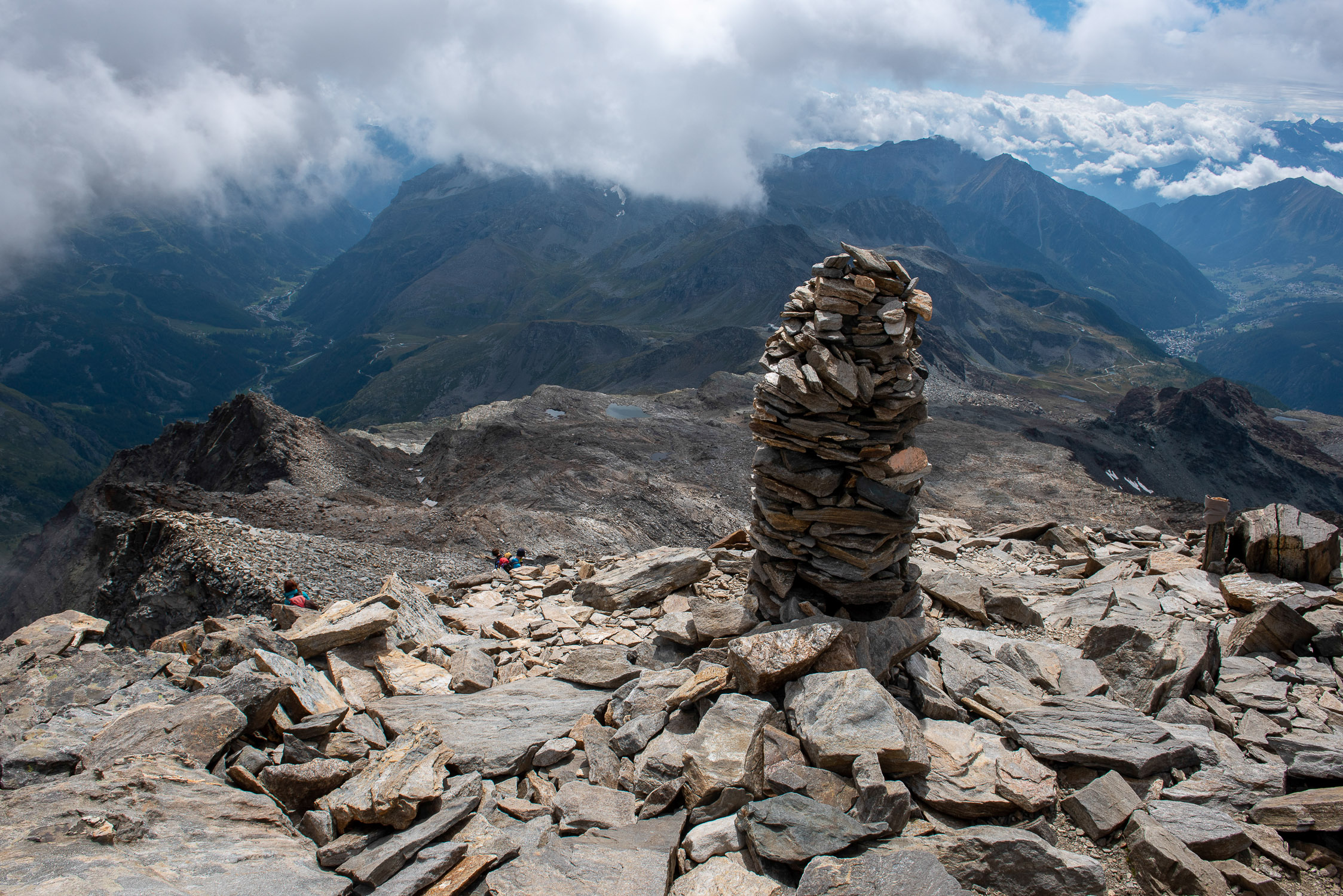
The Quintino Sella Refuge sits on a rocky plateau at the edge of the Felik Glacier: this is where all the ropes for the western 4,000-meter peaks of the Rosa range, e.g., the Castor and the Lyskamm, depart from. The place is truly spectacular, one is in the immediate presence of the high mountains: for those who are not used to it, it is certainly a thrill. Note that the food at the hut is great (the homemade pasta is outstanding): leave the sandwiches at home for this hike!
Behind the new building (built in 1981, last expansion in 2021) is the old Quintino Sella hut (built in 1907, moved and expanded several times in subsequent years), currently used as a winter bivouac.
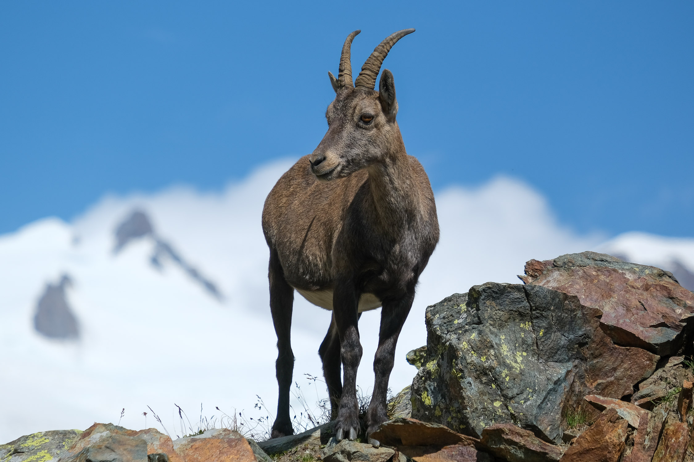
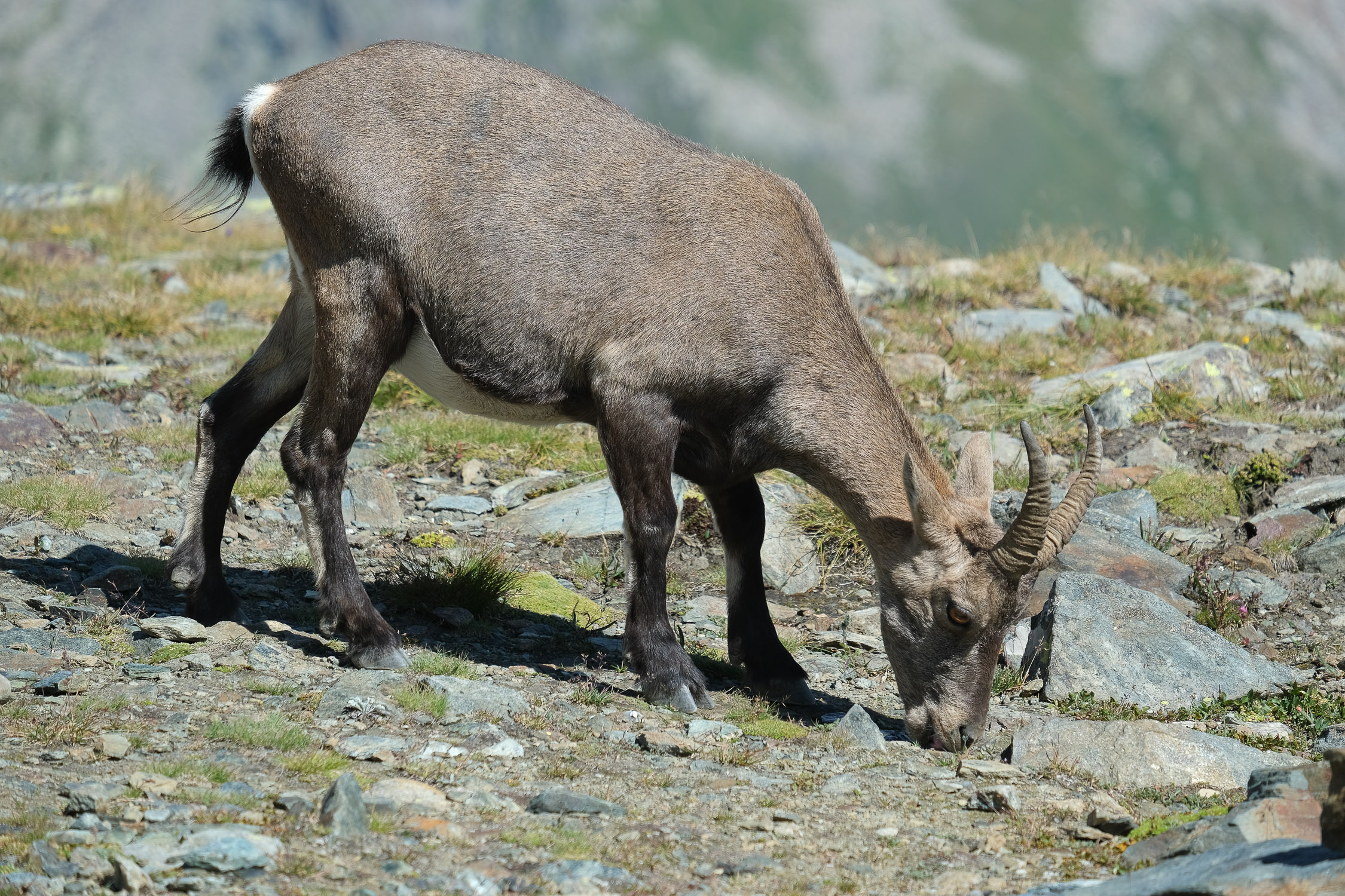
Encounters with isolated ibex, accustomed to the constant passage of mountaineers and therefore easily photographed, are frequent along the route.
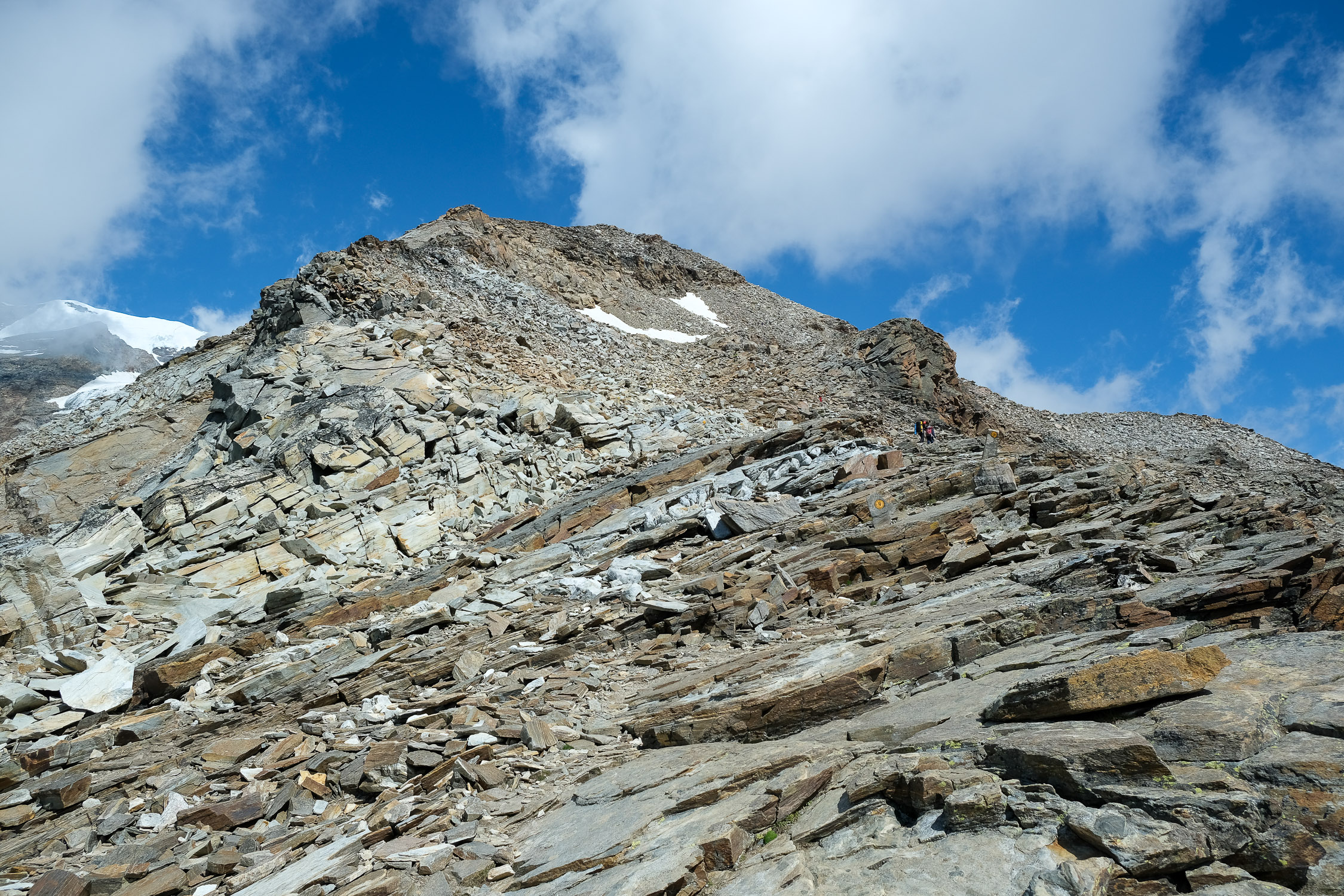
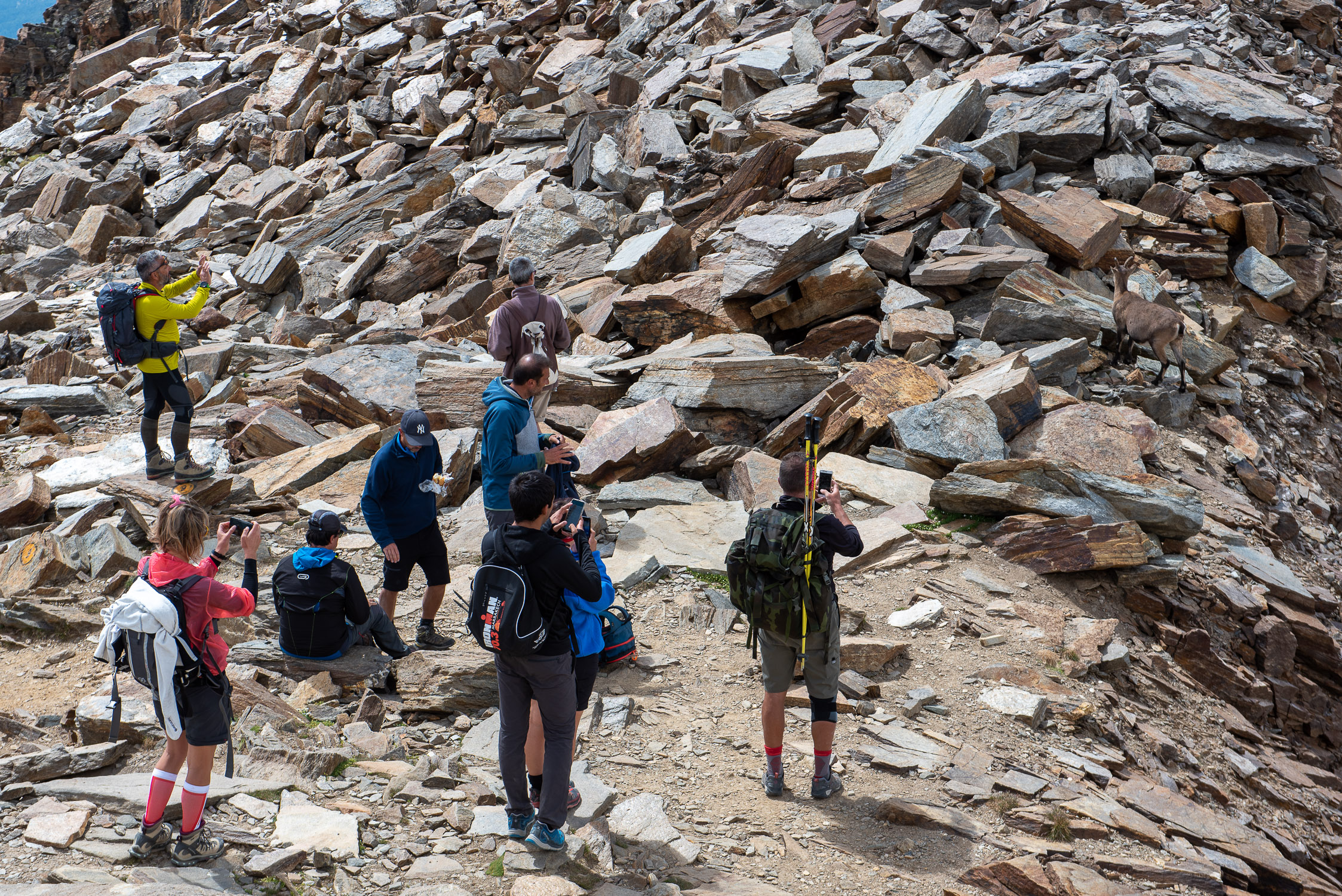
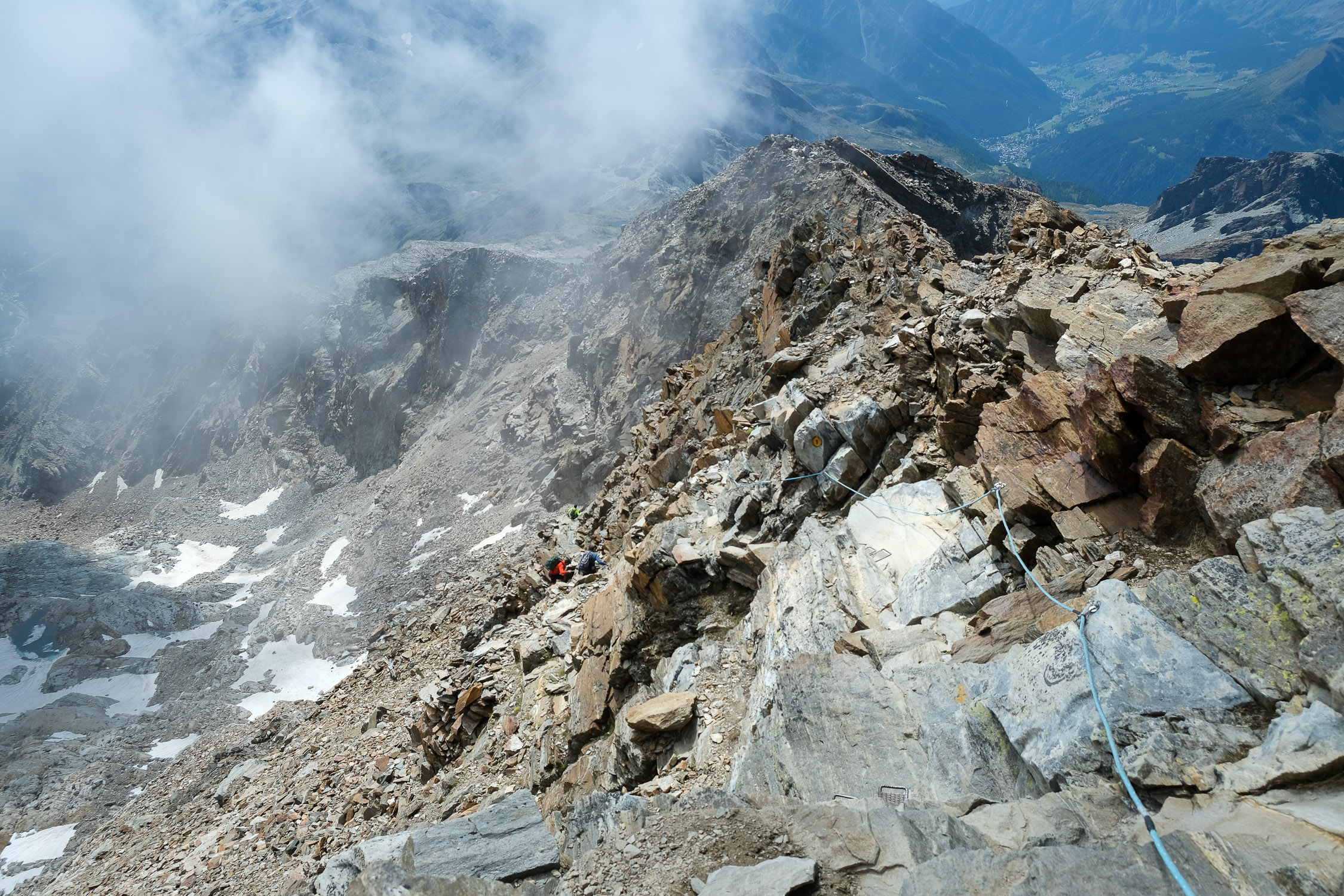
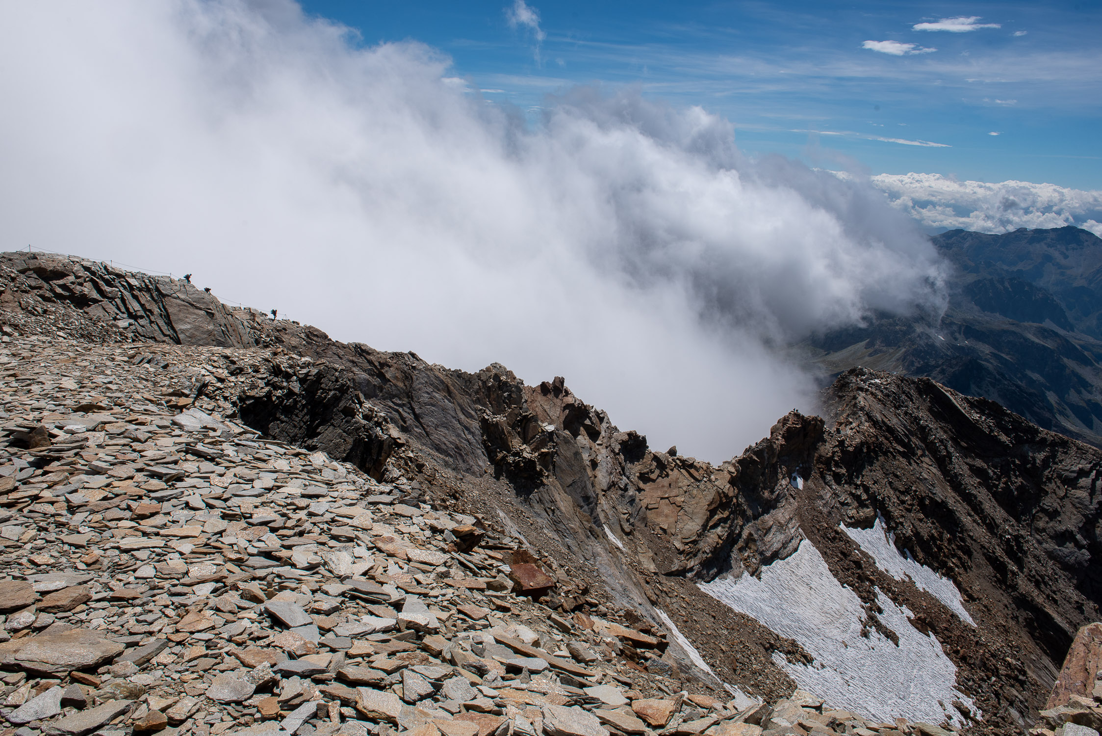
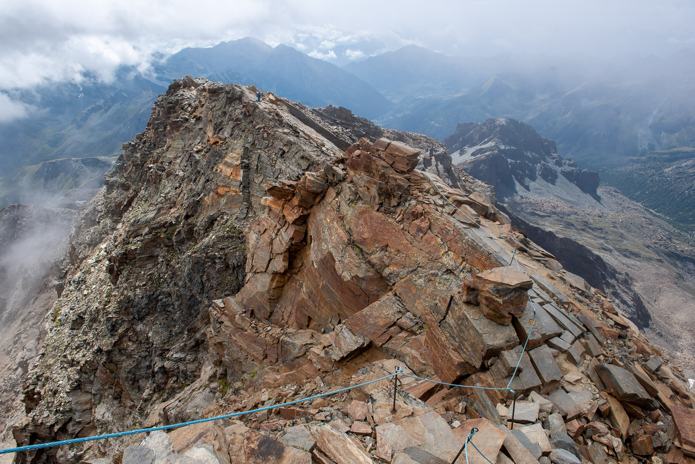
Caution: the trail is technically quite challenging in the final part (not surprisingly, it is rated EEA) due to the long equipped section, which is very often exposed and vertiginous. Strongly recommended helmet, because of the stones that those ahead of us might move-the trail is busy, and a pair of via ferrata gloves in order to cling to the steel cables and handles with confidence. Also recommended is a via ferrata harness for those who prefer to secure themselves and not take the slightest risk.
Don’t forget to bring appropriate clothing (including gloves) in your backpack to shelter from the frigid wind that is a certain presence at those altitudes, even in the middle of summer.
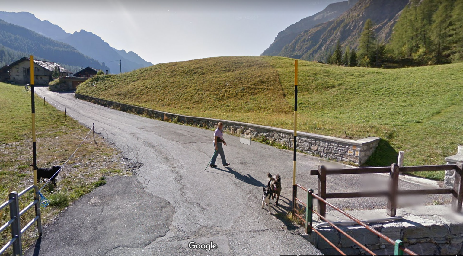
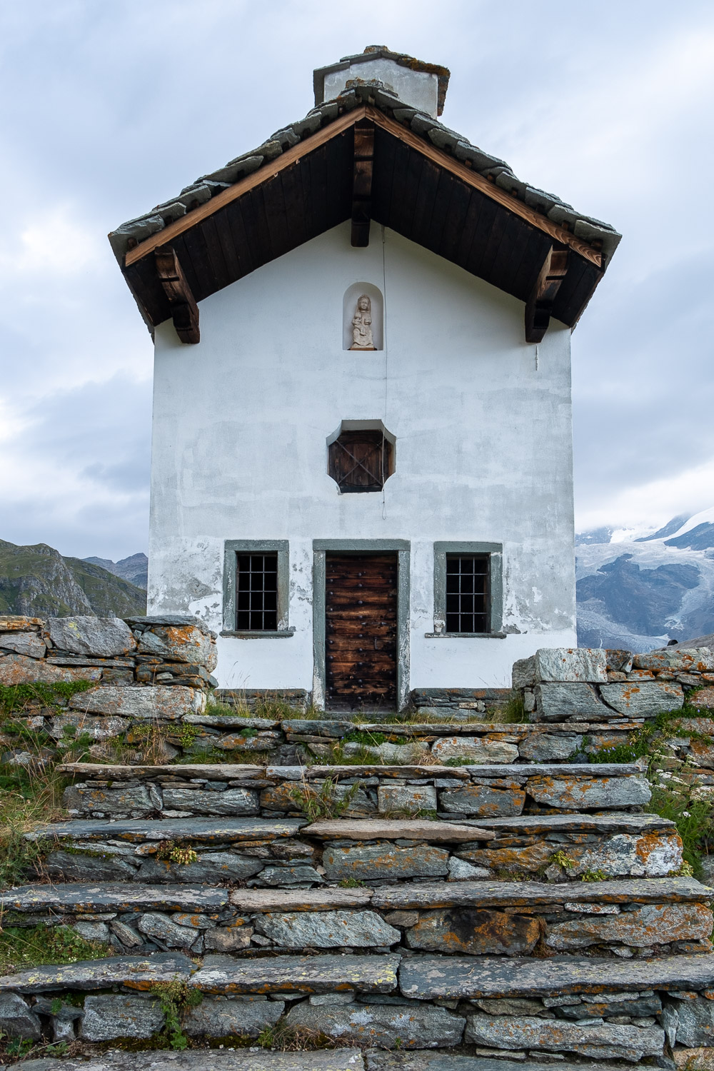
The original route of Trail 9 starts in Biel, a small hamlet just before Stafal. Once at St. Anne’s Chapel, at the arrival of the cable car, and up to the arrival at Bettaforca Pass, the trail runs alongside the chairlift, conincident with Trail 8, which stops at the pass.
It is possible to shorten the route by getting as far as the Bettaforca pass with the ski lifts (first the Stafal-Sant’Anna cable car, then the Sant’Anna-Colle Betta chairlift), thus avoiding the first 1,000 meters or so of elevation gain.
For those who would still like to start on foot from the valley floor, an excellent alternative to departing from Biel is Trail 1, which, starting from Stafal, makes it possible to reach the Bettolina Inferiore pass (where you rejoin Trail 9) through an extremely wild and very little-used environment.


")


