Trail 11
from trail junction 10B to trail junction 10
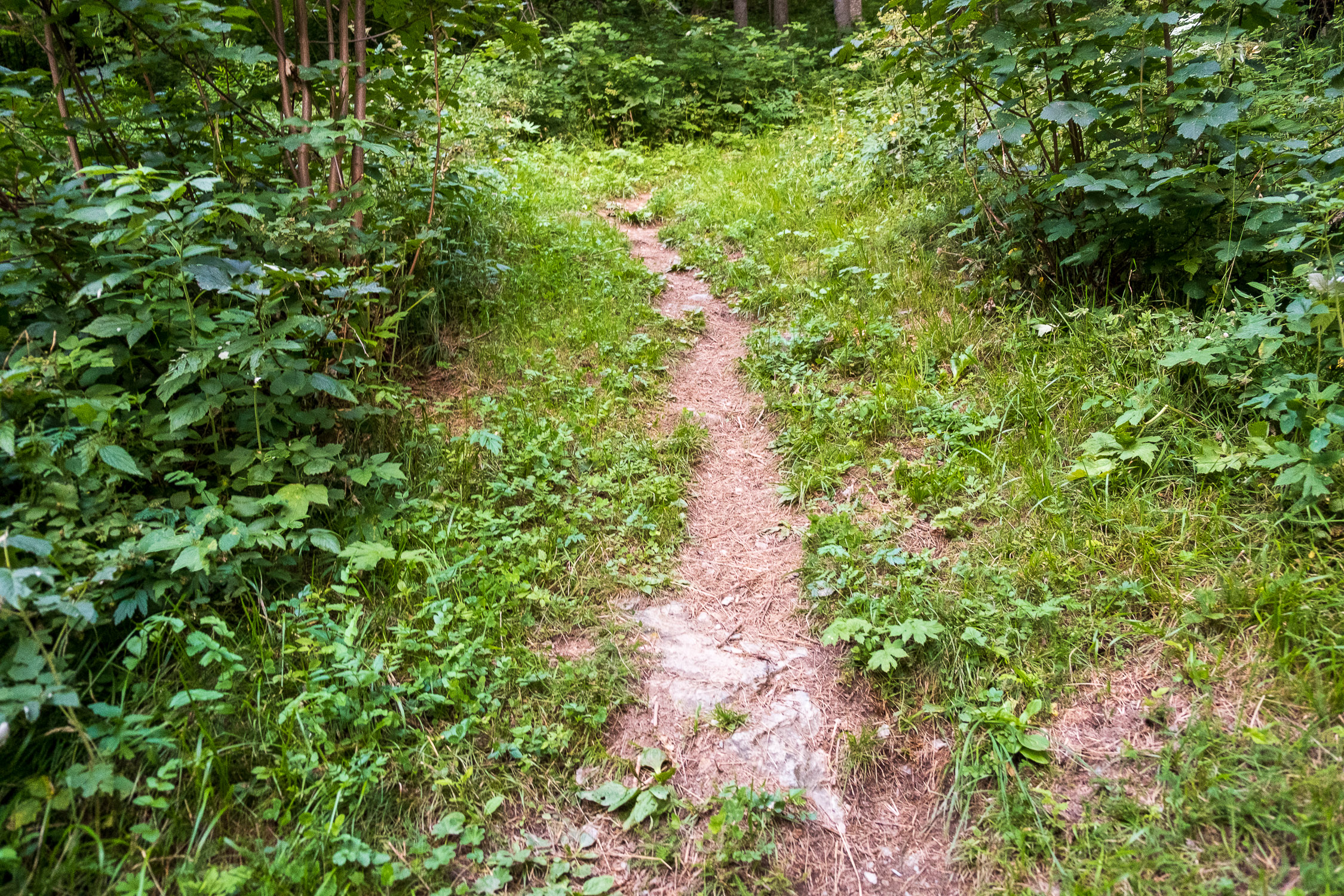
short trail
Trail 11 joins trails 10B and 10. It is 681m long and the total positive elevation gain is 45m.
The approximate time for the ascent is 0h13. The trail is rated of difficulty E.
Very short fragment connecting two trails (Trail 10 to Little Rothorn and Trail 10B, a connecting trail to the hamlet of Brachò/Lysbalma).
Despite its shortness, it still has the honor of having its own trail number, and thus a dedicated page on this site.

