Testa Grigia (3315m), trail 10C
from Gressoney-La-Trinité to Testa Grigia

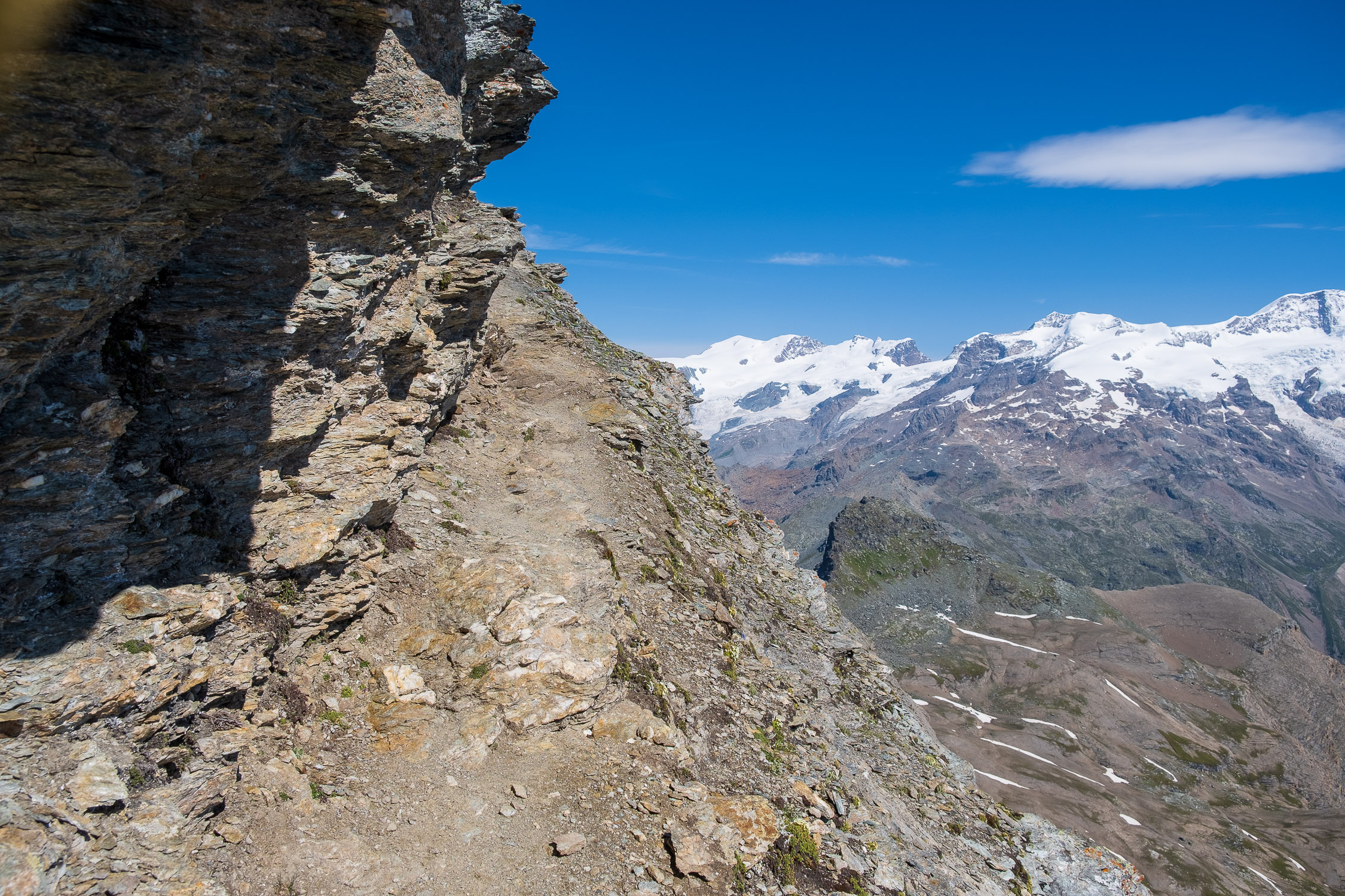
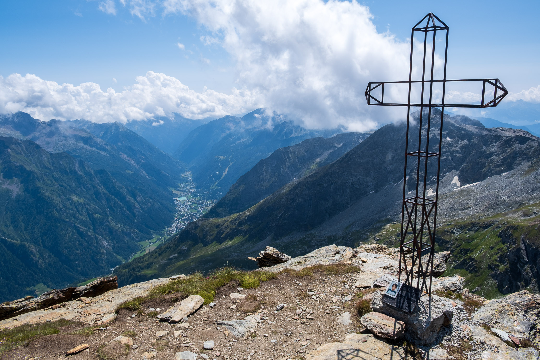
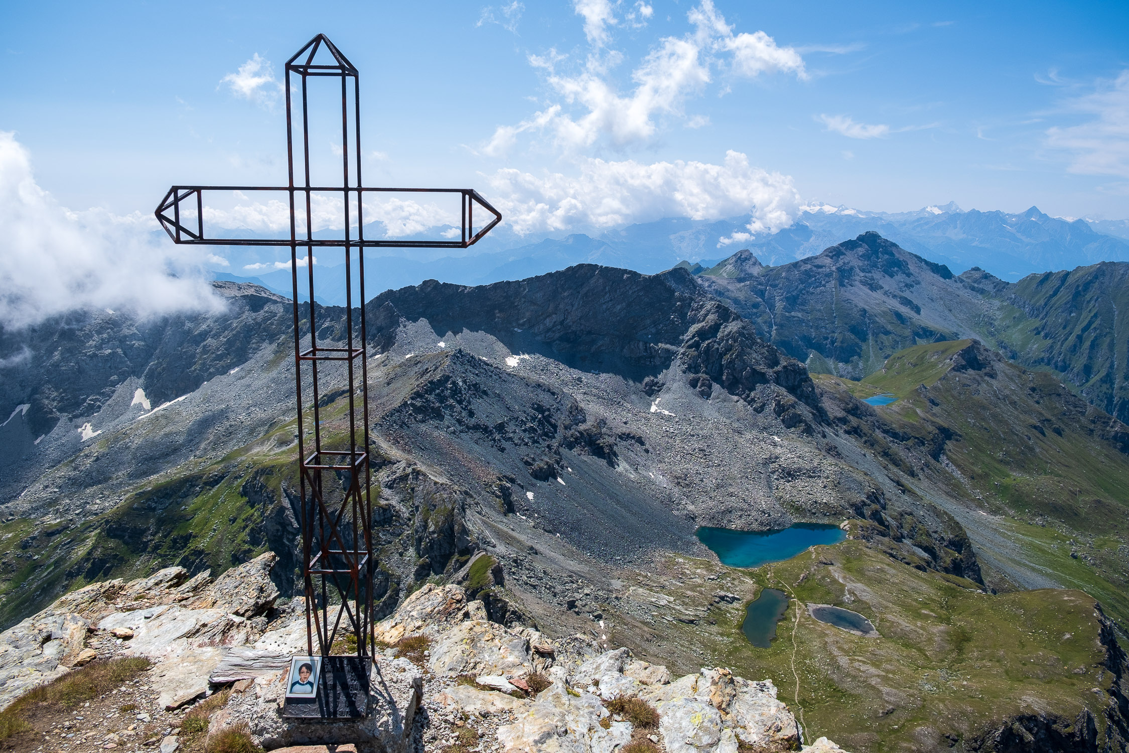
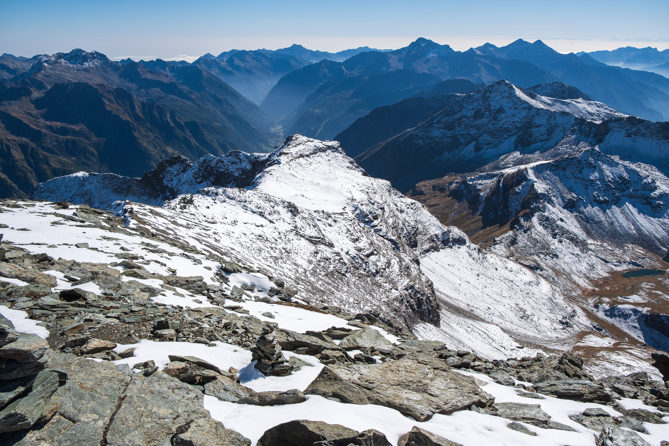
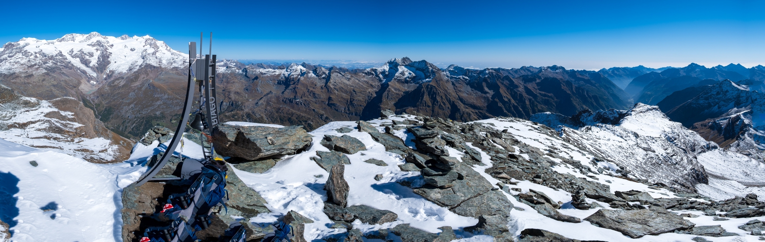
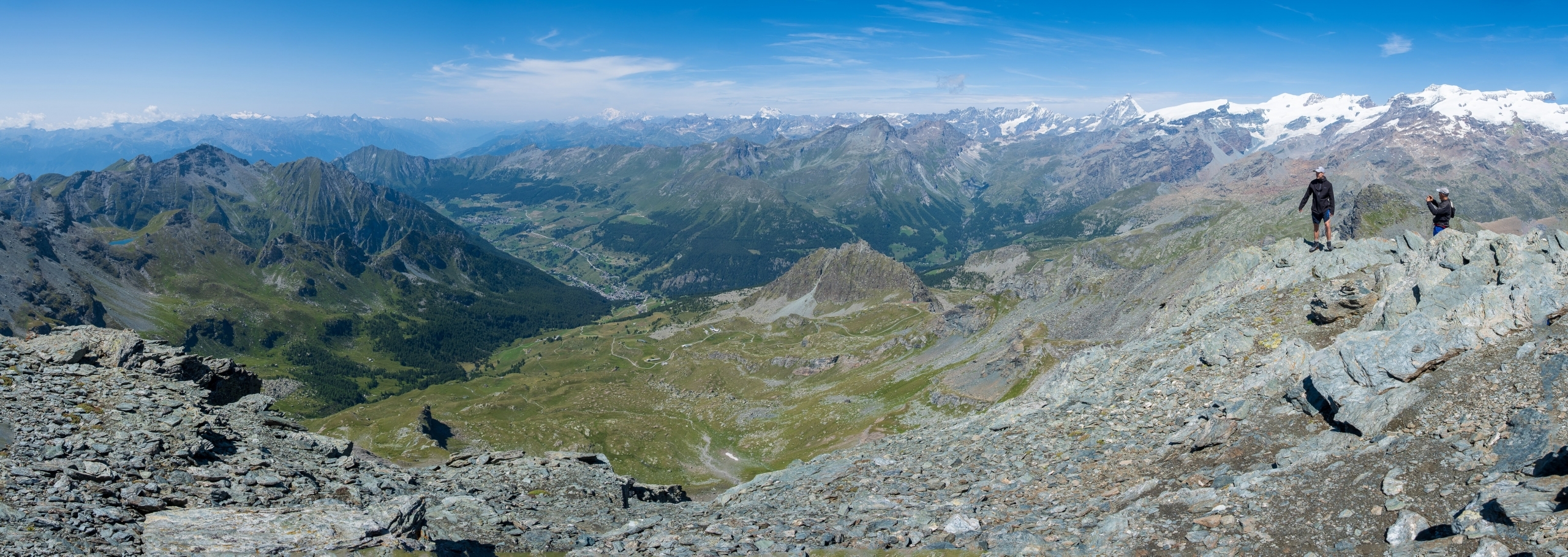
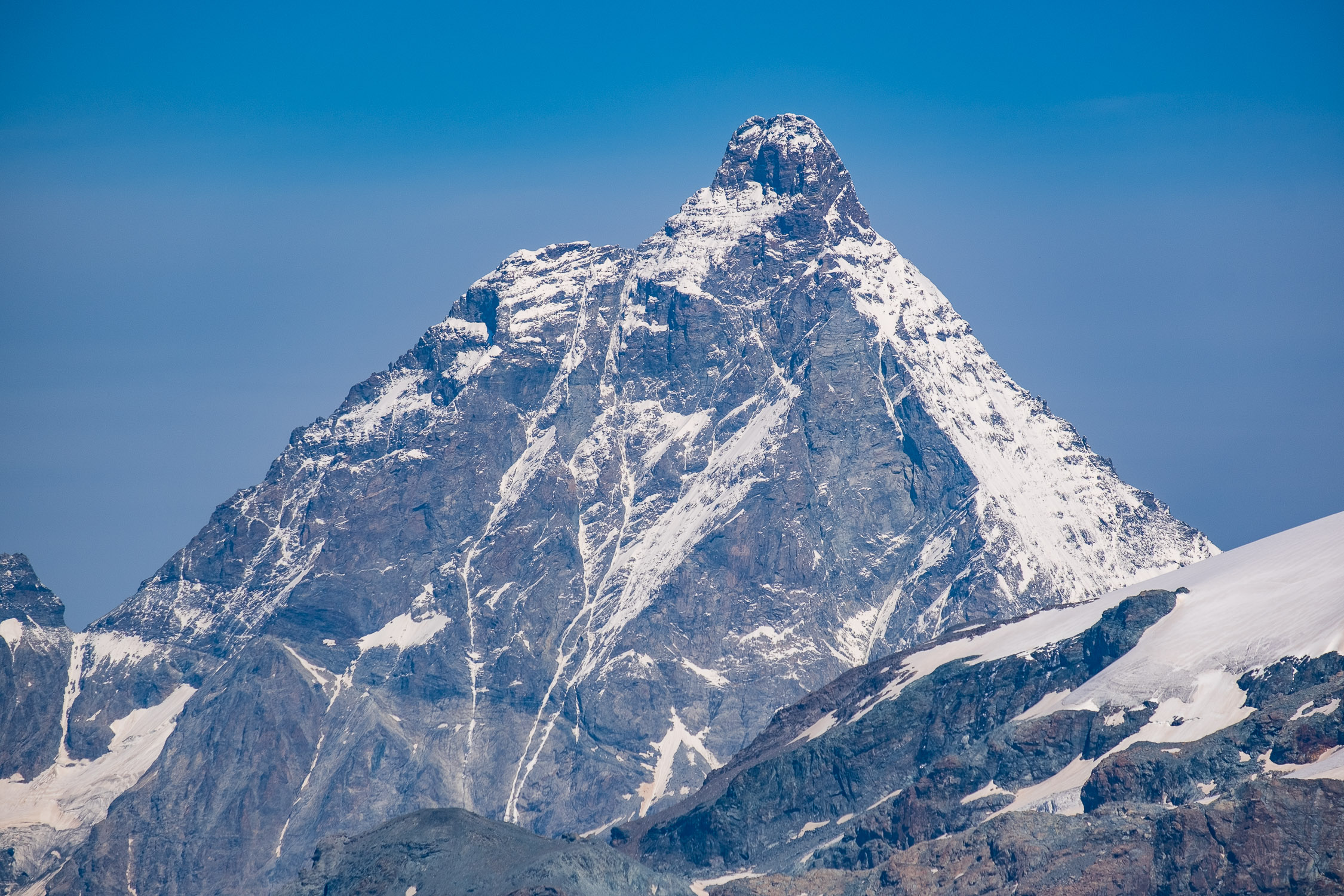
The summit, in the background the Matterhorn
Trail 10C starts in Gressoney-La-Trinité and arrives at Testa Grigia (3315m). It is 5854m long and the total positive elevation gain is 1689m.
The approximate time for the ascent is 5h02. The trail is classified as being of EEA difficulty.
The Testa Grigia (or Grauhaup or Grengo), is the quintessential mountain for all hikers in the area who dare not go beyond the glacier level. It is the highest peak of the two mountain ranges on either side of the Lys, reached directly from a trail with no extreme technical difficulties-a true dream.
The elevation gain to reach it is considerable, but it is still a popular peak, partly because those who reach it from Val D’Ayas can save about a thousand meters of elevation gain on the ascent by getting as far as Ostafa by cable car.
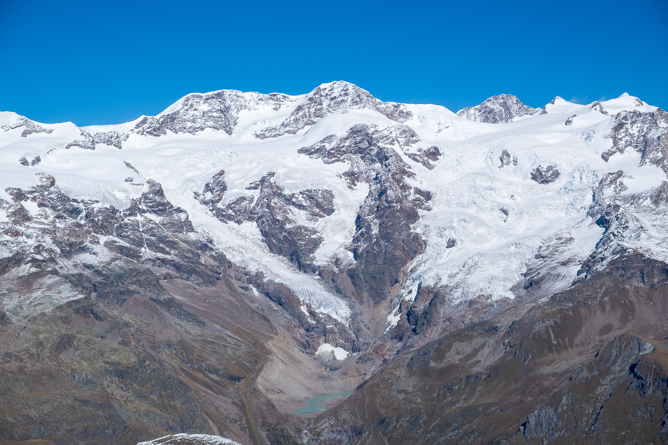
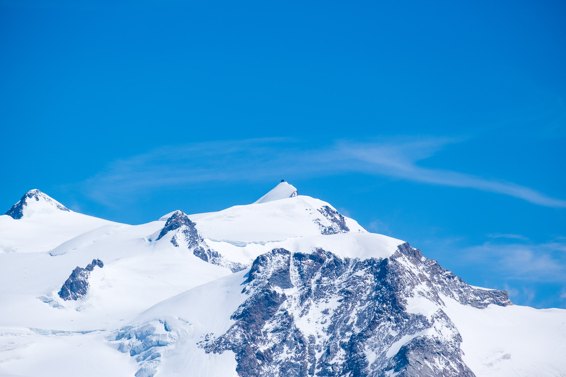
From the summit the view is of course majestic, over the entire Rosa massif, all the main mountain groups of the Lys valley and the Aosta Valley. It seems that on the clearest days you can even make out Lake Maggiore (a fortune that has not yet occurred to me).
10C is one of two trails that can be taken to reach the summit. Of the two, it is the one that is slightly shorter but steeper and, because of this, the least frequented. The other is Trail 6, which starts from Gressoney-Saint-Jean: less steep (and therefore longer), and definitely busier also because from the Pinter Pass onward people are added from Val D’Ayas.
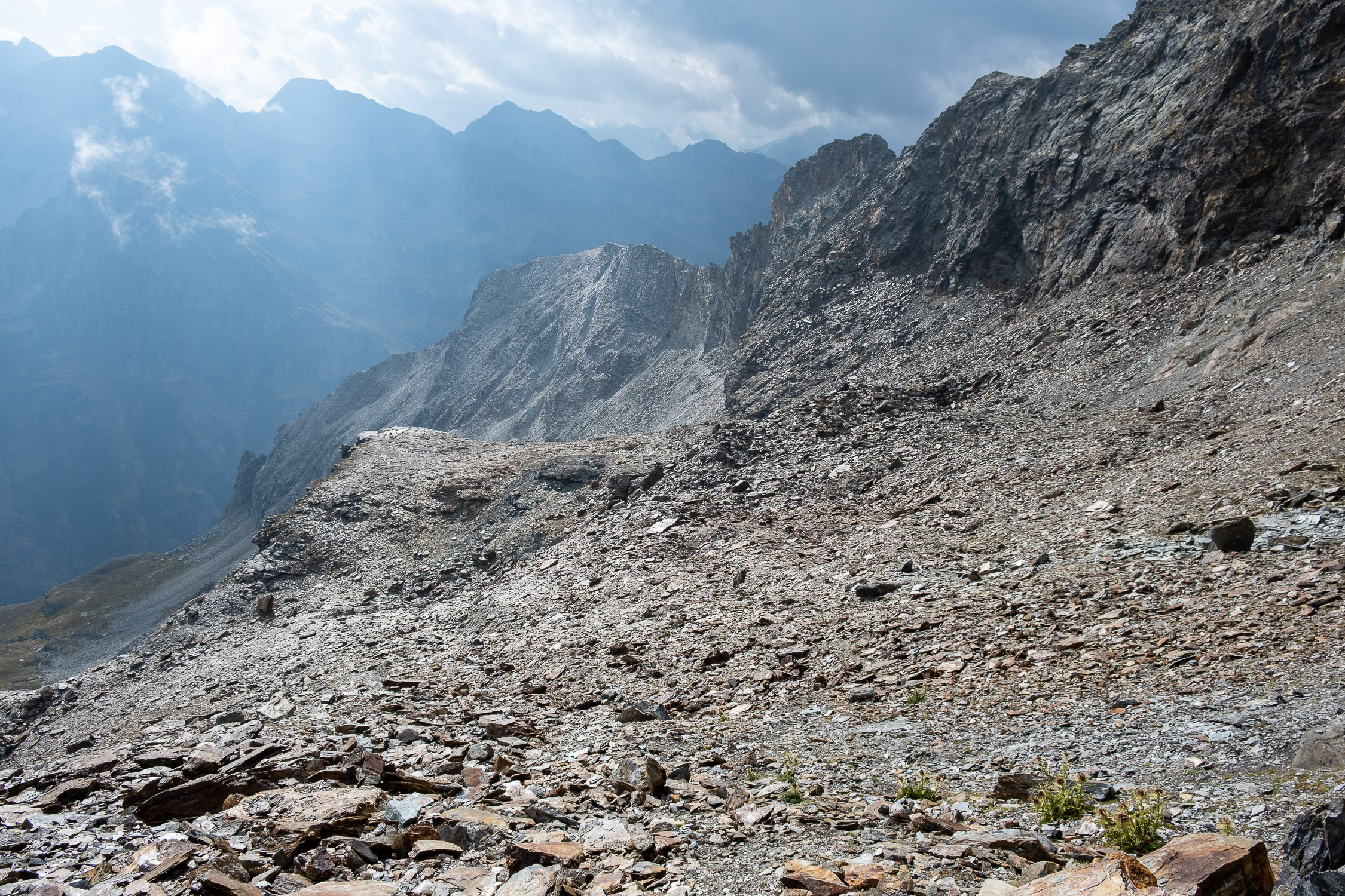
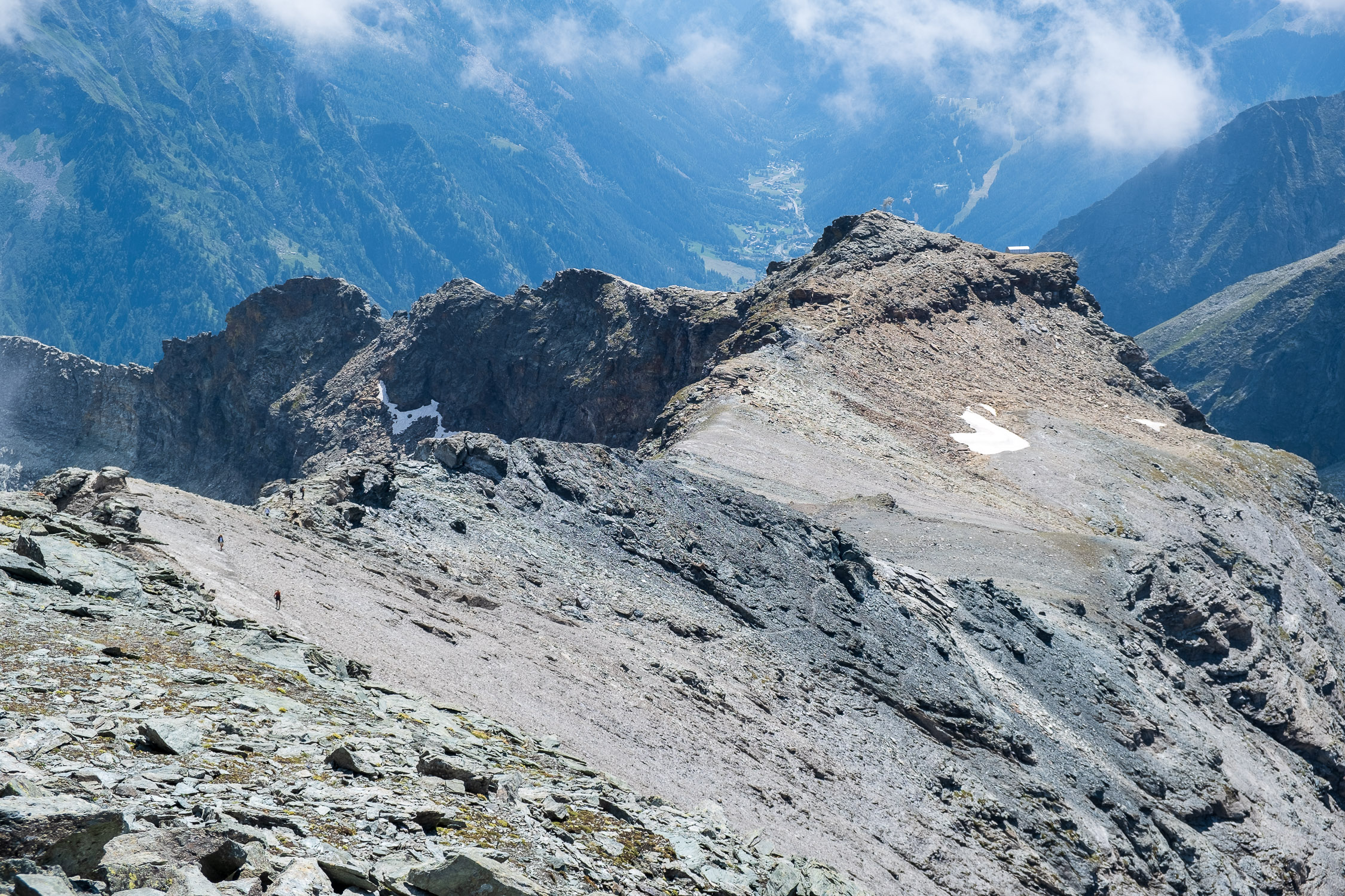
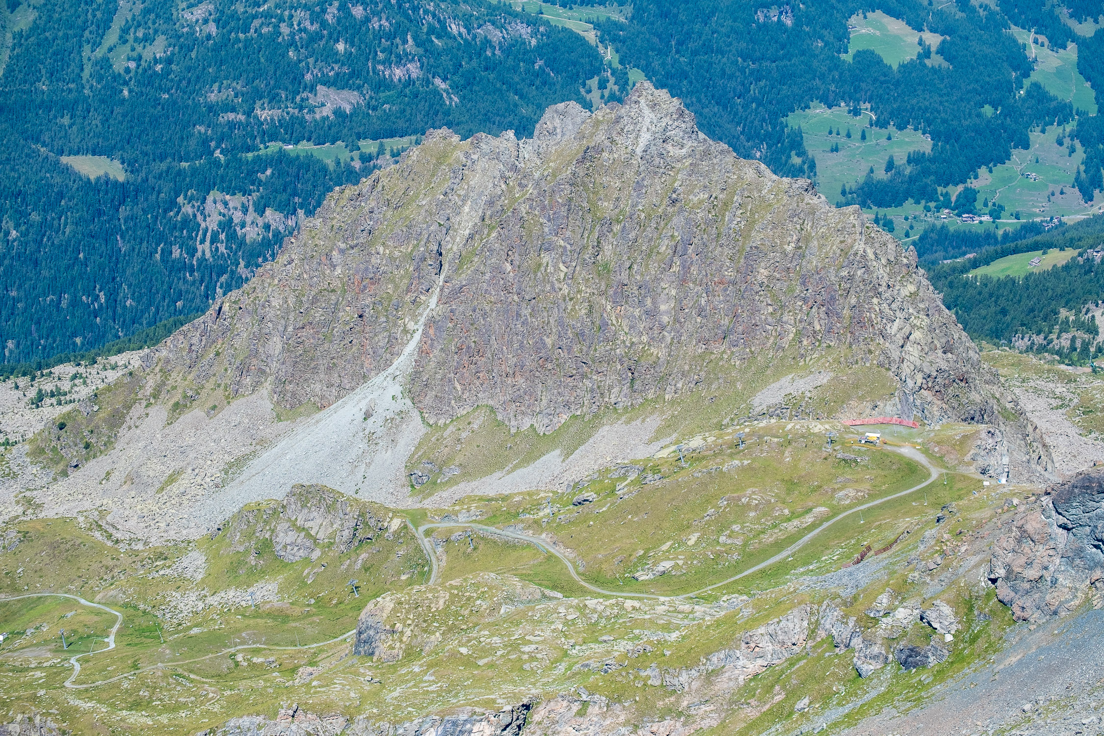
The 10C climbs along the entire eastern slope of Testa Grigia, starting from the center of Gressoney-La-Trinité: initially in common with the trail 10 for the Piccolo Rothorn, separating from it just before reaching the hut of Hockene Stei and reaches the place where the bivouac built in 1965 named after Virgilio Cozzi (president of the Vigevano CAI, died in 1964) and destroyed years later by an avalanche. Now there is only a clearing with two benches, which survived the avalanche. From here we pass definitively over rocky terrain, ascending a rugged transverse valley that leads up to the collar between the Bivouac Lateltin and the ridge leading to the summit. From here on it is in common with trail 6.

Article
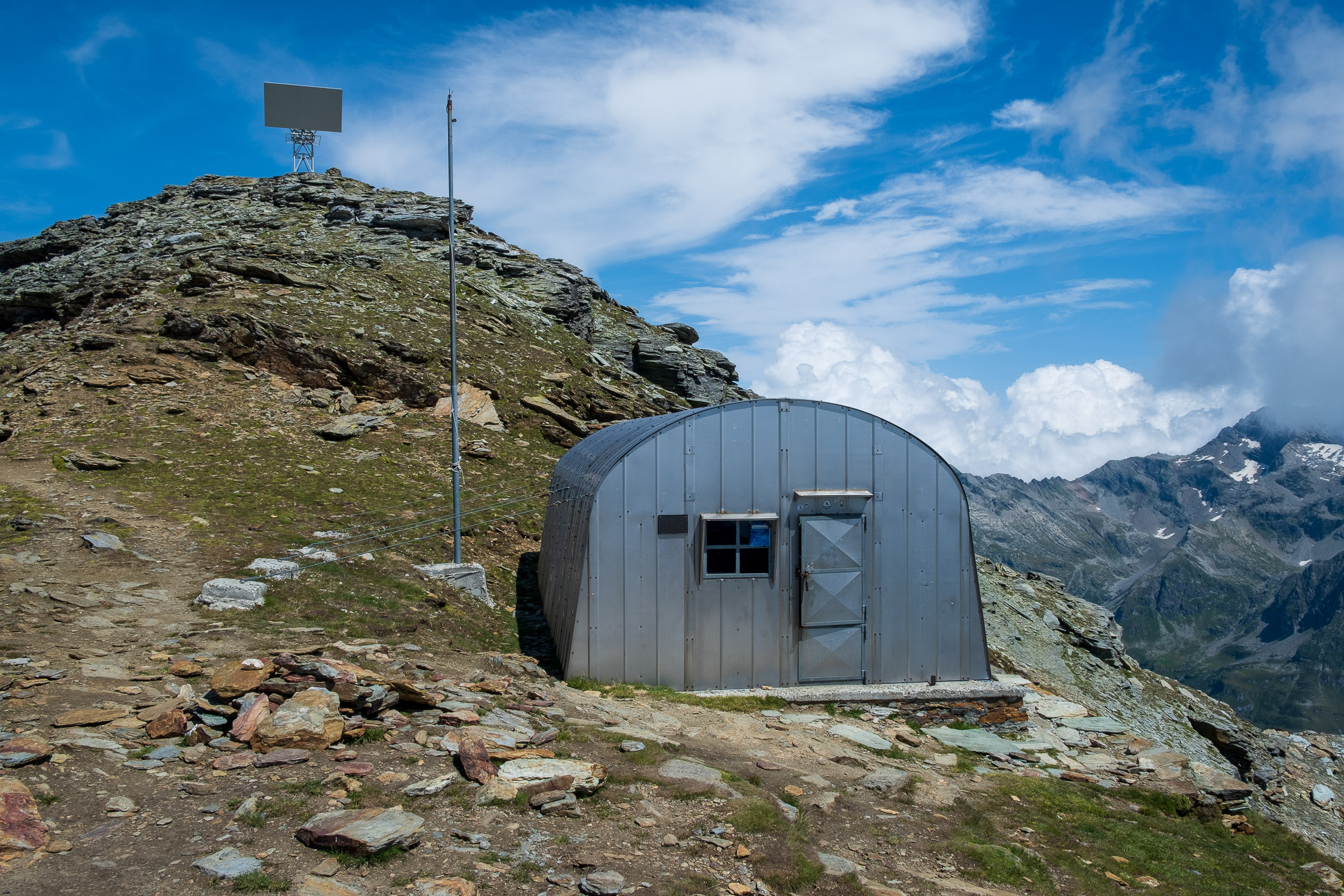
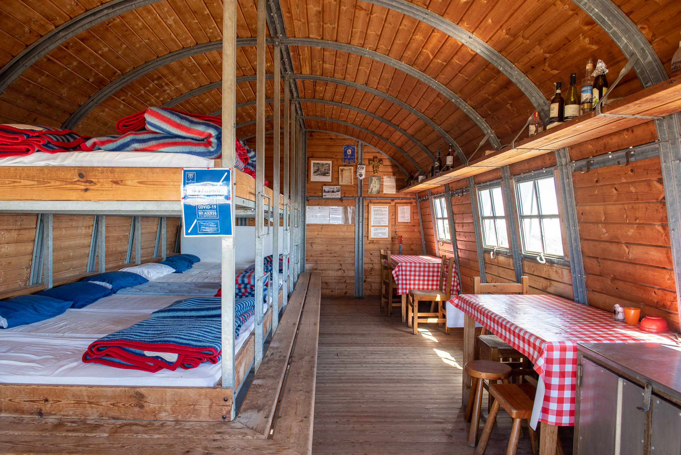
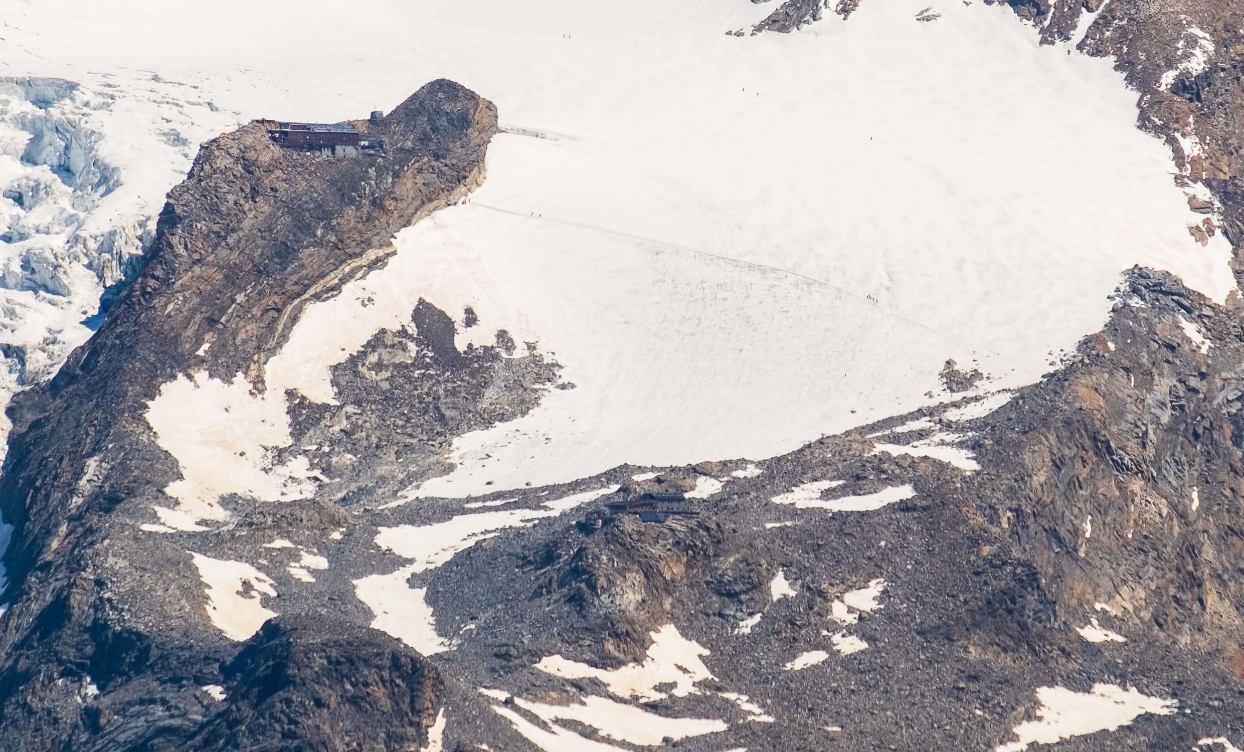
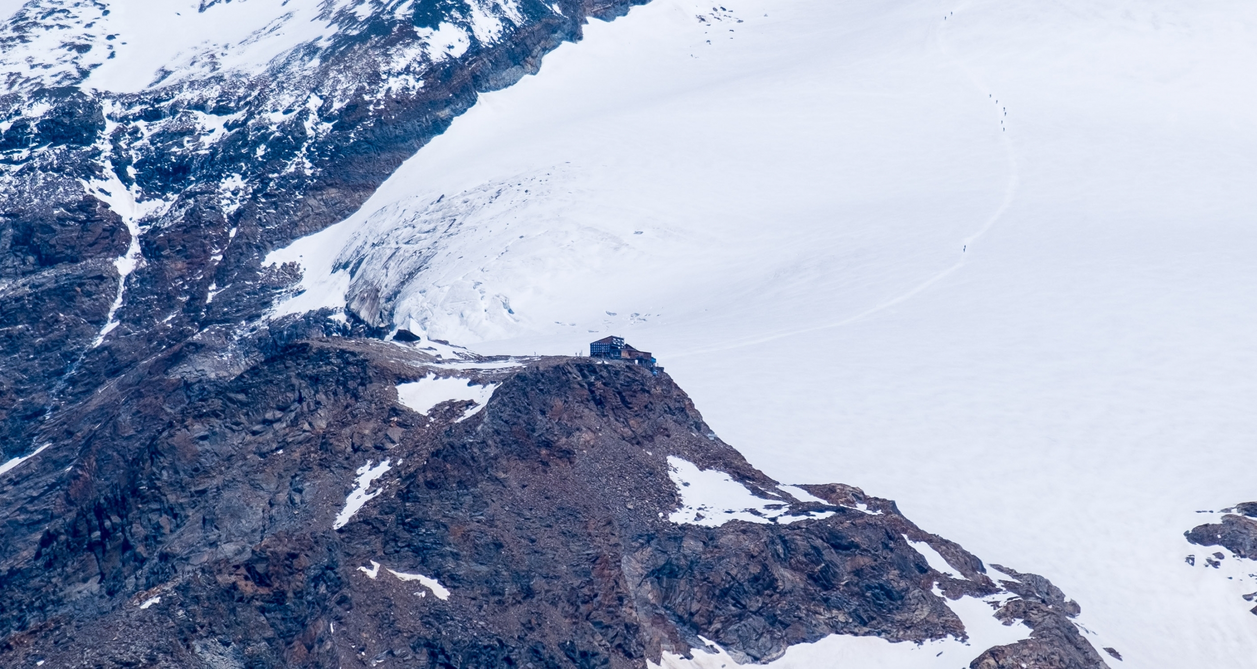
The bivouac Lateltin
The bivouac Lateltin, which is located just below Punta Pinter (antecima of Testa Grigia), has a singular history: in 1950 carpenter Ulrico Lateltin from Gressoney-Saint-Jean, together with his father Floriano, began its construction, starting by transporting material to the area where it was to be built.
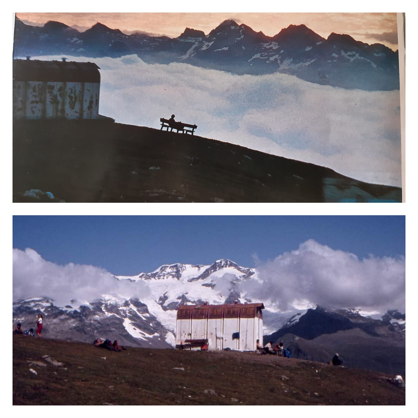
The project was interrupted due to difficulties in construction and the scarcity of means, but in 1983 that material was found by his nephew Augusto Linty, who had the idea to restart the construction of the bivouac (later inaugurated on August 4, 1984). It is currently owned by the CAI of Gressoney-La-Trinité. Opposite photo shows an August 1, 1984 La Stampa article announcing its imminent opening. In the bivouac (16 beds) you can stay overnight, provided you find a place (impossible to reserve): the cost is 3€ which can be paid afterwards by bank transfer. For more information contact the Gressoney CAI (+39 331 7893125, caigressoney@gmail.com).
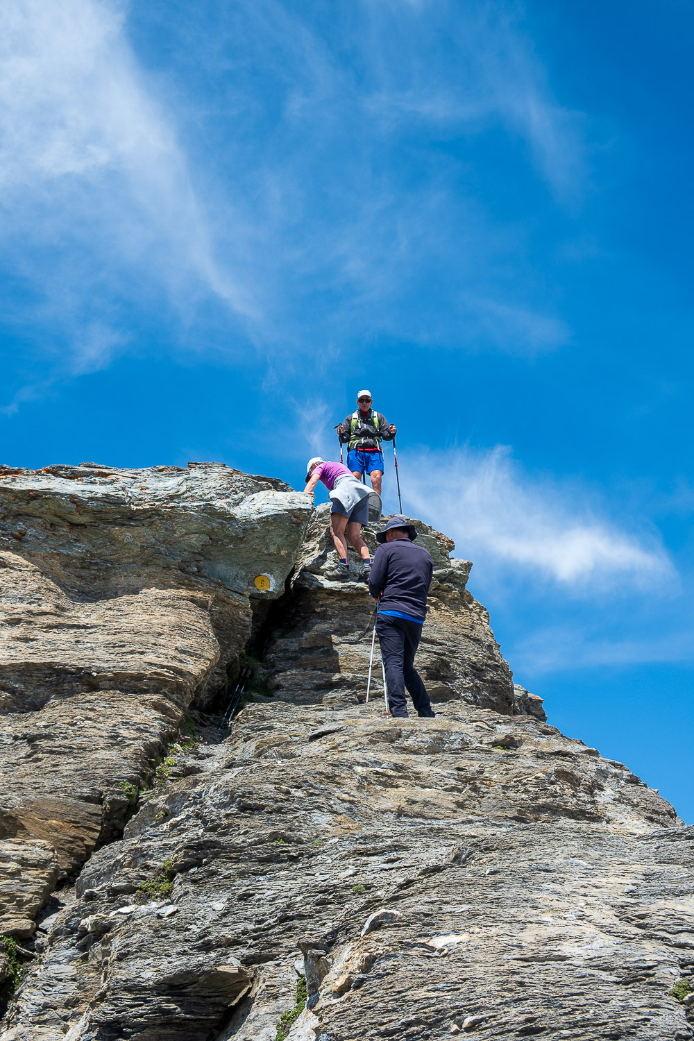
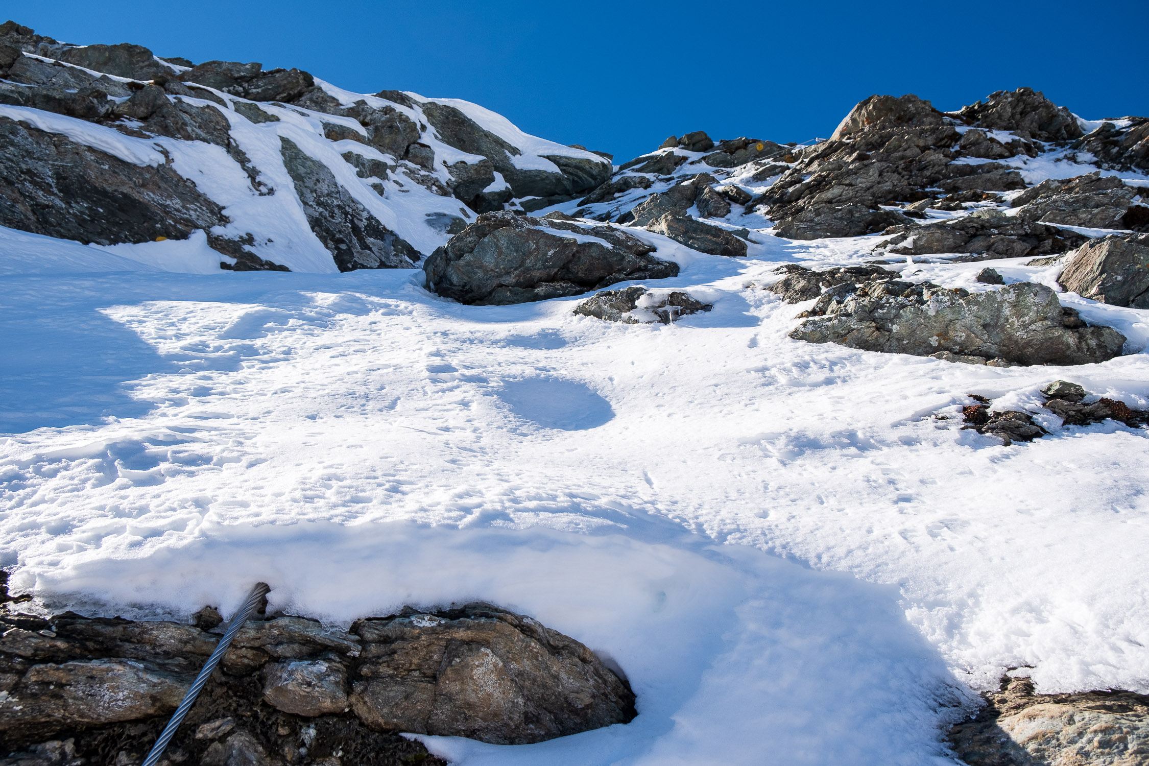
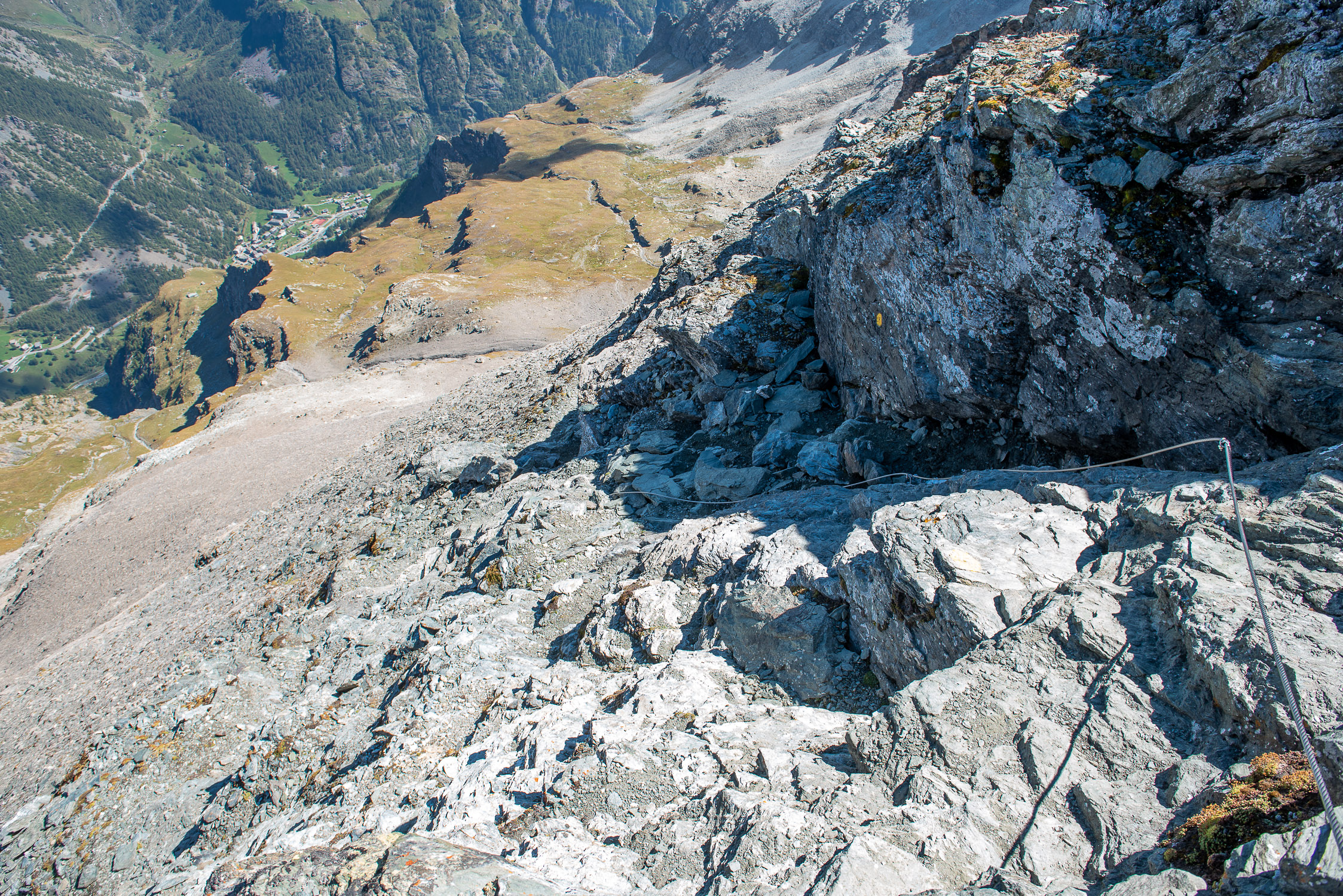
Two final words about the technical difficulties: the trail is classified as EEA, which means there are equipped sections. There are three such stretches: the first is a trattto with a steel cable, which one must climb just before reaching the plateau where the remains of the Cozzi Bivouac stand. The other two are collected in the final section of the route, from the collar north of the bivouac Lateltin: a rocky step that one climbs by force of arms clinging to two iron chains, and a rocky gully that leads directly to the summit equipped with two steel cables, frankly not essential for progression (but very useful). Strongly recommended to wear gloves in sections with steel cables to avoid injury from some broken wires (usually always present) that are very sharp.


