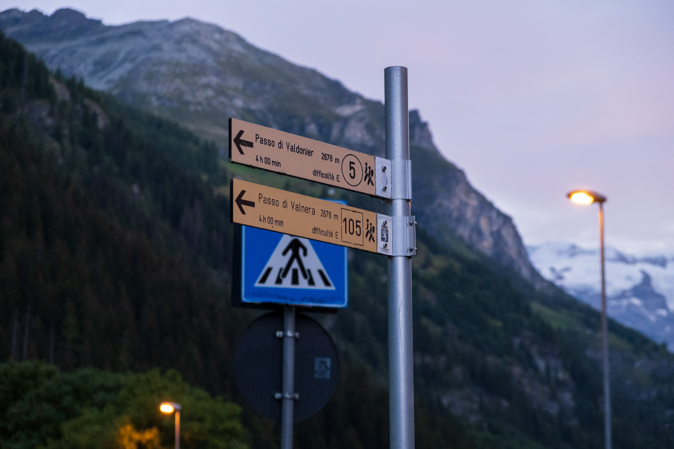
Punta Valfredda (2941m), trail 5
from Bino to Punta Valfredda via Valnera/Valdonier Pass.
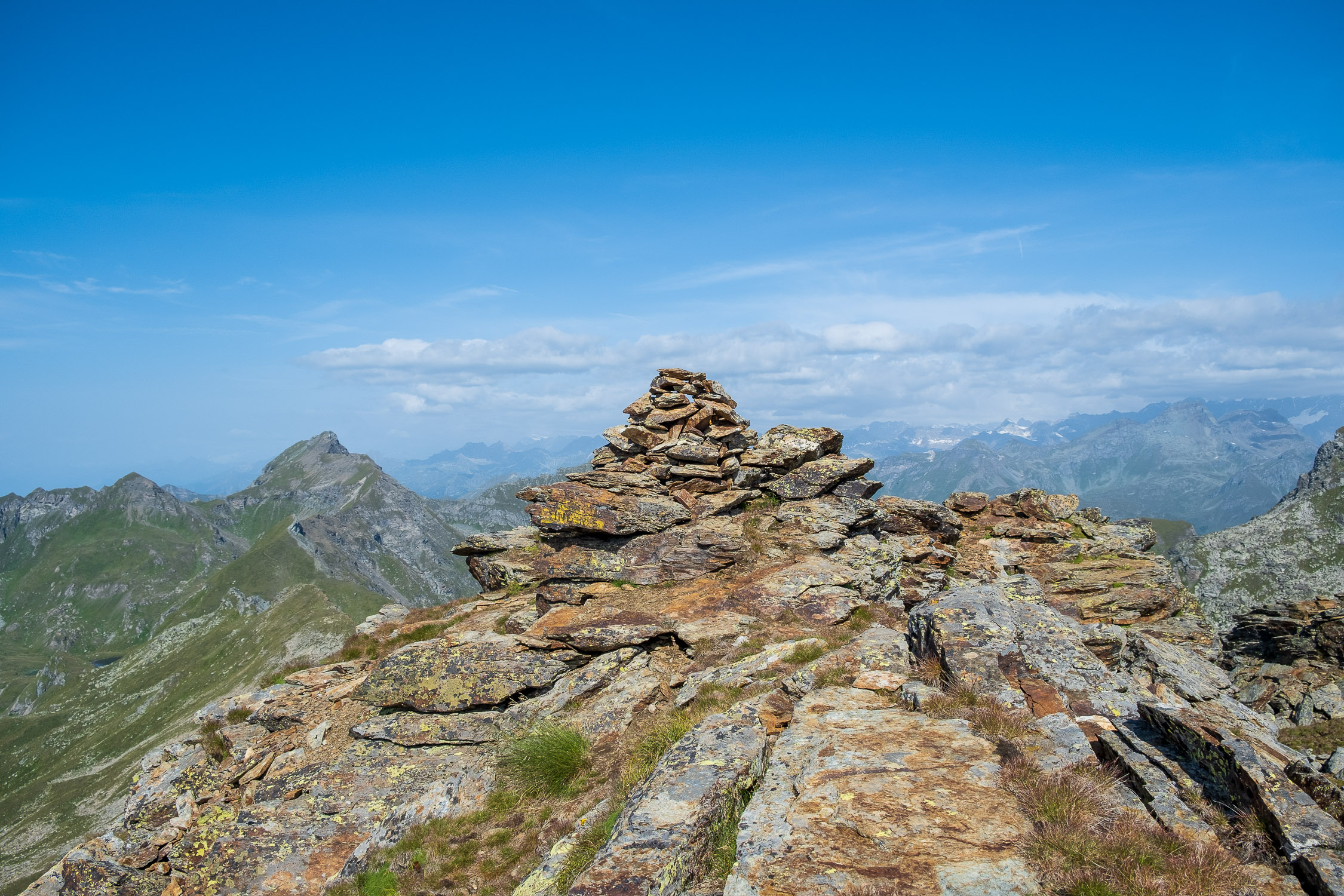
The summit cairn at Punta Valfredda, 2941m
Trail 5 starts from the hamlet of Bino and arrives at Punta Valfredda (2941m) passing first through Valnera/Valdonier Pass (2676m). It is 5561m long and the total positive elevation gain is 1552m.
The approximate time for the ascent is 4h38. The trail is rated EE difficulty.
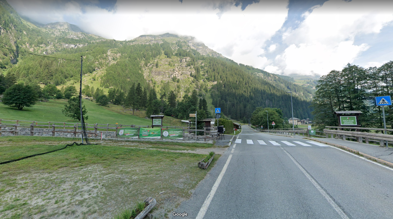
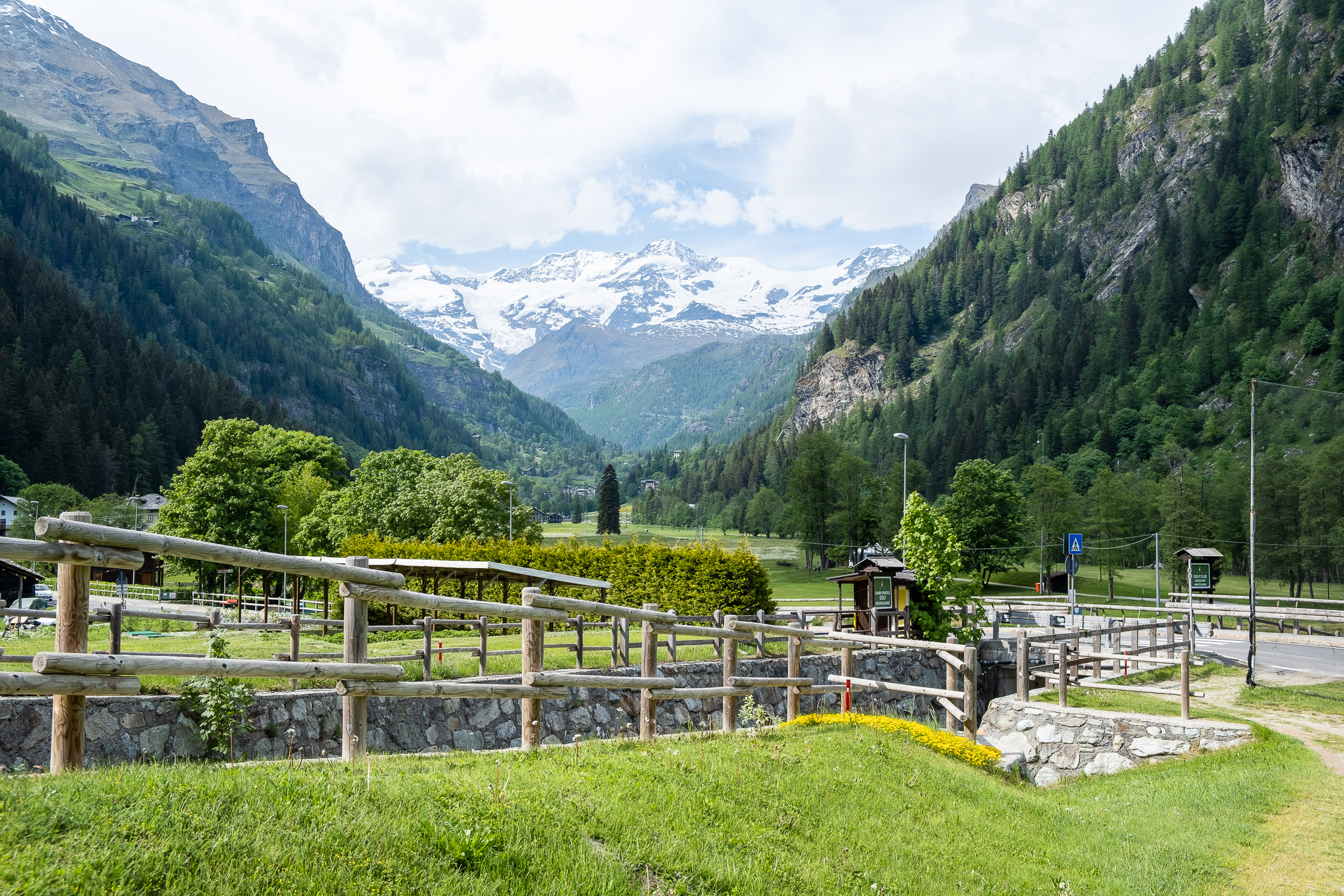
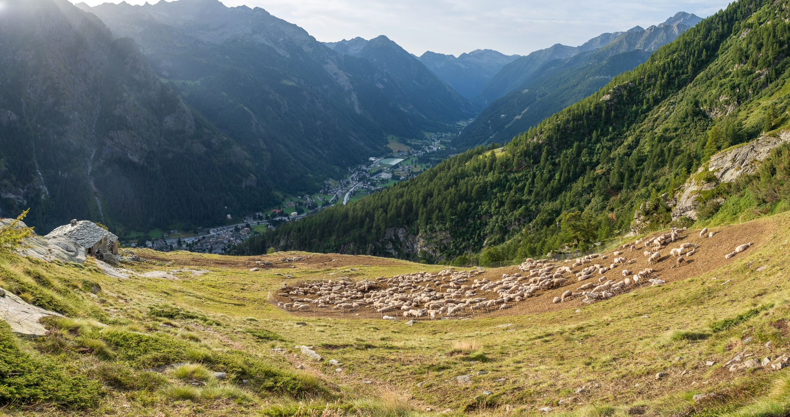
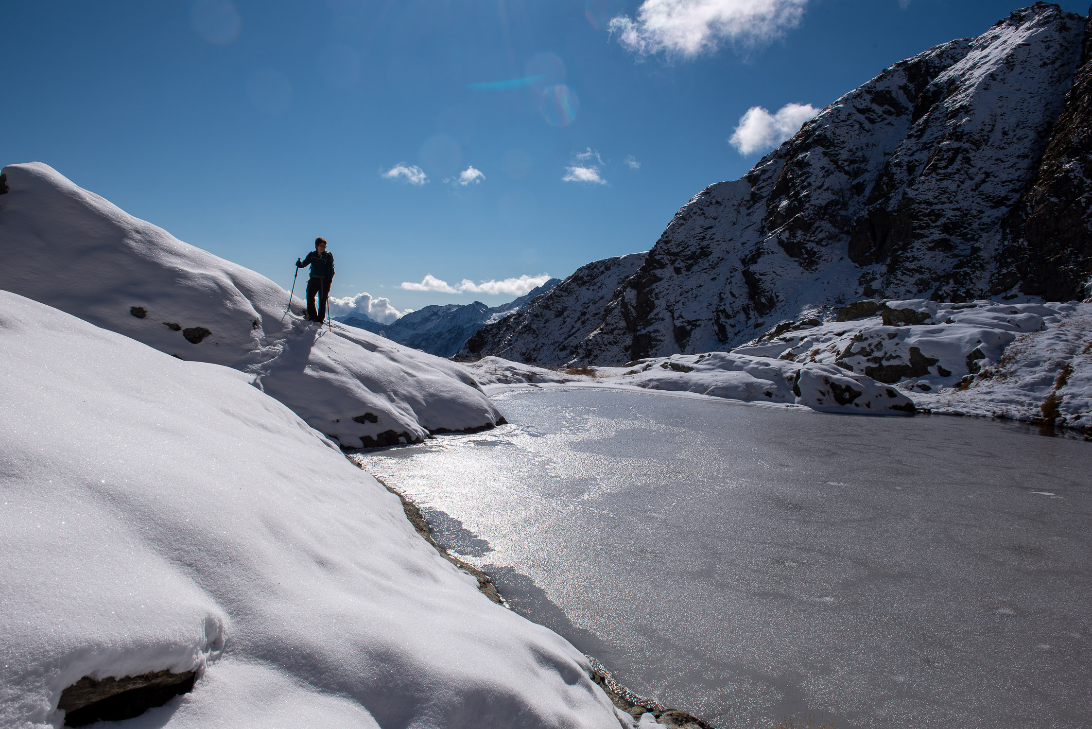
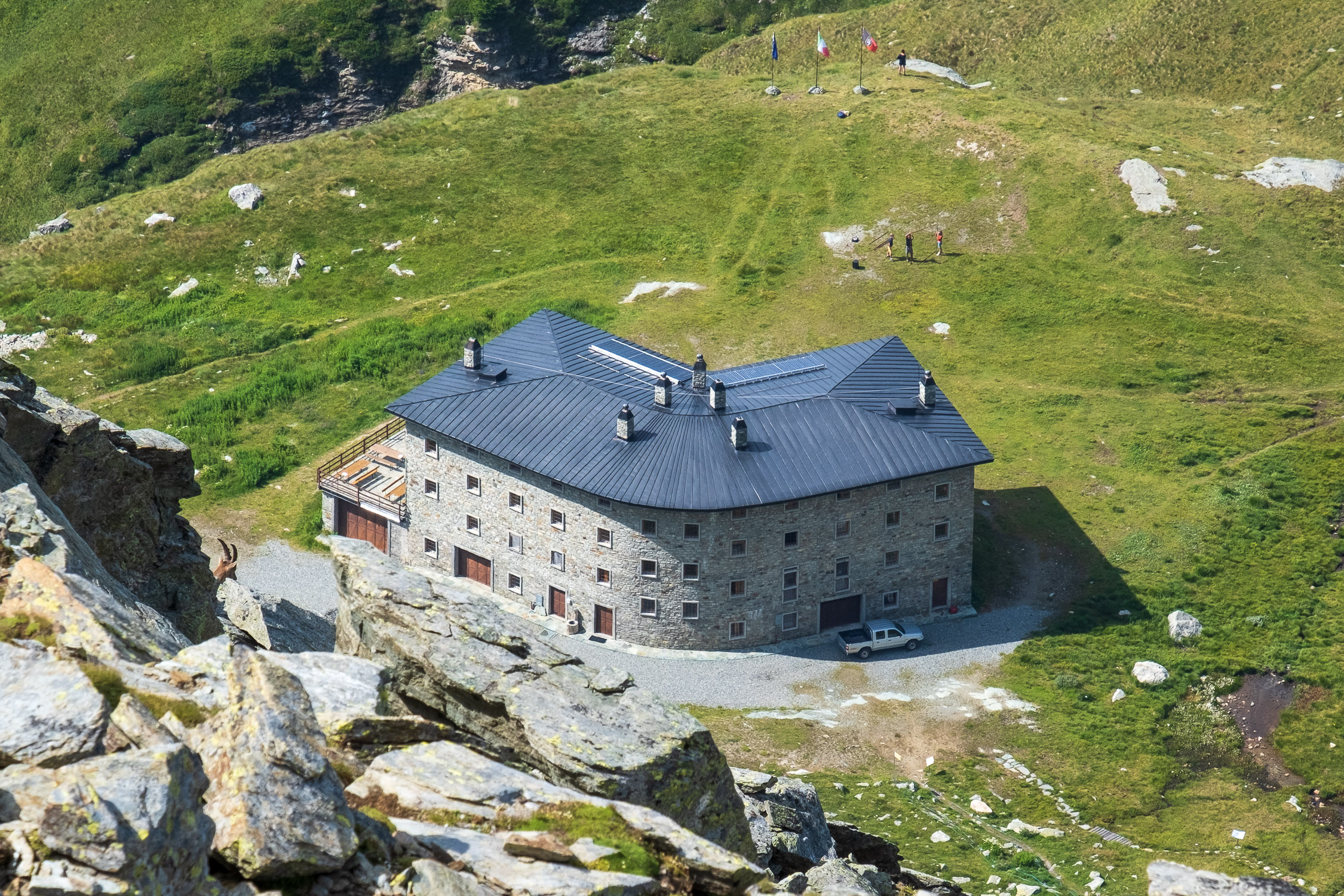
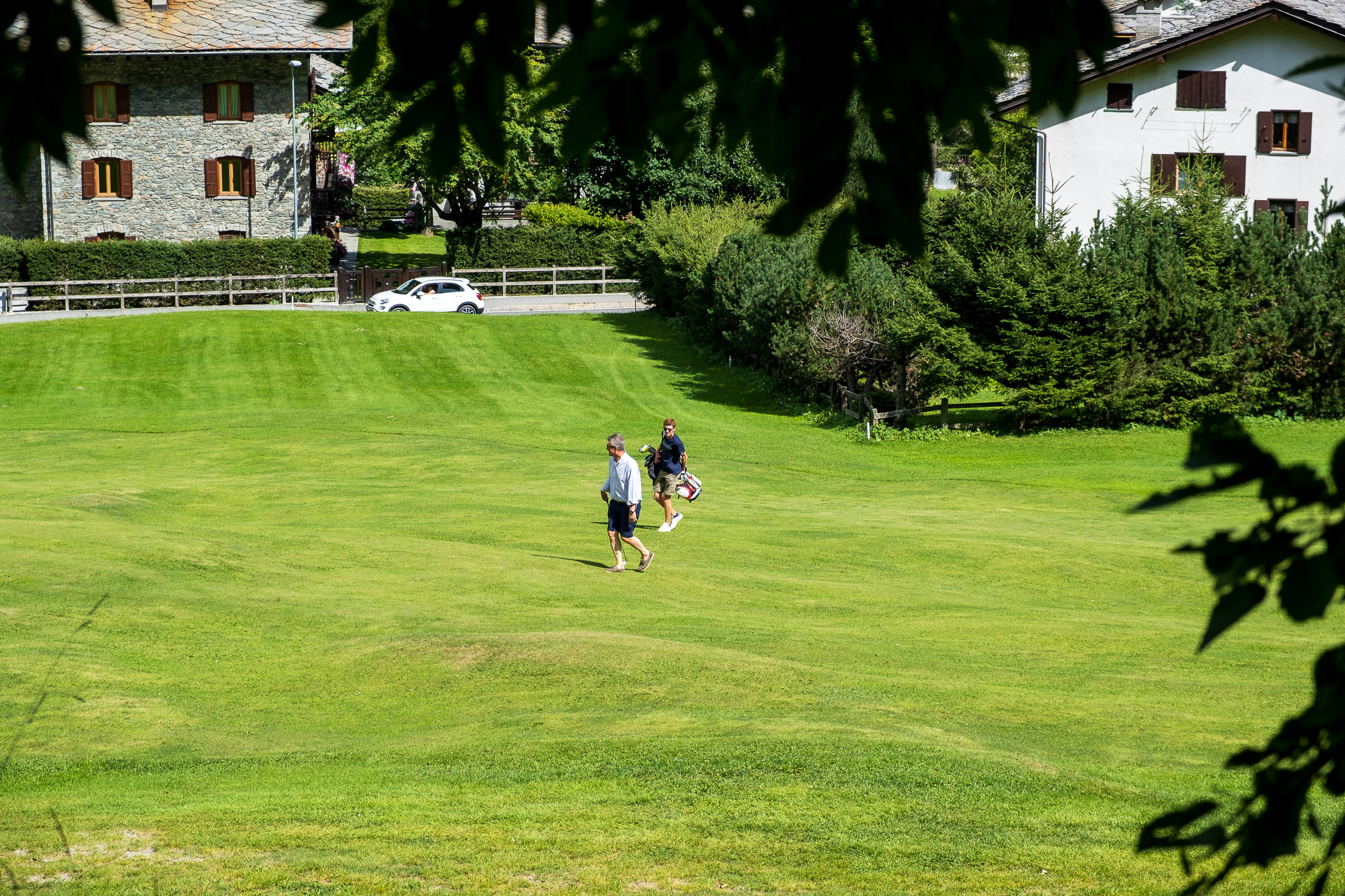
The Valnera Pass connects the Lys Valley with Palasina, above Brusson in Val D’Ayas. The trail starts between two holes of the golf course immediately upstream of the village of Gressoney-Saint-Jean, to the left of the state road.
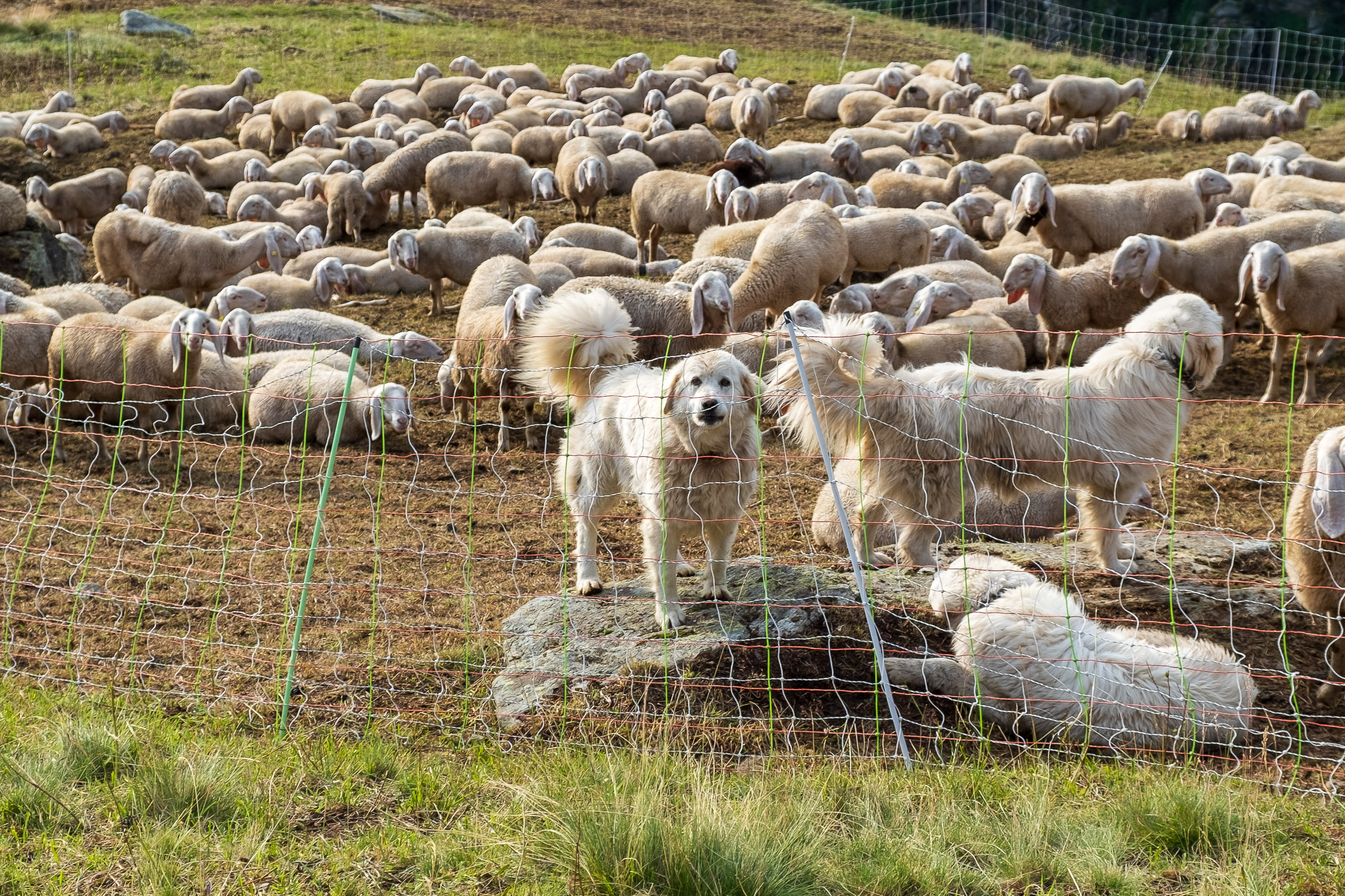
Although it is a trail that starts practically from the village, it is very little traveled and crosses a barren and lonely landscape with a few ruined and abandoned alpine pastures. The climb is monotonous and almost constantly under the rising sun behind the climber (which is why it is advisable to start early in the morning).

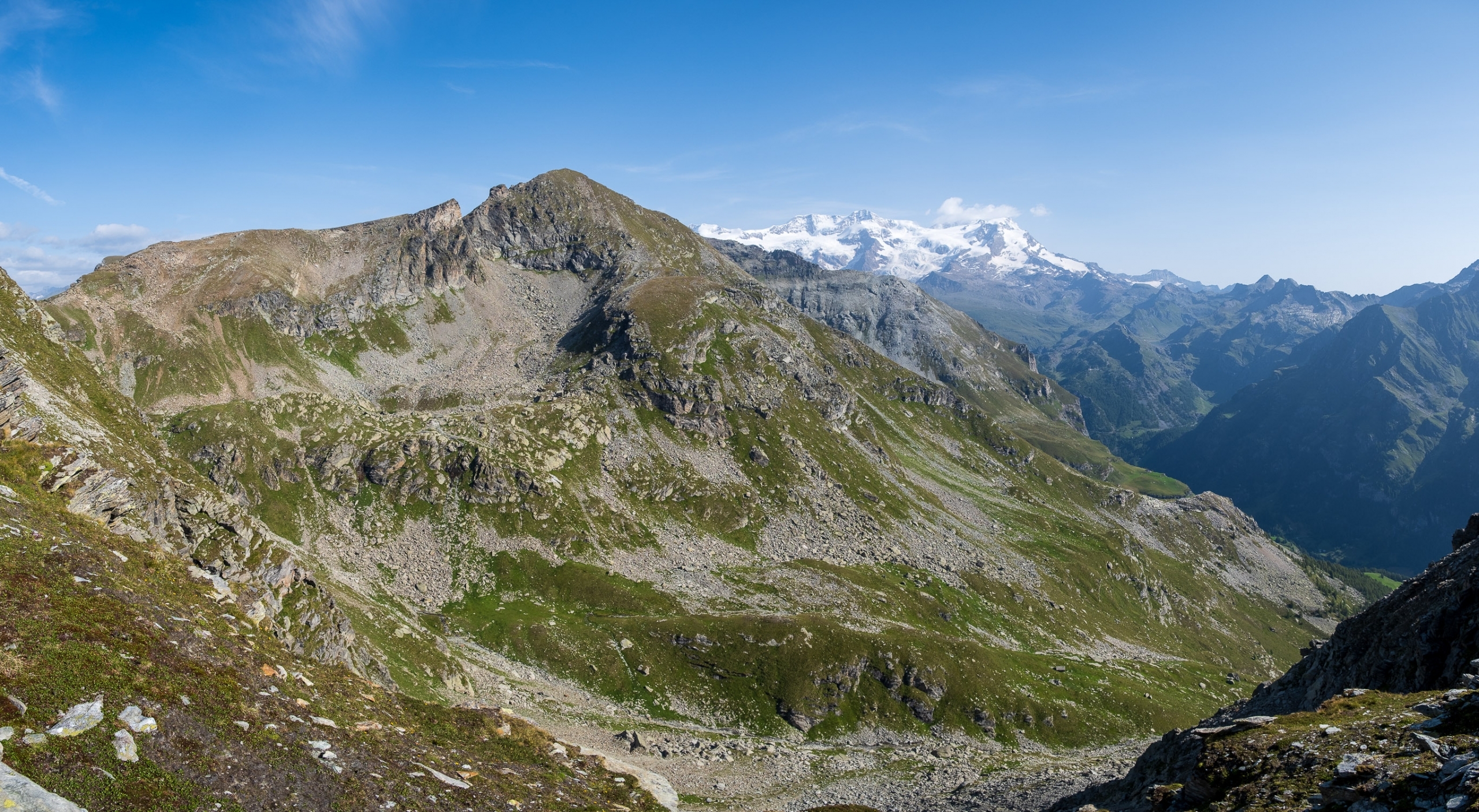
From Punta Valfredda the Corno Vitello, behind it the Testa Grigia Zoom in on the ridge joining the visible Pinter Bivouac (right) and the summit of Testa Grigia
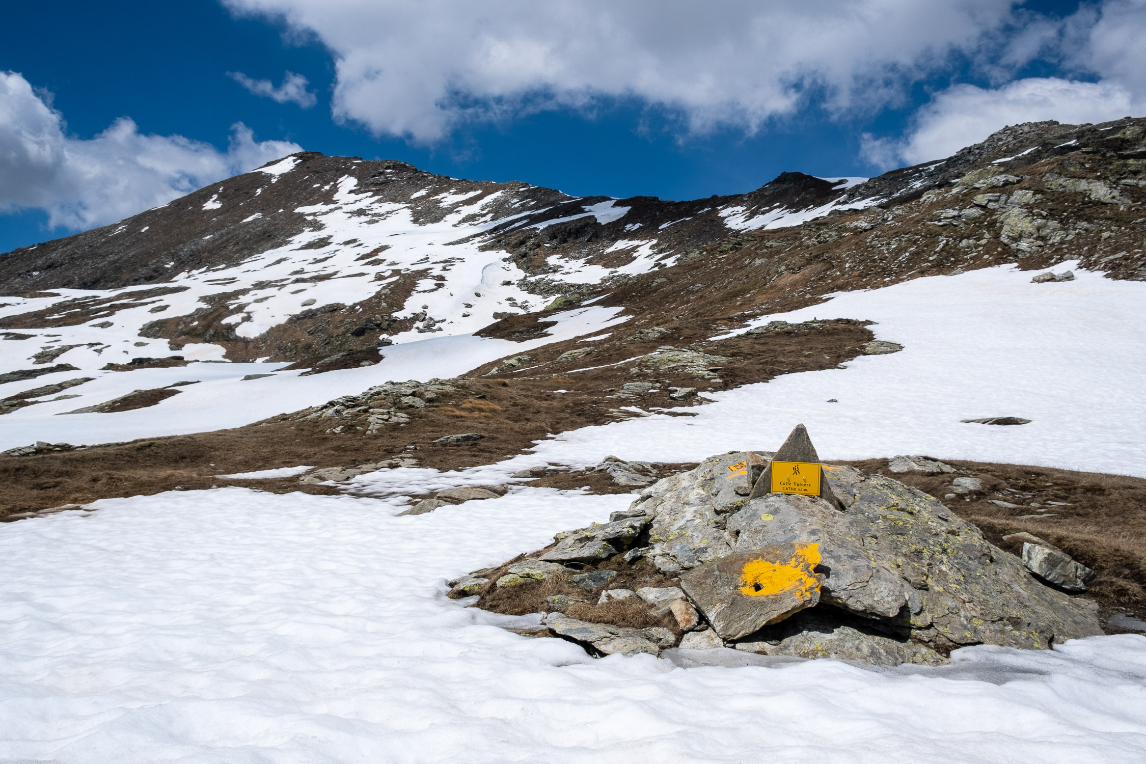
Note that even Valnera Pass alone can be a worthy final destination. From Valnera Pass one can reach, if one does not want to continue to Punta Valfredda, the closer Punta Valnera (2754m), which is less scenic but no less appreciable.
The continuation to Punta Valfredda runs almost entirely to the left of the ridge: it presents no particular difficulty, but it is not clearly marked, and one must be able to identify the path by following cairns and sparse colored bolts (it is in fact this section that made the trail of EE difficulty).
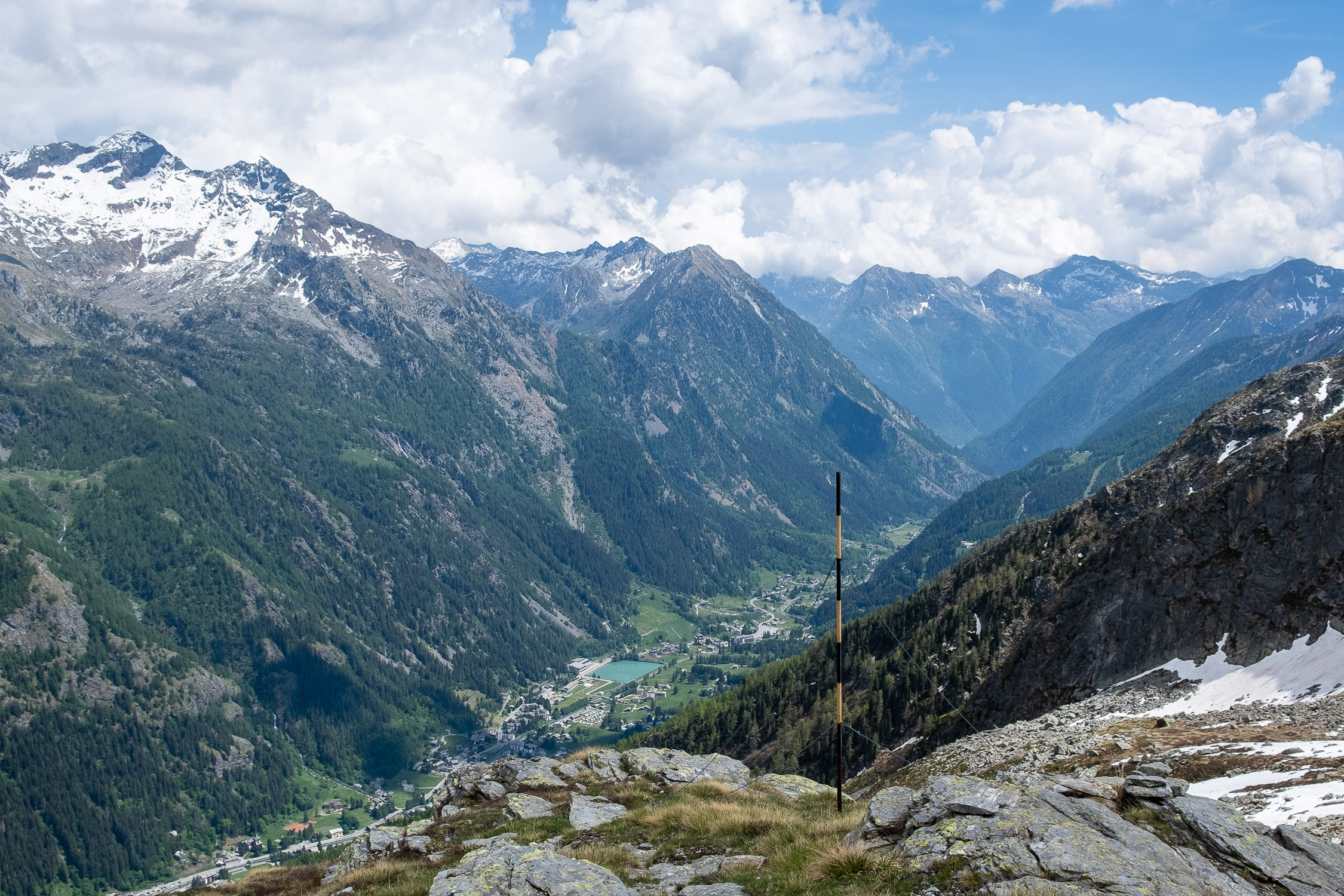
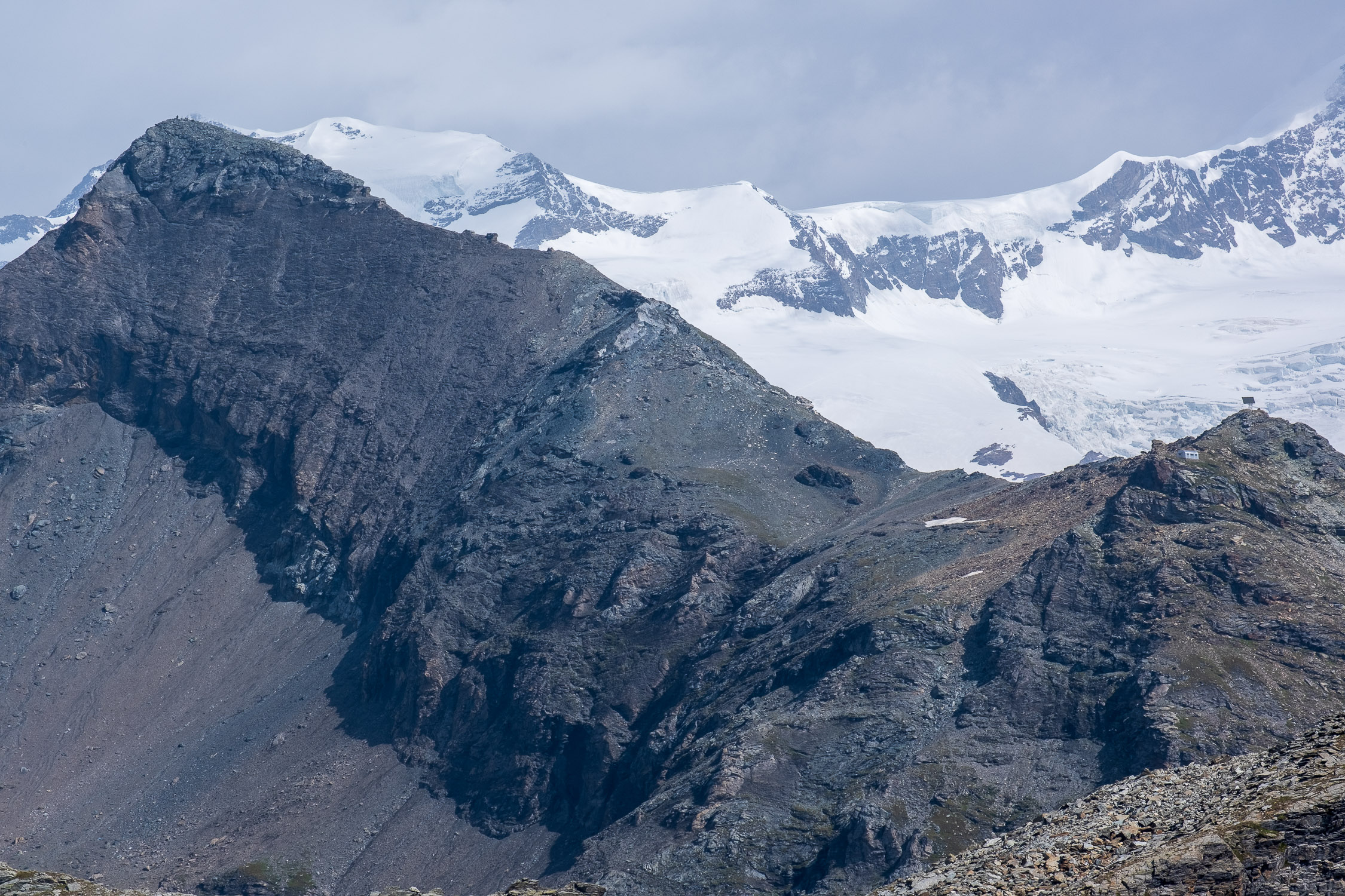
When you reach the top of Punta Valfredda, you have an excellent view of Mont Rose, the nearby Corno Vitello (reachable by trails 5A and 5B in sequence) and Testa Grigia (trail 6): from the Ayas side you can see the Valfredda lakes, the Palasina lakes, the Corno Bussola and, looking for it carefully because it is hidden by the slope, the very close Arp Hut (easily reachable from Colle Valnera). Looking south instead, one obviously identifies Punta Valnera and the Eclou pass (normally reached via Trail 4) and Mont Ciosé (which can be reached from the Ranzola Pass via an untracked route).
Be careful not to get confused: trail 5 passes through Colle Valnera and leads to Punta Valfredda, while trail 5A leads to Passo di Valfredda, but from there only Corno Vitello can be reached via 5B (and not, as one would be led to believe, Punta Valfredda: between Punta Valfredda and Colle Valfredda, although close, there are in fact no hiking trails).


 and the summit of Testa Grigia")


 and the summit of Testa Grigia")
, Palasina (background) and nearby Corno Bussola")
")

.")


")


, Palasina (background) and nearby Corno Bussola")

