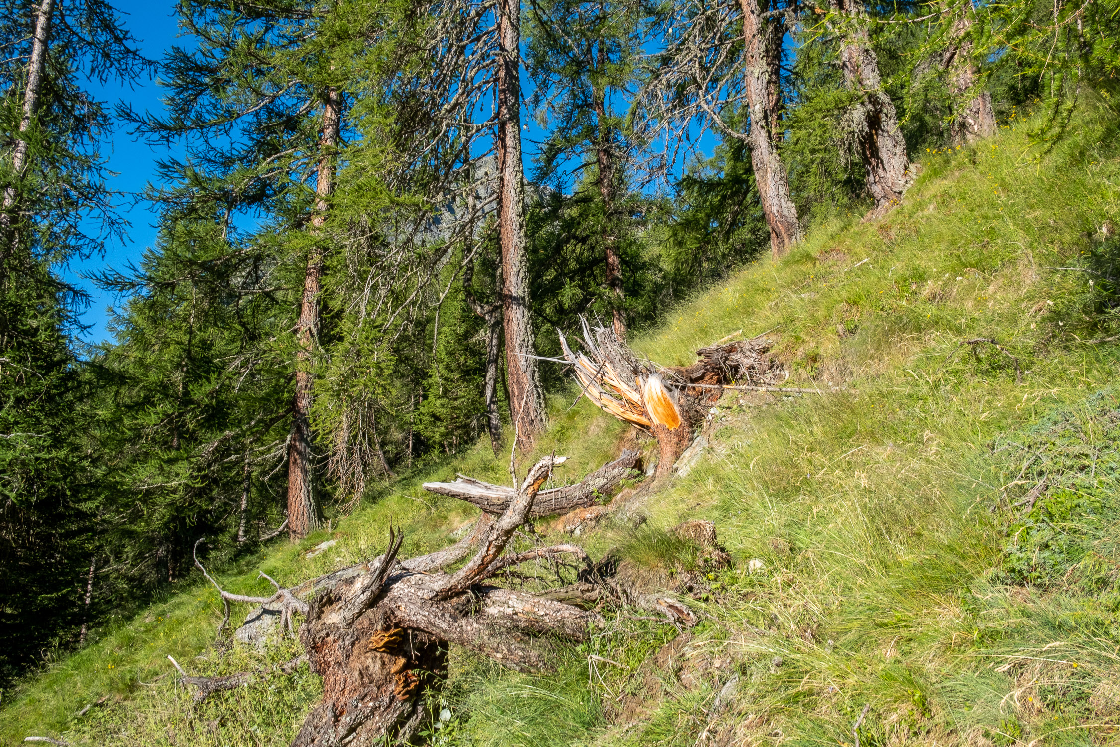
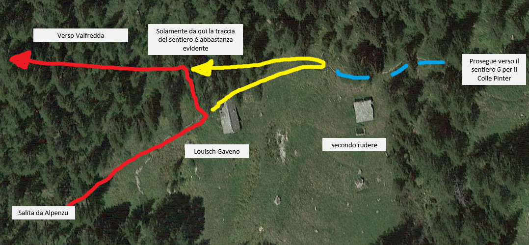
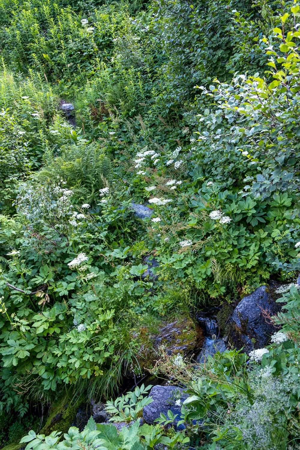
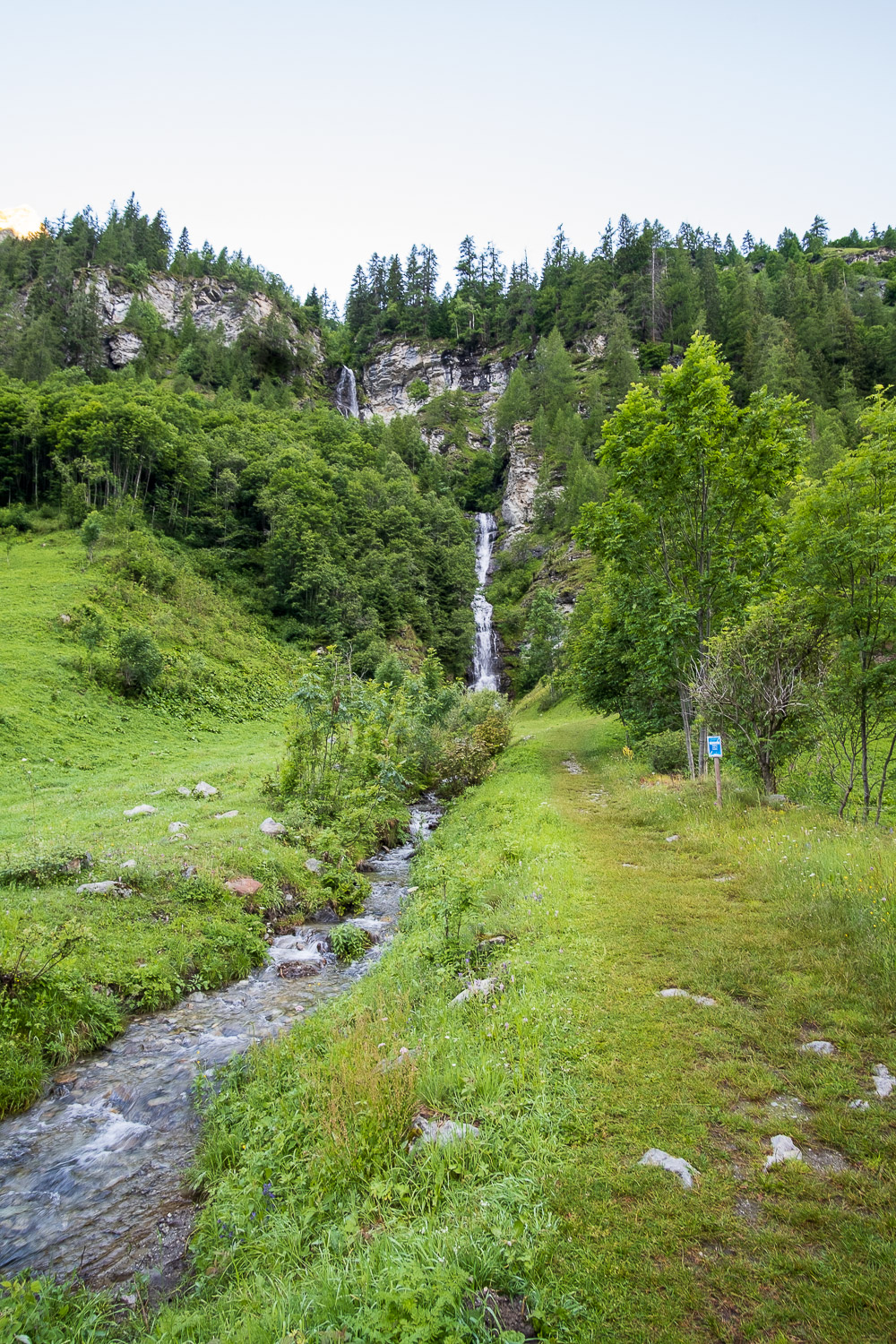
Past this crucial point, the rest of the trail is well marked almost to the end. After finishing the forest, the trail passes through low rhododendron bushes, and arrives at the lookout of the first (unnamed) stream at about 2044 meters. This ford occurs in an area where the vegetation is really thick, and you have to be careful where you step.
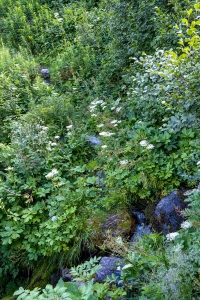
The ford of the first creek
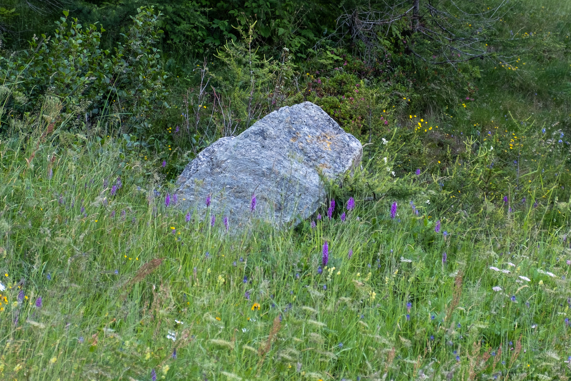
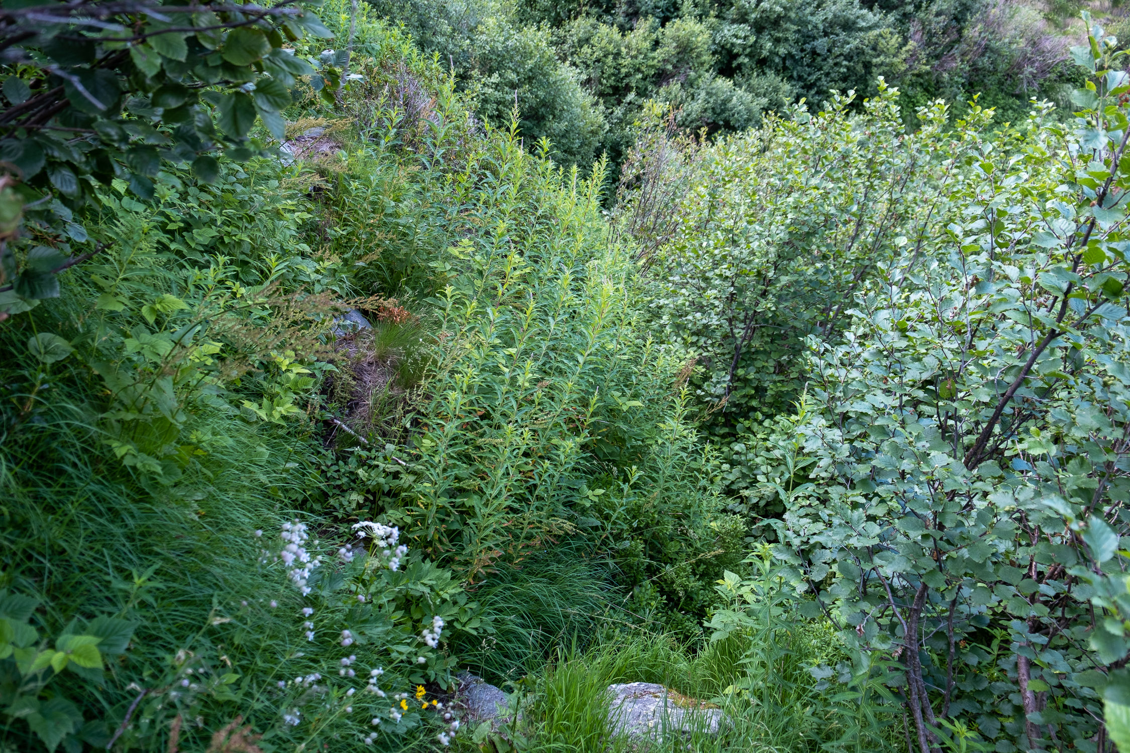
Pay close attention to the large boulder just fording the stream, which you must go around on the right: on the way back, when you are approaching the ford on the other side, you will tend NOT to remember this passage, and thus continue straight ahead. If you do this, you will find yourself at a point where you are literally swamped by vegetation, and it is impossible to continue.
In the photo below, taken on the way back, you can see to the upper left the boulder to the left of which you must pass, and to the right the opening that appears to be a continuation of the trail, but actually leads to nowhere.
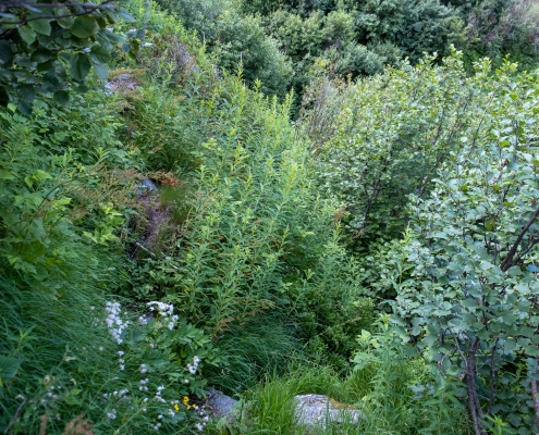
The ford on the way back
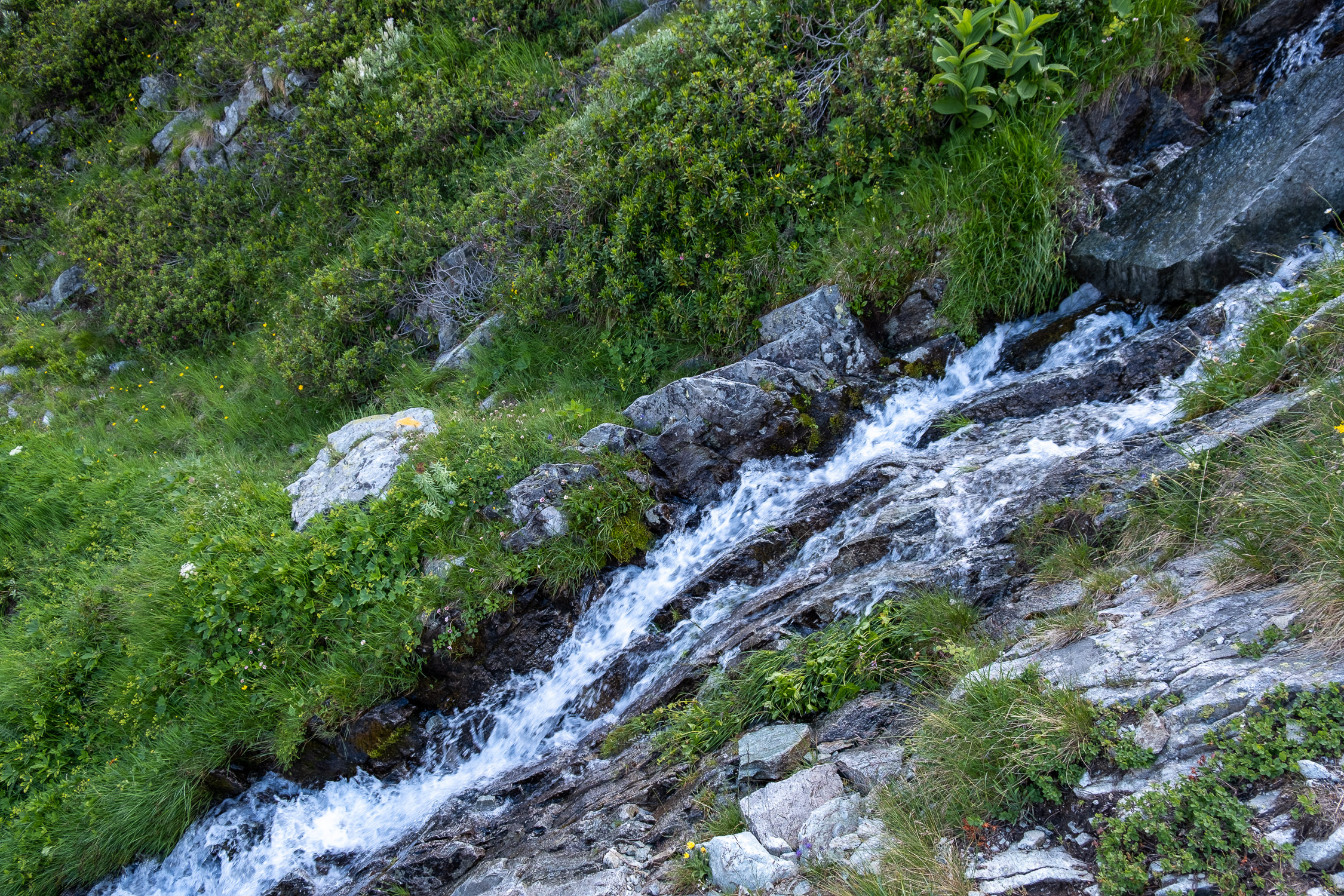
After passing the first ford, it climbs up to ford a second stream (the Abetzbach) at about 2260m. This ford does not present any particular difficulty, except that sometimes (depending on the flow of the stream) the step to ford without putting the boot in the water could be quite long…

The ford of the Abetzbach stream
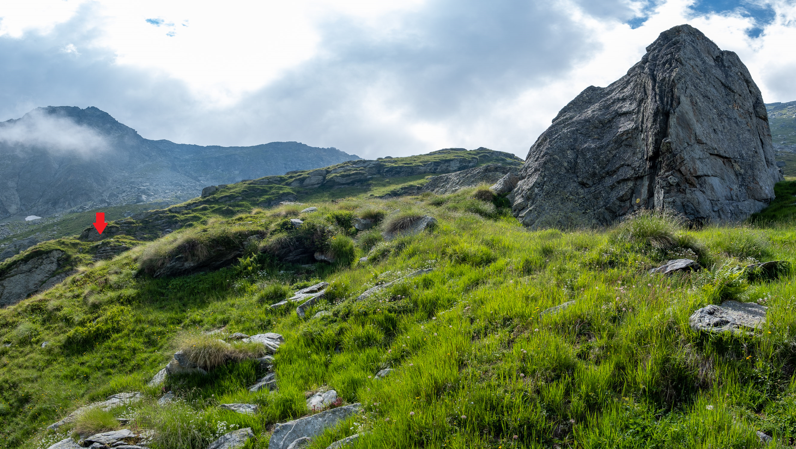
The trail climbs again and passes a first change of slope at 2360m . Once past this change in slope you will be faced with a huge boulder: the trail goes around it on the left, after which the trail becomes uncertain again. Here you have to be careful, because you would be led to continue climbing: in fact the trail continues on the left almost level, if you look carefully you will in fact see some yellow bolts not far away. In the photo below, the arrow indicates the location of the vignette to be reached after passing the large boulder in the foreground on the left.
The boulder to be bypassed on the left at 2360m
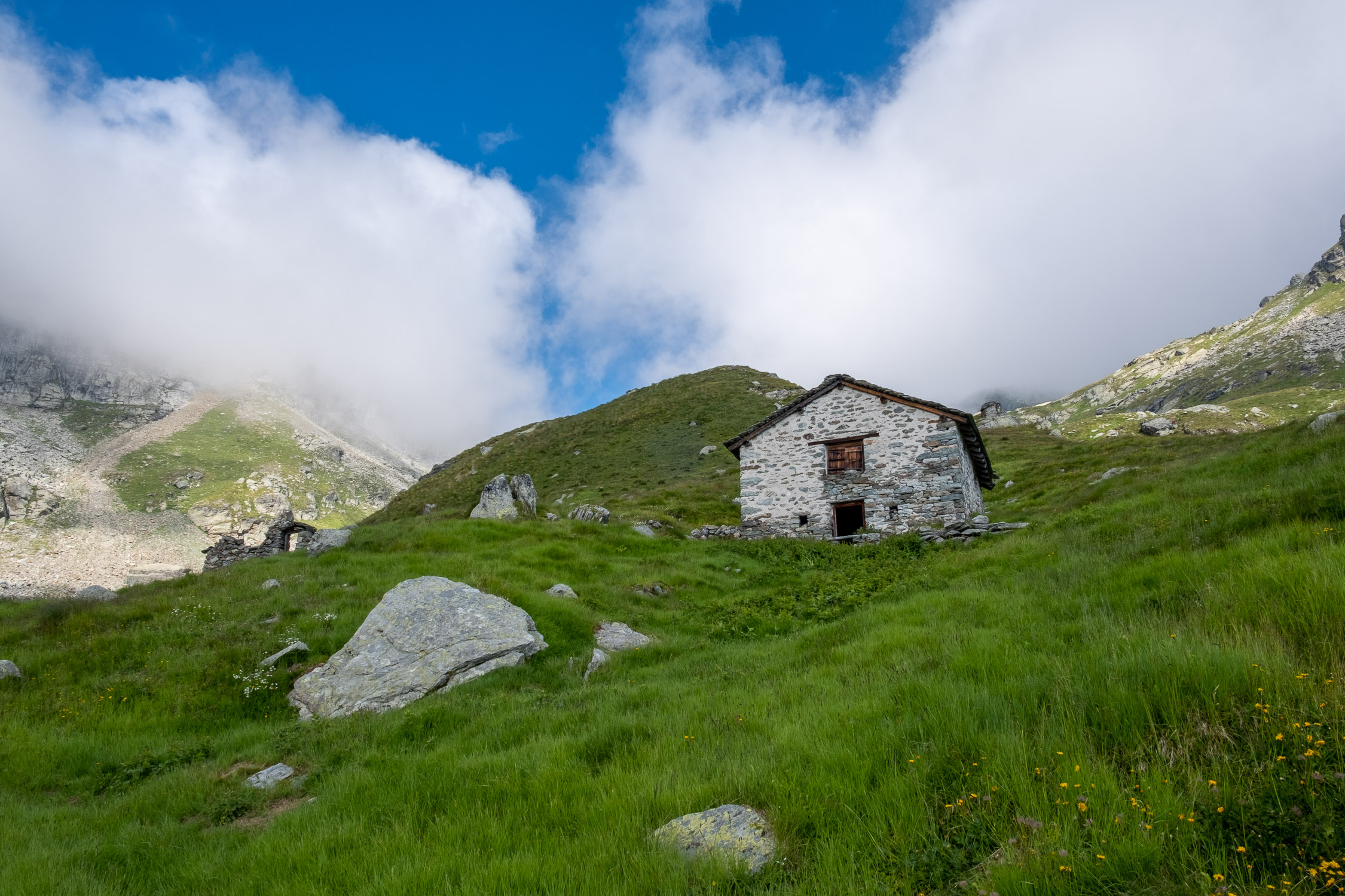
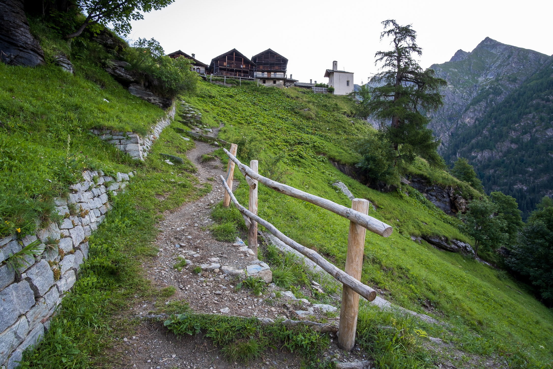
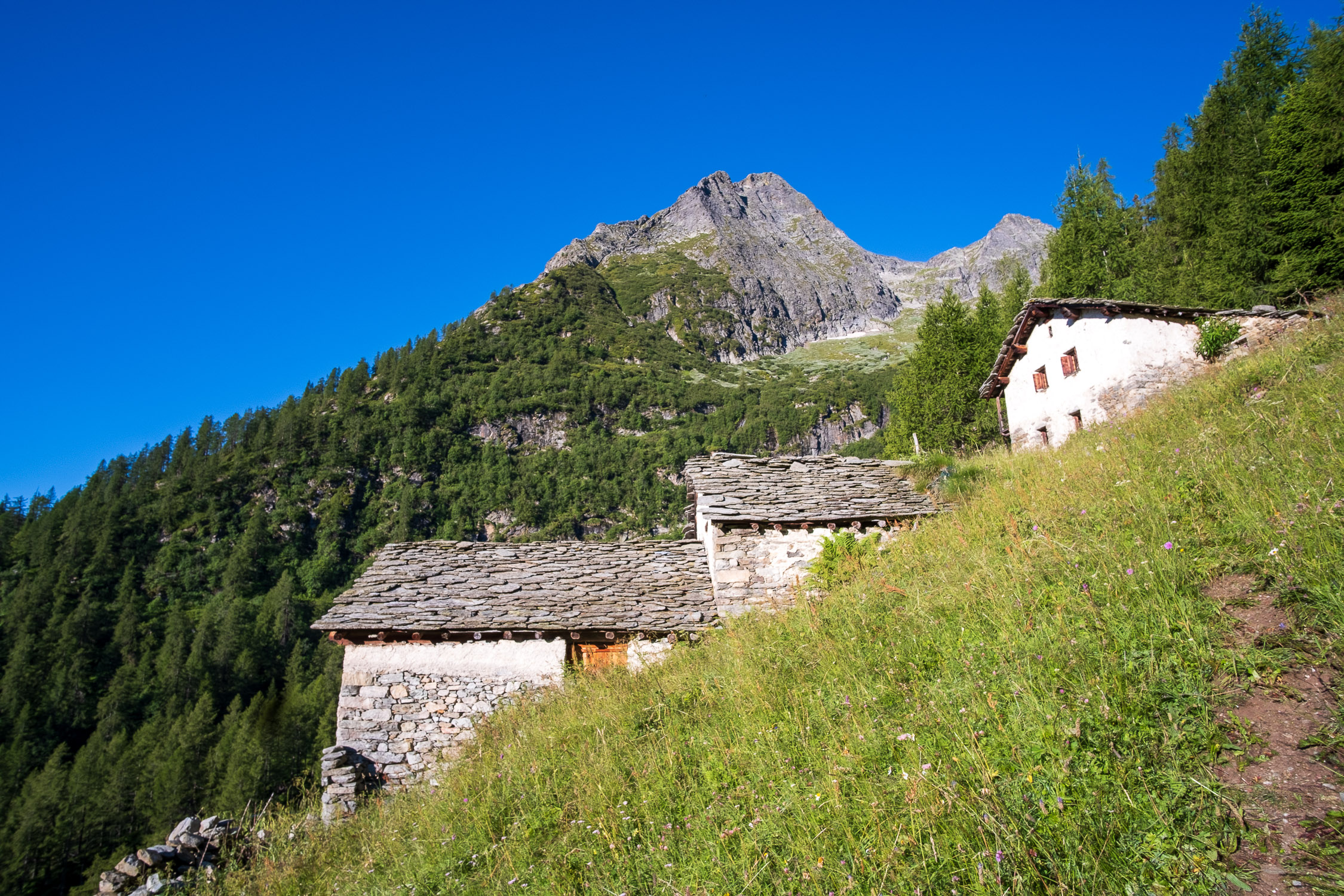
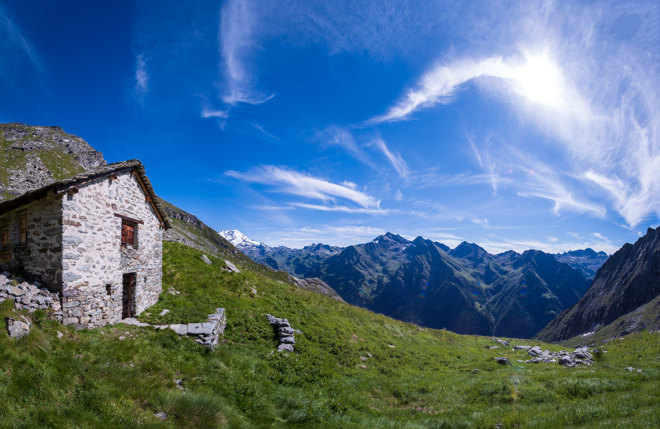
At about 2450m you pass a second change of slope, beyond which the very close huts of Valfredda (2478m) suddenly appear (one in very good condition, a second practically destroyed).
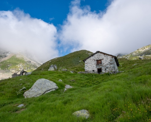
The lodges of Valfredda, 2478m
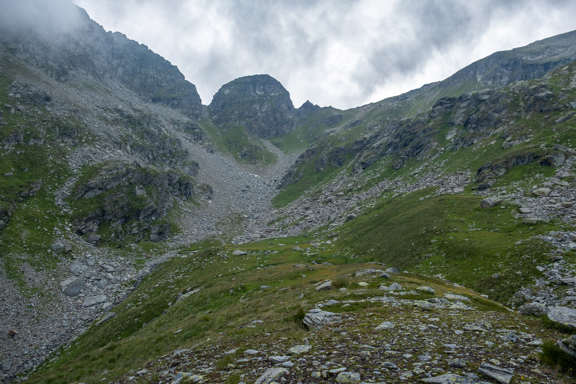
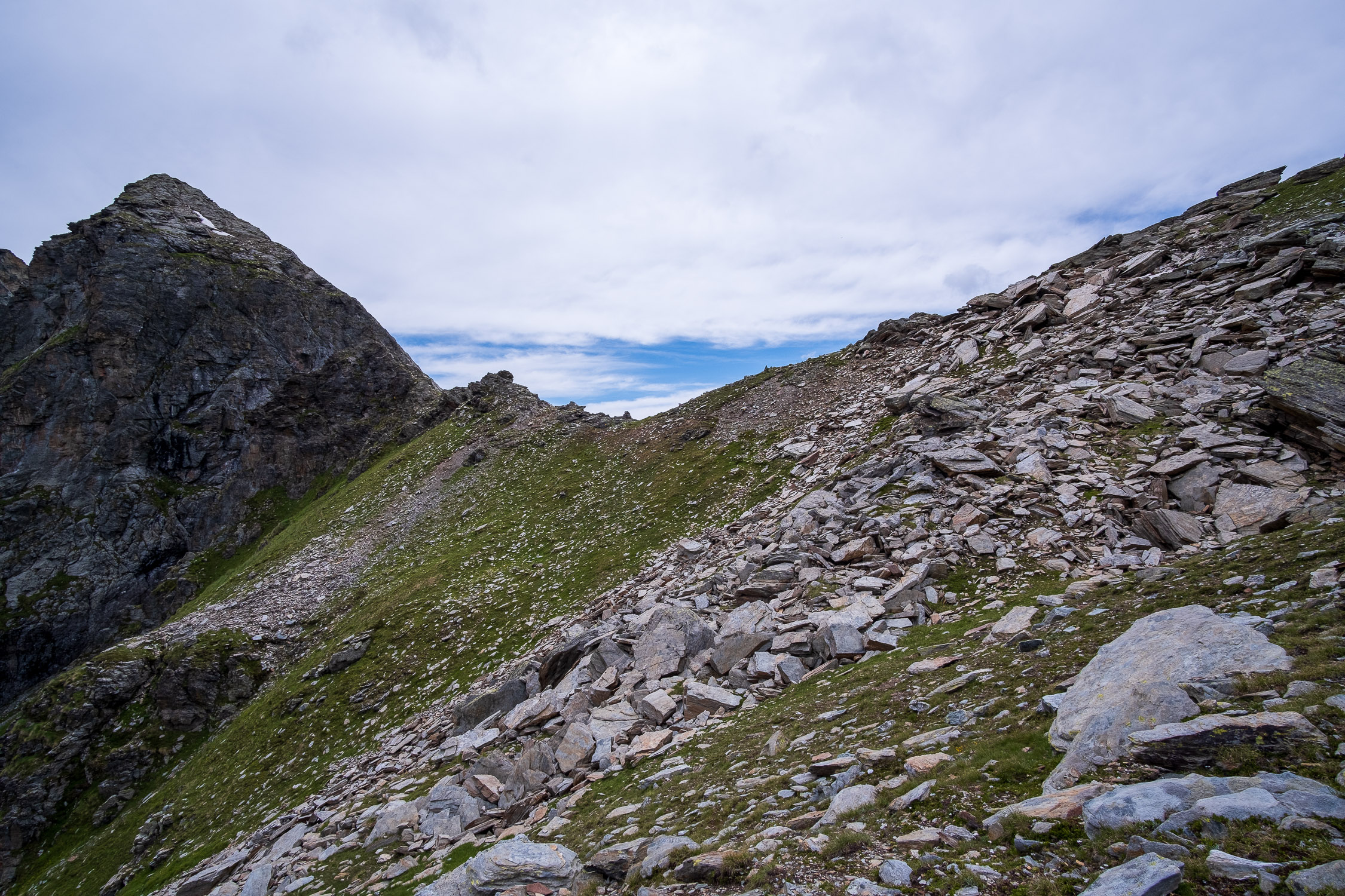
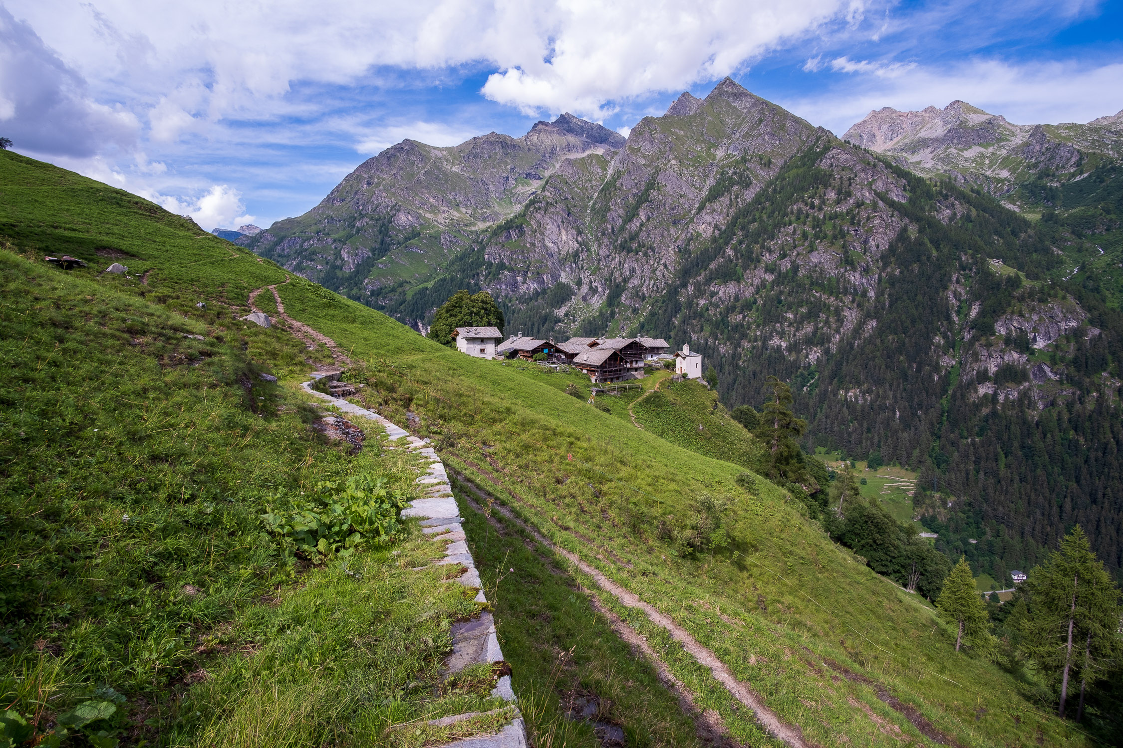
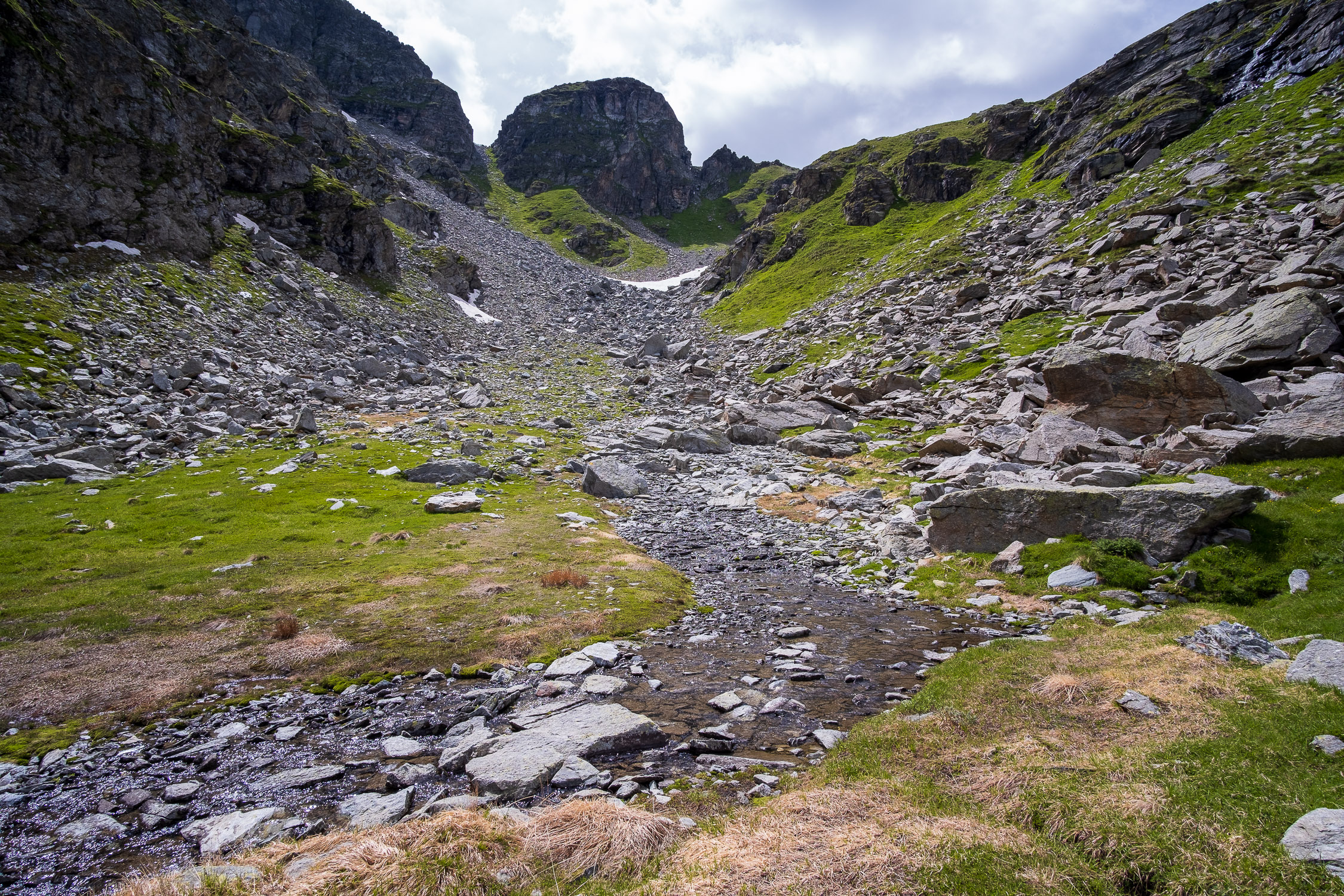
The trail passes to the right of the huts and climbs the shoulder above, past which is a small valley preceded by a stream (the Valfredda stream). Valfredda Pass is finally in view; in the photo below it is to the right of the central rock formation.
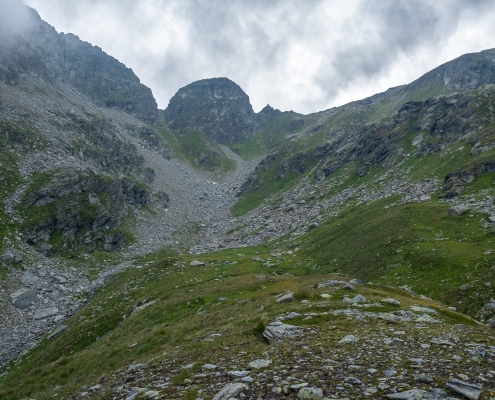
The final valloncello (June 2022)
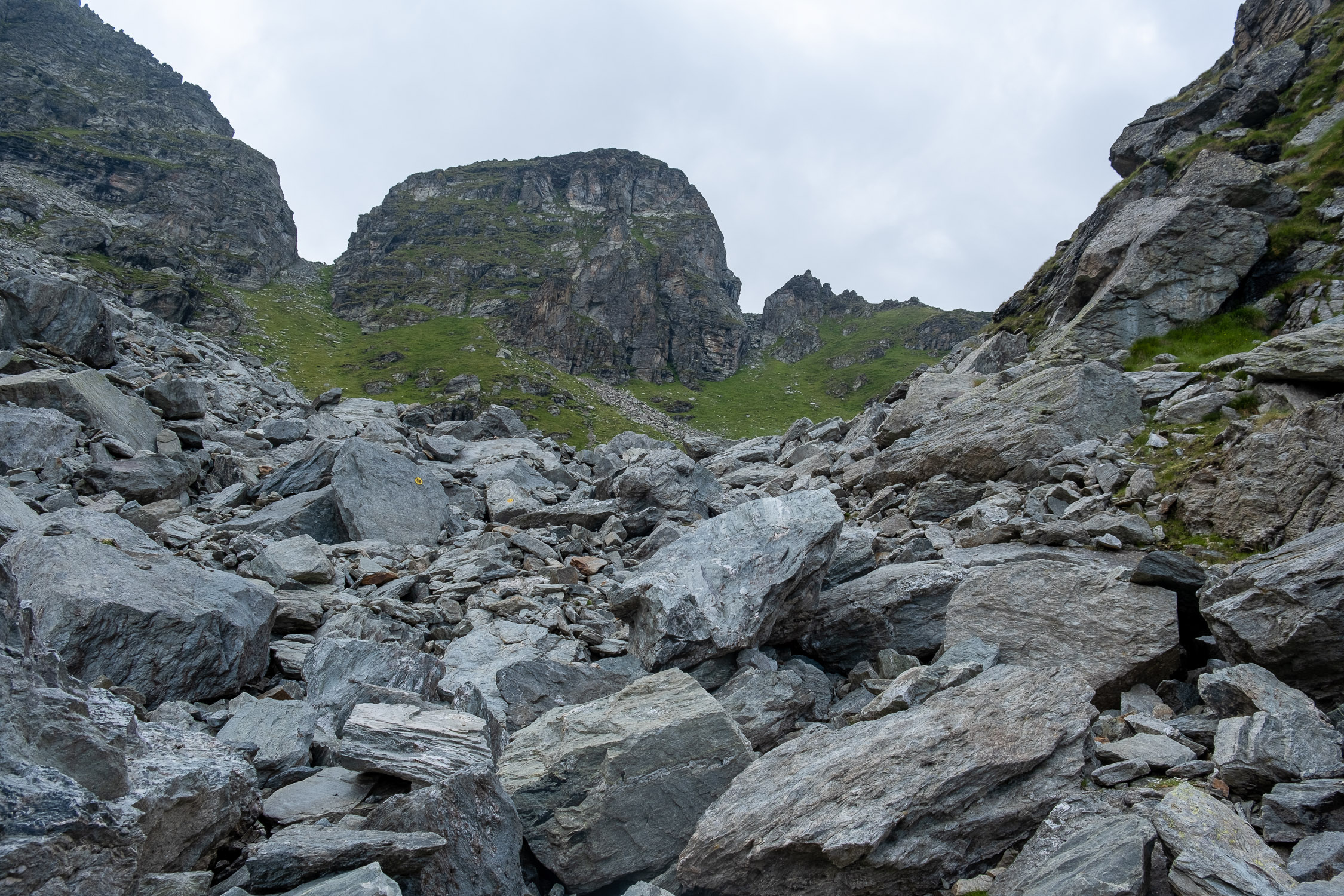
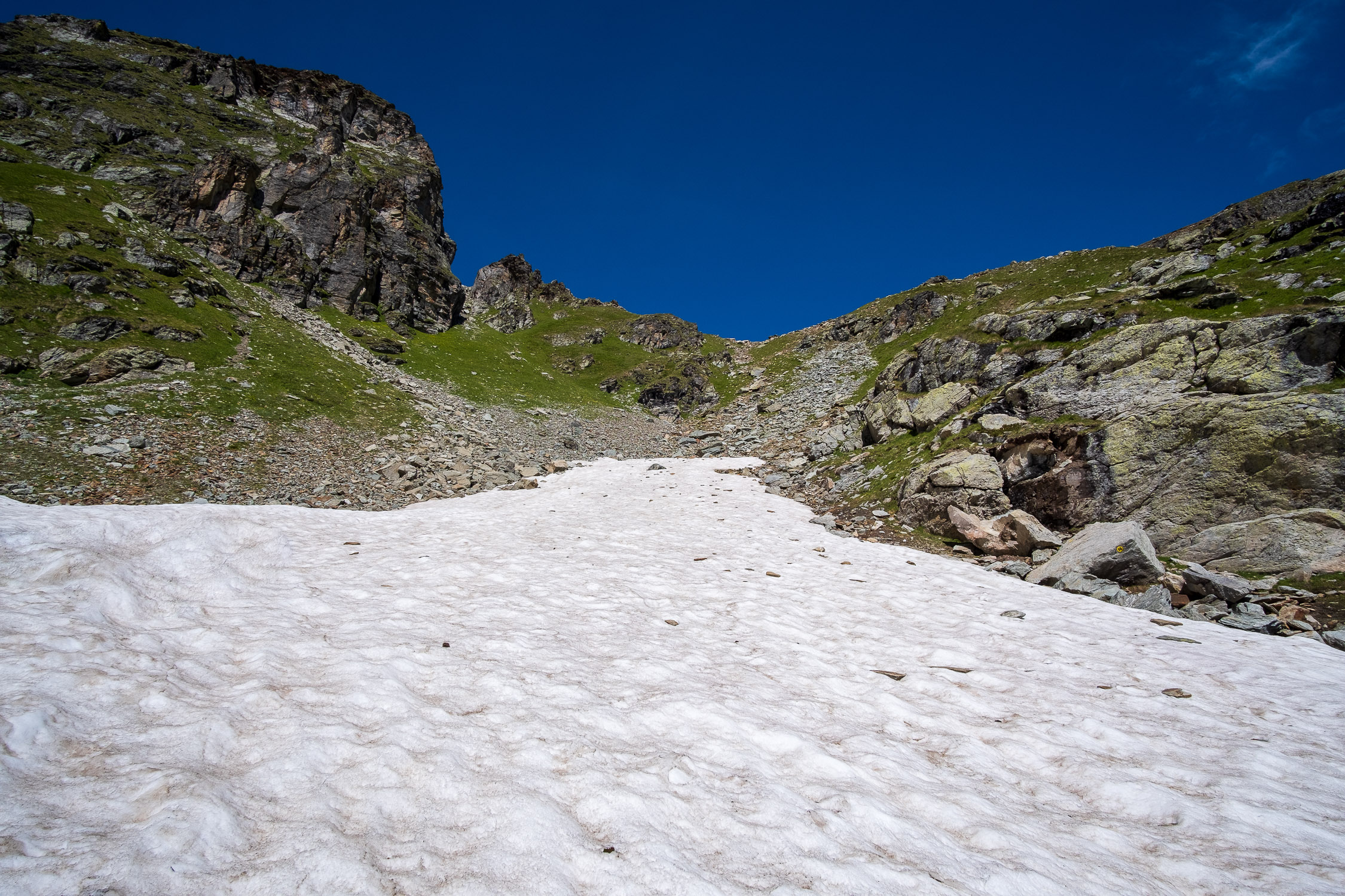
You descend into the small valley, easily cross the stream and cross the soft meadow leading to the scree. Up close one realizes that the boulders are really gigantic, and if there were not the frequent yellow markers to indicate the road, crossing it would take a lot of time.
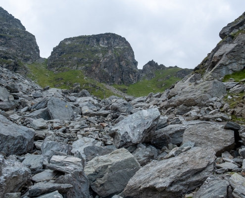
The stony ground
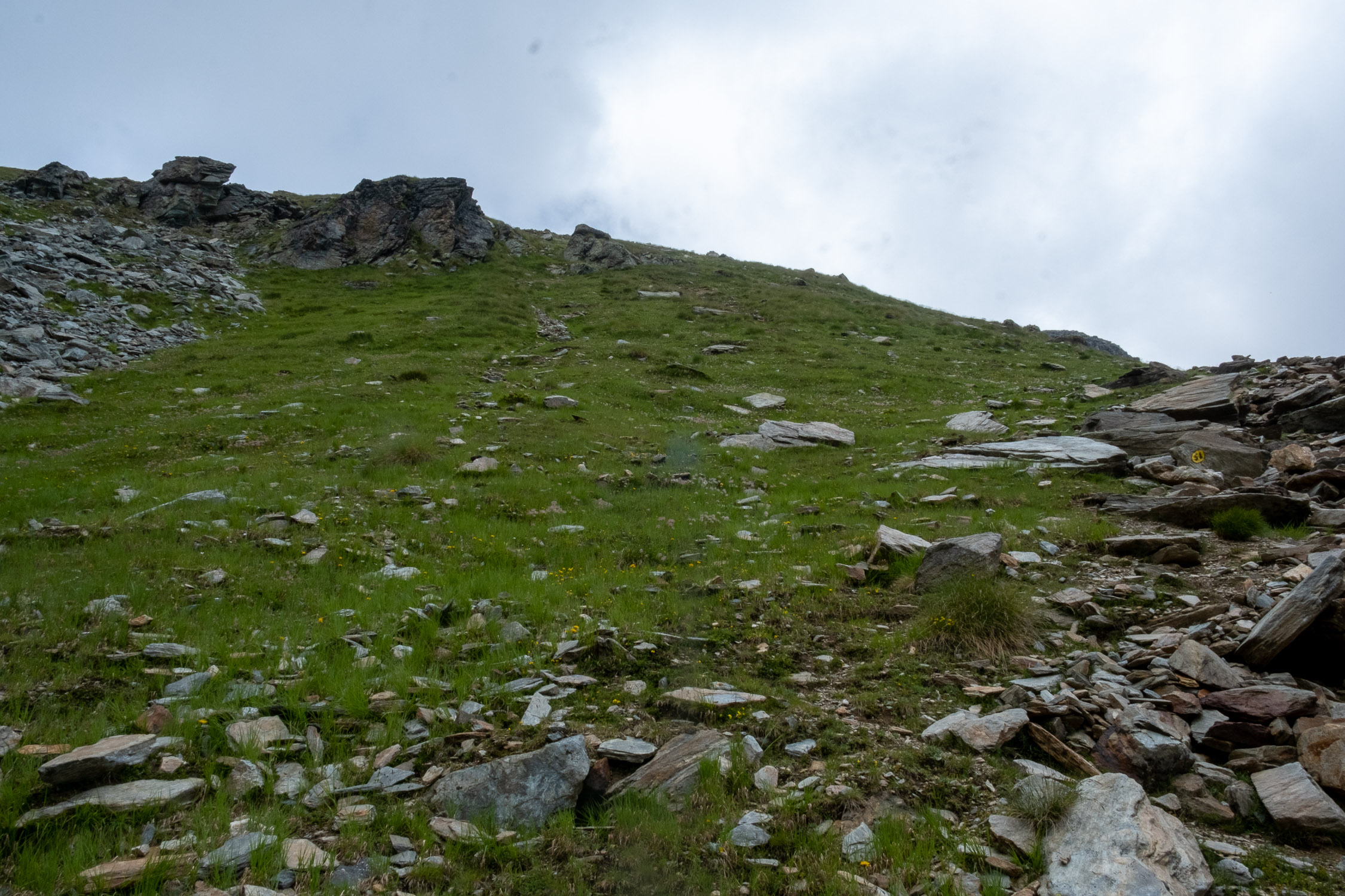
Past the scree, the trail shifts to the right, along the separation between rocks and grass, until it climbs up toward the green scrub seen in the photo below.

the trail goes up to the green scrub on the right
Reaching the right bush, we are about 2740m. The trail climbs to the left in the direction of the maximum incline, and this is the second section where you will have to struggle, because the slope is quite steep and there are a few yellow bolts quite far apart and trail marks practically nonexistent.
Either you follow the GPX track on your cell phone, or you make up your own route having the goal of climbing as high as possible, along the vertical.
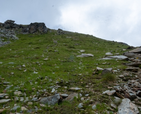
The slope that you have to climb, without a trail, following the sparse yellow bolts
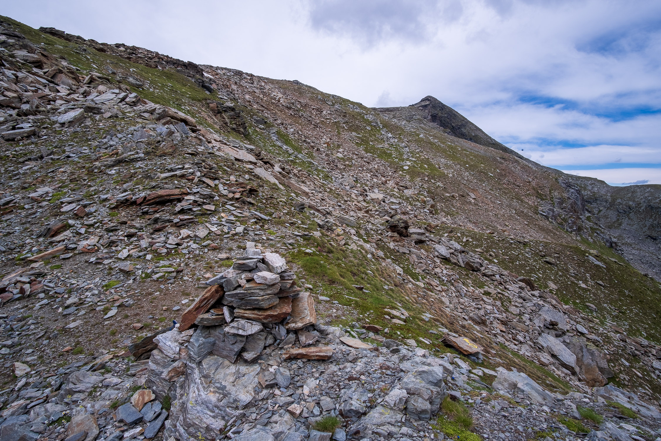
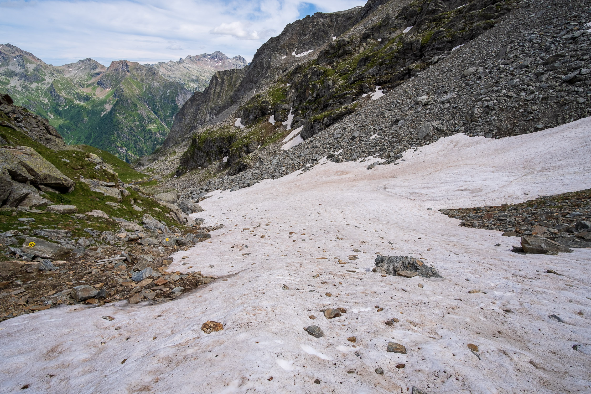
However, the stretch is quite short, it is about 80m of elevation gain. Once past this last change of slope, the trail becomes visible again: it cuts almost horizontally from right to left across a last scree…
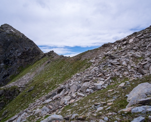
Here are the last few meters before the pass, identifiable by the cairn seen in the distance
…and we finally arrive at Valfredda pass (2807m).
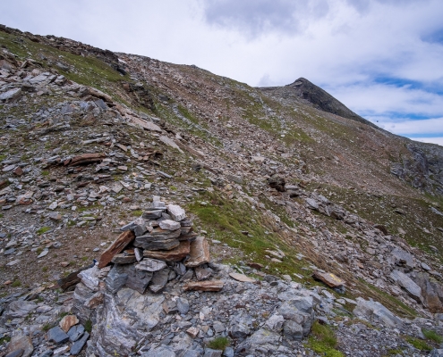
Cairn at Valfredda Pass
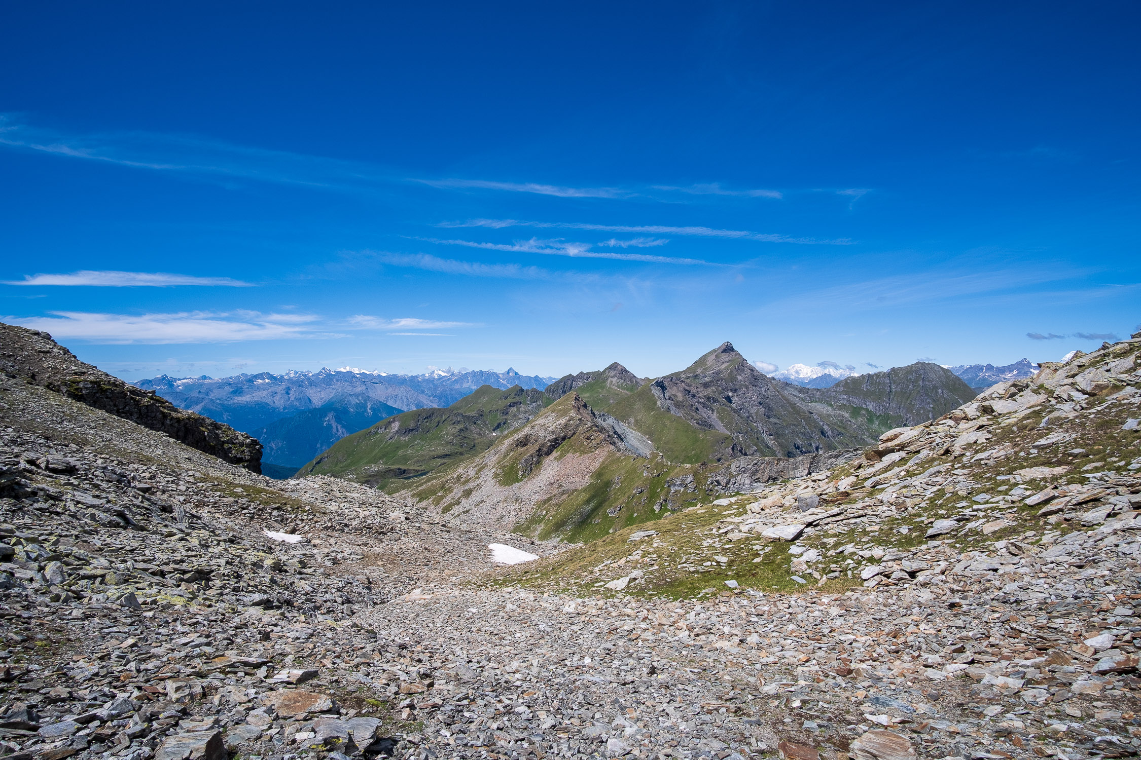
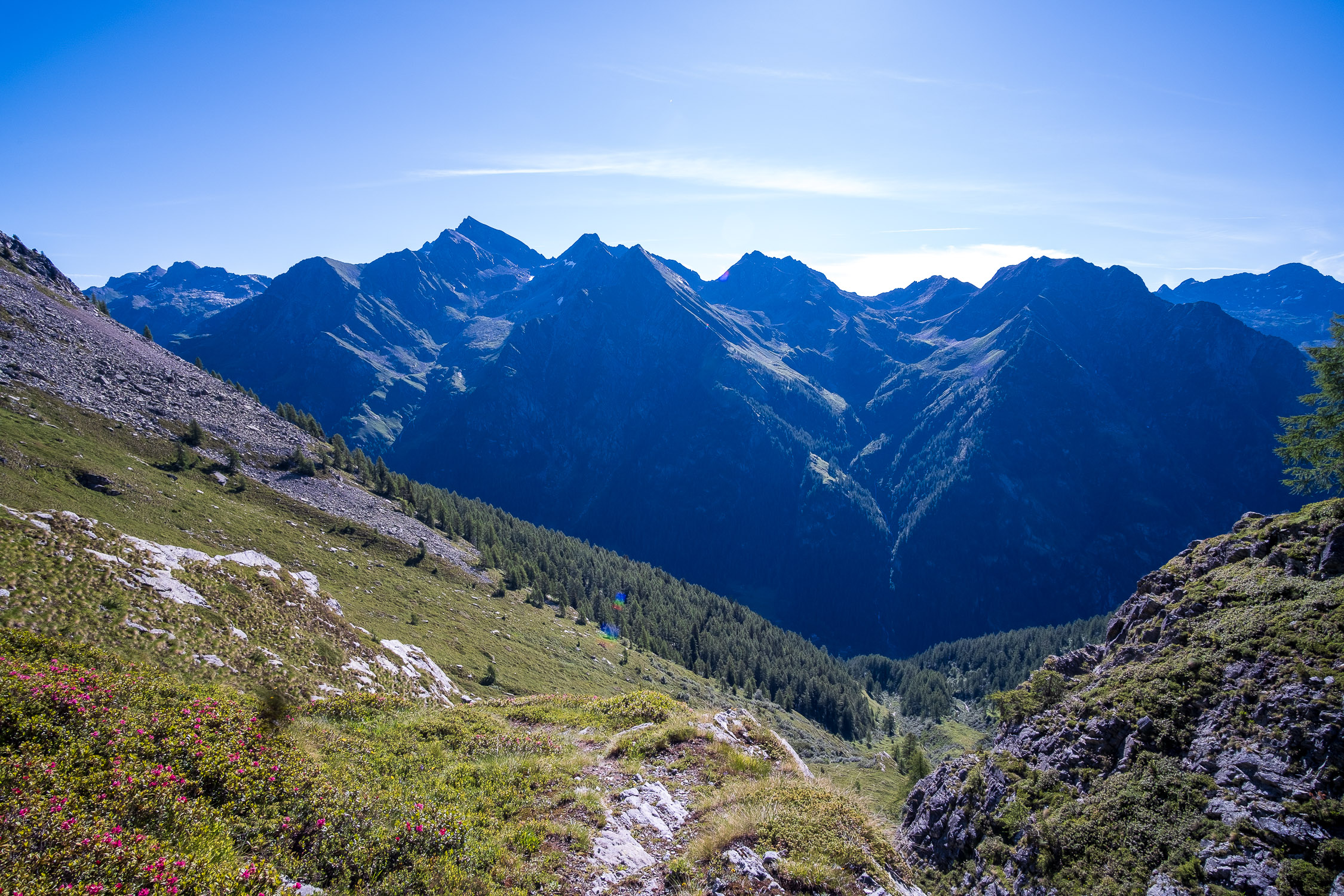
The pass is not exactly scenic toward the Gressoney valley, as the view is closed to the small valley that you have just passed.
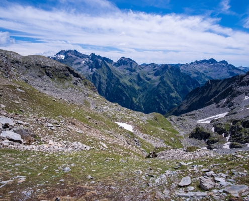
From Valfredda pass, looking toward the valley of the Lys
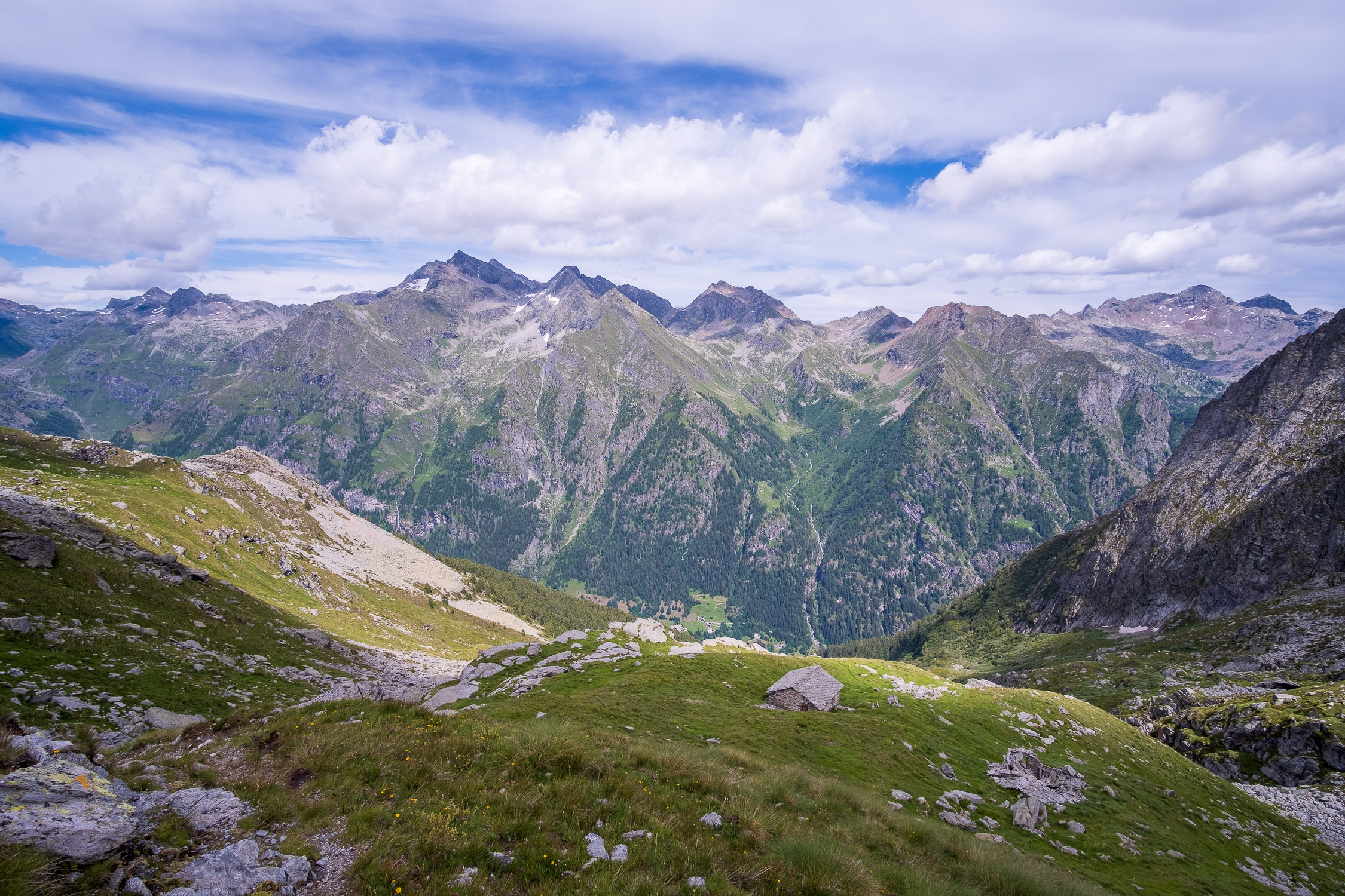
Looking toward Val D’Ayas, the ridge with Punta Palasina and the famous Corno Bussola can be seen.
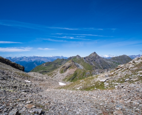
From Valfredda pass, looking toward the Ayas Valley. The Compass Horn towers in the foreground.
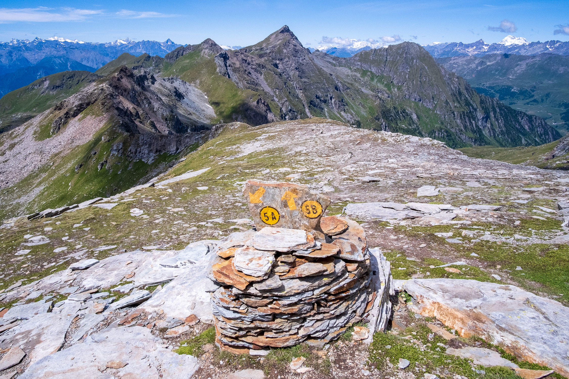
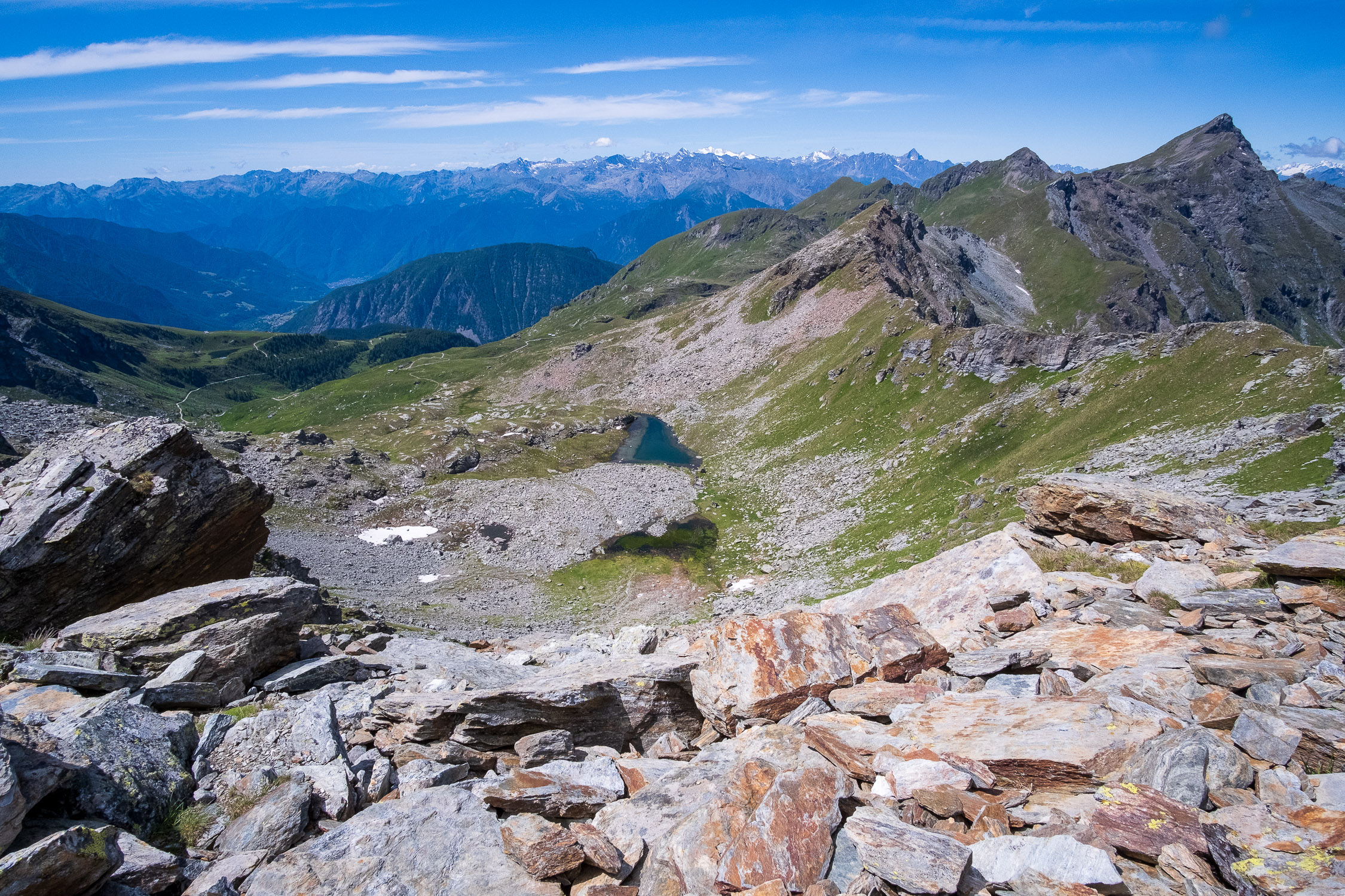
If you want to continue towards the Corno Vitello, continue on the trail for about 300 meters until you meet the junction of Trail 5A and Trail 5B. From here, follow the directions for Trail 5B on the dedicated page. Continuing at least as far as the fork in the road, one can see, looking east toward Val D’Ayas, the Valfredda lakes and, in the background, Gran Paradiso and Mont Blanc divided by the nearest Corno Bussola.


