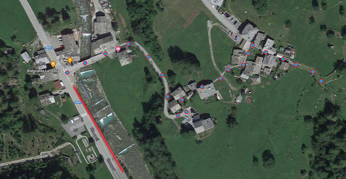
Trail 12, just after leaving the hamlet of Lomatto, climbs for a long, well-paved stretch with a constant direction, with virtually no turns…
…until you reach the bridge over Loo Creek (recently rebuilt after the 2020 cloudburst that destroyed the old one, the remains of which are still visible just below).

Bridge over the Loo River
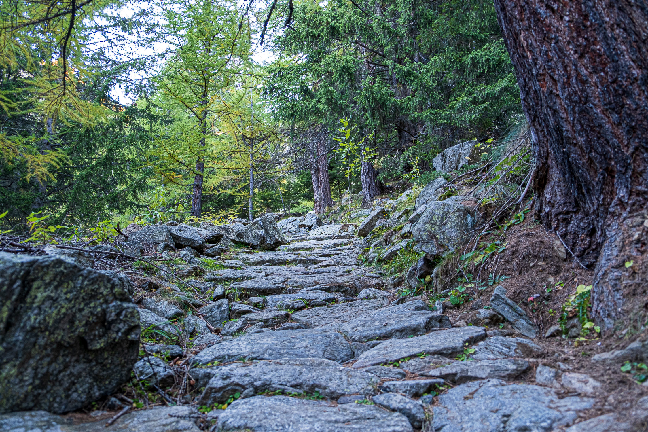
Past the bridge, the trail turns left and climbs up following the course of the stream. At about 1,700 meters, you pass a curious and very sturdy scenic lay-by, with a table and two benches that are safe from… typhoons!

Panoramic table
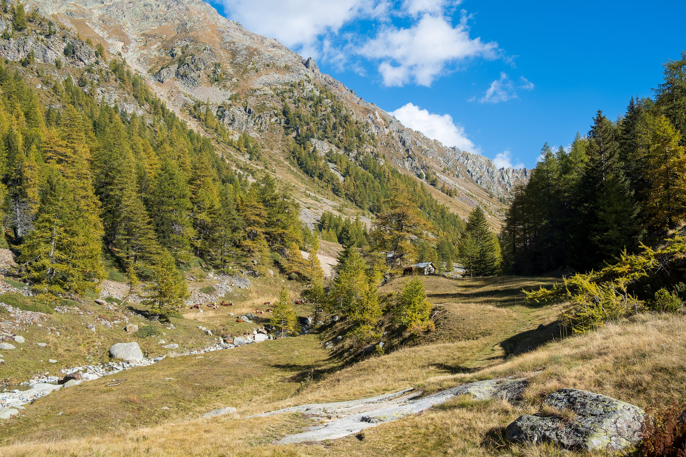
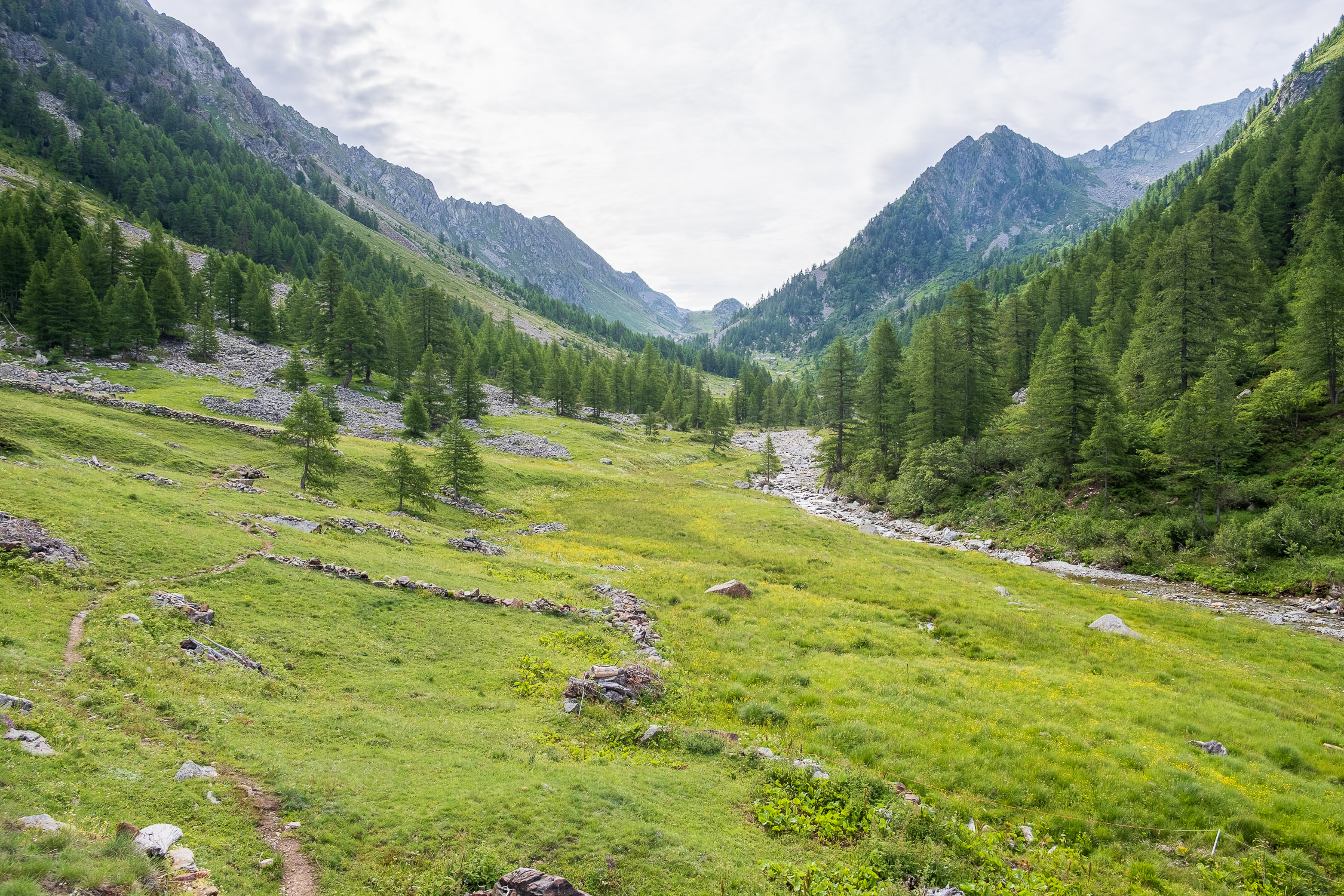
A few meters beyond the lay-by the valley step (the steepest part of the trail) ends, and we finally enter the upper Loo valley: at 1850 meters a bridge makes us cross the stream on the left where we arrive at the first nucleus of lower Loo, consisting of several scattered huts.

Lower loo
For a fair distance the trail passes between beautiful dry stone walls that bordered pastures.

The dry stone wall that runs along a long section of the trail
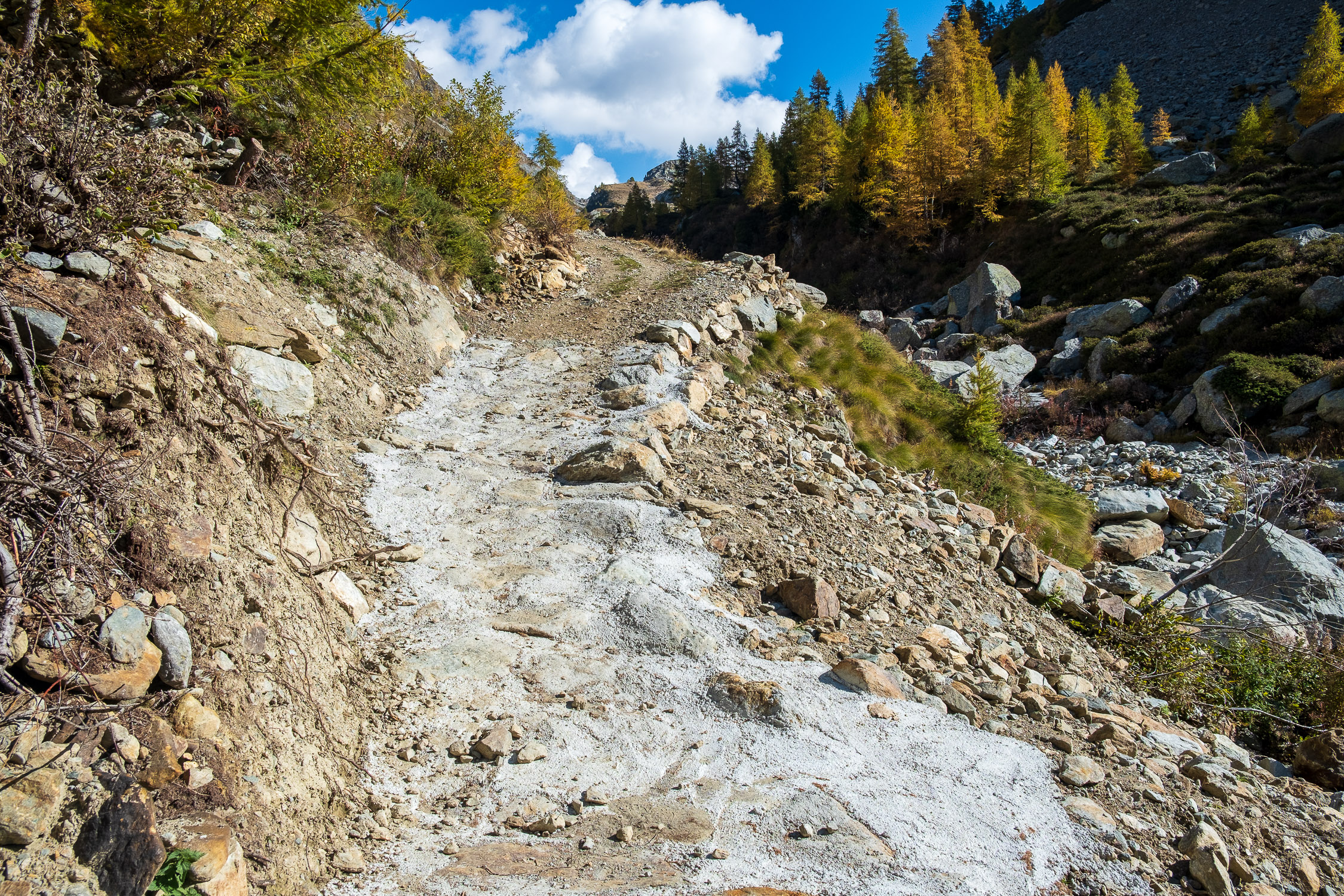
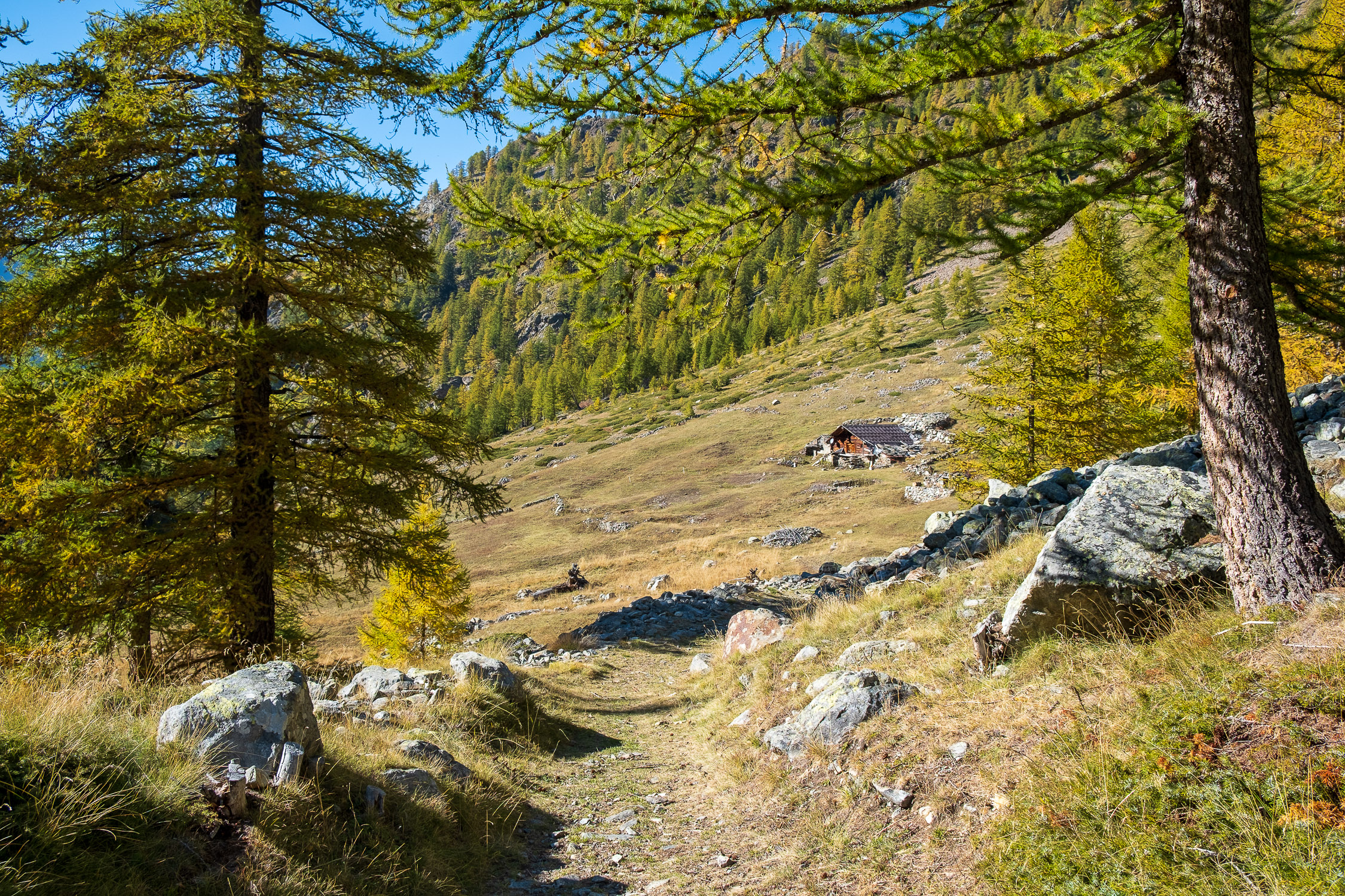
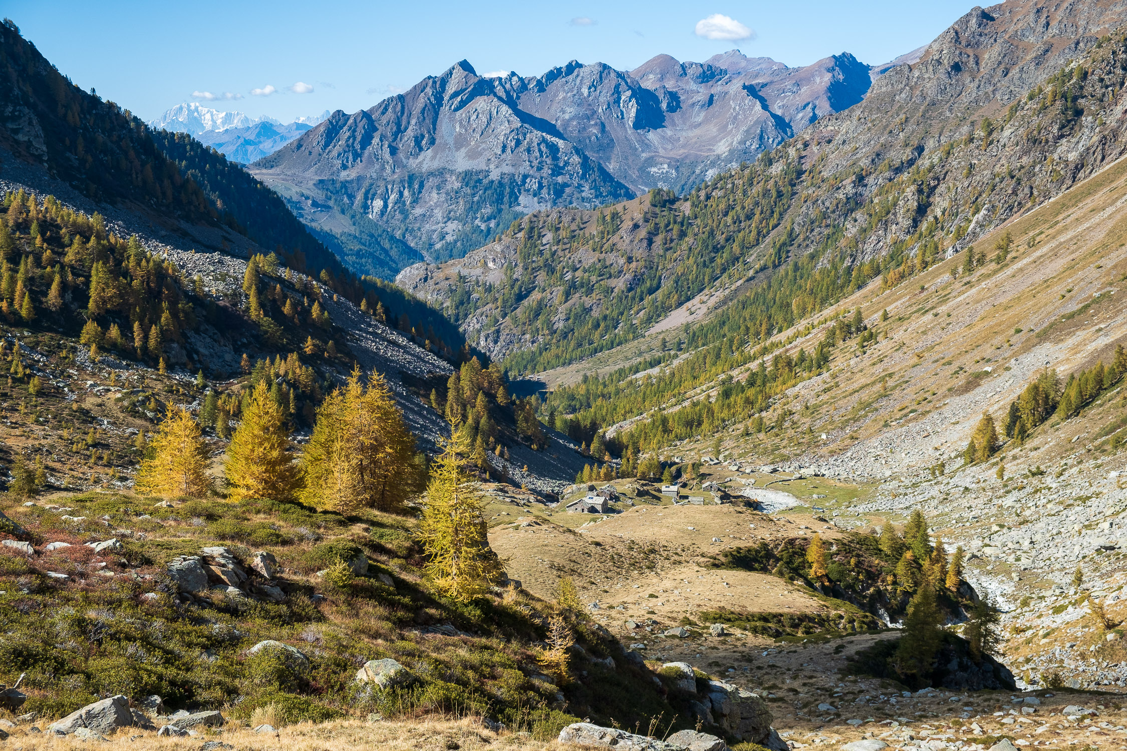
The trail from here onwards is always in the open: after Lower Loo, at 1880m you will pass the few huts of Lower Bodma and Upper Bodma, after which at 1950m you will cross a small patch of trees, and walk on the remnants of the various landslides caused by the 2020 cloudburst, from here onwards very evident.
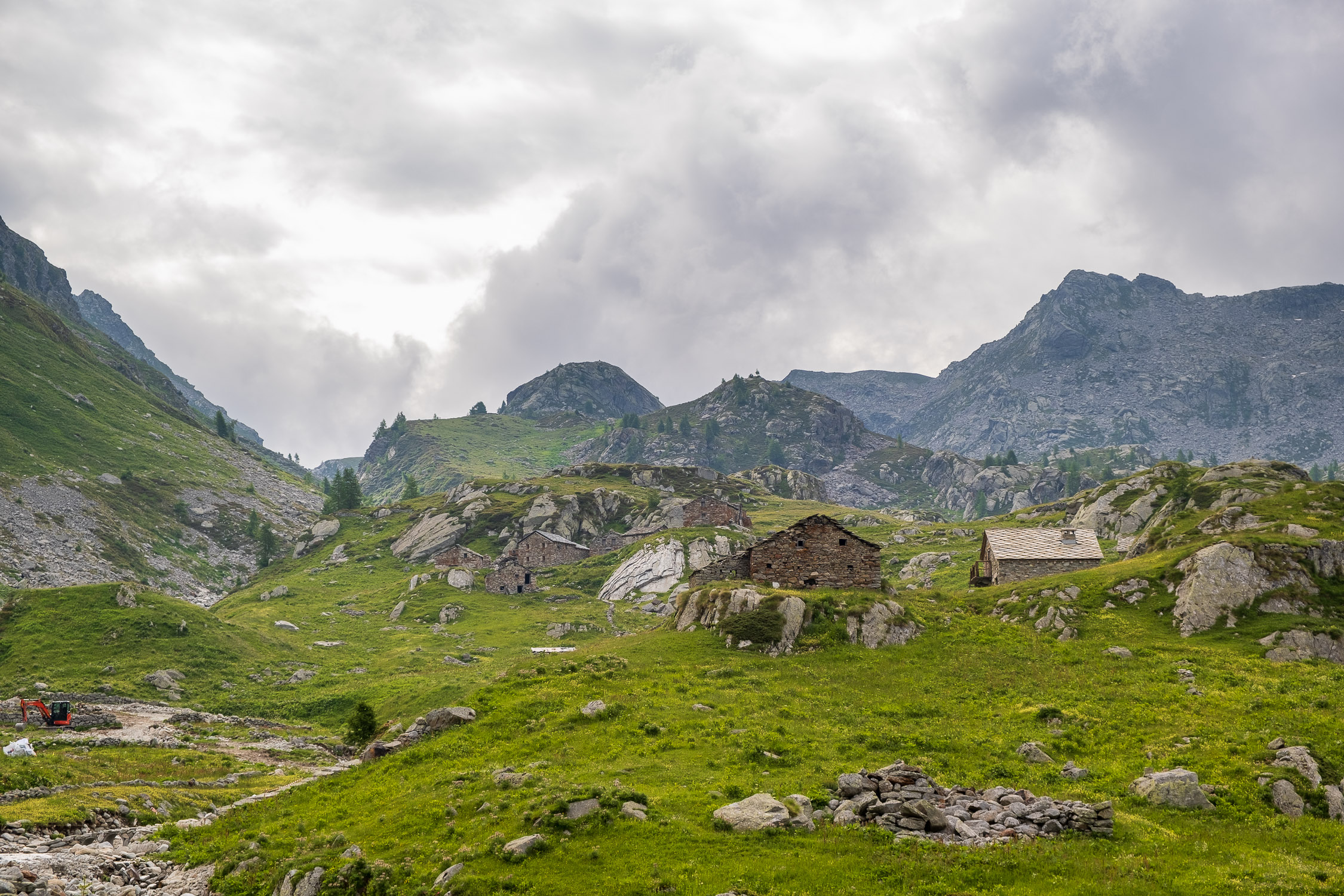
At 2040 meters you cross the stream again to the right and arrive at the larger nucleus of Upper Loo (Ober Lòò), immediately at the mouth of which on the left is the small Loo Chapel from 1682 where, on August 10 each year, a mass is celebrated there for the feast of St. Lawrence.

Loo Chapel in Upper Loo
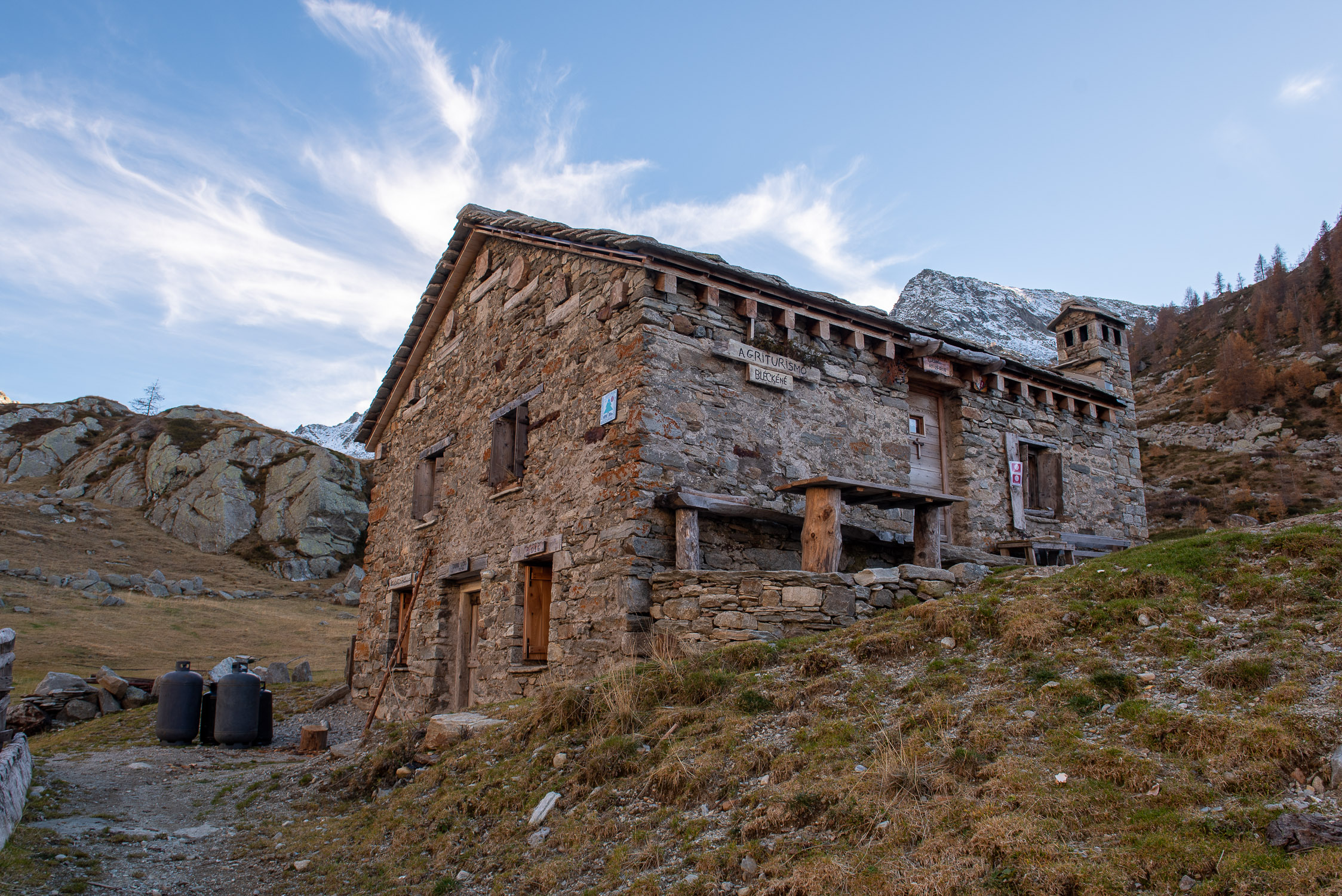
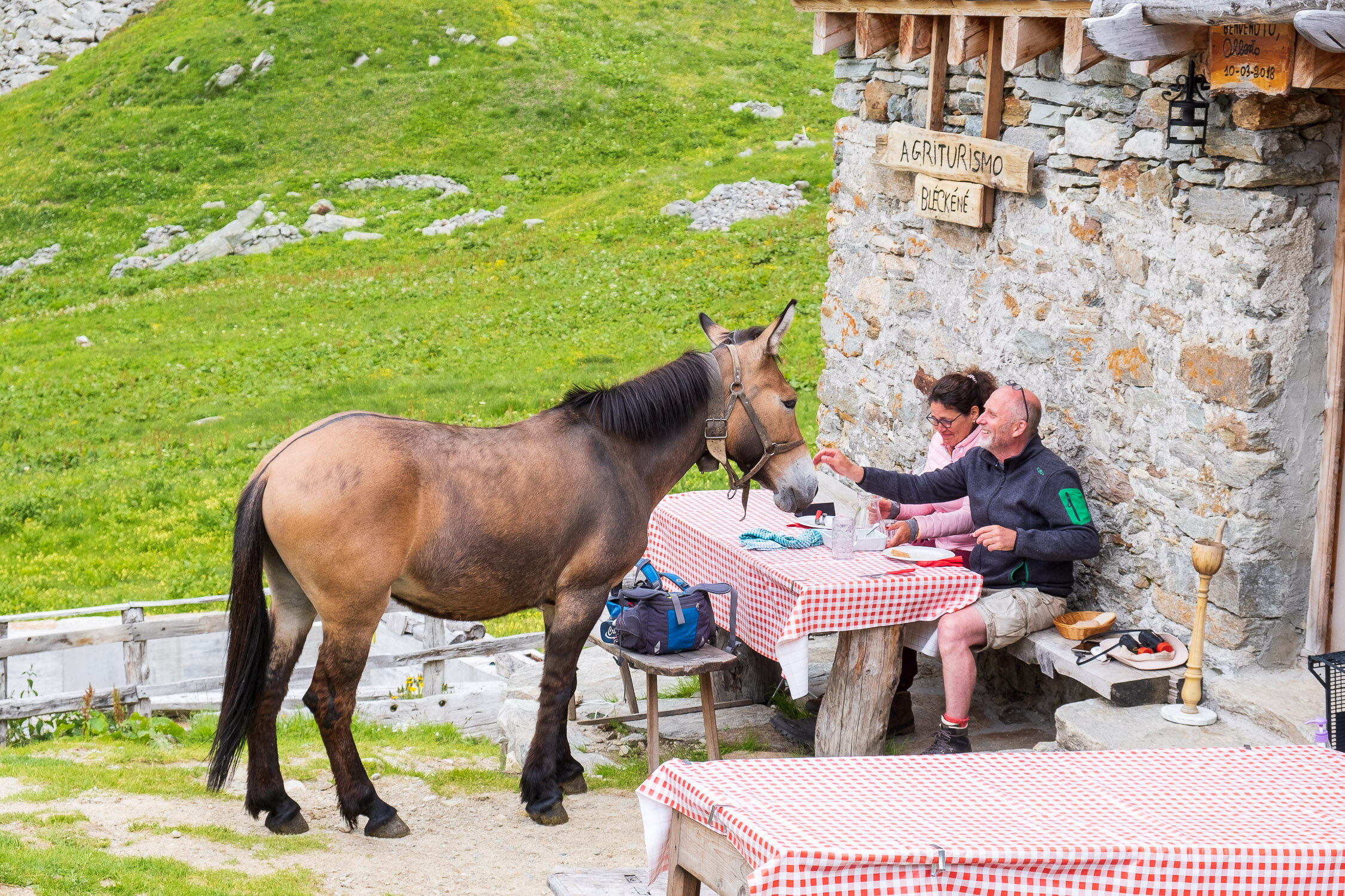
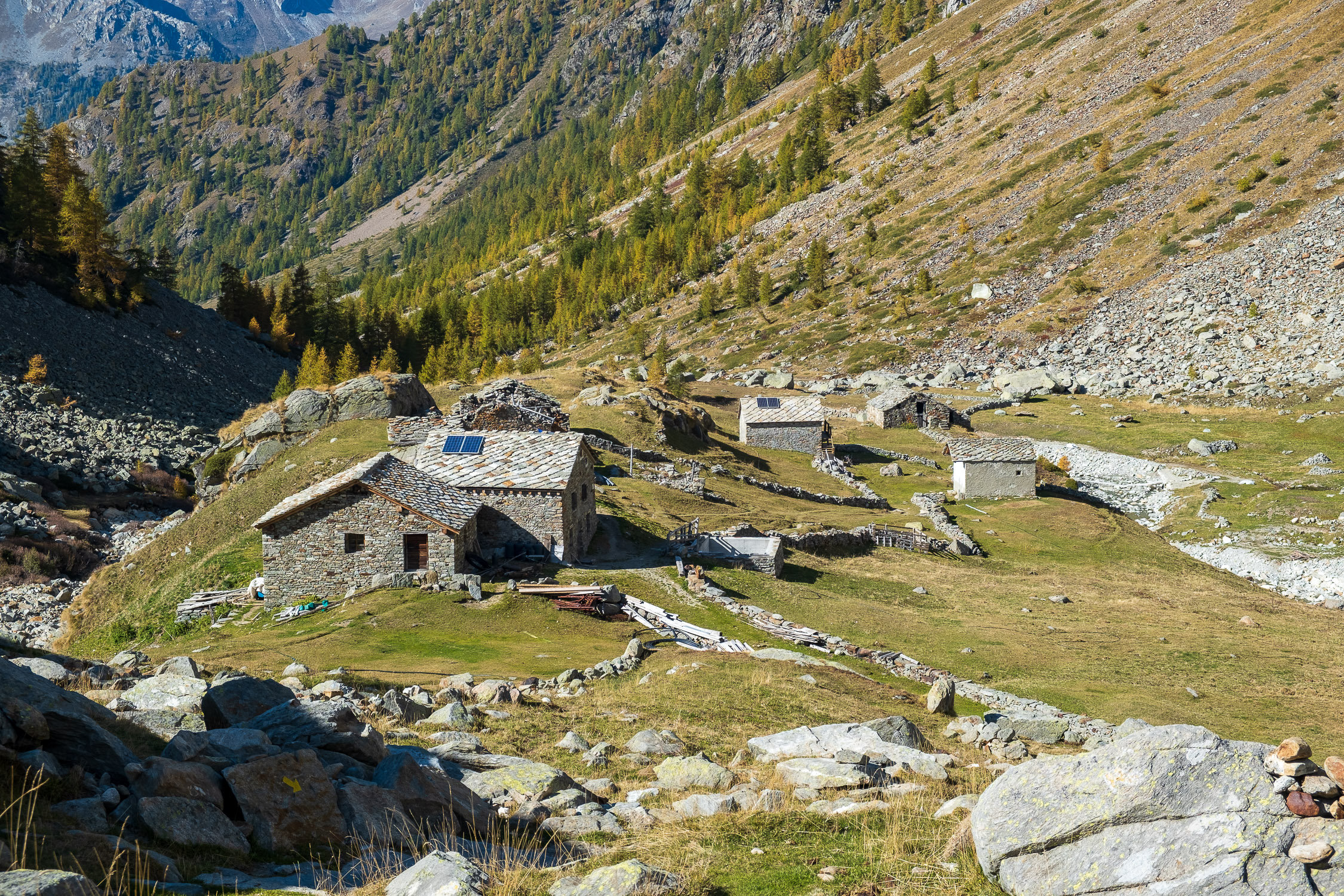
In Upper Loo is the Bléckéné farmhouse, where it is worth stopping (on the way there or on the way back) for a quick snack/meal: it is not yet possible to sleep there (other than in a tent), but the managers are making arrangements to offer some sleeping accommodations in the future as well.

The Bléckené farmhouse
These are the last buildings to be encountered along the route: having passed the small hamlet, the trail begins to climb again along a series of grassy crags: a first step is followed by a second, characterized by a central spur that you pass on the left, after which at 2222m you find yourself on a short plateau above which towers Mount Kick (2315m), a singular rock with a curious name placed right in the middle of the valley.
The trail goes around it passing on the right.
")
Mount Kick (2315m)
If from below Mt. Kick looks quite impassable, once you pass it you will see that the very short detour of the path up it from its shoulders does not present the slightest difficulty.

The easy access from the back to the top of Mt. Kick
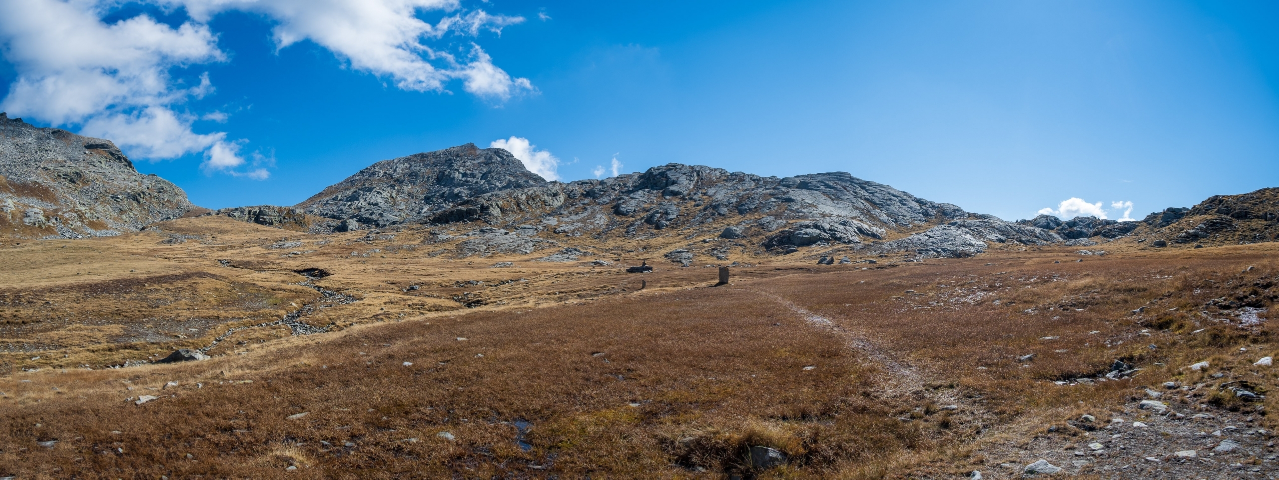
After passing the Kick Mountain area, the trail continues to climb, always keeping to the right side of the valley, and then moving toward the center. At 2350 meters, past a last grassy step, we finally reach the wide and wonderful final plateau.

From left: pass of Loo, Lazouney point, pass of Lazouney
In the middle of the plateau is a large marker stone, the crossroads of trails leading to three different destinations: to the left is the Maccagno Pass (trail 12C), to the right is the Lazoney Pass (trail 12B), while continuing straight on to the end of trail 12 leads to the Loo Pass.

The marker stone between trails 12, 12B and 12C
The hill is very close. You skirt the small Lammersee lake, surrounded by a marsh, on the left. I find out that in German Lammersee means “Lake of the Lambs,” and indeed a flock of sheep is very often found in this area, guarded by a friendly shepherd from Biella who gladly exchanges small talk.

Lake Lammersee, below Lazoney Point
Passing one last step, we finally reach Loo Pass (2452m), where Trail 12 ends.

At the Loo Pass, looking down into the valley.
From the Loo Pass, instead of descending from the route taken on the way out, you can climb up to the tip of Lazoney. The trail is not marked, you will encounter vague tracks and sparse cairns here and there, but the route is risk-free and quite intuitable (it takes about 30 minutes). Once you reach the point, you can descend from the trail that climbs to it starting from Lazoney Pass, which is the main access route (more directions in the tab devoted to Trail 12C leading to Lazoney Pass).


")


