Gabiet Refuge (2365m), trail 5B

from Punta Jolanda to Rifugio Gabiet

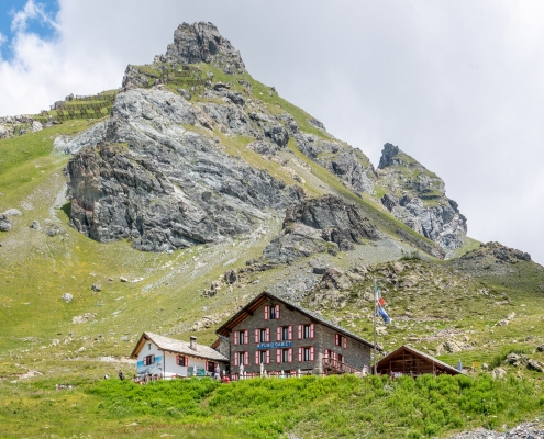
Gabiet Refuge, 2375m

Gabiet Refuge, 2375m

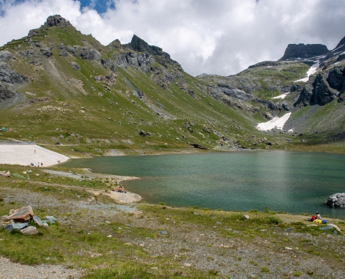
Lake Gabiet

Lake Gabiet

Trail 5B starts from Punta Jolanda (2230m) and arrives at Rifugio Gabiet (2365m). It is 2646m long and the total positive elevation gain is 146m.
The approximate time for the ascent is 0h49. The trail is rated of difficulty E.

Trail-walk, practically horizontal, devoid of any hiking interest. It is a perfect hike for families with children, who will be able in no time to move from the arrival of the Punta Jolanda chairlift to the Gabiet hut (overnight stay is possible), which with its characteristic red and white shutters is located just a few meters from the secondary dam of Lake Gabiet.

Lake Gabiet is a natural lake that was closed by a dam in 1921 to feed the Gressoney hydroelectric plant. Today it is a popular destination especially for families because of the wide grassy bank along the northwest side (which allows for safe summer picnics) and also because of thewide availability of refuges in the area: the Gabiet See Refreshment Bar, the aforementioned Gabiet Refuge, Albergo Del Ponte (where it is possible to stay overnight) and Adler’s Nest. Following trail 6B it is possible to reach in about an hour’s walk another hut with overnight accommodations, the Orestes Hutte (exclusively vegan cuisine).

Trail 5 also reaches Lake Gabiet, but starts from Gressoney-La-Trinité. Upon reaching Punta Jolanda, Trail 5 points to the right and reaches the Gabiet Lake dam, contouring the lake on the right until reaching the hut.

1. Start and finish

Trail 5B starts from Punta Jolanda, the elevation is 2230m.
See on Google Maps.

Latitudine e longitudine (WGS84 - EPSG 4326): 45.8404755087, 7.83240997529

The arrival location is Refuge Gabiet. The altitude is 2365m.
See on Google Maps.

Latitudine e longitudine (WGS84 - EPSG 4326): 45.8539906154, 7.84978650661

2. The route

From the arrival of the Punta Jolanda chairlift(here for information on times and fares), Trail 5B starts out keeping at high altitude: be careful not to be enticed by the wide road that snakes downward (a ski slope in winter). Still without ever losing elevation, the trail continues to run on the right side of the slope, crosses the route of the Bedemie-Seehore chairlift, until it joins a wide dirt road that contours Mount Seehore (2515m) keeping it on the right…

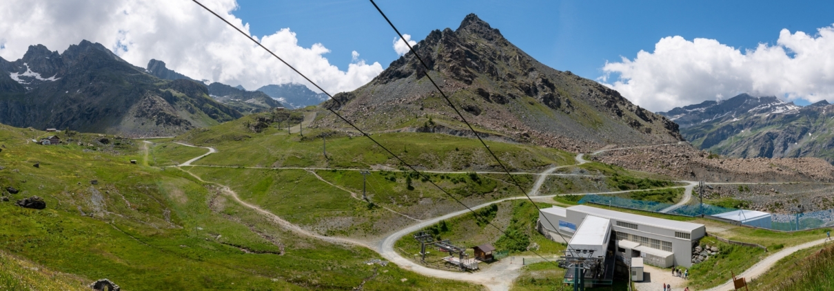
Overview toward Seehore Mountain, 2515m: Gabiet hut is visible on the far left

Overview toward Seehore Mountain, 2515m: Gabiet hut is visible on the far left

…and leads up to the basin where the Stafal/Bettaforca cable car station is located. On the slope to the right you will see the Gabiet hut (2375m), the end of the trail. Lake Gabiet is only a few hundred meters away from the hut.

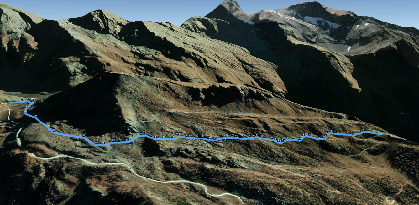
In the image below taken from Google Earth the route from start to finish, with highlights of the route indicated.

1
2
3
4
5
6
7
1

The departure from Punta Jolanda, 2230m

2

The trail does not follow the ski slope, which goes straight downhill, but remains high

3

The point where the chairlift route is crossed.

4

The arrival of the Bedemie-Seehorn chairlift

5

From here on, we proceed on a dirt road.

6

Lake Gabiet

7

The arrival at the Gabiet hut, 2365m

3. The GPX track

This is the map of the trail, according to the SCT Trail Cadastre of the Aosta Valley.