Salero Pass and Lakes (2687m), trail 8A
from the Sitten Refuge to the Rothorn/Passo del Salero/Salerforko Pass

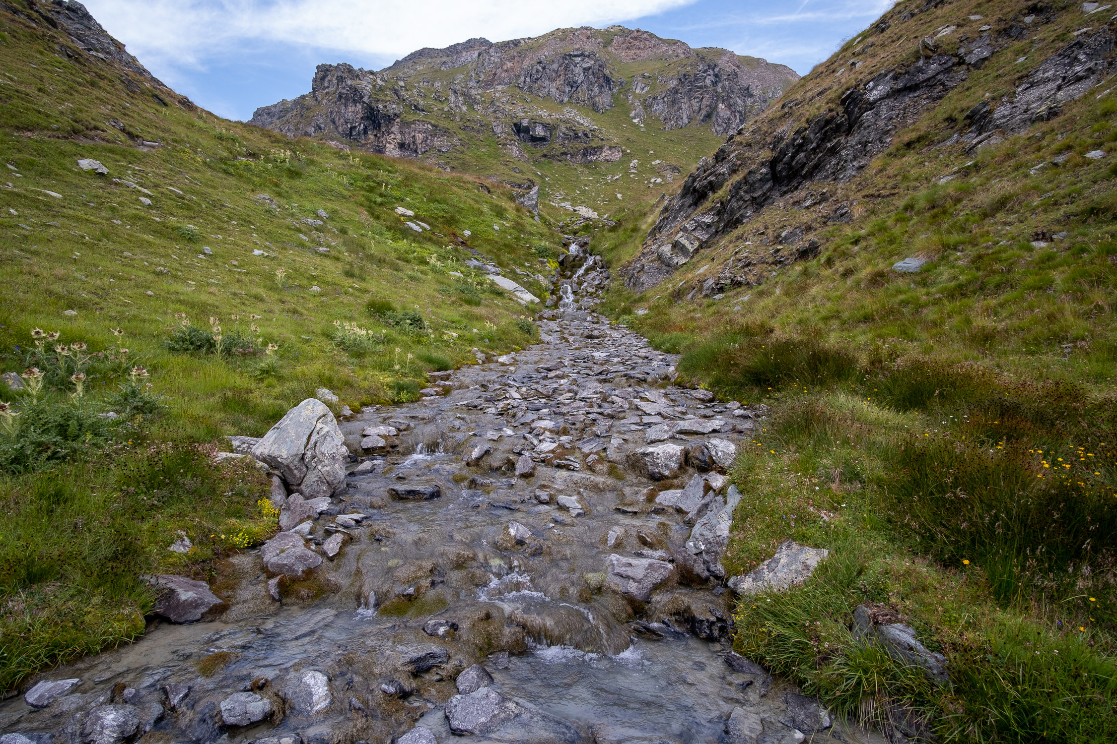
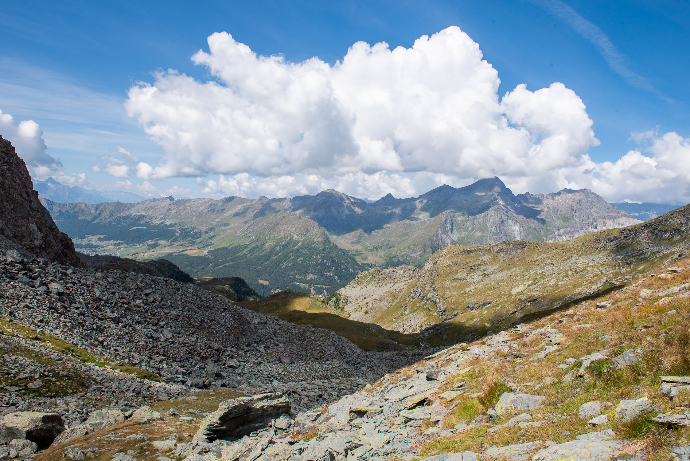
The little valley of the Rothorn photographed from the Rothòre

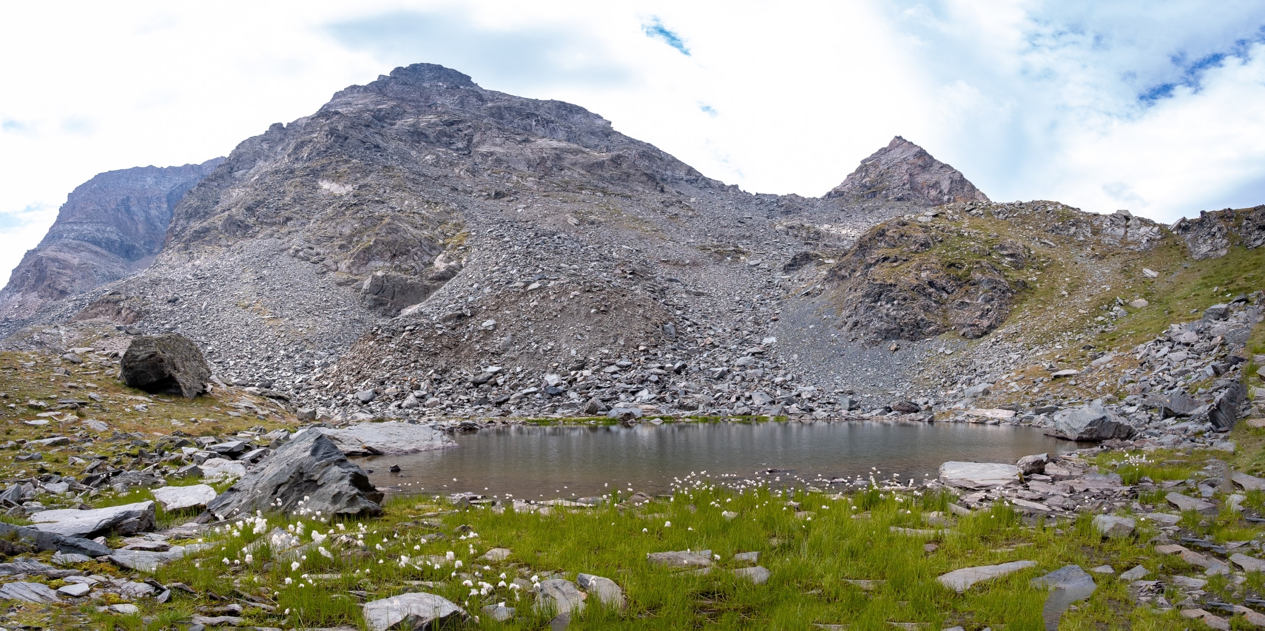
Salero Lakes from the Salero Pass
Trail 8A starts from the Sitten Hut (2274m) and reaches the Rothorn Pass (also Salero Pass,or Salerforkò) (2687m). It is 1997m long and the total positive elevation gain is 413m.
The approximate time for the climb is 1h13. The trail is rated of difficulty E.
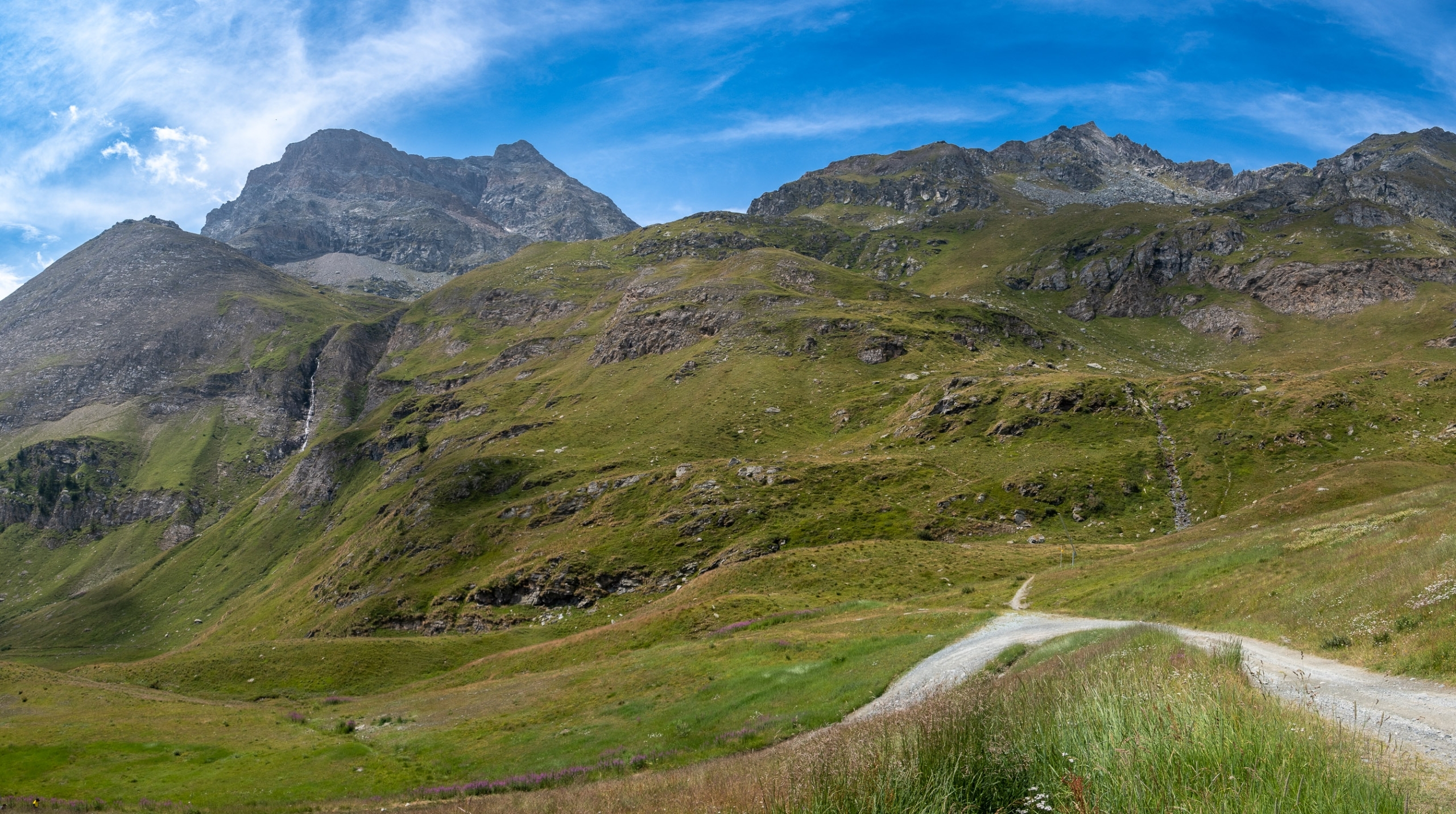
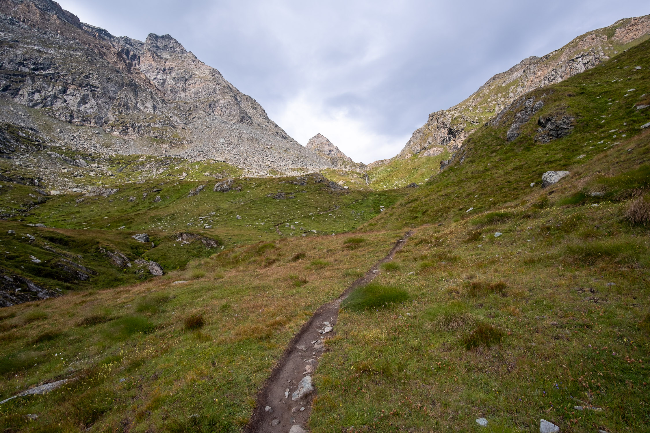
On the orographic right of the Bettaforca valley, at the height of the‘Hotel Ristoro Sitten (it is possible to stay overnight there), it opens the Rothorn valley,which ends at the Rothorn Pass, just below which are the two Salero lakes. From the Rothorn Pass, on the Ayas Valley side, trails 10 and 11 start, crossing the valley of Contenery.
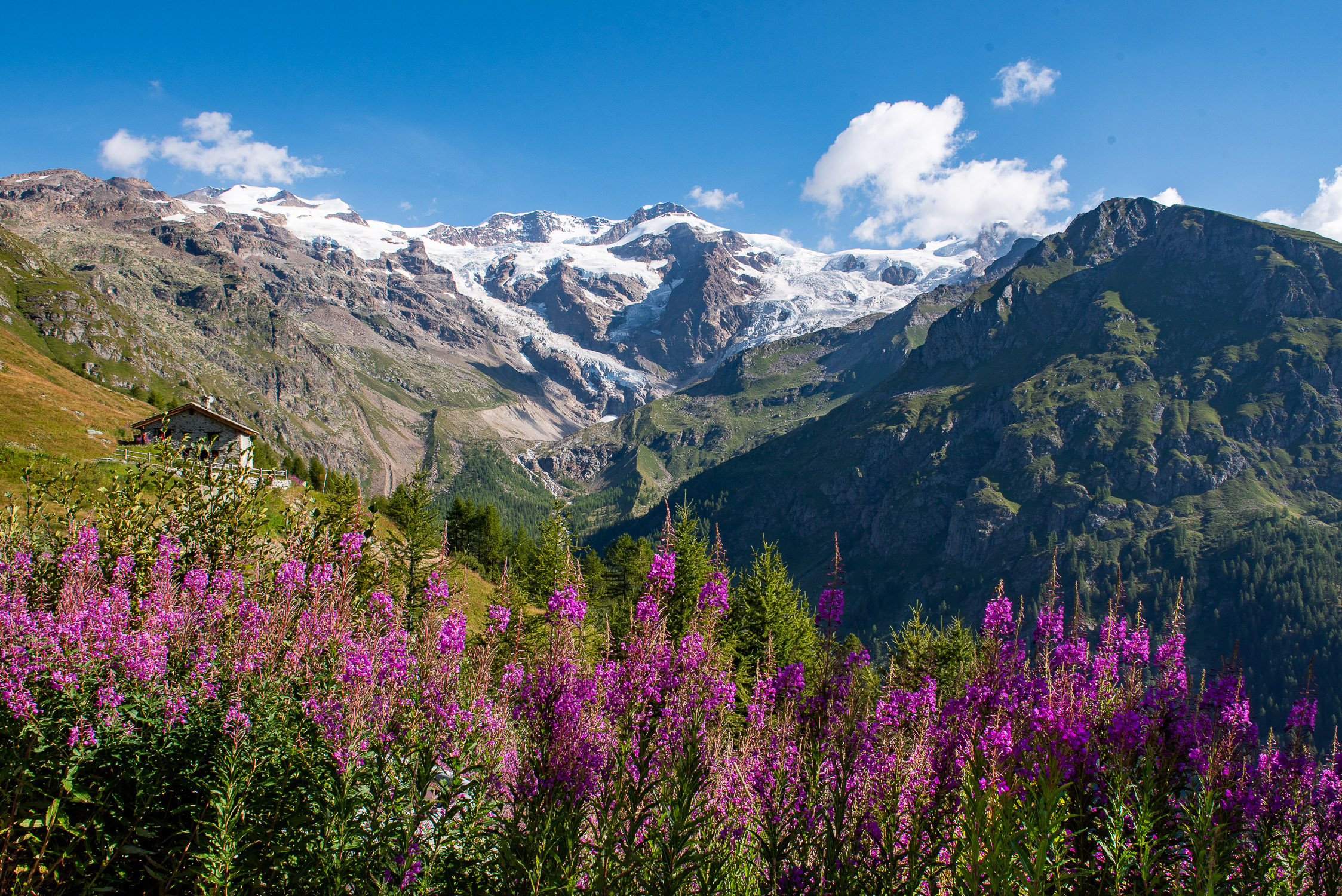
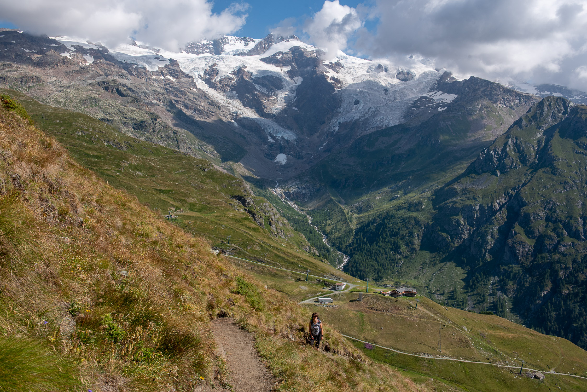
Trail 8A does not present any technical difficulties. Because of its brevity, and the fact that it starts just a few meters from the St. Anna shelf (the place of arrival of the cable car from Stafal, and with as many as two shelters available, theHotel Ristoro Sitten and the Jutz Shelter), it is always very busy. Along the initial part of the trail there is a magnificent view of Mount Rosa, towering majestically behind the climber.
Before returning to the valley, near the cable car departure station, it is worth taking a short detour to admire St. Anne’s Chapel.


 and the saddle (2852m) connecting it to the Rothorn (left)")


