Note: If you want to avoid the first 600 meters of elevation, you can take the Stafal-Gabiet gondola: travel to Stafal and take the gondola that heads right toward Lake Gabiet (schedules and fares). In that case, skip the first part of the description of this trail.
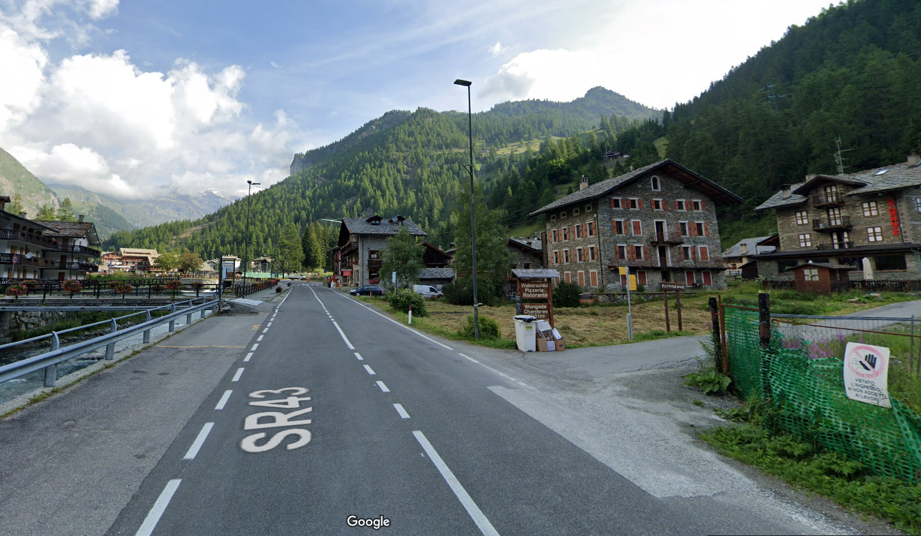
Leaving the state road, we enter the small dirt road: past the Walserschild restaurant is a signpost with directions to trails 3, 4 and 5. The path climbs for a very short distance up long paved steps…
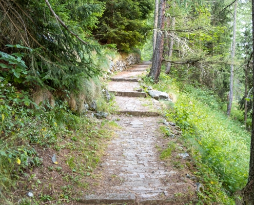
Long steps at the start of the trail
…and immediately after that, turn left and head into the woods. A few minutes after setting out, you’ll come to a tree at the first fork in the trail: to the left, you’ll take
TRAIL 4
and
TRAIL 5
; to the right, you’ll continue on
TRAIL 3
.

Junction of trails 3, 4, and 5
The trail climbs gently until you reach the Stotz hut (1,726 m). Behind the cabin is a dirt staircase, where the trail continues.

Stone staircase behind Stotz
At 1,775 meters, you’ll come to a trail that joins from the right (it’s a connection to
TRAIL 3
); we continue to the left.

Connection to trail 3
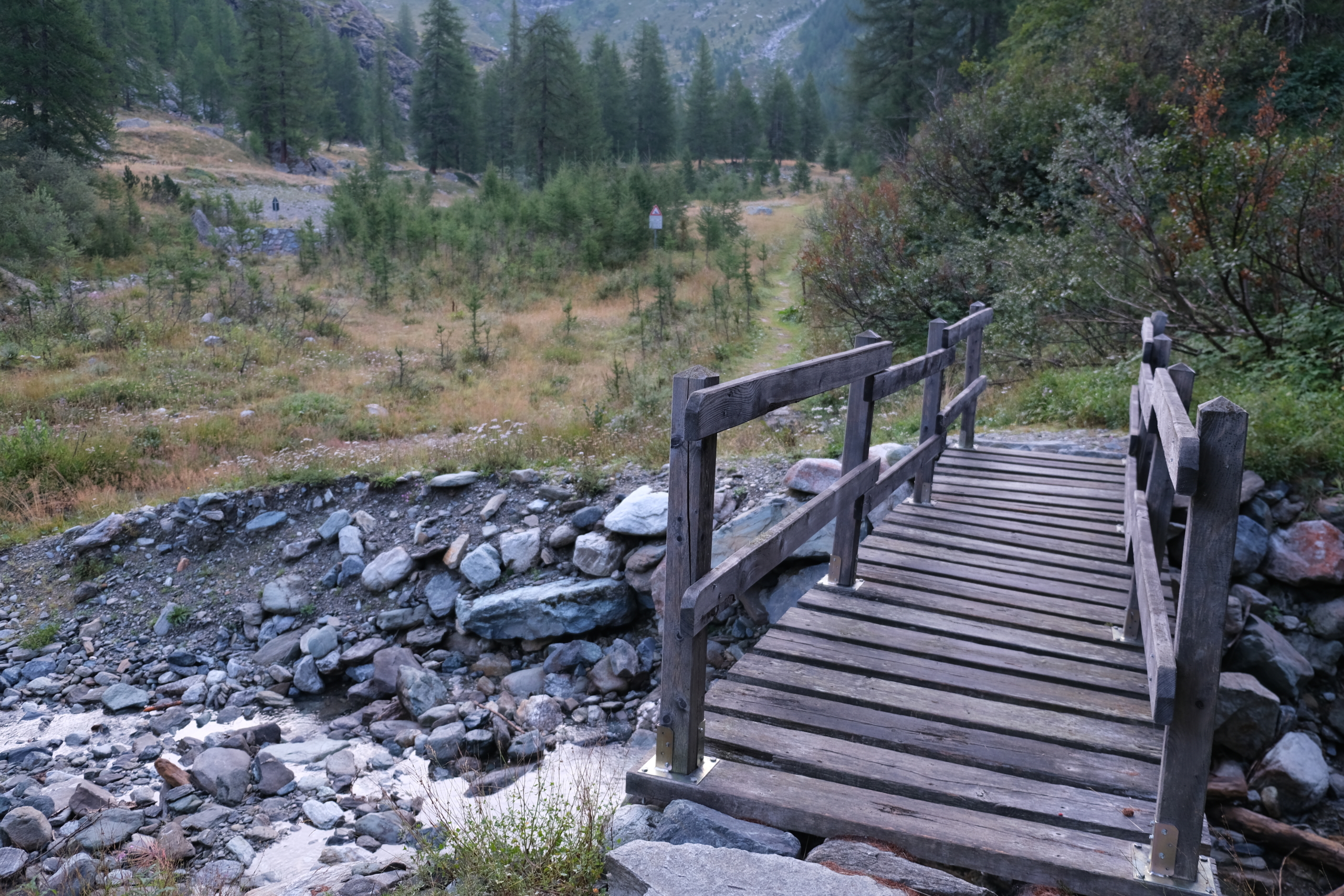
At 1,790 meters, you’ll come to a small bridge: if you want to continue on
TRAIL 5
, you must cross the bridge; if you want to take
TRAIL 4
, you must turn right.

Junction of trails 4 and 5
The trail continues gently, staying alongside the Ruessobach stream.
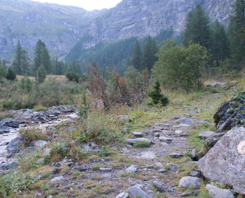
The trail climbs alongside the stream
At 1,848 meters, you pass a collection basin and two small bridges that span the Netschobach tributary , which flows down from the Netsciò Lakes (located in the bivouac Gastaldi basin).
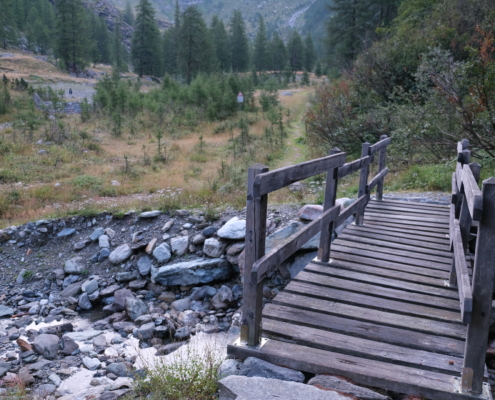
The trail climbs alongside the stream
At 1,857 meters, there is a fork in the trail: the left path leads to another small bridge; we need to go right.
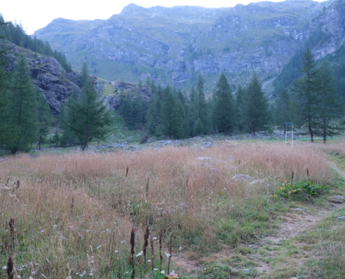
Crossroads
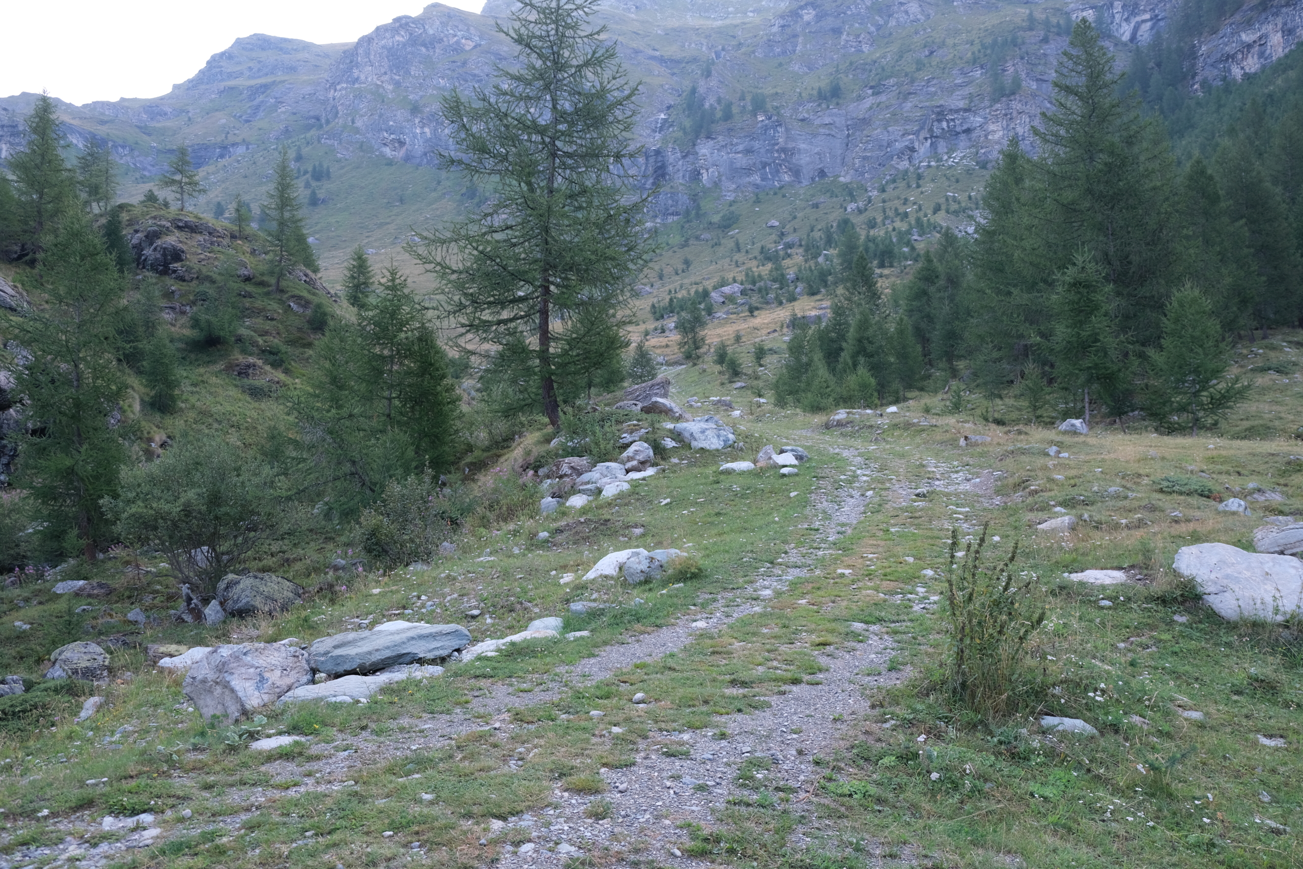
At 1,877 meters, the route turns onto a dirt road for a short stretch.
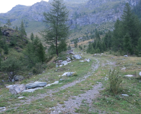
The dirt road
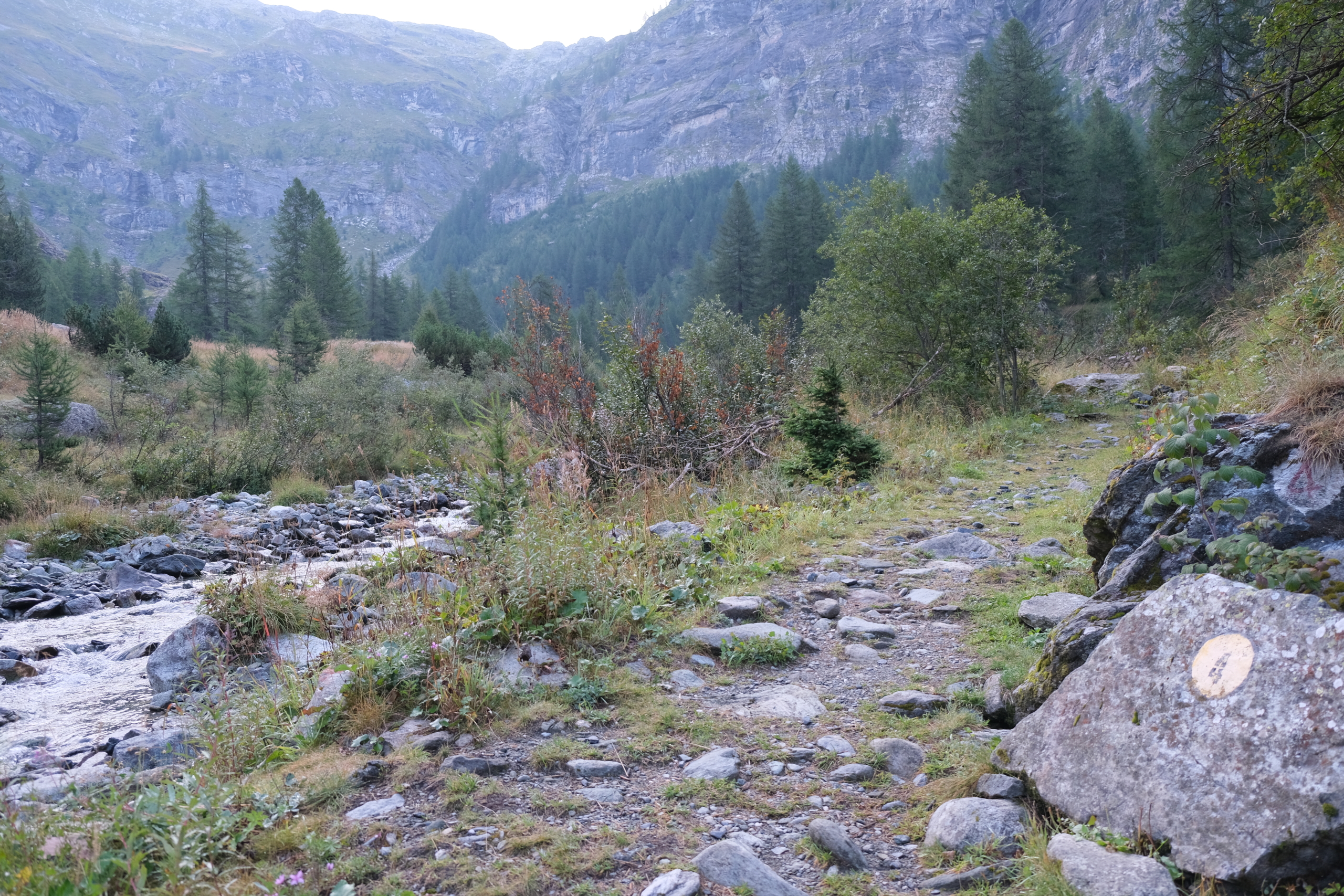
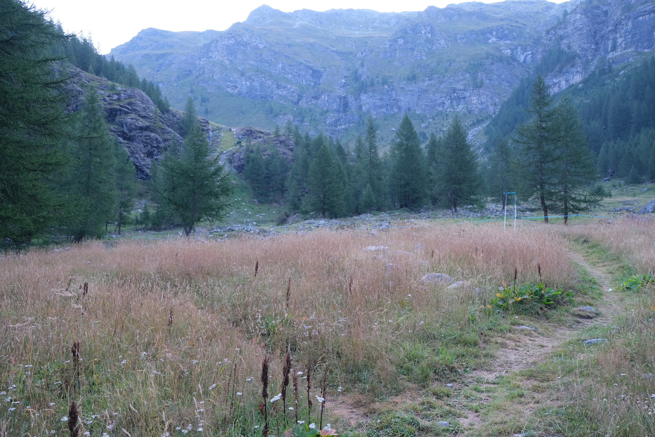
The trail continues to climb through the wide valley. You cross a first dry stream bed, and before reaching a second stream, a small tree marks the spot where the trail branches off to the right. Immediately after that, you’ll find new yellow marks numbered 4.
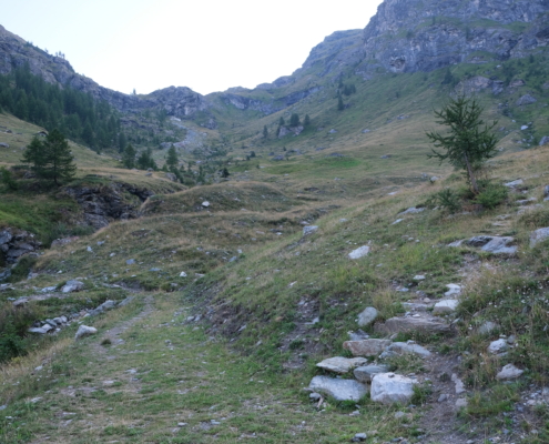
Climb to the right of the small tree
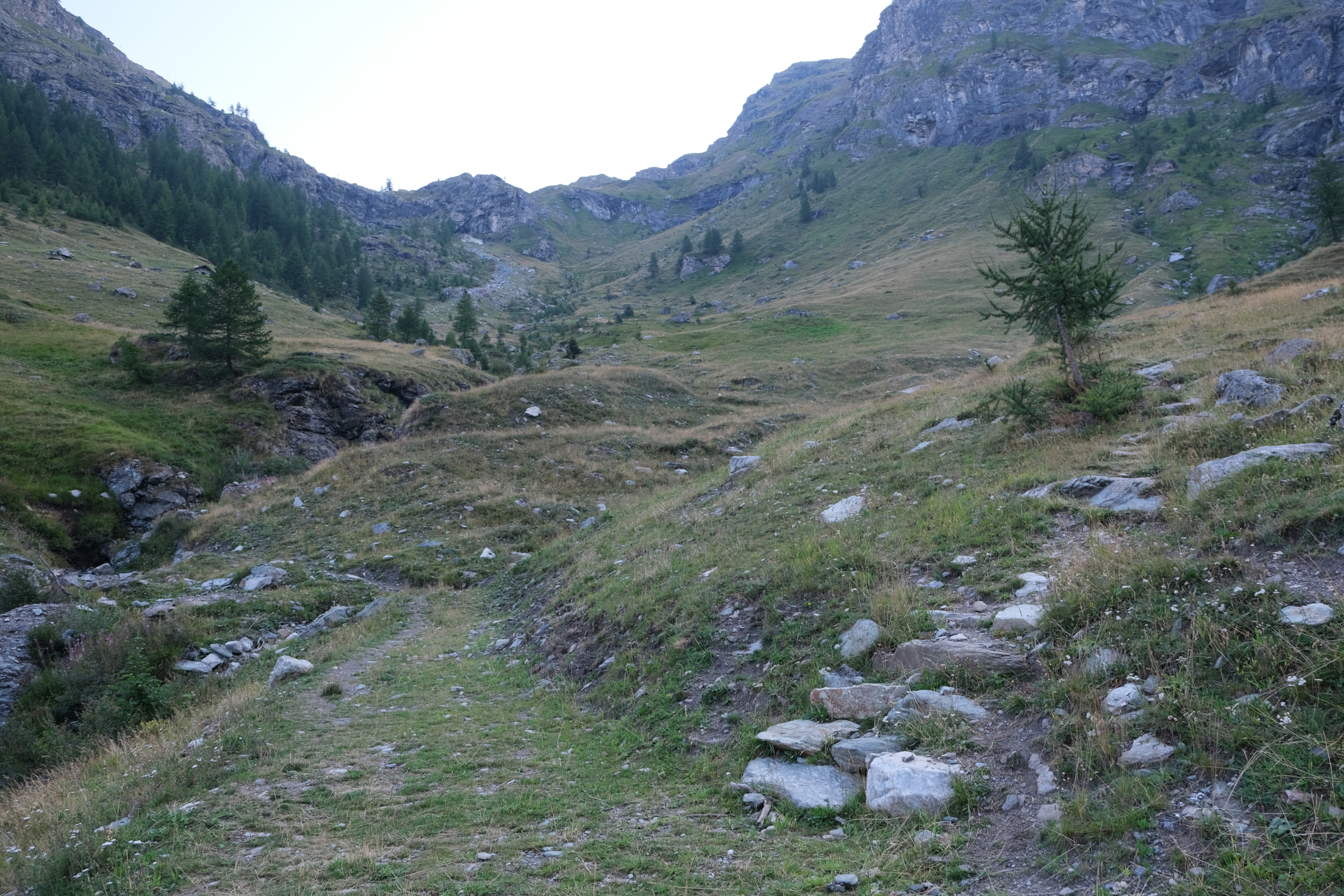
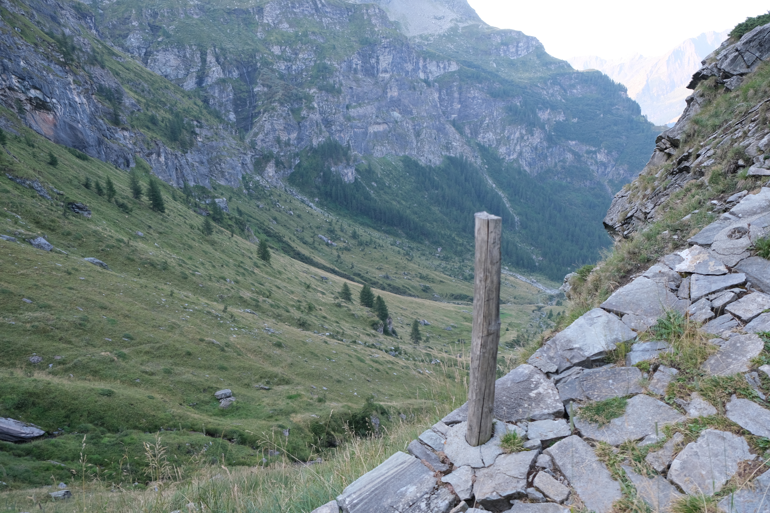
From here on, the slope becomes steeper. Follow the valley upward along a series of switchbacks (the trail remains clearly visible at all times) until you exit the valley at about 2,204 meters, after passing a short paved section.
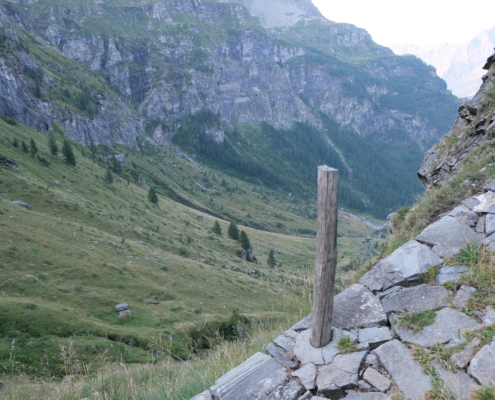
Leaving the valley
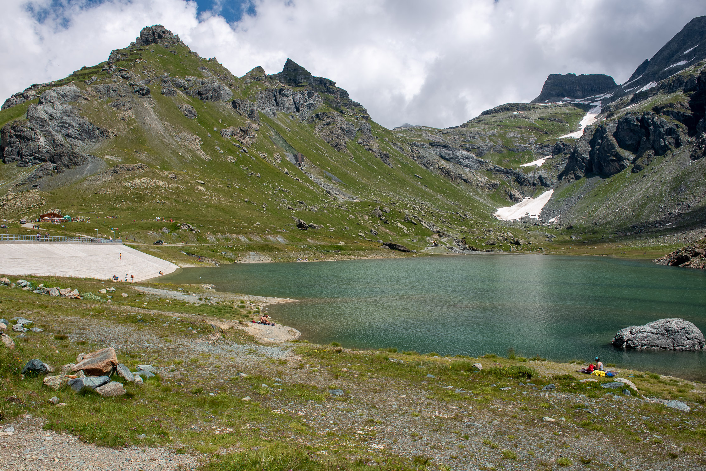
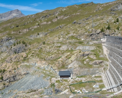
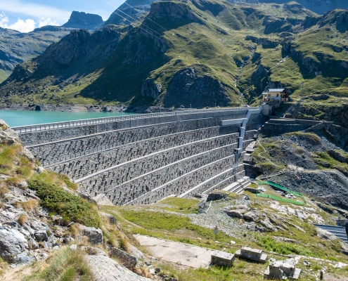
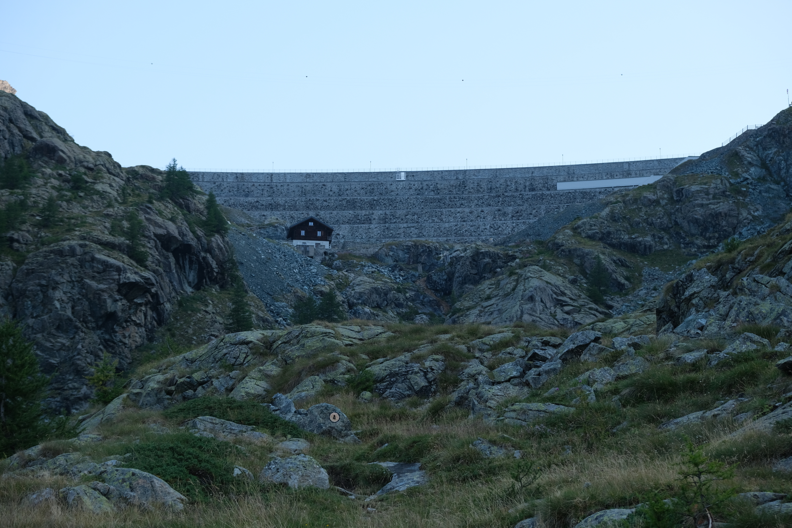
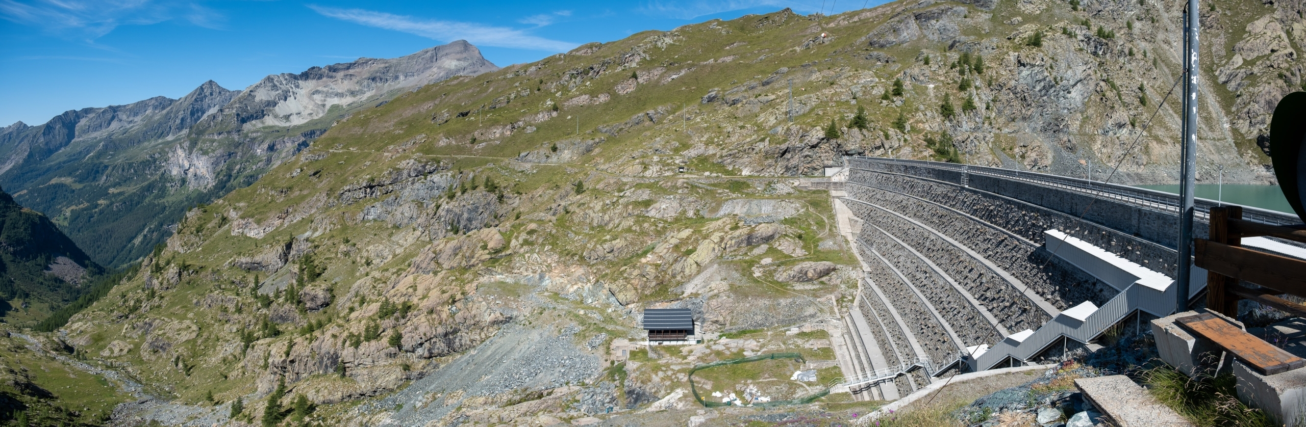
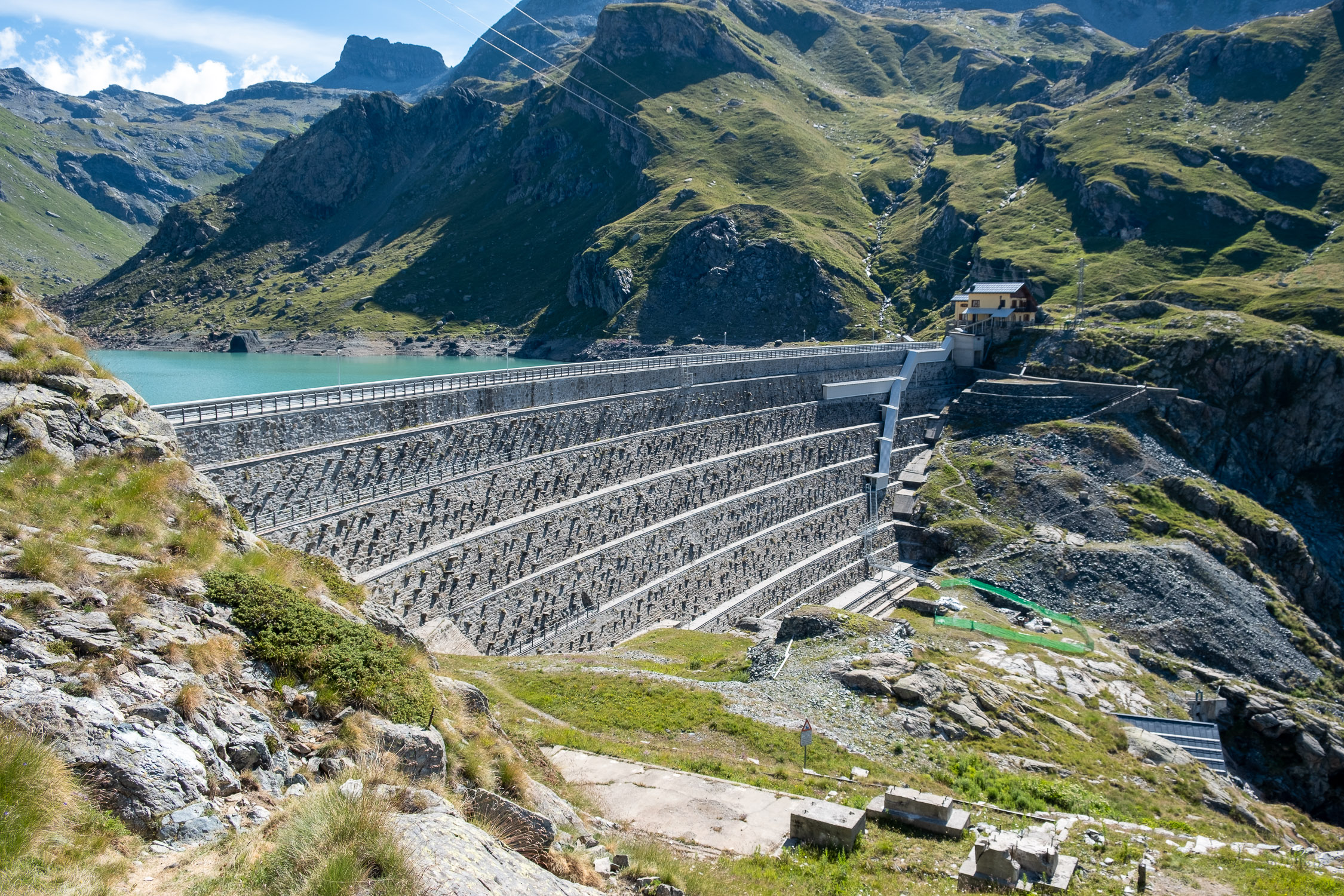
This is where you can finally see the Gabiet Dam.
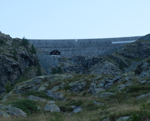
Gabiet Dam
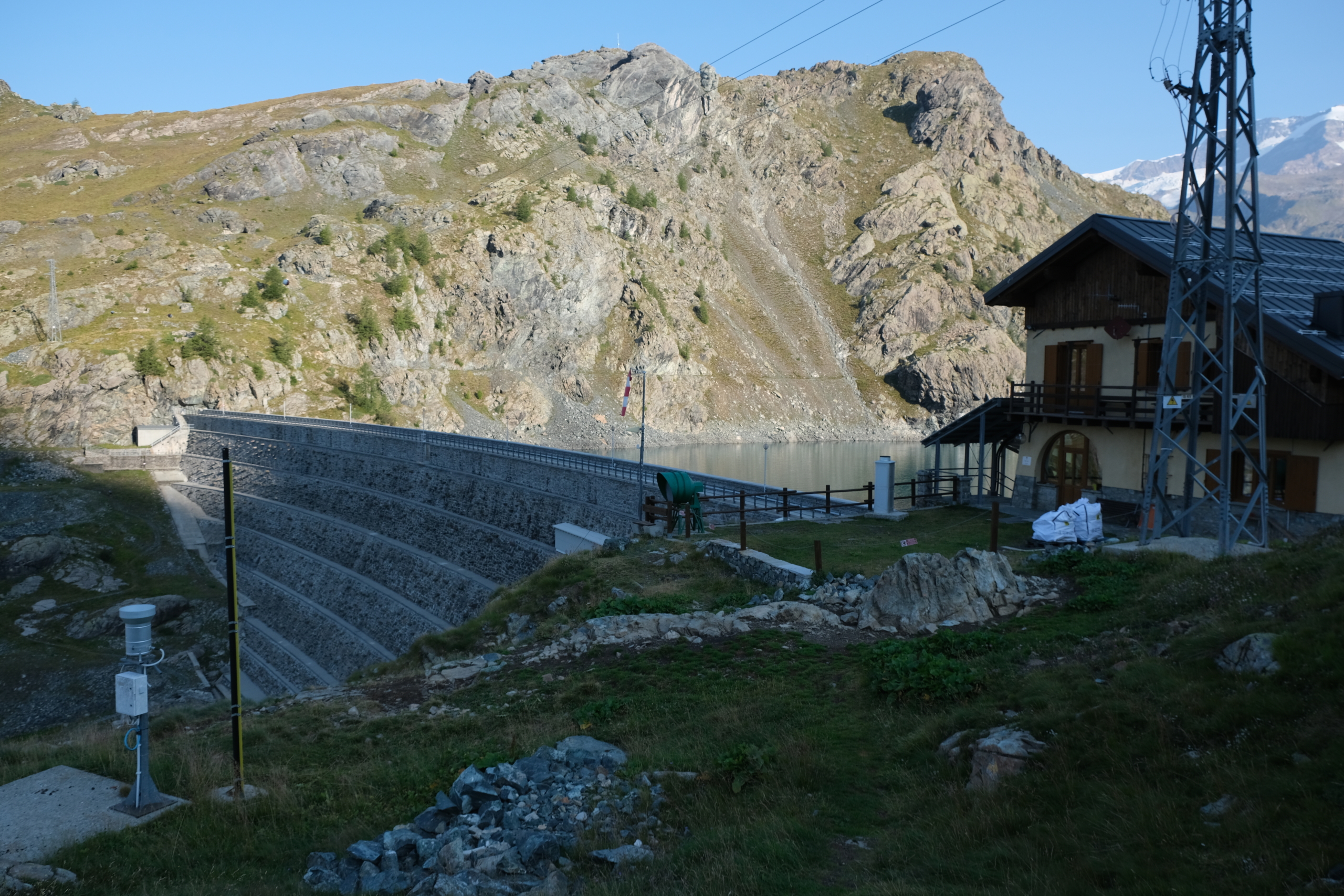
The trail continues along the right side of the valley until it reaches the foot of the dam. Head up to the right along a zigzagging trail until you reach the dam keeper’s quarters.
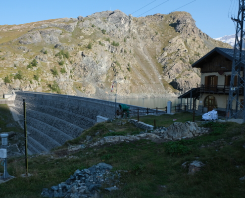
The dam and the caretaker’s quarters
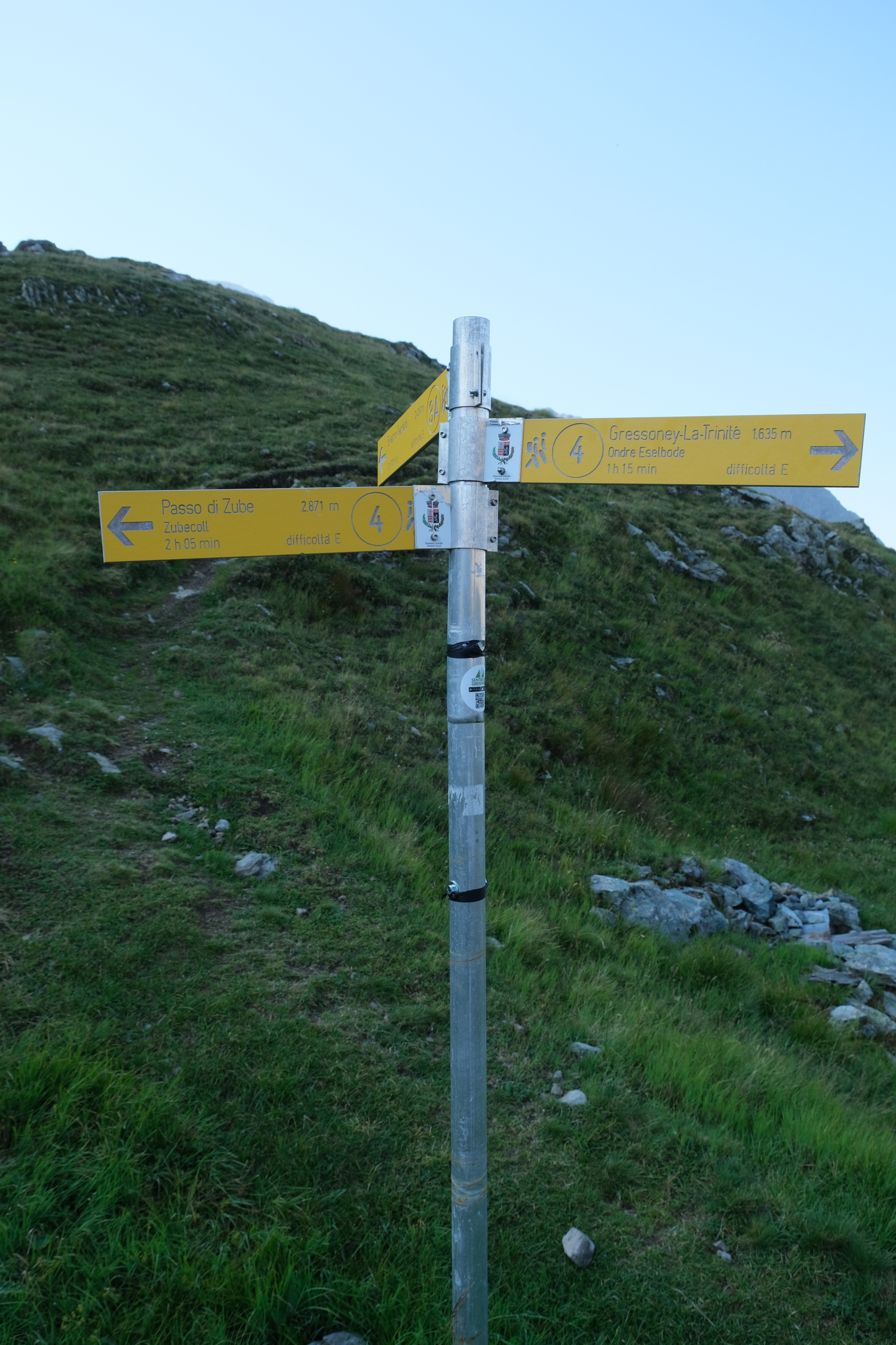
You’ll come to a new waymark, to the right of the lodge, which indicates both the continuation of trail 4 (along the lake) and
TRAIL 3A
, which joins
TRAIL 3
leading to the bivouac Gastaldi
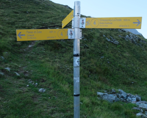
The waymark post
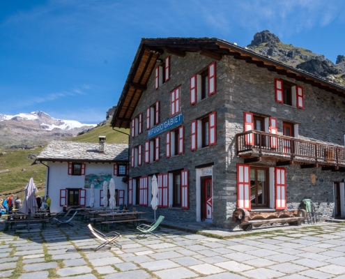
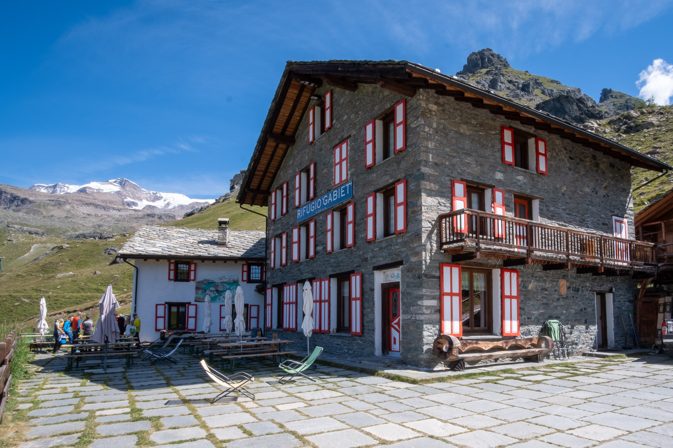
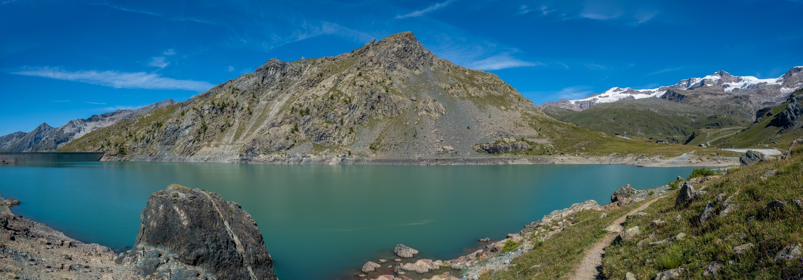
From here, head down to the lakeshore and continue along the right bank until you turn left as soon as possible, to reach the area where the various hotels and Gabiet refuges are located. This is where trail 4 ends.