Bivouac Gastaldi (2625m), trail 3A
from Rifugio Gabiet to Bivouac Gastaldi
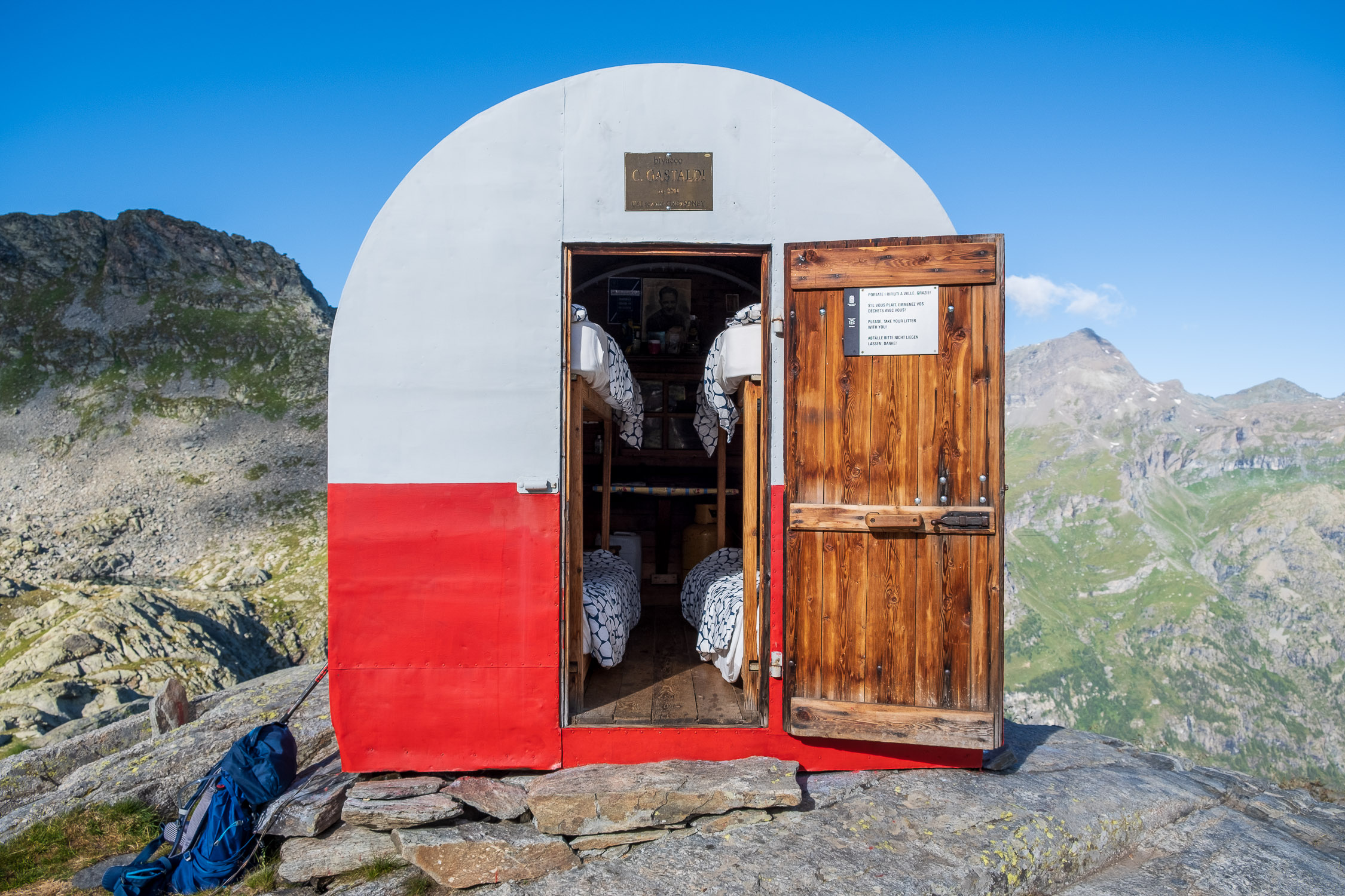
The bivouac Gastaldi
Trail 3A starts from Gabiet refuge (2370m) and goes to Bivouac Gastaldi (2625m). It is 5491m long and the total positive elevation gain is 259m.
The approximate time for the climb is 1h56. The trail is rated of difficulty E.
Long trail, with a couple of ups and downs in between that do not greatly increase the elevation surpassed: only in the last kilometer do you climb, when you reconnect with trail 3 coming from Gressoney La-Trinité, and you have to overcome the same equipped section (the only technically challenging point of the entire trail).
For more information about Bivouac Gastaldi and its surroundings, see the page on Trail 3.

