
This is a selection of easy trails, rearranged by increasing physical effort. The average difficulty of Gressoney’s trails is generally quite high (they are almost always very steep to begin with, and they are almost always quite long) but there are some that are affordable even by less trained hikers.
These are trails where there is at least one hut along the way (indicated in the trail description), where it is possible to refuel before or after the walk.
Asterisks indicate the physical effort required.
- ** Trail 6B – Stafal/Gabiet to Orestes Hutte – time 1h, elevation gain 259m
- ** Trail 8 – Stafal to Sant’Anna – time 1h, elevation gain 339m
- ** Trail 6 – from Saint-Jean to Alpenzu Grande – time 0h45, elevation gain 355m
- ** Trail 2 – from Stafal/Gabiet to Lago Blu – time 1h, elevation gain 346m
- ** Trail 3A – from Saint-Jean/Weismatten to Punta della Regina – time 1h15, elevation gain 397m
- *** Trail 8 – from Stafal/Sant’Anna to the Salero Lakes – time 1h15, elevation gain 413m
- *** Trail 15 – Loop from La-Trinité to Stafal – time 3h30, elevation gain 425m
- *** Trail 2 – from Saint-Jean to Weismatten – time 1h40, elevation gain 590m
- *** Trail 11B – from Saint-Jean to the Valley of the Princes – time 2h10, elevation gain 703m
- *** Trail 3 – from Saint-Jean to Ranzola pass – time 2h10, elevation gain 723m
- *** Sentiero 4 – from La-Trinité to Lago Gabiet – time 2h50, elevation gain 770m
(*) Low physical effort
1: * Trail 15, “the Queen’s Trail” — from Saint-Jean to the Savoia Castle (1 hour, elevation gain 63 m)
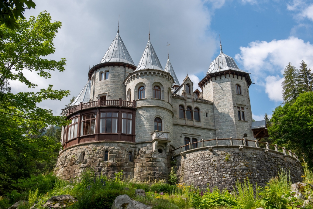
The Savoia Castle
From Saint-Jean: If you’re looking for a trail that’s easy for very young children to hike, TRAIL 15—”THE QUEEN’S TRAIL” — is the obvious choice ; it leads from Saint-Jean to the Savoia Castle. Wide, safe, with very low slope variation, it passes near Lake Gover, in the middle of a beautiful forest, next to a wonderful waterfall, and ends at the fairy tale castle: what more is needed?
2: * Trail 5B – from La-Trinité/Punta Jolanda to Lake Gabiet (50 min, elevation gain 146 m)
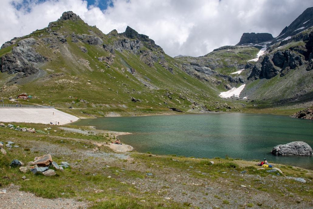
Lake Gabiet
From La-Trinité/Punta Jolanda: Once you’ve taken the chairlift up to Punta Jolanda, TRAIL 5B leads you to Lake Gabiet, an artificial lake dammed by the impressive Gabiet Dam. It’s a short trail with very little elevation, leading to an area full of mountain huts where you can grab a bite to eat (from the lowest:the Adler’s Nest,the Del Ponte Hotel, the Gabiet refuge, and the Bar Ristoro Gabiet See —all within easy time), and where you’ll find the lake’s wide, grassy shores, perfect for a picnic.
3: * Trail 14 – Saint-Jean to La-Trinité (2 hr 30 min, elevation gain 291m)
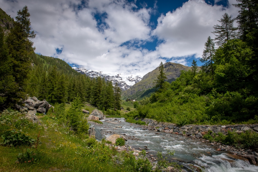
The Lys along the trail to Stafal
From Saint-Jean or La-Trinité: TRAIL 14, WHICH connects Saint-Jean and La-Trinité, is also an excellent choice if you have young children. It is not as wide as the 15, but it is risk-free, never steep, passes very often beside the Lys, the landscape it crosses varies constantly, and it is highly likely to cross grazing herds. The elevation gain is not small, but it is spread out over a very long route that obviously does not have to be covered in its entirety: at any time you can stop the walk, return to the state road (which is always very close), and, if you wish, go all the way to the next bus stop.
(**) Medium physical effort (elevation < 400m )
4: ** Trail 6B – from Stafal/Gabiet to Orestes Hutte (1 hour, elevation gain 259m)
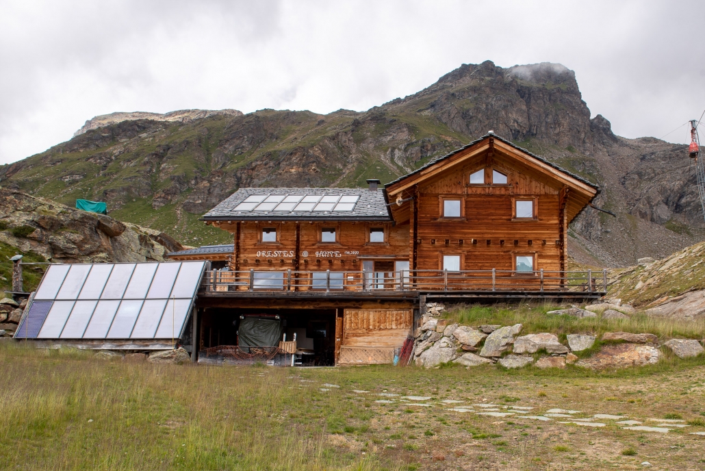
The Orestes Hütte
From Stafal/Gabiet: starting from Lake Gabiet, TRAIL 6B , passes the Orestes H utte (refuge with exclusively vegan cuisine, overnight stay is possible), where you can stop if you do not want to continue to the not far Salza pass (2882m), the trail’s final destination (you still climb an additional 257 meters). From the Orestes Hutte it is possible to travel to Blue Lake (and of course vice versa) with very little additional effort.
5: ** Trail 8 – Stafal to Sant’Anna (1 hour, elevation gain 339m)
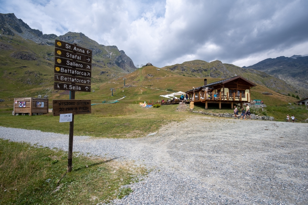
The plateau of St. Anna
From Stafal: you can avoid taking the cable car up to the Sant’Anna plateau (where there are two mountain huts, Restaurant Jutz and Ristoro Sitten-in the latter you can stay overnight), and you can follow the wide, easy TRAIL 8 . Sant’Anna has a wonderful view of Monte Rosa and the Lys springs (reachable from Stafal, if desired, via TRAIL 7 , of medium difficulty).
6: ** Trail 6 – From Saint-Jean to Alpenzu Grande (45 min, elevation gain 355 m)
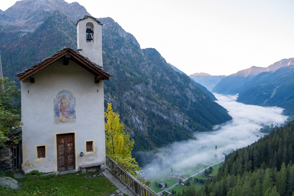
The chapel of Santa Margherita in Alpenzu Grande
From Saint-Jean: the destination of this TRAIL 6 (actually one of the most challenging, since it reaches 3,315 m at Testa Grigia) is the beautiful village of Alpenzu Grande (known in Titsch as Gròsso Albezò), 1,779 m, one of the very first Walser settlements in the valley, untouched by the passage of time. Perched on a natural balcony offering a breathtaking view of Saint-Jean, the village is only partially inhabited during the warmer months. Right in the middle of it is the Alpenzu Grande Shelter, open from June to the end of August (it is possible to spend the night there).
7: ** Trail 2 – from Stafal/Gabiet to Lago Blu (1 hour, elevation gain 346m)
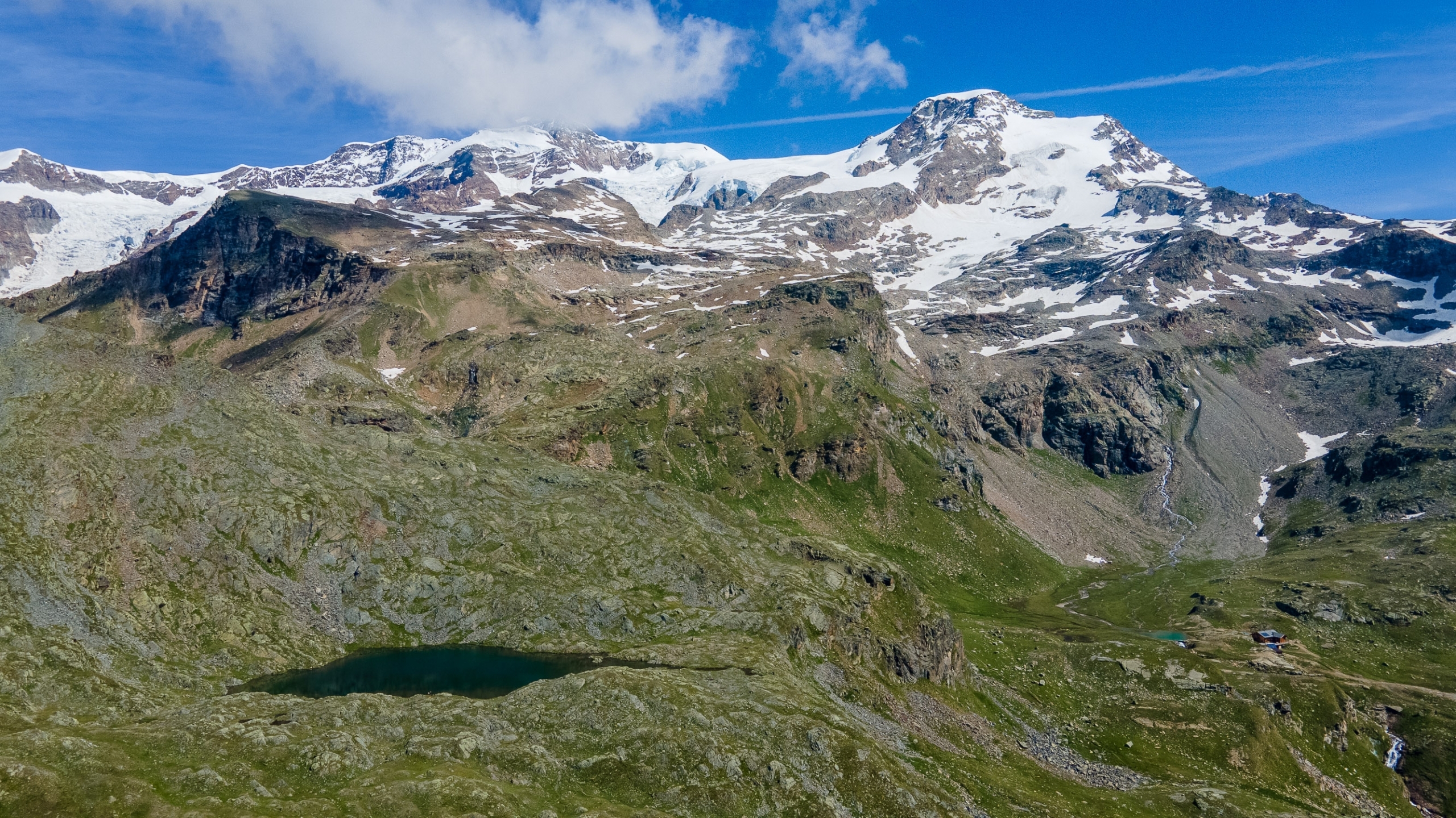
Blue Lake taken from above
From Stafal/Gabiet: The route starts from the Gabiet Lake area (accessible by gondola from Stafal) and arrives at the beautiful Blue Lake. From the Adler’s Nest refuge, take
TRAIL 2
. The trail would continue to Punta Telcio, but the arrival to the summit presents some technical difficulties, so as soon as you reach Blue Lake you can stop.
8: ** Trail 3A – from Saint-Jean/Weismatten to Punta della Regina (1 hour 15 min, elevation gain 397 m)
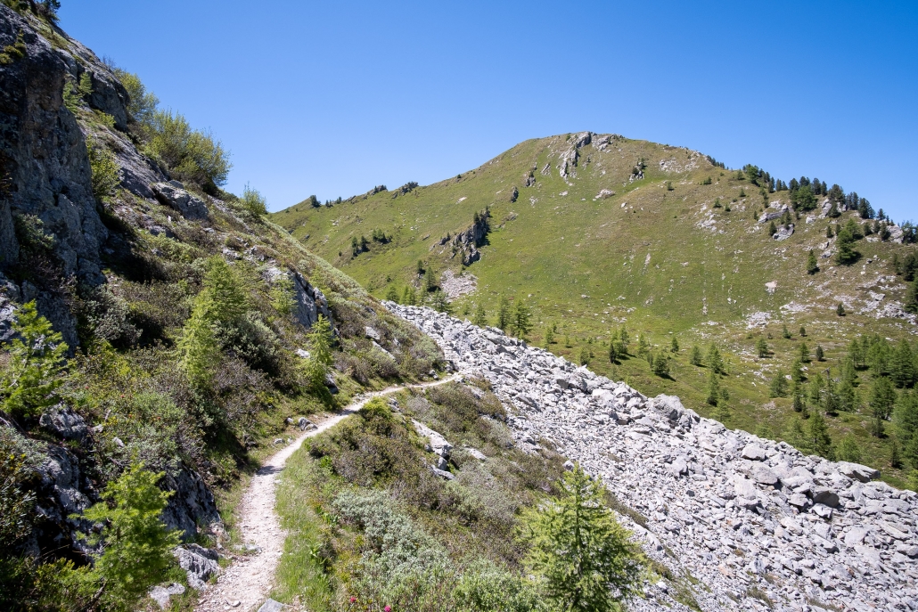
Punta della Regina
From Saint-Jean-Weismatten: TRAIL 3A , which leads from Saint-Jean-Weismatten to Punta della Regina, is very popular with families . You must reach Weismatten via the chairlift of the same name, and next to the Carlo Mollino/Casa Capriata mountain hut (where you can spend the night), take TRAIL 3A , which first leads to a grassy basin with a small lake ( Lago della Gombetta, where , if you wish, you can stop there without continuing further) and then, after a short climb, to Punta della Regina, a peak offering spectacular views yet posing absolutely no risk.
(***) High physical effort (elevation between 400 and 800m)
9: *** Trail 8 – from Stafal/Sant’Anna to the Salero Lakes (1 hour 15 min, elevation gain 413 m)
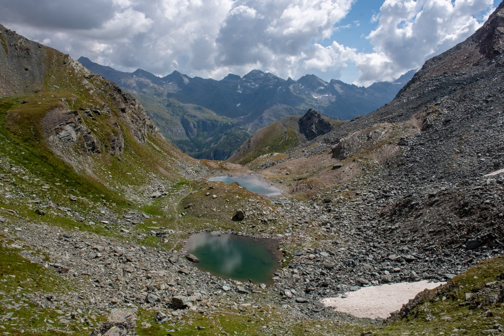
The two lakes of Salero
From Stafal/Sant’Anna: Once you arrive in Sant’Anna after taking the cable car up from Stafal, you can join
TRAIL 8
halfway along its route and continue on to the Salero Lakes. The trail is rather short, steep in the initial part only, allows along the way even better views of Monte Rosa than from Sant Anna, and allows you to arrive at these two tiny but beautiful mountain lakes. This is a very busy trail, so if possible it is advisable to walk it in the early morning hours.
If you prefer, you can reach Sant’Anna without taking the cable car—by walking along Trail 8 from its natural starting point in Stafal (the walk to Sant’Anna is entirely on a wide dirt road).
10: *** Trail 2 – From Saint-Jean to Weismatten (1 hour 40 min, elevation gain 590 m)
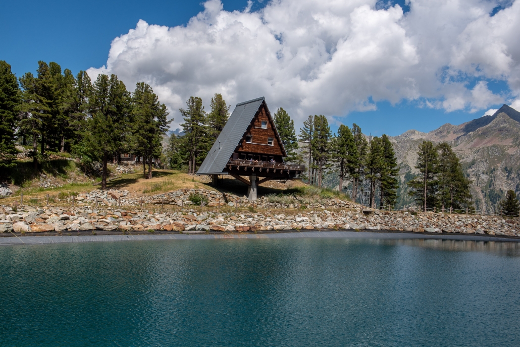
The Carlo Mollino/House Capriata Refuge
From Saint-Jean: TRAIL 2 starts at the end of the road that passes by the Savoia Castle. Once past the initial section in the forest, the rest of the route is almost entirely on the track of a ski slope, wide and unpaved. You arrive at the Carlo Mollino/Casa Capriata refuge, an excellent refreshment point on the banks of an artificial lake (it is possible to spend the night there). Various trails start from here if one wanted to go further, such as the just-mentioned TRAIL 3A to Punta della Regina.
11: *** Trail 15 – From La-Trinité to Stafal (3 hours 30 minutes, elevation gain 425 m)
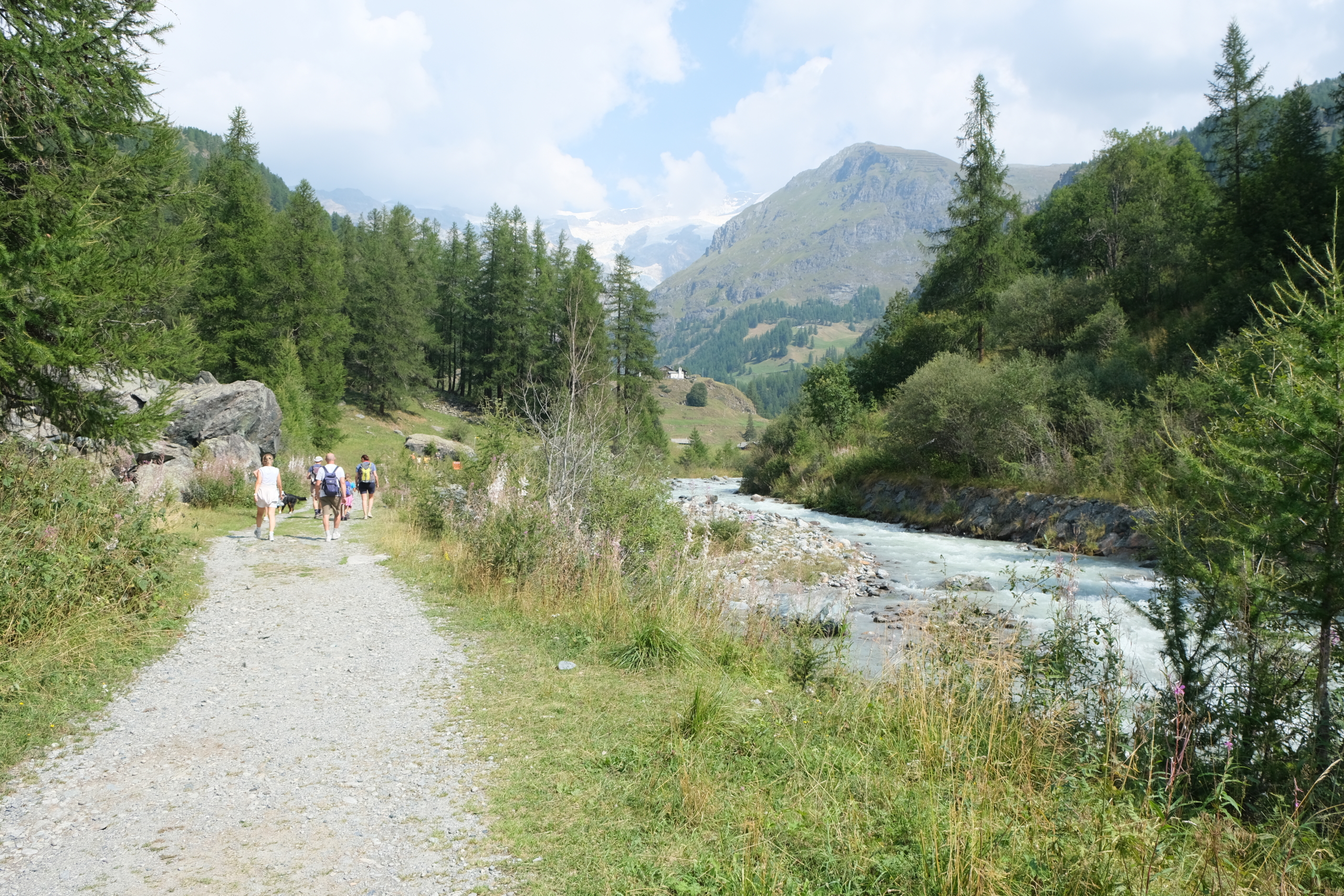
Trail 15 on the orographic right bank of the Lys
From La-Trinité: TRAIL 15 forms a loop that can be hiked either clockwise or counterclockwise. The estimated time (3h30) is for the entire route, but if you’d like to walk just one section, you can avoid the return trip by taking the public bus. If you’re looking for a really easy trail (the classic stroll), you can start from La-Trinité by following Trail 15 until you reach the village of Batt (you’ll know you’ve arrived when the dirt road ends and the climb toward Biel begins: of course, it’s a real shame not to at least make it to Biel—the view would truly be worth the effort), cross the bridge over the Lys at that point, and return to La-Trinité on the right/left bank (as you face downstream), thus completing a “loop within a loop.”
12: *** Trail 11B – From Saint-Jean to the Valley of the Princes (2 hours 10 min, elevation gain 703 m)
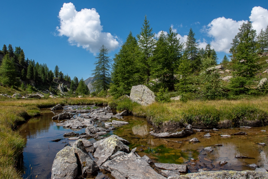
The stream that runs through the Valley of the Princes
From Saint-Jean: the climb to the Valle dei Principi along TRAIL 11B is a moderately challenging route, but highly rewarding. The Valle dei Principi is a wide, picturesque plateau cut through by the broad bends of a stream that forms tranquil pools here and there, into which you can dip your weary limbs (or something more, if you’re daring). The trail is steep for the first two-thirds, then flattens out just past the valley step, and the journey to the finish is through an environment that varies constantly, including peat bogs, rolling hills and alpine pastures from various eras.
13: *** Trail 3 — from Saint-Jean to Ranzola pass (2 hours 10 minutes, elevation gain 723 m)
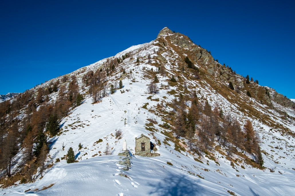
The Ranzola Pass and the chapel
From Saint-Jean: The ascent along TRAIL 3 to the Ranzola pass begins at the end of the Savoia Castle road and winds through theshady forest along a wide, well-trodden path until it emerges from the trees and passes the mountain huts of Ranzola Superiore, which are just before the arrival at Ranzola pass. From the pass, if you feel like taking a few more steps, you can climb up to Punta della Regina by following the short (but steep) TRAIL 7A .
14: *** Trail 4 – from La-Trinité to Lago Gabiet (2 hours 50 minutes elevation gain 770m)
Lake Gabiet
From La-Trinité: TRAIL 4 enters the Nétschò valley and climbs up to the Gabiet Lake dam.
Lake Gabiet is a natural lake that was closed by a dam in 1921 to feed the Gressoney hydroelectric plant. Today, it is a very popular destination, especially for families, thanks to the wide grassy shore along the northwestern side (which allows for safe summer picnics) and also to the wide availability of shelters in the area: the Bar Ristoro Gabiet See, the aforementioned Rifugio Gabiet, the Albergo Del Ponte (where it is possible to stay overnight), and the Adler’s Nest shelter. If you want to avoid retracing your steps along the same trail, you can take the short TRAIL 5B back to the top station of the Punta Jolanda chairlift, which will take you back down to the valley.

