Sources of Lys (2417m), Trail 7
from Stafal to the Sources of the Lys
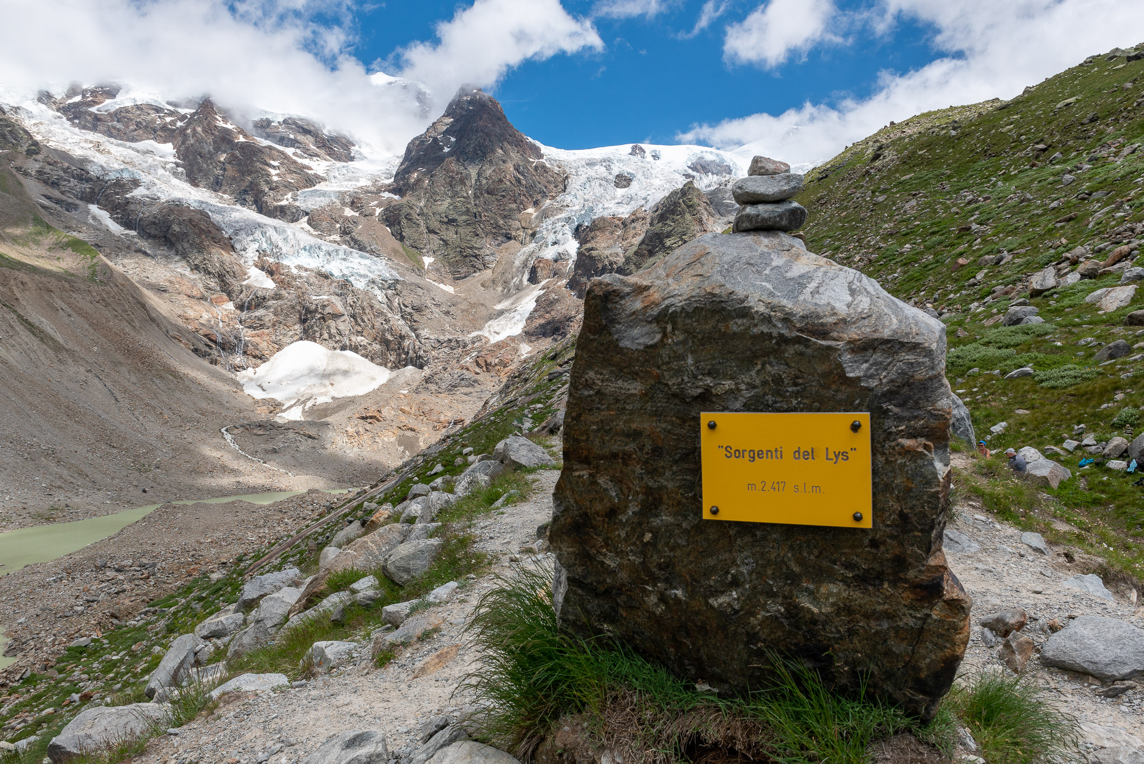
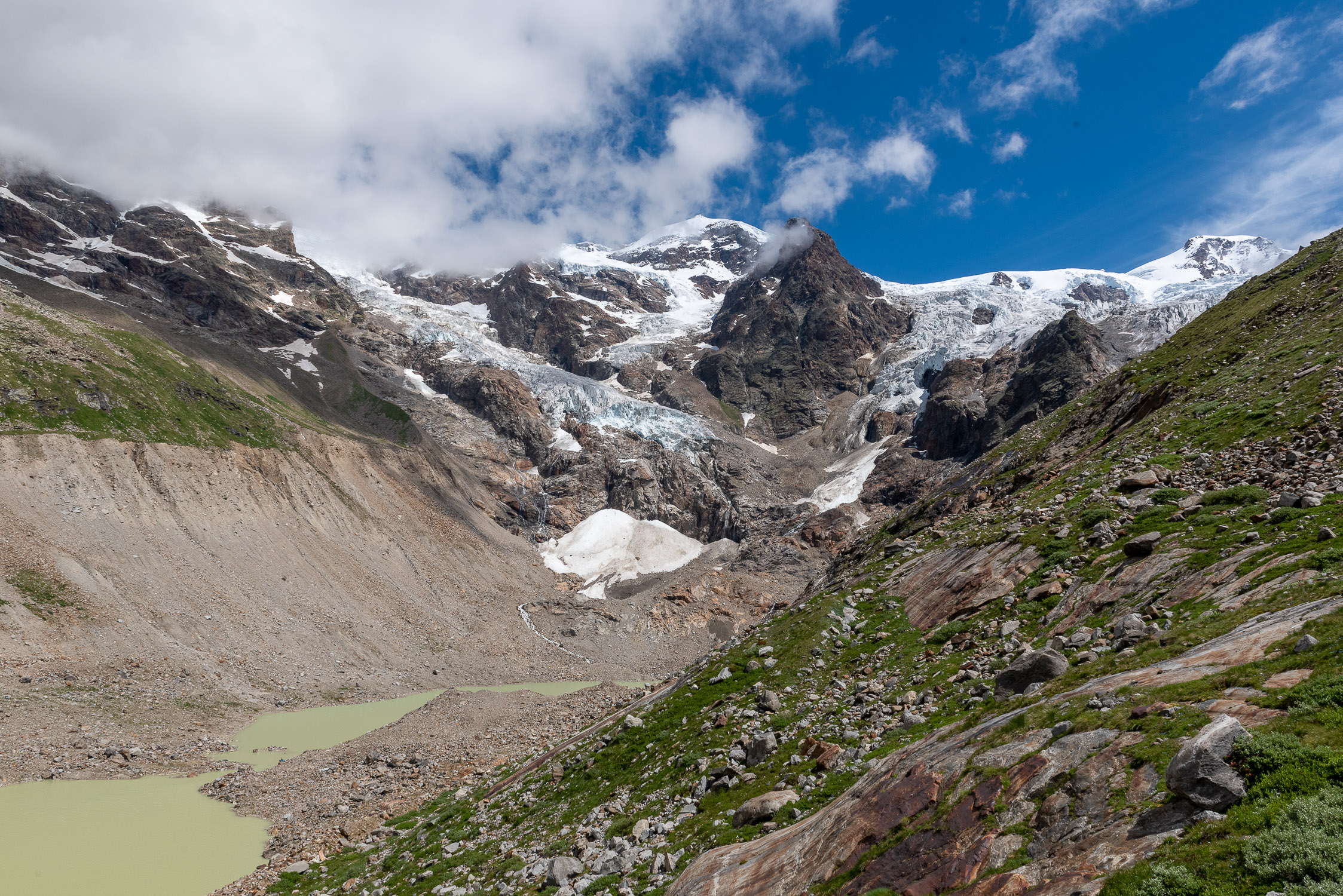
The headwaters of the Lys
Trail 7 starts in Stafal and arrives at the Sources of Lys (2417m) . It is 3304m long and the total positive elevation gain is 571m.
The approximate time for the climb is 1h44. The trail is rated EE difficulty.
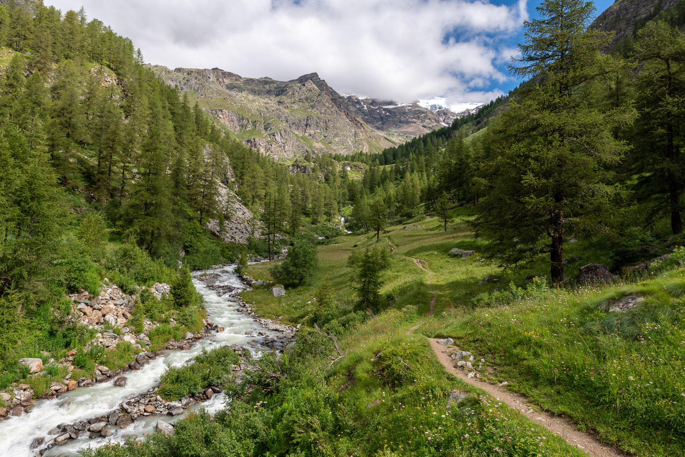
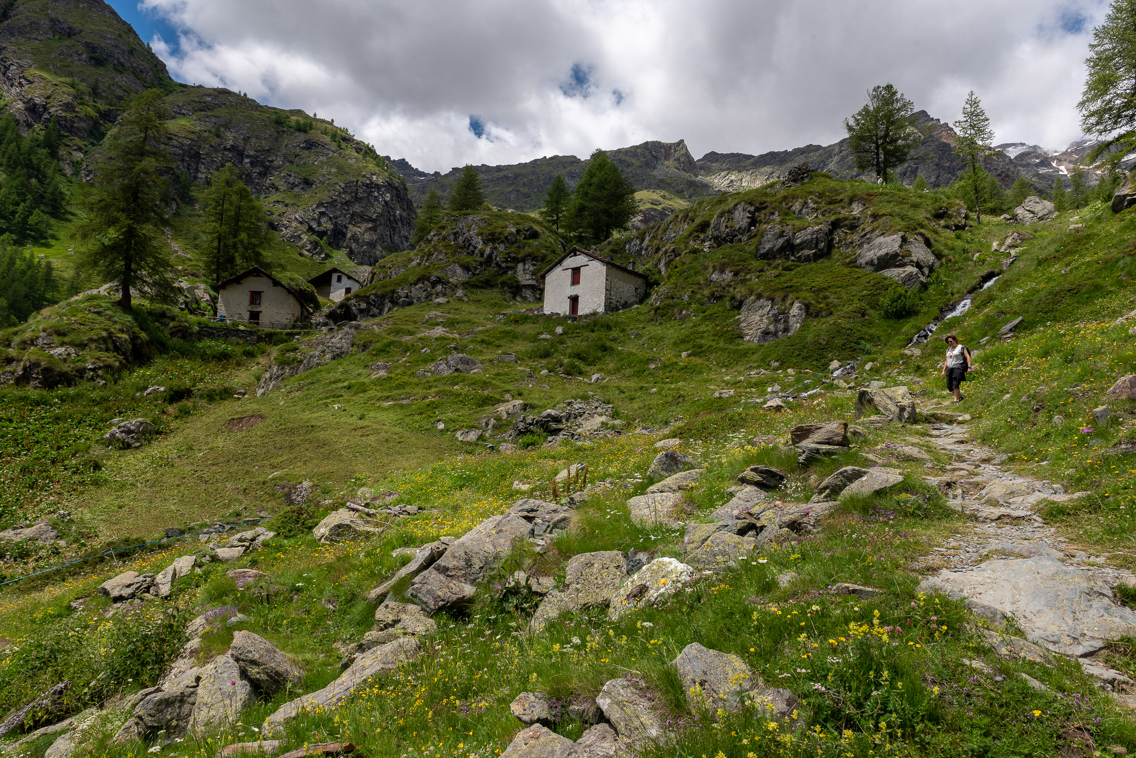
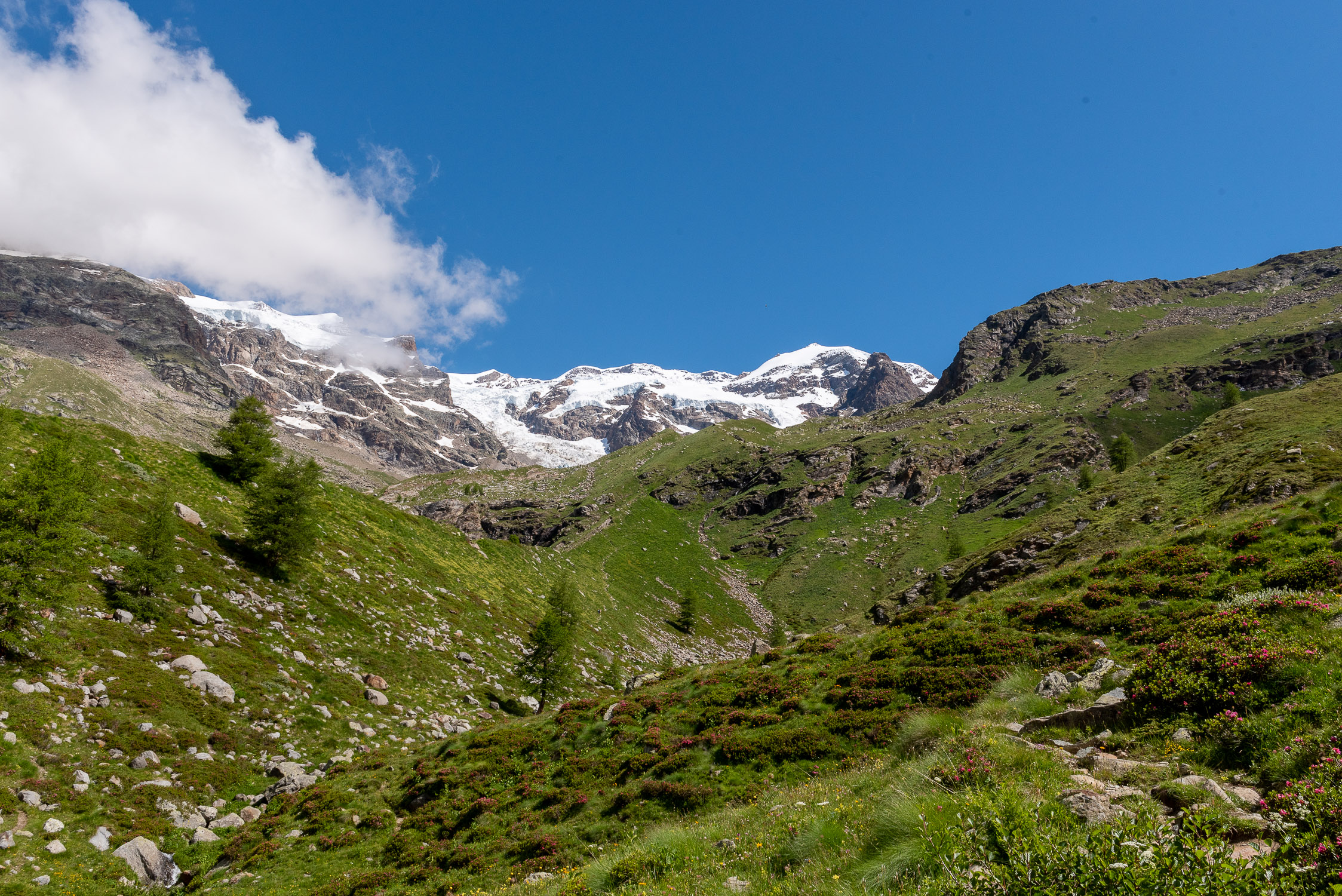
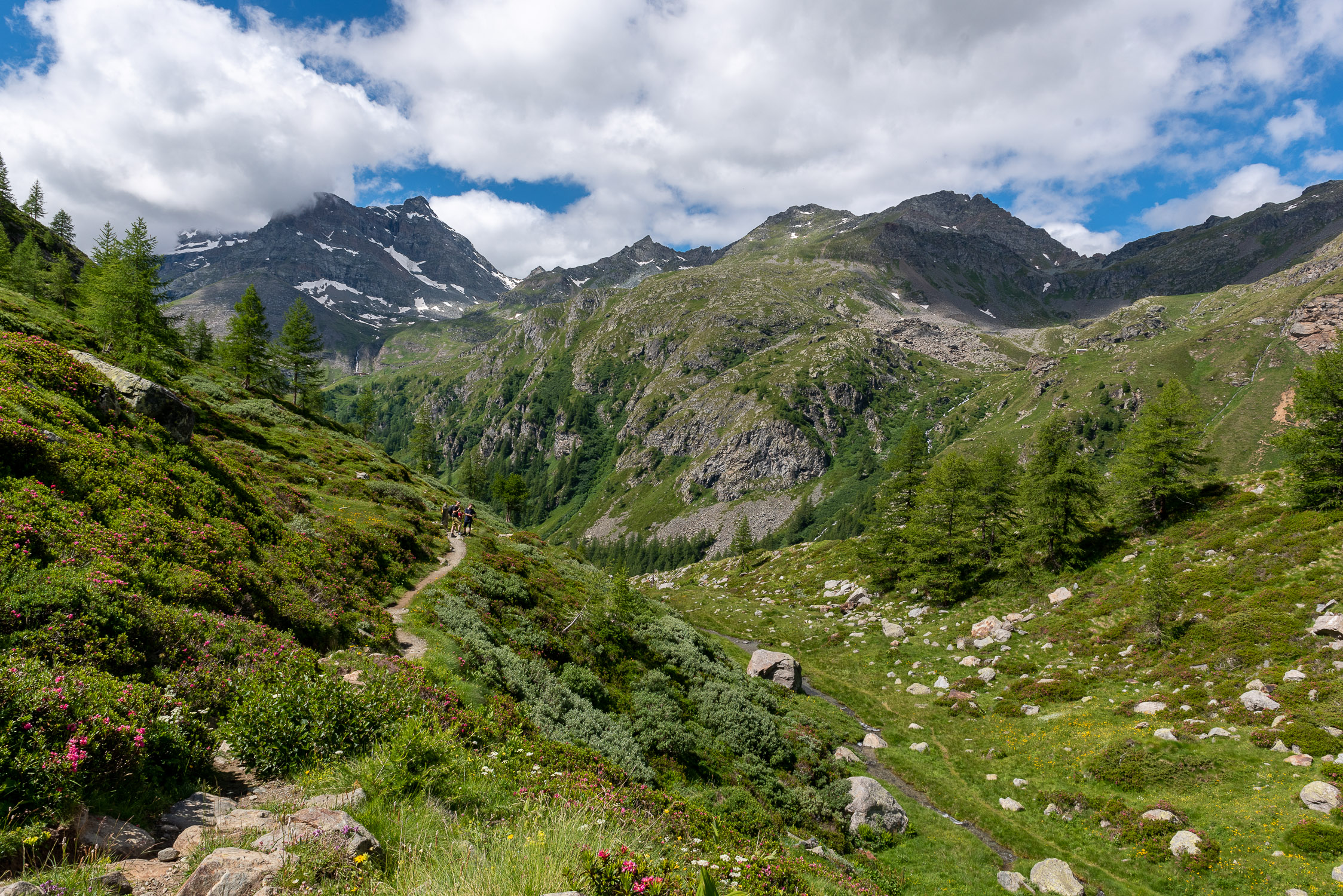
This trail is one of the most popular with hiking families: it is relatively short, and allows you to arrive in a short time at the border between “normal” and glacial mountains, at an uncommon and truly spectacular spot. The trail is beautiful: although it develops above the tree line from a certain point onward it runs through lush, flowery environments, due to the Lys watering the ground abundantly and constantly.
In terms of technical difficulty, the trail is rather gentle at the beginning and only steepens toward the end, where a very short section equipped with a rope to help overcome some easy rocks that might be slippery justifies the EE level and gives a thrill of heroism to the children who venture there.


