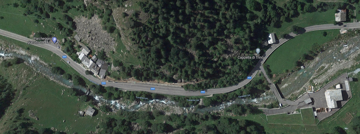
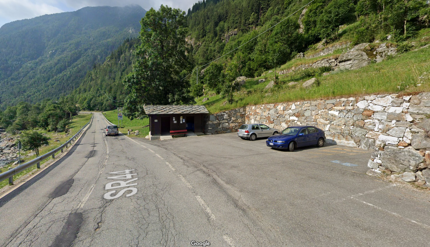
It starts right in front of the “stadel” with a tiny “Trino” sign, in front of which is the marker post.

The beginning of the trail
Right next to the small church you have to turn right into the forest, which you go up for a very short distance until you reach a wide road in the forest…

The road through the forest leading toward Axelbode
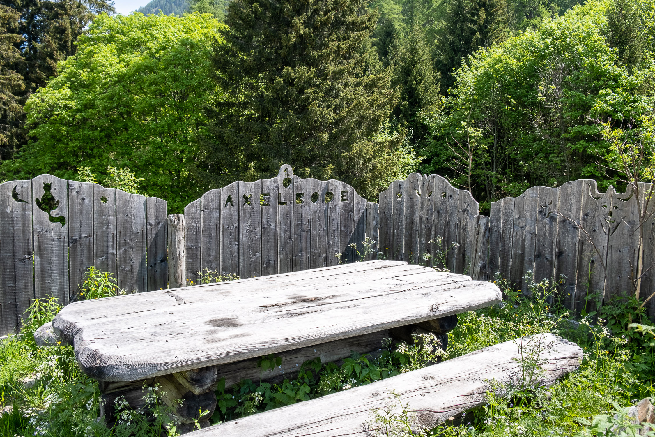
…which continues for another 50 meters or so until you reach the Axelbode hut (nice carvings along the fence).

The Axelbode chalet
From Axelbode the actual trail starts, in this gently sloping and well-marked section. One passes a curious shelter at one point, with an inscription “Rifugio Tovaric / 1976 – 1986.” They explained to me that Tovaric was the dog of a gentleman who vacationed in Trino, and that was the stone under which the dog and his human friend took shelter when they were caught in the rain. When the dog died, the man decided to remember him in this sympathetic way.

The Tovaric memorial!
After the Tovaric hut, there is only one spot where you have to be careful, because the marker stamp has a faded arrow to the right that might slip through.

At this point be careful not to go straight: turn right
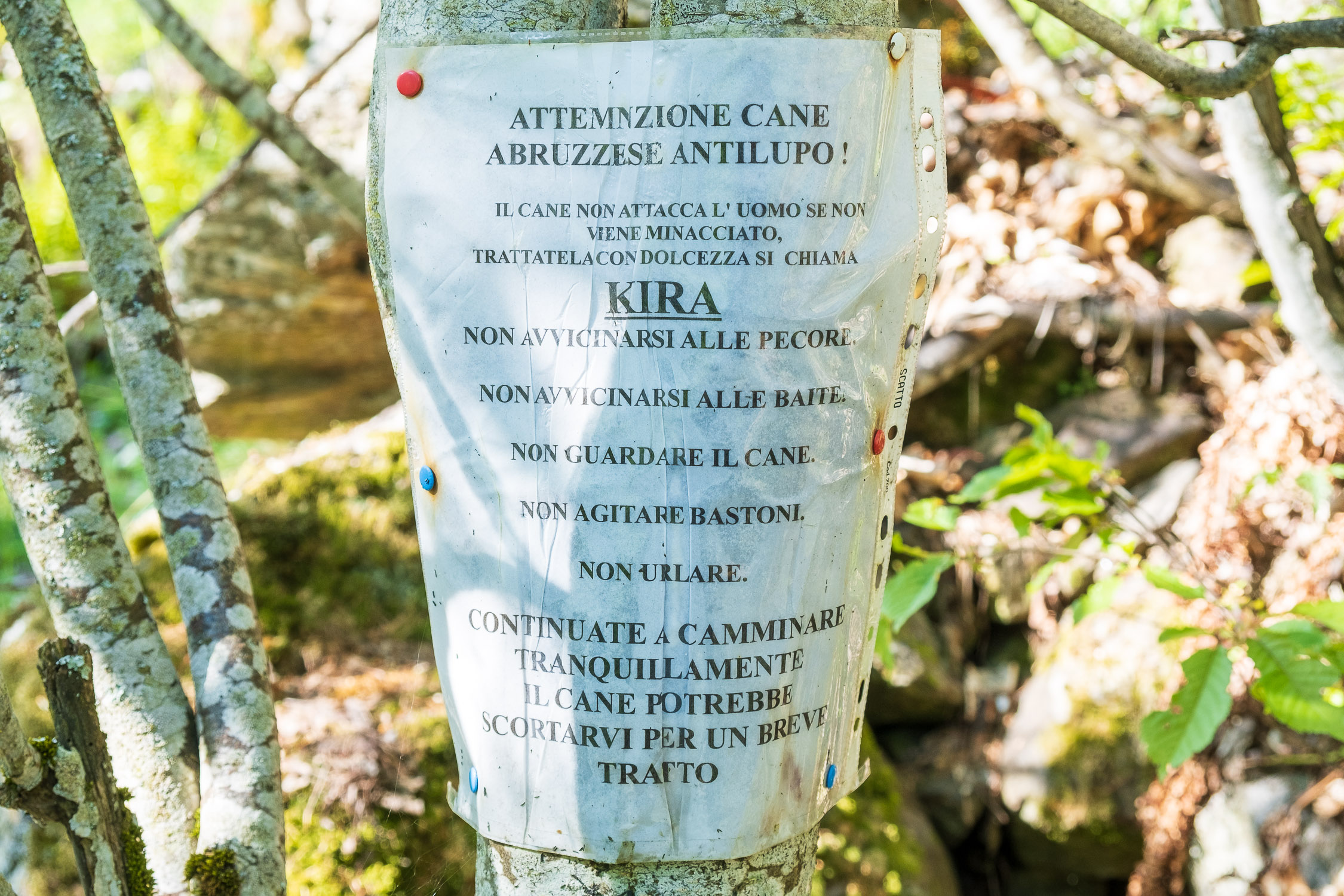
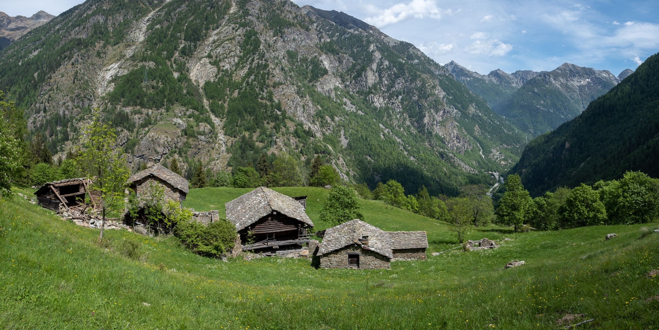
After a few more meters, the trail comes to an opening in the forest set at a scenic spot where the Rong huts are located.

Here’s Rong: notice the sign warning about Kira…
Just before the huts the trail climbs to the right: here it is not very evident, in fact you have to go uphill in the direction of two lone pine trees (under one of which there is a trail marker)…

The trail climbs steeply and inconspicuously toward those pine trees on the right
…beyond which (past a culvert from which a noisy jet of water often starts) the continuation of the trail is identified through a dark opening in the dense forest.

The door into the woods where the trail enters
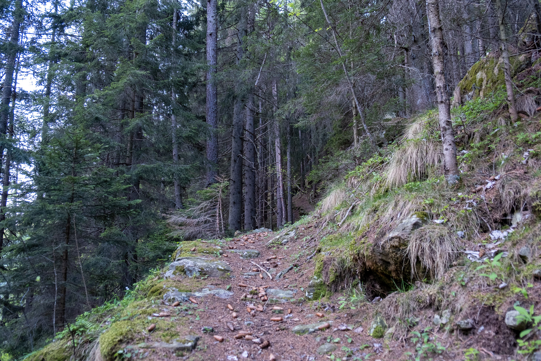
Entering the forest, a short leg-breaking section begins: you have to climb with recklessness, following the ever-obvious trail that climbs in tight turns.

The great slope of the trail in the forest…
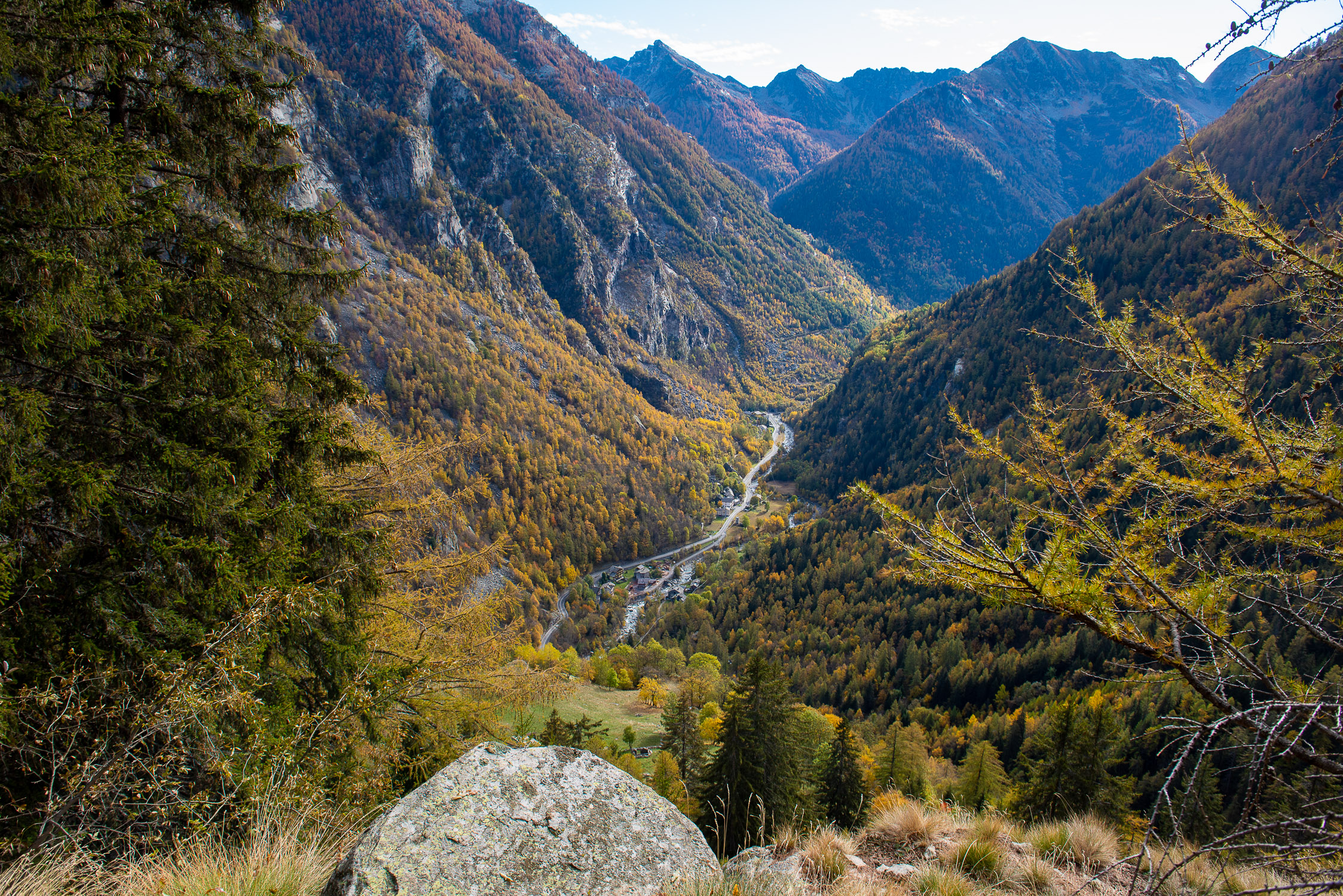
A small vantage point is reached, a real cliff that juts out over the valley…

Along the trail a window to the lower valley
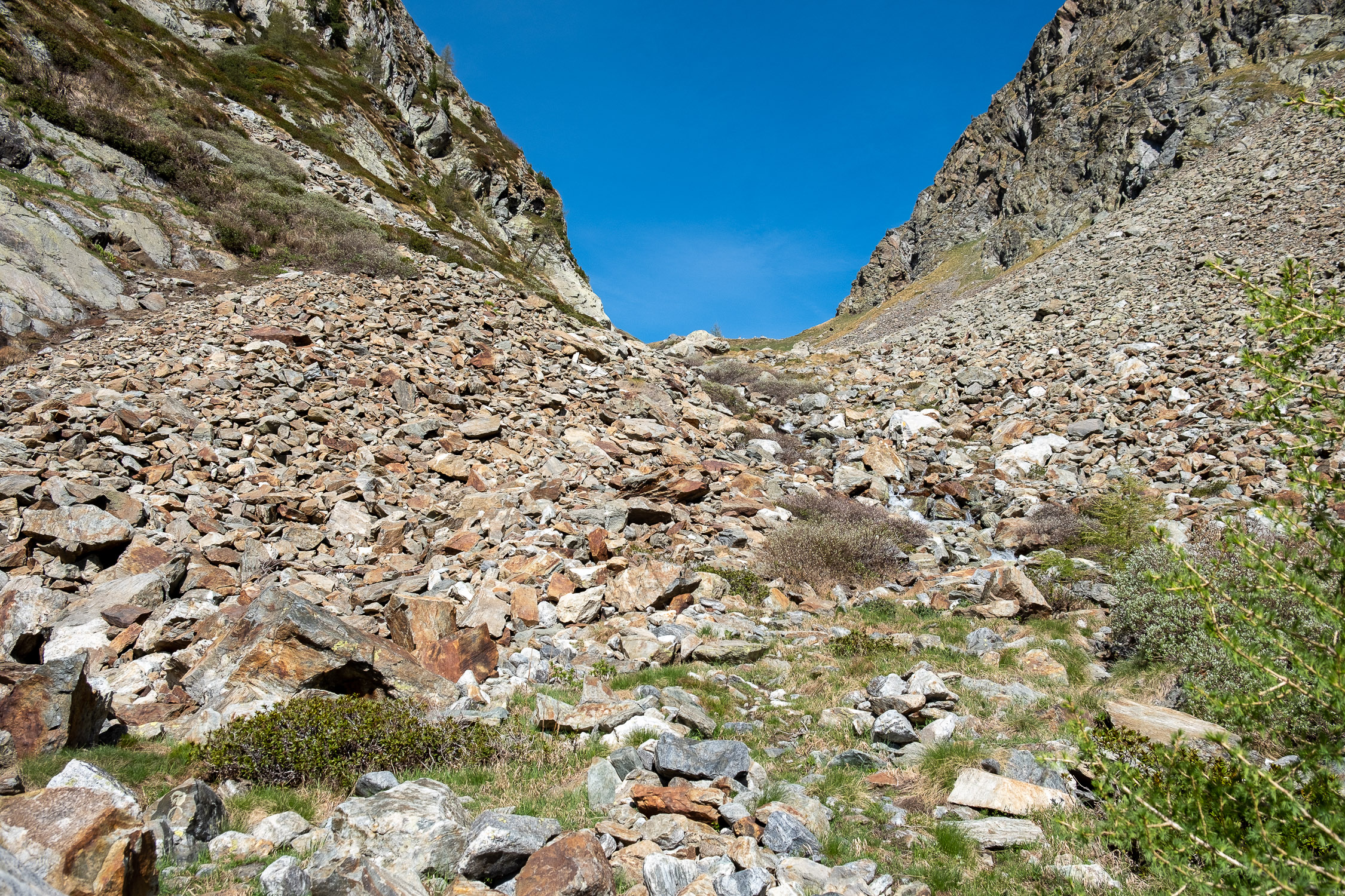
…after which you come out of the trees for the first time: at about 1670 meters you pass a first broad scree, climbing diagonally to the left.
 encountered after the section through the forest")
The first large scree (1670m) encountered after the section through the forest
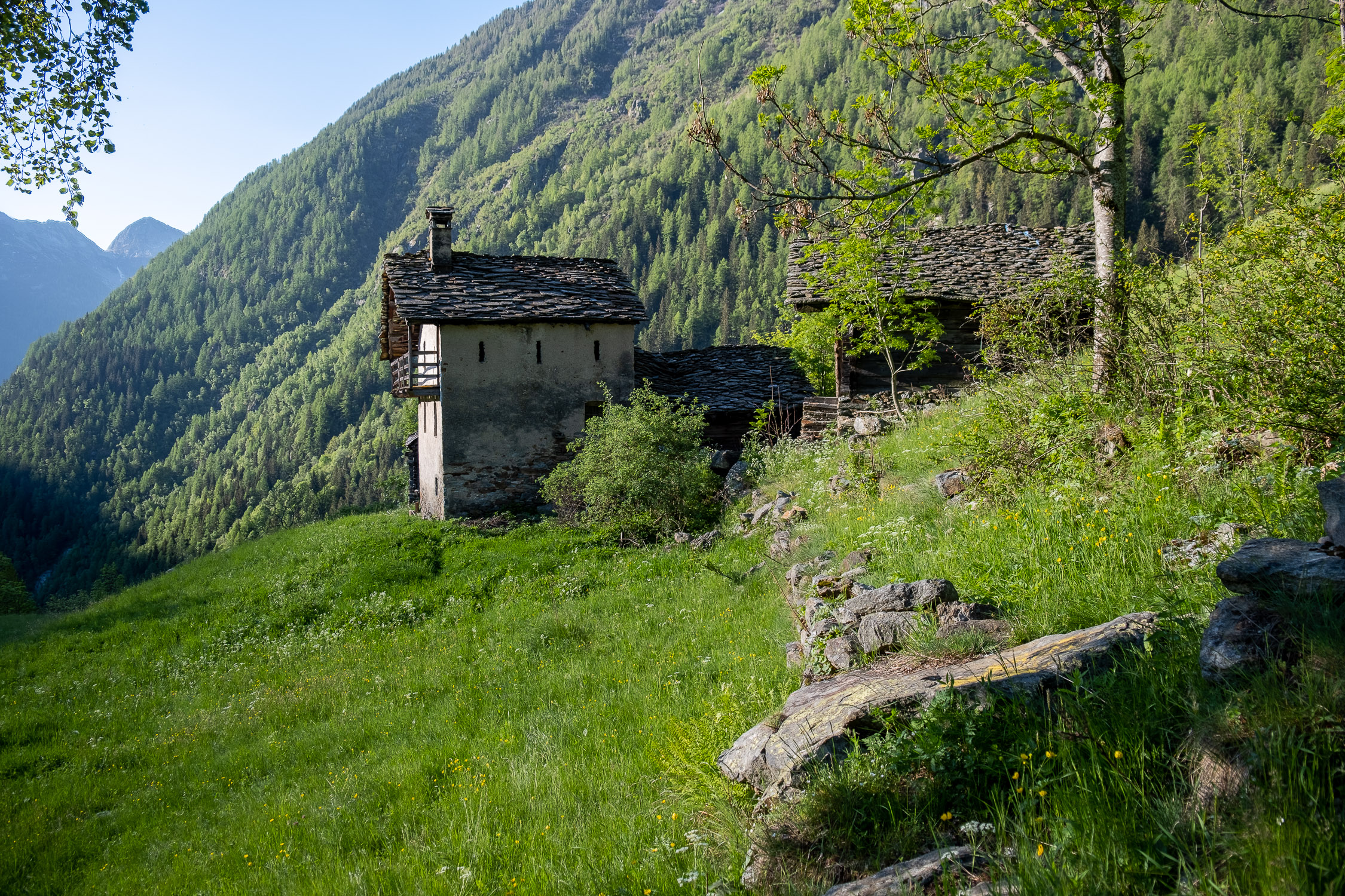
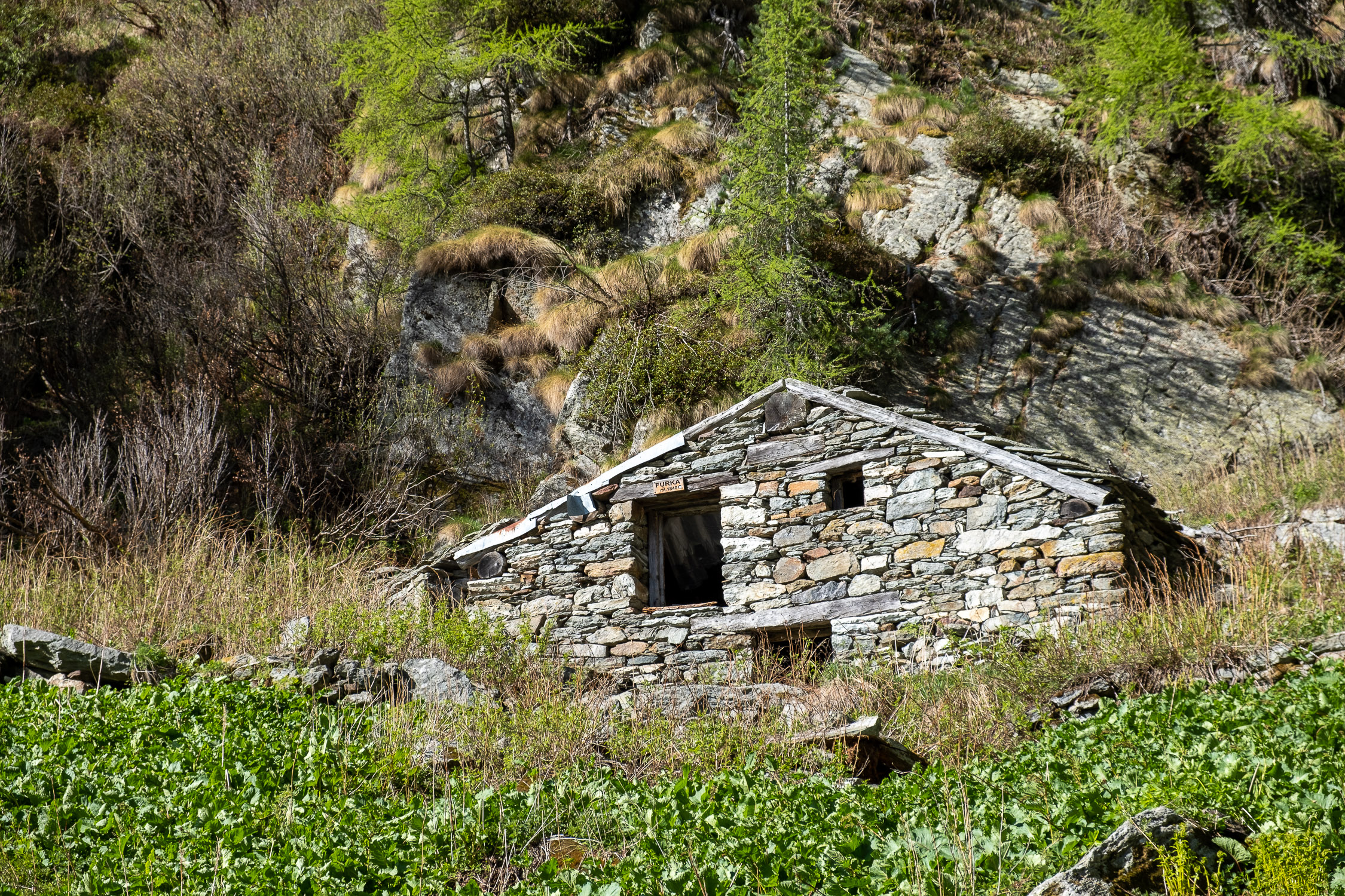
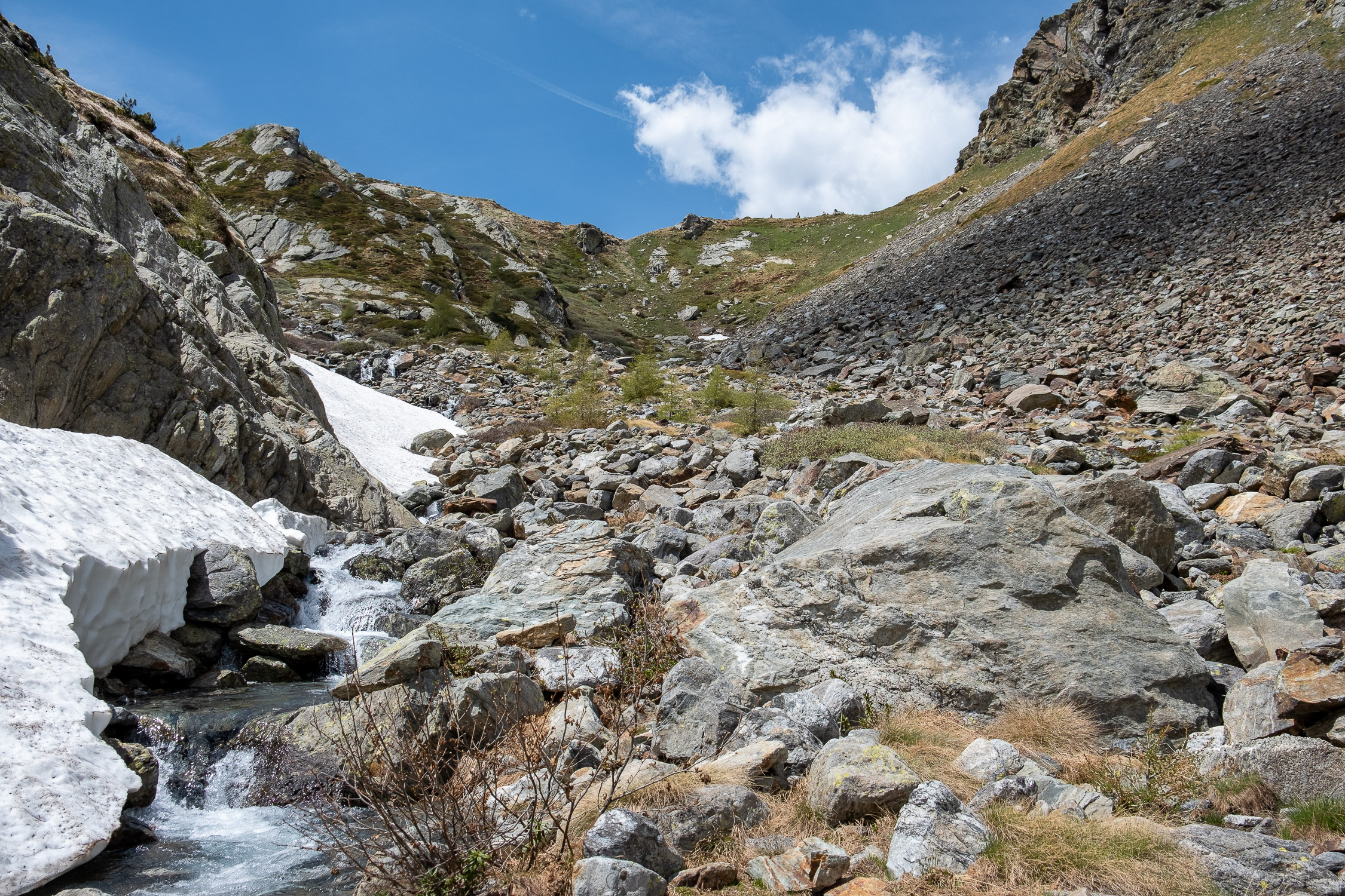
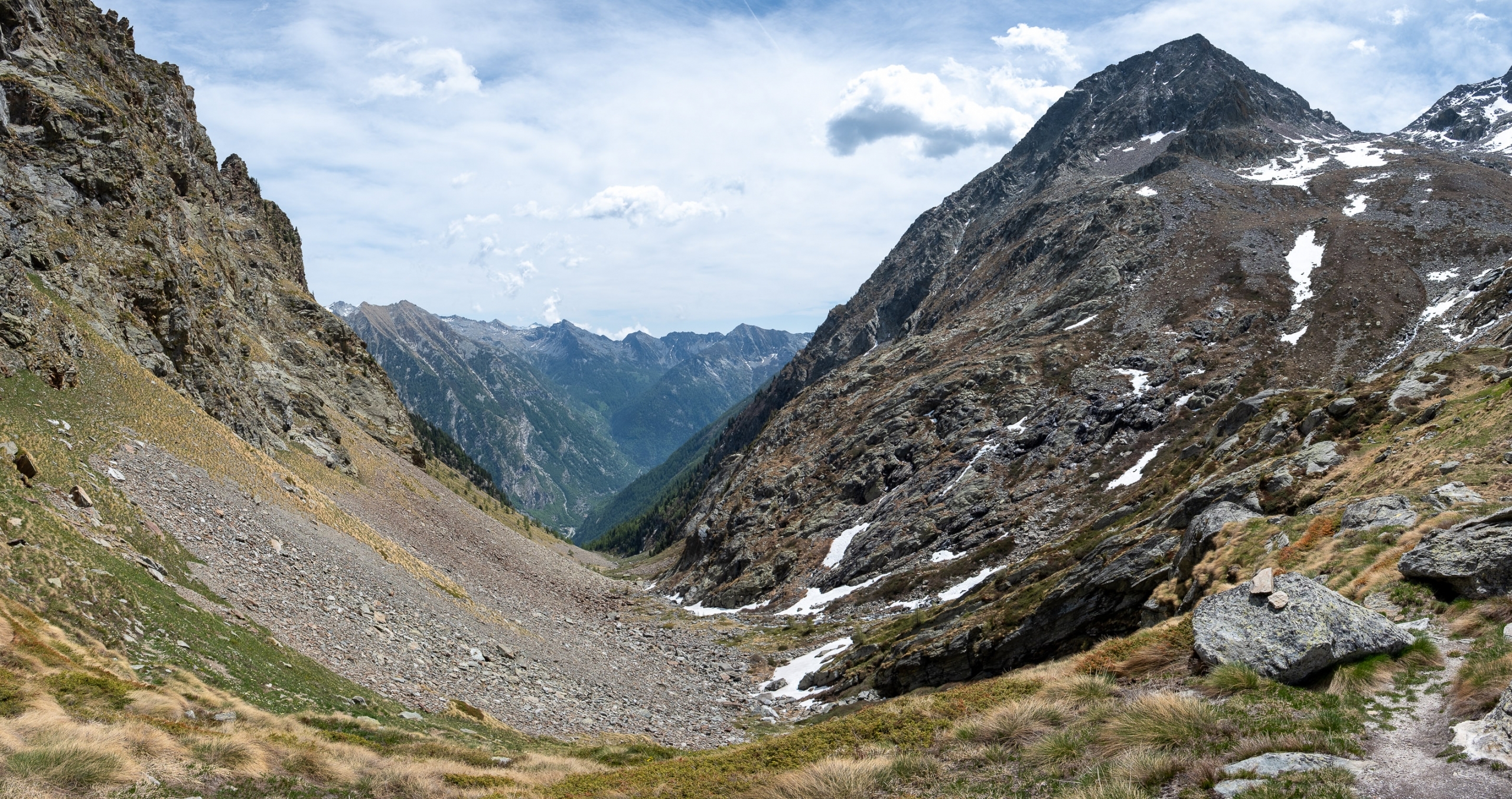
Reentering the trees in sections, we pass three more scree slopes. The last scree slope is where you finally reach the center of the Forca valley, which, from here on, you will traverse to the Frudière Pass. The Furka hut, 1840m, is immediately visible just above.

The last scree, you can see the Furka hut just above
Upon reaching this hut, you pass an undulation in the terrain and Frudière pass (2271m), the trail’s destination, will finally appear, up there at the bottom of the gully (there are still just under 400 meters of elevation to go).

Above the Furka hut, we finally catch a glimpse of the Colle
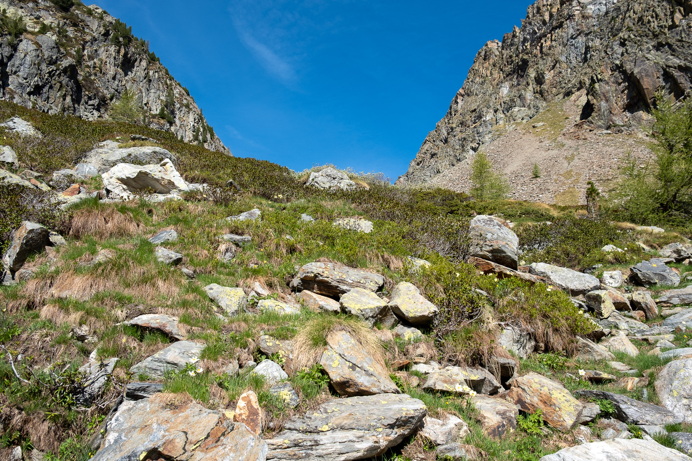
The rest of the route has very little variation. You have to overcome 4 steps in all, the first one in particular (at crica 1980m) very stony (but the trail is marked very frequently, so you can find the trail without problems).

The first step on scree, 1980m
Arrived below the last slope….

The final slope before the col
…You follow the trail up it on the right with a handful of turns. You will have to cross two very simple steps on a large flat stone: there are iron steps to facilitate crossing (delicate only in ice).

The metal steps that facilitate the passage
After crossing the slope, we finally arrive at Frudière Pass (2271m).
")
Frudière Pass (2271m)
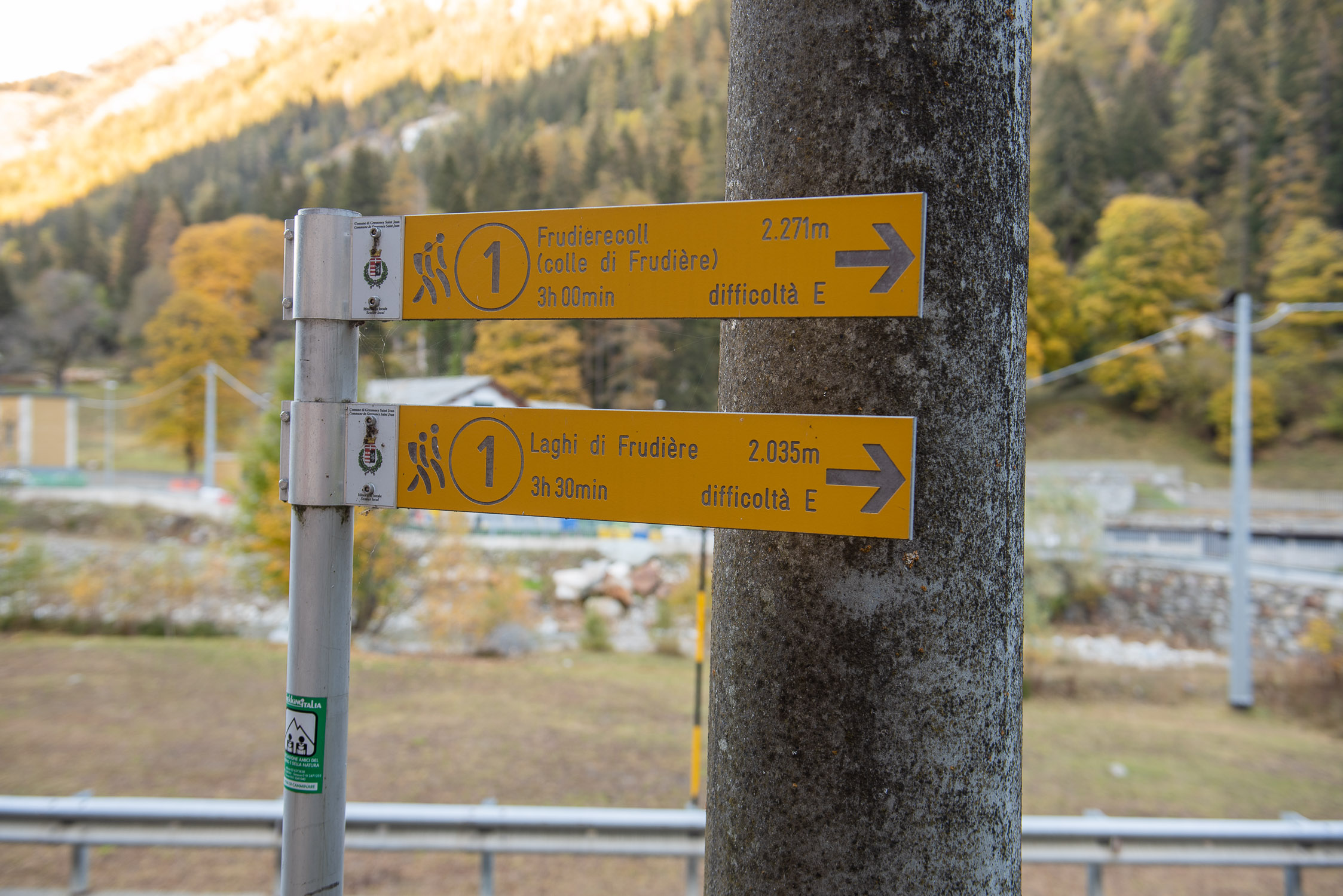
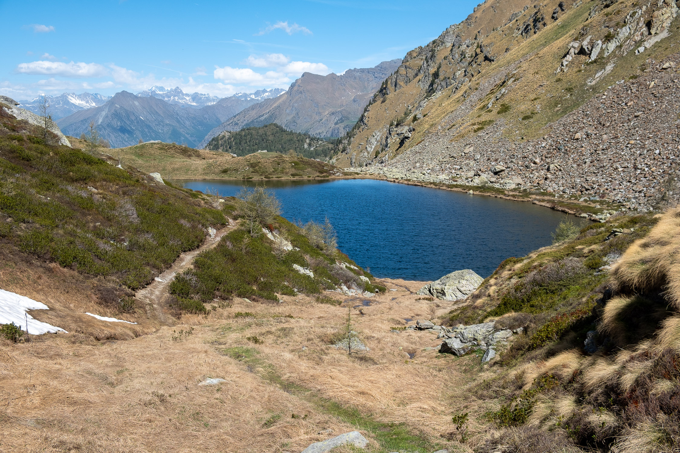
There you will find the large cairn marking the end of Trail 1, the connection to Trail 1A (coming from Weismatten) and Ayas Valley Trail 9, which leads to Lower Frudière Lake (2000m) and then down to Graines in Val d’Ayas.
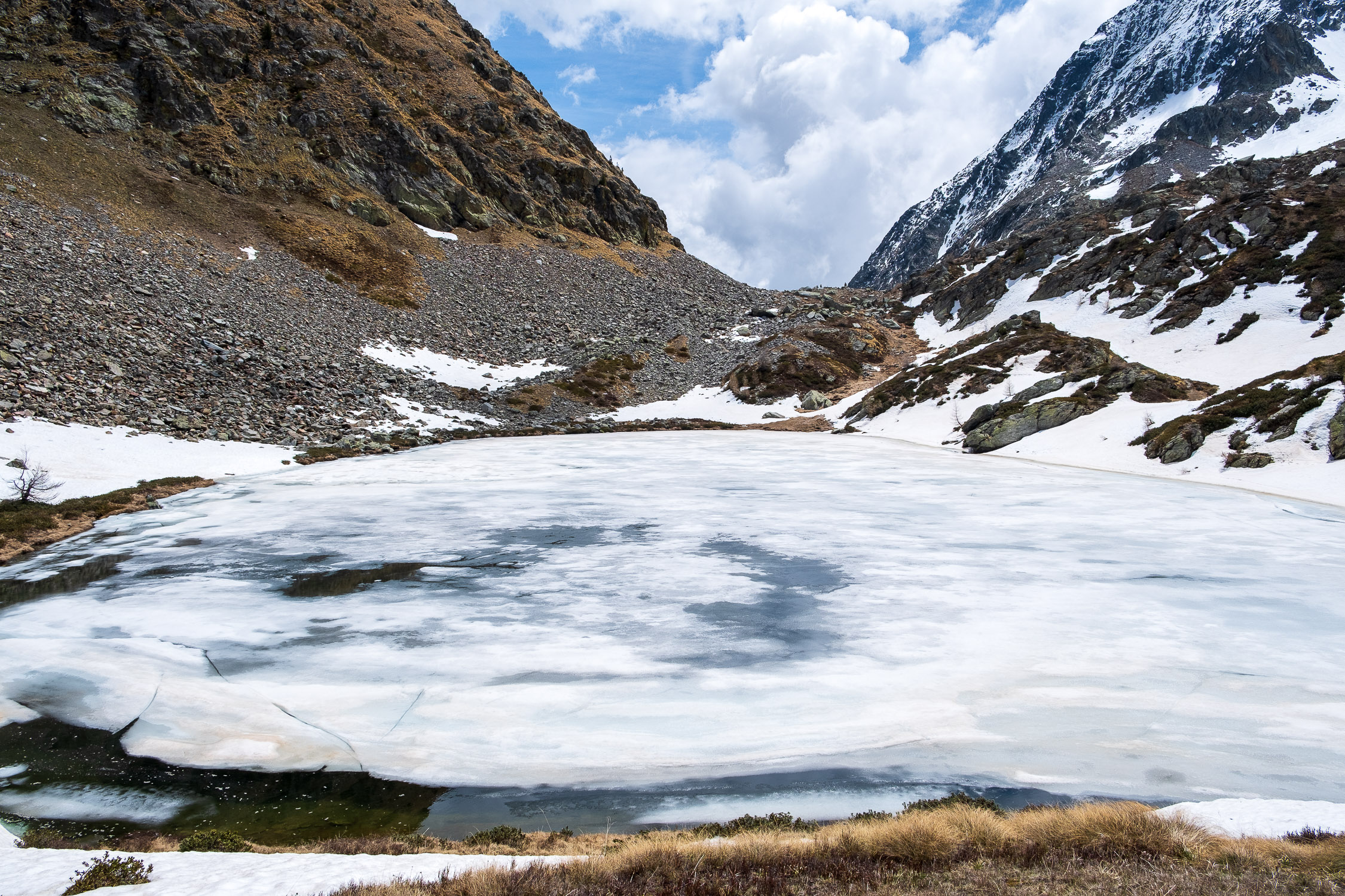
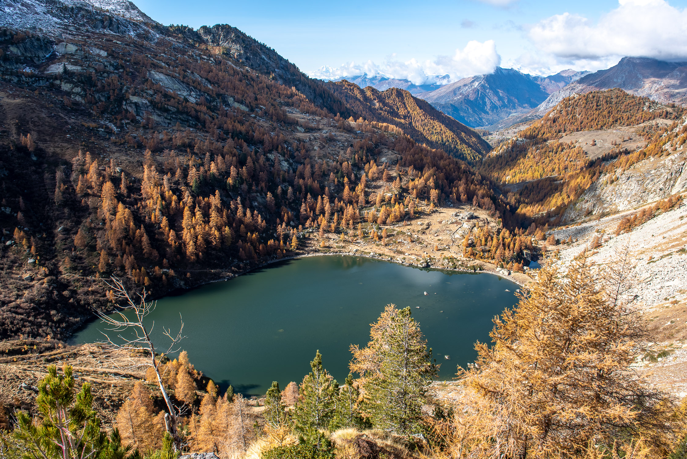
Behind the cairn is a glimpse of Upper Frudière Lake (2240m), whose shores are easily reached by following the aforementioned Trail 9 downhill for a short distance.

Upper Frudière Lake as seen from Frudière Pass
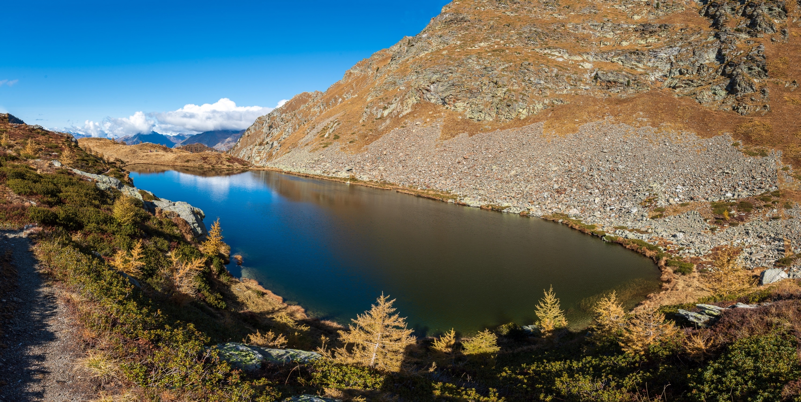
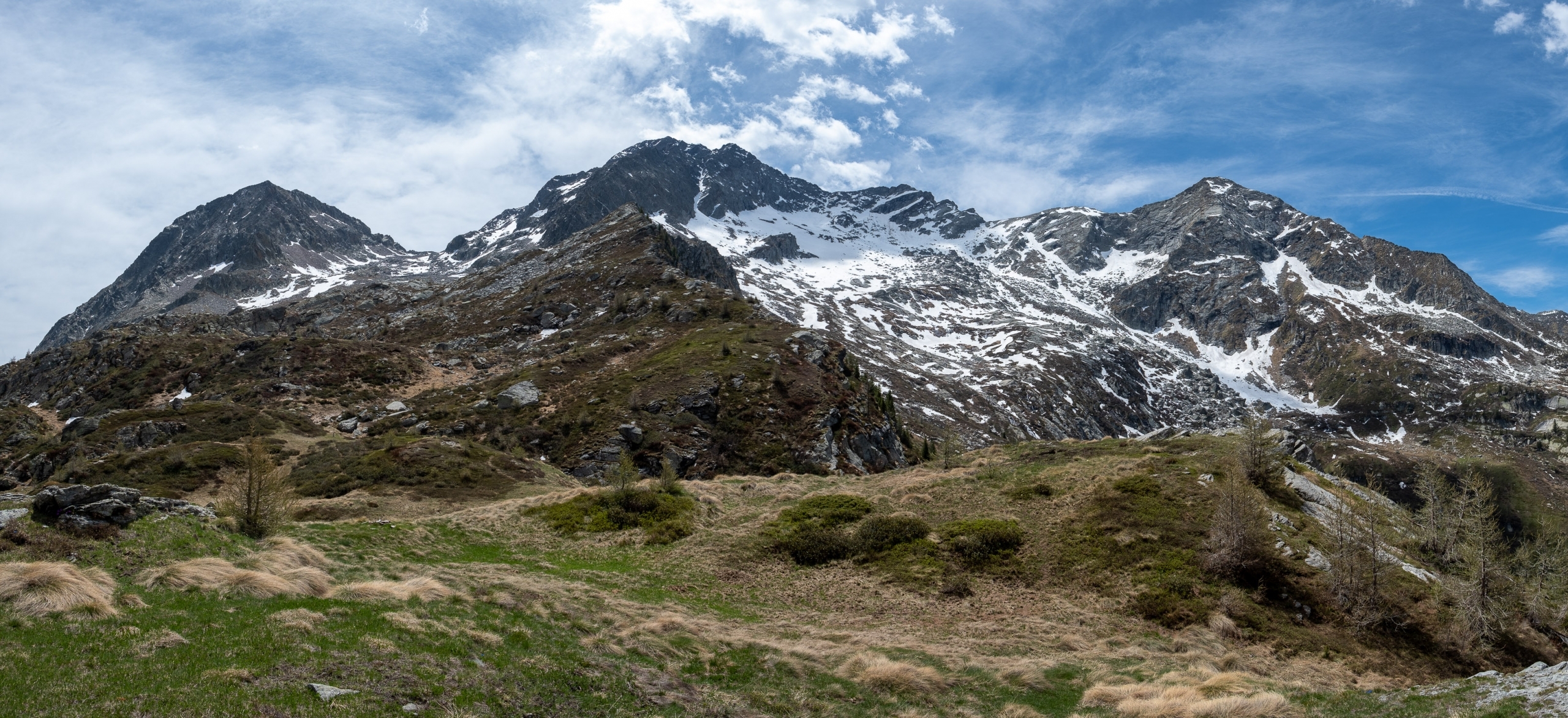
To the left of Lake Superior, 3 peaks dominate from a short distance away: the first is Corno Maria (2754m), the second is Mont Nery or Becca di Frudière (3075m), and the third is Monte Soleron (2890m).
, Mont Nery (3075m), Monte Soleron (2890m)")
From left, Corno Maria (2754m), Mont Nery (3075m), Monte Soleron (2890m)
On the right, Lake Superior rests against the flank of Mount Taf (2523m): the route of Trail 1A can be seen on this steep slope, which ascends in wide turns to reach the Taf pass, beyond which it crosses to the opposite slope to head toward Weismatten.

The flank of Mt. Taf, where Trail 1A to Weismatten ascends
As soon as you get behind the Upper Lake, push a few meters further and you will also see below the much larger Lower Frudière Lake (2000m), which can be reached by continuing along the Val D’Ayas Trail 9.

The lower lake as seen from the upper lake
The return trip does not present any difficulties whatsoever: the only, tiny one is encountered when you have just passed Axelbode and have to turn off the road to take the small trail back to Zer Trino: if the trail is shaded, the detour on the right is not immediately visible. One has to keep an eye out for a very faded yellow trail marker stamp on a rock that is right at the entrance to the little path. In any case, should you miss the detour, no harm done: you will make it all the way to the end of the road, which comes out about a hundred meters upstream from the start of Zer Trino.
")
Downhill, after Axelbode, take this detour to the right (in the shade it is barely visible)


 at the beginning of the route in the gully")


, Mont Nery (3075m), Monte Soleron (2890m)")

 (2476m)")


 encountered after the section through the forest")


")

, Mont Nery (3075m), Monte Soleron (2890m)")


")
