Frudière Pass (2271m), trail 1A
from Weismatten to Colle di Frudière
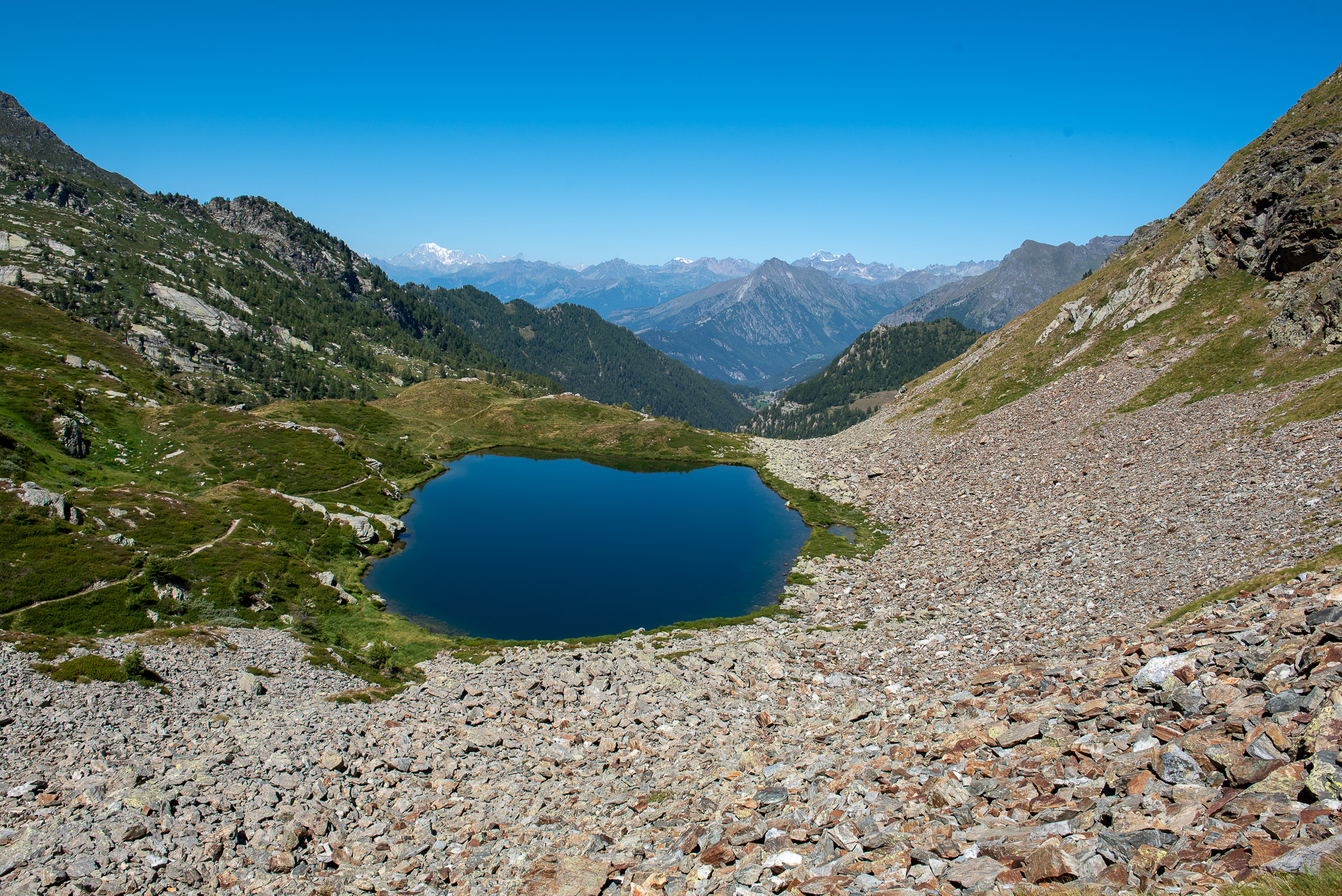
Lake Superior Frudière
Trail 1A starts from Weismatten and arrives at Frudière Pass (2271m). It is 3480m long and the total positive elevation gain is 533m.
The approximate time for the climb is 1h45. The trail is rated of difficulty E.
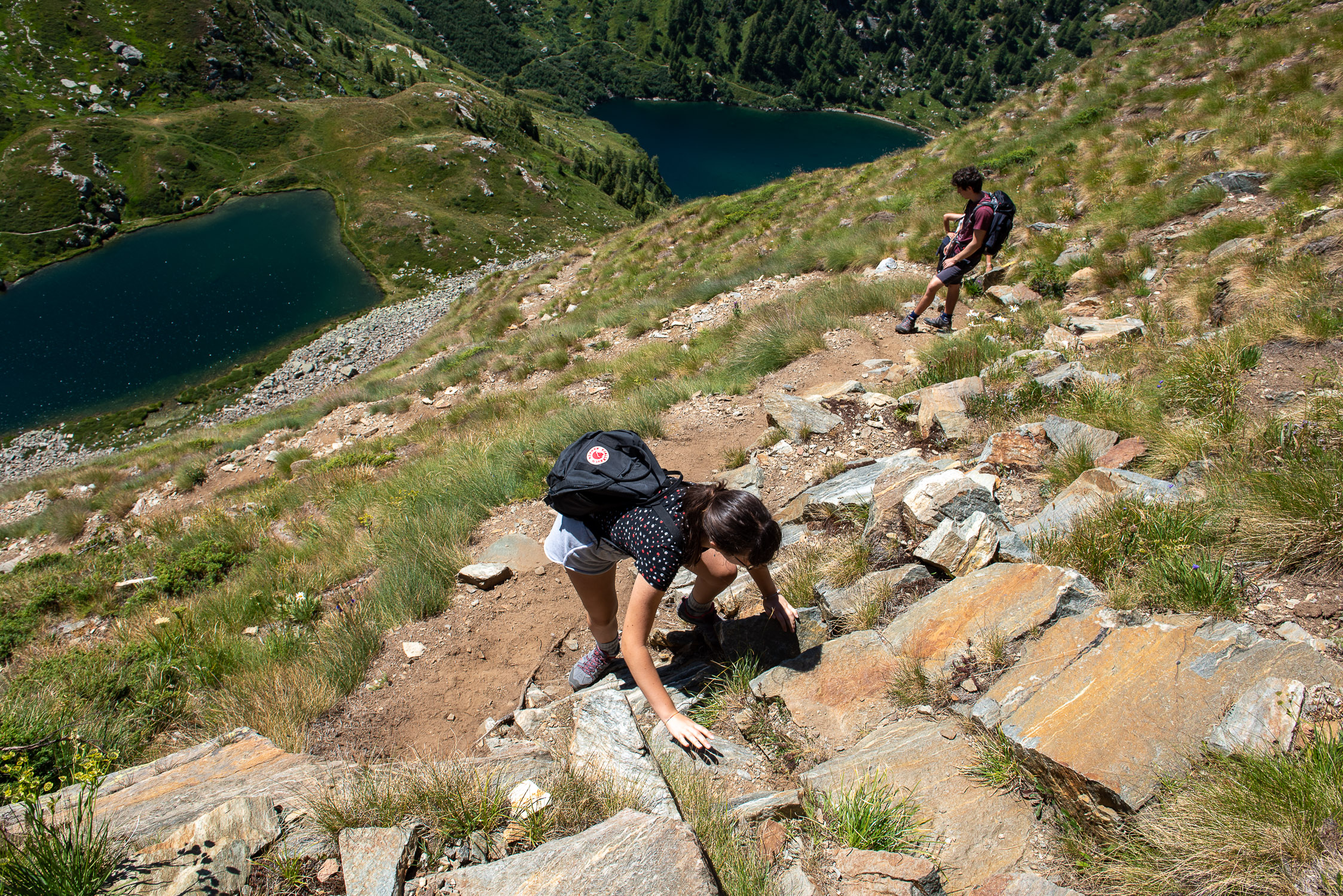
the steep path downhill to the lakes
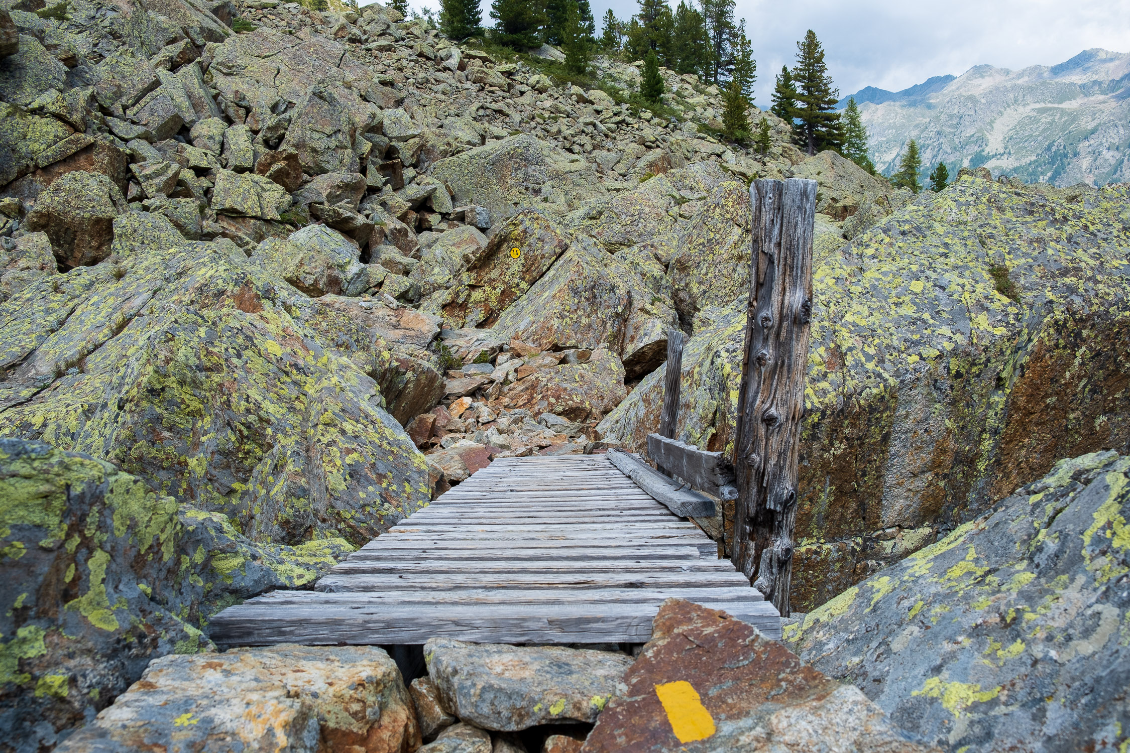
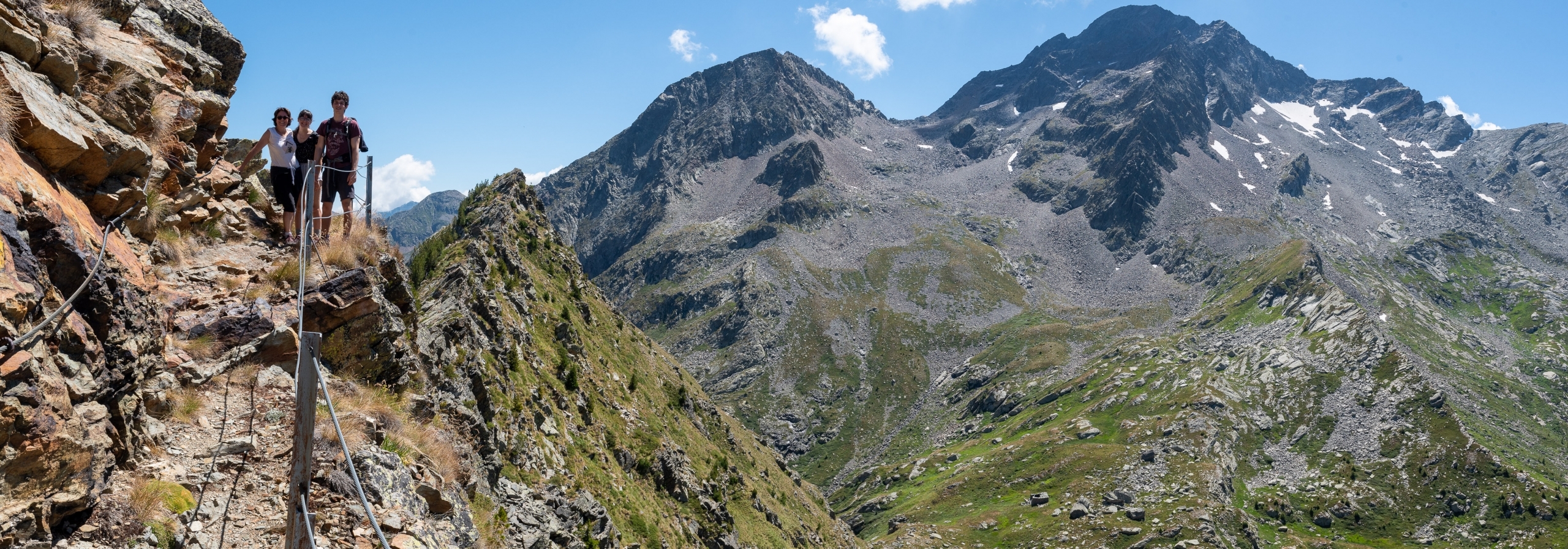
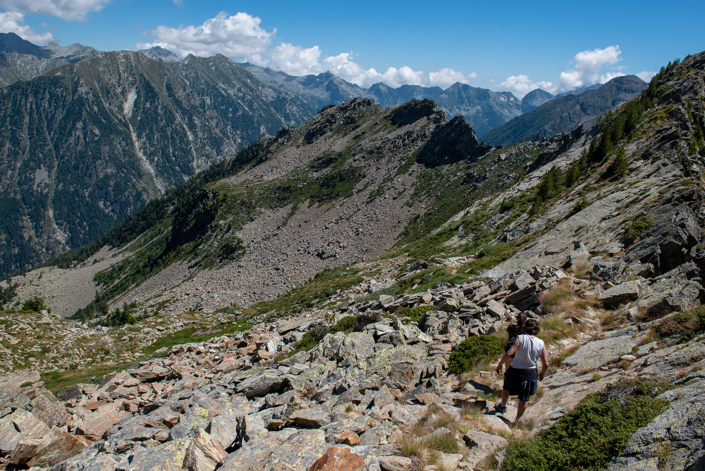
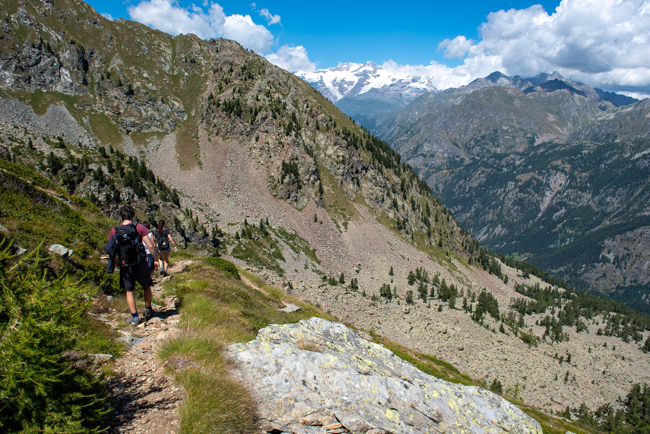
The trail starts from the arrival of the Weismatten chairlift (here for information on times and fares), which can also be reached via Trail 2. Immediately after leaving the reservoir, the trail goes around the shoulder of Punta Weismatten, crosses a large rocky valley, climbs up along the shoulder of Mt. Taf and, having reached the Taf col, descends to Frudière Pass and its wonderful lakes of the same name (it happens in summer to find scattered daredevils diving there).
Caution: this is a trail that is not too physically demanding, given its length and low elevation development, but the final piece, downhill to Frudière Pass from Colletto Taf, should not be underestimated. It is extremely steep and rather slippery, due to gravel and stacked rocks that make the pass unsteady: although it is classified as an E trail, a double EE would not be out of place at all.


")


")

