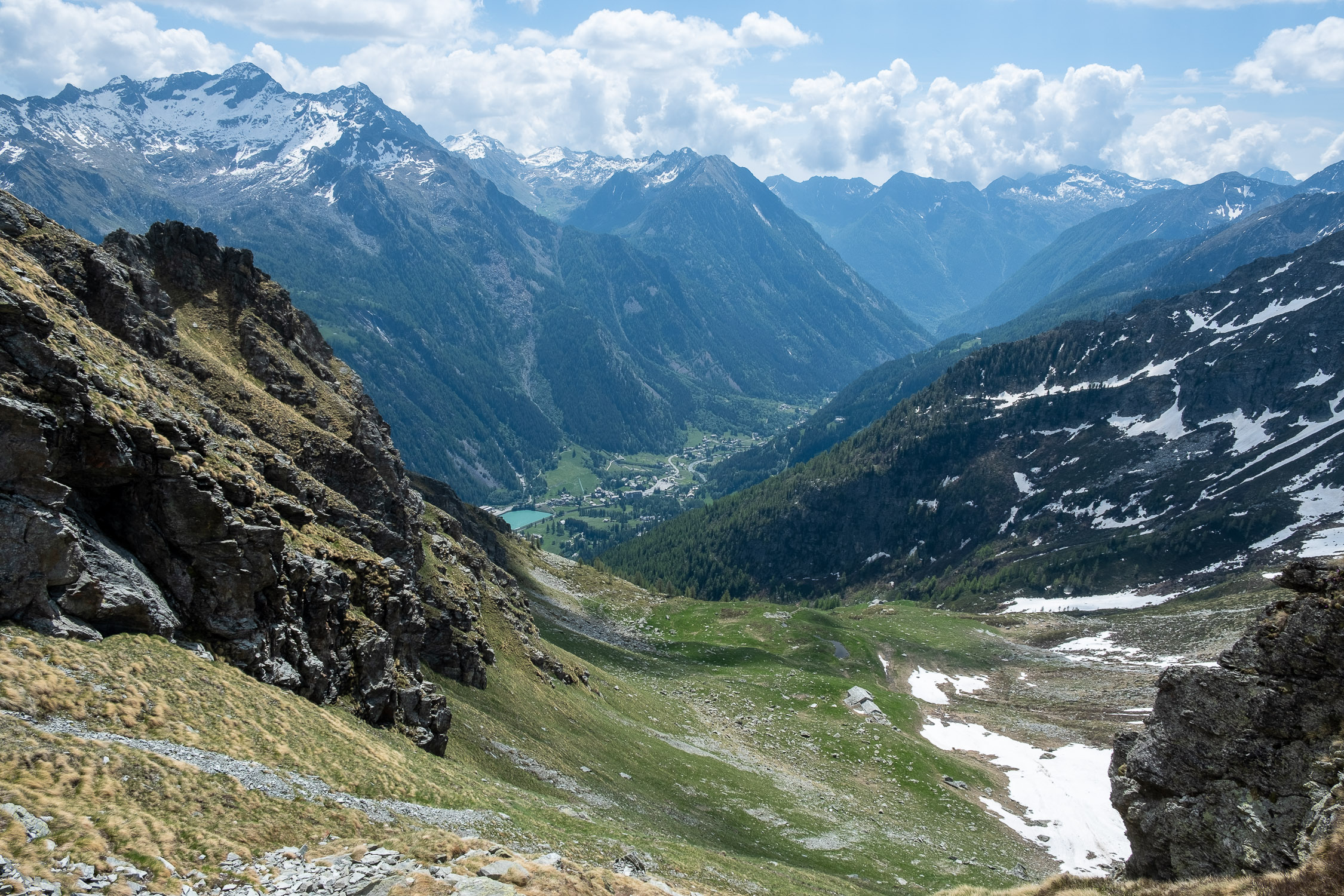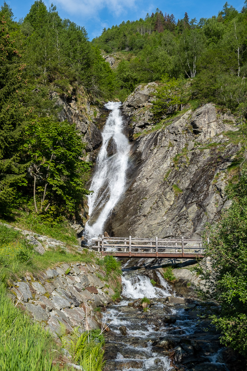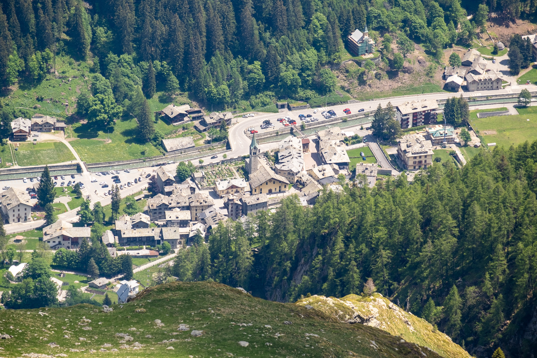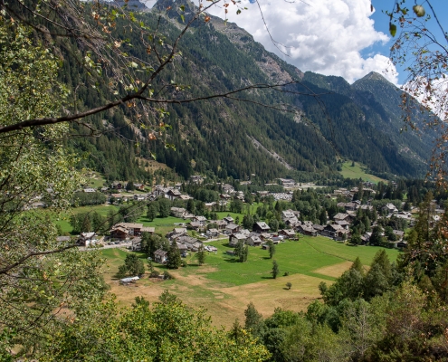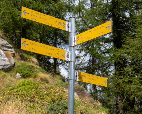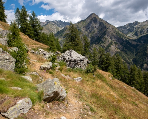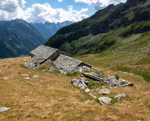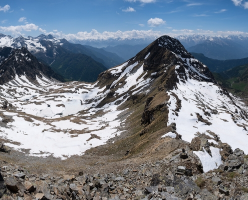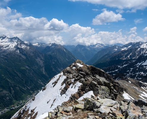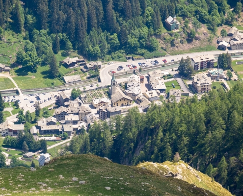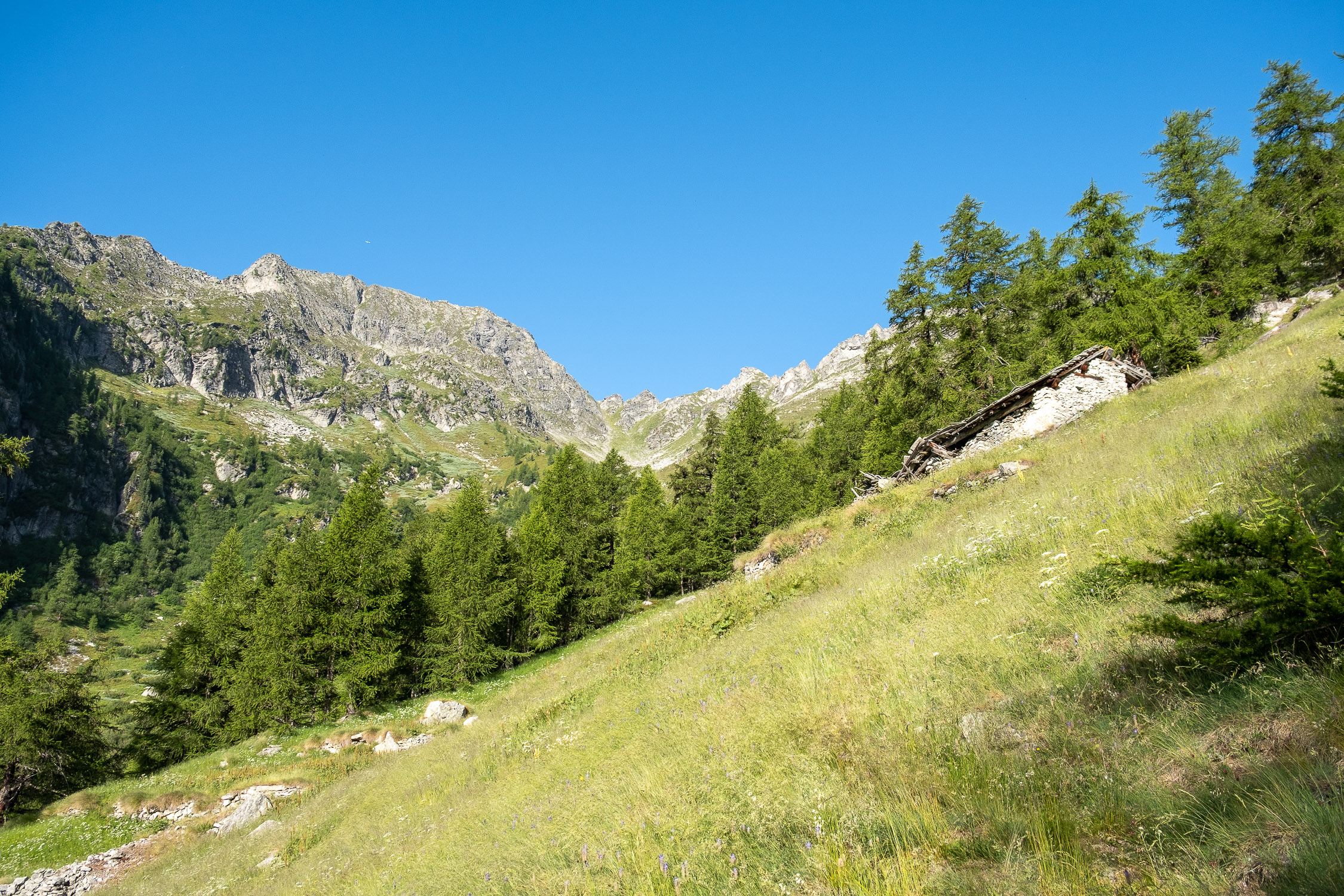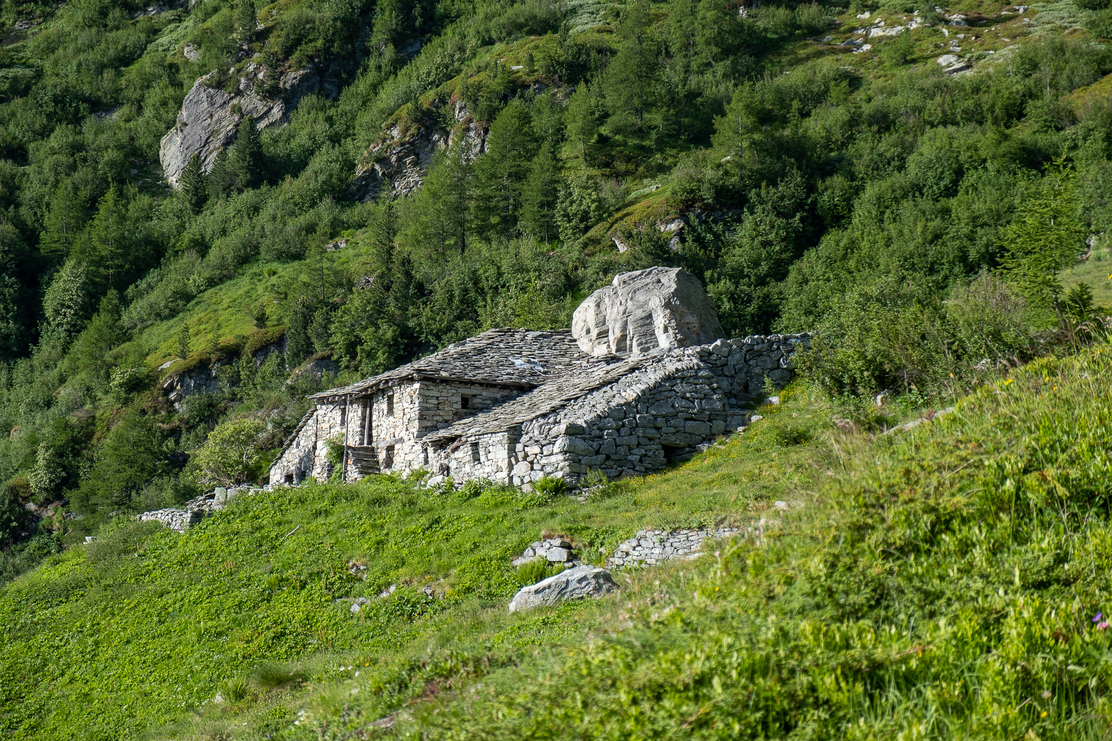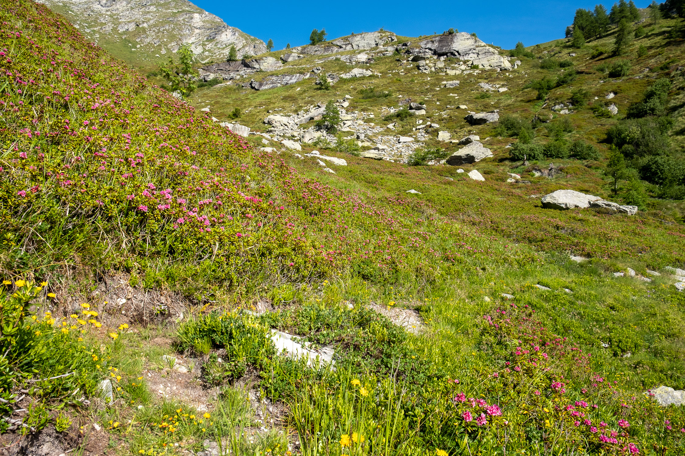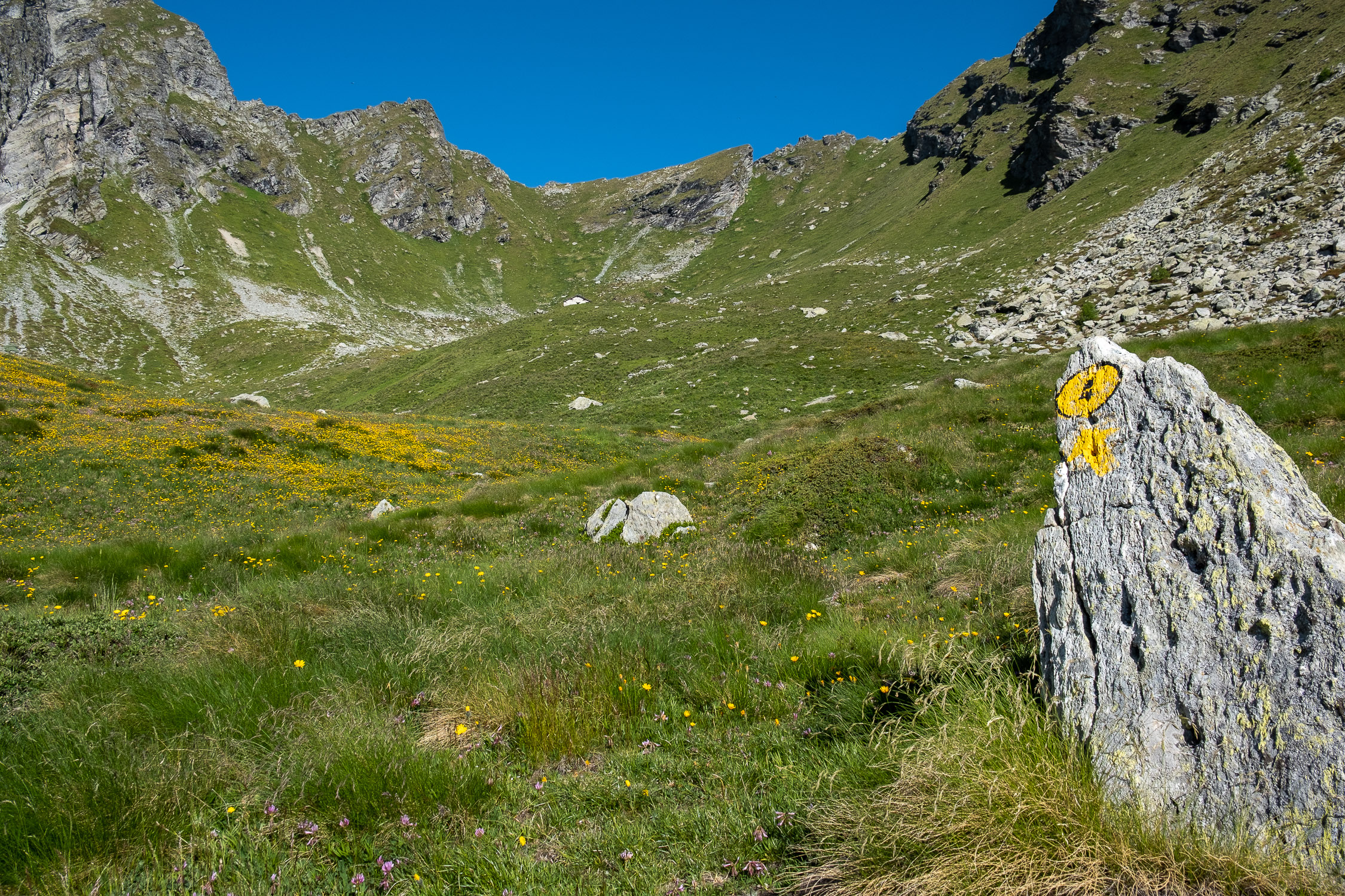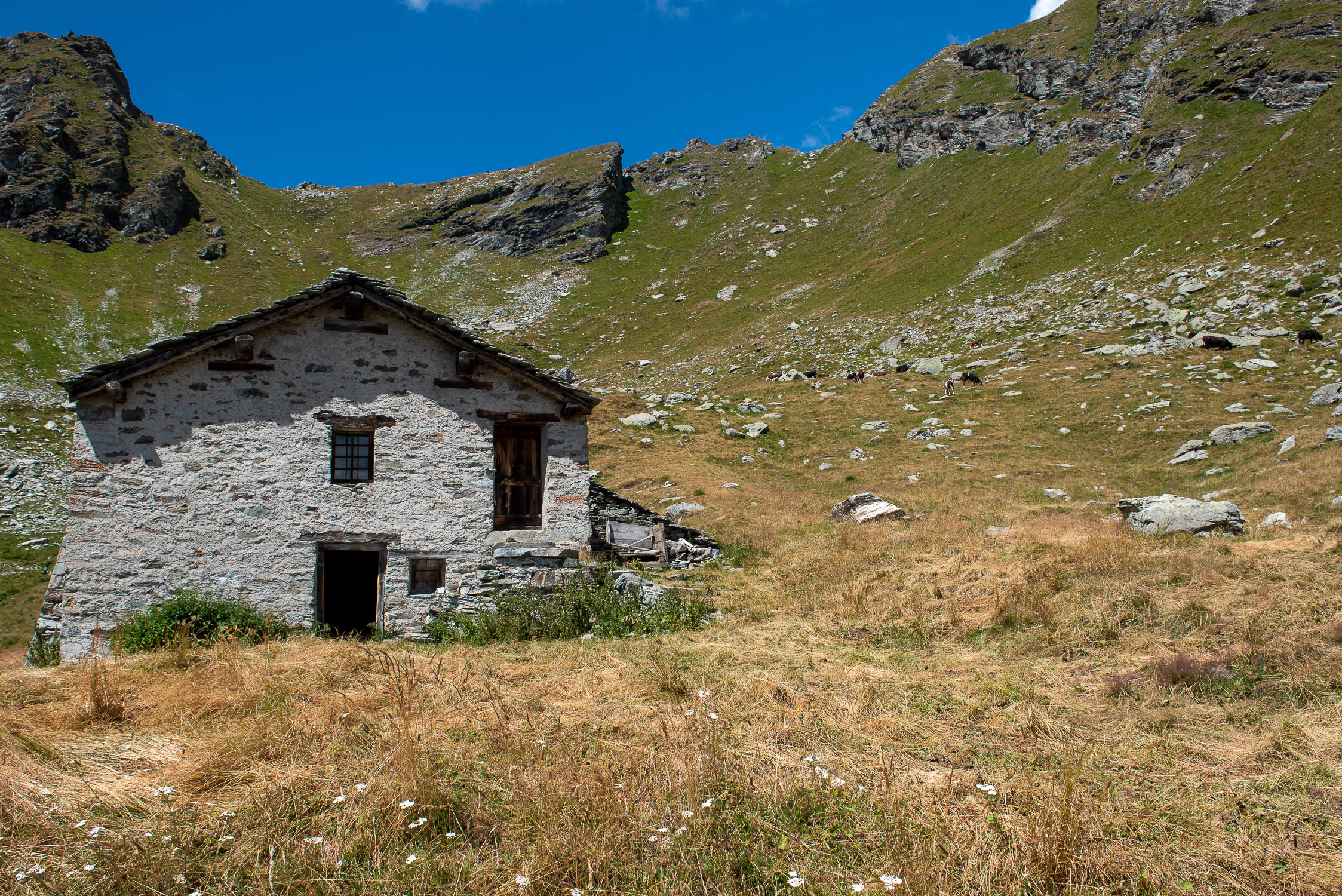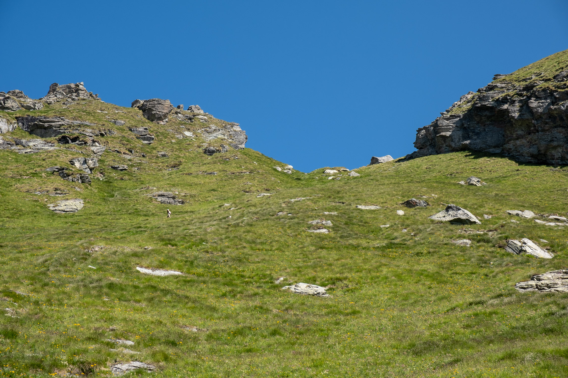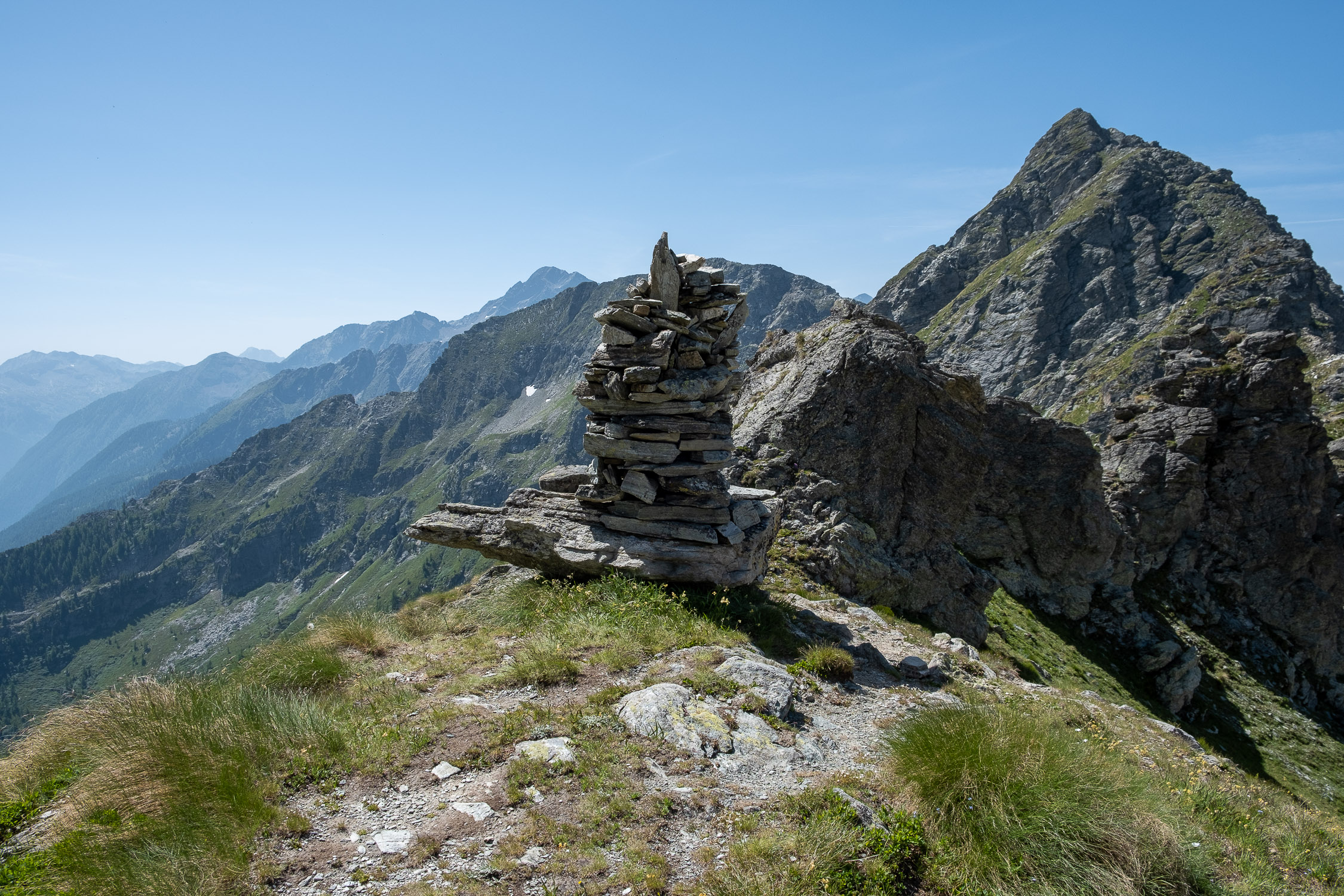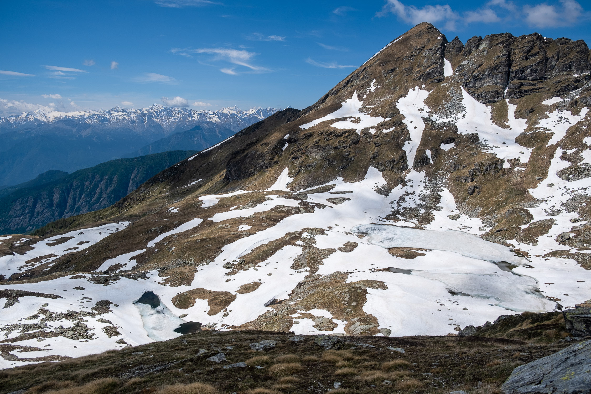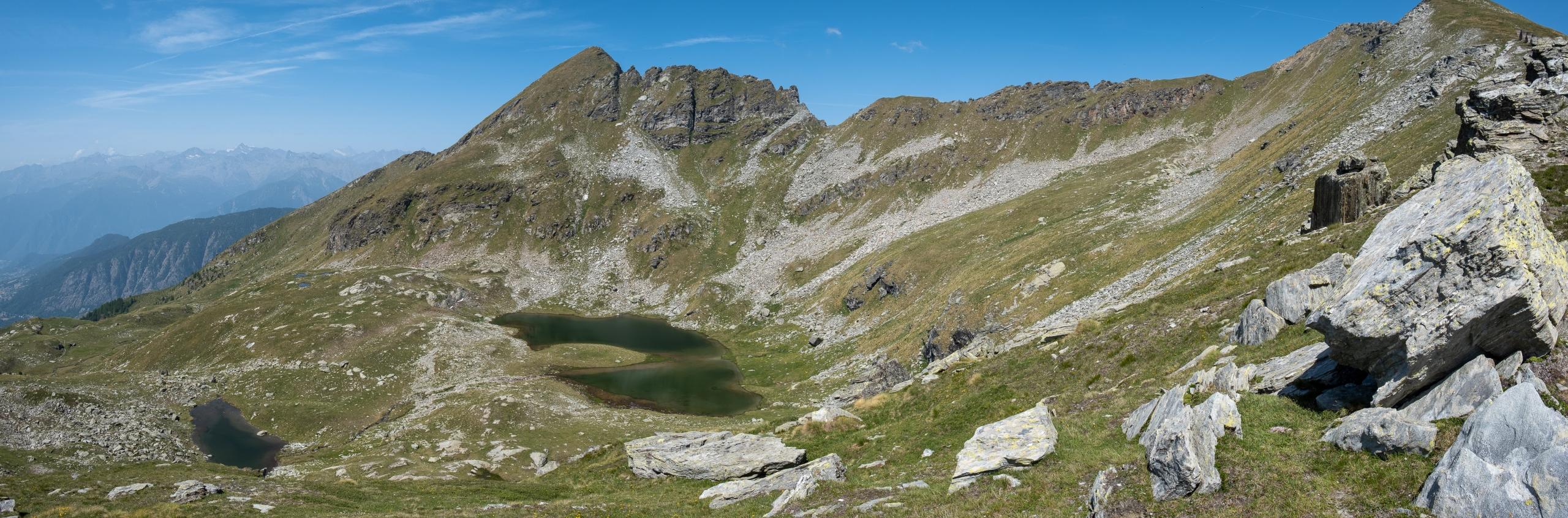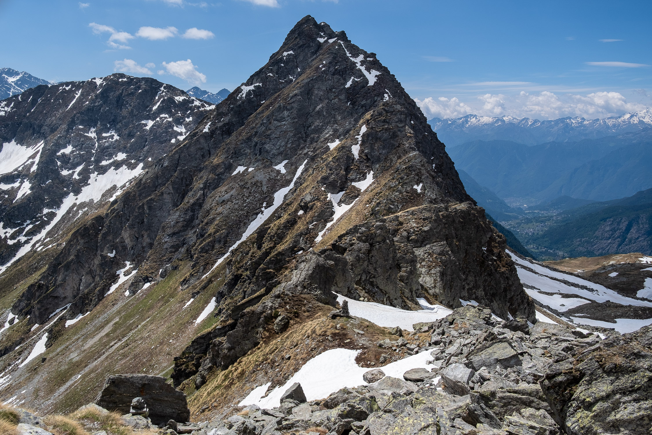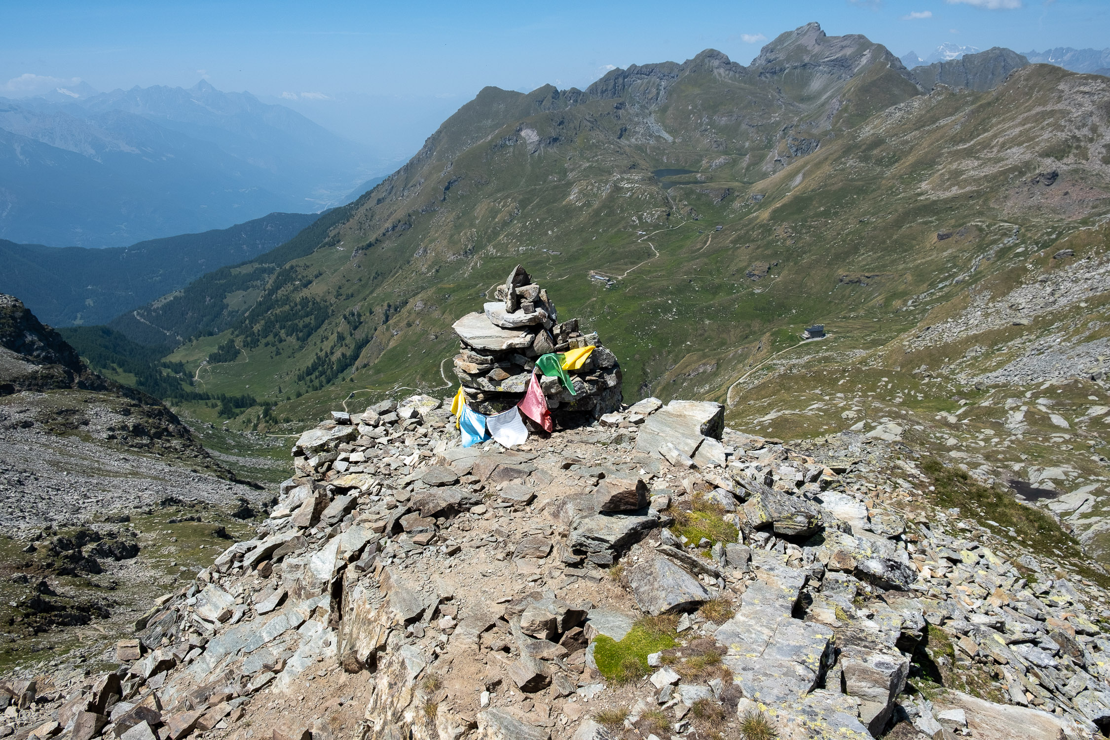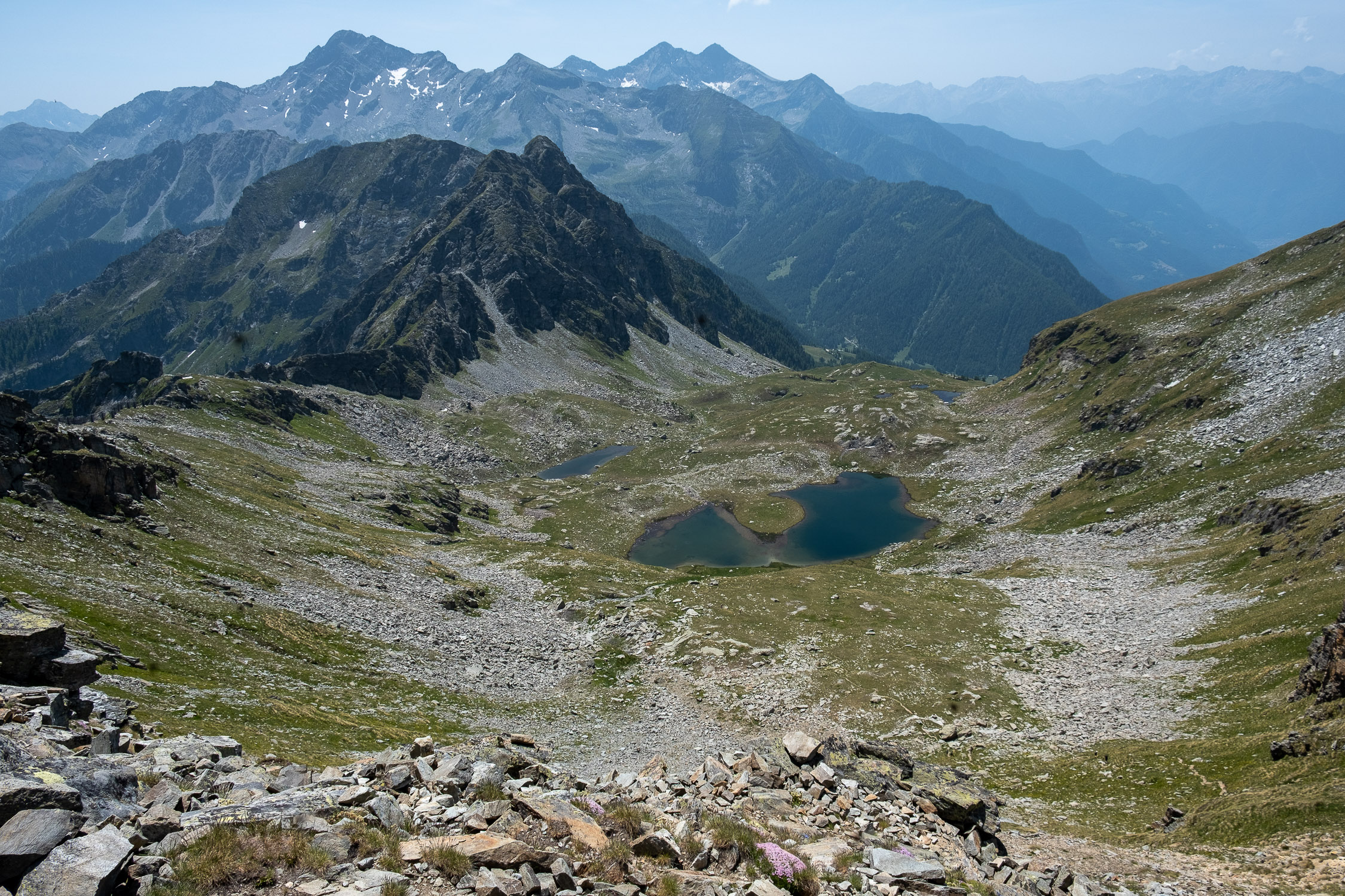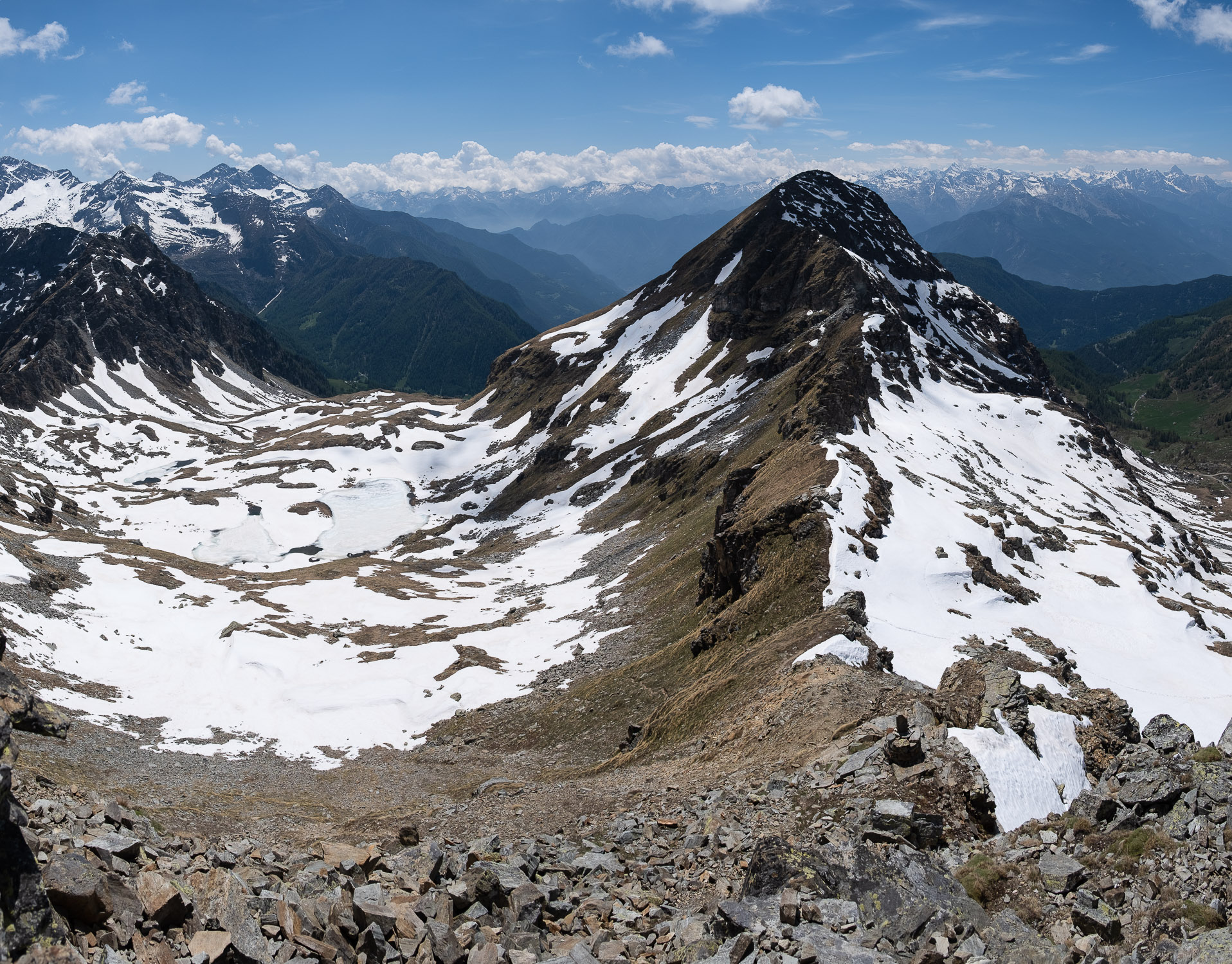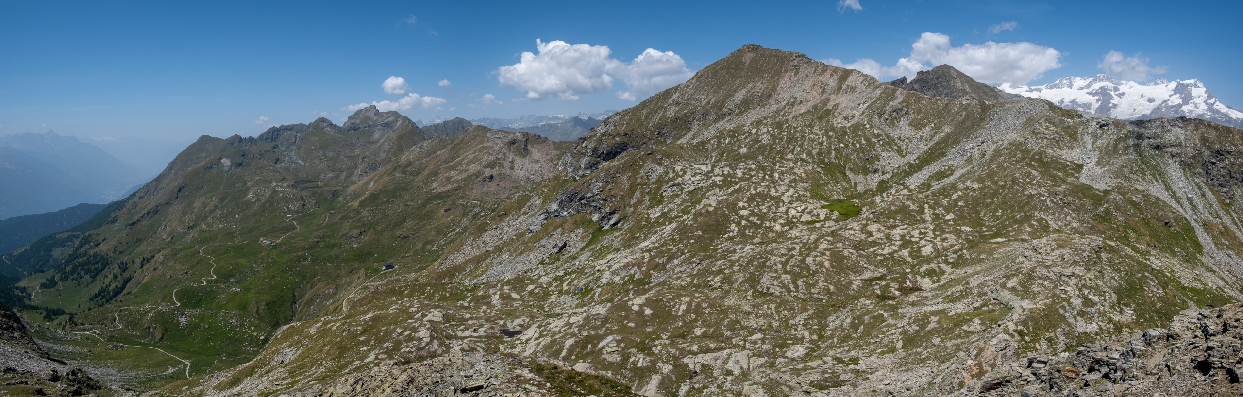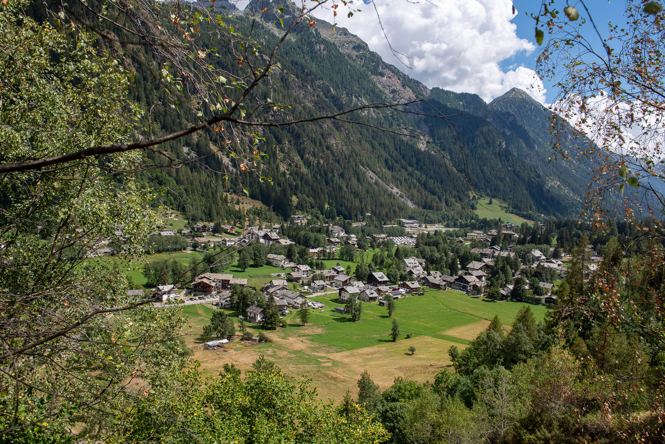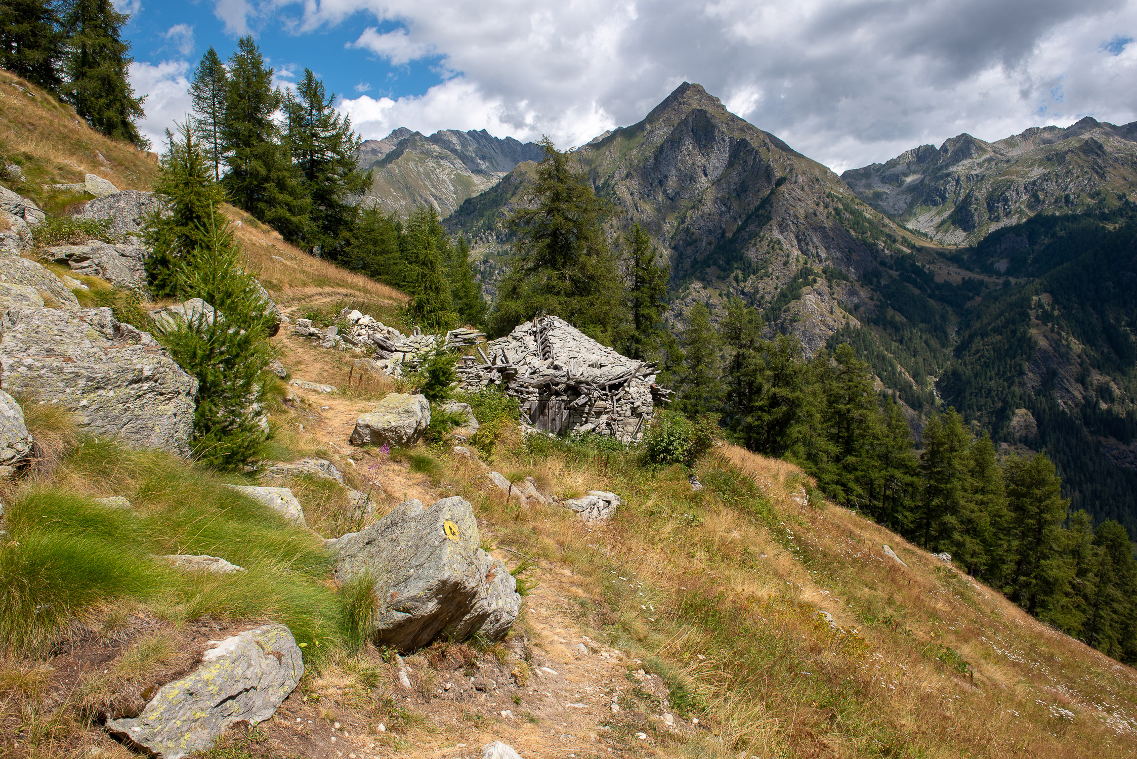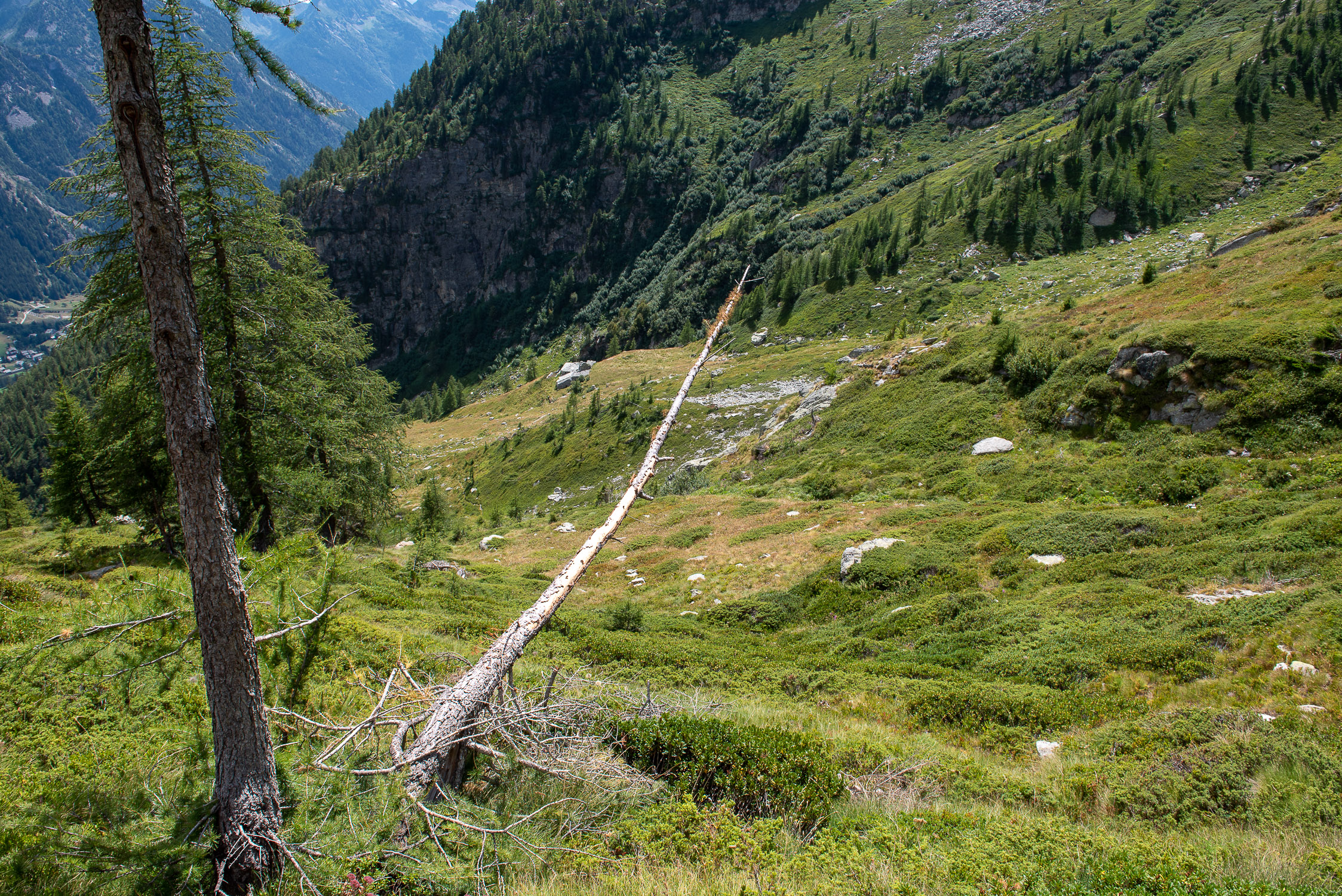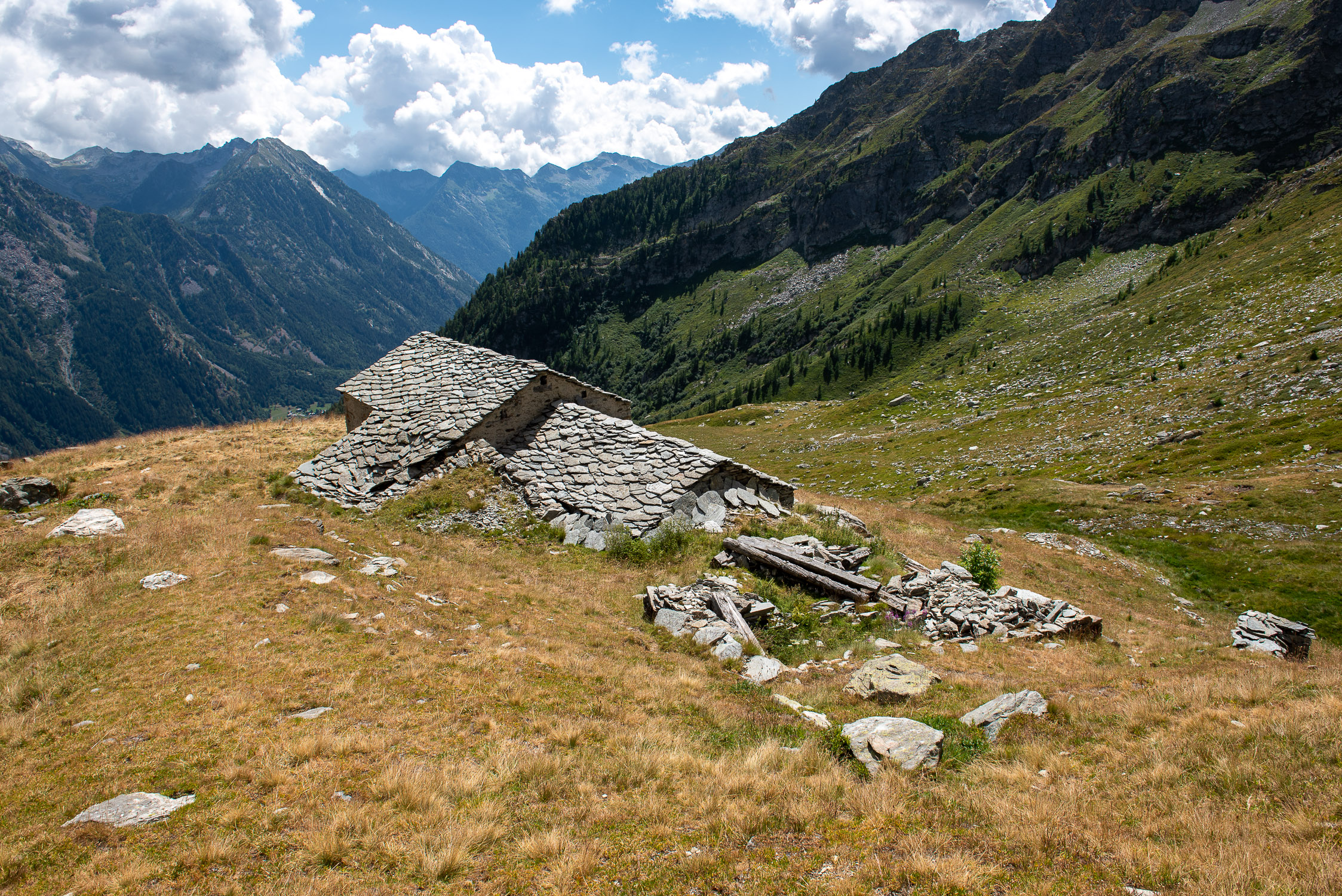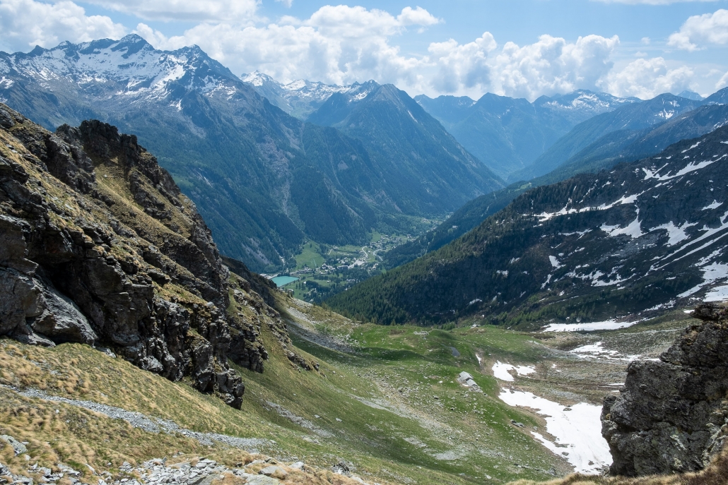
From the Bocchetta Pass, looking toward the Gruebe Alp.
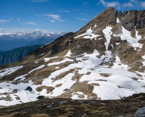
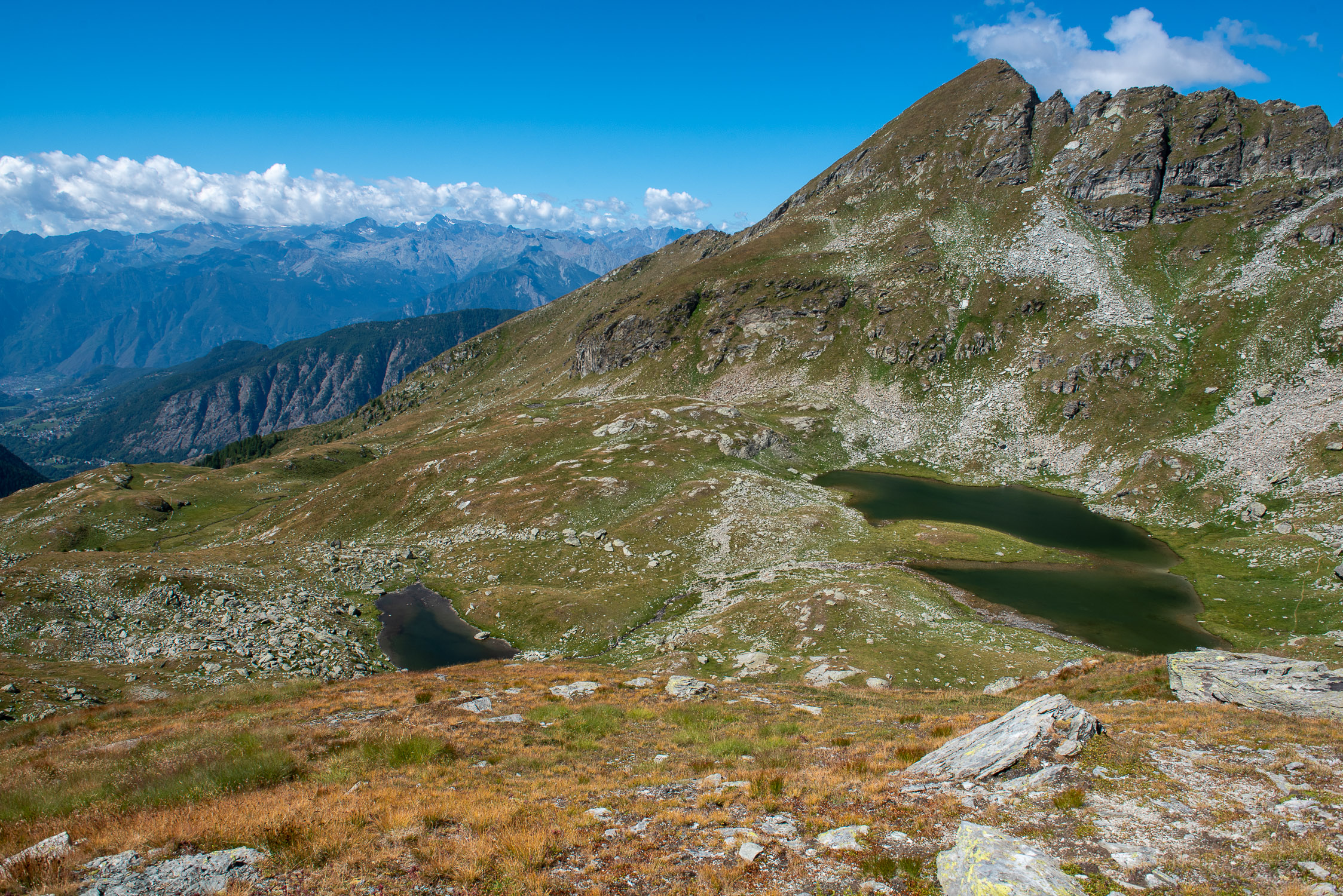
The lakes of Estoul, on the slopes of Ayas (June 2021)
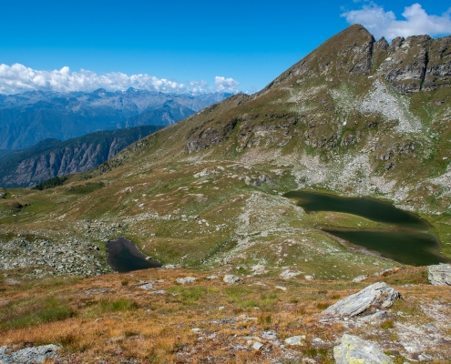
Mount Bieteron and the lakes of Estoul (June 2022)
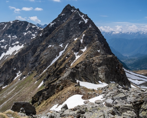
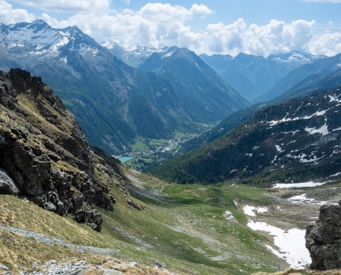
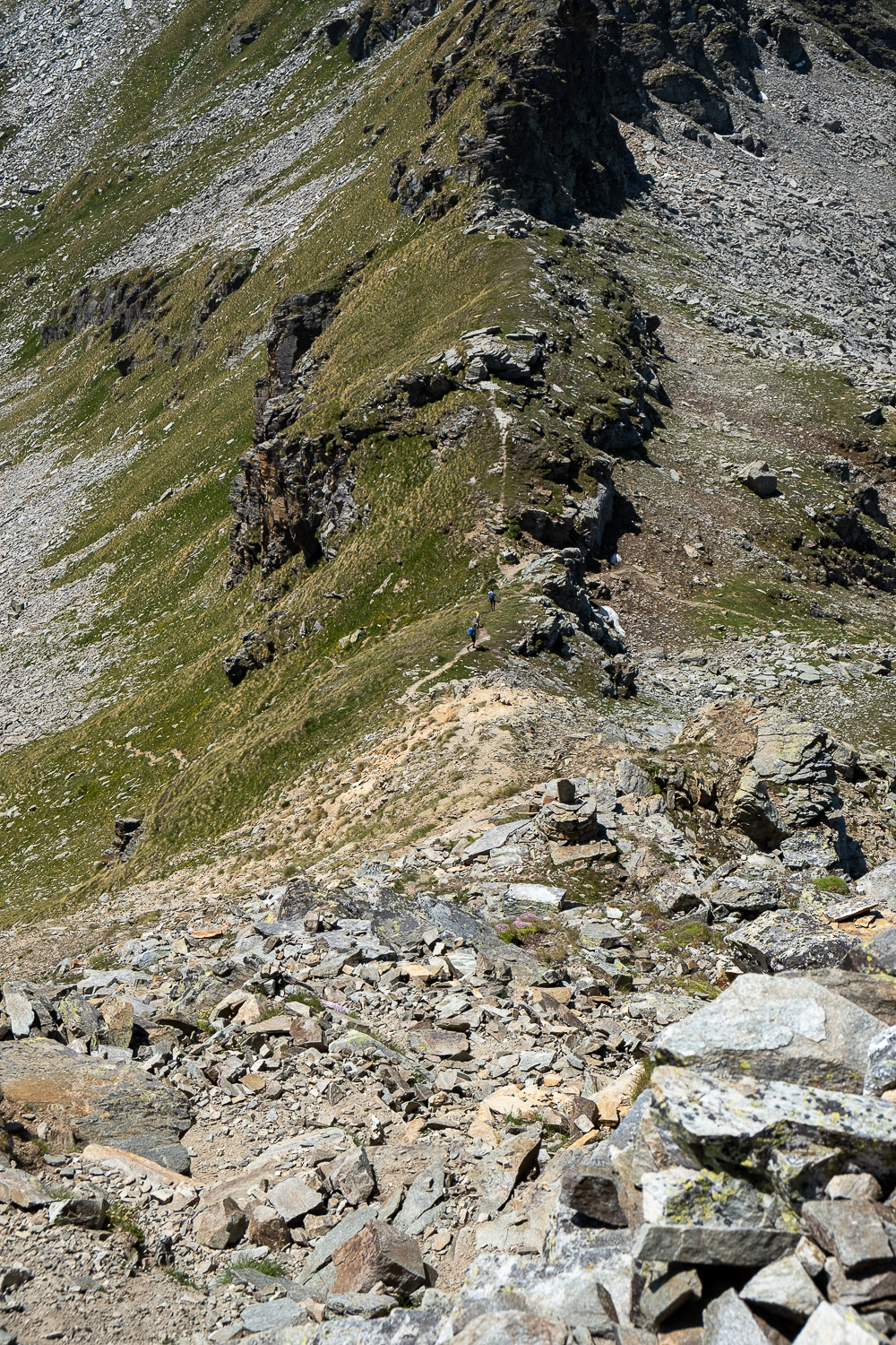
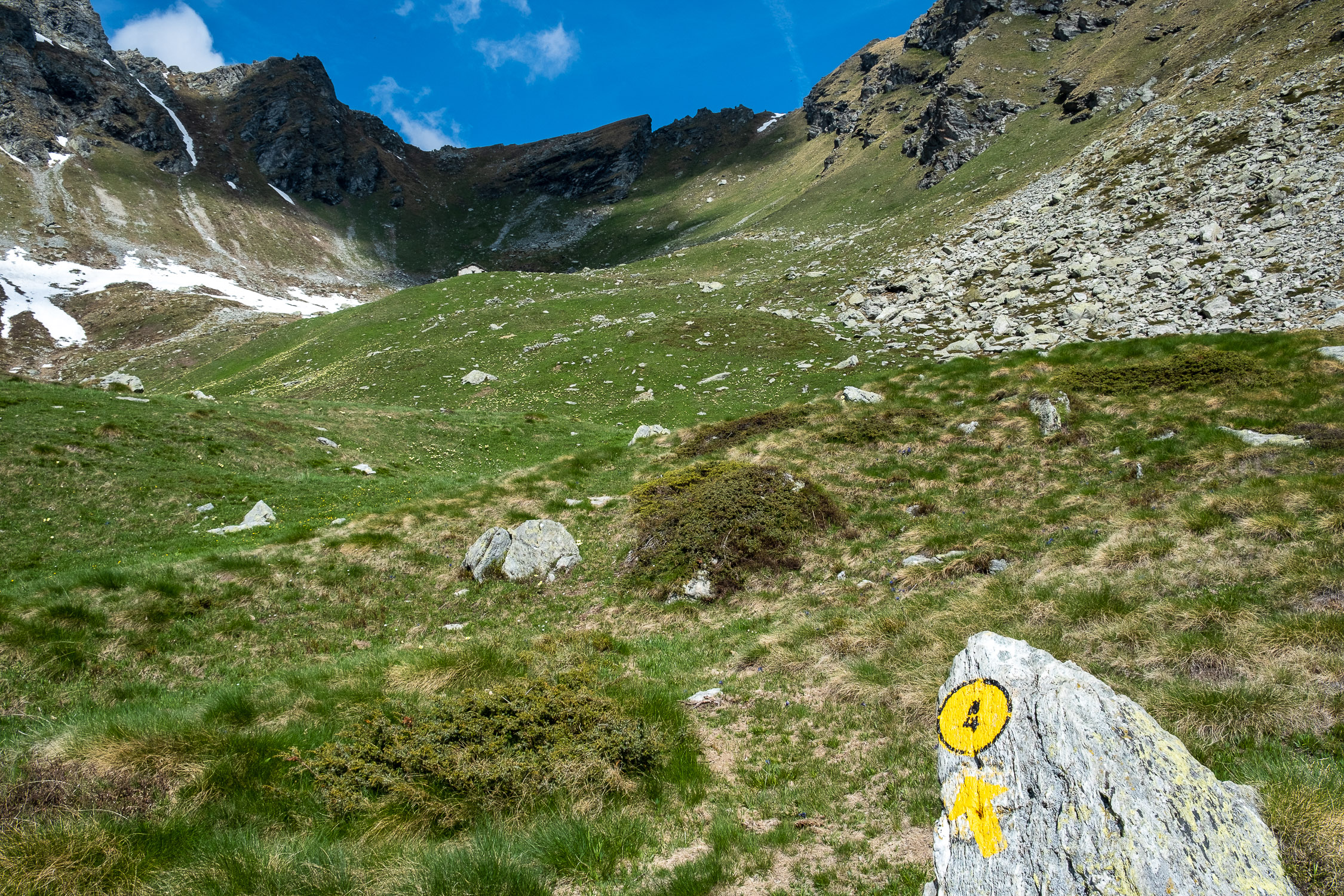
The Bocchetta Pass, from the top of the scree above
Continuation towards Punta Valnera
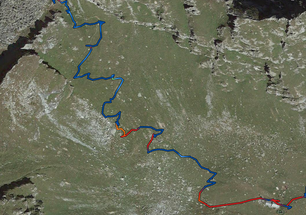
From the Bocchetta Pass it takes about an hour to reach Punta Valnera (2754m), following two different routes of varying difficulty.
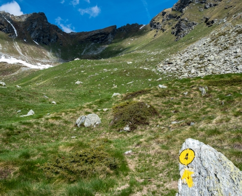
- The first (in red in the map below) follows the continuation of Trail 4 along the ridge leading to the point: definitely not recommended for those with vertigo, as there are 3 easy climbing passages, but one of them is quite exposed (in red in the map below).
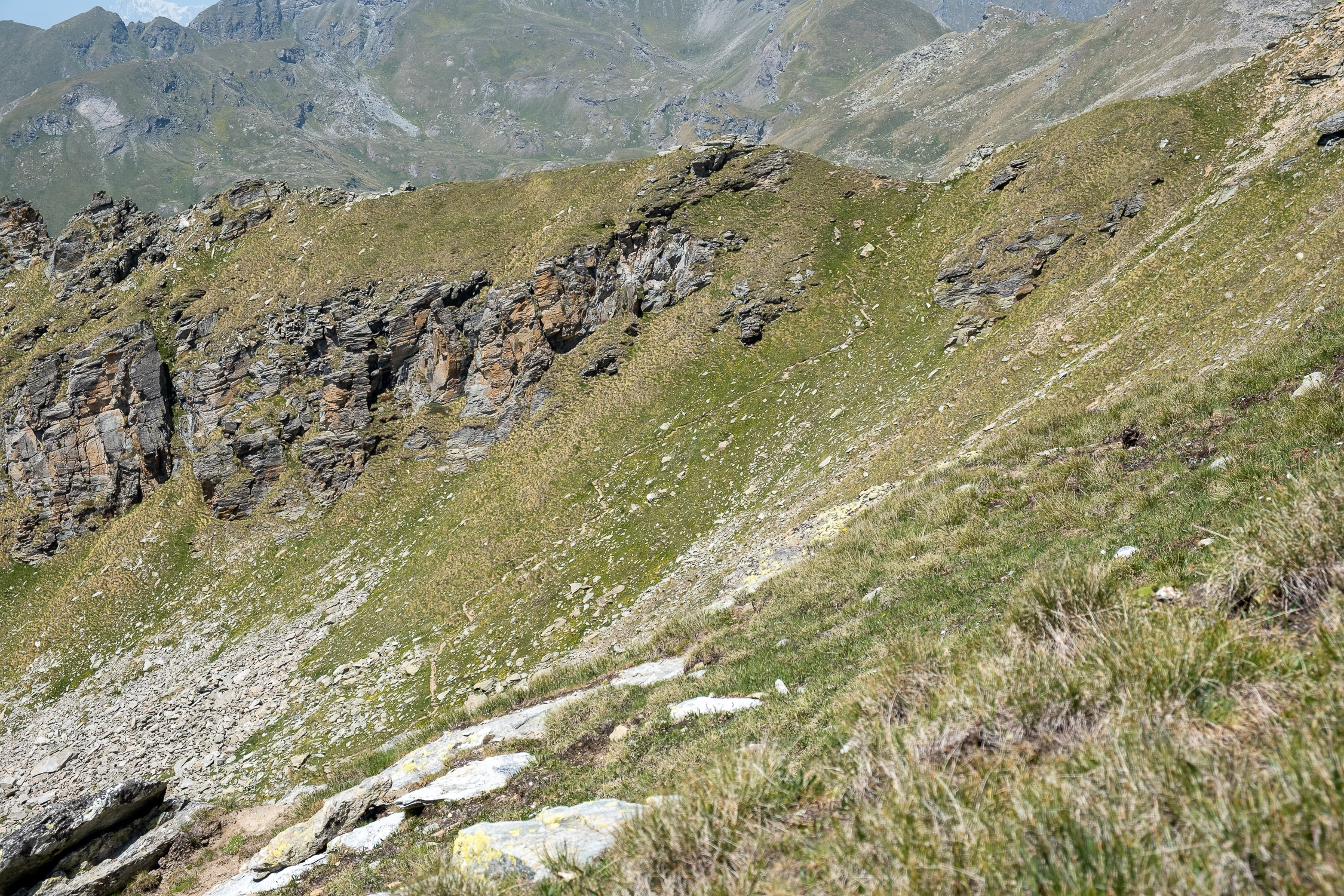
- The second (in yellow in the map below), without any technical difficulty, leaves the ridge after a few meters, descending on the side of the slope on the Val D’Ayas side, and continues practically straight until it crosses the Val d’Ayas Trail 6A, which climbs from the Estoul Lakes. Trail 6A points directly to Colletto di Valnera (2681m), from which, in a very short time, you will reach Punta Valnera (2754m).
The map also shows (again in yellow) the possible alternative return route that, from the Colletto di Valnera, descends to the Colle di Valnera from which it is then possible to return to the valley via
TRAIL 5
.
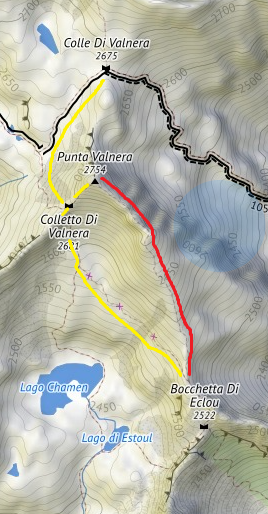
The connections to Punta Valnera
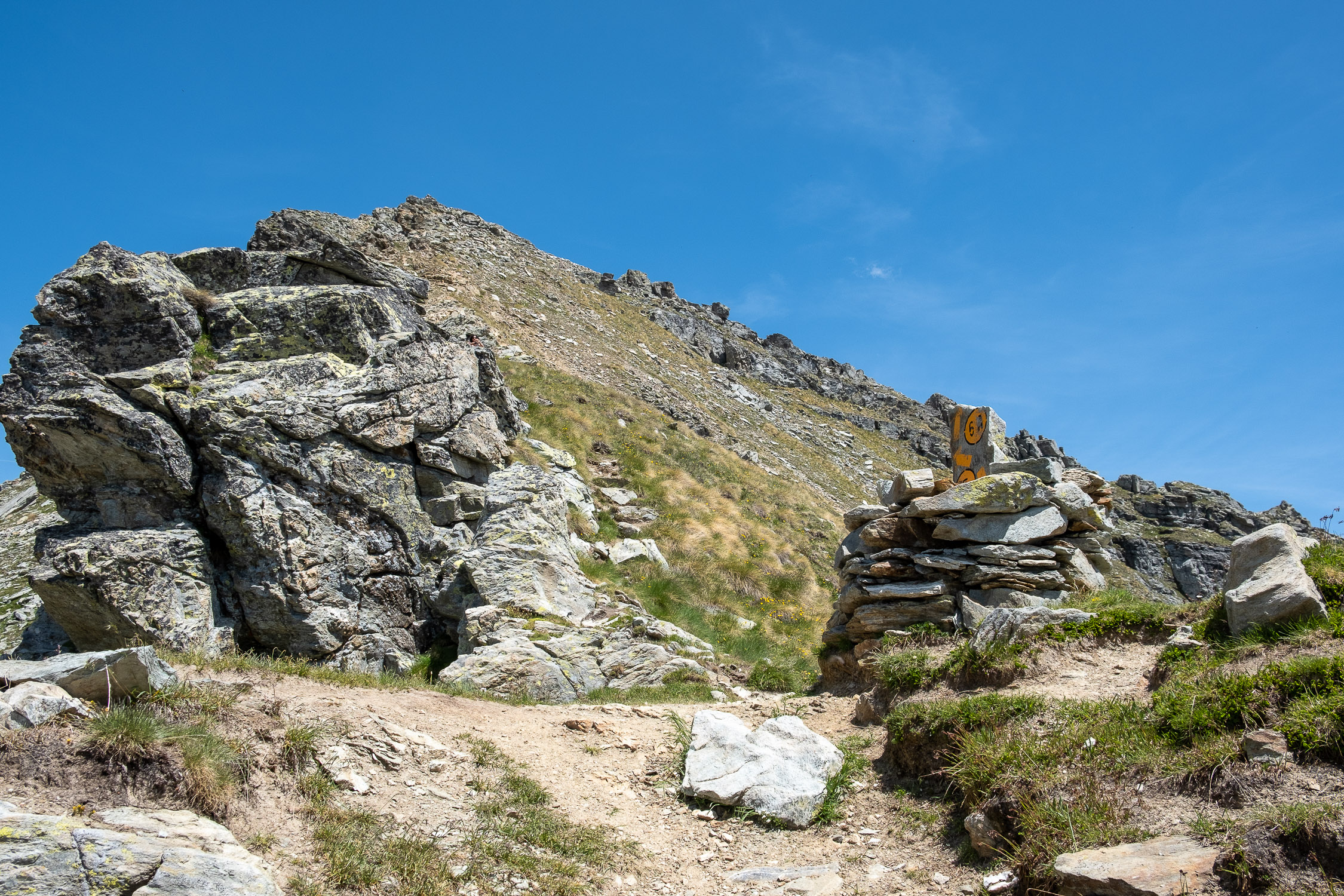
The first section is shared: continuing northward from the Eclou Bocchetta, climb up the short scree slope following the obvious tracks until you pass the rocky outcrop that allows you to look out again along the east side of the mountain.
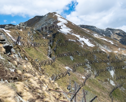
Past the scree, the ridge towards Punta Valnera
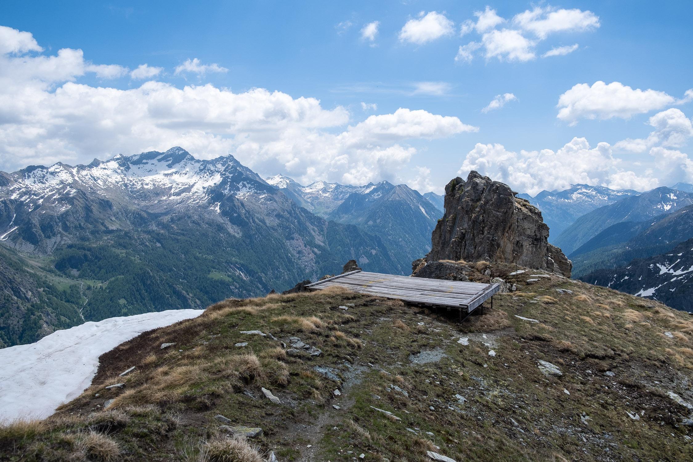
You pass a helicopter landing pad, and it is shortly after that the two paths fork.
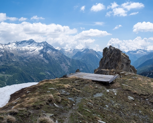
The helicopter platform
1) Punta Valnera via Colletto Valnera
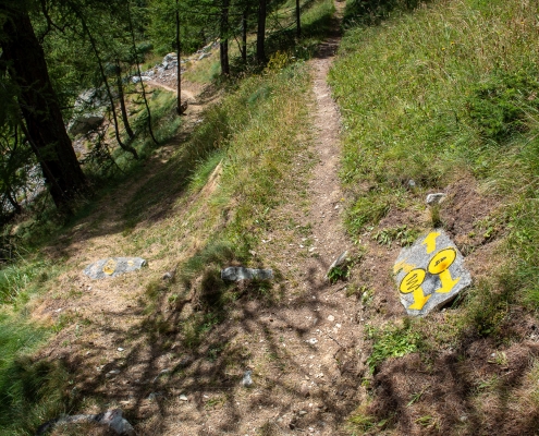
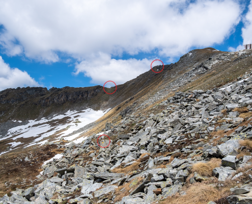
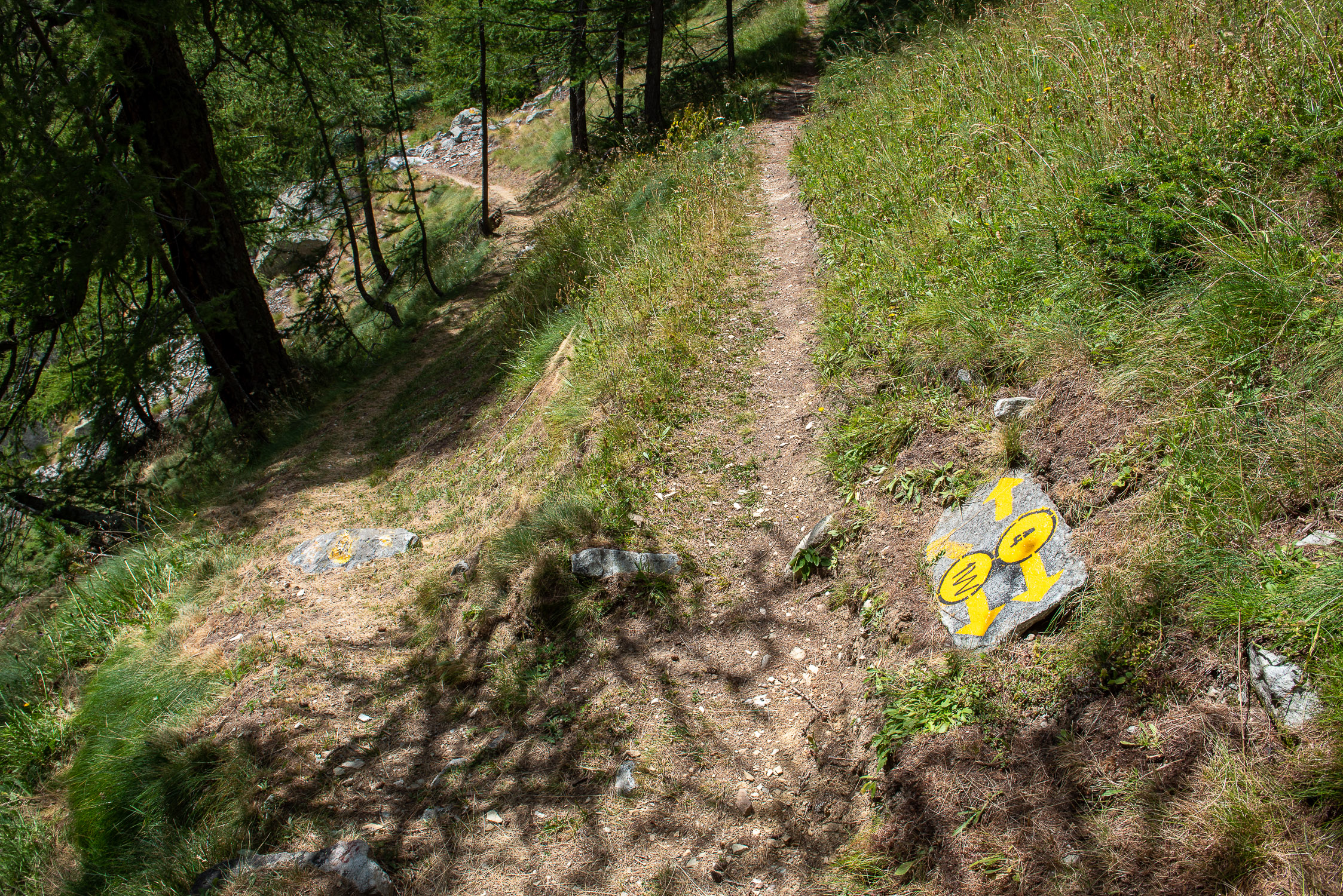
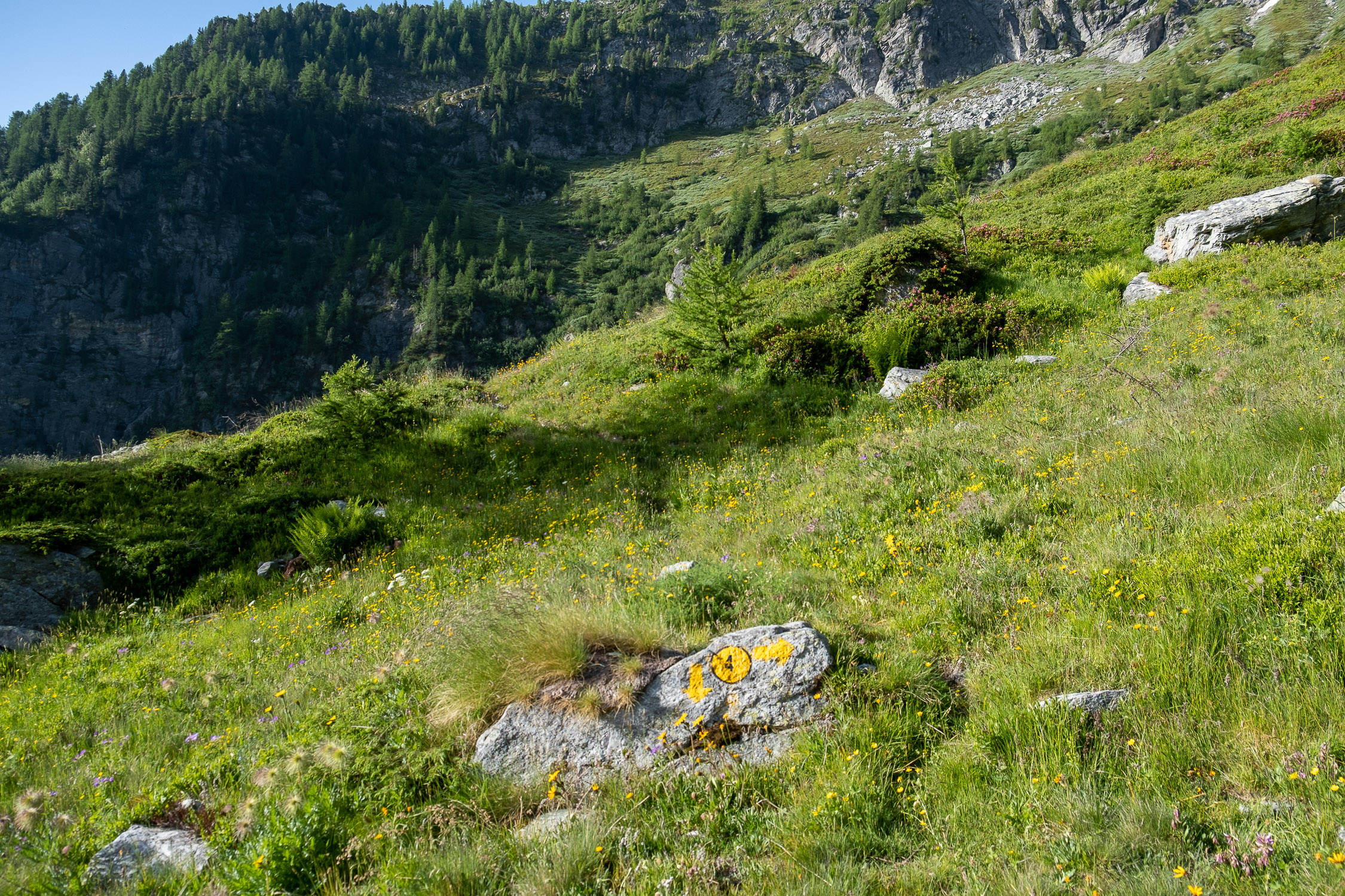
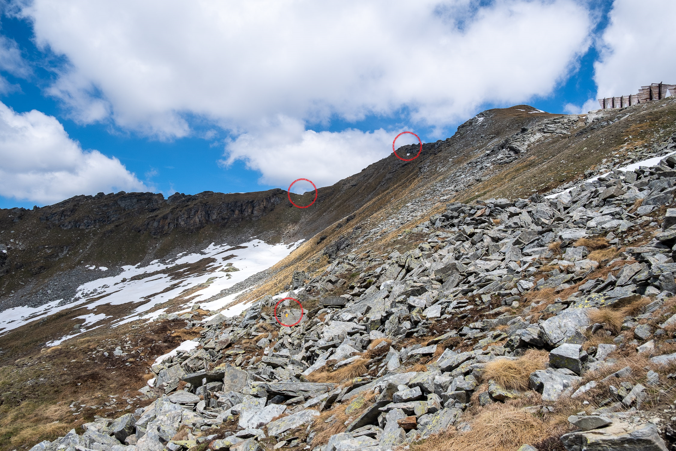
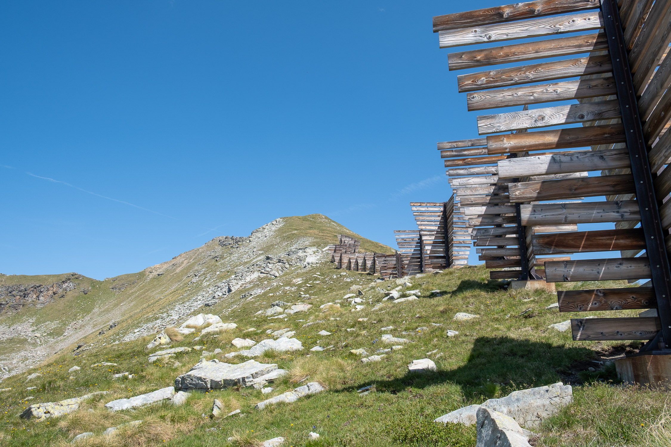
After less than fifty meters from the helicopter pad you will see on the left an obvious trail, with yellow bolts, that leaves the ridge and points toward the distant notch. To the right, however, Trail 4 continues along the string of wooden avalanche guards.
In the photo below you can clearly see one of the bolts to follow, just off the route along the right ridge; the distant Colletto Valnera and Punta Valnera, on the right.
Circled in red are one of the bolts to follow, the Colletto on the left and Punta Valnera on the right
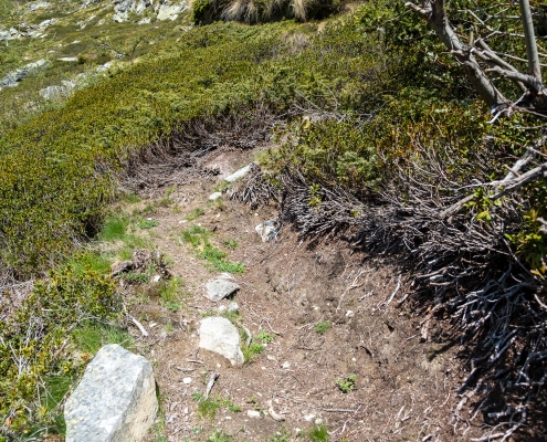
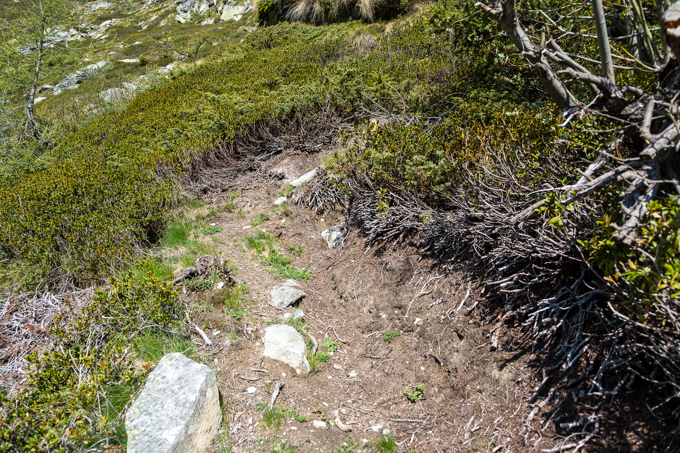
The trail traces in this first section are very shaky, there are sparse markers and a few cairns here and there: when in doubt continue to proceed keeping horizontal, without losing too much altitude. One must continue in this way until crossing the very obvious tracks of the Ayas Valley Trail 6A, which climbs vertically from the Estoul Lakes.
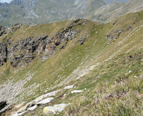
Trail 6A climbs up to the Colletto Valnera
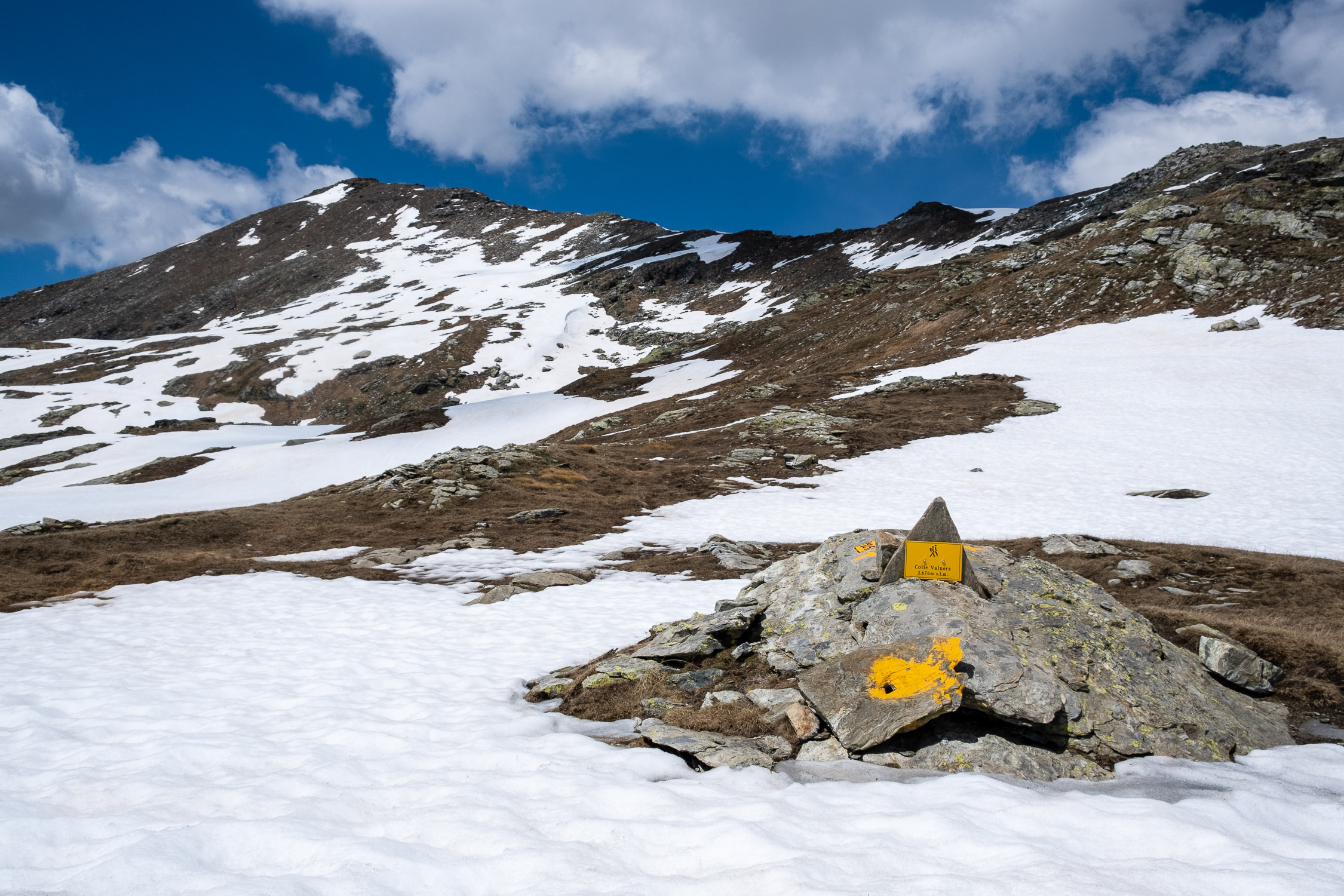
In less than a hundred meters of elevation gain, you will reach the Bocchetta (2681m)…
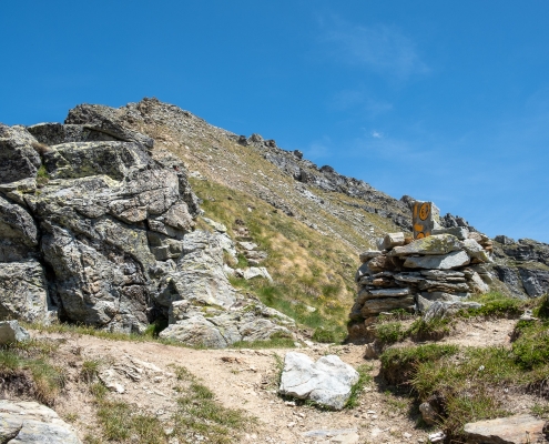
The Colletto Valnera, and Punta Valnera behind it
… and with a final scramble over friable terrain you reach Punta Valnera (2754m).
2) Punta Valnera along the ridge (trail 4)
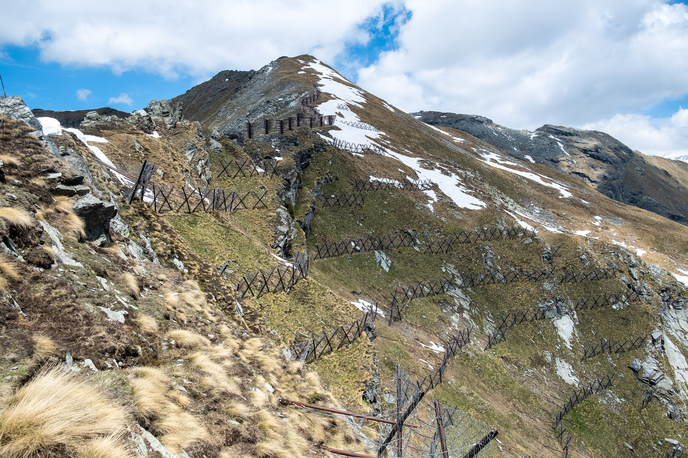
From the helicopter platform, continue straight past the avalanche guards until they end.
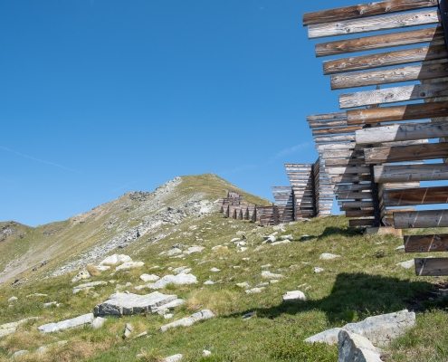
The path climbs next to avalanche guards
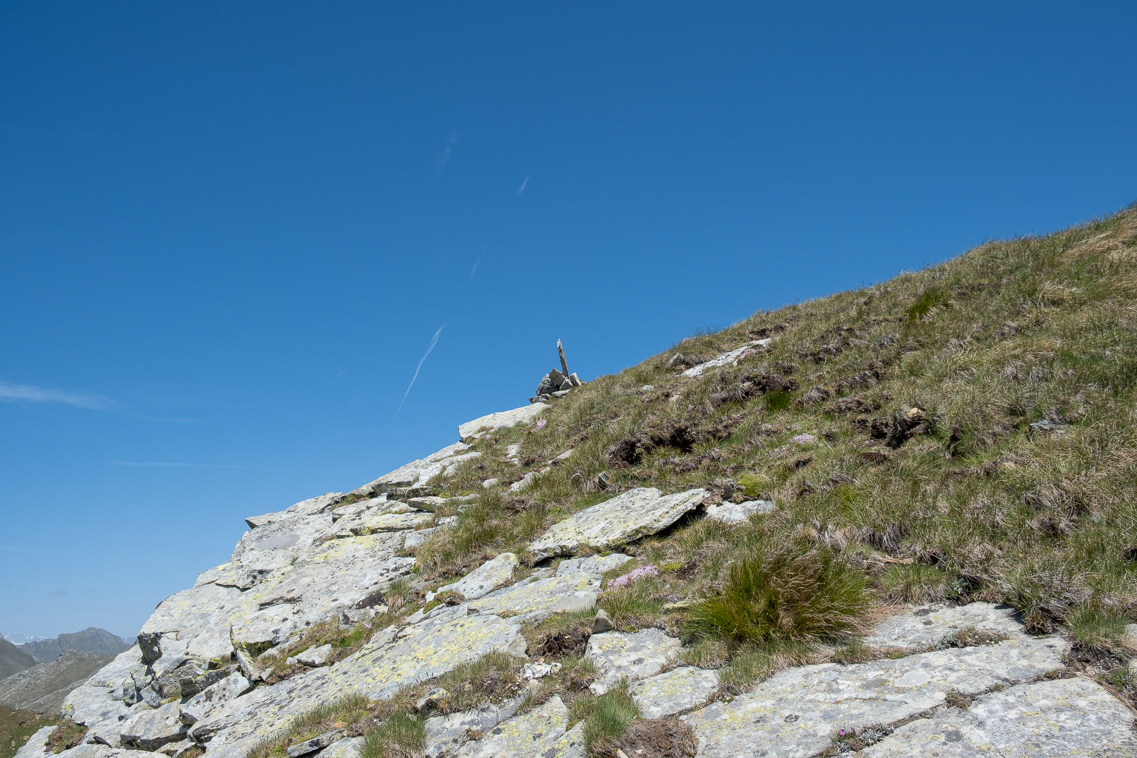
Continue to climb along the bump on which you are climbing, following vague tracks but mostly pointing to the cairns that here and there indicate the way.
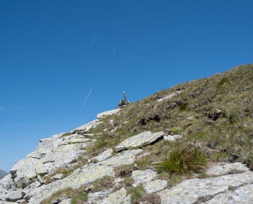
One of the cairns to follow
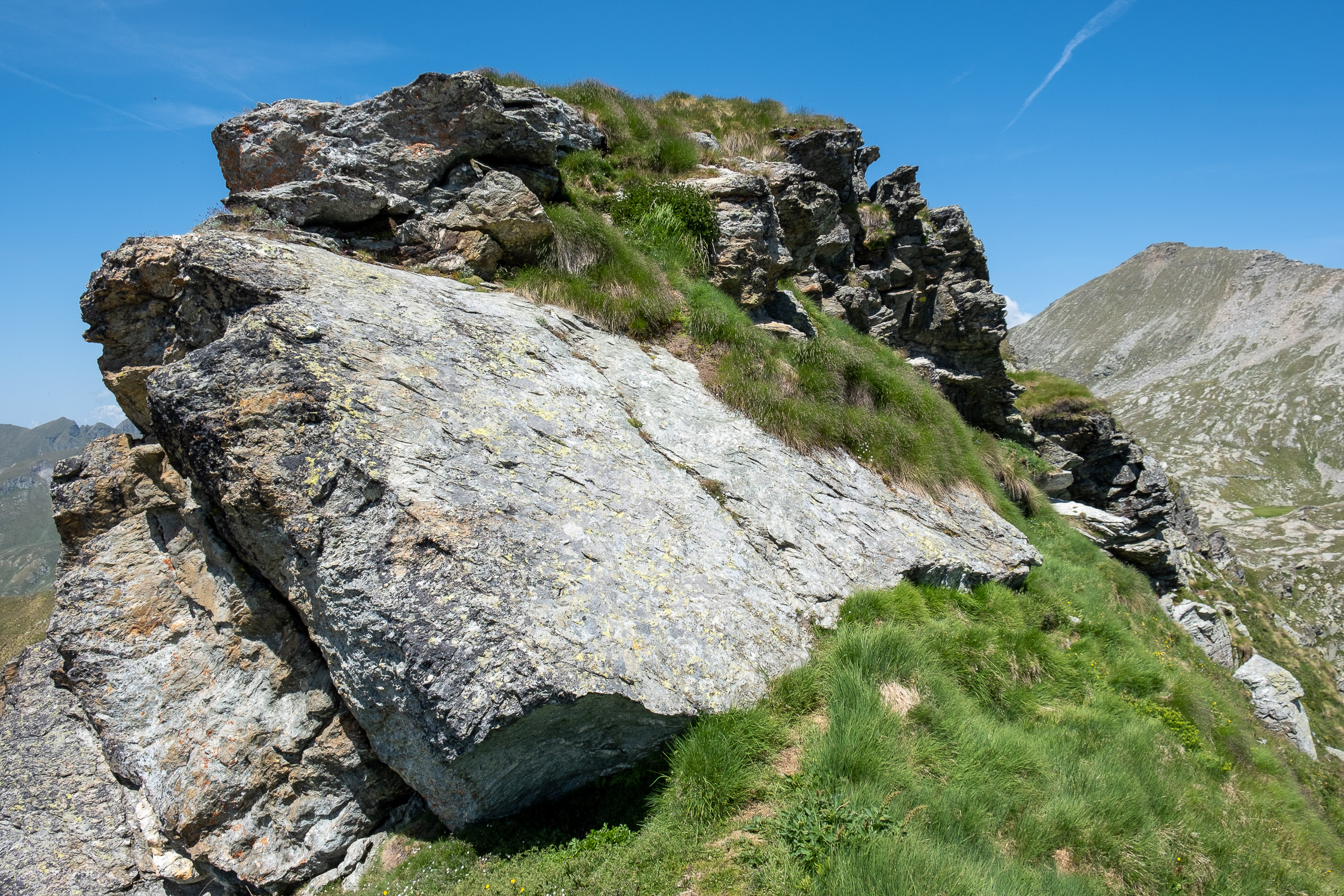
When you reach the end of the hump, you have to go around the rocky antecedent that precedes a small notch, beyond which the rocky ridge to the summit starts. There is only one tricky spot here, where if you are fooled by the trail markings you would attempt to climb in adherence by cutting through a wide but steep flat rock: you actually manage to go around it on the left, with a few exposed but certainly less risky steps.
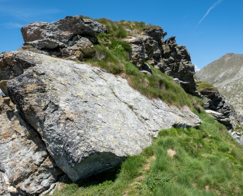
You don’t have to go up directly, you go around to the right
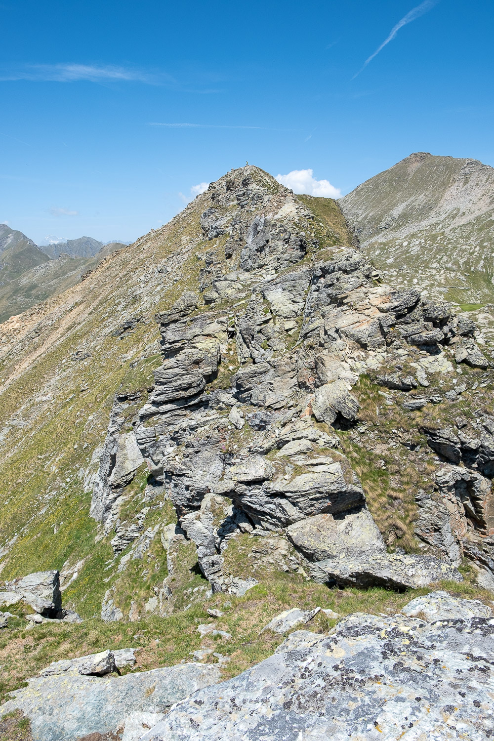
Past the anticima, you can see the entire ridge to Punta Valnera. The route is less dangerous than it may appear from this point.
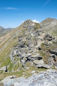
The ridge appears after the summit
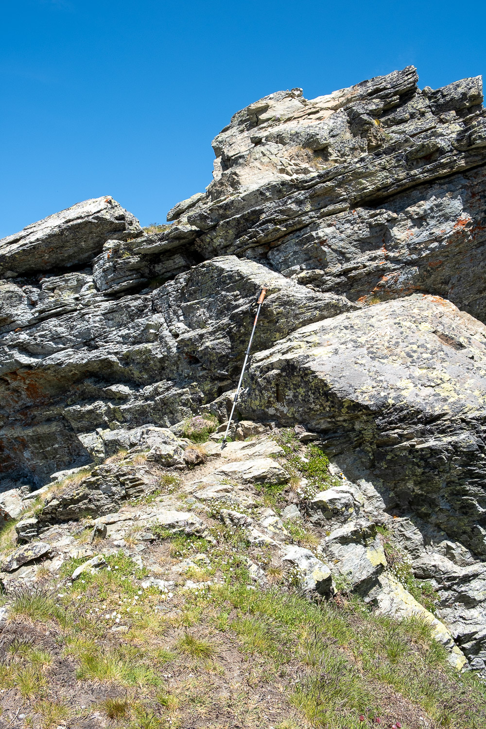
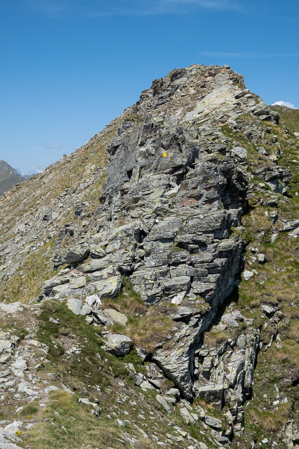
There are three or four points where climbing is needed, but it is always very easy and safe climbing because the rock is never vertical: only one is slightly exposed, but it is overcome with a few elementary movements.
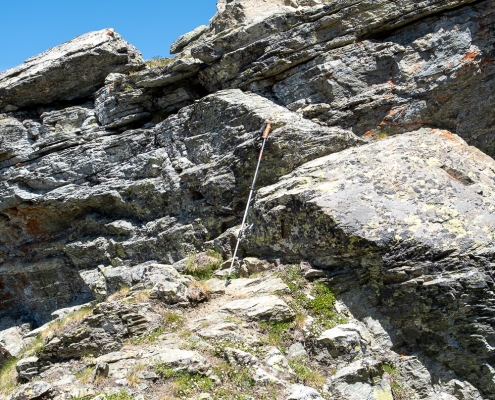
One of the easy climbing sections, the paddle to give the proportions
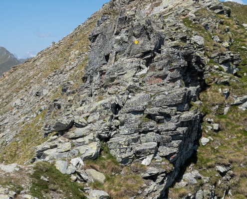
One of the easy climbing sections
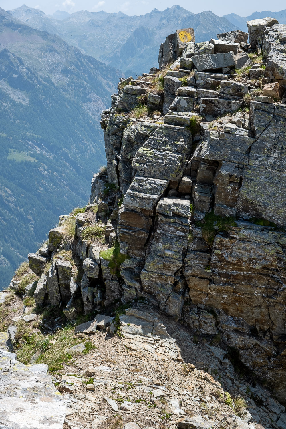
Also among the points to be overcome is a step of about two meters downhill, over which one is able to “descend by climbing” without problems or danger.
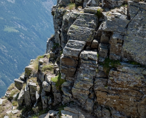
The step you descend by climbing
The last section is directly on the ridge, which is quite aerial but never dizzying: it reaches the summit directly without any additional steps.
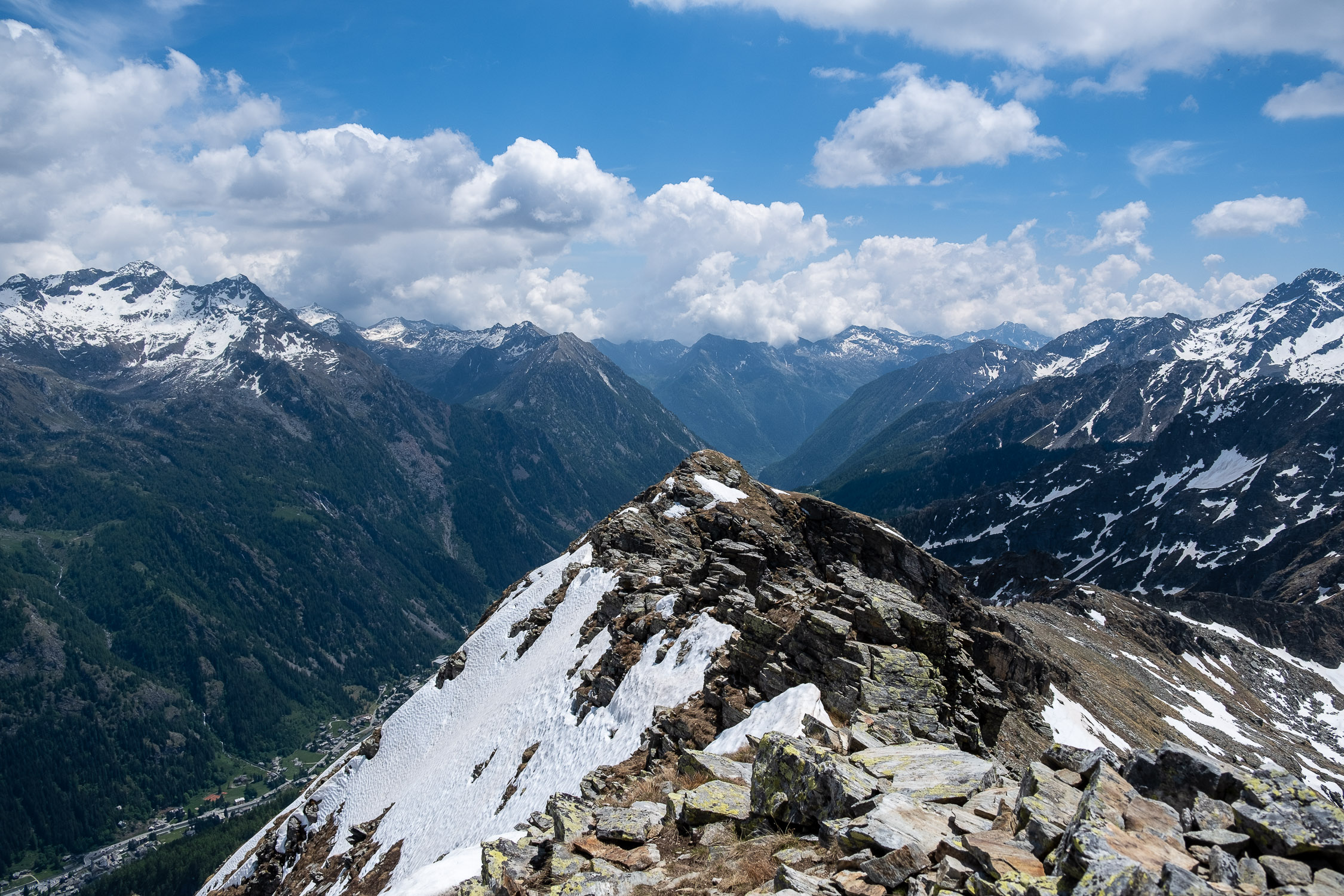
From Punta Valnera, the view sweeps from south to north over the entire range that continues beyond the Eclou Boccheta to Mont Nery, over the Estoul Lakes, over Mount Bieteron beyond the Colletto Valfredda to the west, over the Corno Bussola to the northwest, and over Punta Valfredda to the north.
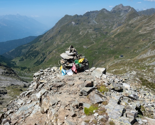
Punta Valnera, 2754m