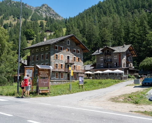
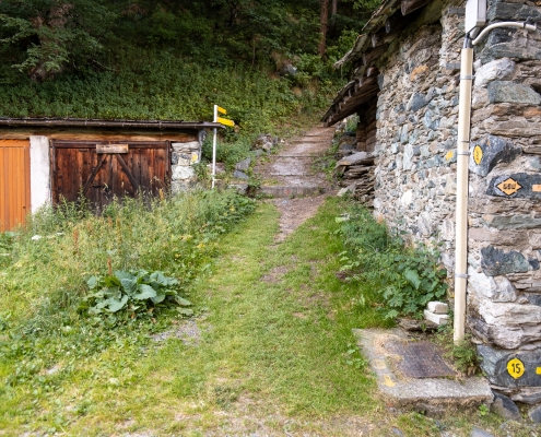
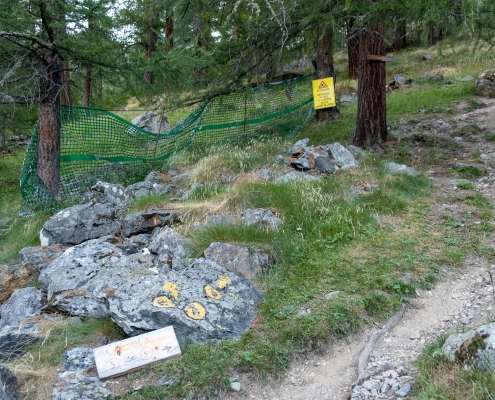
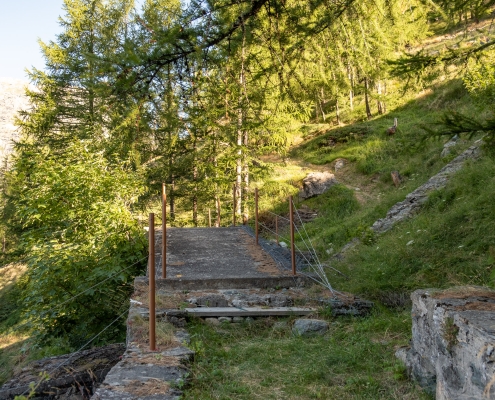
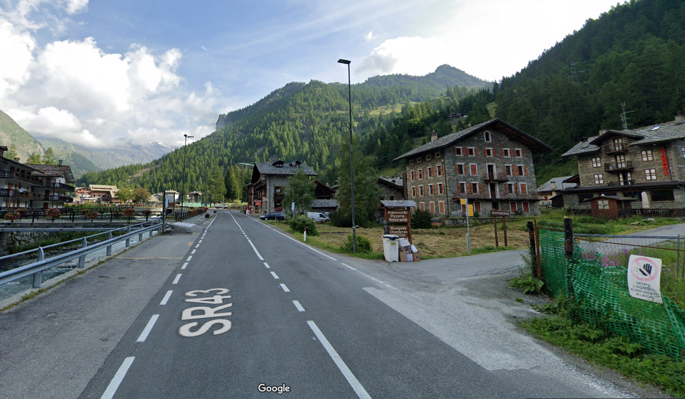
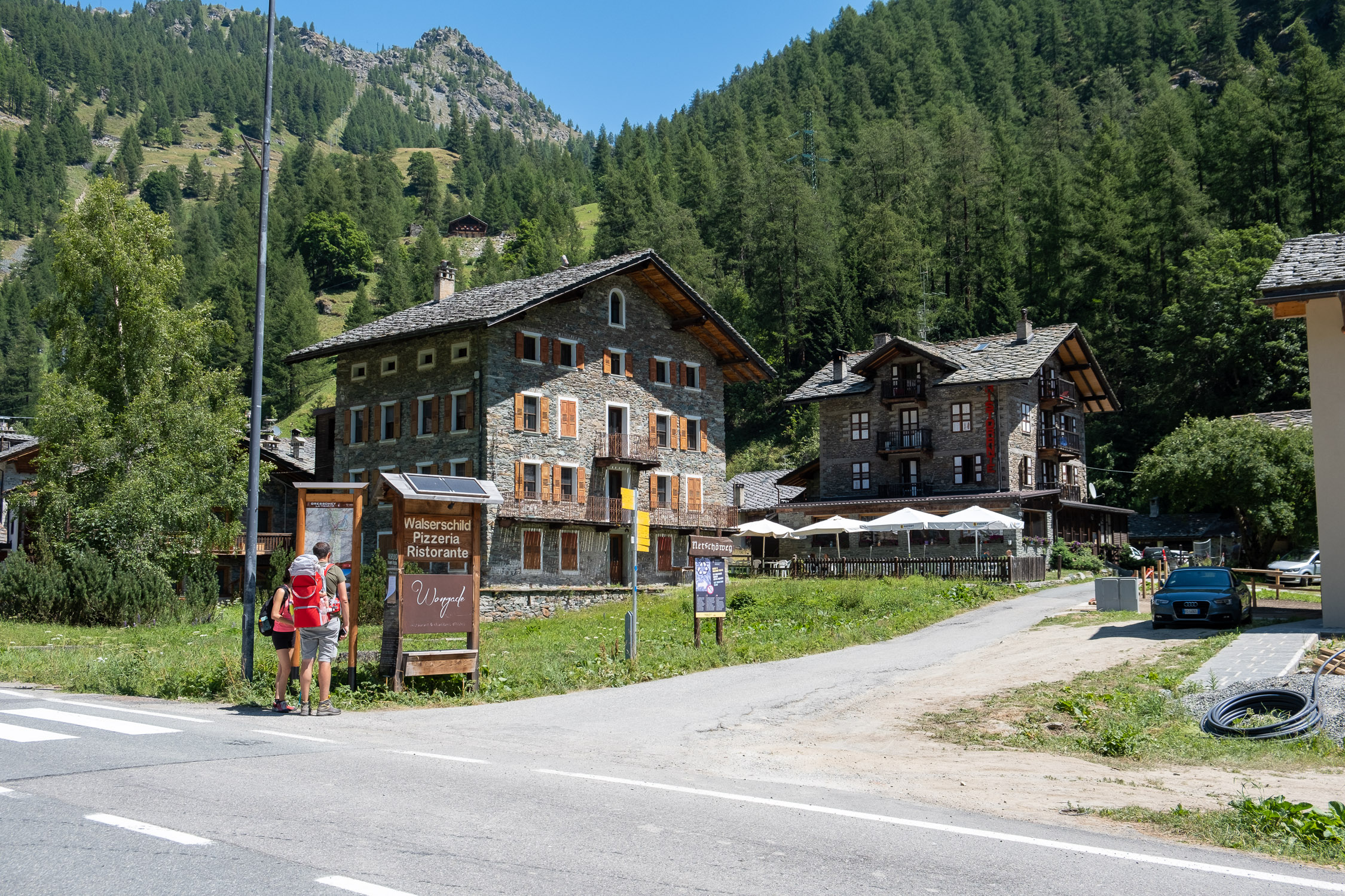
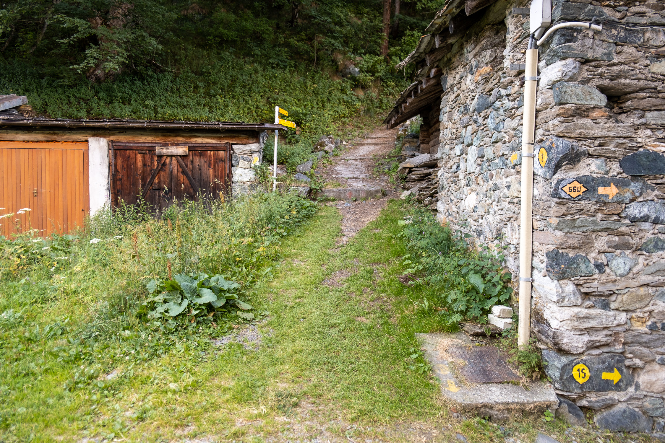
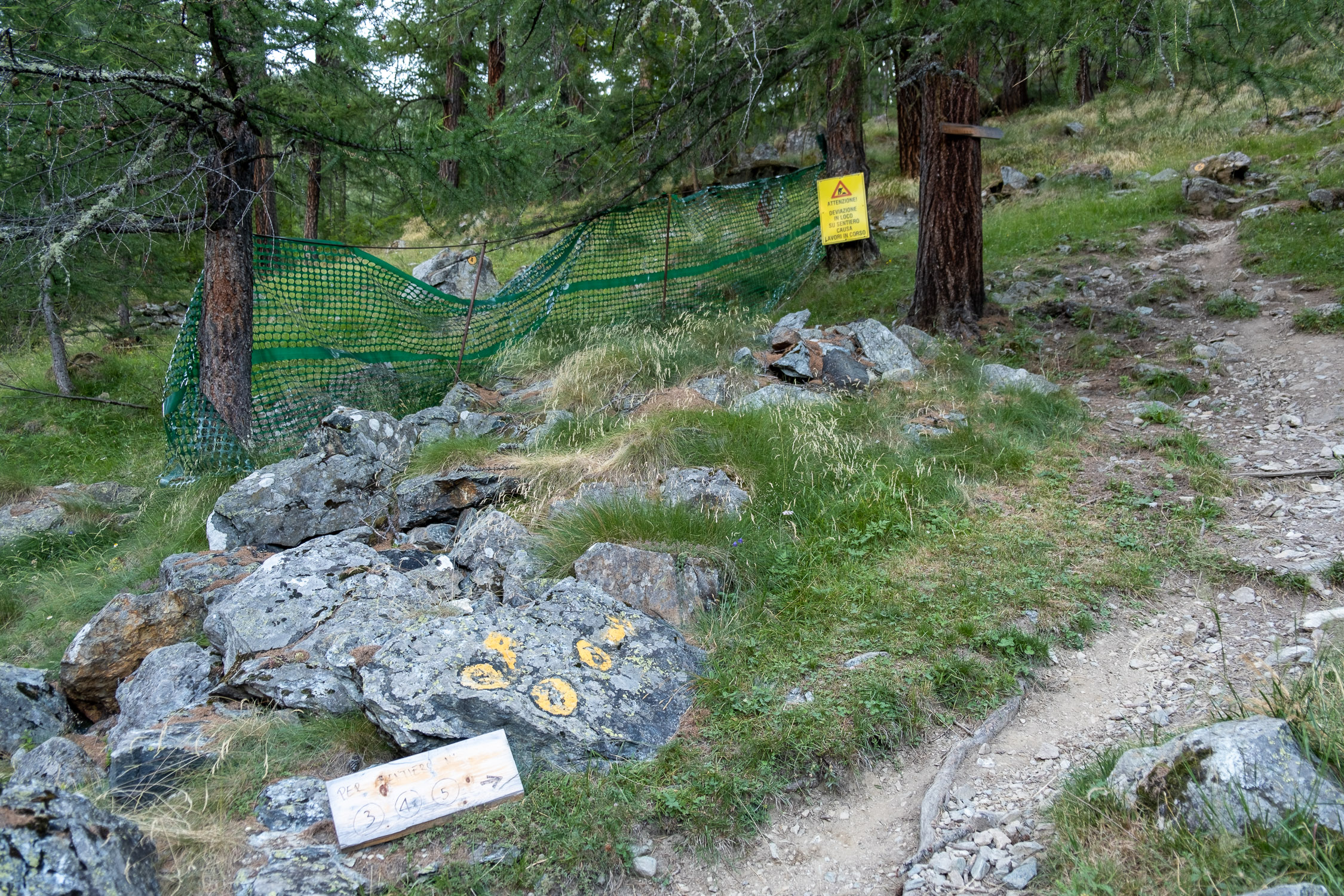
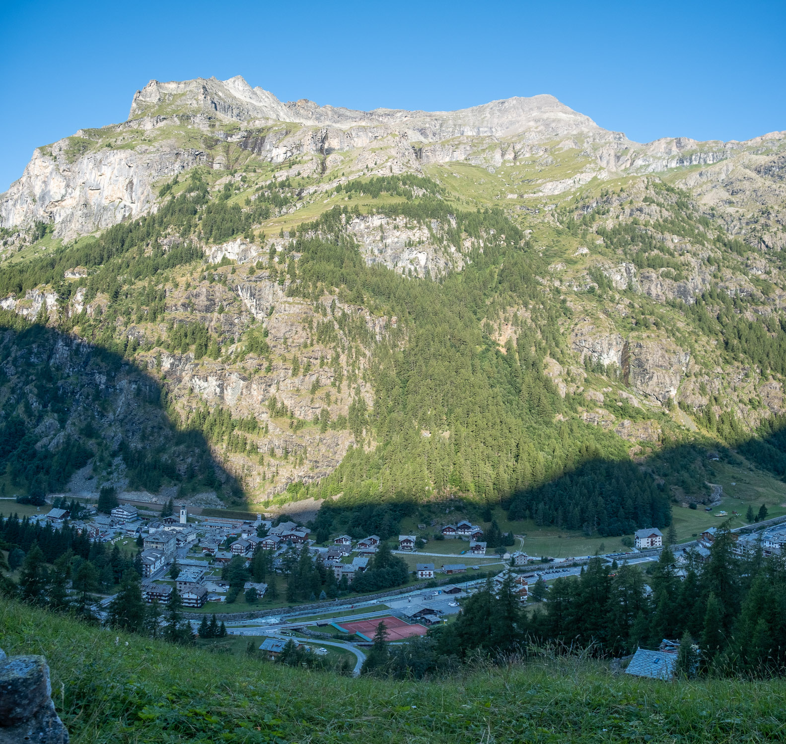
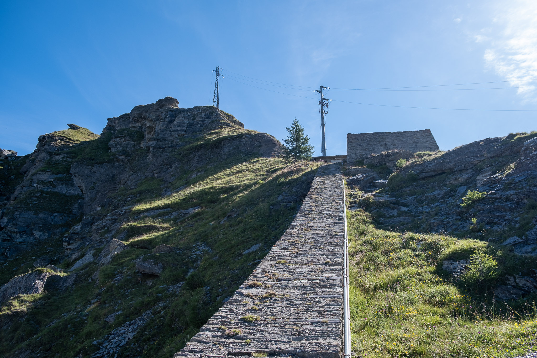
Leaving the state road, we enter the small dirt road: past the Walserschild restaurant is a signpost with directions to trails 3, 4 and 5. The path climbs for a very short distance up long paved steps…
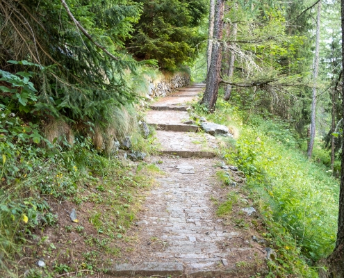
Long steps at the beginning of the trail
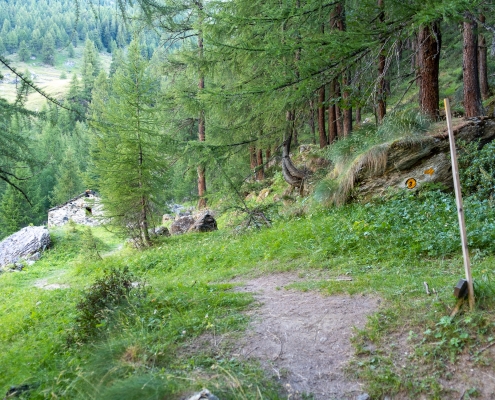
…and immediately after that, turn left and head into the woods. A few minutes after setting out, you’ll come to a tree at the first fork in the trail: to the left, you’ll take
TRAIL 4
and
TRAIL 5
; to the right, you’ll continue on
TRAIL 3
.

Junction of trails 3, 4, and 5
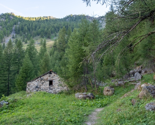
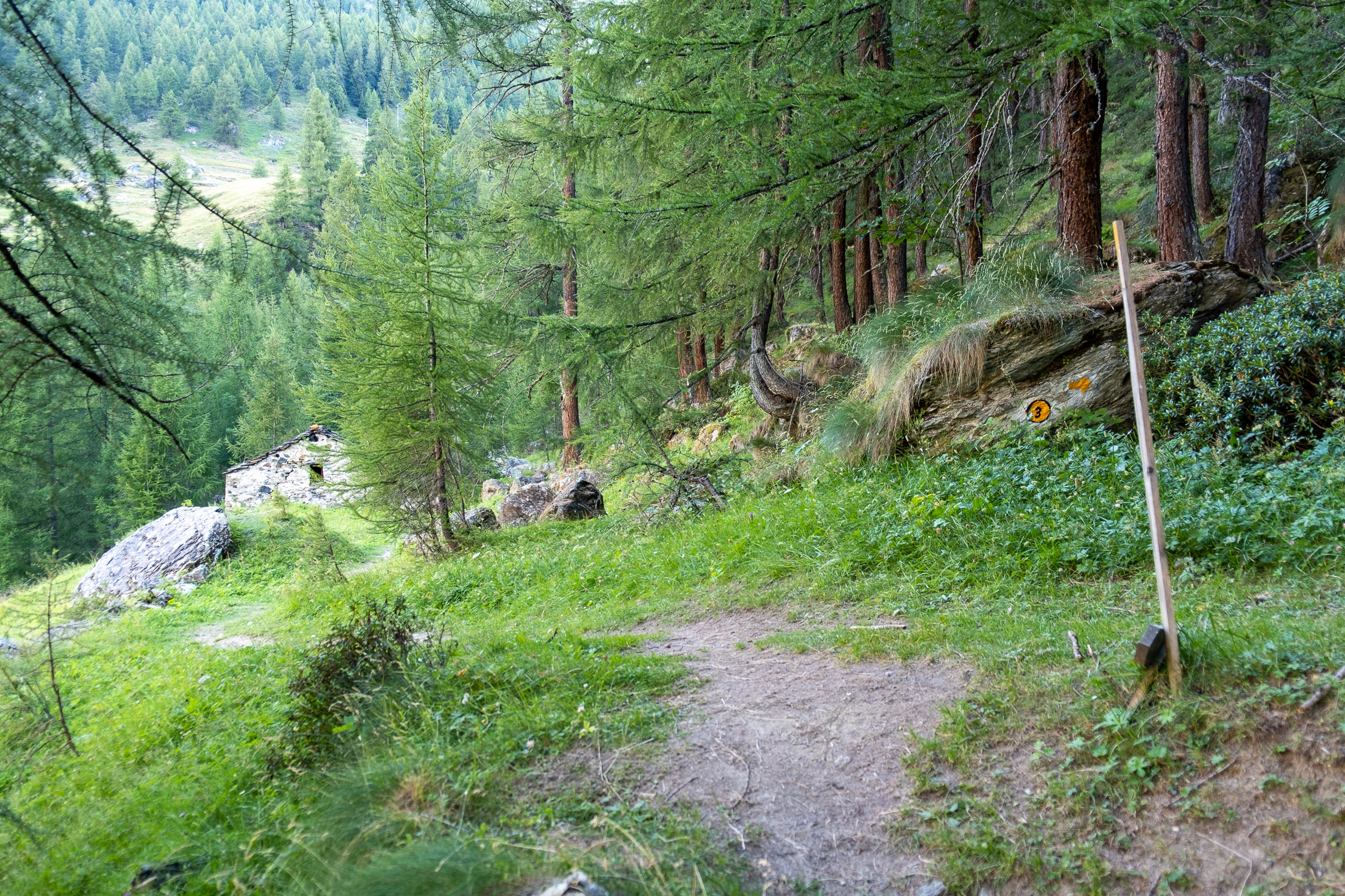
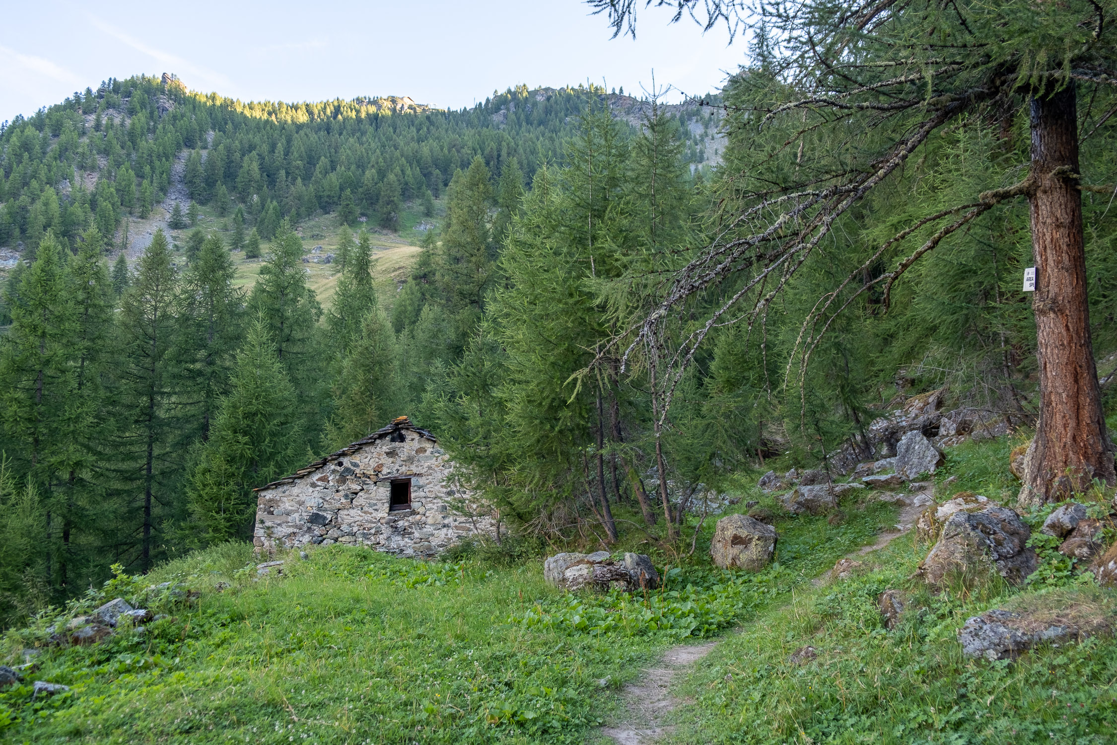
The trail climbs gently until you reach the Stotz hut (1,726 m). Behind the cabin is a dirt staircase, where the trail continues.

Stone staircase behind Stotz
At 1,775 meters, you’ll come to a trail that joins from the right (it’s a connection to
TRAIL 3
); we continue to the left.

Connection to trail 3
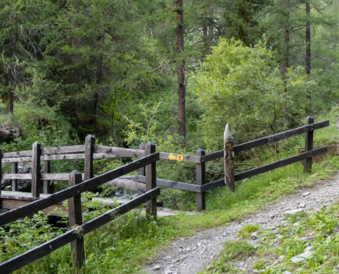
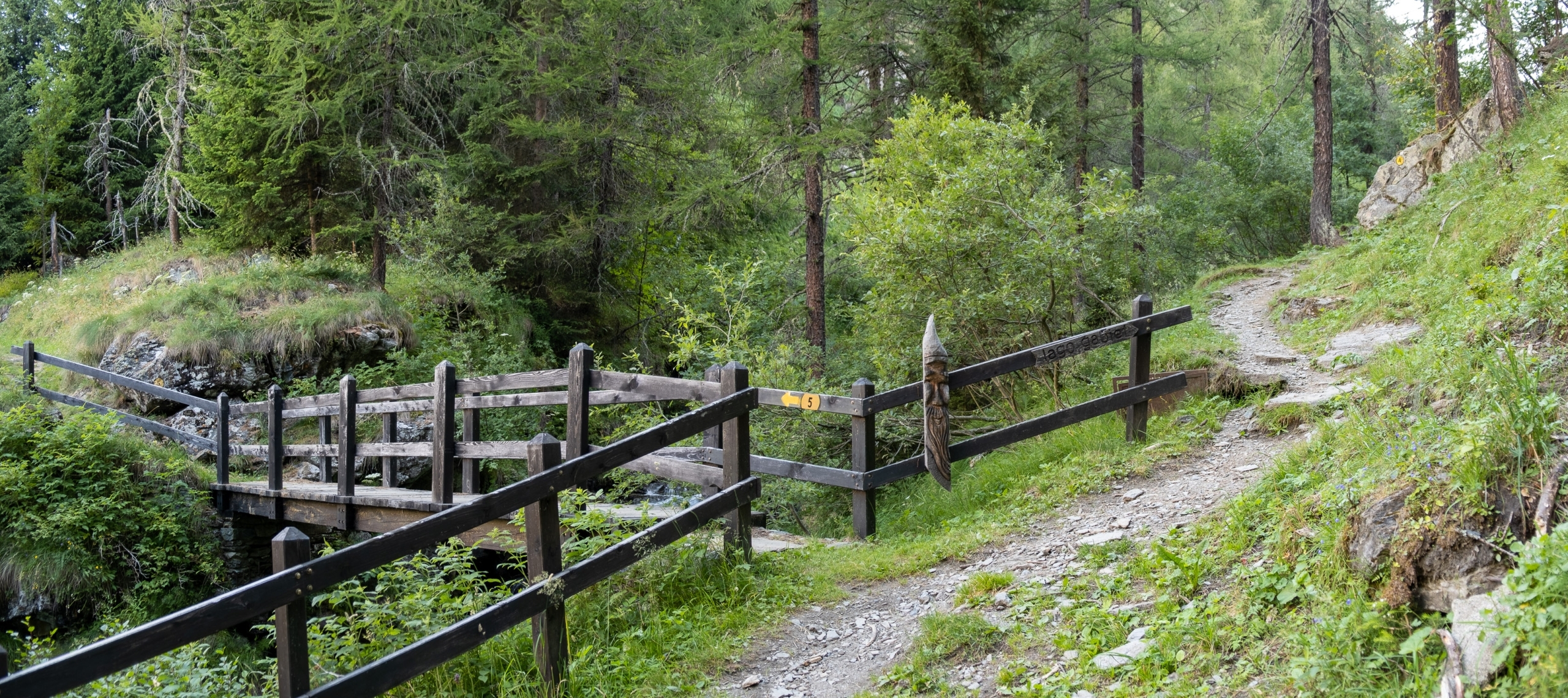
At 1,790 meters, you’ll come to a small bridge: if you want to continue on
TRAIL 5
, you must cross the bridge; if you want to take
TRAIL 4
, you must turn right.

Junction of trails 4 and 5
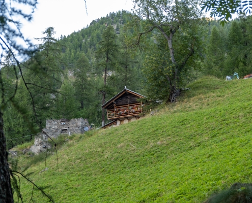
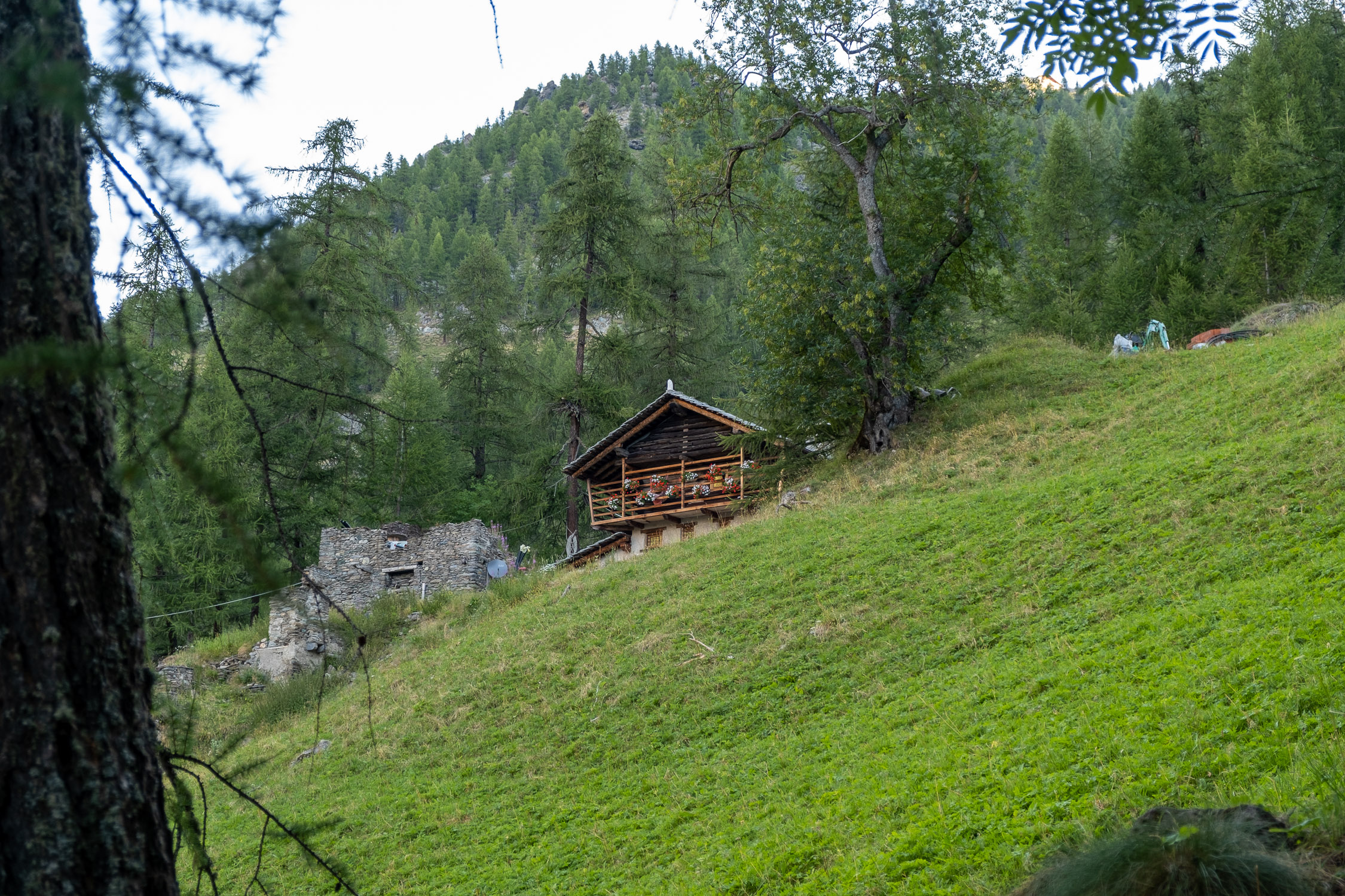
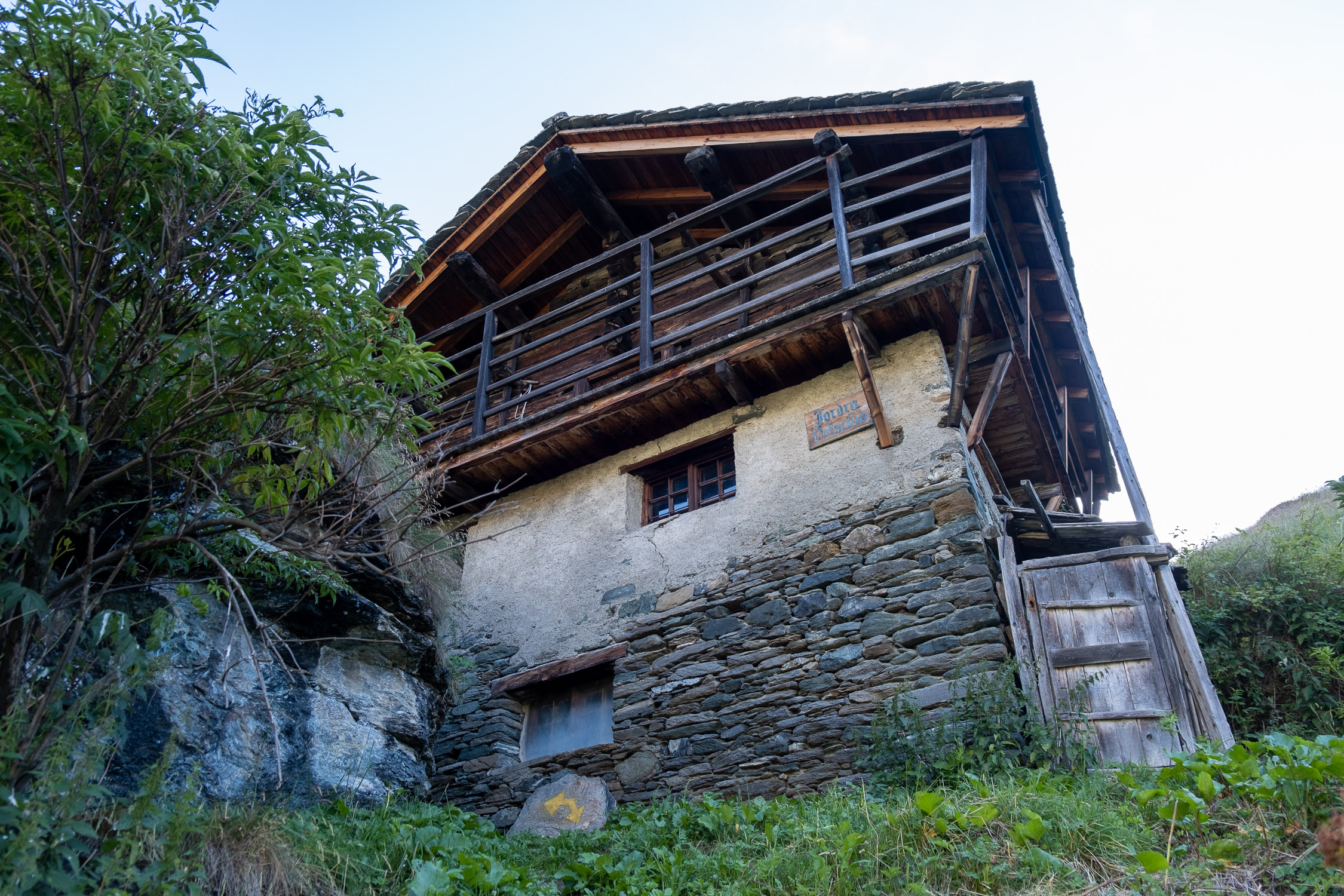
You reach the wonderful lodges of Ondro Netscho…
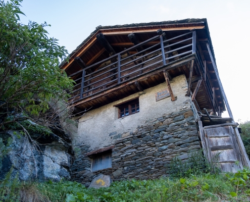
One of the two cabins in Ondro Netscho
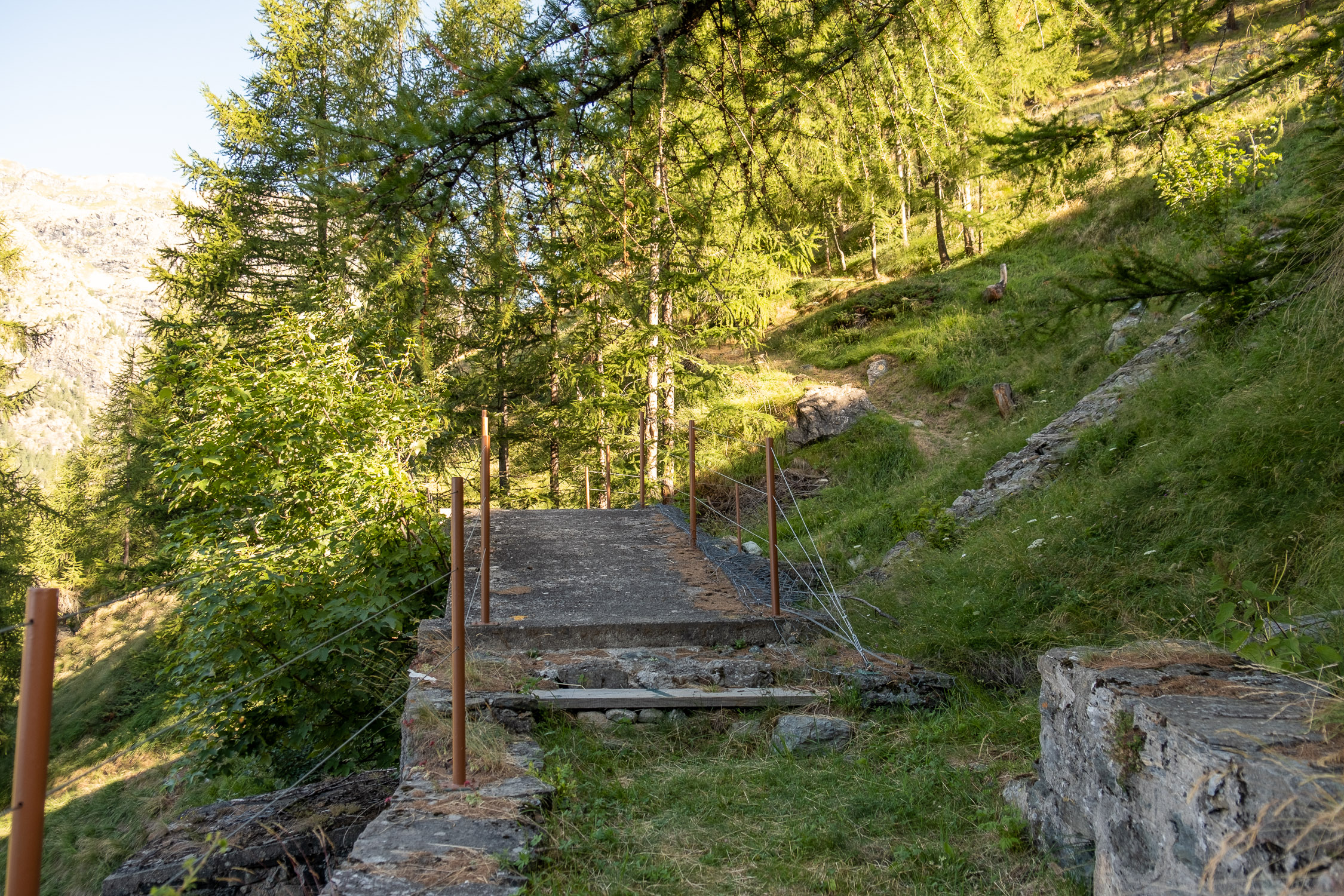
…cross a small bridge over a penstock and climb up to the dirt road (1850m) that leads to the Obre Netscho huts. You actually walk very few meters on the dirt road until you reach a new wooden stick that indicates the continuation of the trail upward.
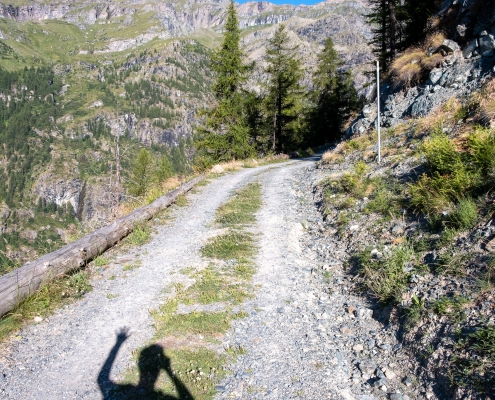
On the dirt road, the trail continues where the stick is.
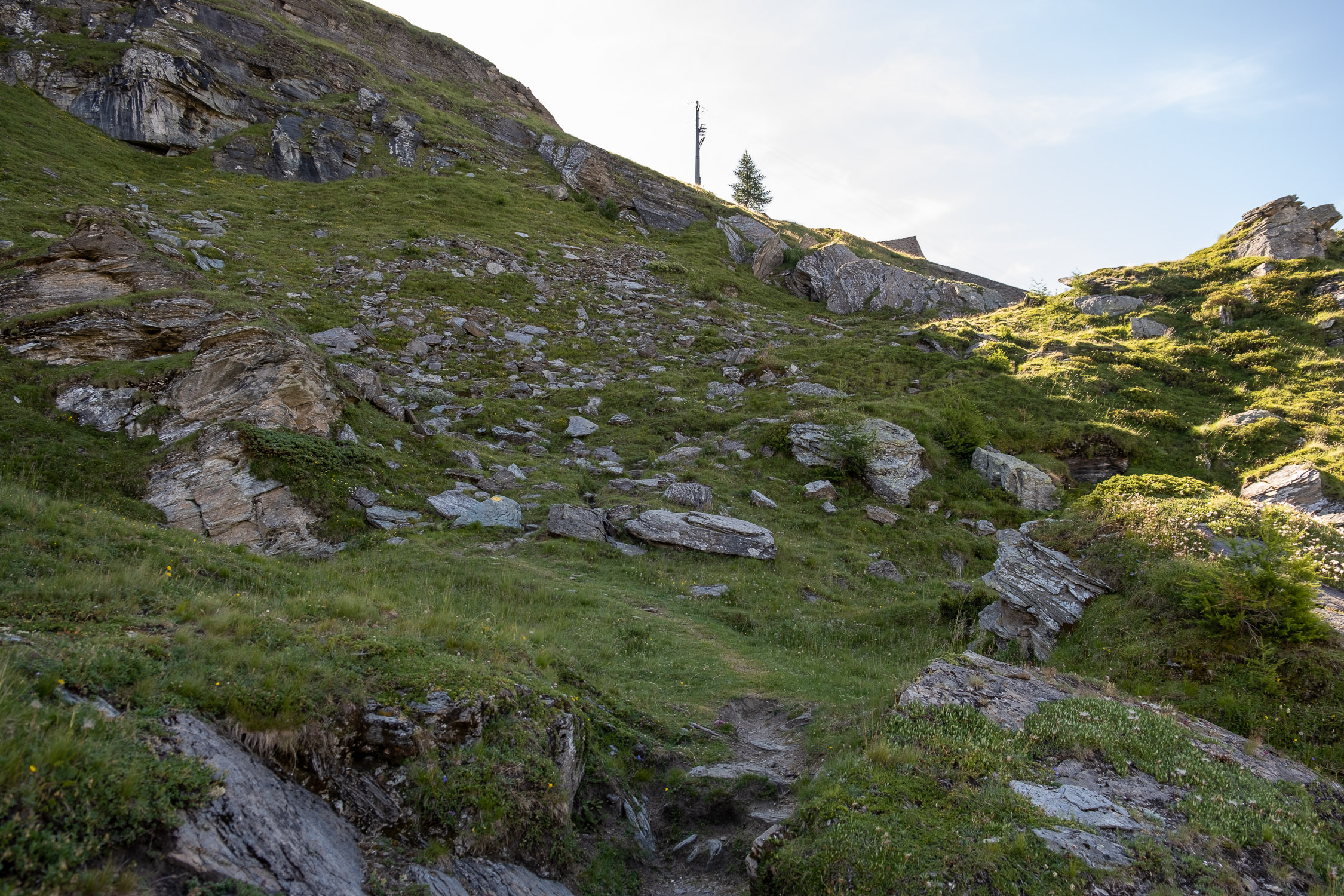
You ascend by skirting the penstock coming down from Lake Gabiet for about 100m of elevation gain: in this section you pass a couple of really steep points.
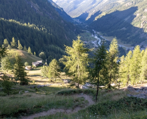
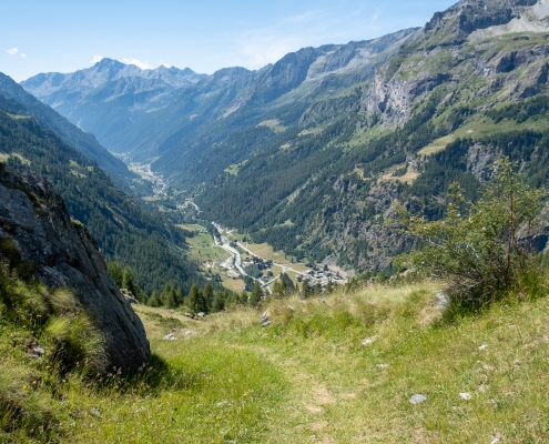
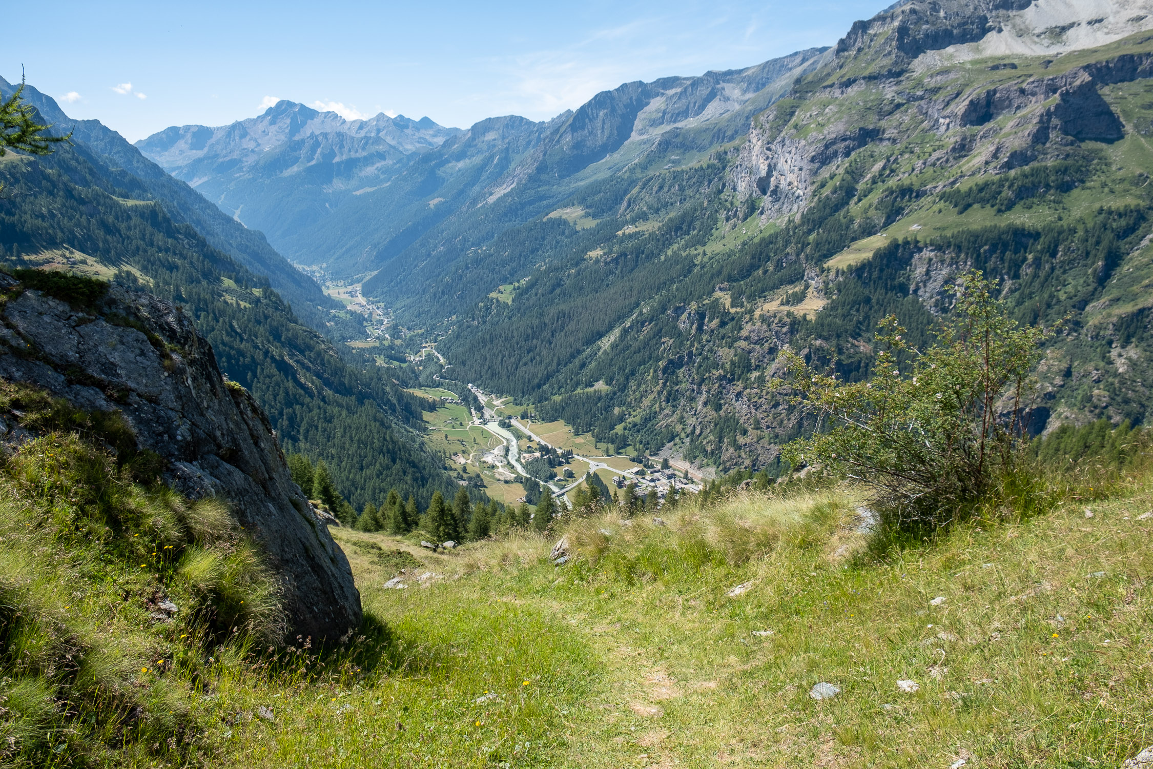
Looking down from where the path is very steep
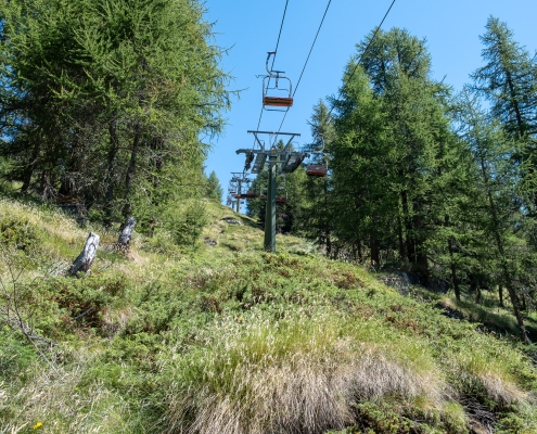
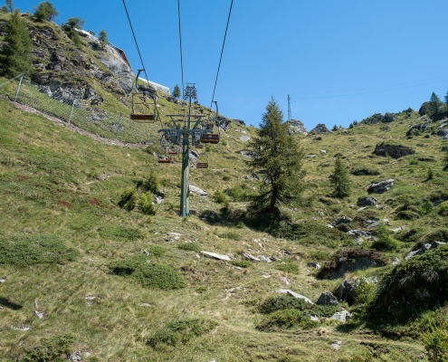
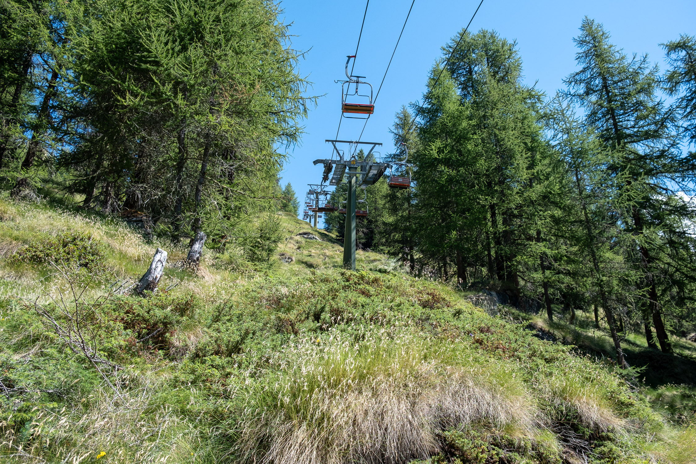
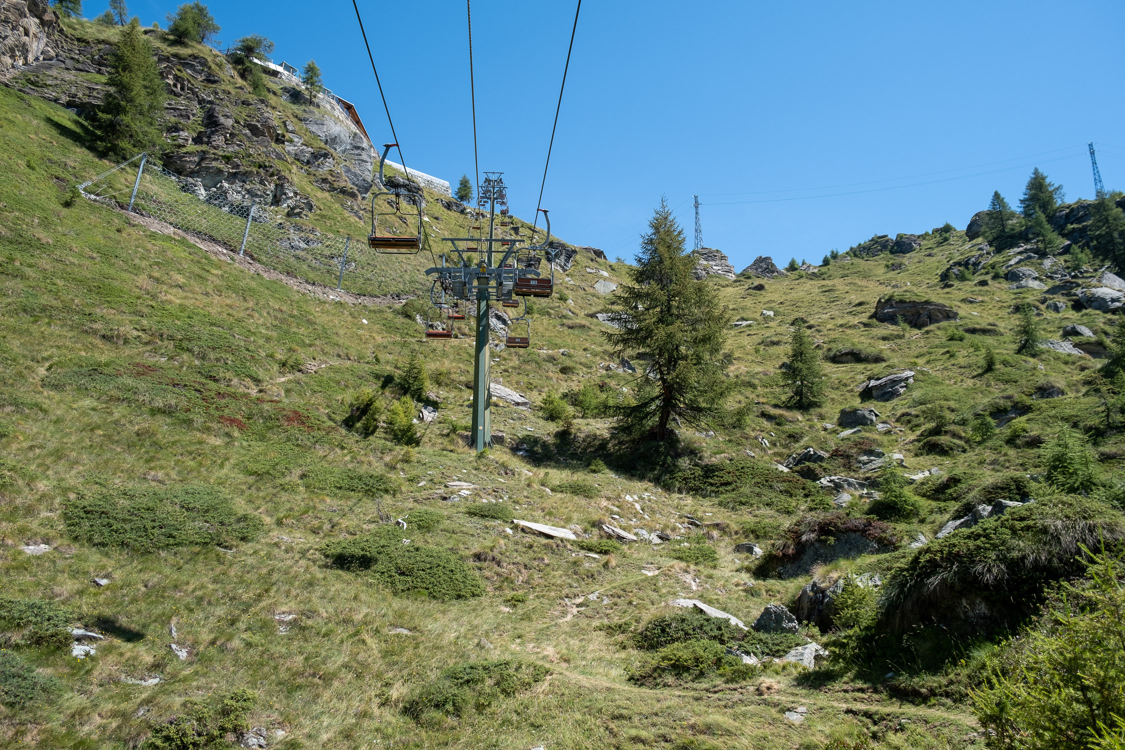
At 1950m you leave the pipeline and ascend to the left, entering the forest. At 2075m you reach below the route of the Punta Jolanda chairlift, which you do not leave again until the end: you first ascend moving from one pylon to another until, at about 2100m, you reach the small basin below the arrival of the chairlift.
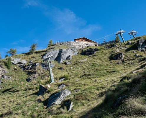
The basin below the arrival of the chairlift
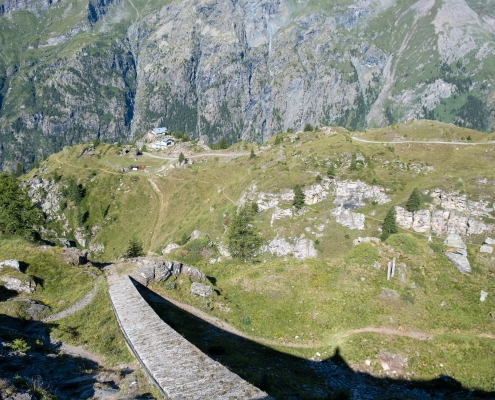
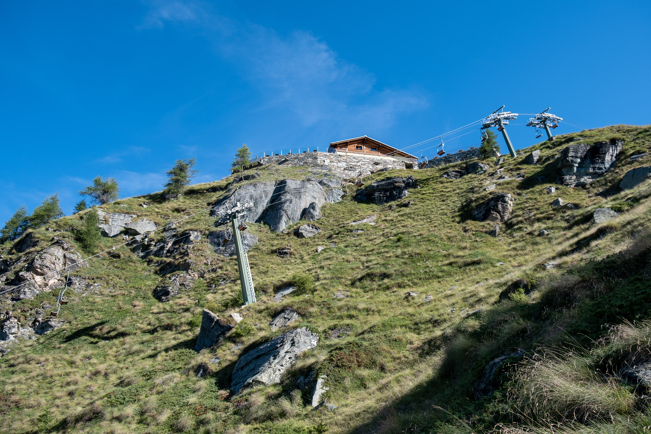
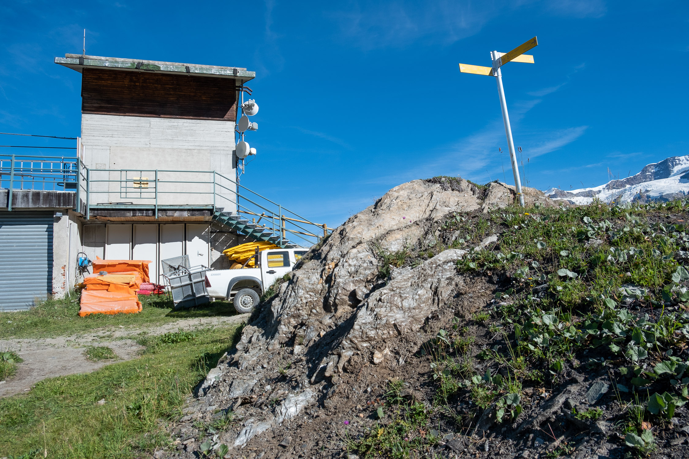
The trail leaves the pylons and moves to the right, and climbs with a couple of wide turns until it comes out to the right of the chairlift station. We thus arrived at Punta Jolanda, 2240m.
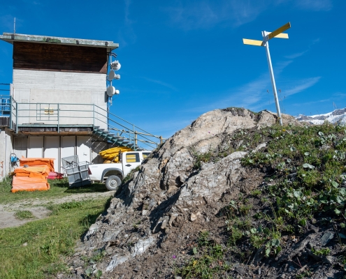
The path arrives next to the station
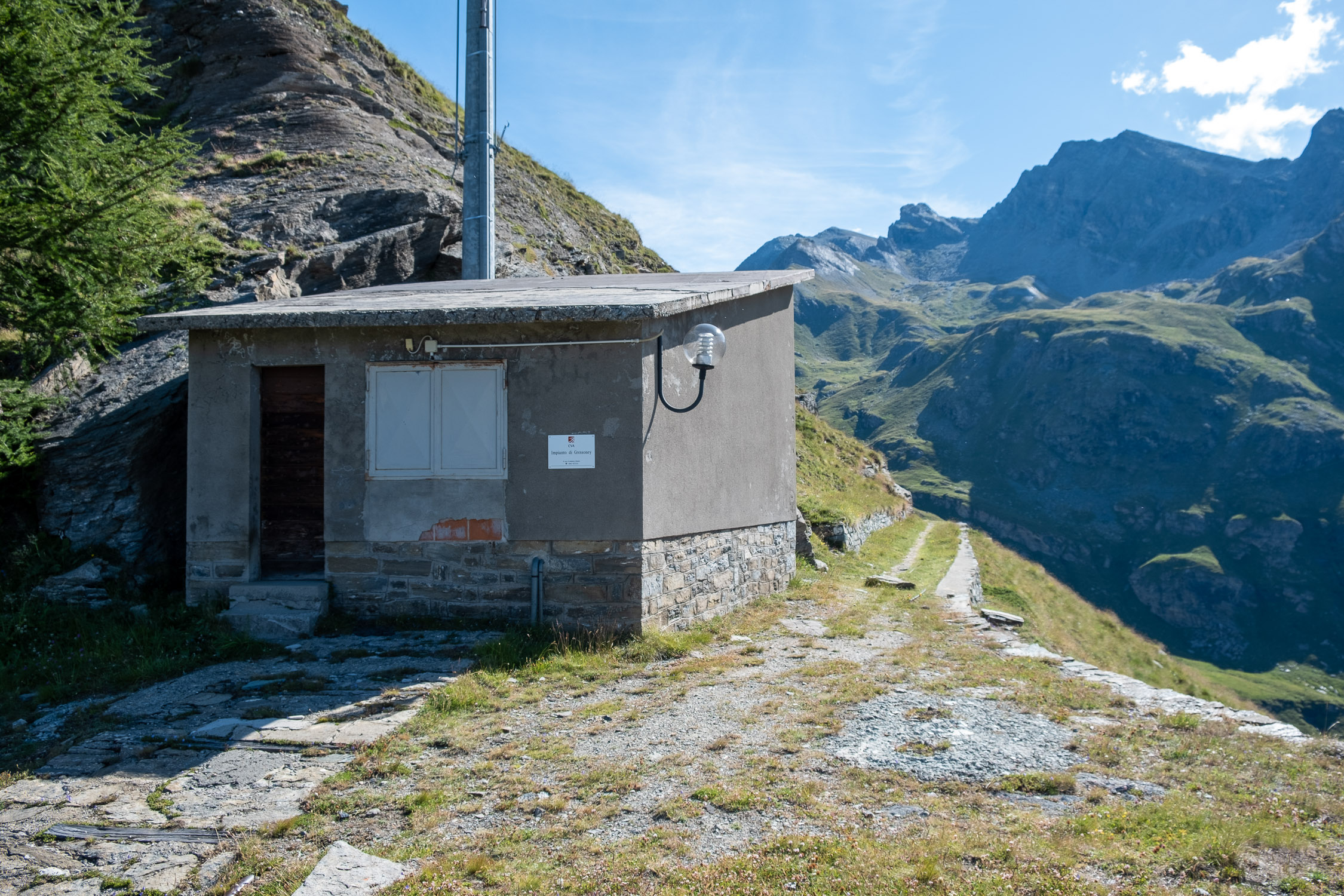
The trail continues to the right, staying away from the dirt road at the foot of the station. You go over a first small bump and enter a short little valley, which you follow all the way to the bottom until you climb up on the opposite side the ridge that descends from Mt. Seehore, in the direction of some buildings related to the hydroelectric power plant that can be seen from a distance.
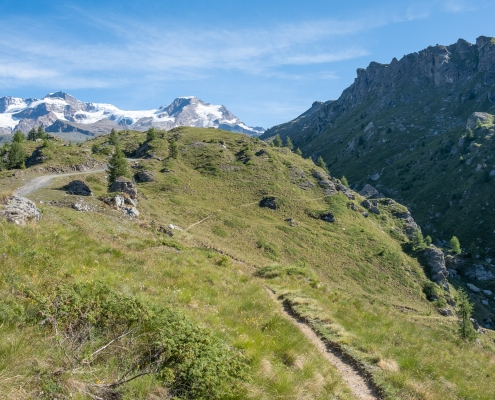
On the right is the ridge of Seehore Mountain.
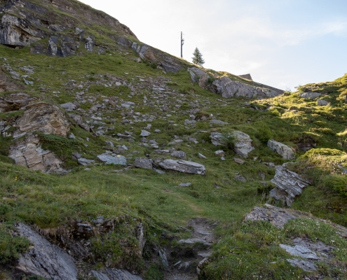
Once you reach these constructions, go up a few meters standing to the right of the penstock (be careful because there are trail tracks that continue to the right instead, but do not lead to anything).
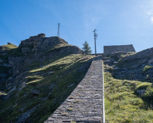
Go up to the right of the penstock
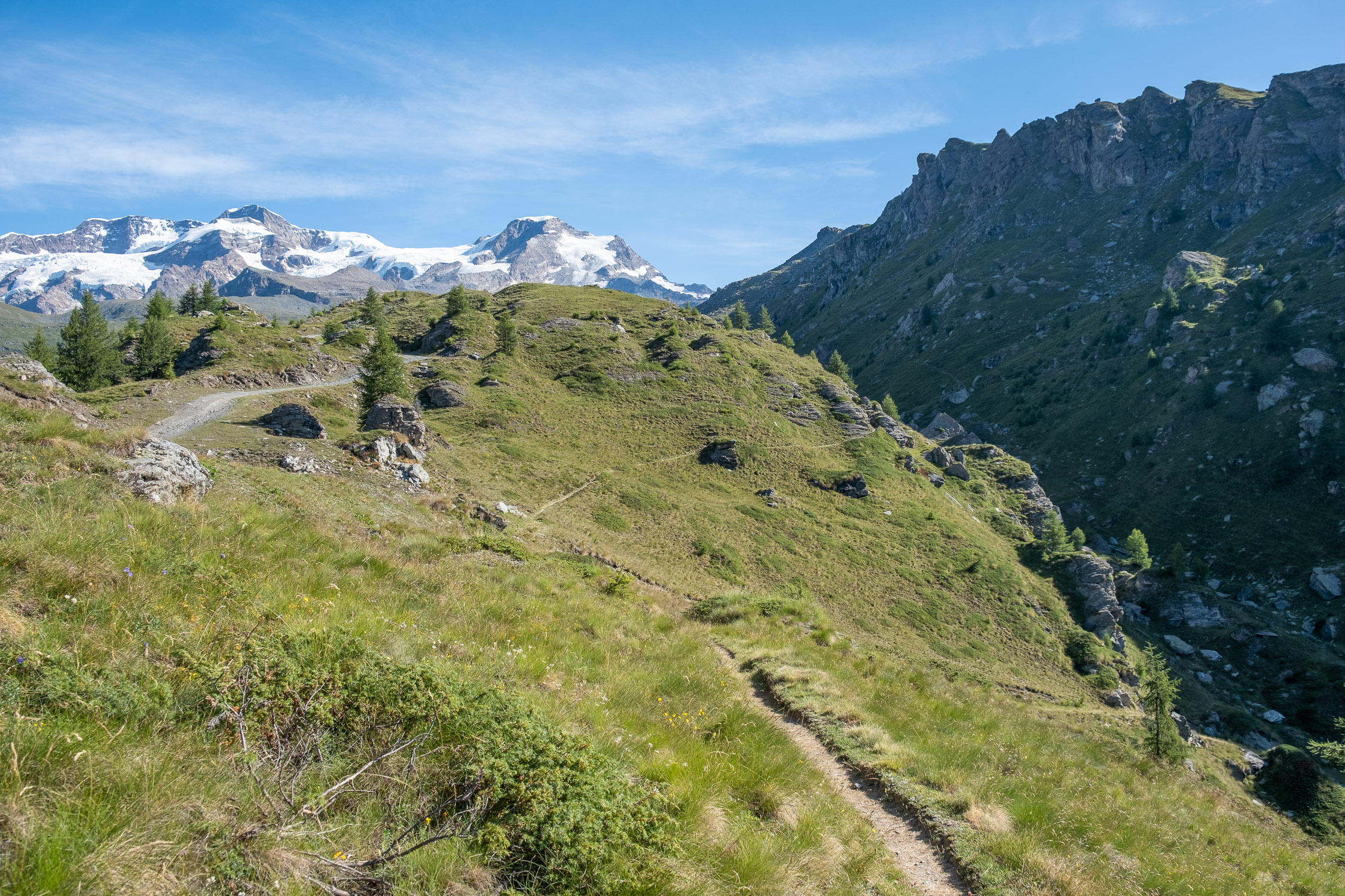
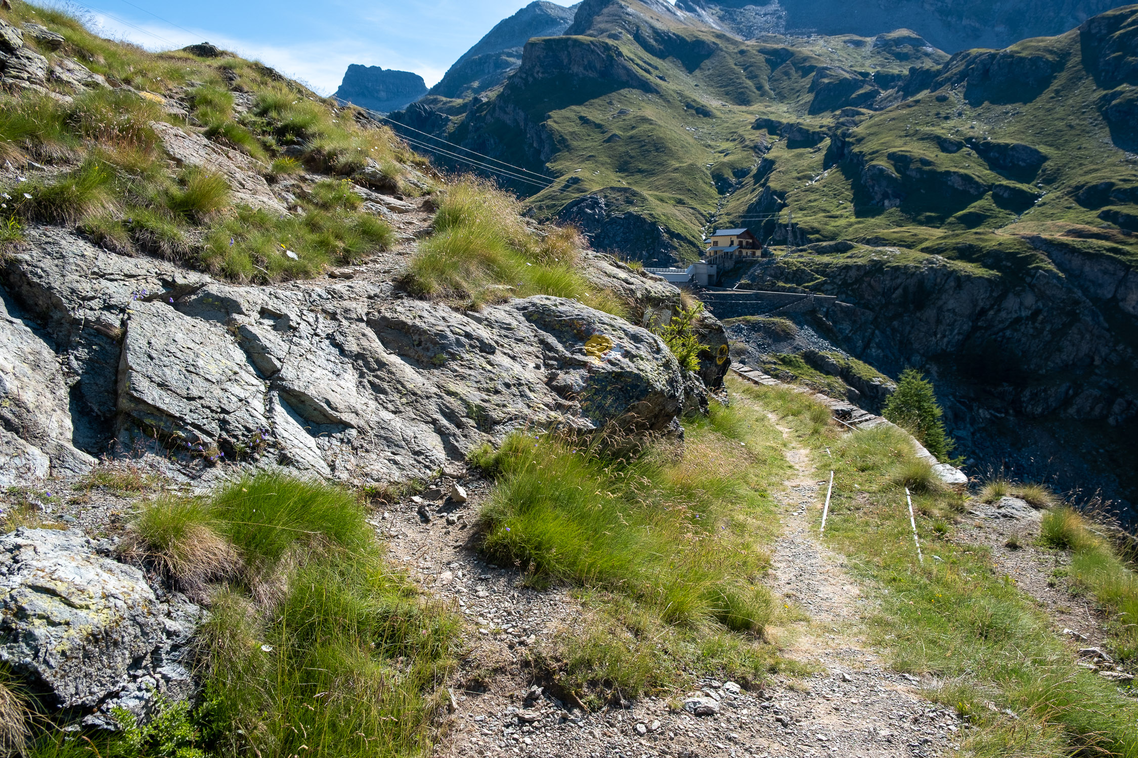
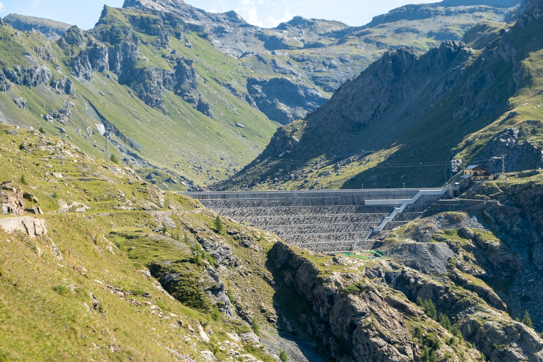
The trail finally comes out on the opposite slope, where it becomes a proper little road (with old tracks surfacing here and there) that continues practically horizontally to the Gabiet Dam.
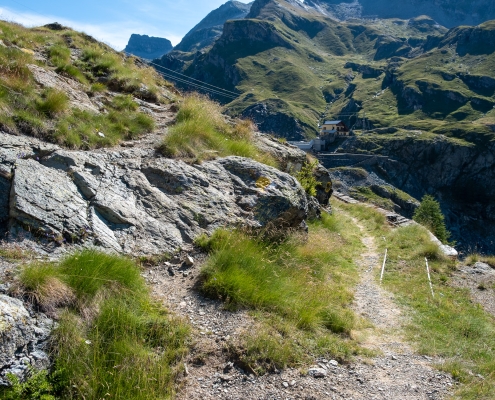
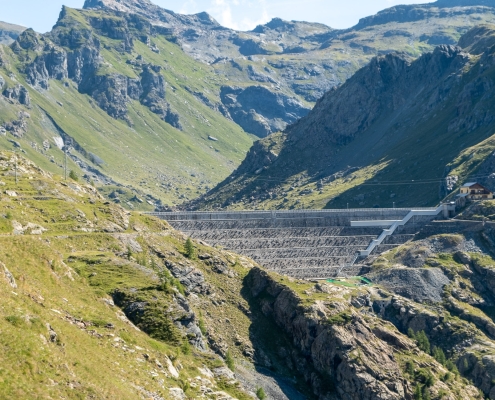
The horizontal path leading up to the dam
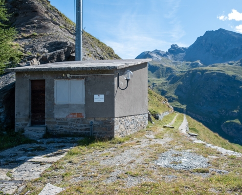
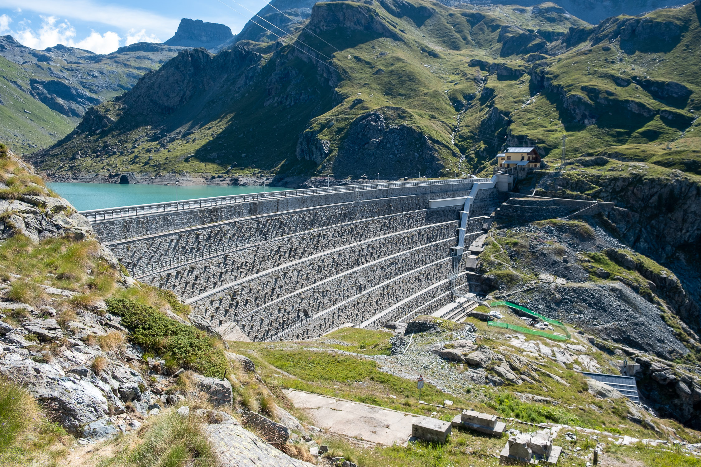
Along the narrow road, you will find a detour to the left: do not follow it, but continue tirelessly along the track, which ends when you have practically reached the dam, at a sign showing the history and characteristics of the plant. Please note: it is not permitted to climb onto the dam. Even if you are tempted to sneak past the low barriers, be aware that the guards in the house on the opposite side are always present and keep a close eye on things (ahem…).
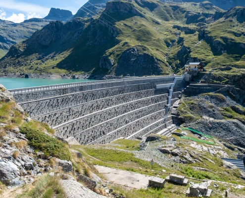
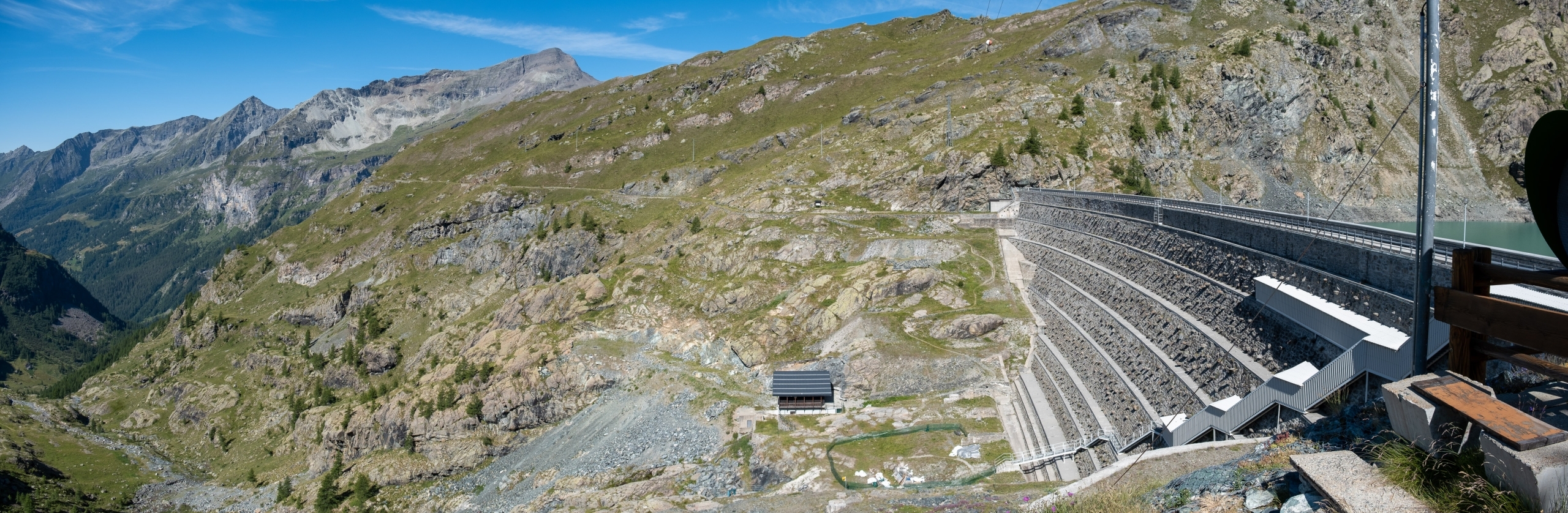
Gabiet Dam
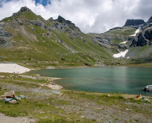
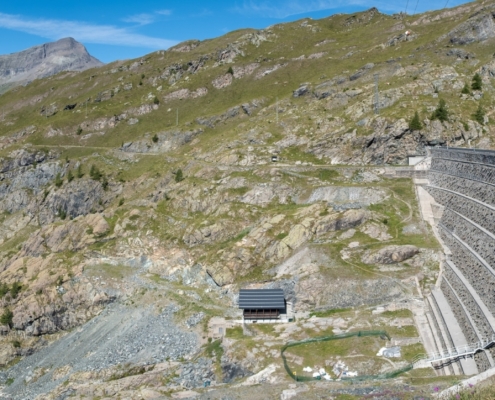
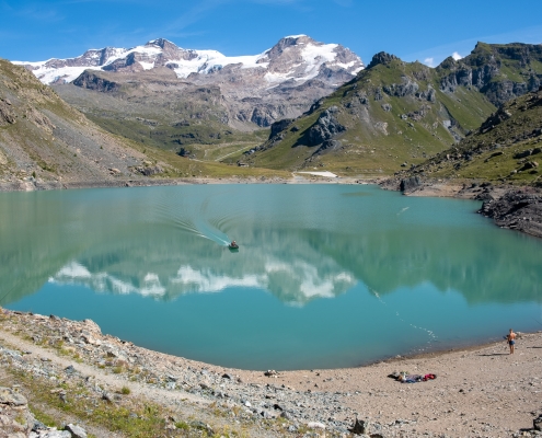
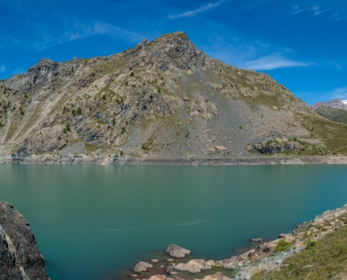
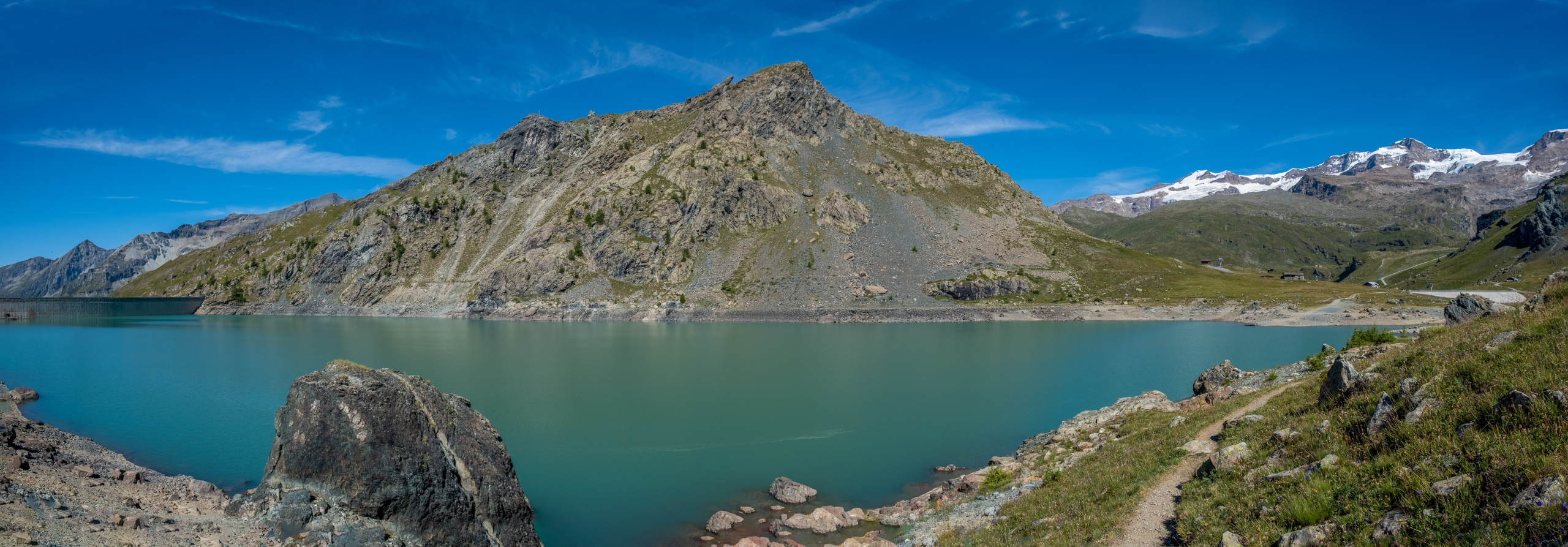
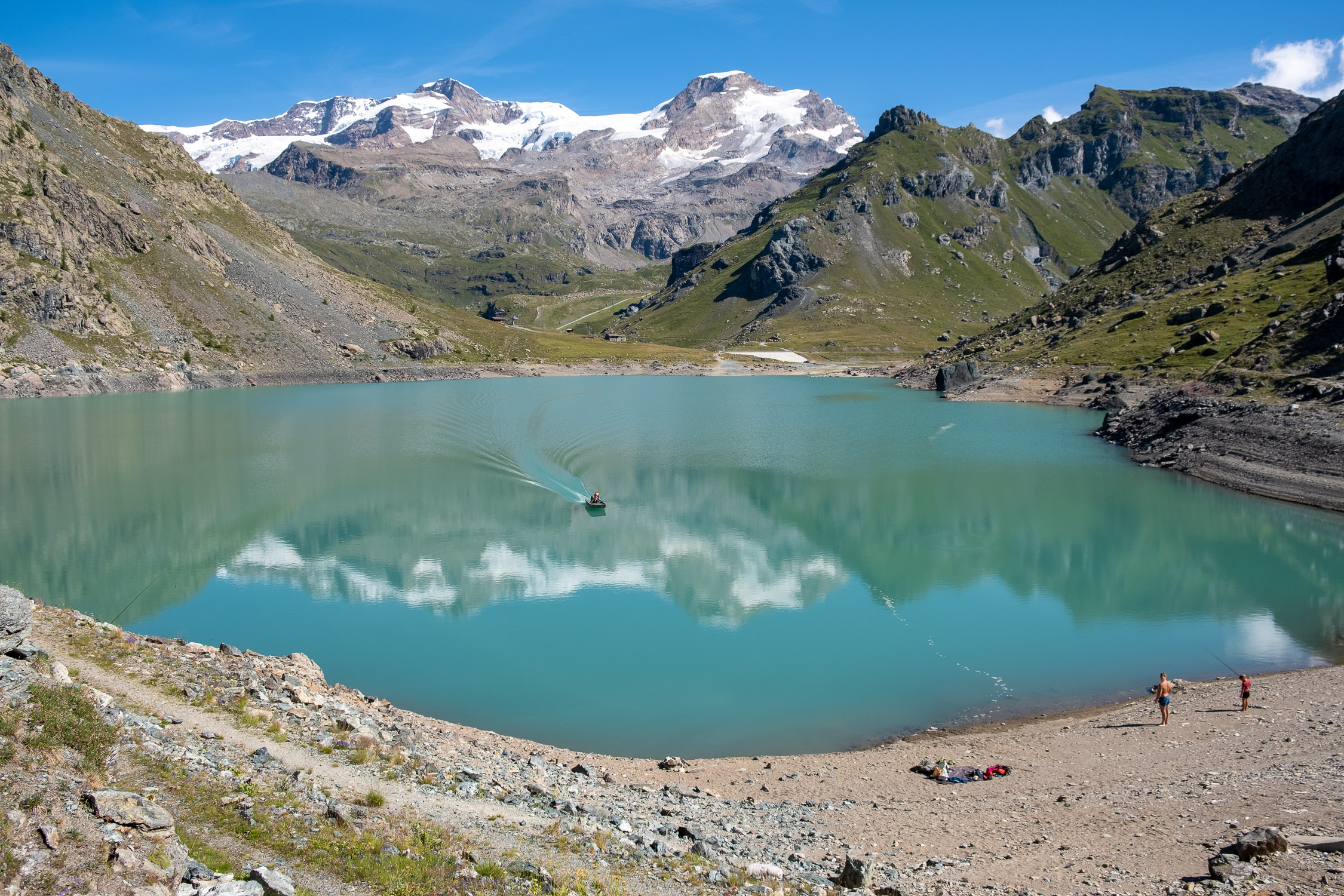
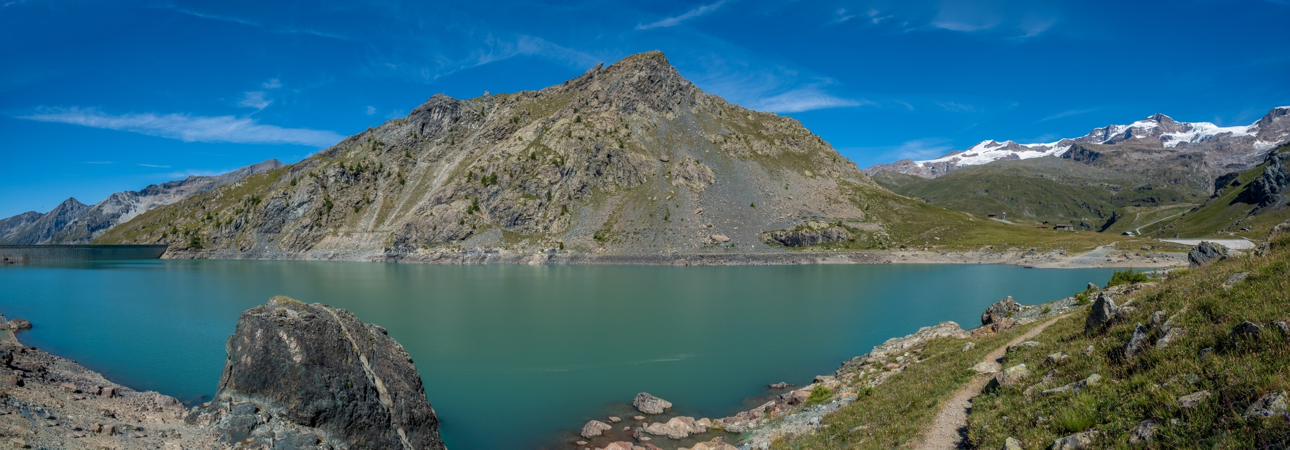
The trail descends to the base of the dam, shifts to the right, climbs up to the warden’s house and comes to the edge of Lake Gabiet. From here on, the trail circumnavigates the lake in a counterclockwise direction, with very little change in gradient, for some stretches over rocky terrain…
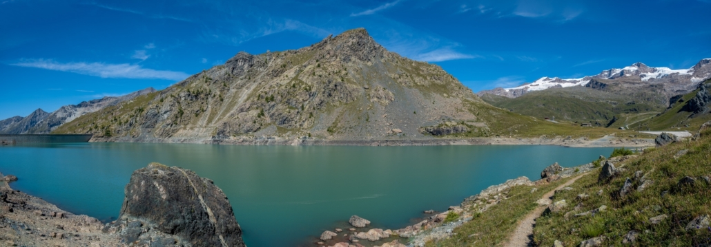
Mount Seehore above the Gabiet
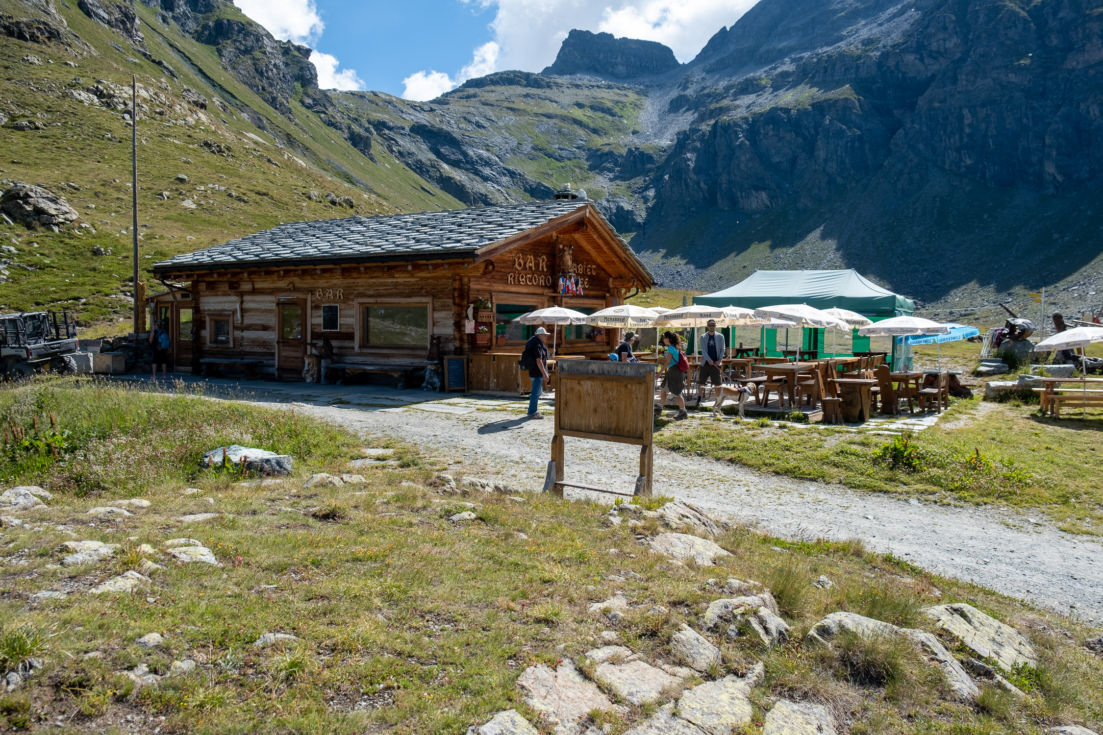
…finally ending near the secondary dam, above which you can see the Bar Gabiet See Mountain Hut.
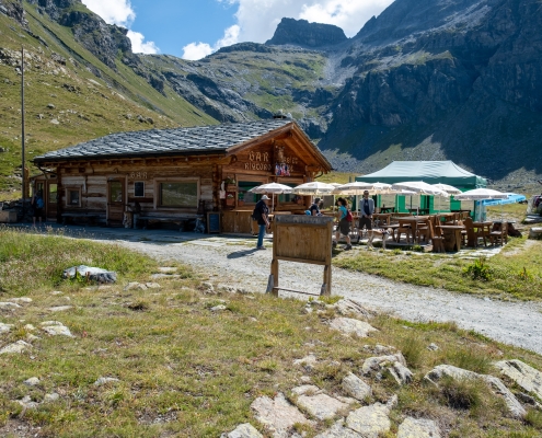
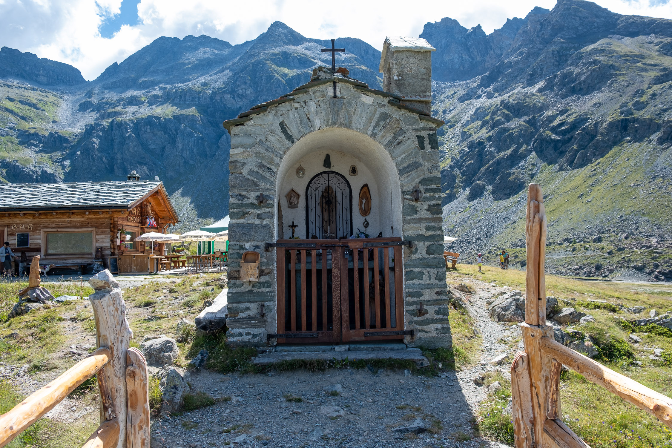
The Refuge Bar Gabiet See
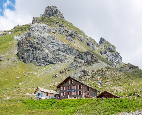
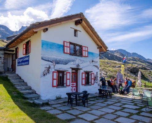
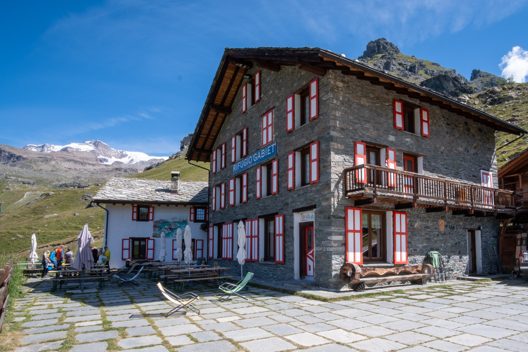
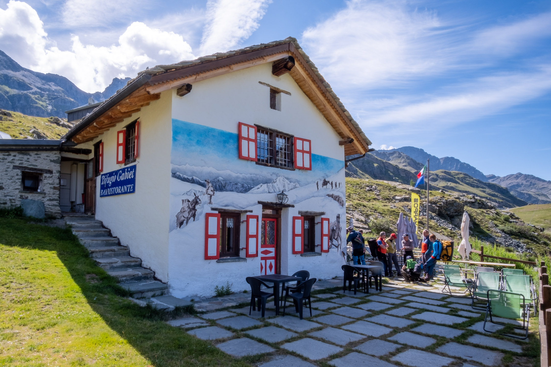
Rifugio Gabiet (2370m), the destination of the trail, is just below, a few meters away.
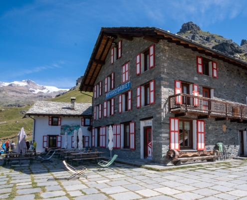
The Gabiet Refuge