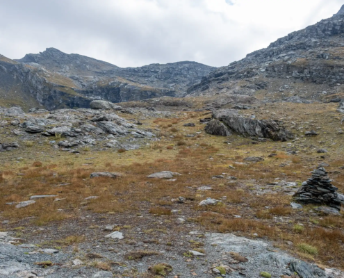
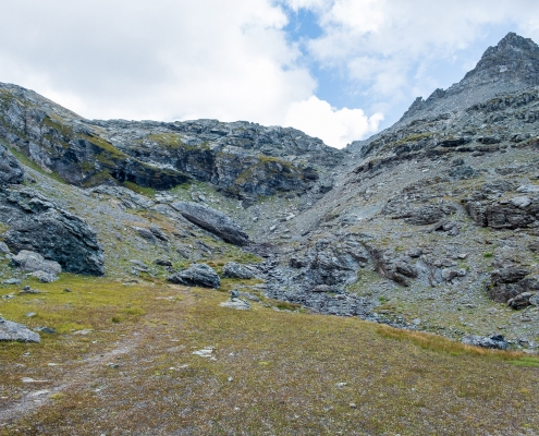
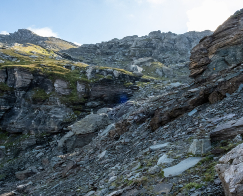
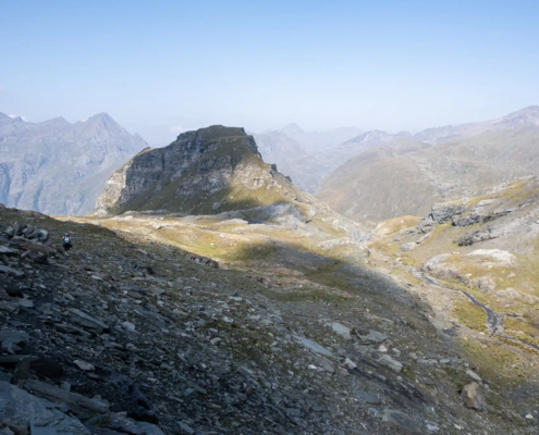
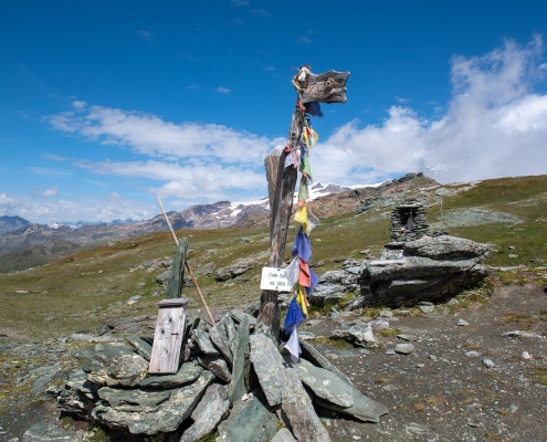
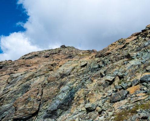
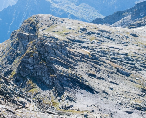
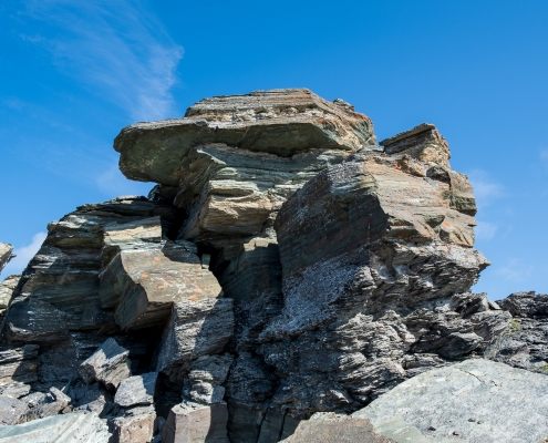
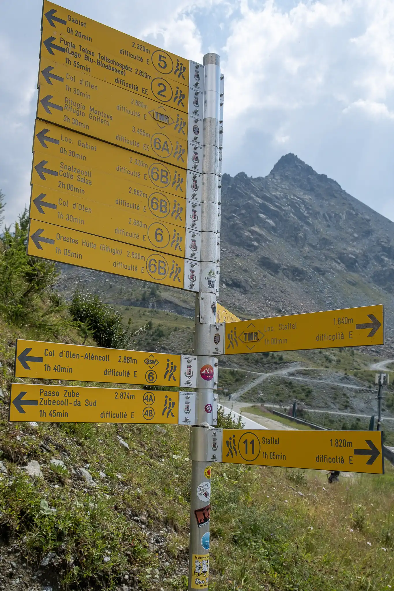
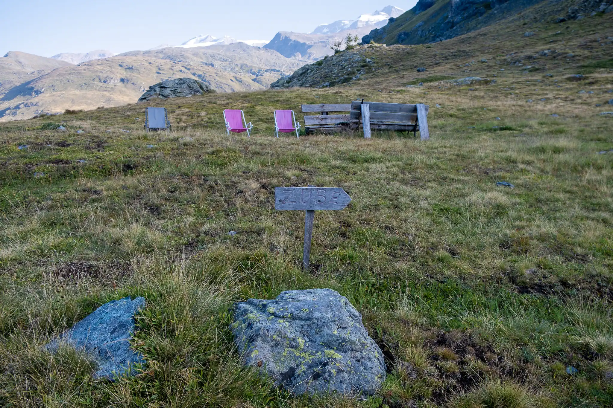
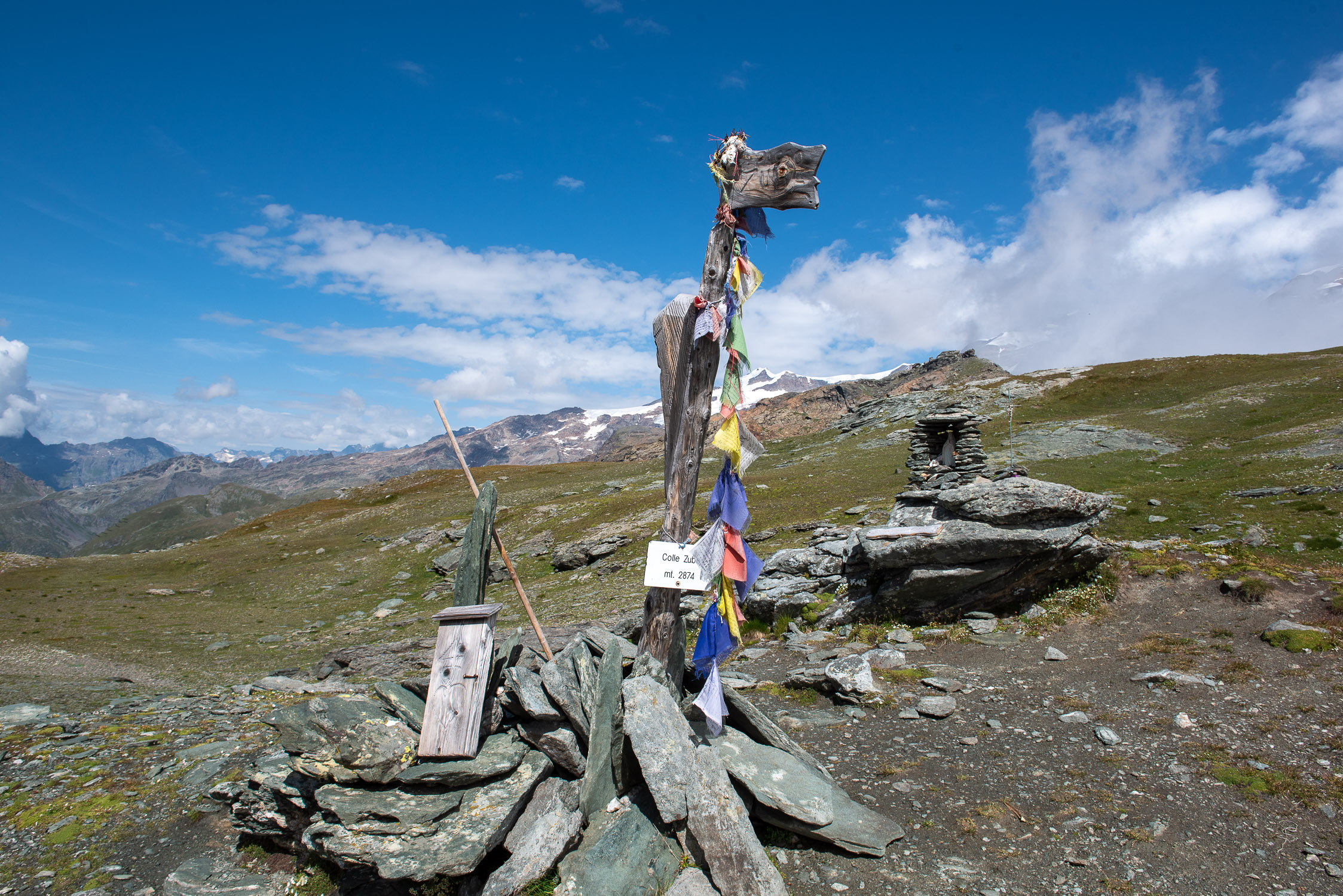
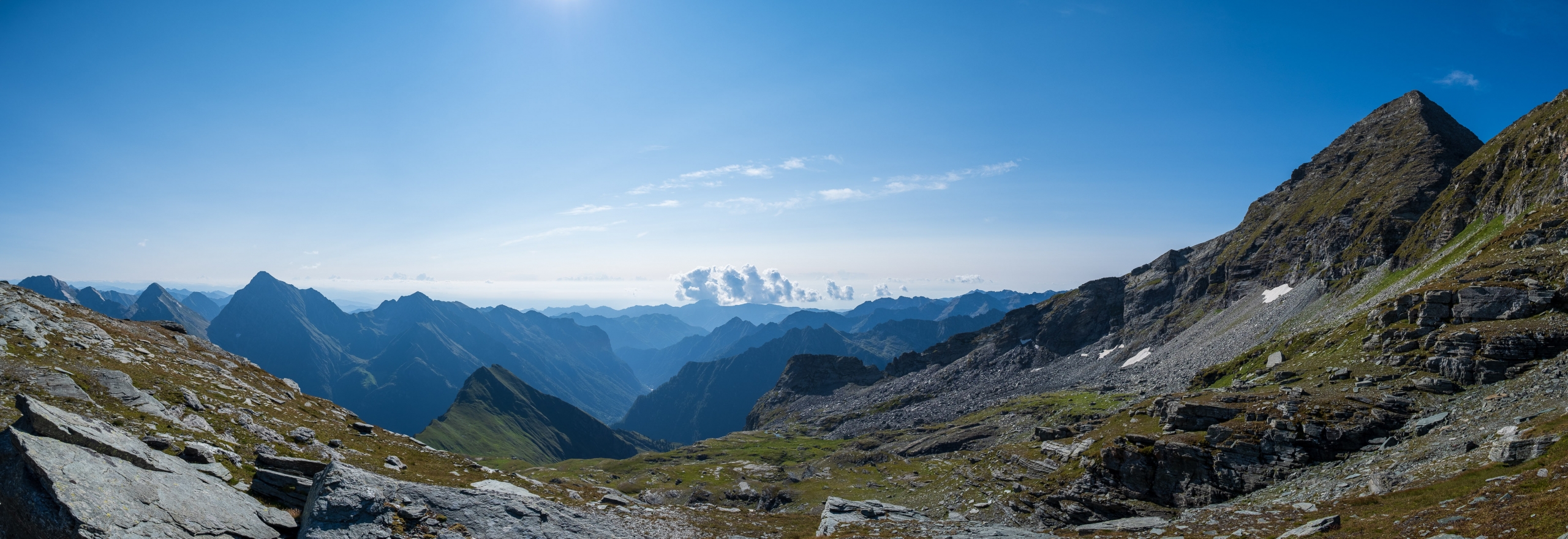
Zube pass (2,871 m), Trail 4A
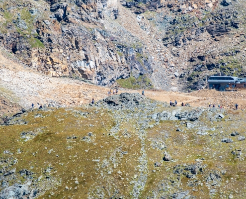
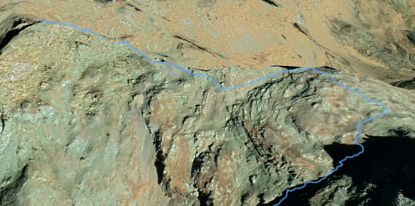
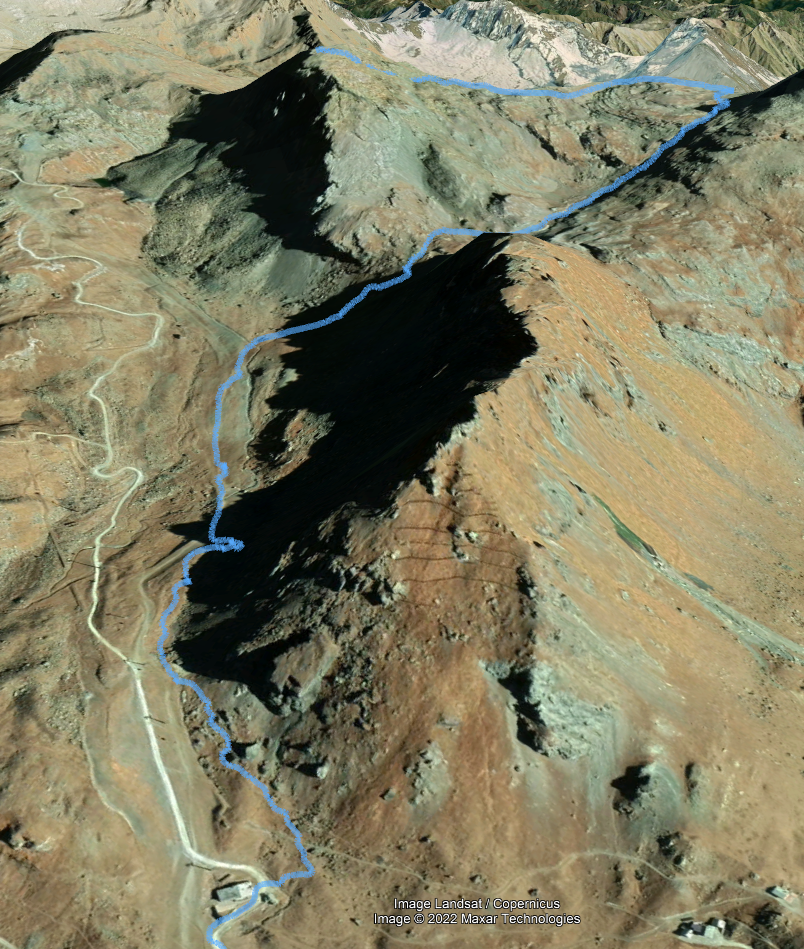
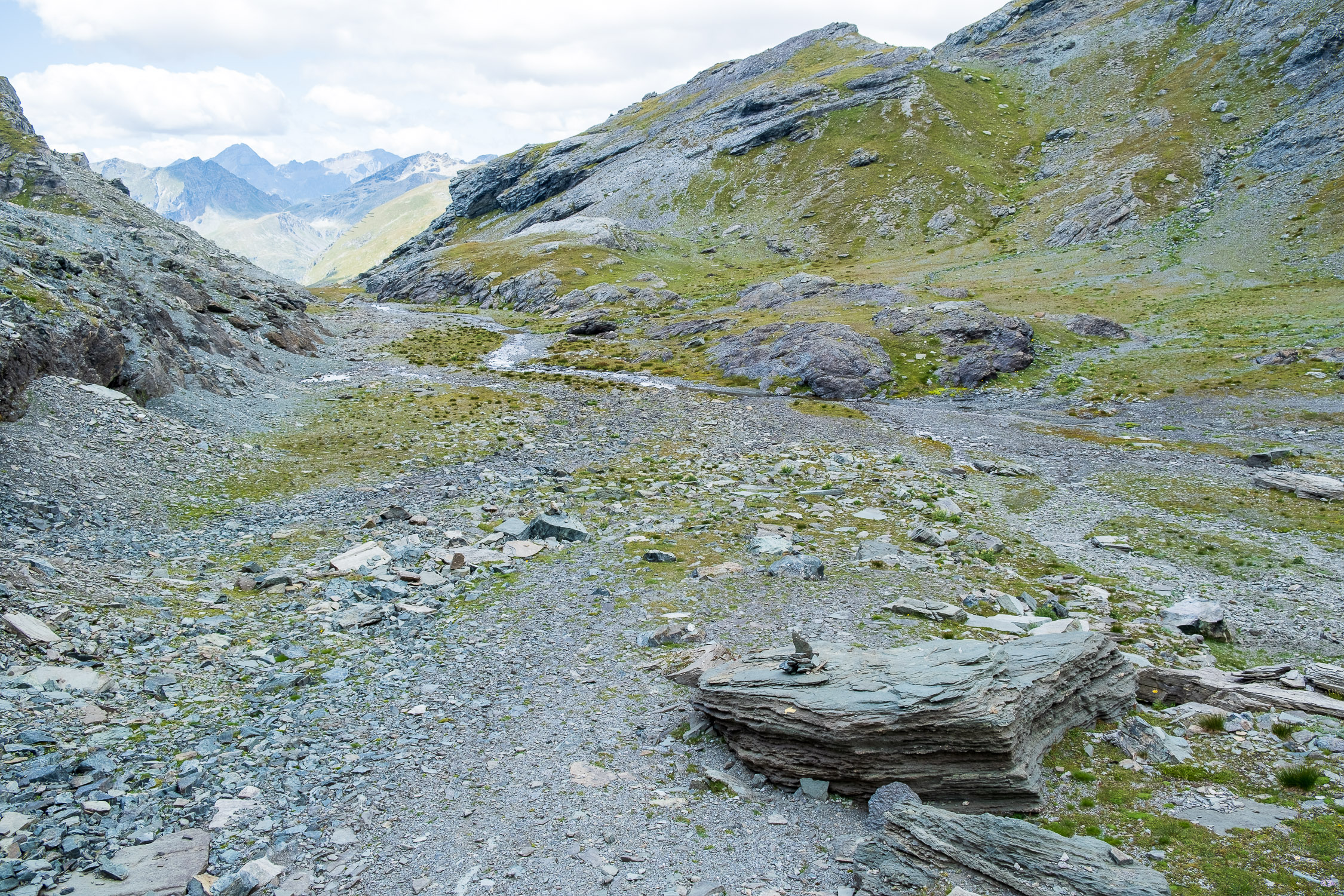
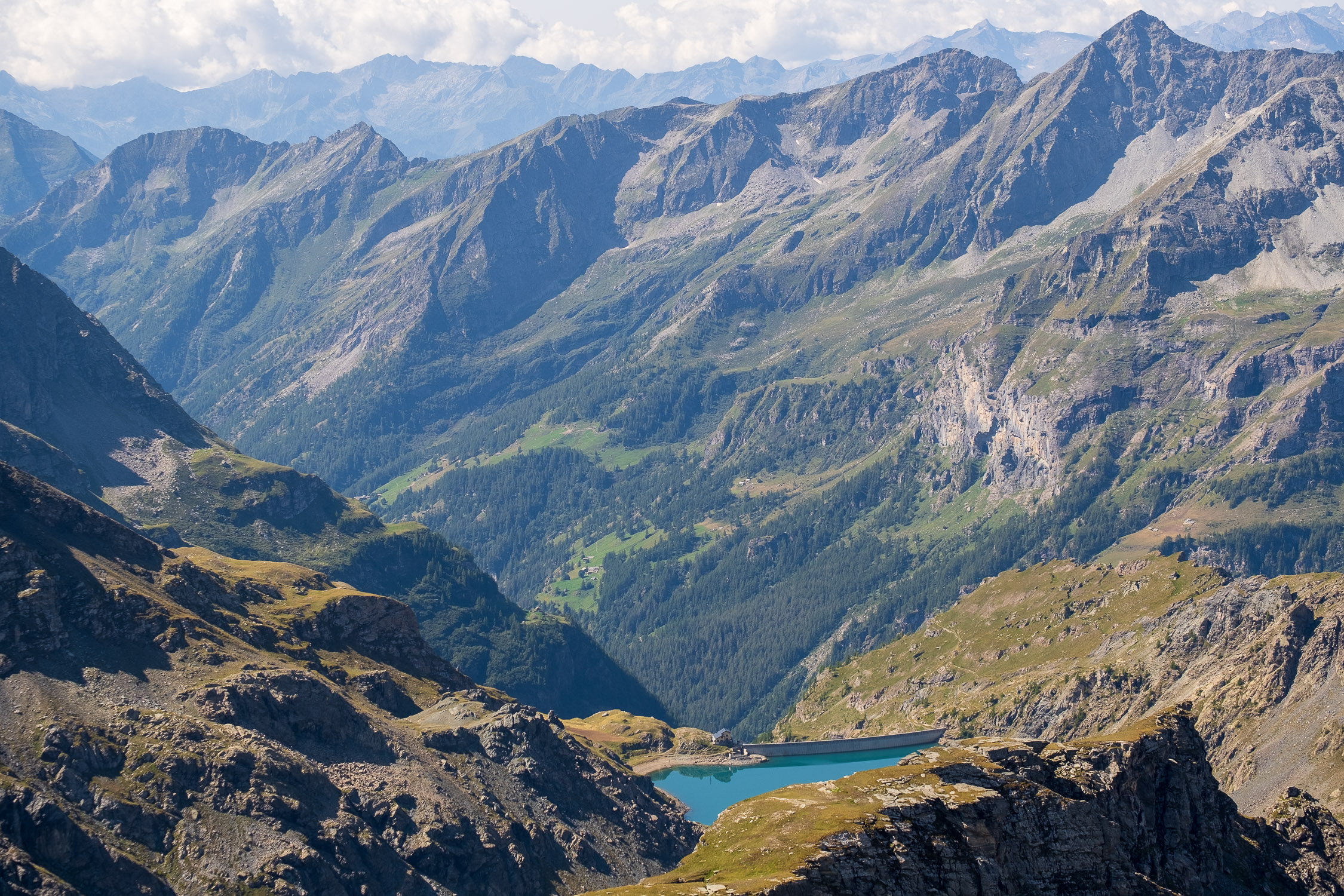
From the Gabiet refuge to Zube pass, from the south
(you can continue to the Red Horn/Rothòre).
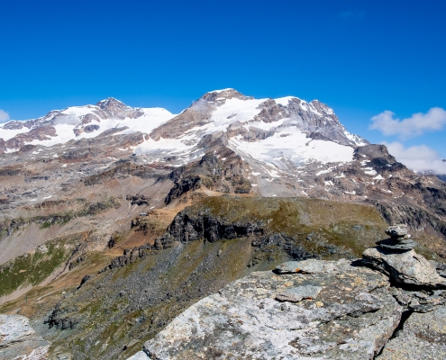
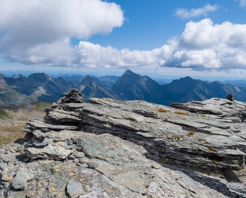
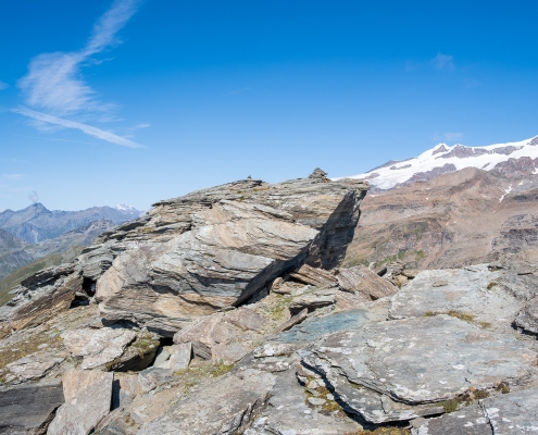
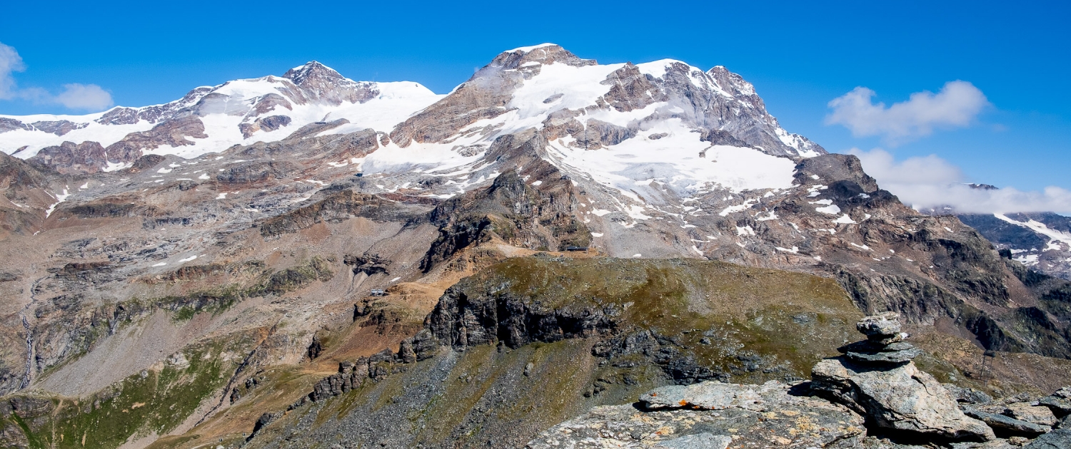
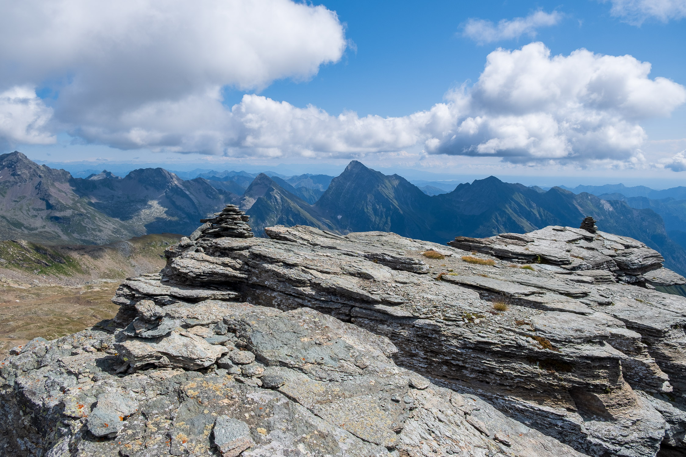
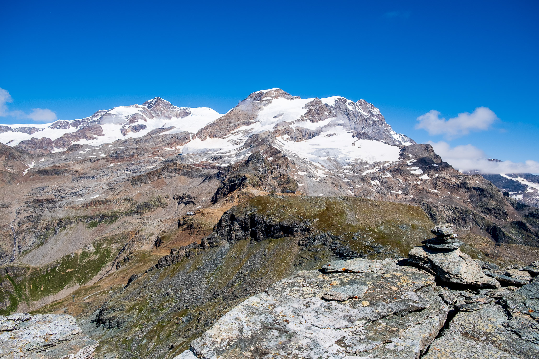
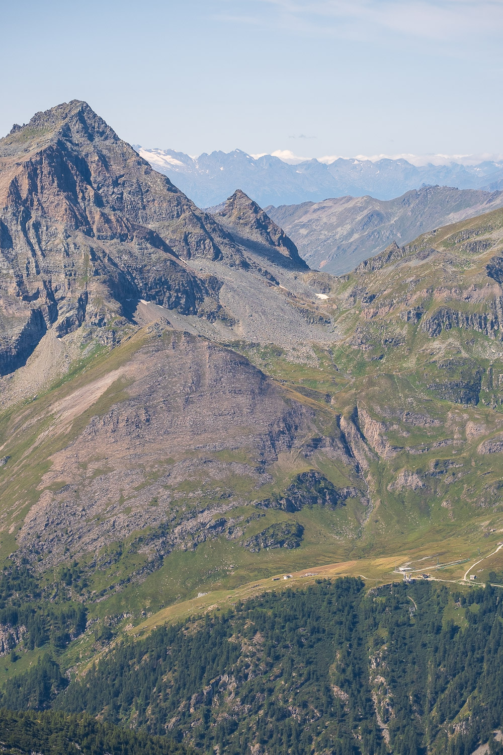
Lyskamm and Vincent Pyramid from the Rothòre
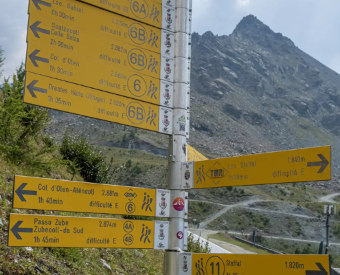
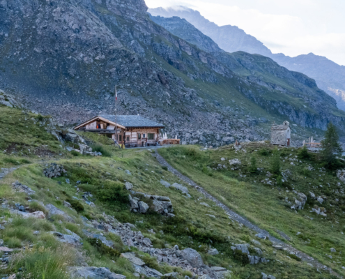
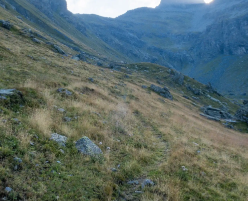
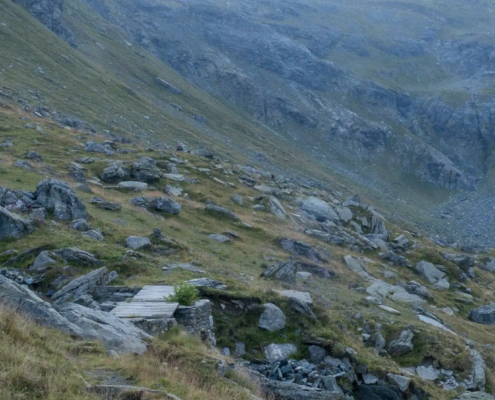
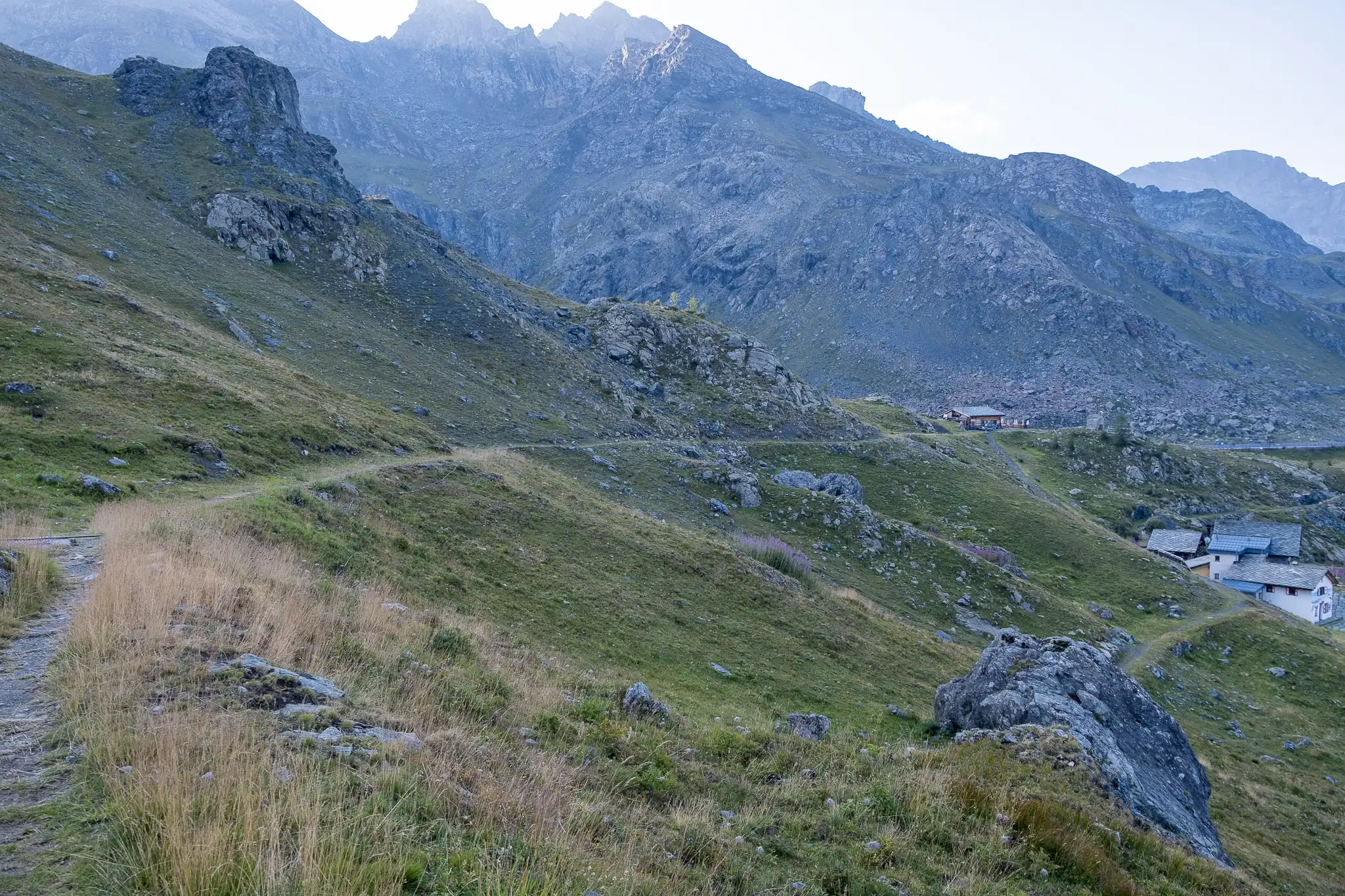
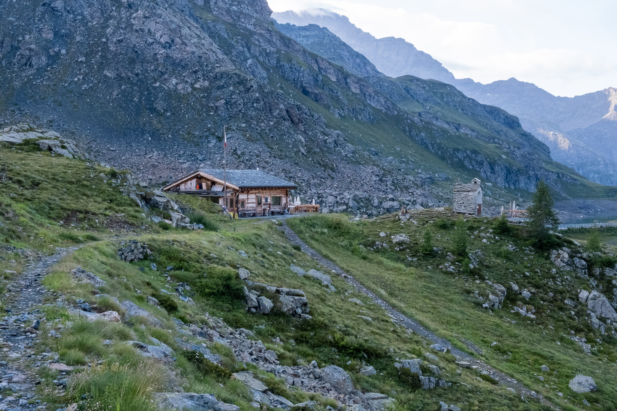
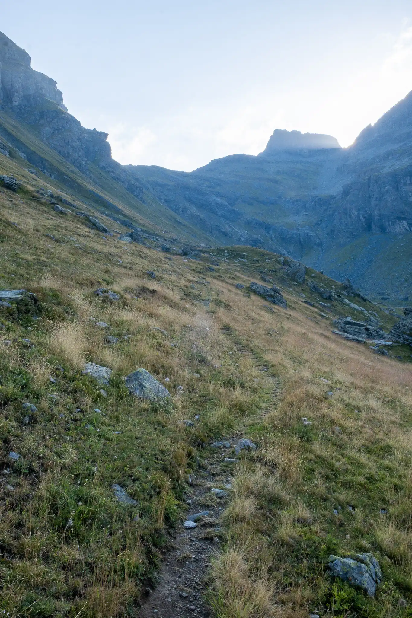
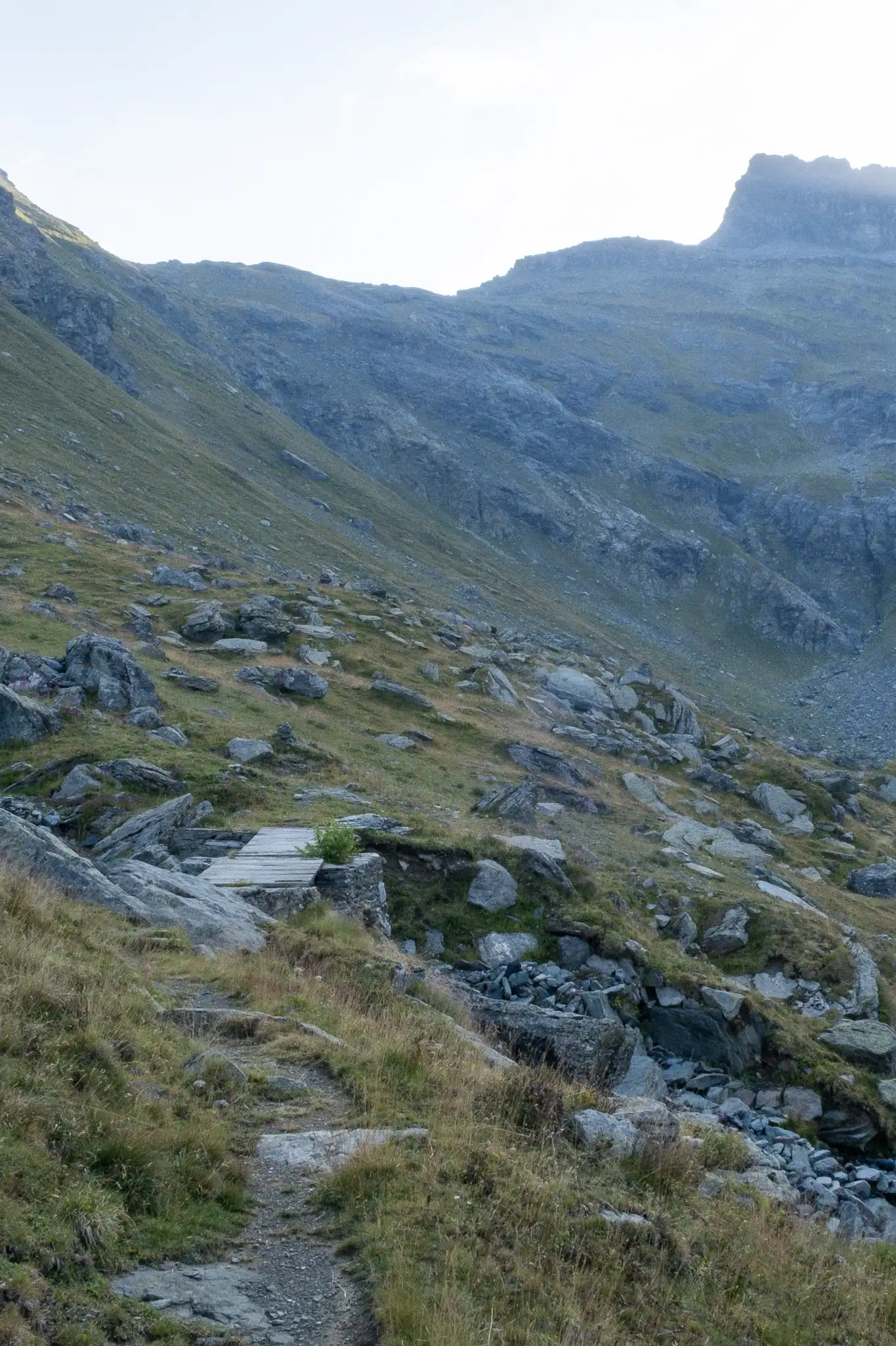
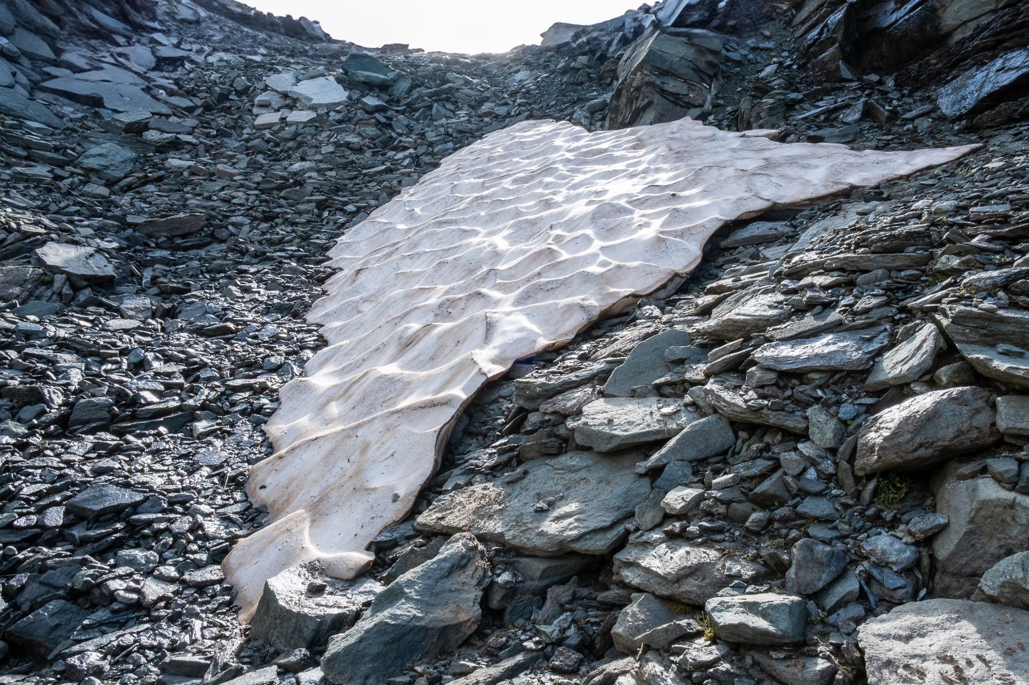
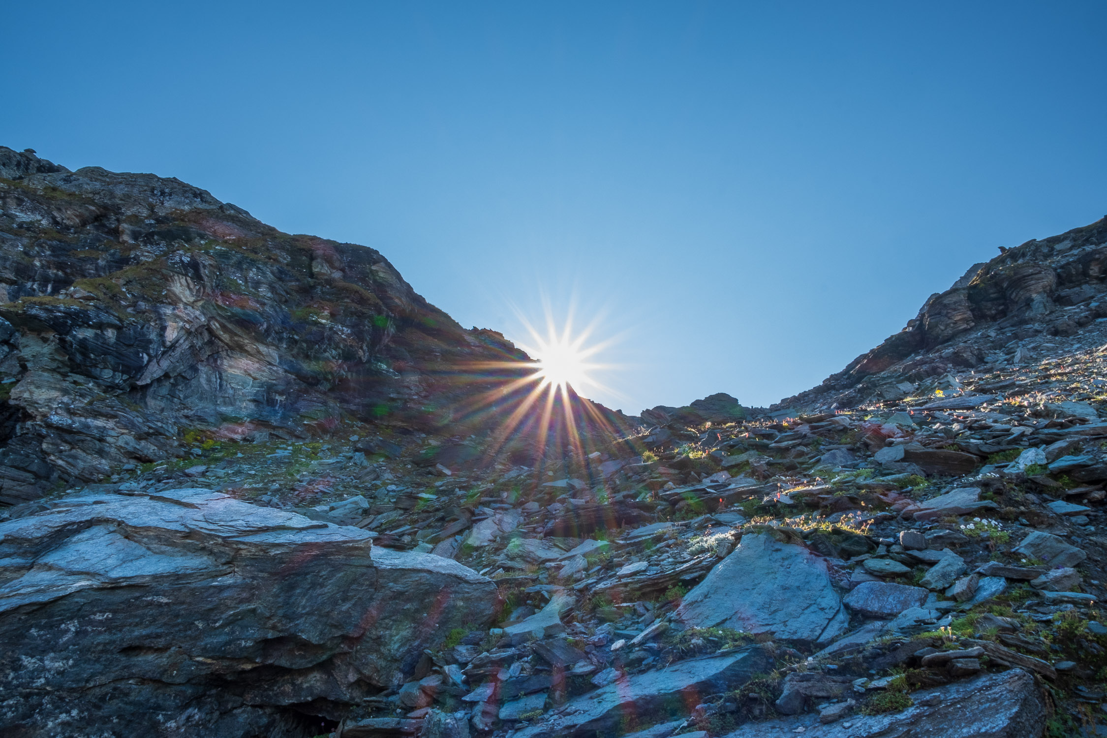
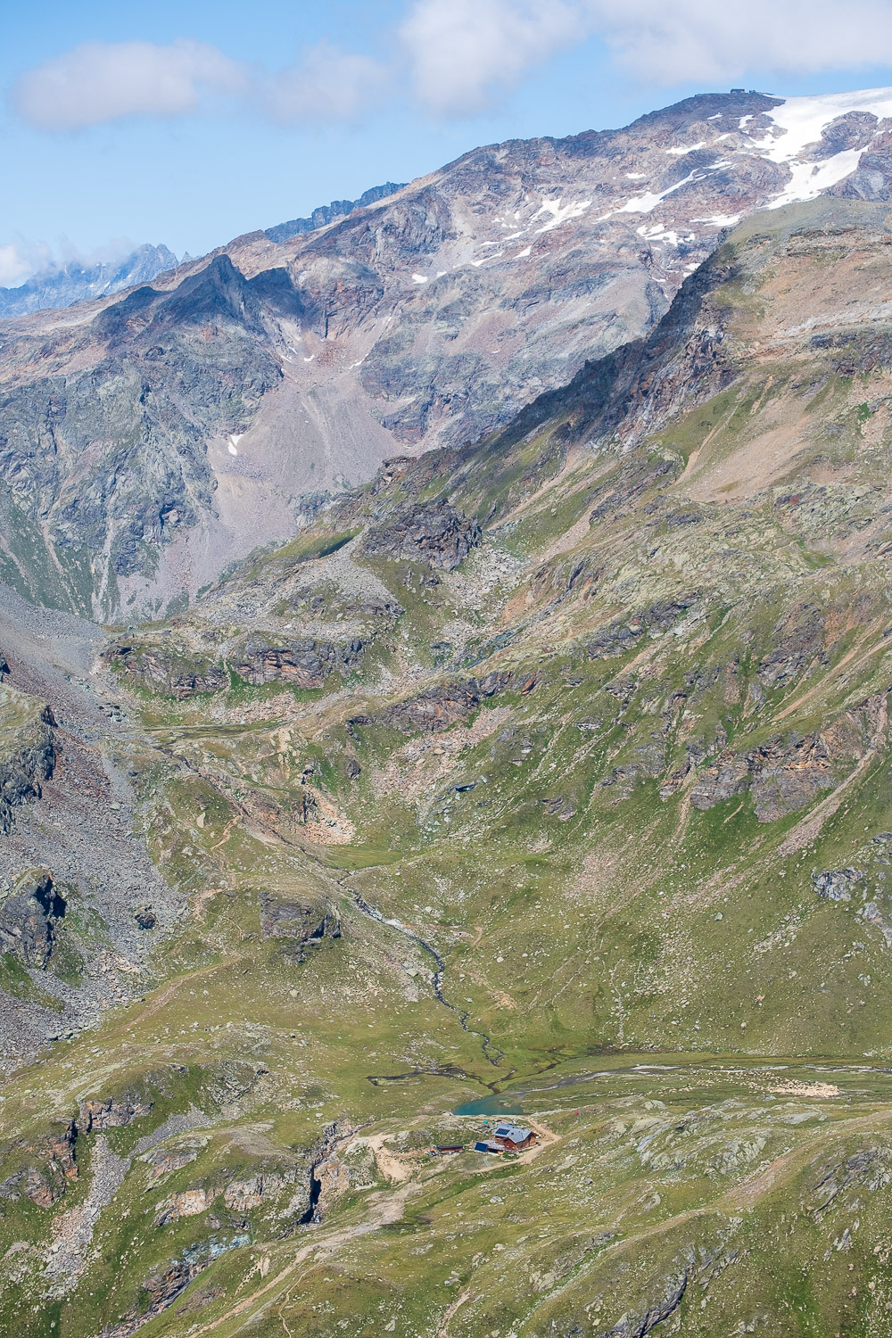
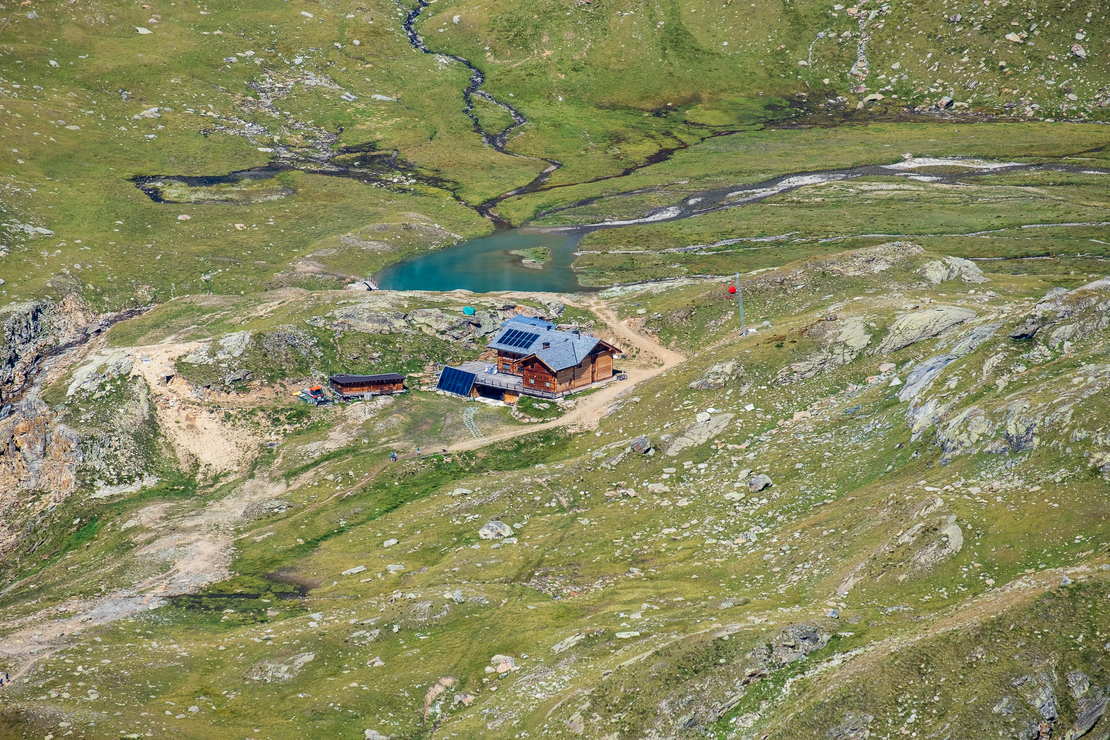
Trail 4A starts at the Gabiet refuge (2,364 m) and ends at Zube pass (2,871 m). It is 2,783 meters long, and the total elevation gain is 506 meters.
The estimated time for the hike is 1 hour and 32 minutes. The trail is rated as difficulty level E (warning: please read the note below).
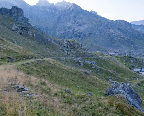
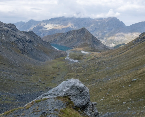
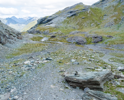
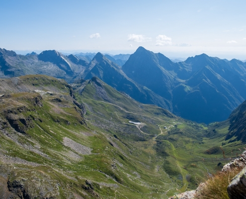
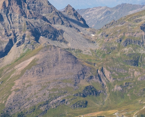
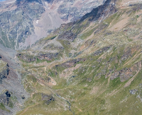
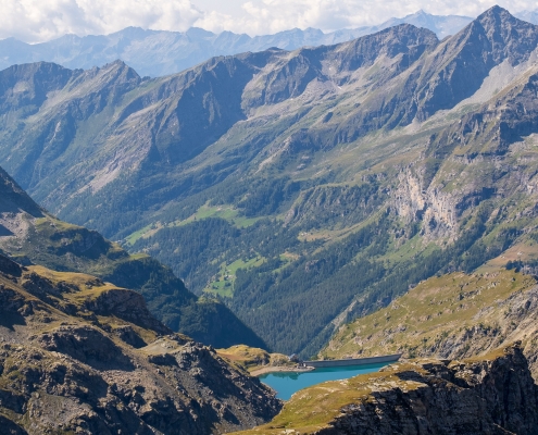
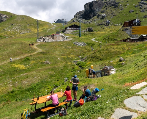
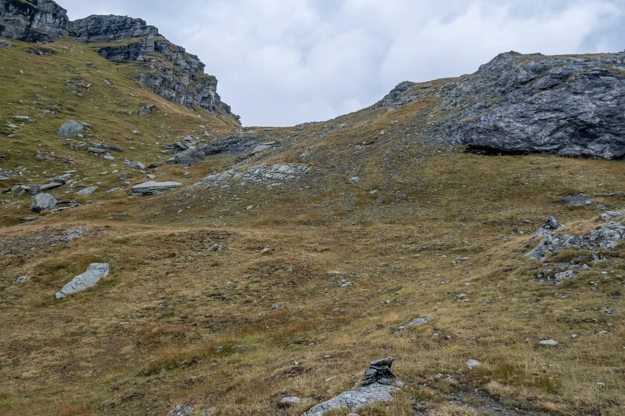
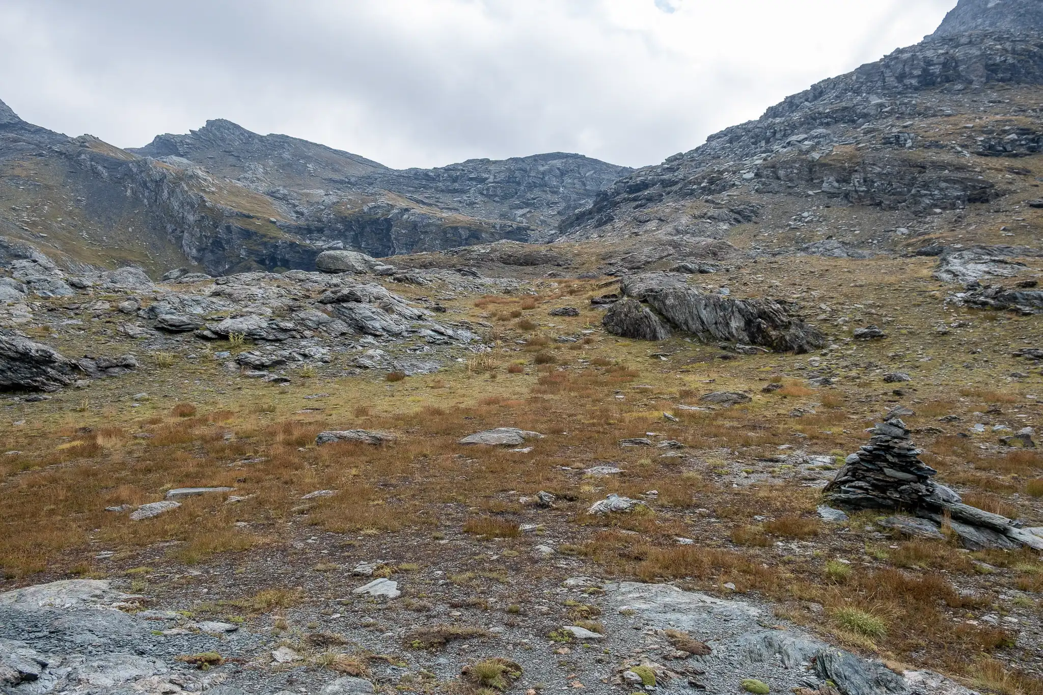
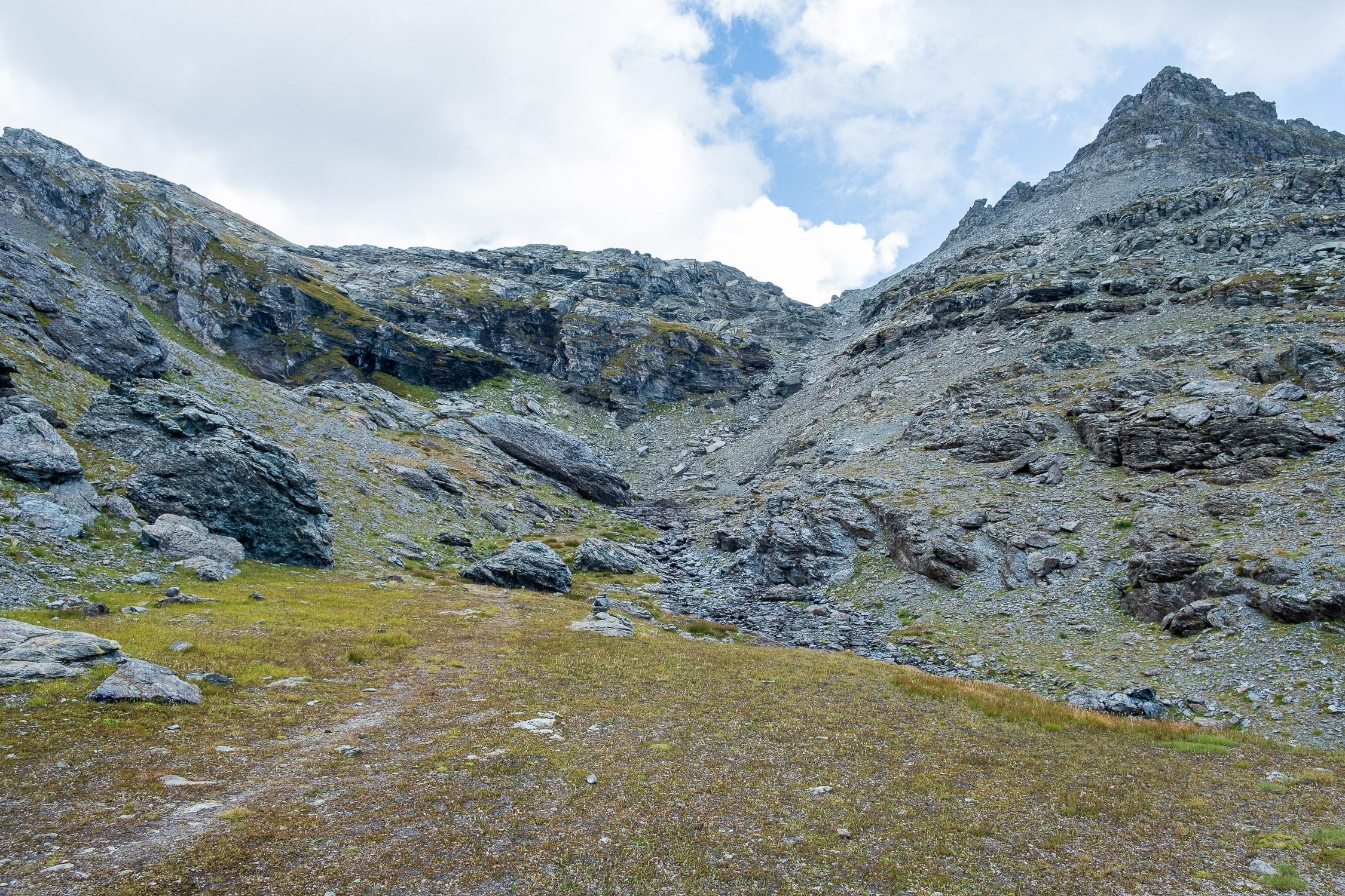
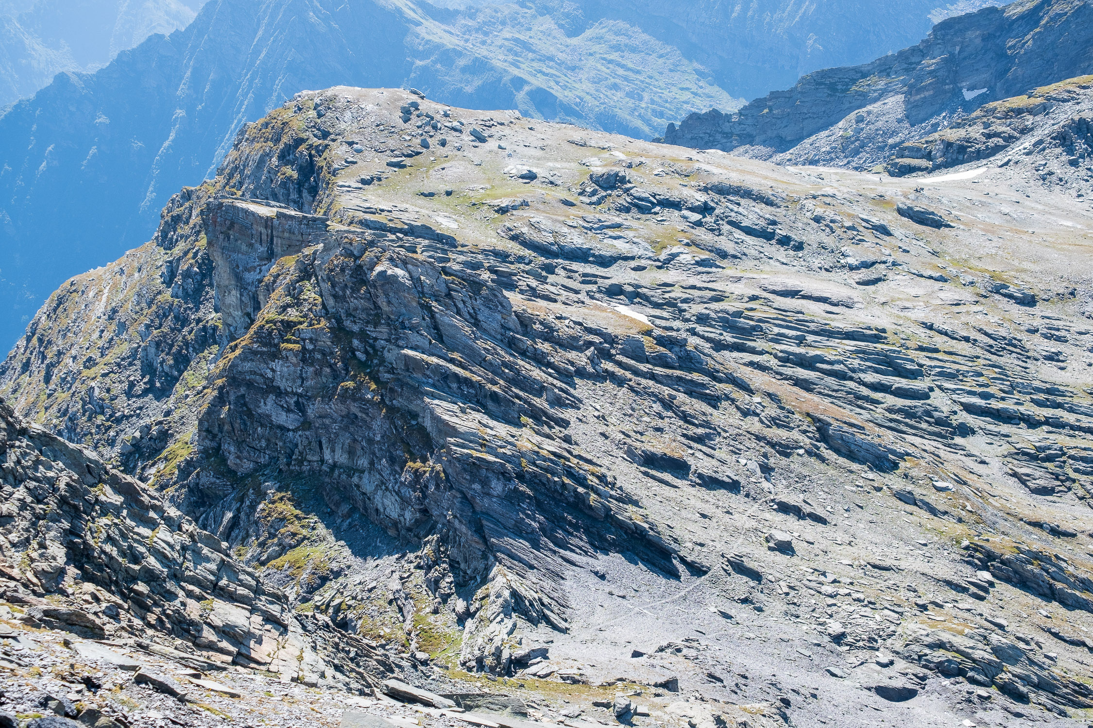
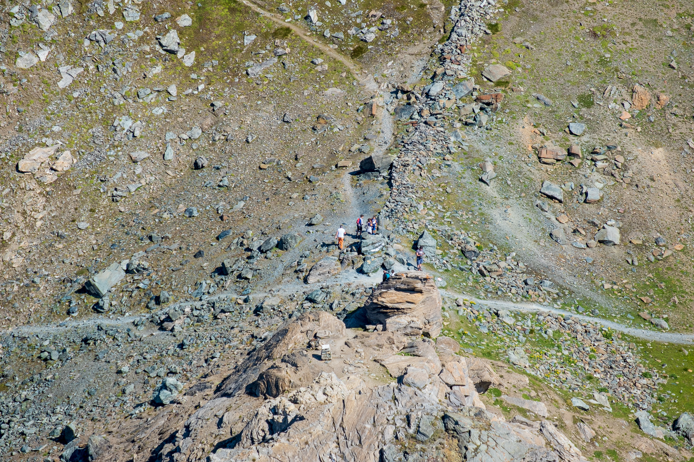
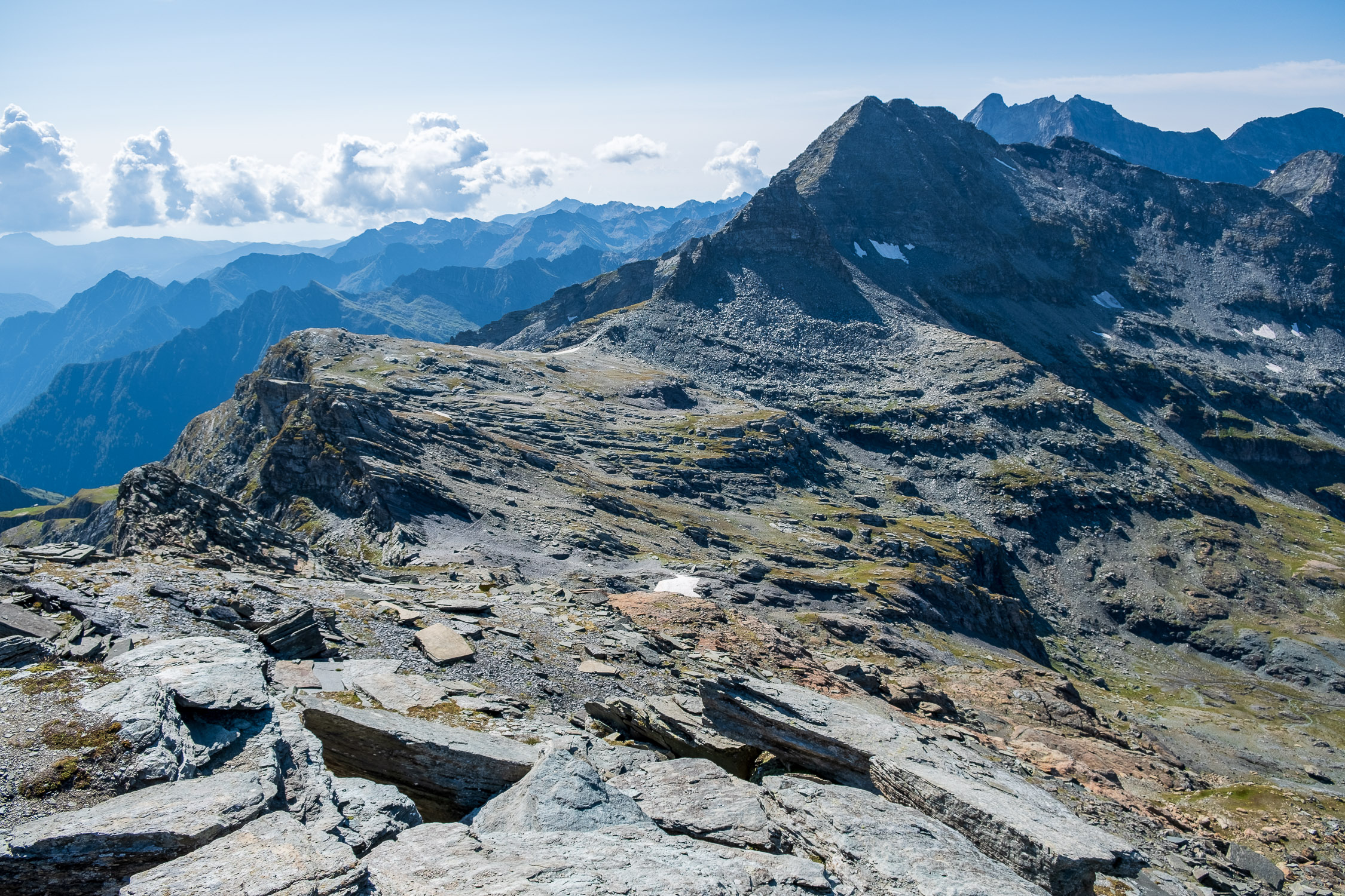
The Zube pass is located at the end of the first small valley that opens up on the right (east-southeast) as you ascend from Gabiet, before reaching Olen pass.
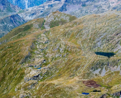
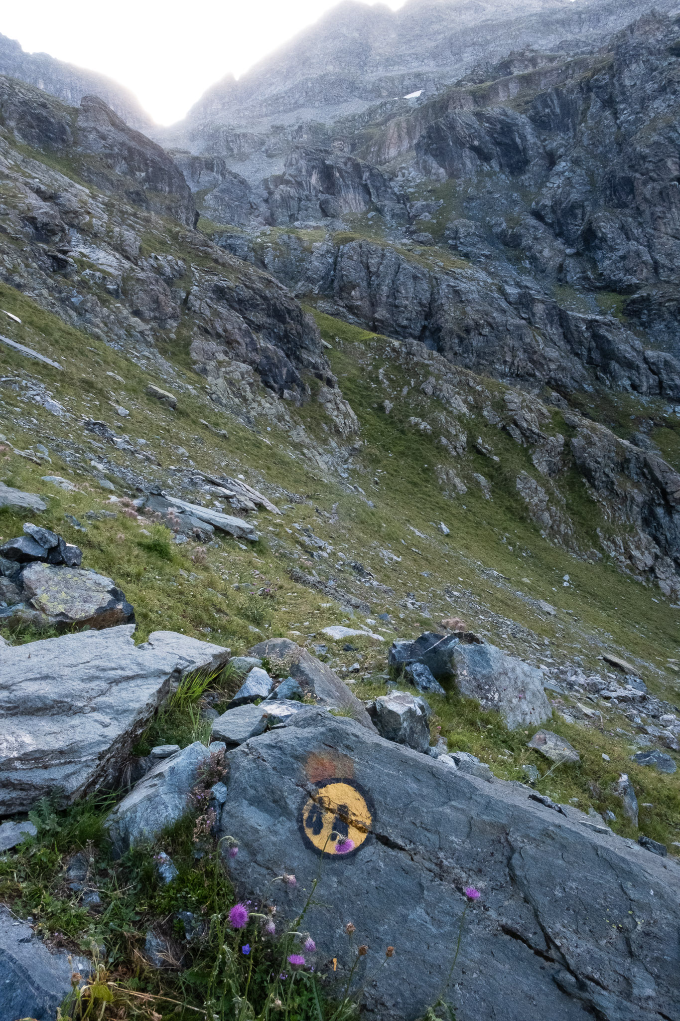
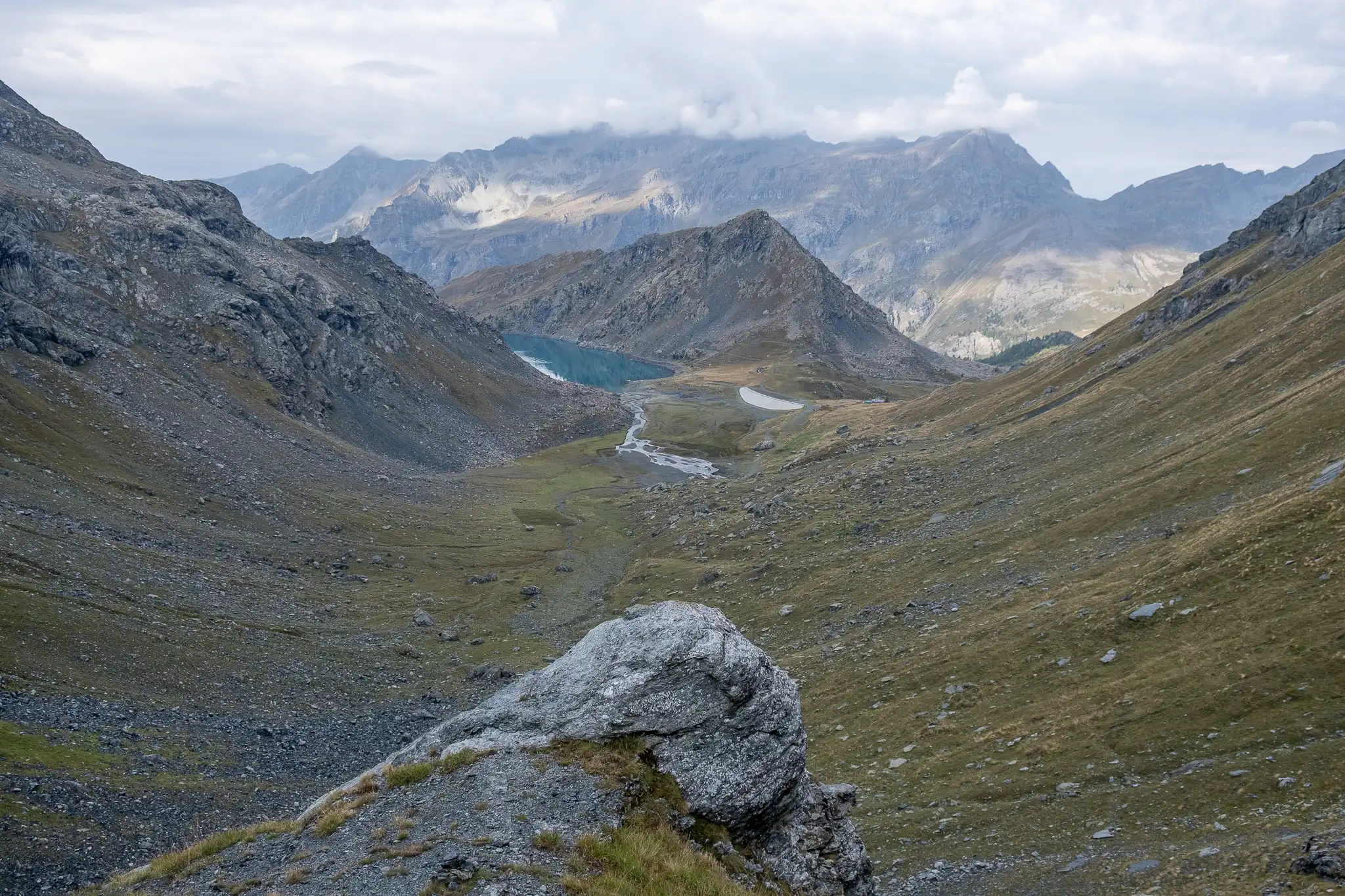
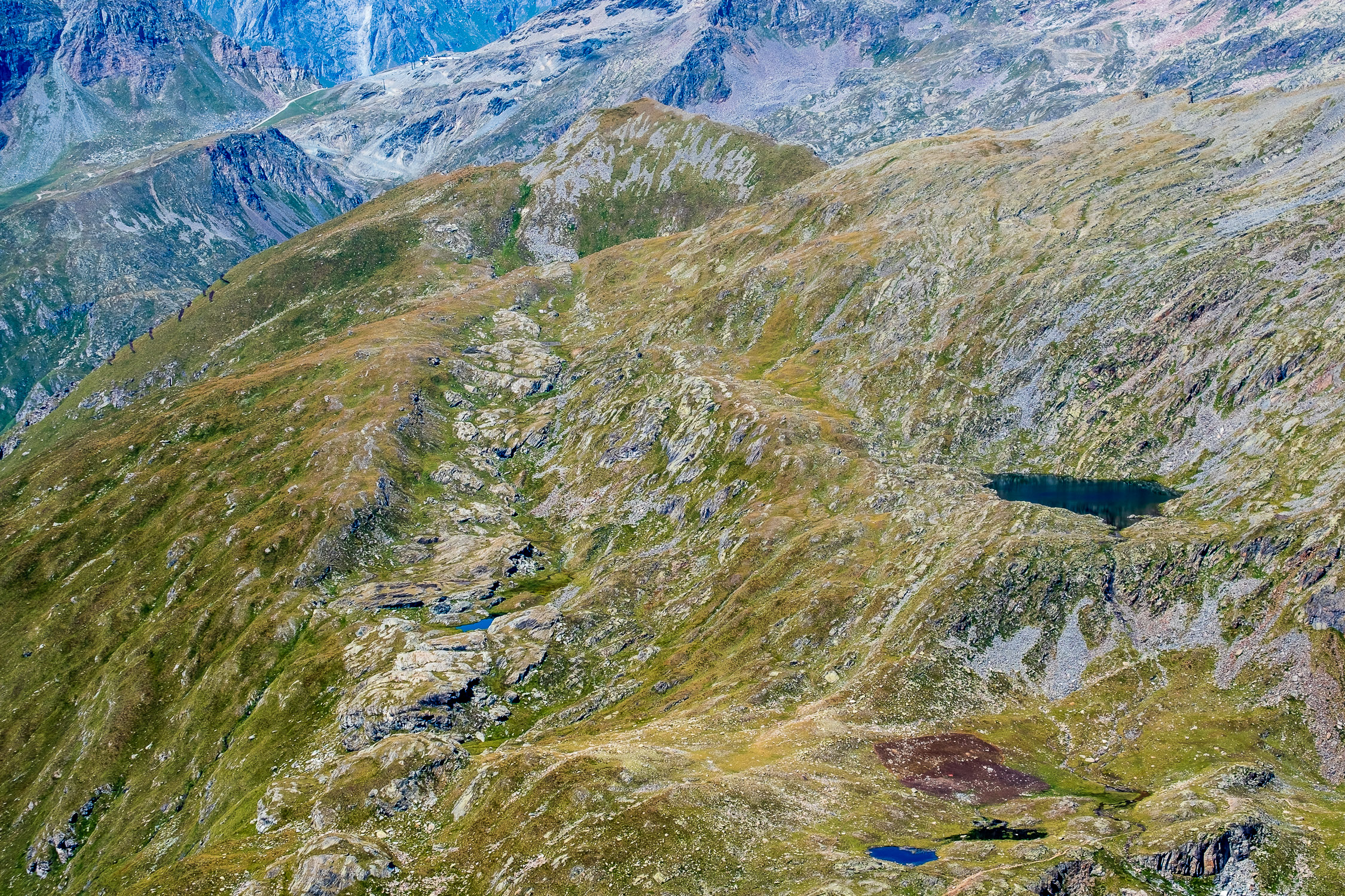
This trail is a variation of TRAIL 4B and became part of Gressoney hikes in 2026. Trail 4B reaches the Zube pass from the west, after following a section of TRAIL 6 that climbs to the Olen pass; Trail 4A, on the other hand, reaches it from the south, running alongside Lake Gabiet for a short stretch at the beginning.
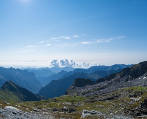
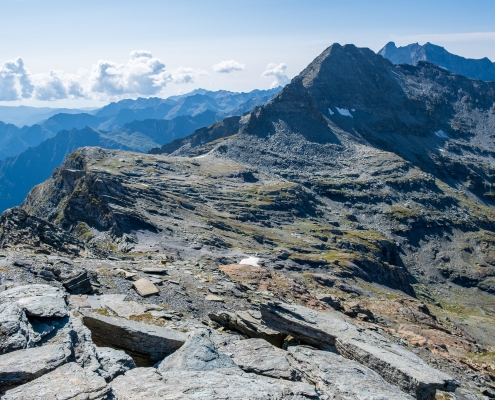
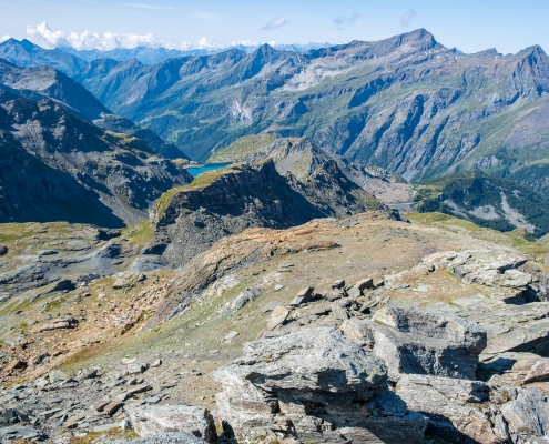
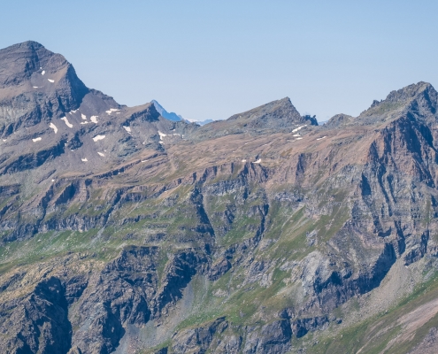
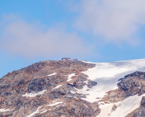
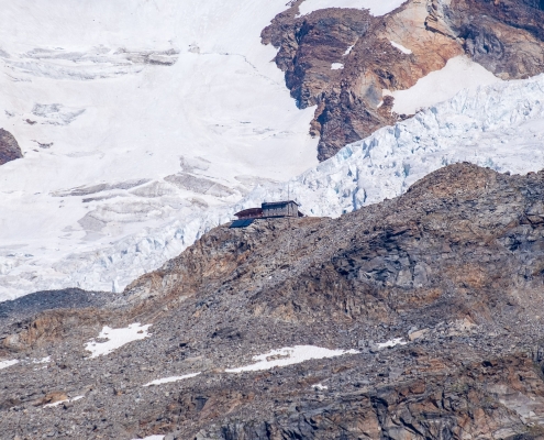
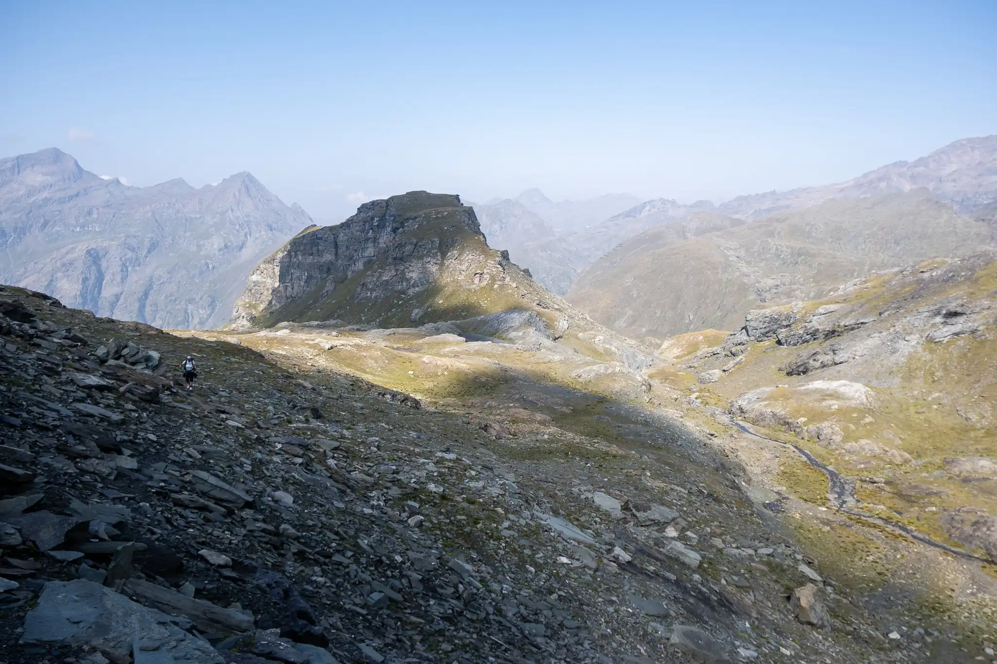
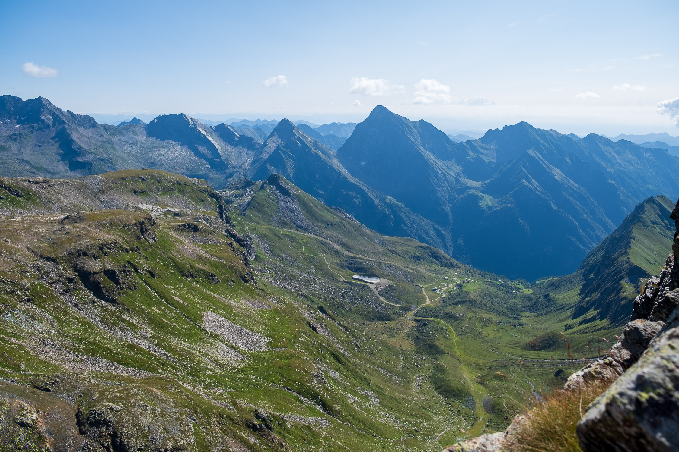
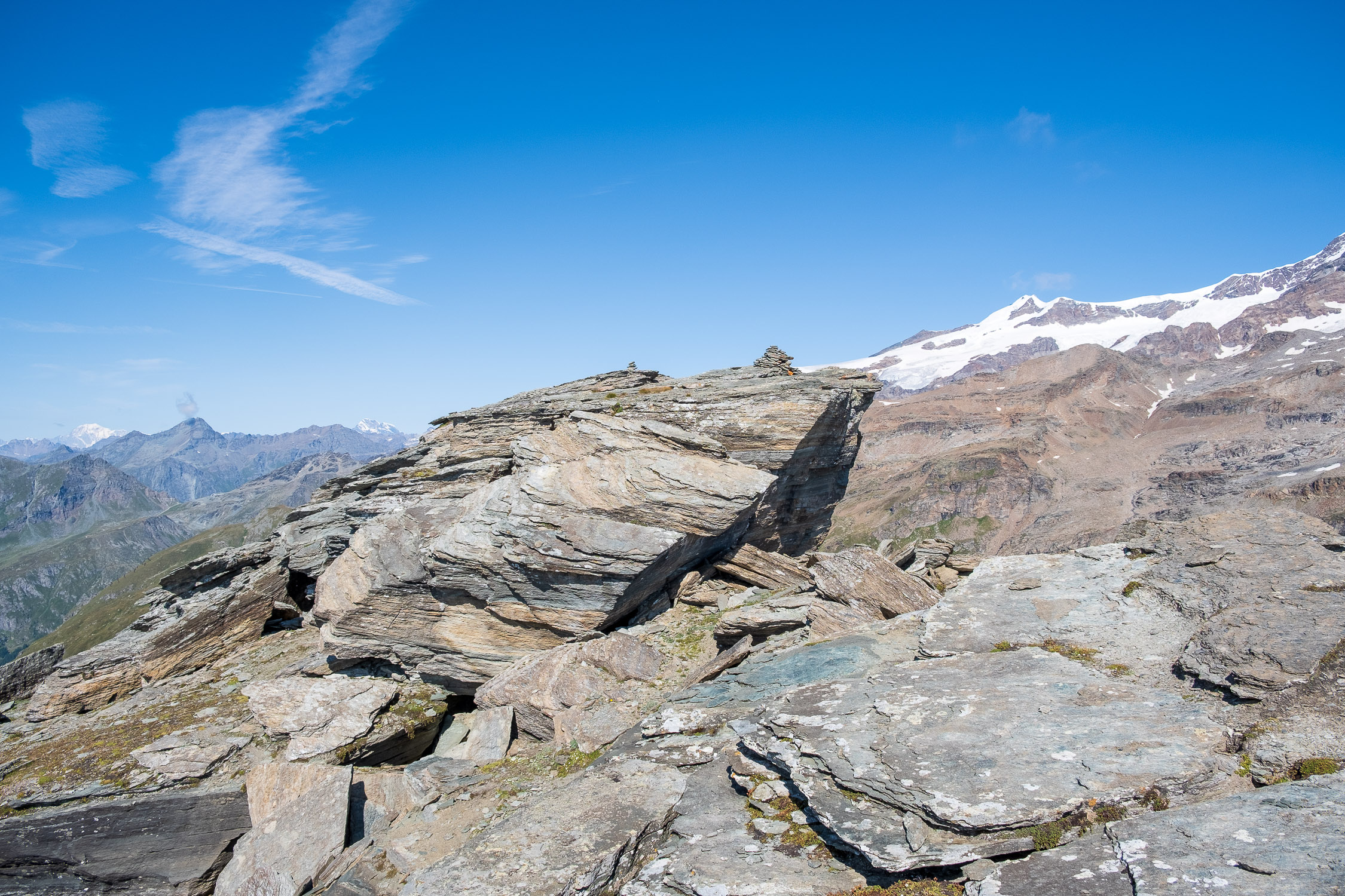
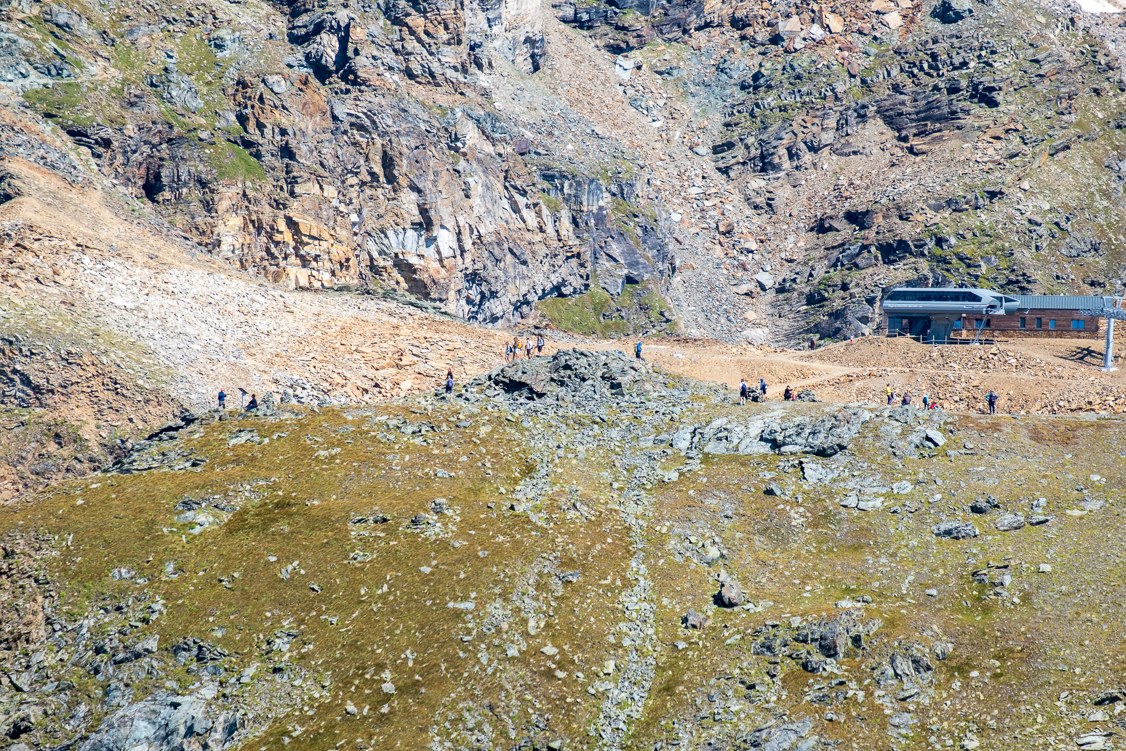
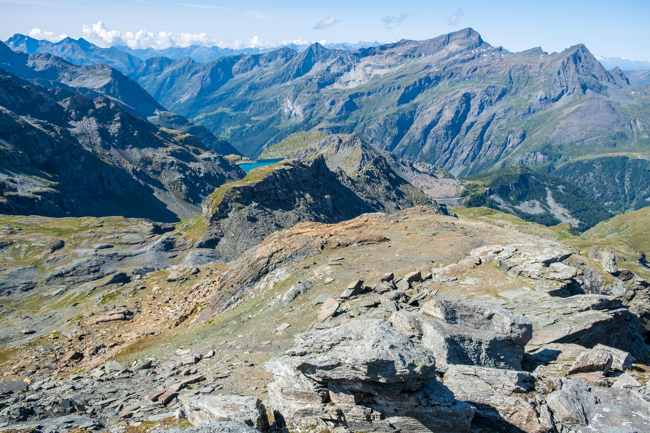
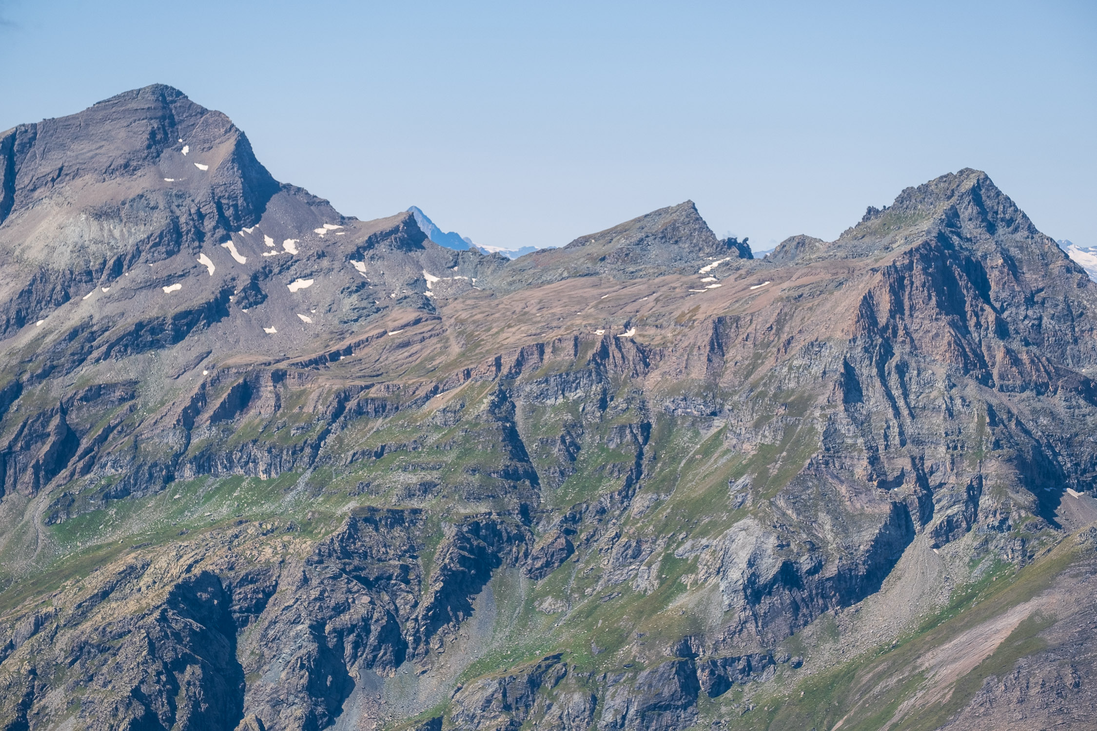
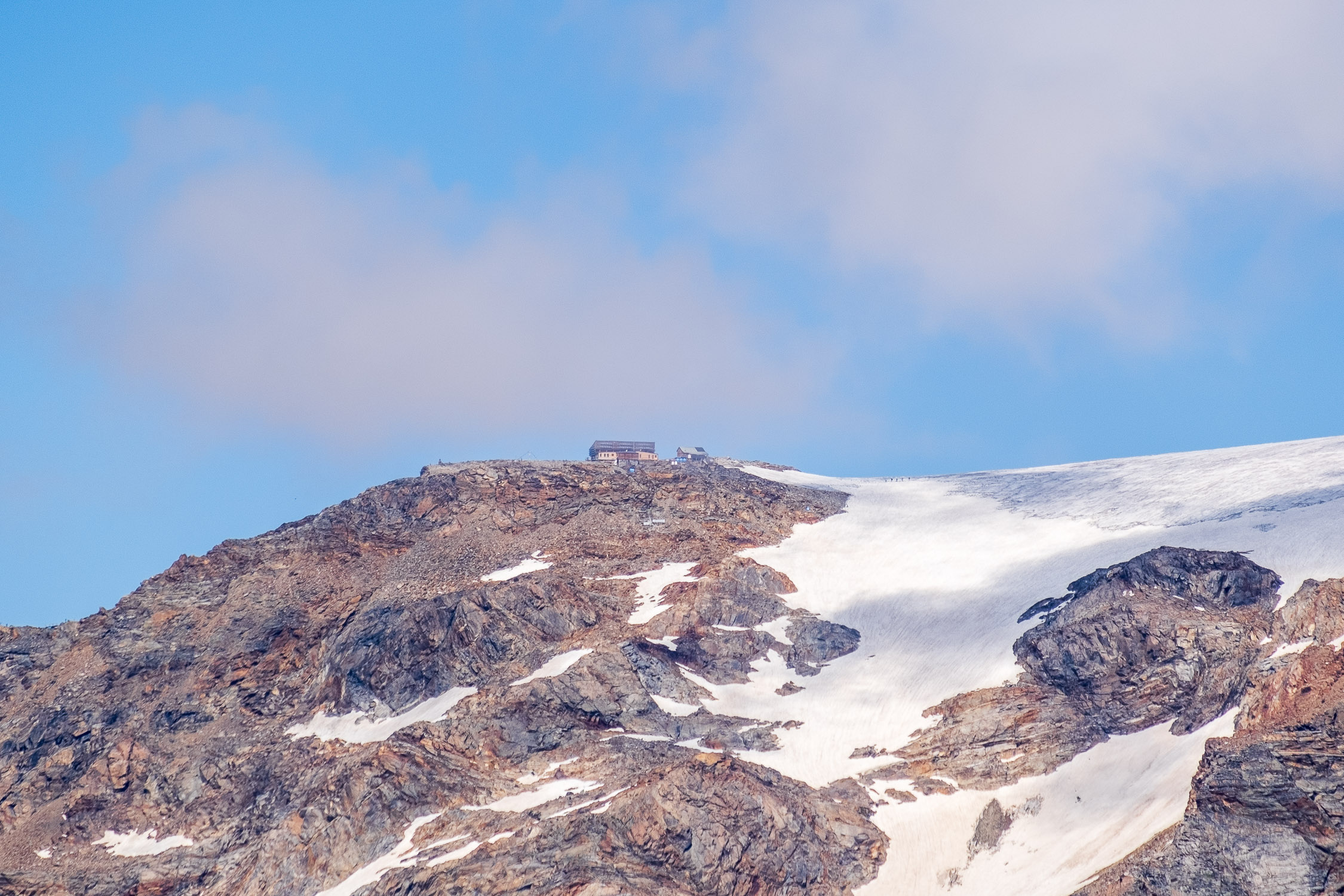
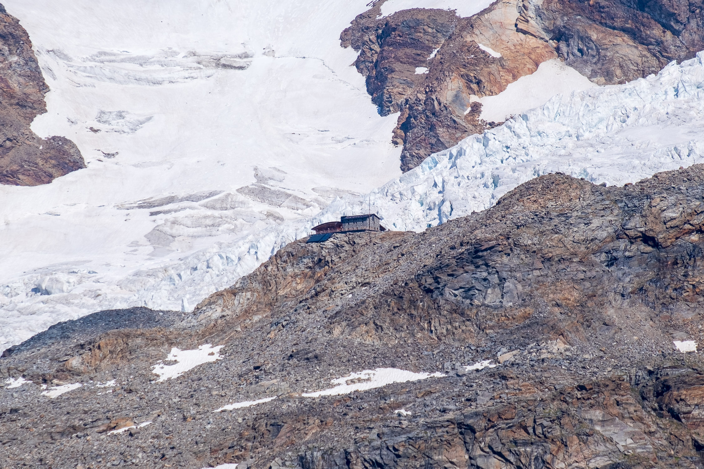
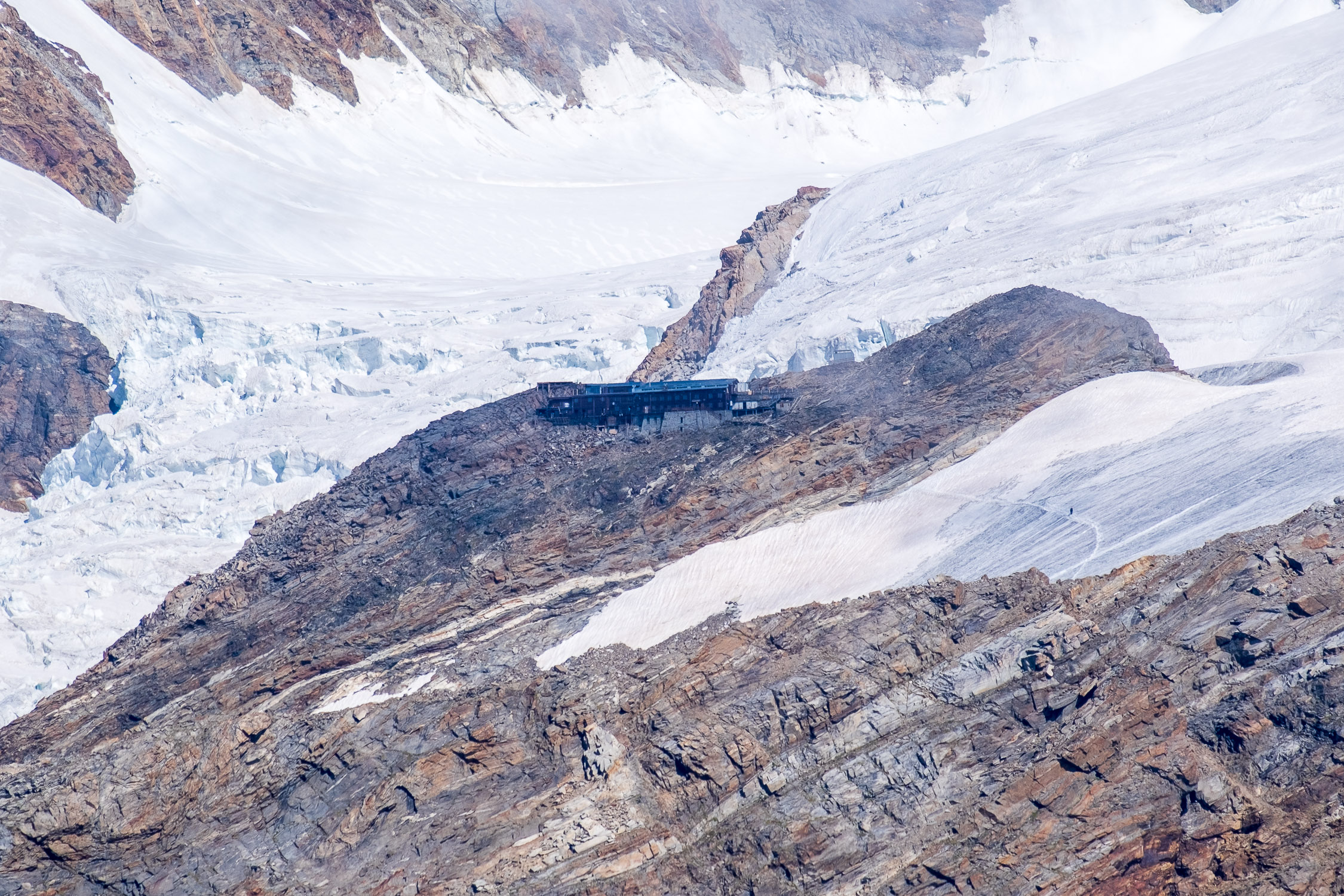
Zube Pass and Col d’Olen are separated by the Corno Rosso/Rothòre, 3023m, a fun summit that can be reached directly from Zube Pass by following vague trail markers and cairns. The view from the Corno Rosso is spectacular, in addition to being in the front row on the Vincent Pyramid and the surrounding 4000-meter peaks, many notable points in this area of the upper valley are clearly visible: Blue Lake, Punta Telcio, Alta Luce, Colle Salza, Testa Grigia, Rothorn, the Quintino Sella huts, Città di Mantova, Capanna Gnifetti, and so on.
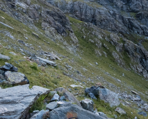
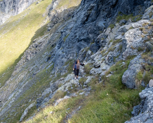
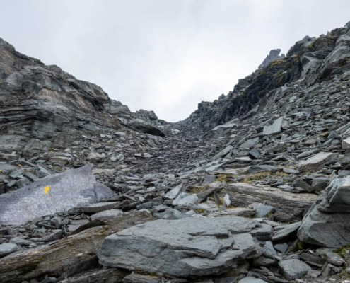
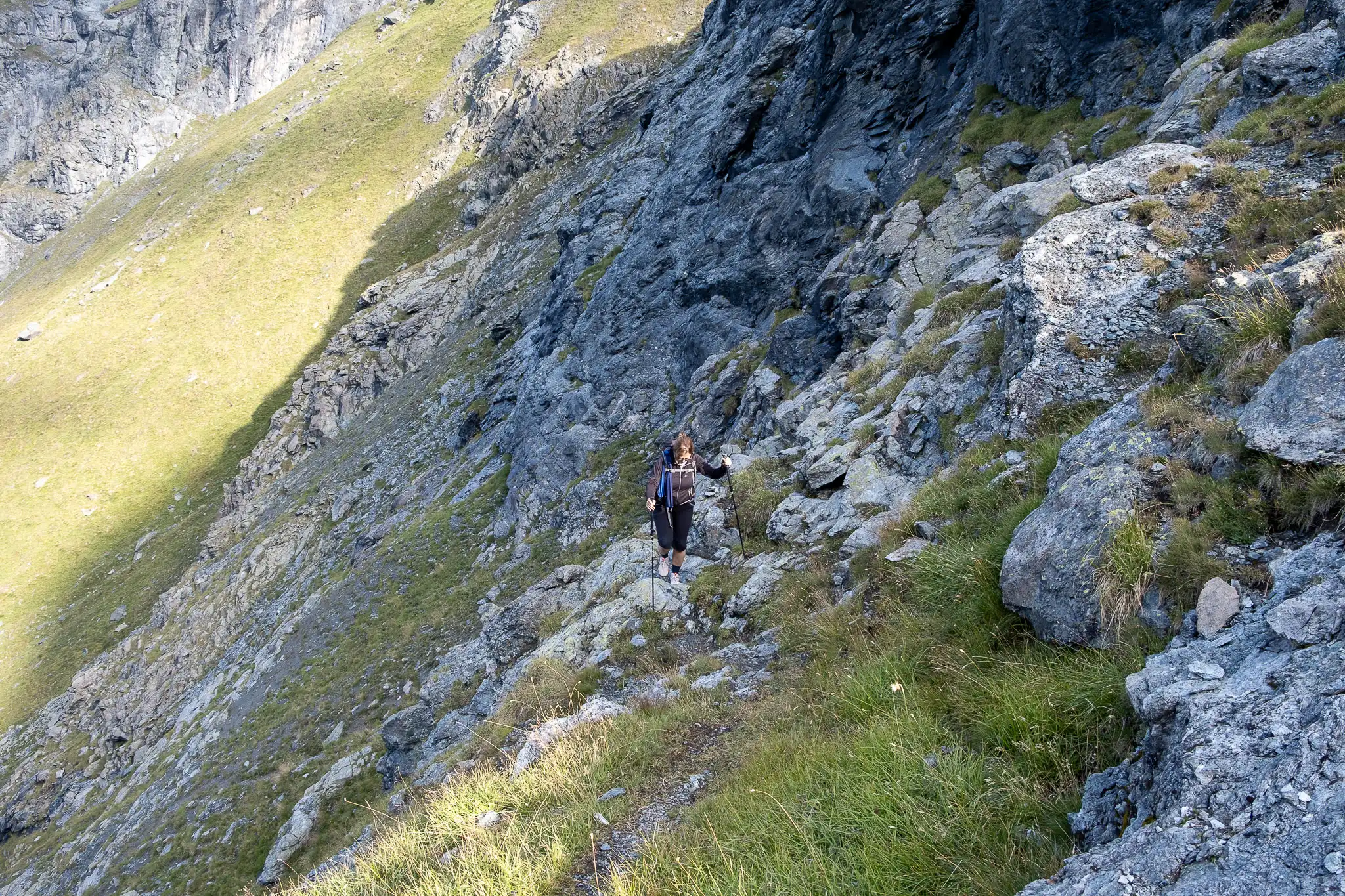
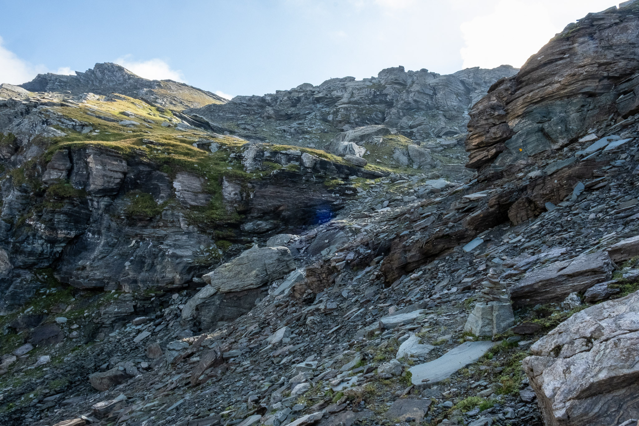
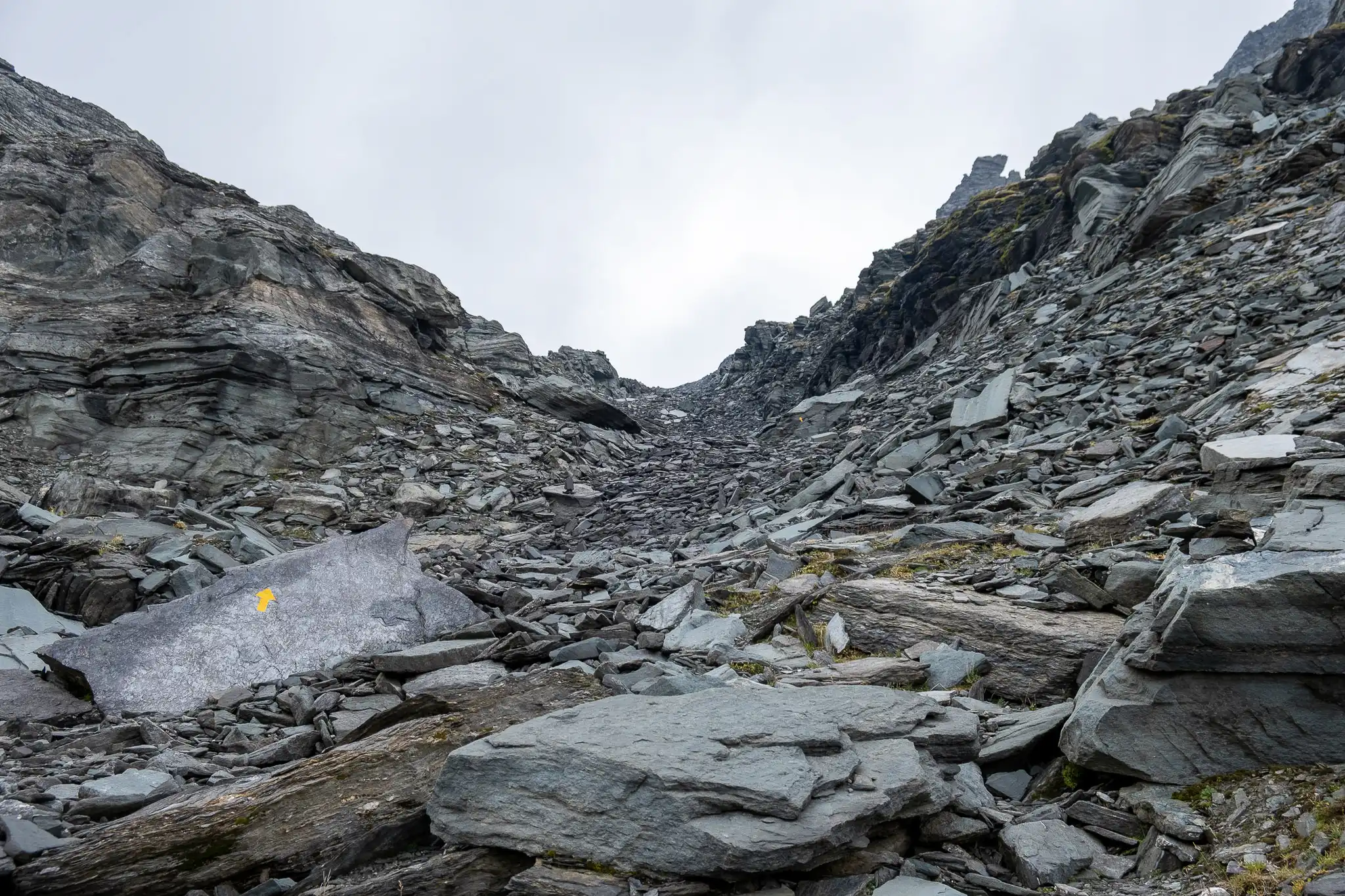
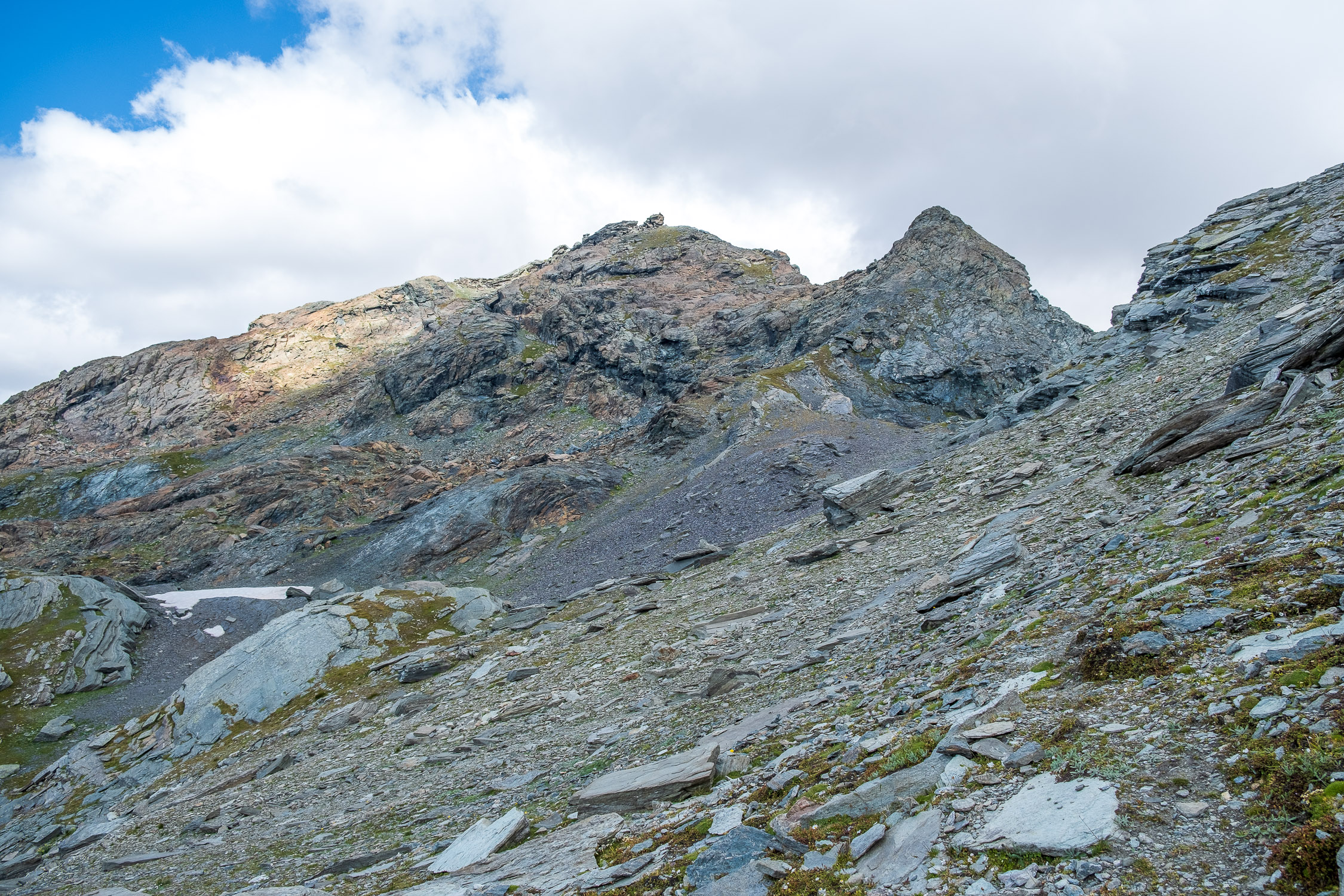
- Note: This trail has been officially rated “E,” but there are a couple of sections on steep, rocky terrain rated “EE.” This trail is not suitable for children and/or people who prefer trails with no technical difficulty.
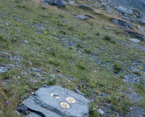
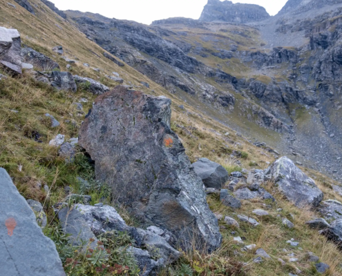
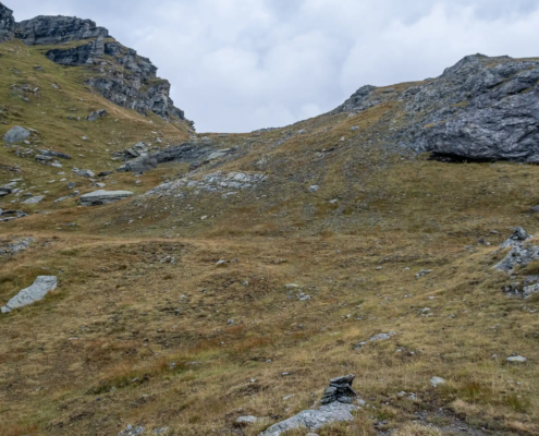
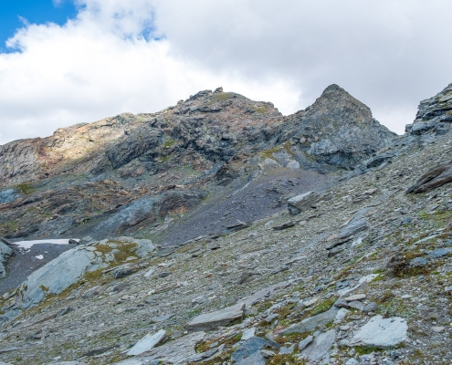
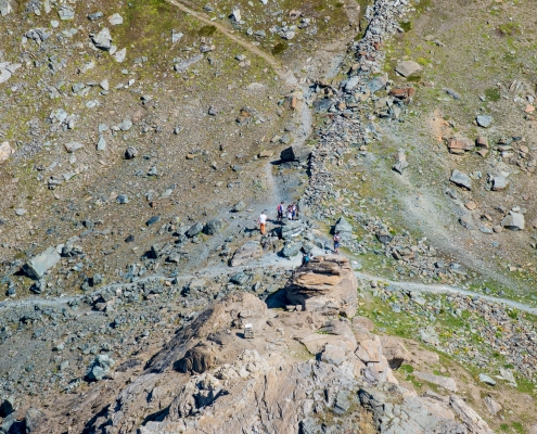
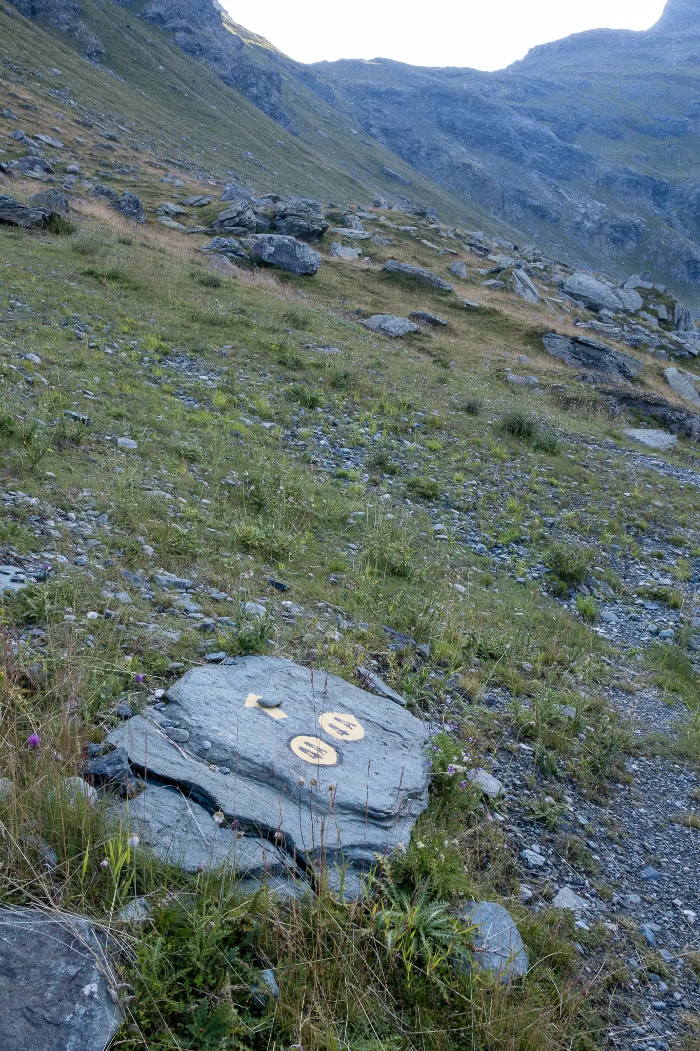
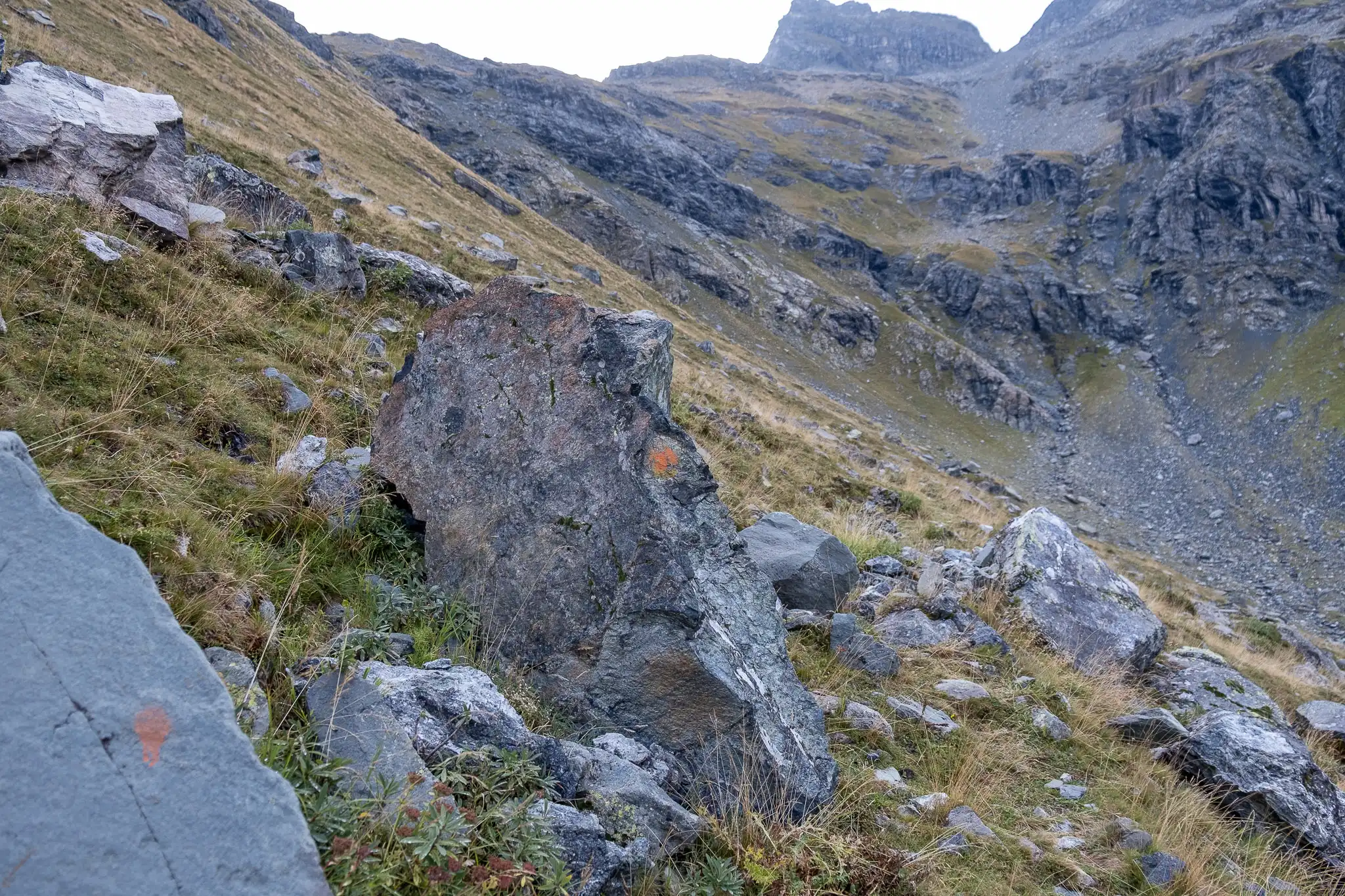
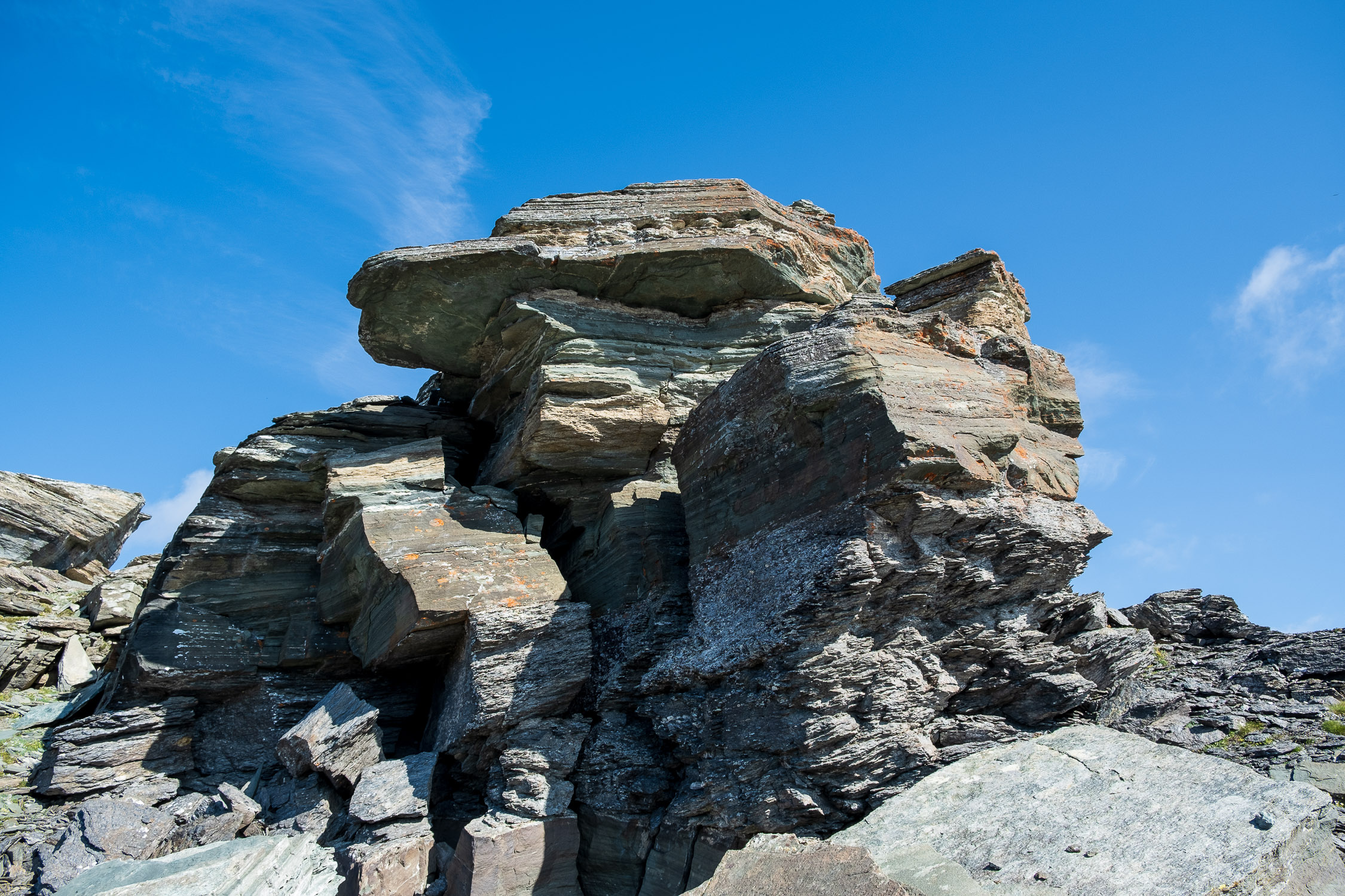
If you want to continue from Zube pass to Corno Rosso, since there is no continuously marked trail, you need to know how to “read the terrain” and find the path indicated by cairns and markers scattered across the rocks. The only technical difficulty is at the very end, as the summit is on a group of flat rocks over which you have to climb.
A curiosity: in the Walser language, “zubio” means “pee,” and it appears that the place name refers to the presence of numerous waterfalls in the area (from Wikipedia).