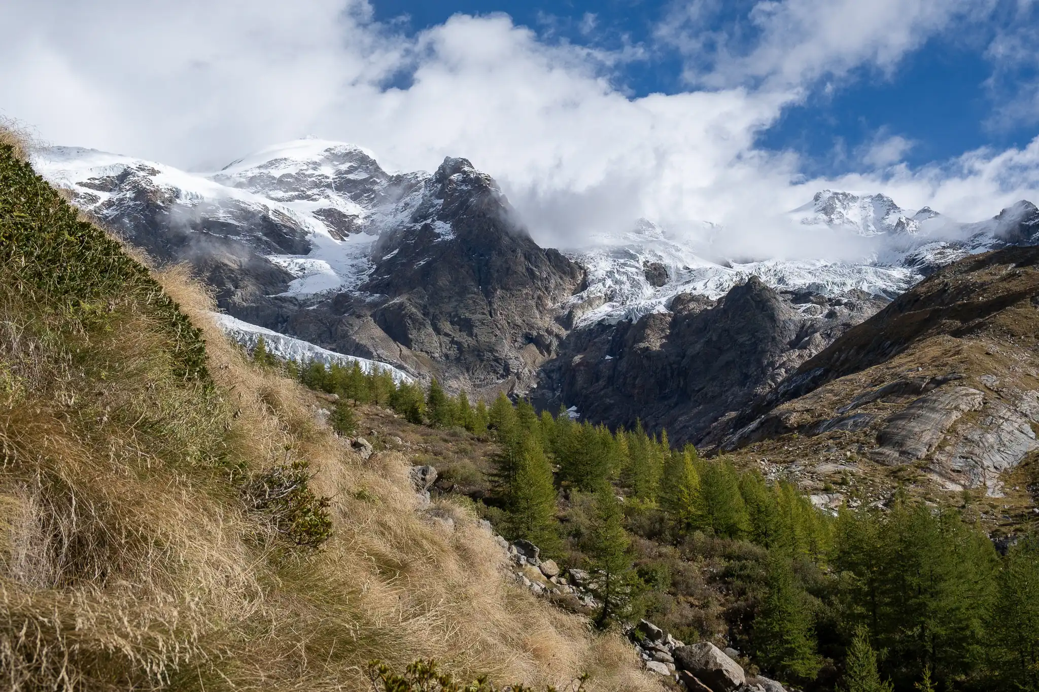
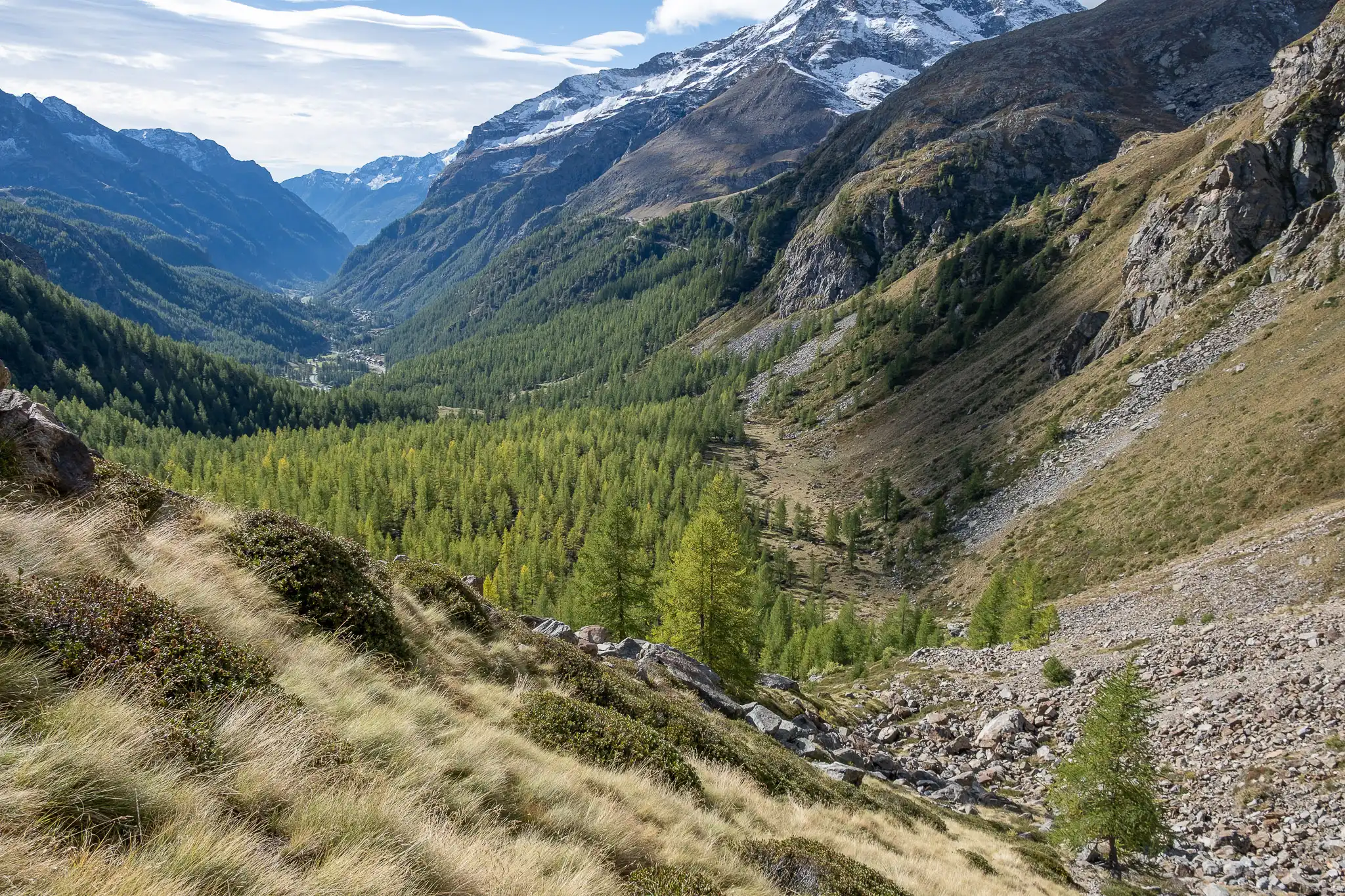
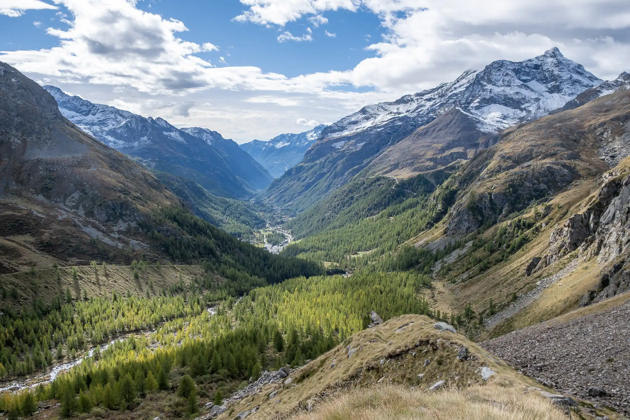
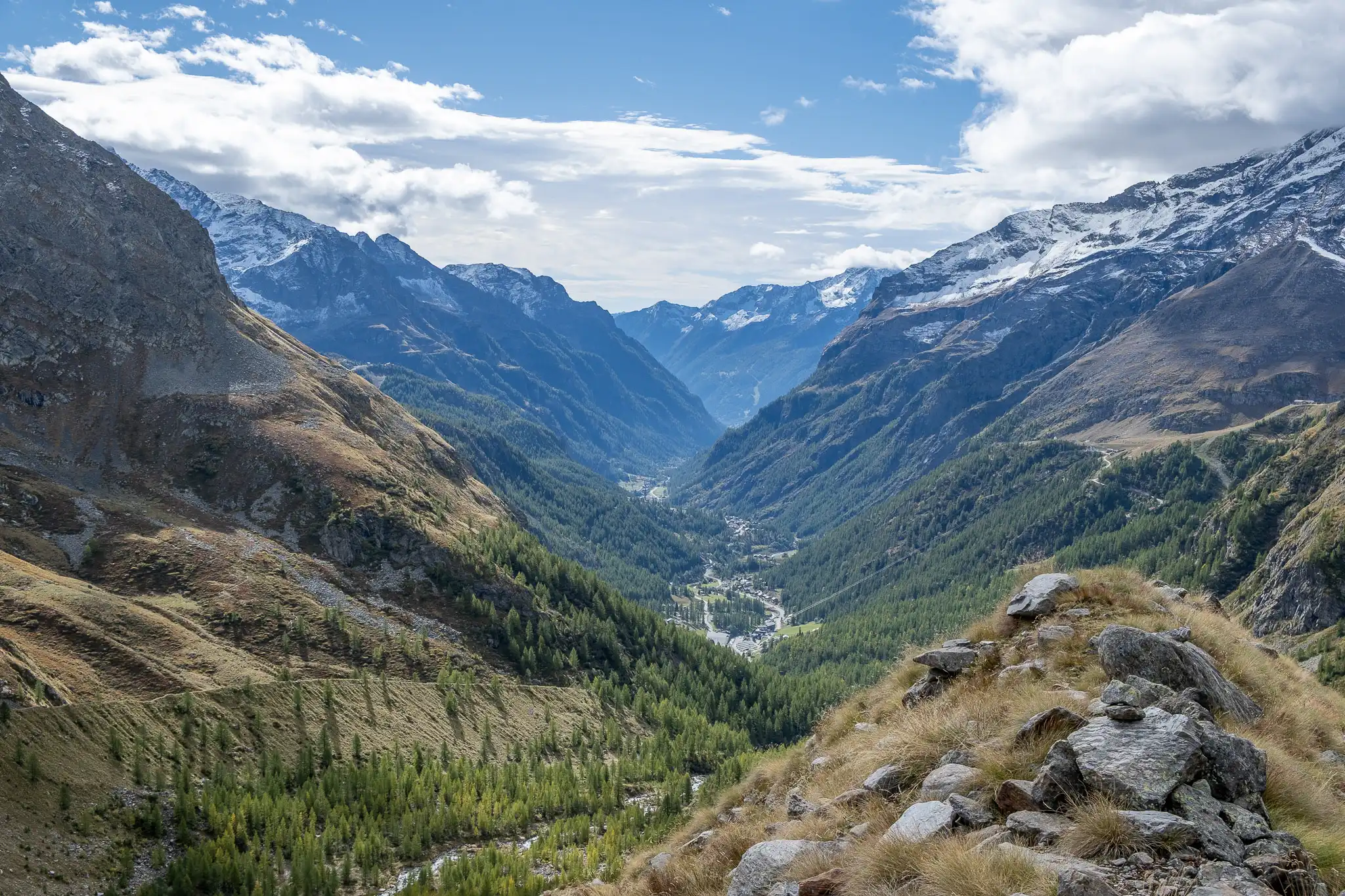
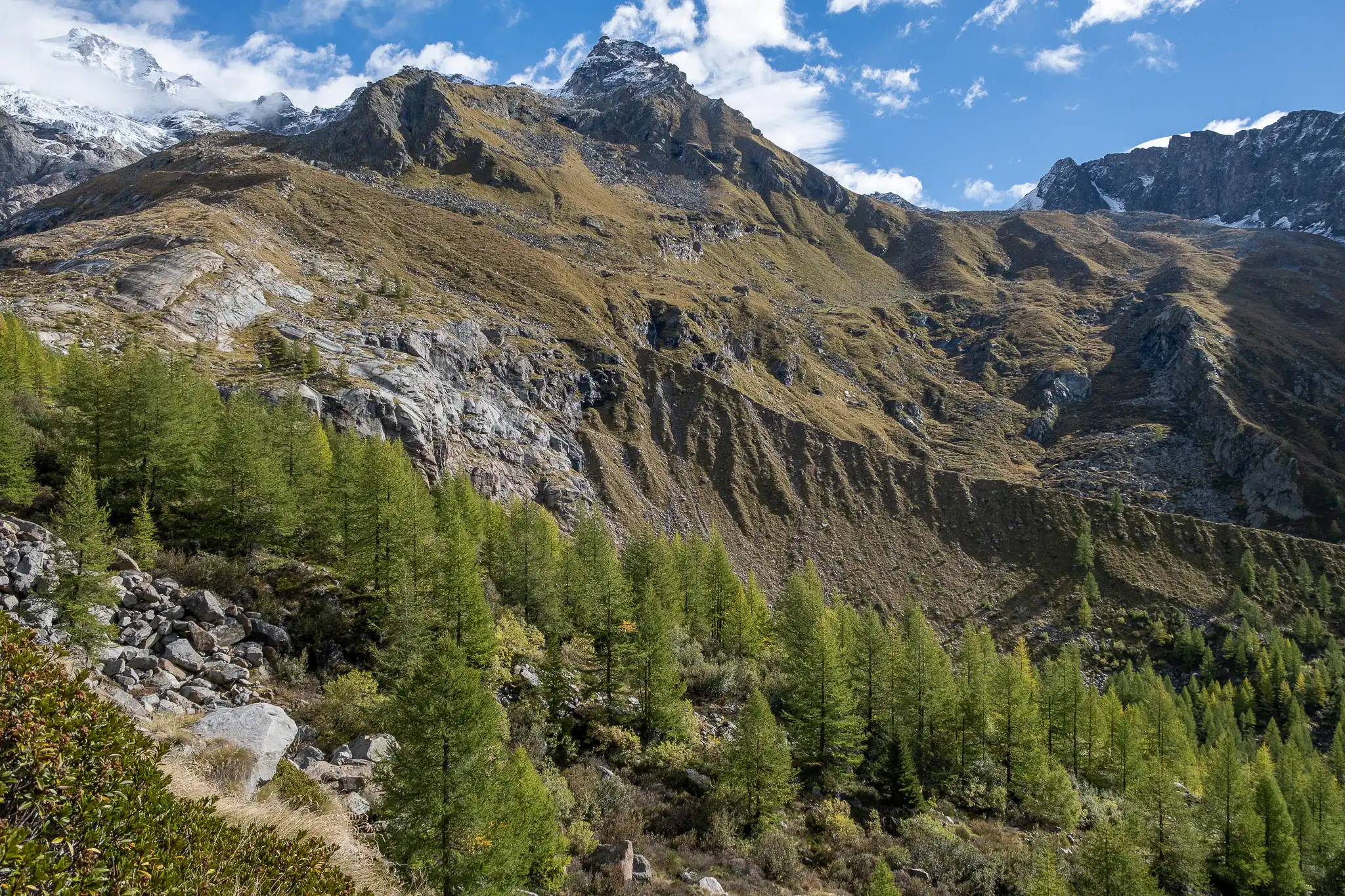
After leaving your car in the huge Stafal parking lot, continue along the road until you reach the last bridge over the Lys.
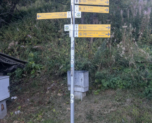
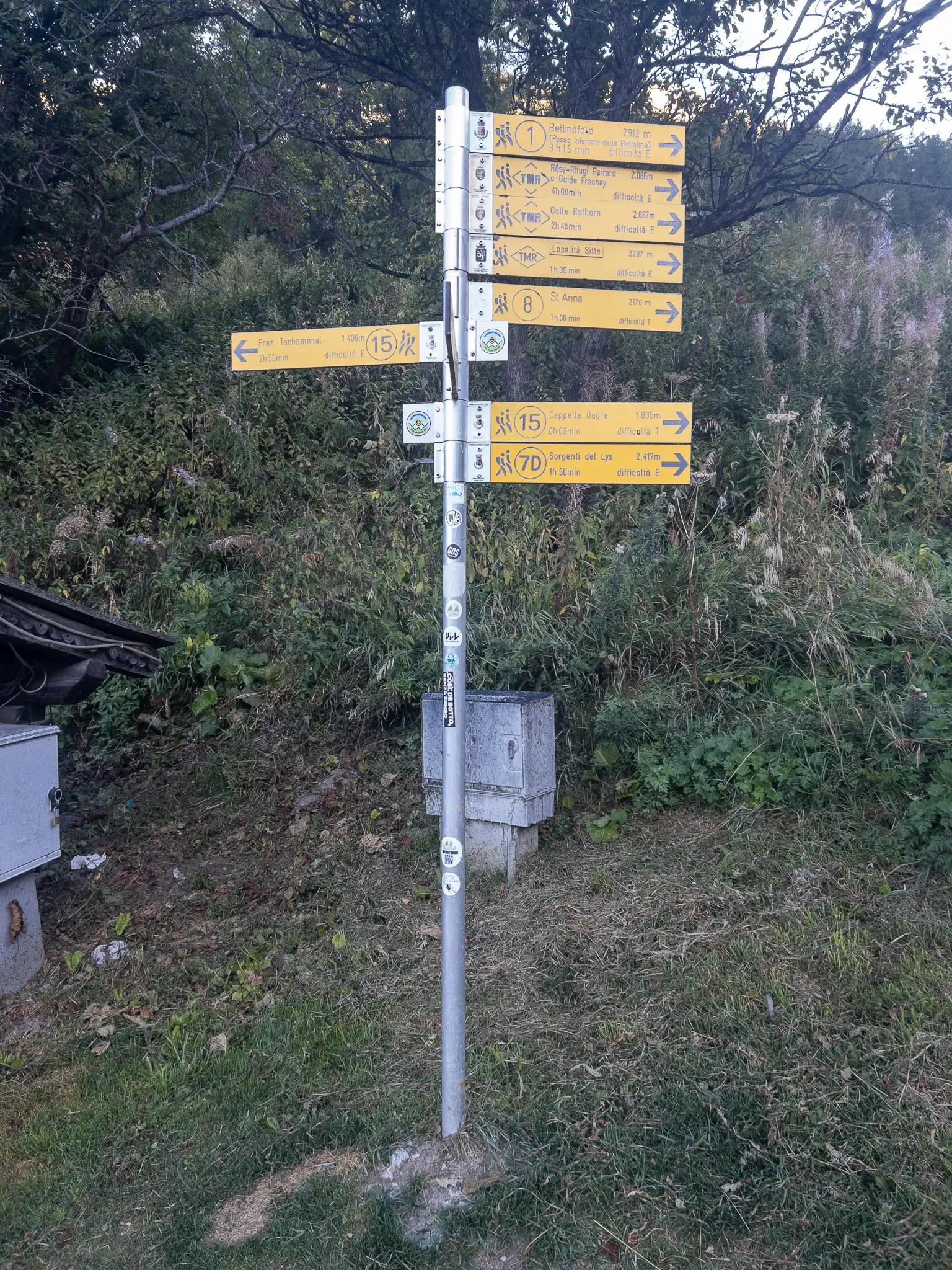
The waymarks at the start of the trail
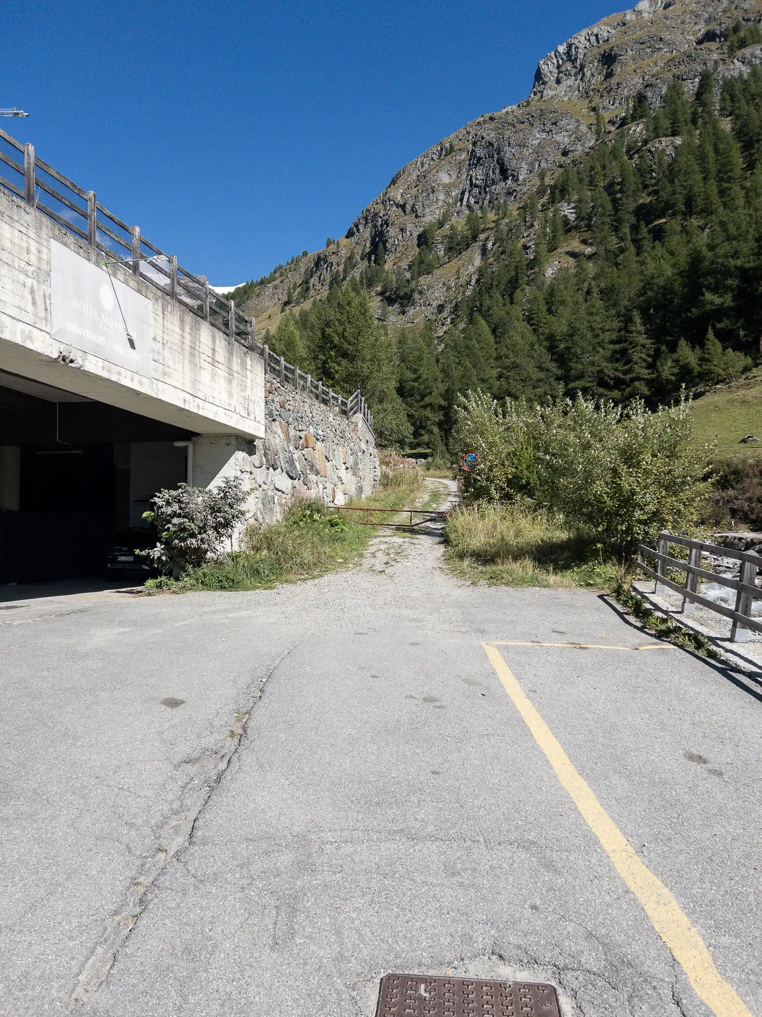
Take the road to the left of the river and continue to the end. Next to the Momboso Hotel parking lot, turn onto the dirt road (there may be a closed gate, but pedestrians are allowed to pass through to reach the trail).
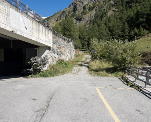
The start of the trail past the gate
Walk up to the fence where there is an abandoned playground; you’ll find the waymark on the left. The trail runs along the same route as Trail 1 until Ras Gaveno.
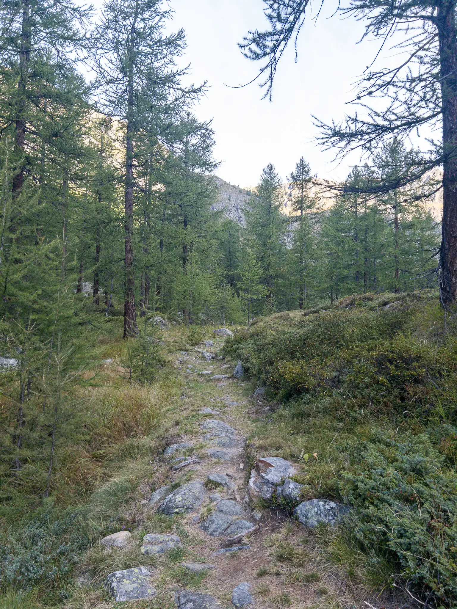
The trail climbs steeply right away through the woods, with tight turns. After passing a building that houses plumbing facilities, at 1,939 meters you come to the start of a long plateau that rises gently on a slight incline. This plateau, about 1 kilometer long, ends at the foot of the moraine, after climbing just 100 meters.
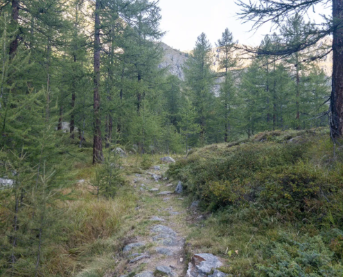
At the bottom of the first step
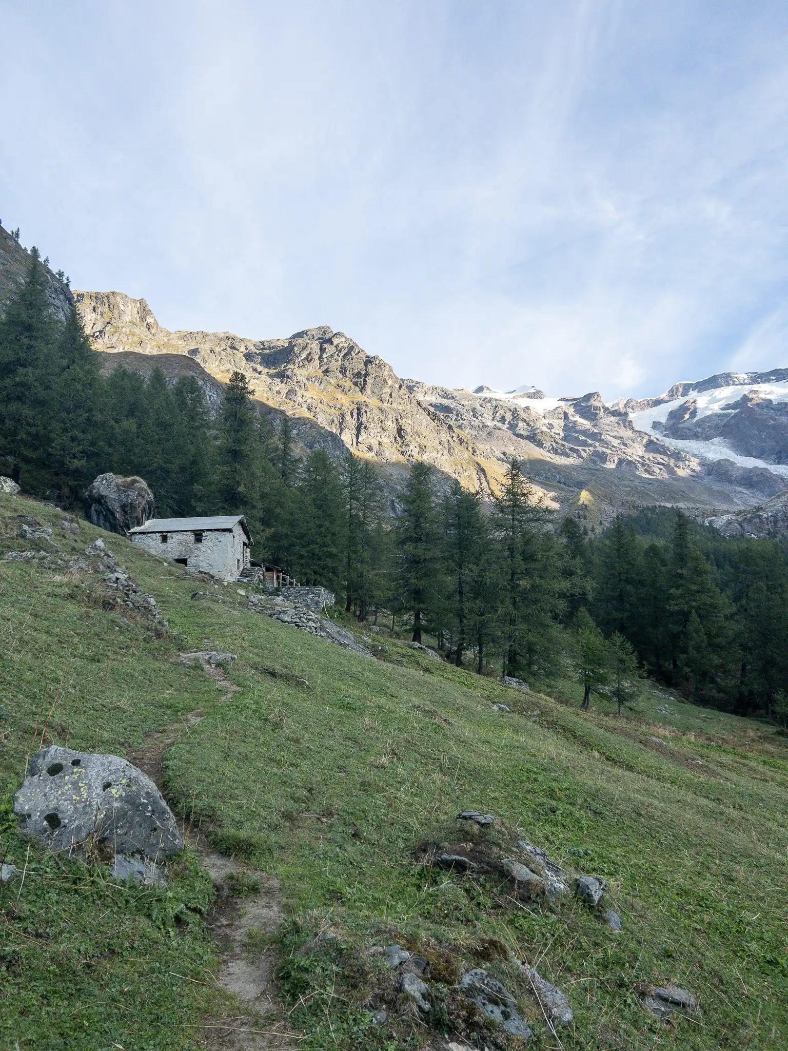
Follow the plateau through woods and clearings until you reach the Sécke cabin at 2,008 meters.
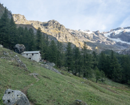
Sécke, 2,008 m
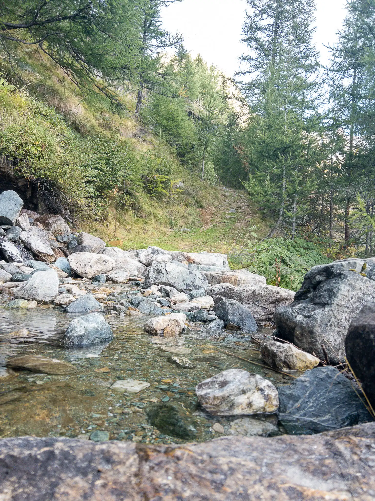
Walk past the cabin and continue on. We will cross the Betlinòbach stream .
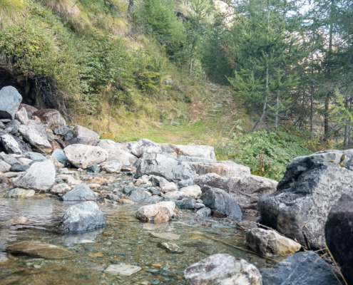
The Betlinòbach Stream
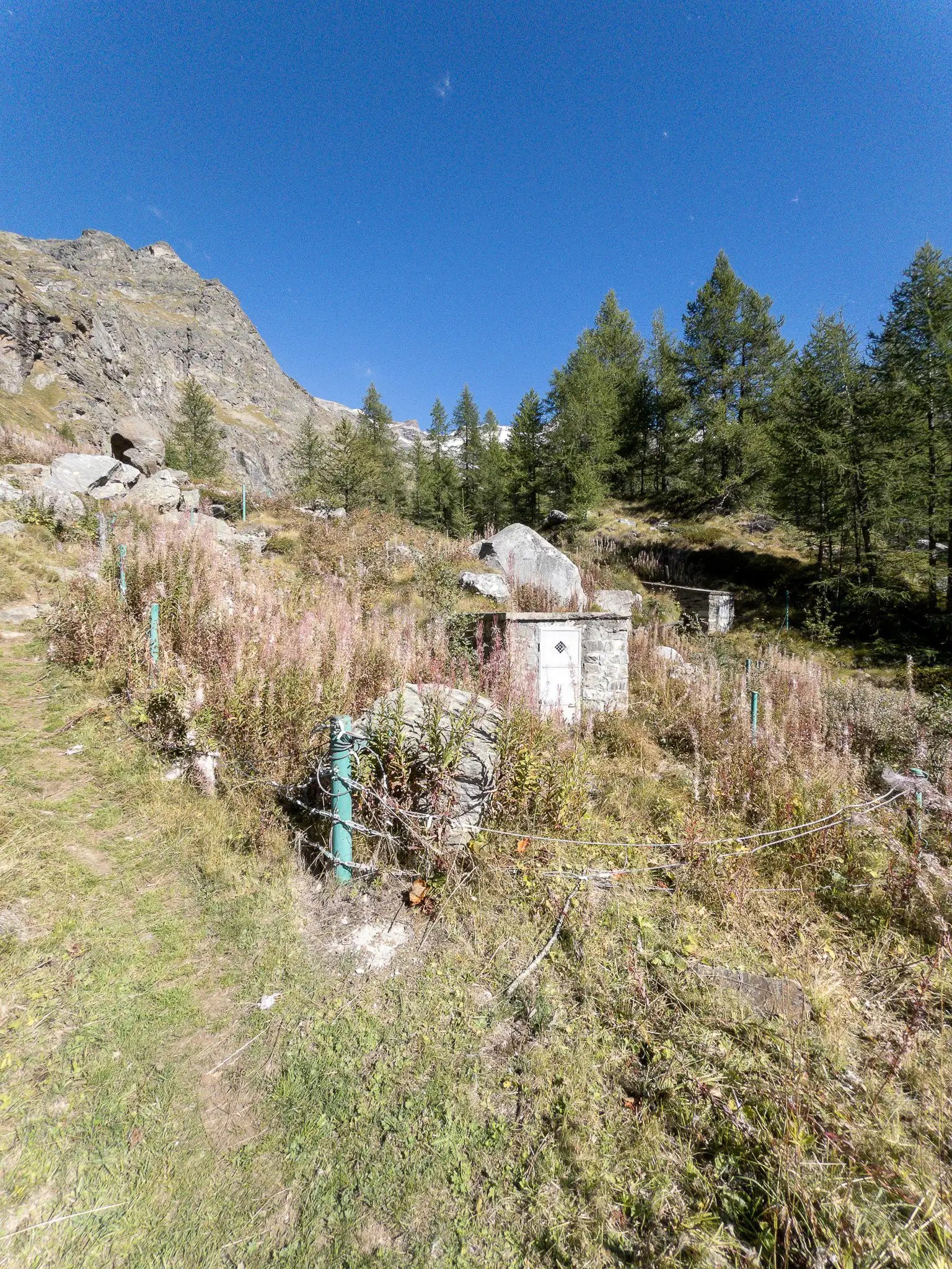
At 2,082 meters, you come to a fenced-in area containing various water systems; this is Ros Gaveno.
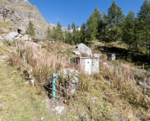
Ros Gaveno, 2,082 m
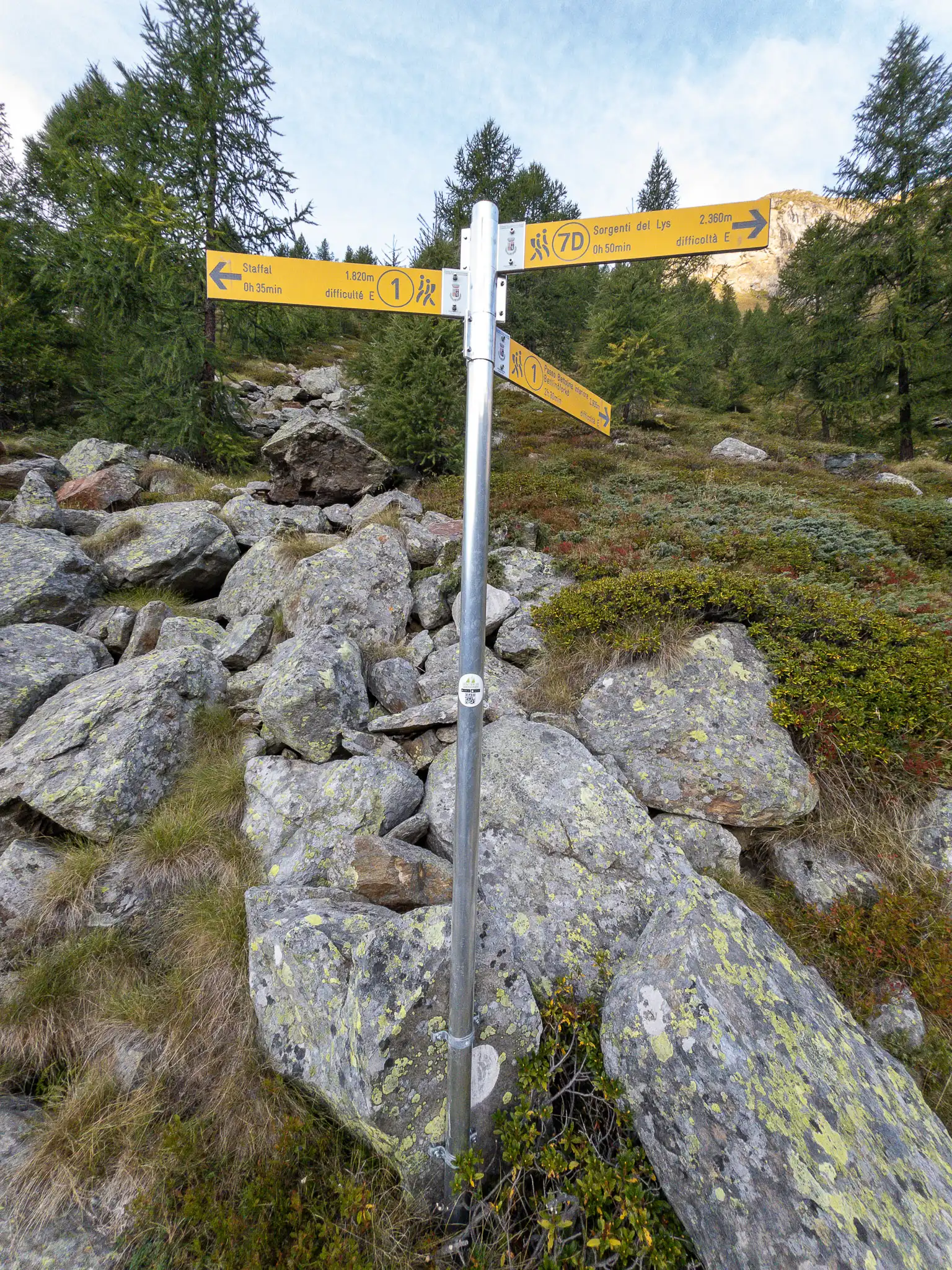
A few meters further on, you’ll find the waymark: continue straight ahead across the plateau to follow Trail 7D; if you turn left, follow
TRAIL 1
, which leads to the Bettolina Pass.
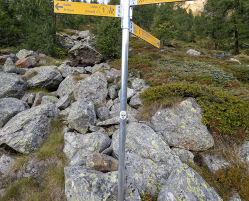
The junction between Trail 1 and Trail 7D
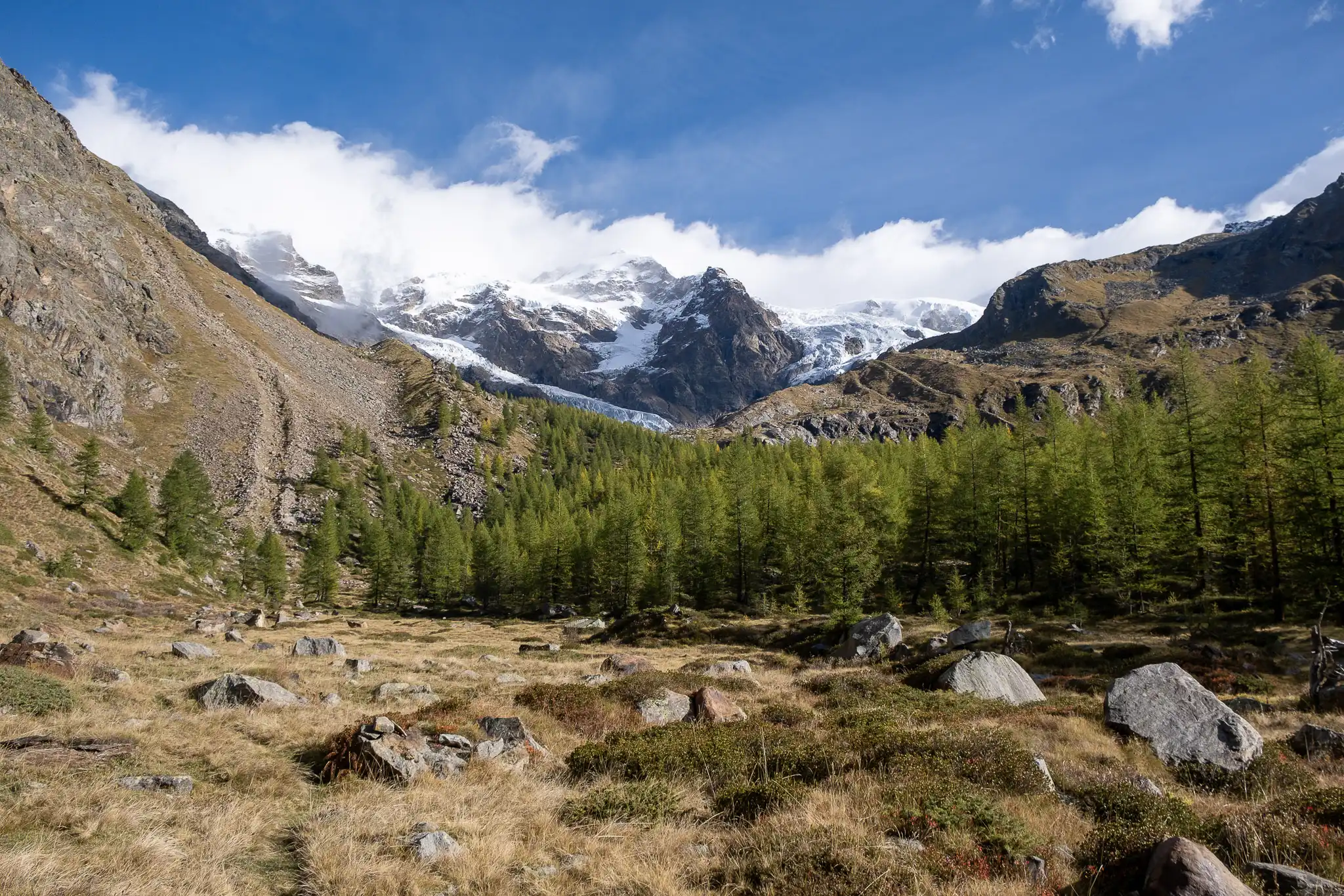
The trail continues along the final stretch of the plateau, which opens up here into a beautiful clearing.
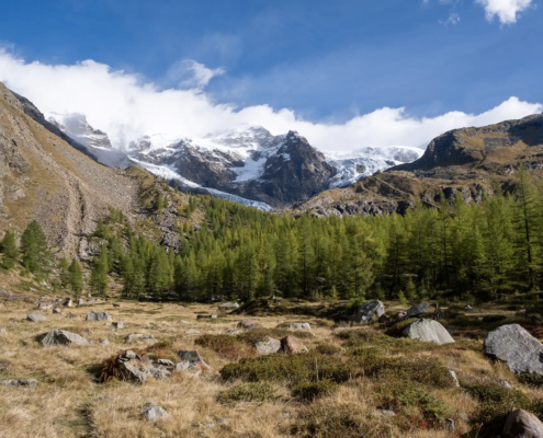
The plateau before the moraine
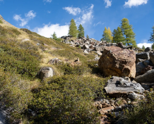
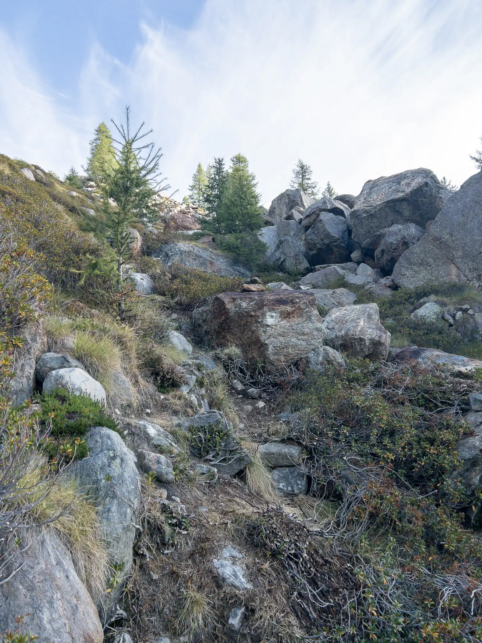
The plateau ends once you reach the trees, right next to a band of rocks that slopes down from above: the trail climbs to the left of the rocks until it passes a first ledge.
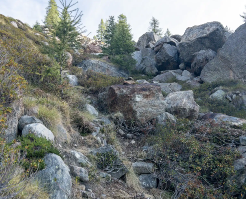
The trail climbs to the left of the rocks
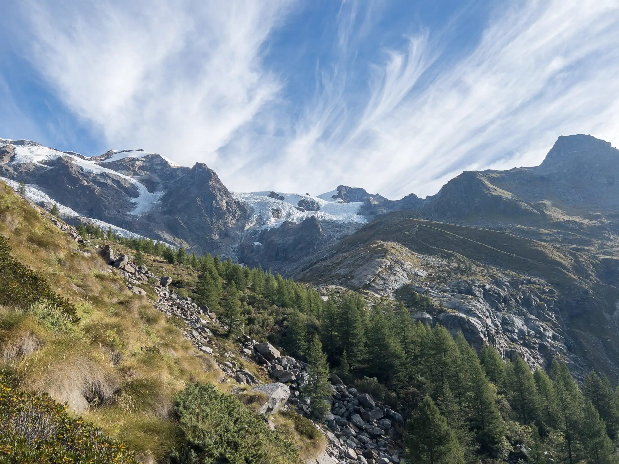
The trail then gradually veers to the right, crossing the final rocky section, until it climbs up the back of the moraine, reaching its crest at 2,269 meters.
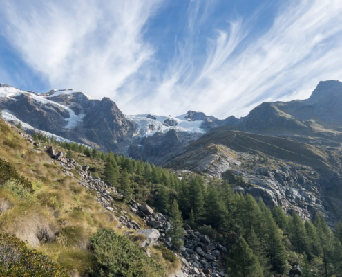
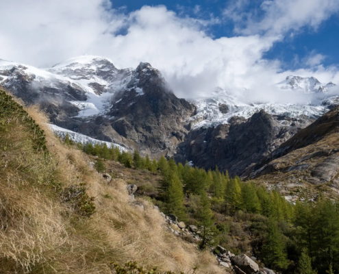
The view once you reach the crest of the moraine
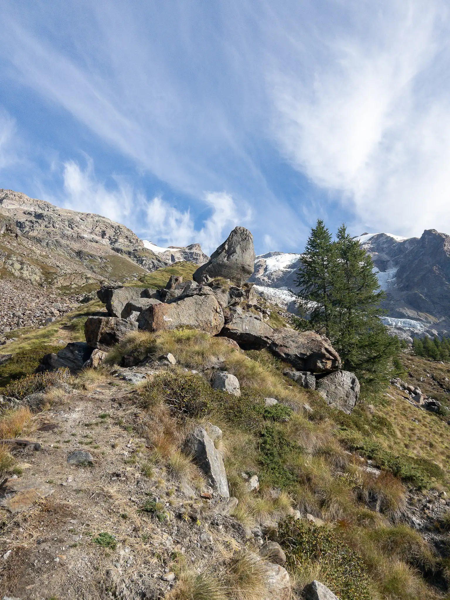
Follow the ridge line toward a tall boulder, which the trail passes on the left.
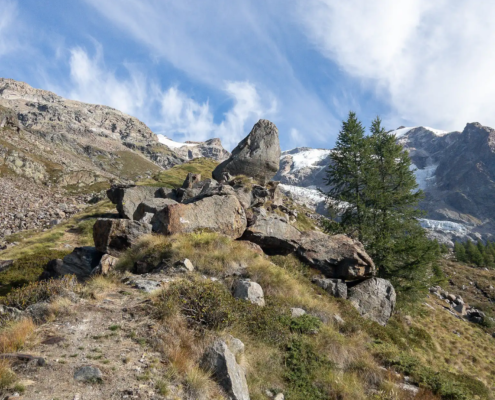
We climb toward the large boulder
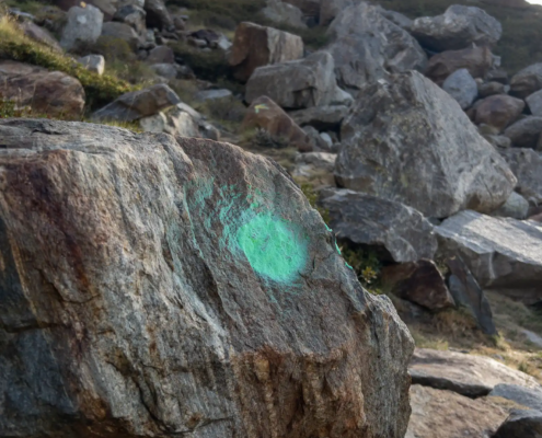
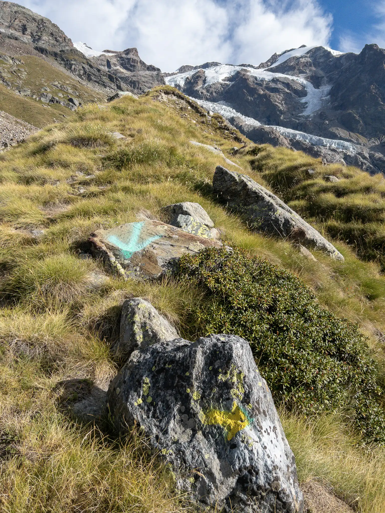
At 2,363 meters, you’ll come to a boulder with a yellow arrow pointing to the right: the clearly visible green arrow on a boulder not far away explicitly indicates that you should not continue further along the moraine ridge.
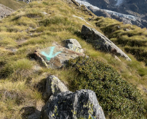
Turn right at this arrow
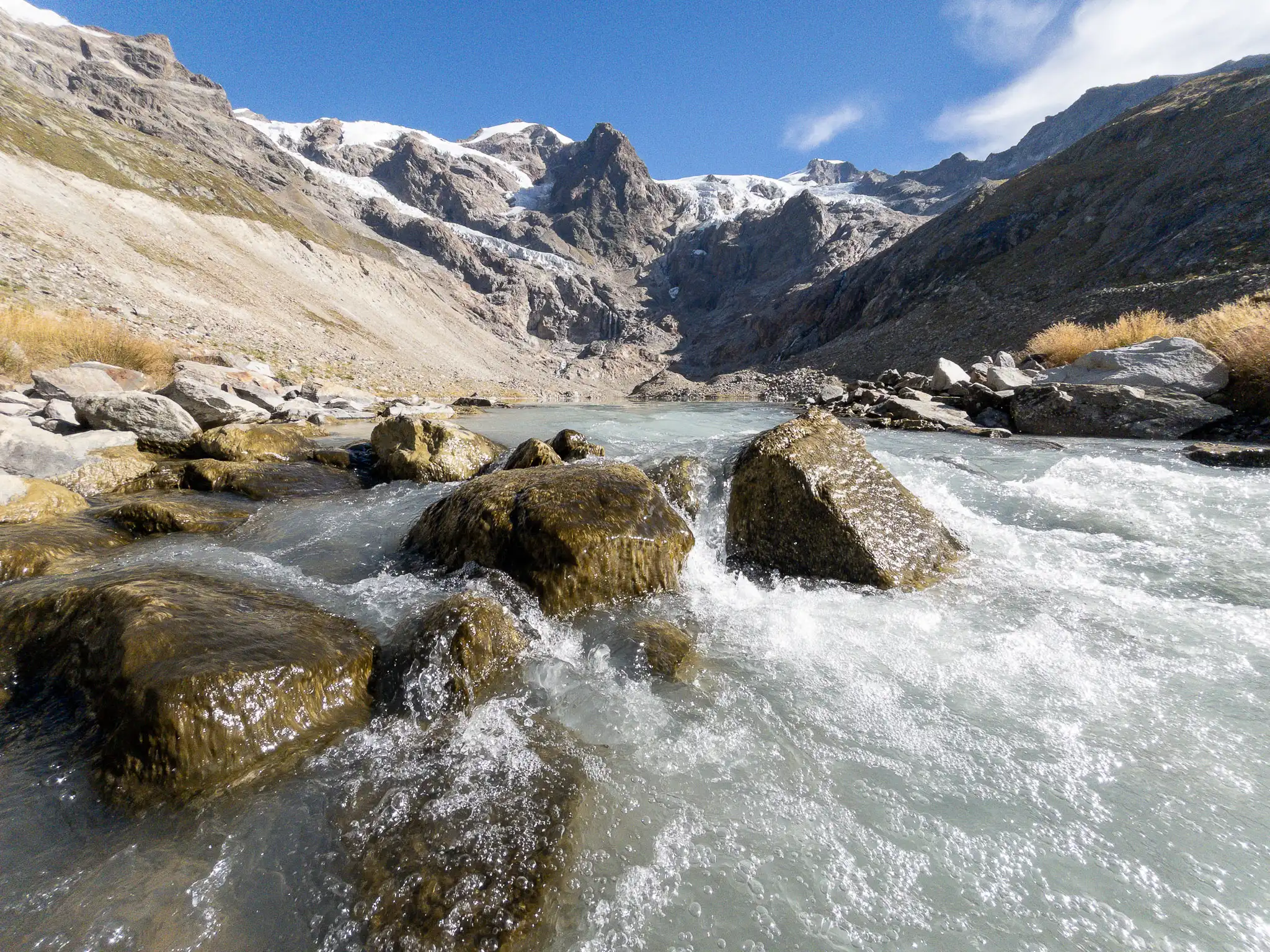
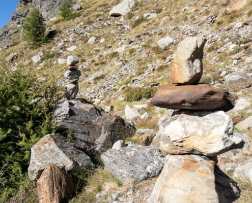
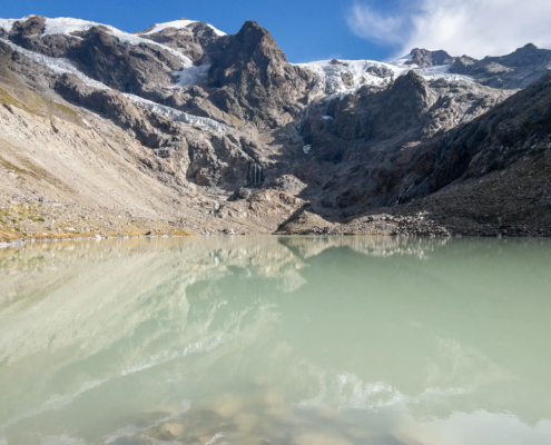
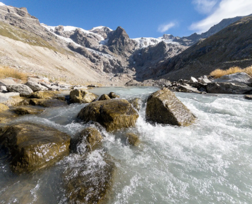
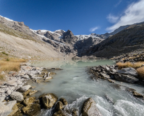
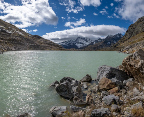
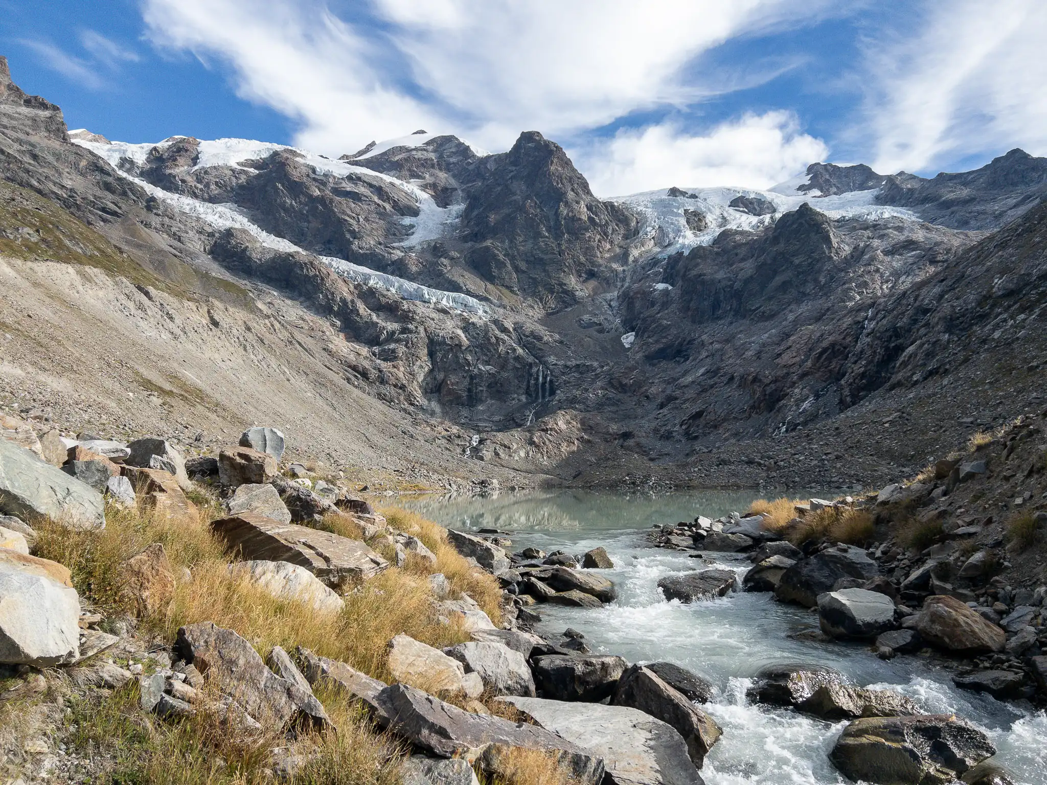
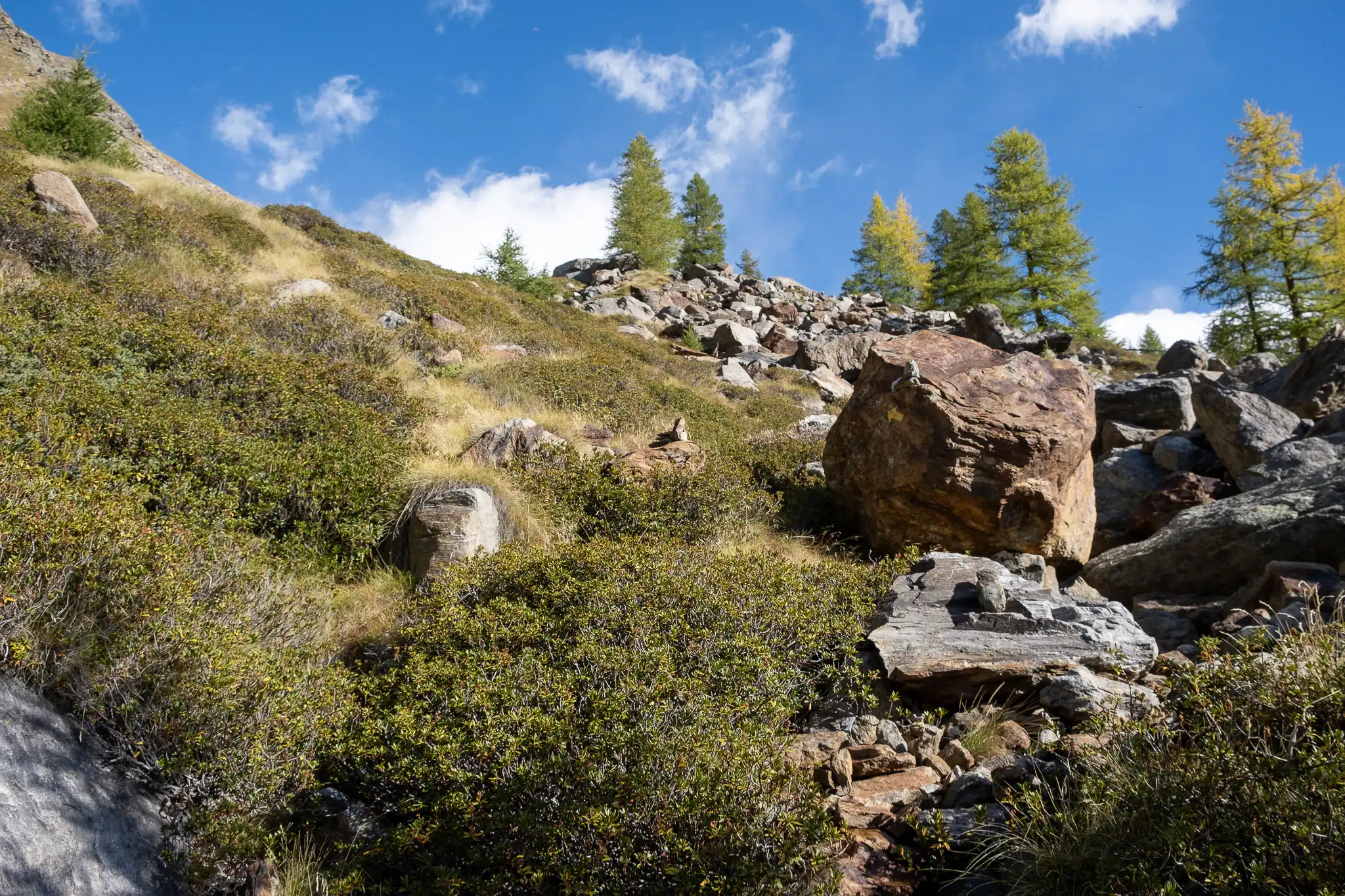
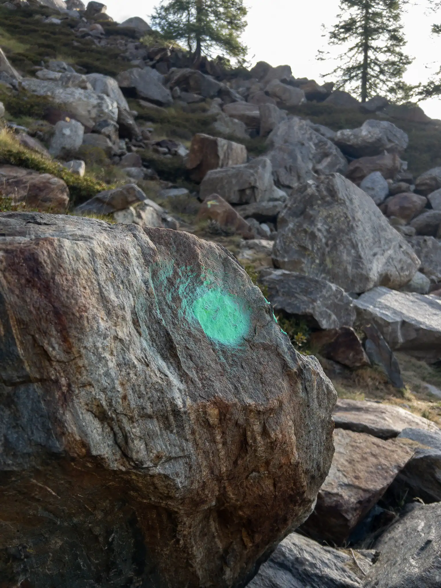
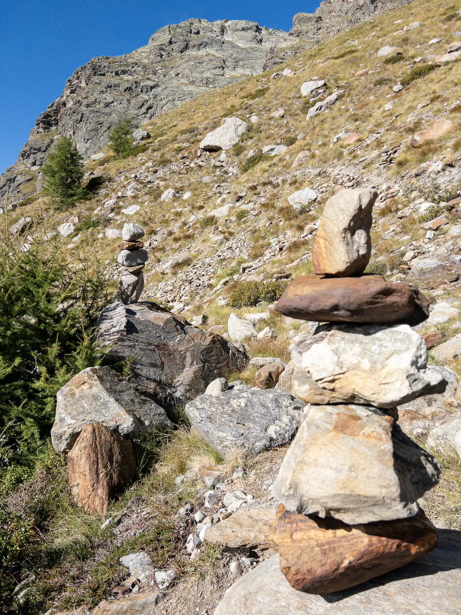
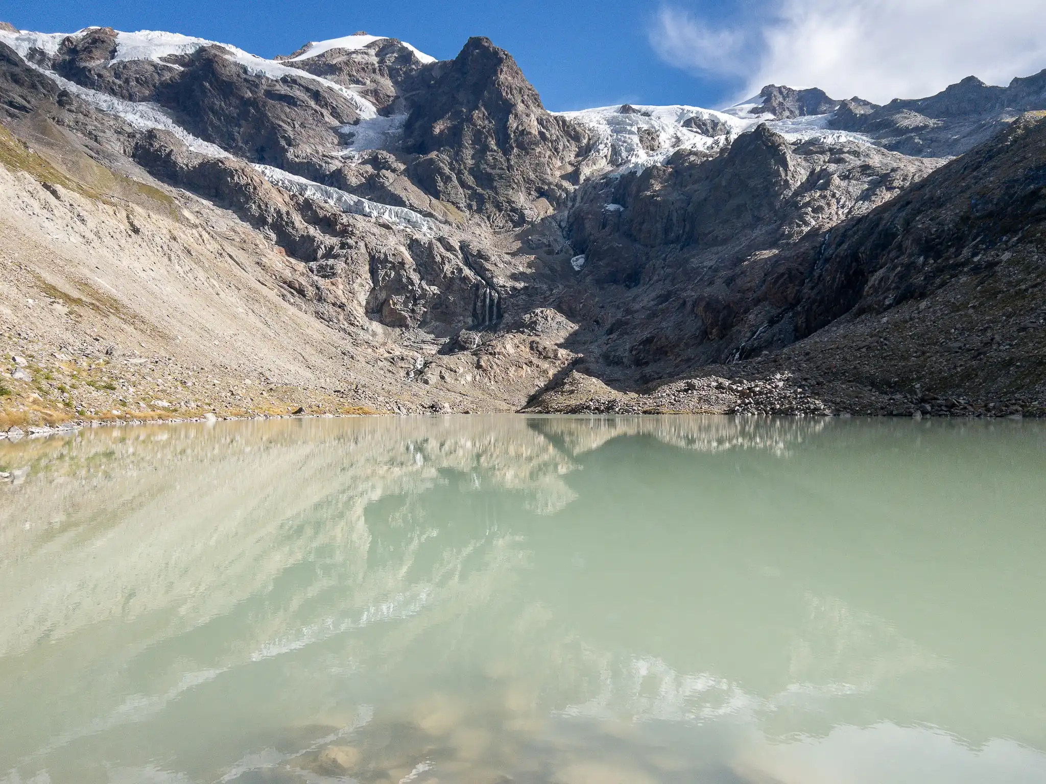
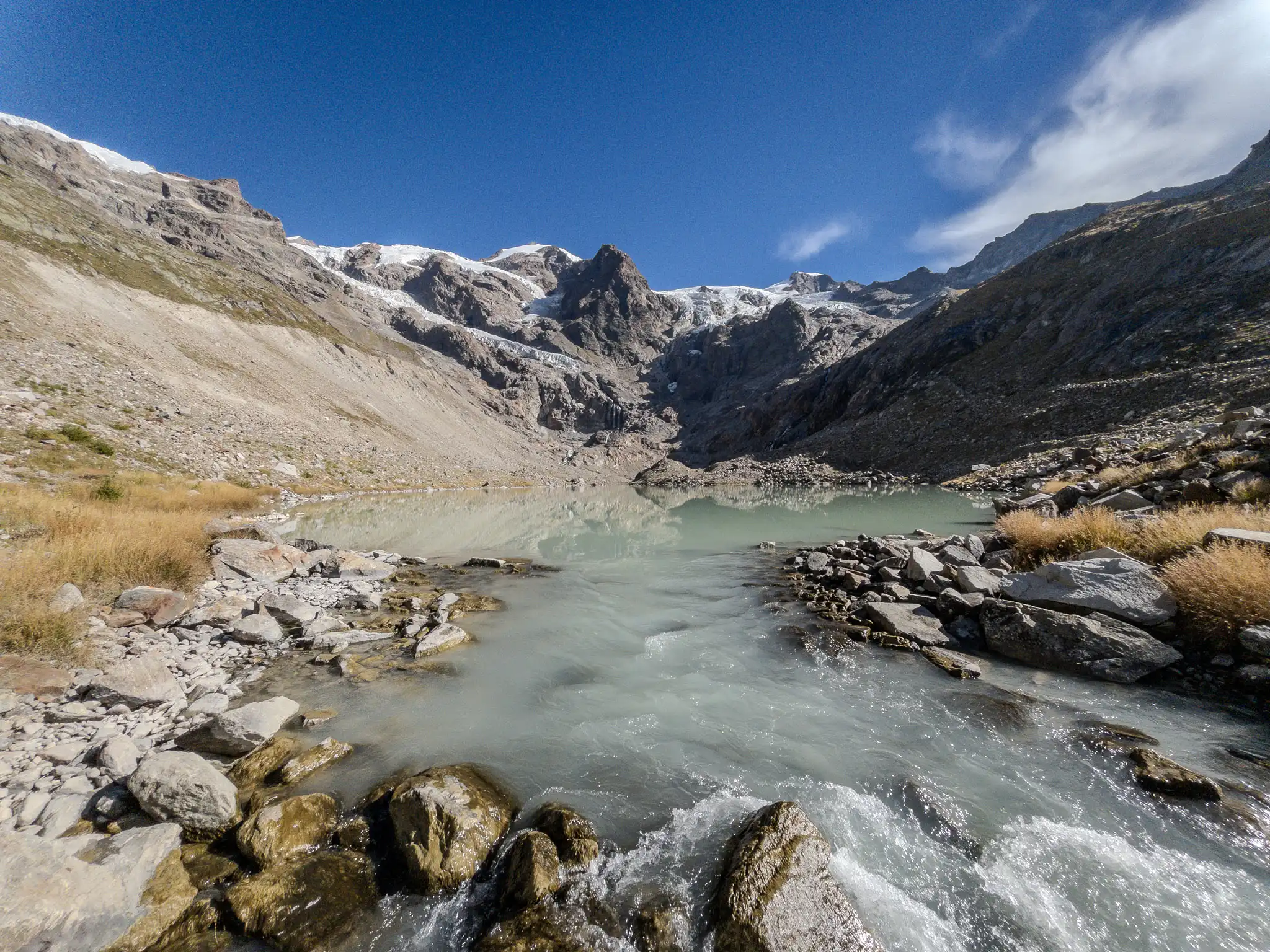
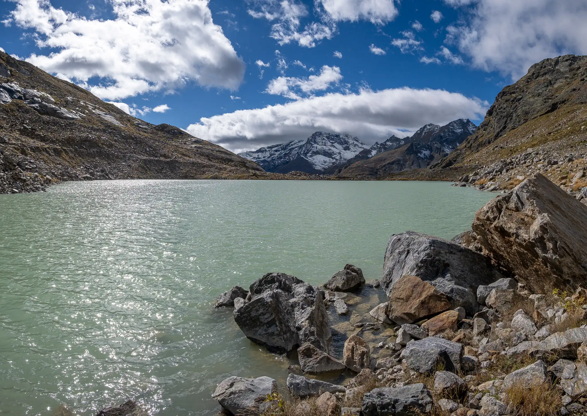
Then turn right and start heading down toward the lake and the river. In this section, the trail winds through rocks and dirt; in places, it is slightly unstable. Various markers and cairns make it easy to reach the end of the trail, which comes to an end near a huge green-and-blue marker painted on a boulder. Just a short distance away is the spot where the Lys River emerges from the glacial lake.
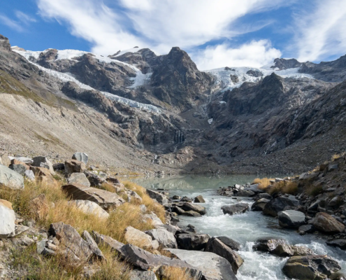
The source of the Lys
The loop around the lake (until it rejoins
TRAIL 7
) is possible later in the season, when the flow of water from the two main tributaries flowing down from the lake (which must be forded) has decreased slightly. You walk all the way around the lake, staying close to the shore.
Warning: Once you’ve completed the loop, making your way back up to where Trail 7 intersects is no easy task. You’ll need to navigate your way through the sea of rocks using a digital map, as there are no obvious visible markers to help you along the way.