Bivouac Gastaldi (2625m), trail 3A

from Rifugio Gabiet to Bivouac Gastaldi
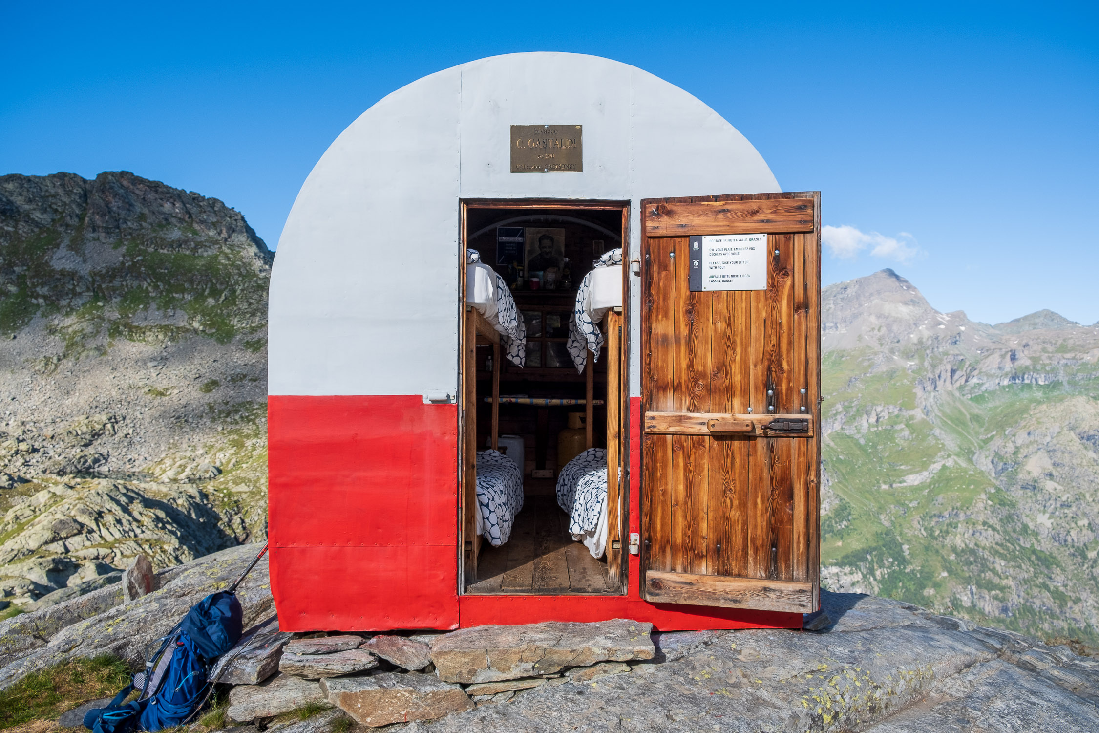
The bivouac Gastaldi

Trail 3A starts from Gabiet refuge (2370m) and goes to Bivouac Gastaldi (2625m). It is 5491m long and the total positive elevation gain is 259m.
The estimated time for the climb is 2h56. The trail is rated of difficulty E.

Lungo ma non faticoso sentiero, molto bello e panoramico, che unisce il SENTIERO 4 per il Lago Gabiet con il SENTIERO 3 per il Bivacco Gastaldi.

There are a couple of ups and downs along the way that don’t add much to the total elevation gain: it’s only in the last kilometer that the climb becomes steep, specifically when you rejoin TRAIL 3 coming from Gressoney-La-Trinité, and you must navigate the same equipped section (the only technically challenging part of the entire route) to reach the bivouac Gastaldi.

This connecting trail allows you to hike a loop that includes the Gastaldi Bivouac: for example, you can ascend along trail 3 to the bivouac, then descend to the junction with trail 3A and follow it until you reach Lake Gabiet. From there, head down into the valley along trail 4. The starting point is the same. Of course, you can also do the route in reverse: ascend via trail 4, take trail 3A to trail 3, climb up to the bivouac, and then descend into the valley by following trail 3 all the way.

For more information about Bivouac Gastaldi and its surroundings, see the page on TRAIL 3 .
1. Start and finish

Trail 3A starts from Gabiet refuge, the elevation is 2370m.
See on Google Maps.

Latitudine e longitudine (WGS84 - EPSG 4326): 45.8539624524, 7.84967116153

The arrival location is the Gastaldi Bivouac. The altitude is 2625m.
See on Google Maps.

Latitudine e longitudine (WGS84 - EPSG 4326): 45.8267628224, 7.85236876651

2. The route

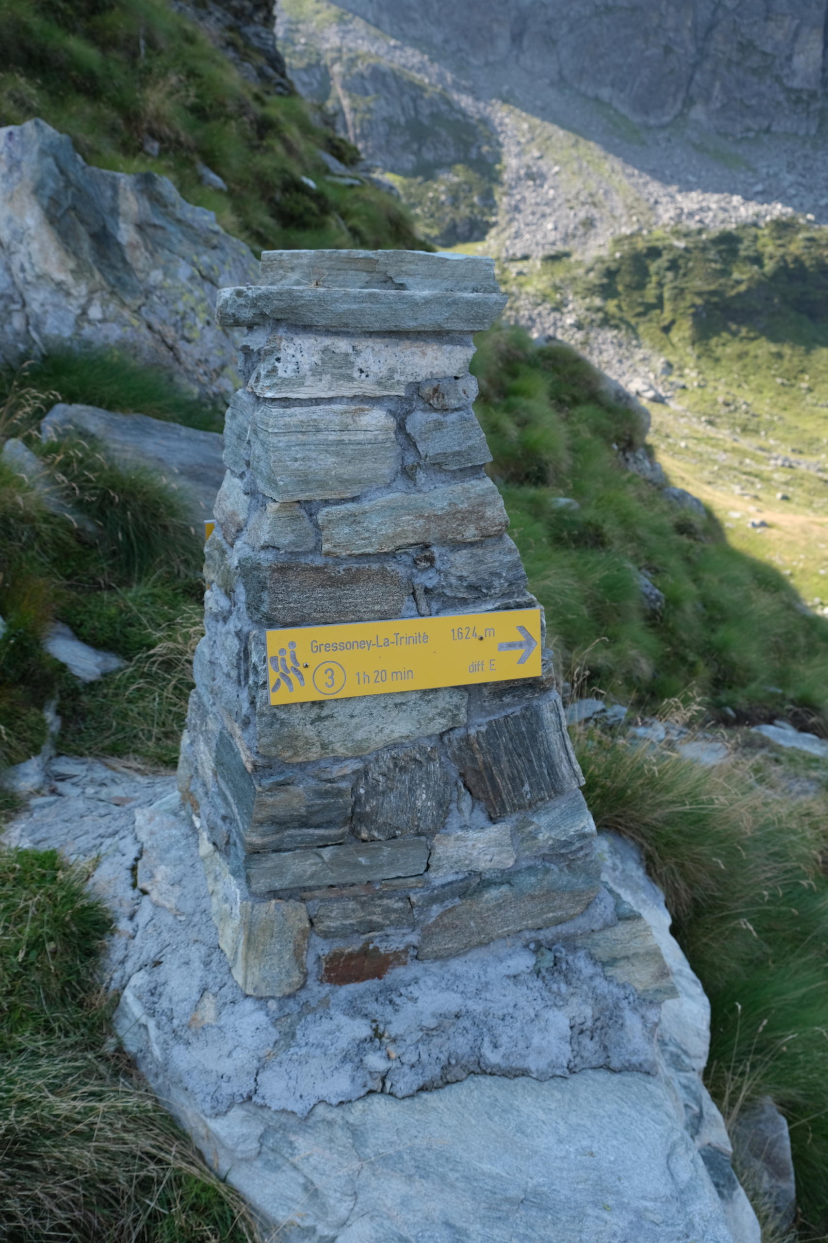
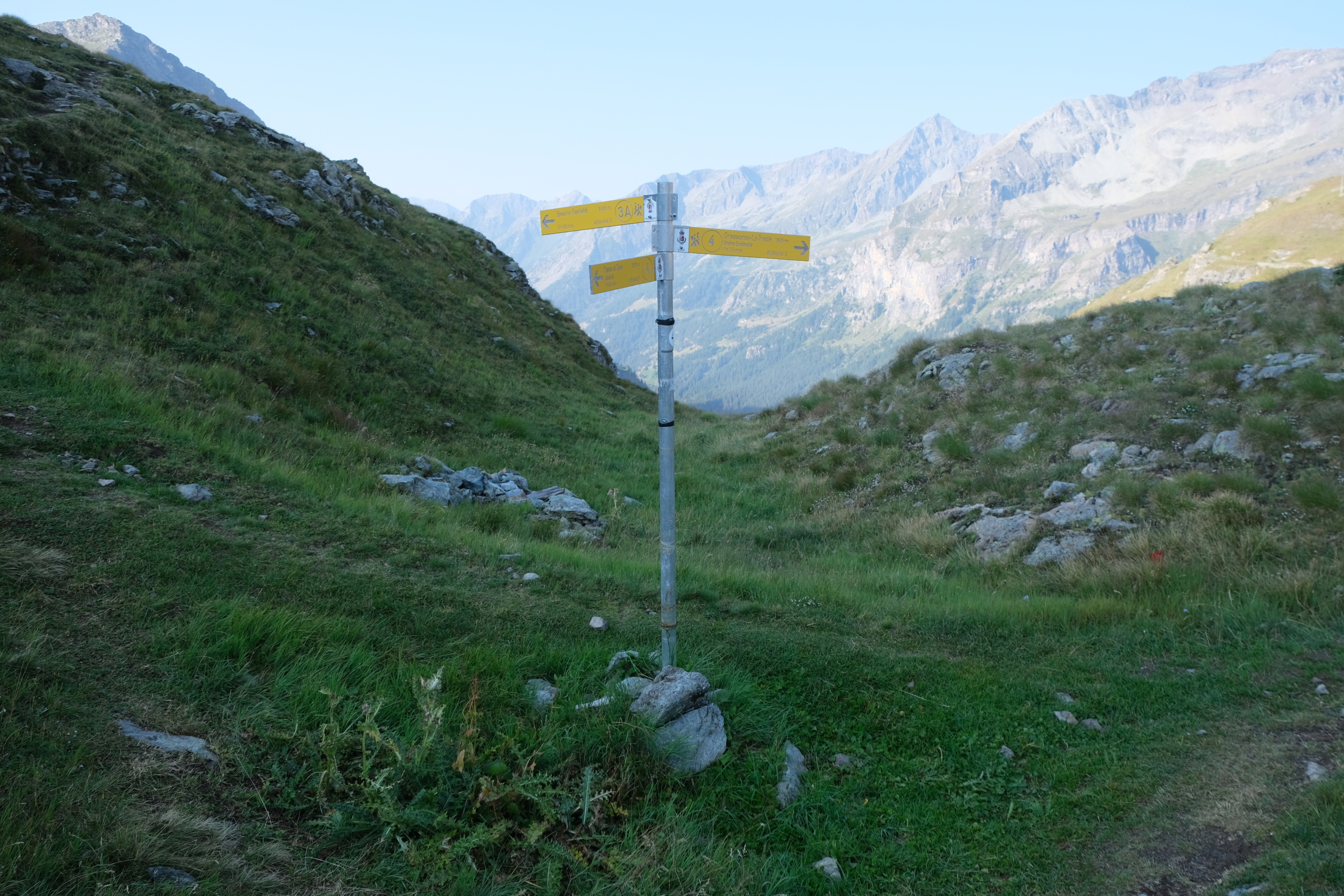
The trail starts at the waymark next to the Gabiet Dam keeper’s lodge.

The waymark at the starting point

The waymark at the starting point

It starts out on flat ground, but in a short amount of time it climbs to cross a mountain ridge at 2,443 meters. As you approach the ridge, you’ll come to a fork in the trail: keep to the left—that is, take the path that goes uphill.

The mountain ridge to climb

The mountain ridge to climb

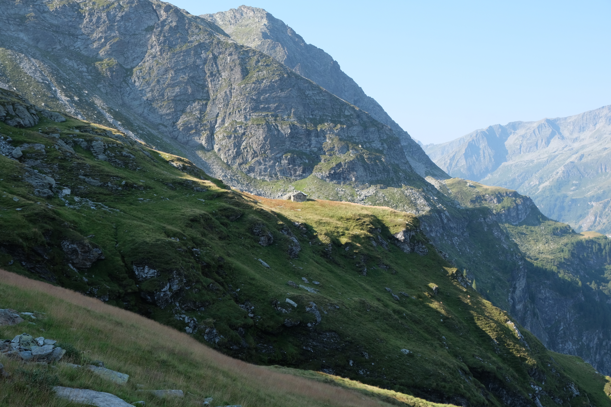
Once you’ve passed the ridge, you can see your next destination in the distance: the Skearpie-Scherpia Gaveno mountain hut (2,398 m). The trail passes to his left.

The Scherpia Gaveno Cabin

The Scherpia Gaveno Cabin

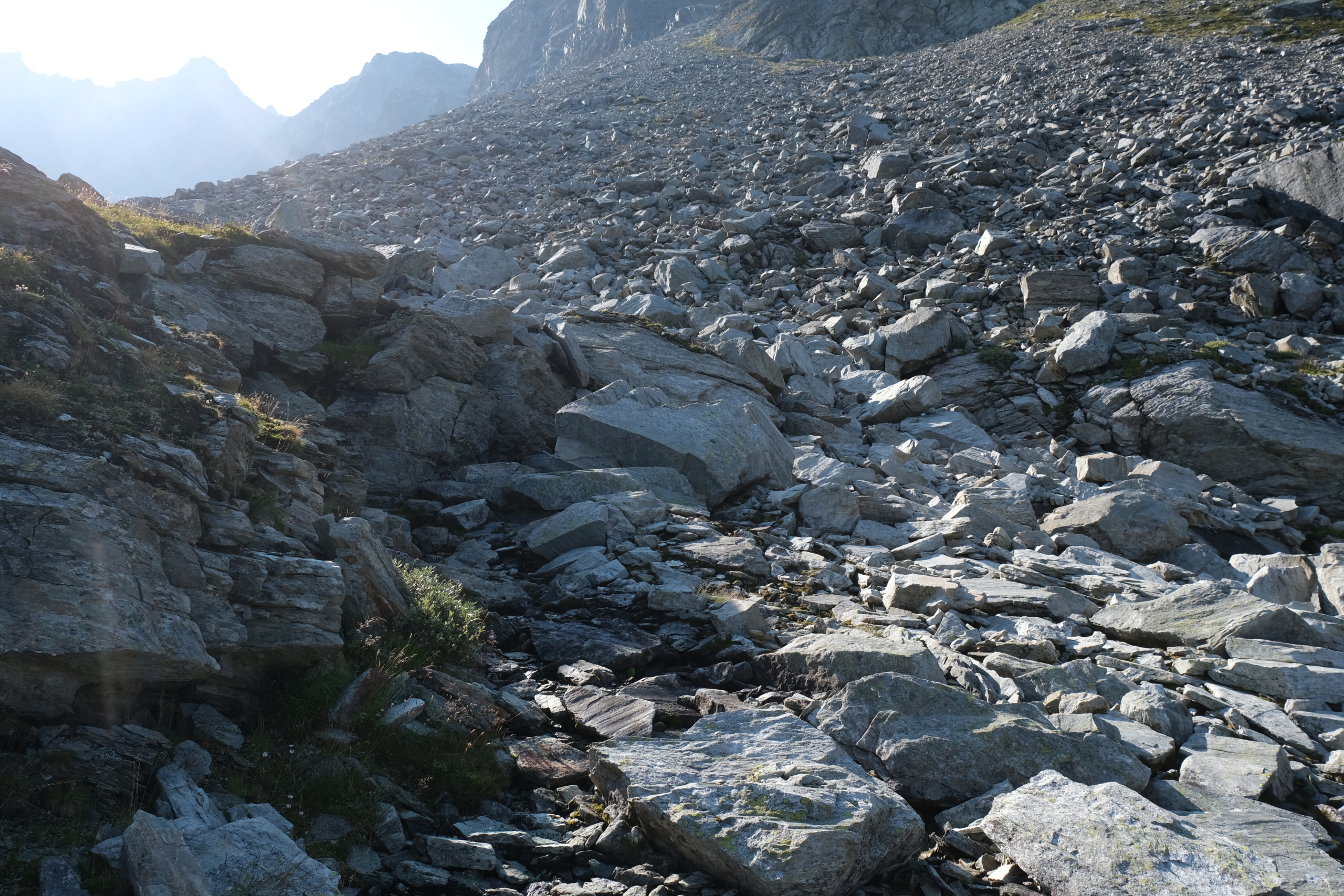
The trail climbs again to cross another rocky ridge at 2,447 meters. At 2,427 meters, you wade across the wide bed of the Spissen Stream.

The bed of the Spissen Creek

The bed of the Spissen Creek

Continue through the next valley, on a gentle descent, until you reach a waymark at 2,347 meters.

The waymark at 2,347 meters

The waymark at 2,347 meters

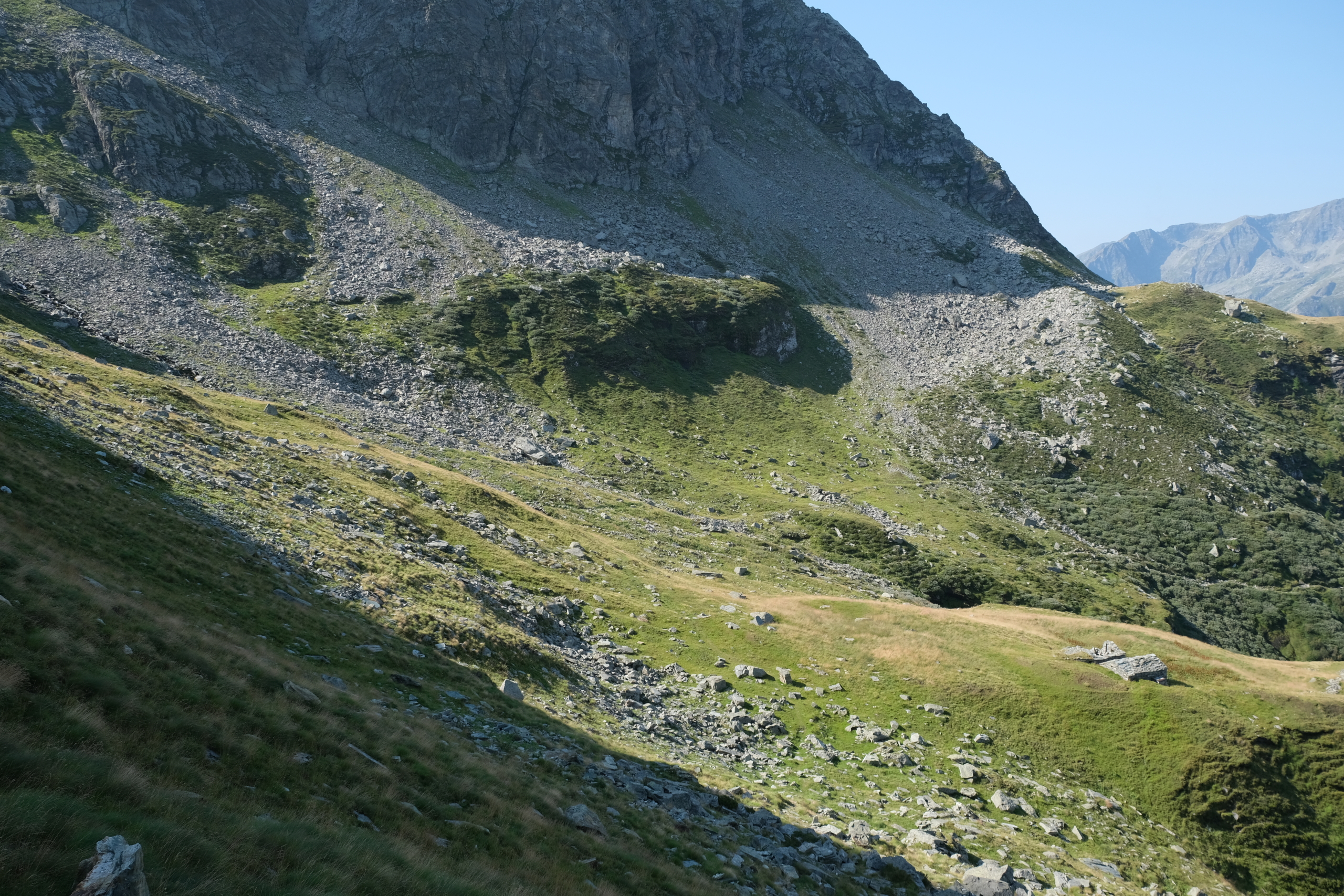
You then enter the valley through which TRAIL 3 leads to the bivouac Gastaldi.

The valley along trail 3

The valley along trail 3

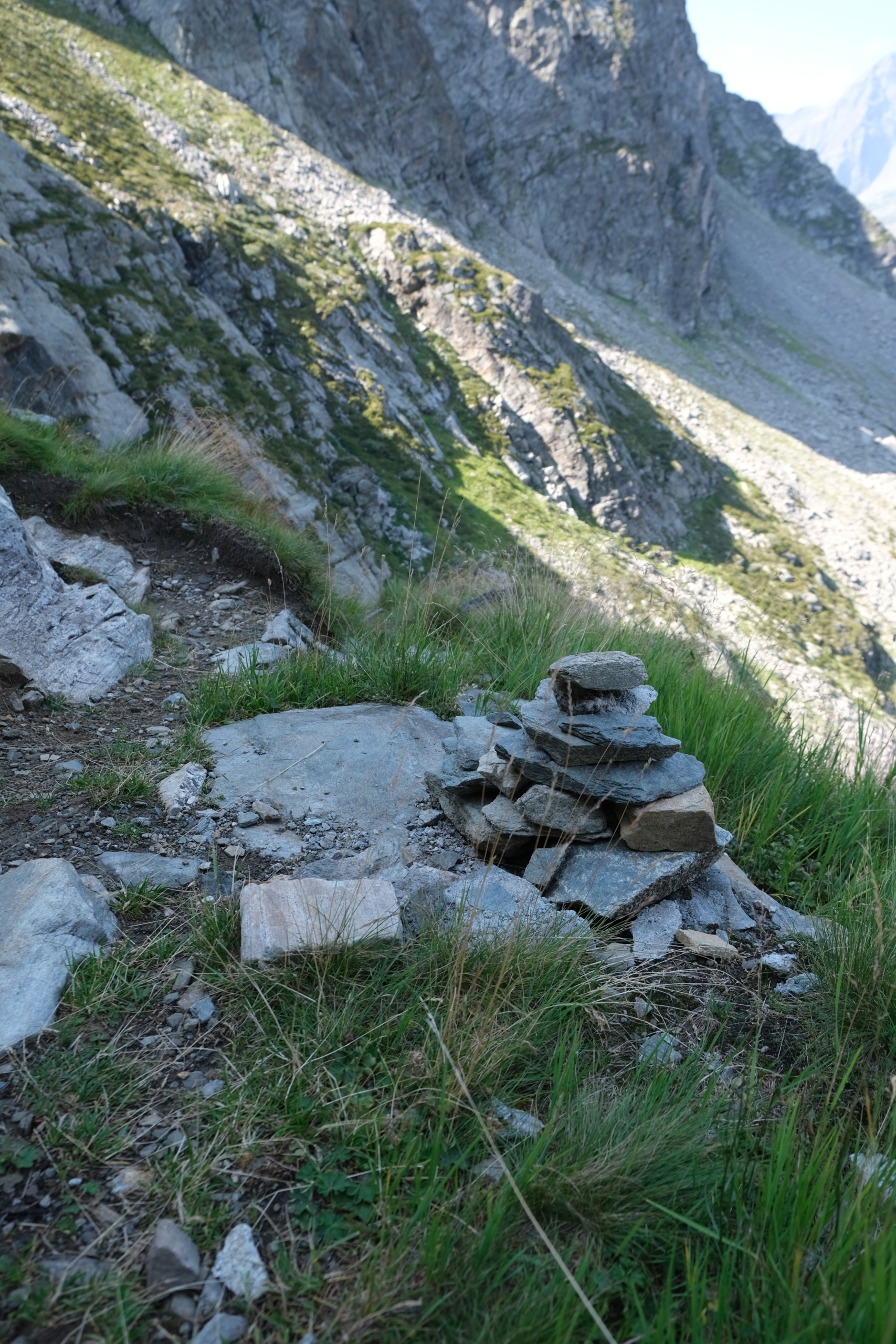
After three or four flights of stone steps, you’ll reach a cairn at 2,436 meters, where you’ll finally rejoin TRAIL 3 . From here to the bivouac Gastaldi, there is an elevation gain of about 200 meters. Read the description of the final section in the information sheet for TRAIL 3 .

The cairn at the junction with trail 3

The cairn at the junction with trail 3

3. Map and GPX track

This is the official map of the trail as recorded in the SCT Trail Registry of the Aosta Valley.
You can download the GPX track of the trail if you want to use it later in your favorite app.