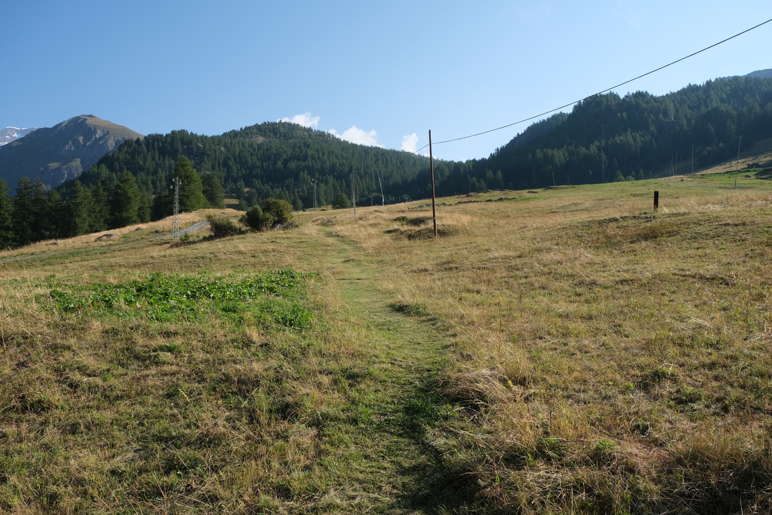
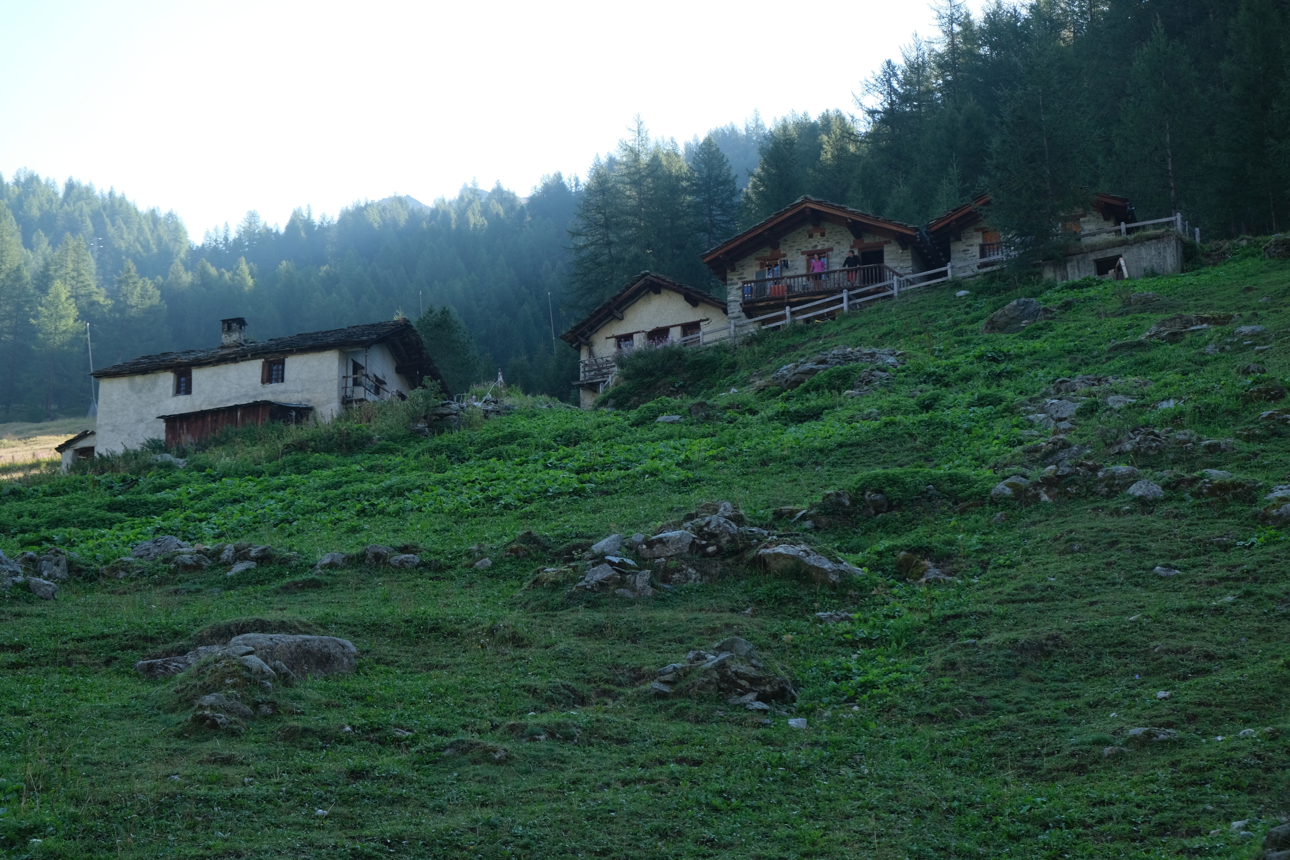
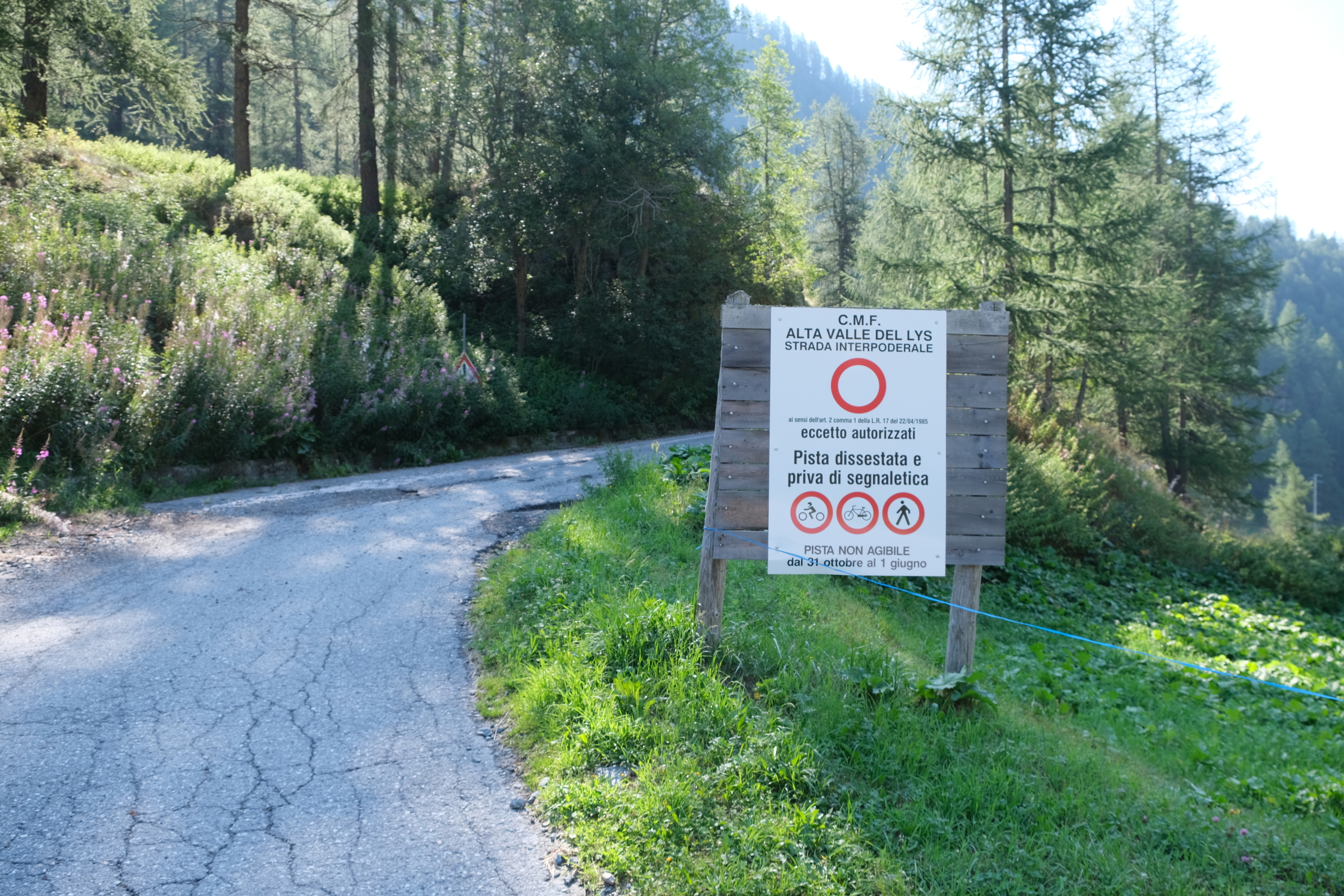
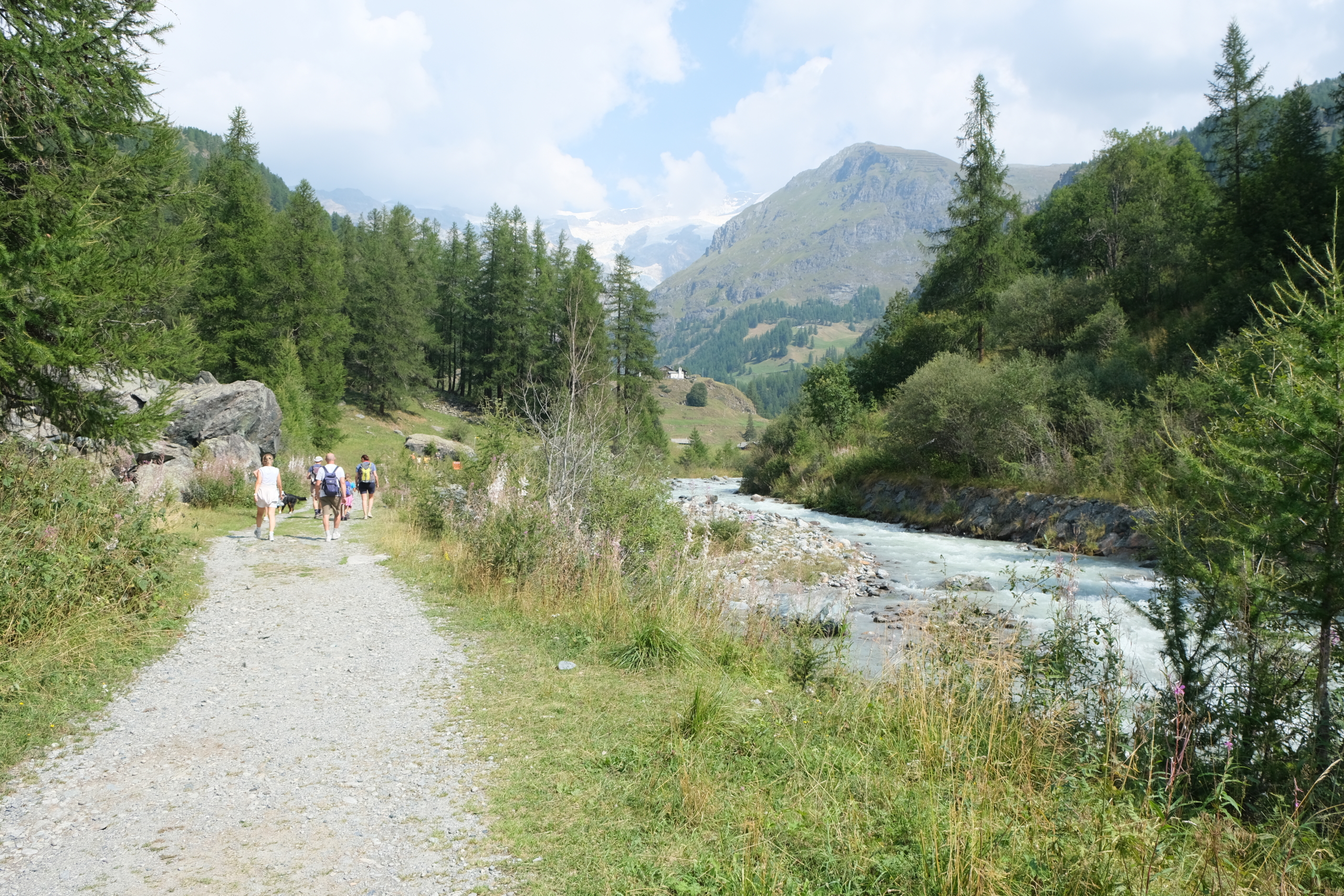
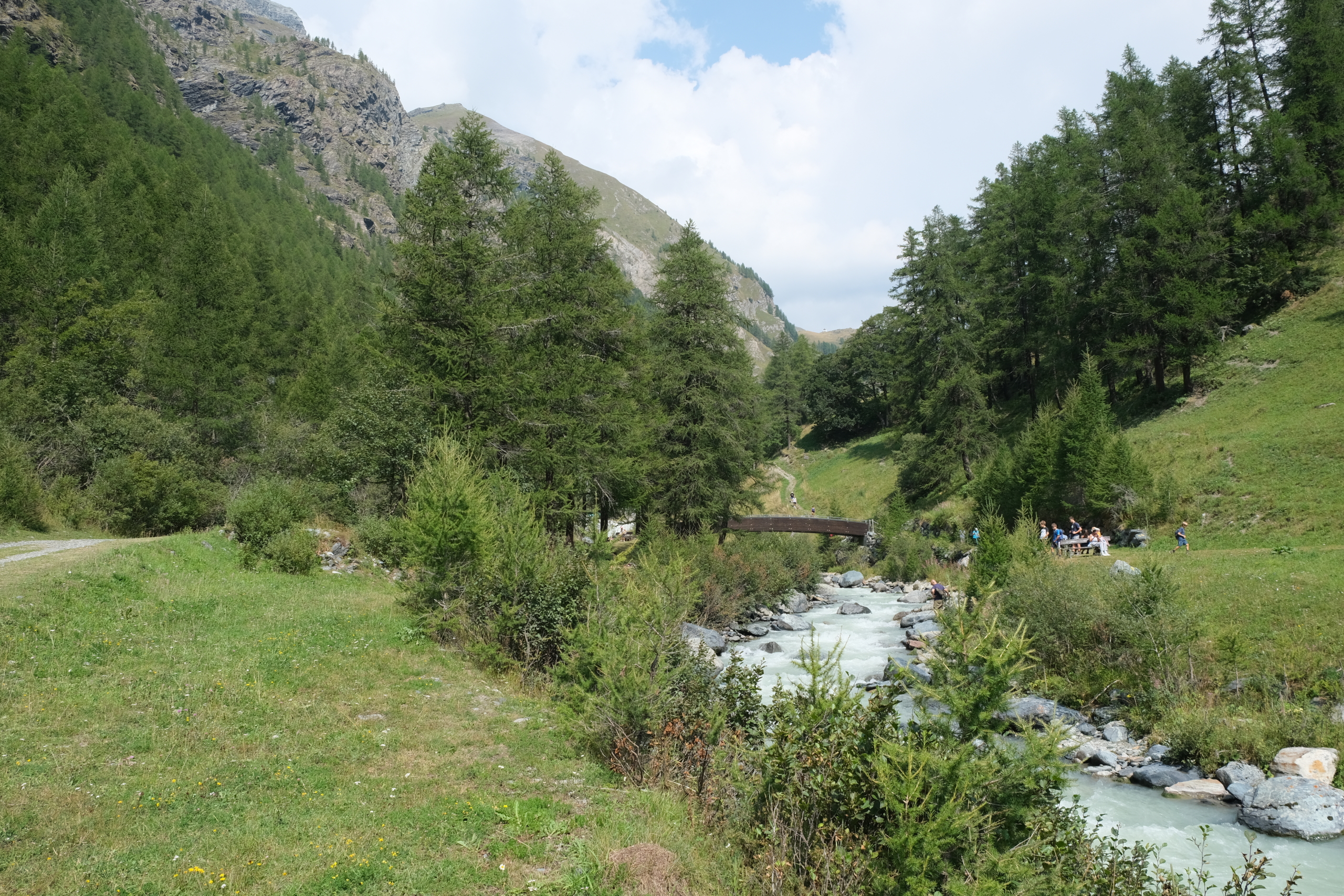
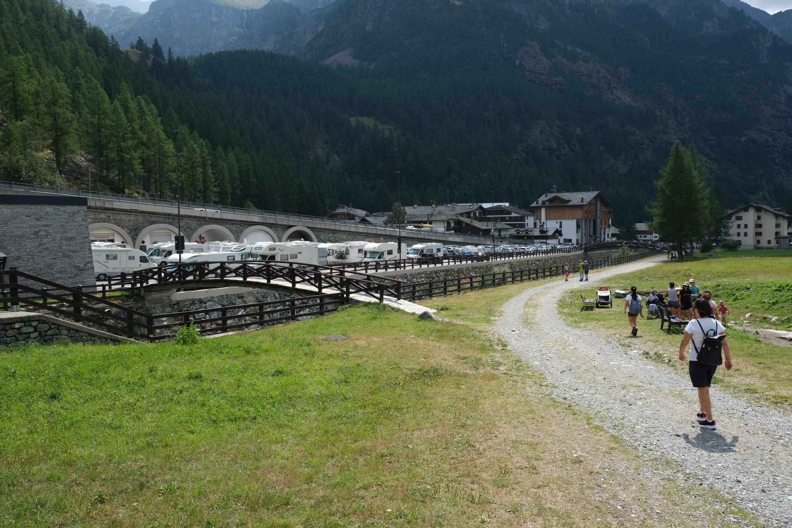
The trail’s southernmost point is on the bridge to the right of the tunnel located just before the entrance to Gressoney-La-Trinité. This description omits this section and begins at the point where Trail 14 arrives from Gressoney-Saint-Jean—that is , along the small road by the Walserschild restaurant , where
TRAIL 3
to the bivouac Gastaldi and Trail 4 to Lake Gabiet begin.

Starting in Gressoney-La-Trinité, enter the trail from the Walsershild Restaurant
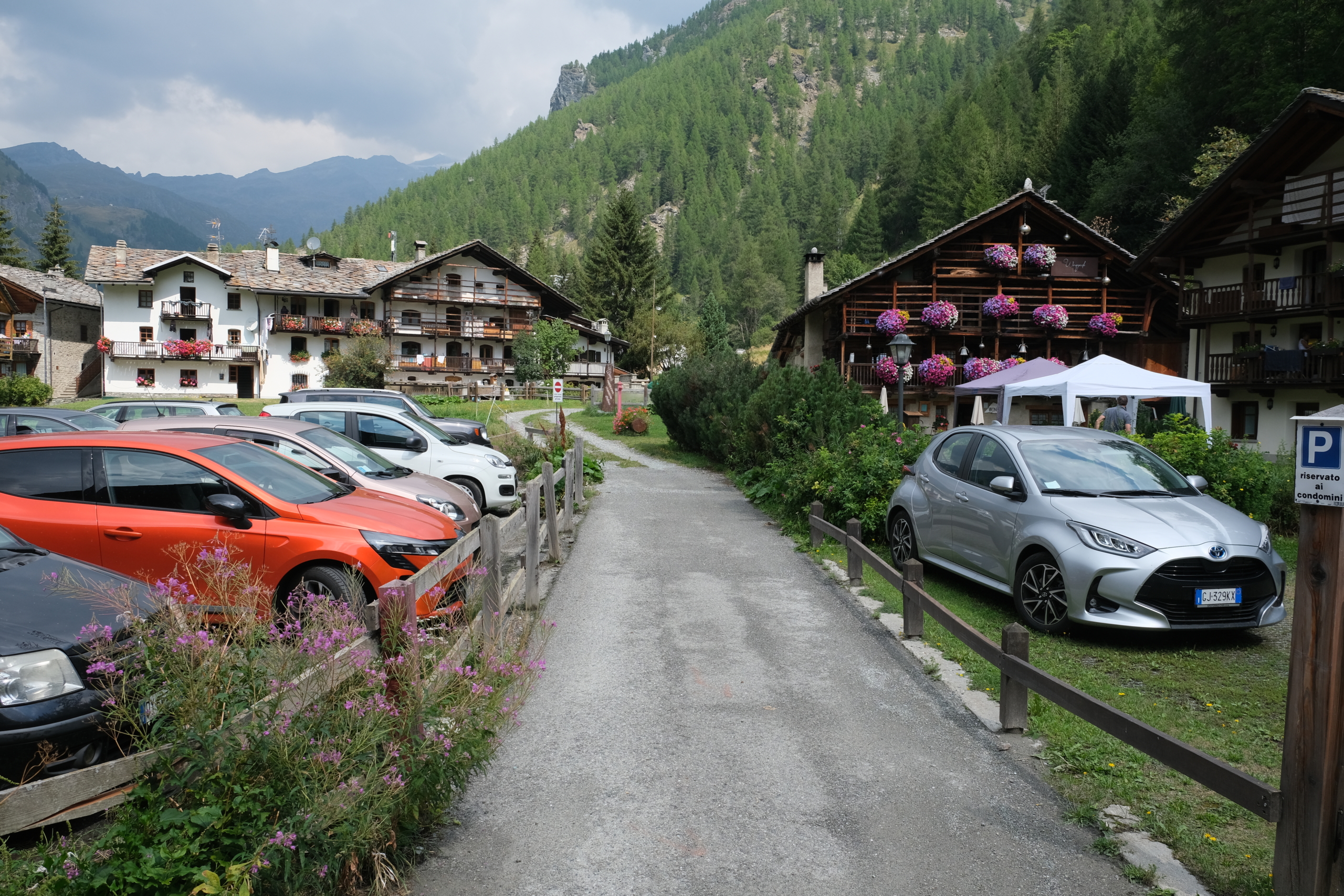
There are two options here: if you want to get off to a quick start, just continue along the state highway until you reach the Punta Jolanda parking lot. If you want to get as far away from the main road as possible, you can take the small road leading to Walsershild, and just past the restaurant, turn left onto the road that runs alongside the Hotel Wongade.
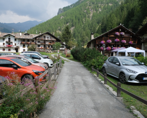
The little street next to the Wongade Hotel
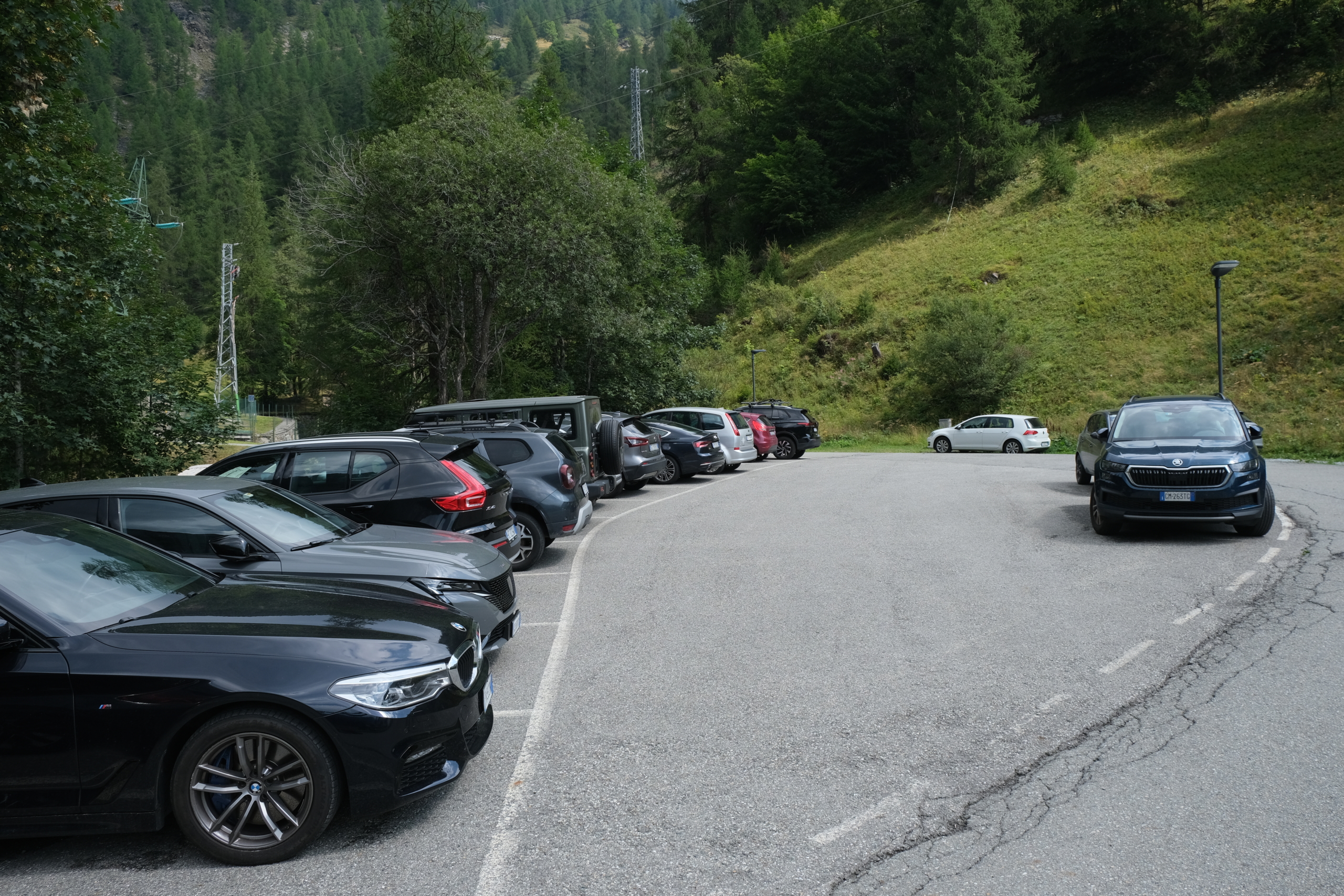
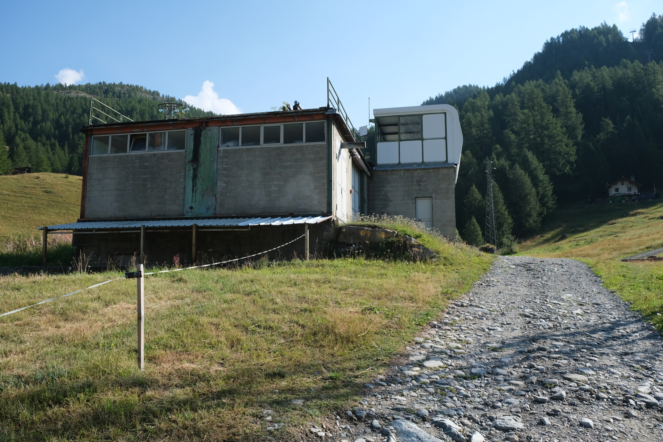
Continue along this road until you reach the parking lot leading to the hydroelectric power plant; here, turn left and return to the state highway.
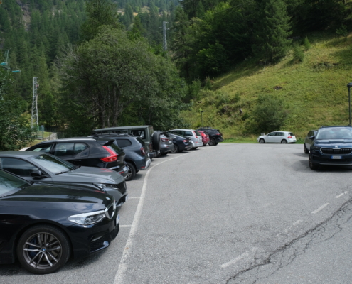
The parking lot at the hydroelectric power plant
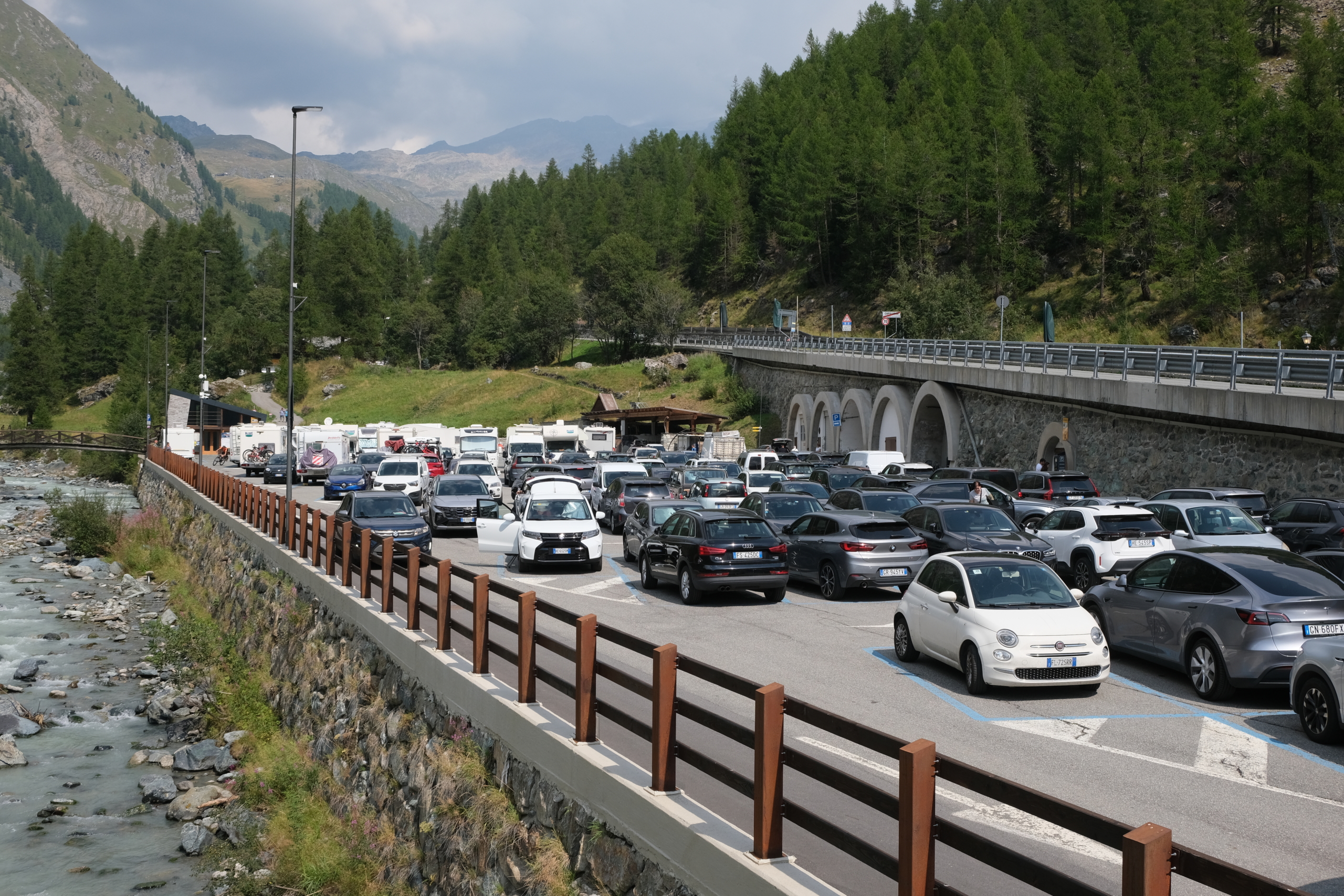
Continue along the state highway until you reach the large parking lot at Punta Jolanda.
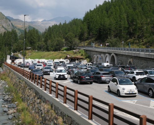
The large parking lot at Punta Jolanda
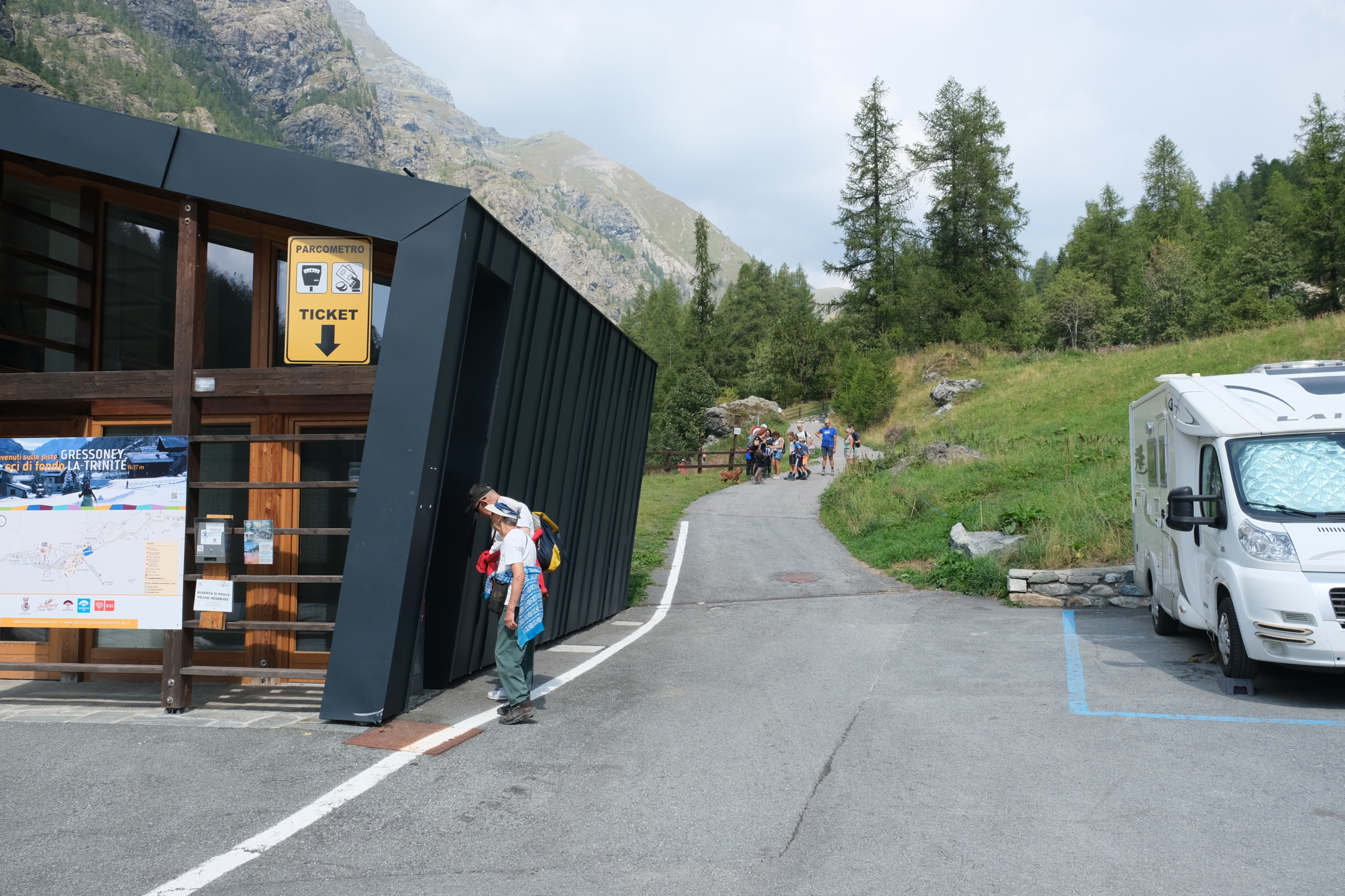
At the far end of the parking lot, on the left next to the tourist information building, is the entrance to the west/left branch of the loop.
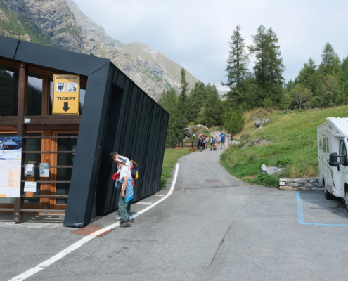
The entrance on the left at the end of the parking lot
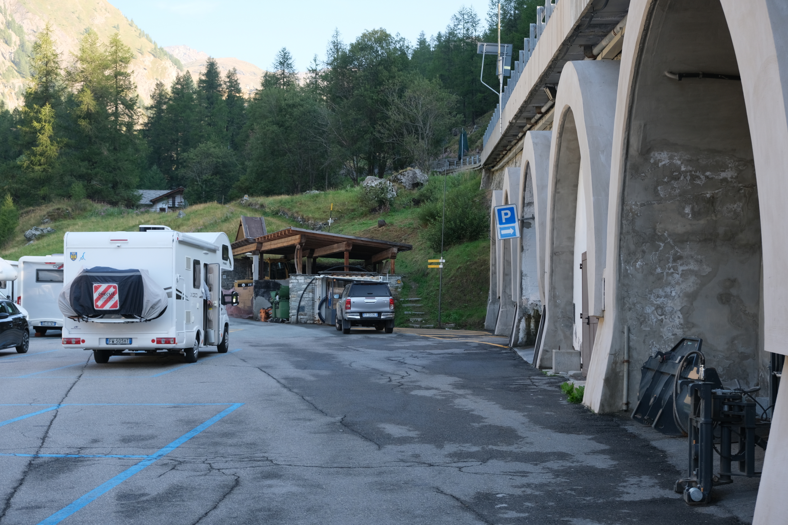
On the right, however, is the starting point for the eastern/right branch of the loop, marked by a waymark.
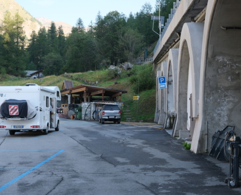
The entrance on the right at the end of the parking lot
We continue along the right-hand entrance.
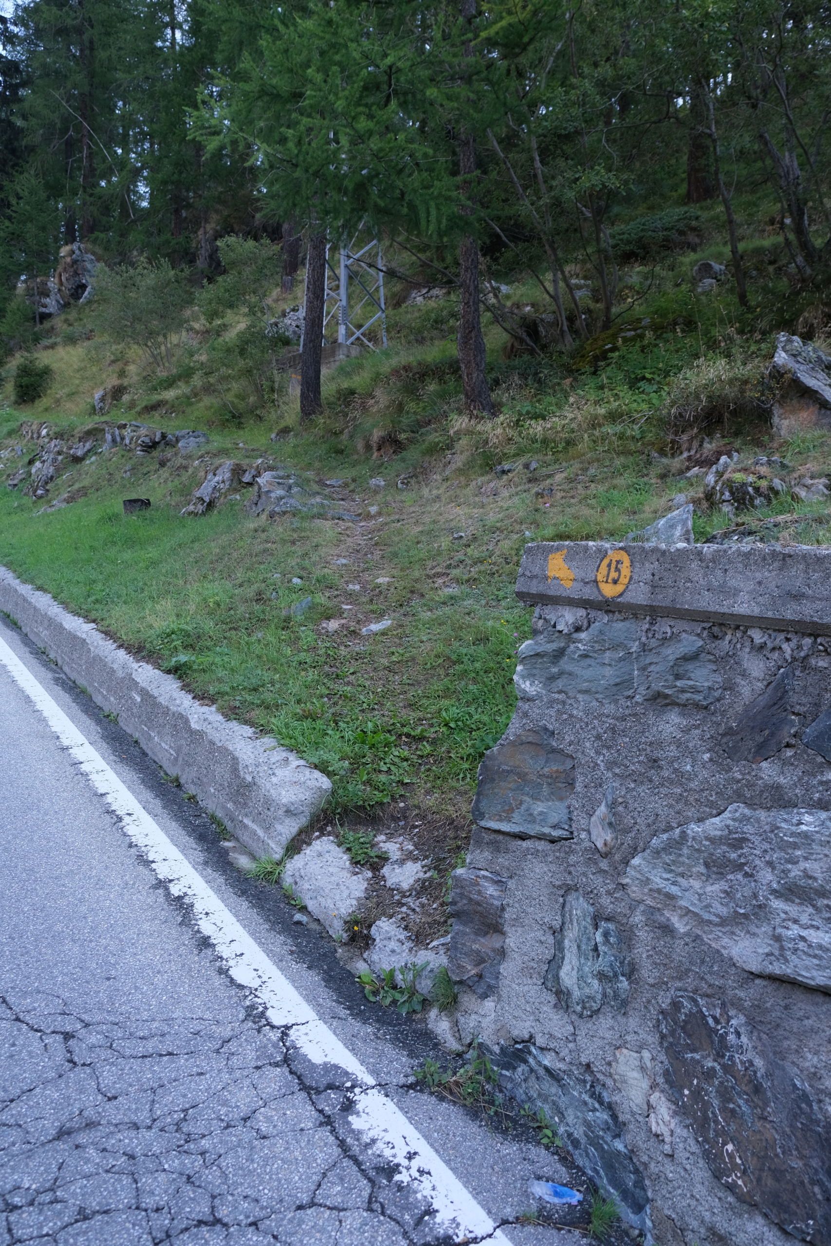
Pass two houses on the right, and you’ll find yourself behindthe Eyo picnic area: exit, cross the street, and re-enter the trail on the other side (there’s a waymark on the low wall).
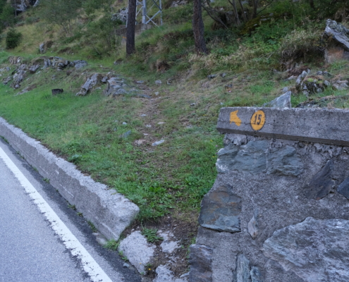
The marker indicating Trail 15, which goes uphill through the grass
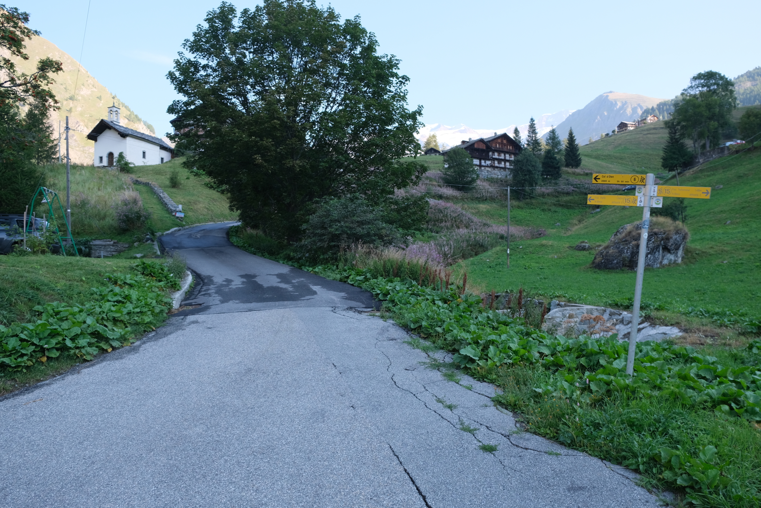
The trail rejoins the path at the next hairpin turn: emerge onto the road, where you walk until you pass the sign marking the entrance to the hamlet of Orsia. Continue to the parking lot on the right, where you’ll find a new waymark pointing to Trail 15.
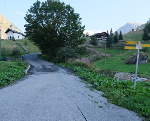
The trailhead in Orsia
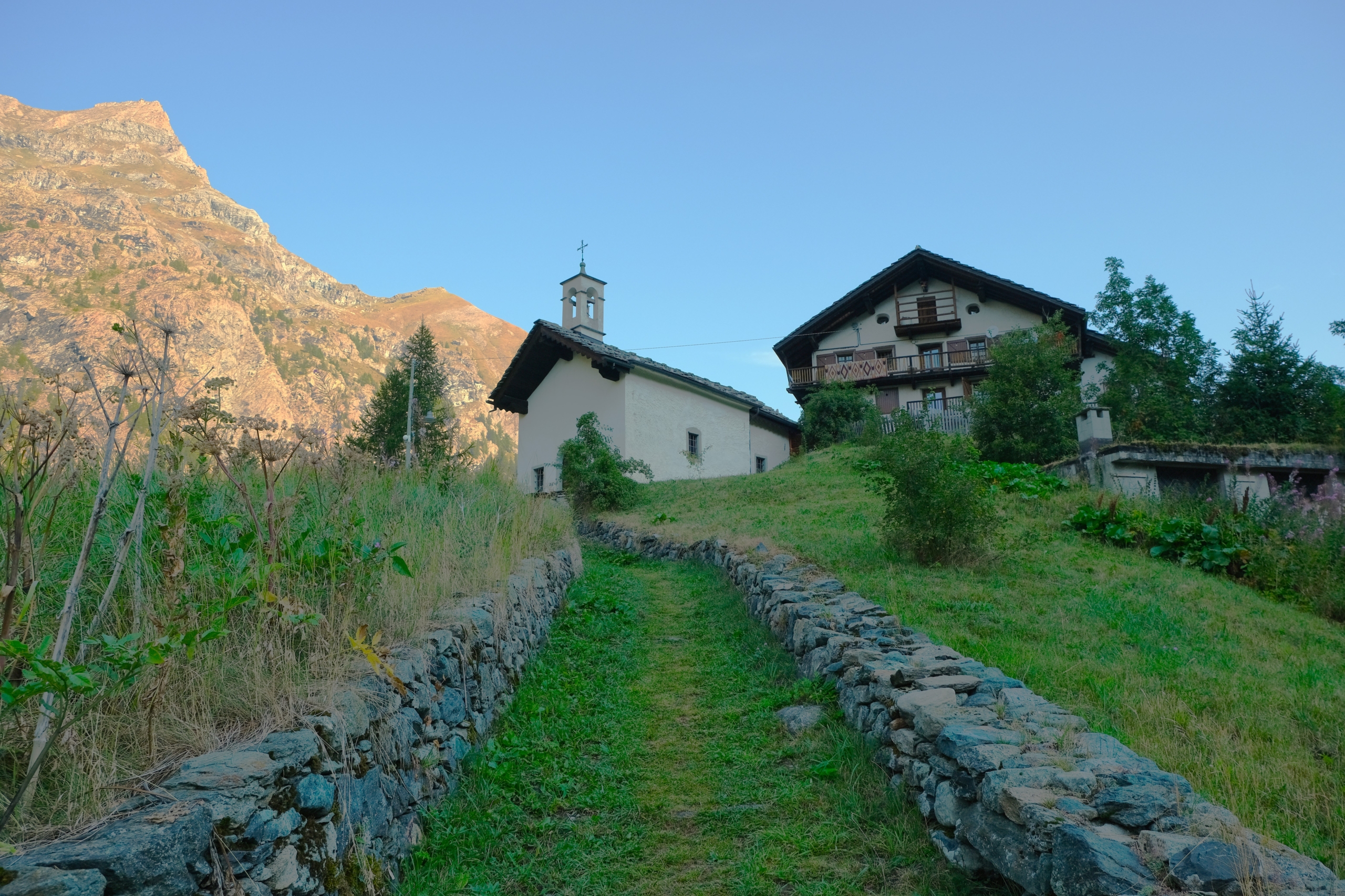
Continue along the road, and take the first left turn, which leads uphill toward the beautiful Chapel of San Giacomo (1,735 m).
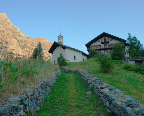
Chapel of St. James in Orsia
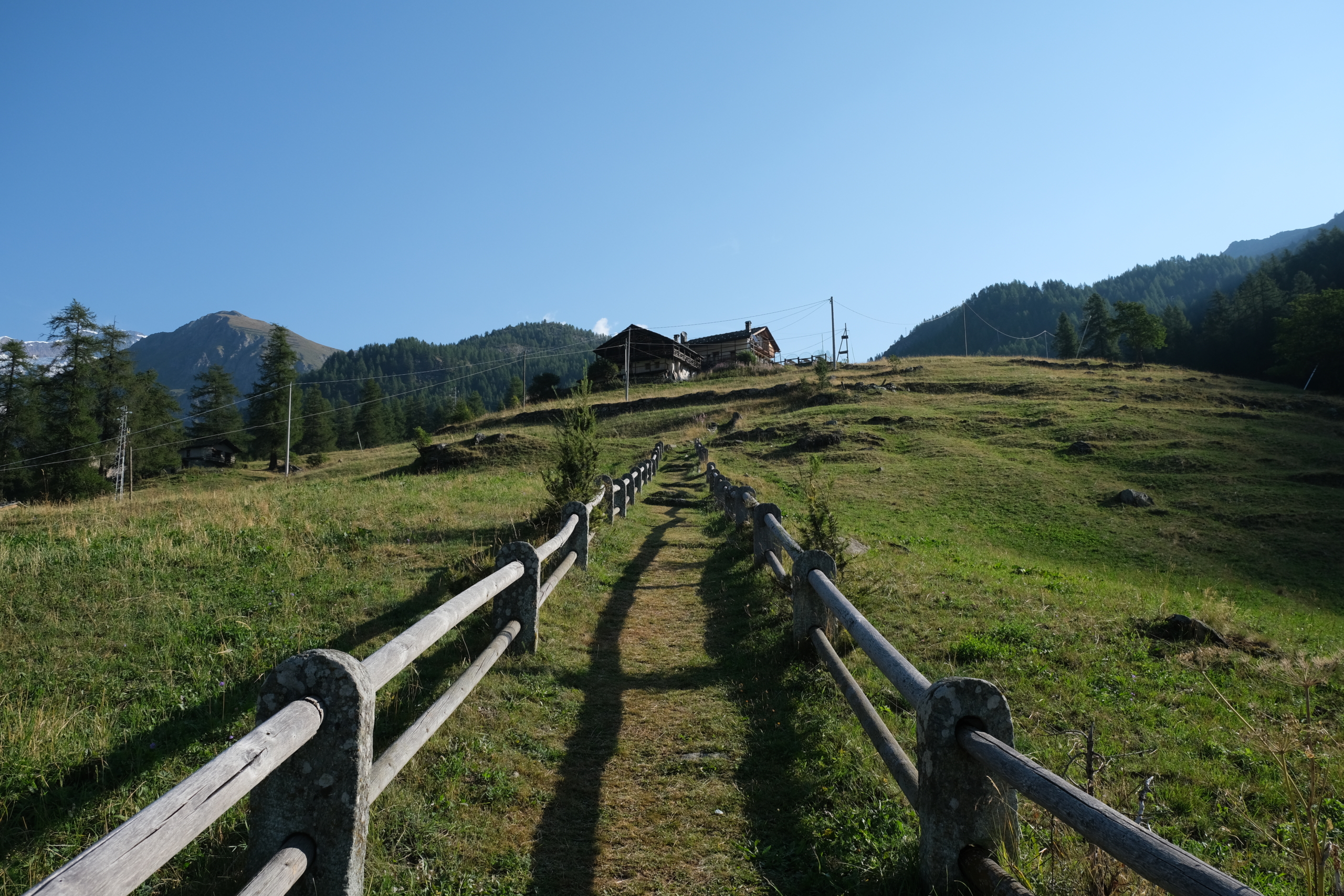
The trail continues along a beautiful stretch bordered by a stone and log fence (one of the most beautiful in the valley) until it reaches the Morgenrot Restaurant (1,840 m).
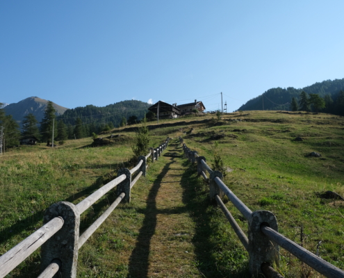
The climb to the Morgenrot restaurant
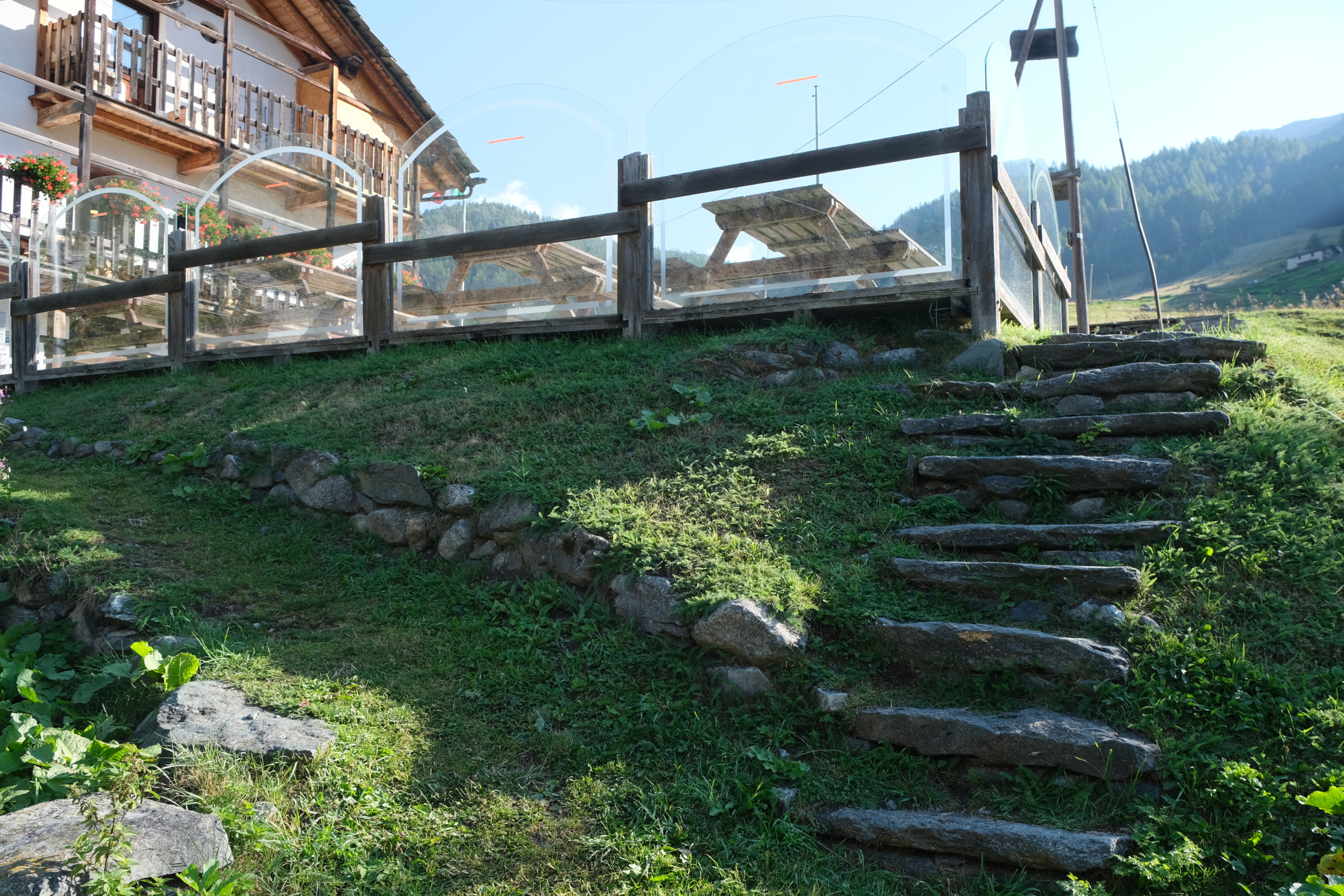
Turn sharply to the right, going up the short stone staircase.
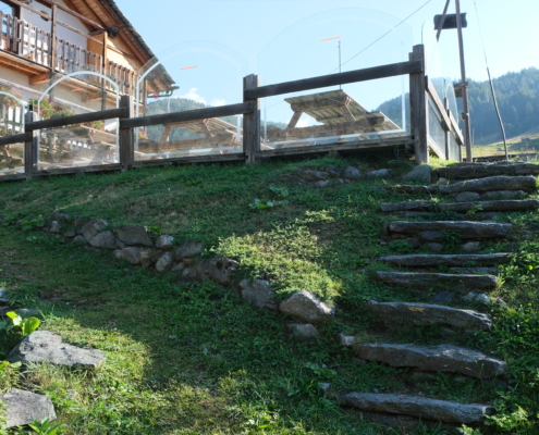
The Stone Staircase at Morgenrot
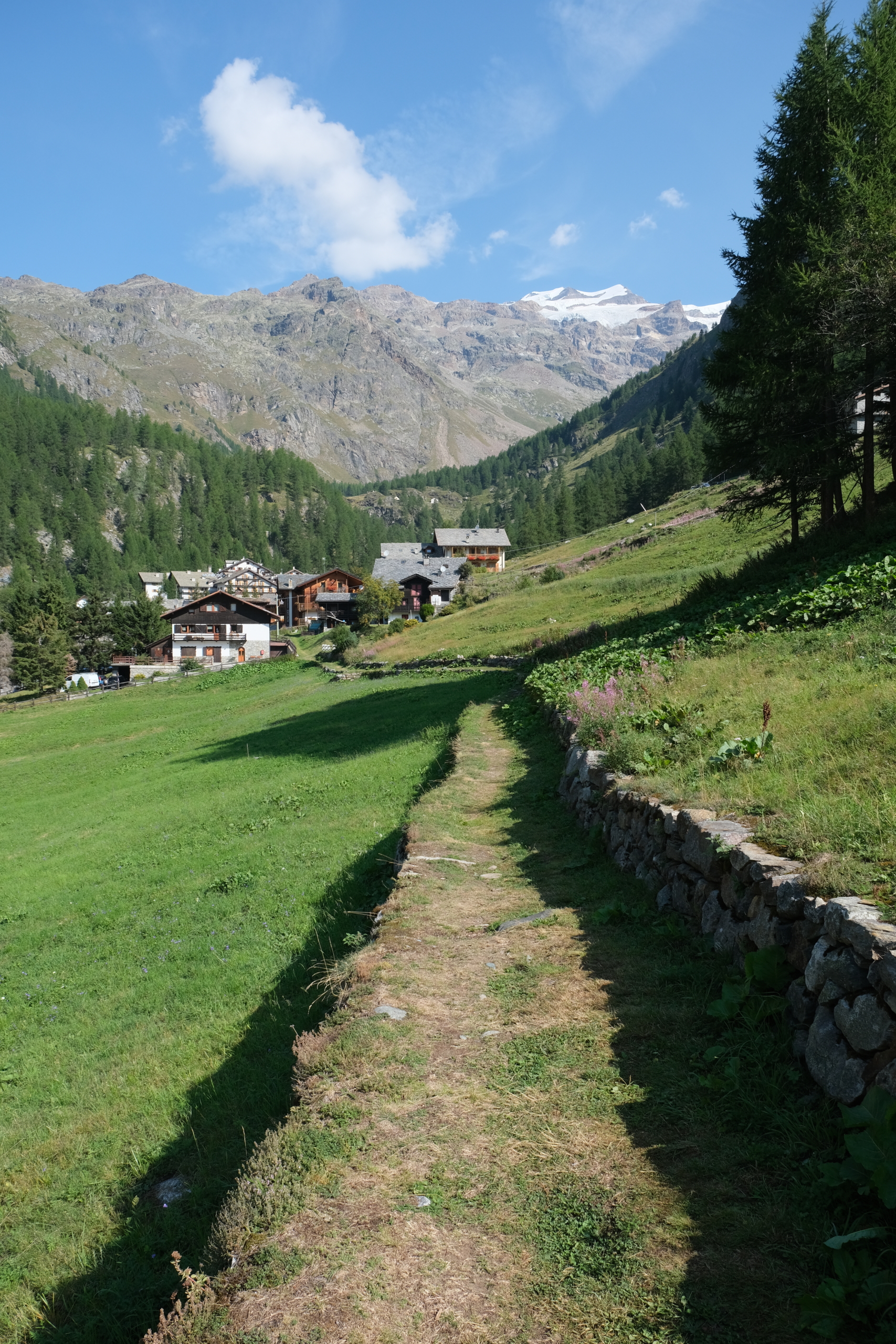
Walk past the restaurant entrance and continue to the right along a straight, wide path through the grass.
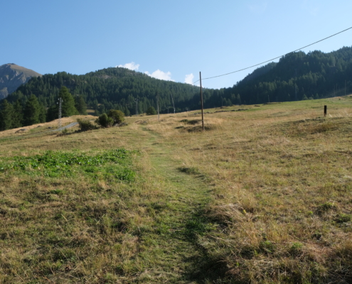
The trail climbs toward Bedemie
Always stay close to the dry stone wall on the left. Once you pass the low wall, the trail curves gently to the right.
At this point, if you like, you can turn right toward the Bedemie-Seehorn chairlift and the Bedemie restaurant (1,910 m).If, on the other hand, you want to follow the trail exactly, you can continue until you reach the group of isolated mountain huts visible a little further up, Ecko Gavene (1,931 m).
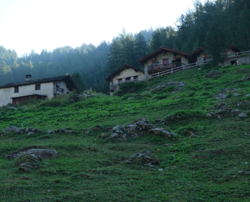
The cluster of houses in Ecko Gavene
Once you’re among the houses, turn left before the watering trough and head downhill toward the base of the Bedemie-Seehorn chairlift and the Bedemie restaurant (1,910 m). Head back up toward the old arrival point of the lifts that came up from Orsia.
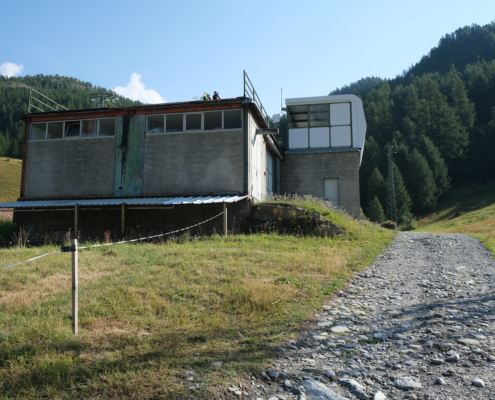
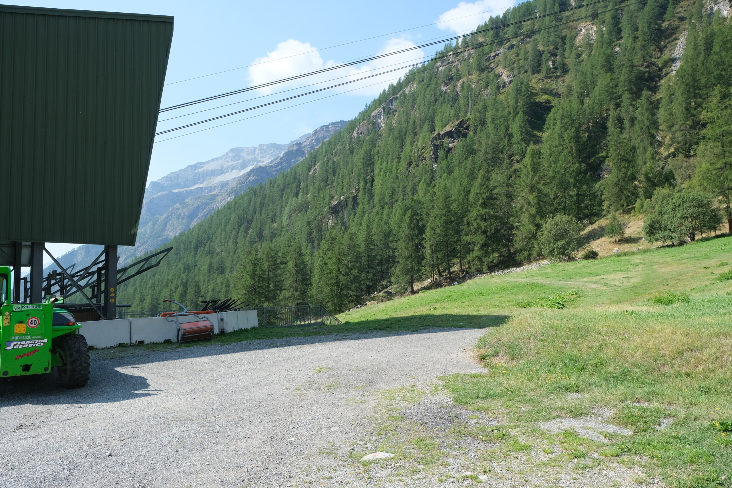
The Old Ski Lifts
Turn around and continue along the dirt road. Follow this road for about 1.5 km: it will first pass through the hamlet of Bedemie (1,910 m) and, after two hairpin turns, will come out onto the state highway again. If you walk the loop in the opposite direction, this sign points to the dirt road you should take to go uphill.
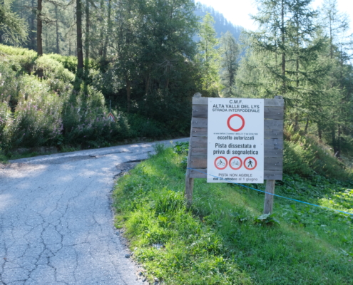
The sign pointing to the dirt road that just ends
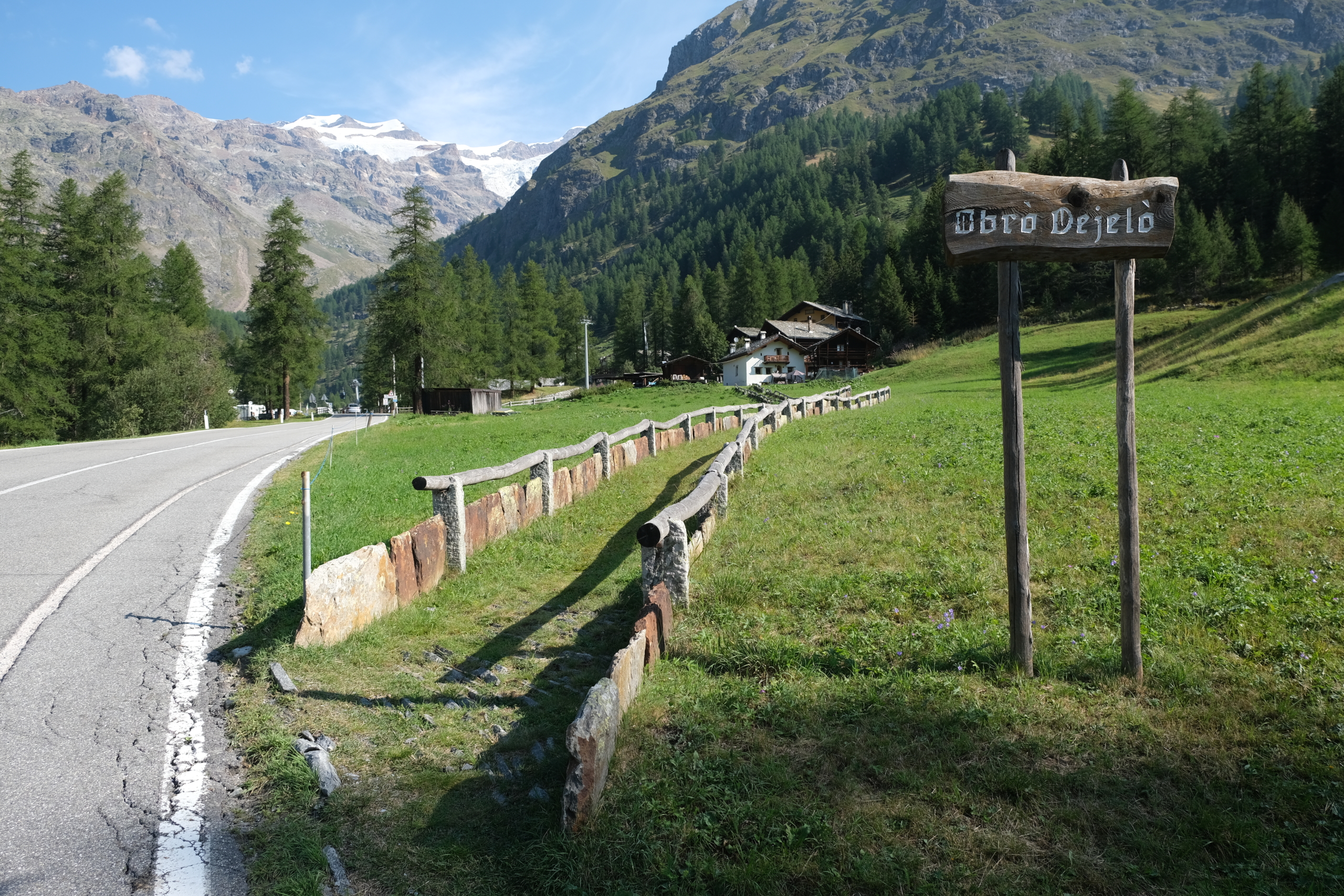
After just a few steps, you leave the road again and take the trail that starts next to the Obro Dejelo sign (1,837 m).
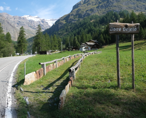
Obro Dejelo
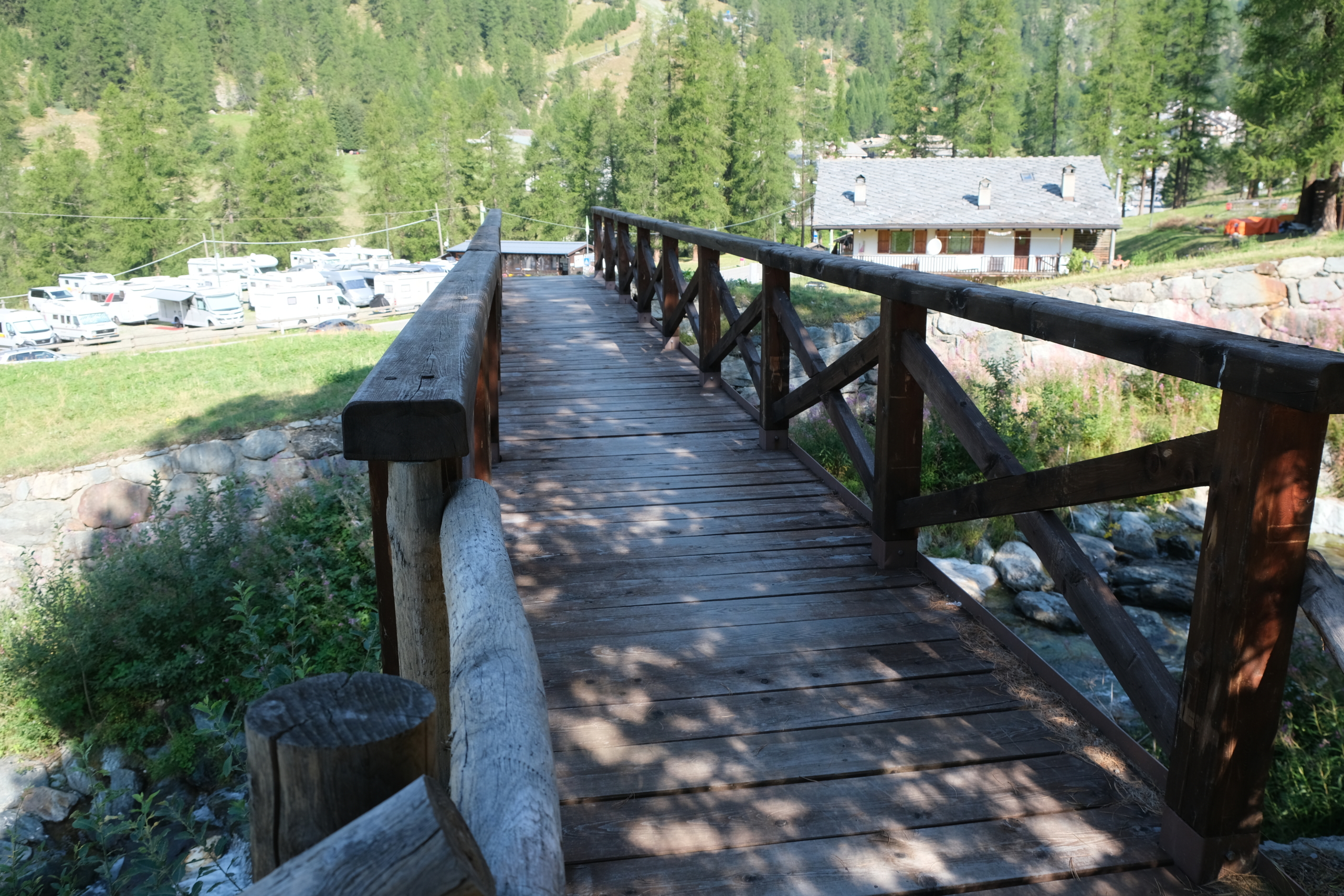
Once you’ve finished the short stretch on the grass, cross the small wooden bridge.
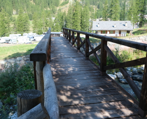
The bridge to cross
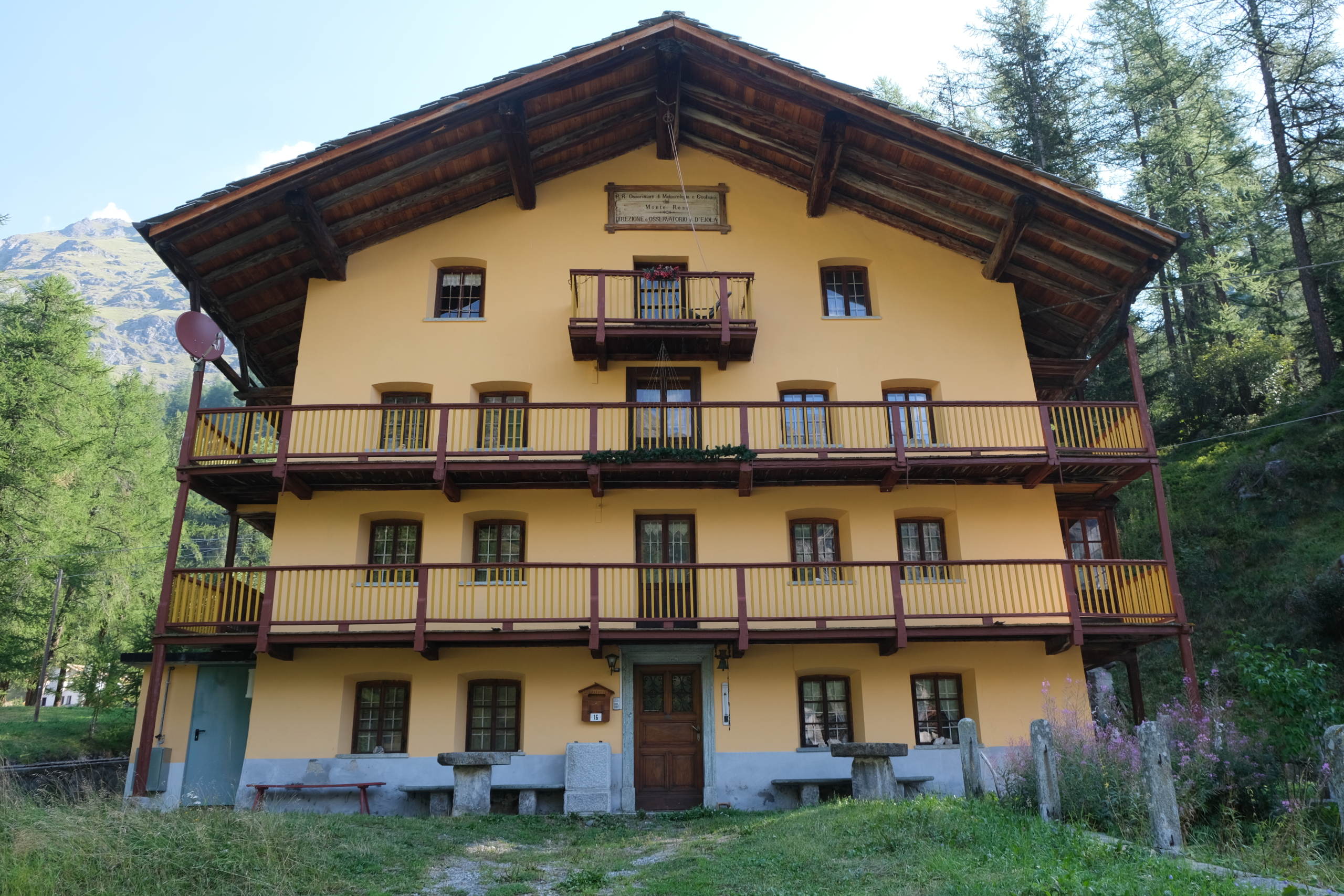
On the right, before the bridge, take note of the beautiful building thathouses the Ejola Meteorological Observatory.
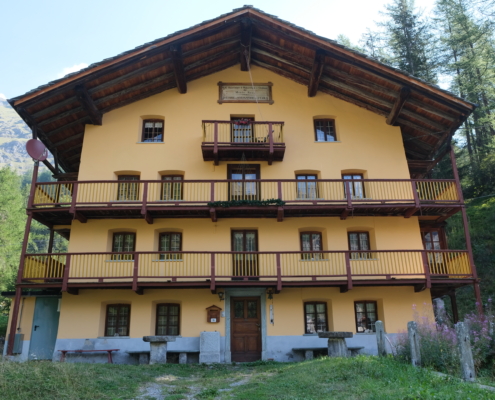
D’Ejola Weather Observatory
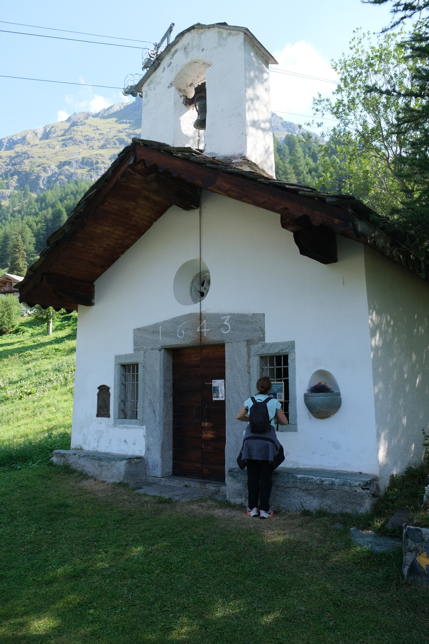
Continue slightly uphill until you cross the road again: a new waymark points the way to trail 15. You’ll pass by the beautiful Tschaval Chapel, dedicated to Saints Peter and Paul.
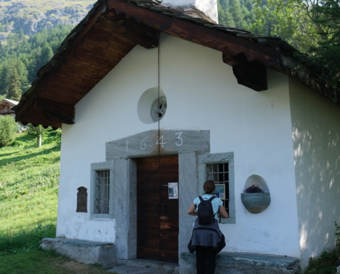
Tschaval Chapel, Dedicated to Saints Peter and Paul
Continue along the trail until you reach the cluster of houses, then leave the trail and head down to the state highway.
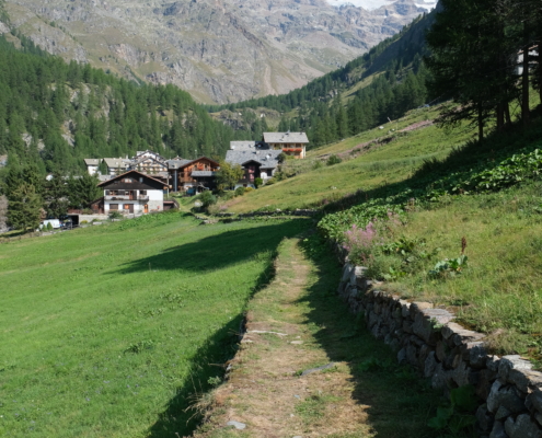
The last stretch before turning onto the road
We arrived in Stafal (1,843 m).
To head back, continue along the state highway to the end, crossing the bridge that takes you to the right bank of the Lys, then leave the road at the Chalet Du Lys and turn onto the narrow dirt road. Continue until you reach the Stafal-Sant’Anna cable car departure station .
You’ll see the yellow markings 15 and 9a on a cable car support beam. Continue briefly uphill along the ski trail until you reach the waymark visible on the left.
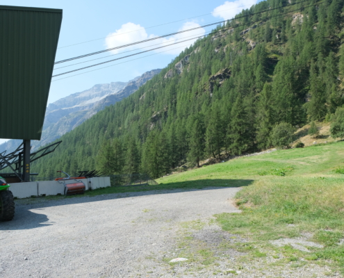
To the right of the station, you can see the yellow waymark.
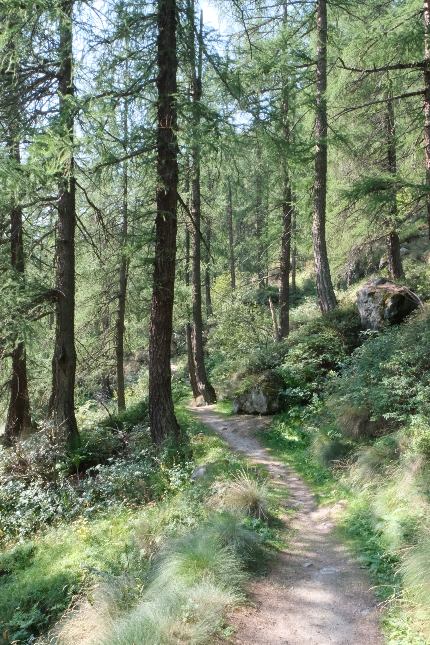
The trail continues through the shade, gently winding up and down behind the houses in the hamlet of Anderbatt that overlook the road.

The shady trail behind Anderbatt
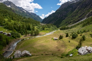
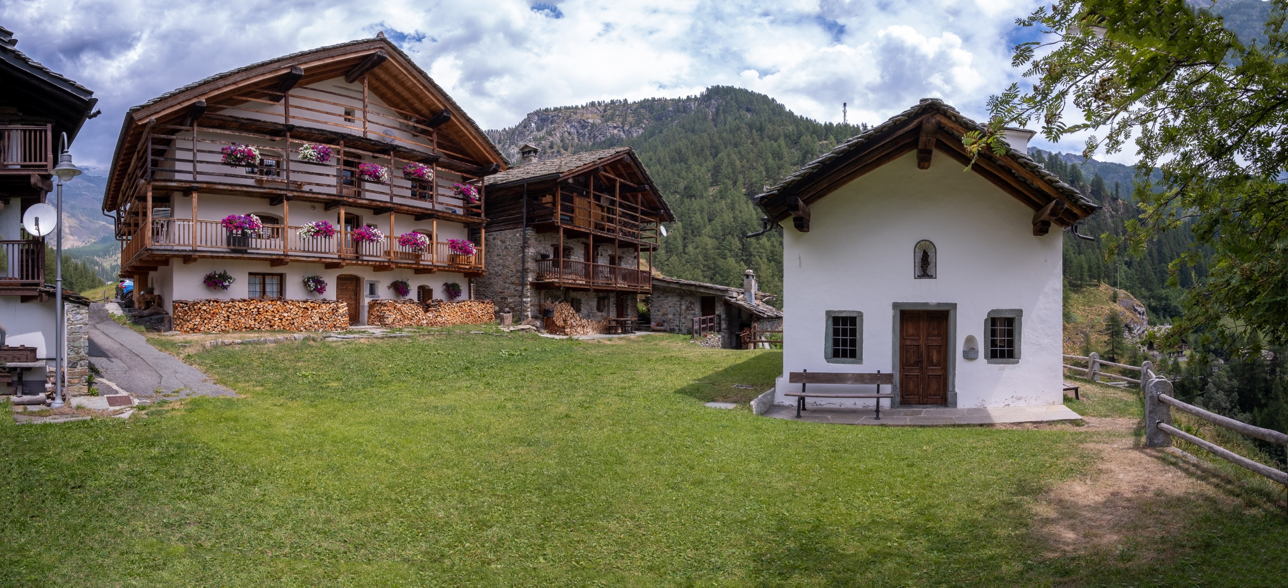
You’ll soon reach the hamlet of Biel (1,792 m): leave the trail for a moment to admire the Chapel of Our Lady of the Snows and the wonderful view from the fence overlooking the clearing below.
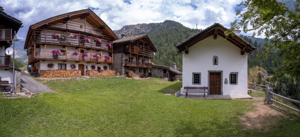
Biel houses
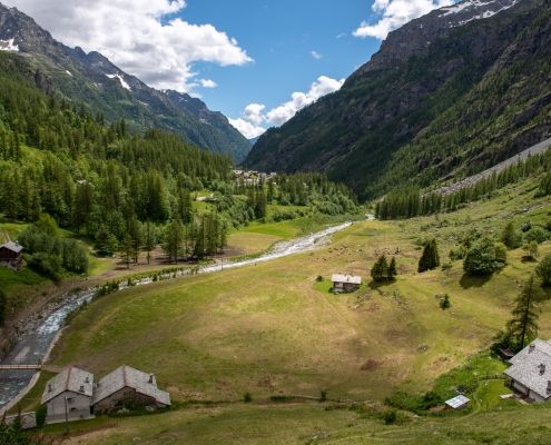
The view of the Lys from the top of Biel
Return to the trail, which descends steeply with two hairpin turns and passes through the small hamlet of Batt (1,755 m). On the right, you can see the spot where the Lys is completely spanned by several large boulders, forming the only natural bridge along its entire course.
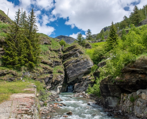
The natural bridge over the Lys in Batt
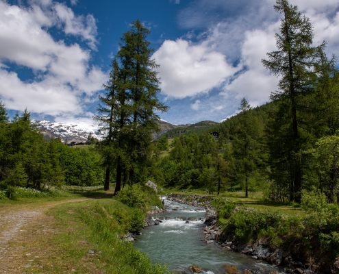
From here, the trail continues along the orographic right bank of the Lys.
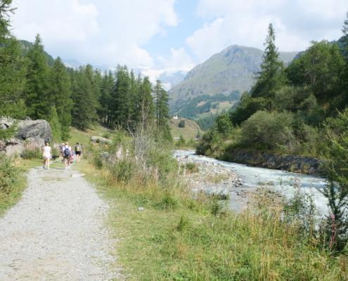
The trail on the orographic right
At the first bridge you come to, you can cross it and follow this final stretch along the short Trail 9A, which runs on the left bank of the Lys. From here to the provincial capital, there are several other bridges that allow you to cross from one bank to the other.
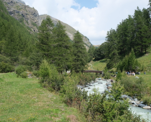
One of the three bridges that allow you to cross to the left side
We then returned to the village of Tache in Gressoney-La-Trinité, as soon as we reached the bridge that leads back to the Punta Jolanda parking lot.
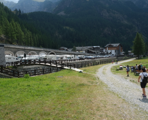
The Punta Jolanda parking lot from trail 15
Walk through the pedestrian zone and return to the starting point by crossing the Lys again over one of the many bridges.